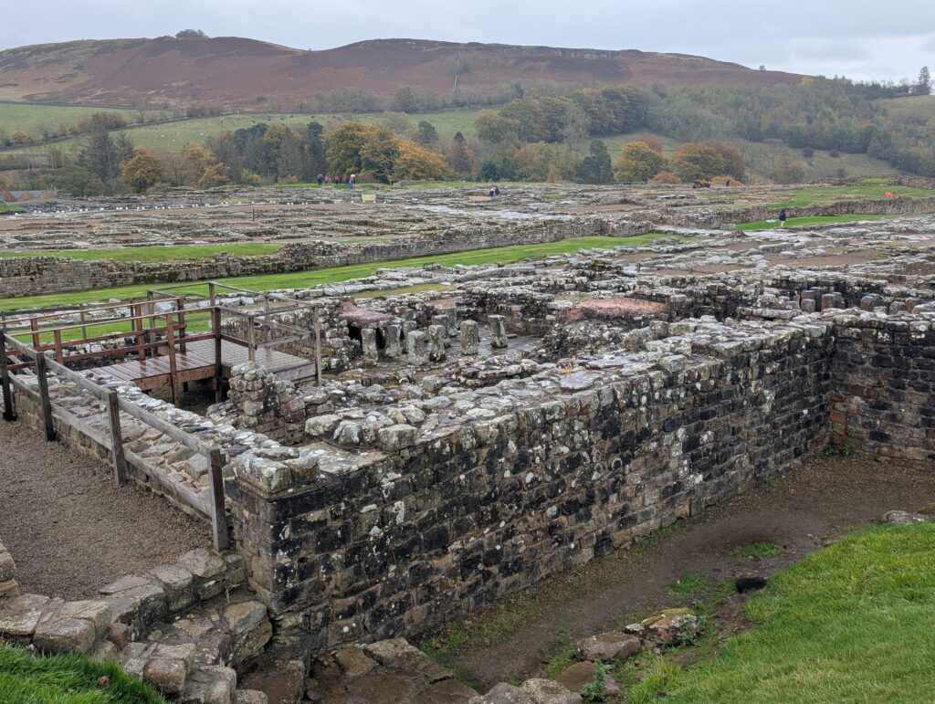
I rented a car for a day to try to see as many points along the wall as I could. I stopped first at Chester’s Roman fort. It is named for a gentleman who inherited a house and land and noticed the rock structures partially buried in the ground. As people talked about a high wall that those in the 17th century would walk in, he believed these to be part of a Roman wall that defined the outer reaches of the Roman empire in 150 AD.
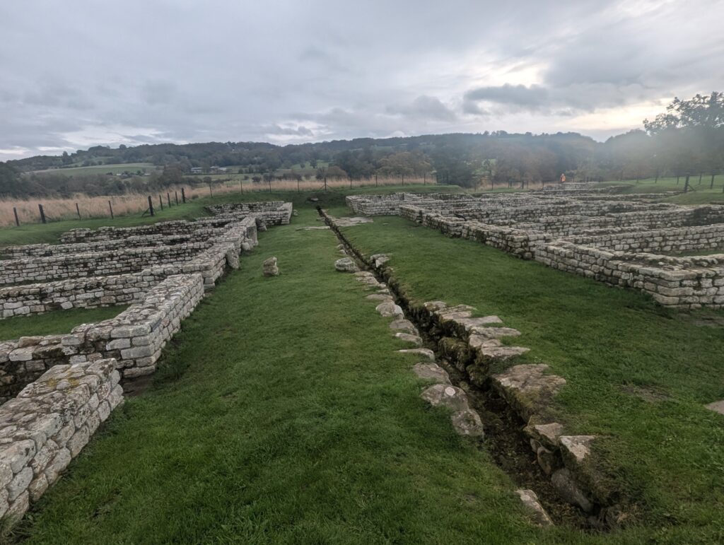
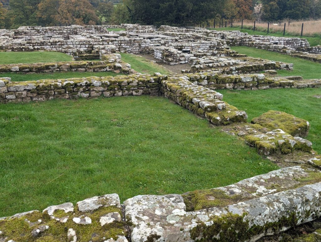
On each side here are garrisons for troops. In each room, the men stayed with their horses as they were rented by the soldiers.
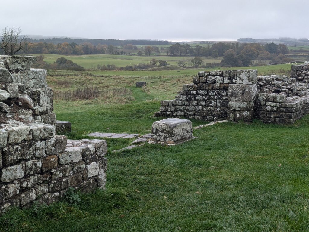
A base of one of the watch towers.
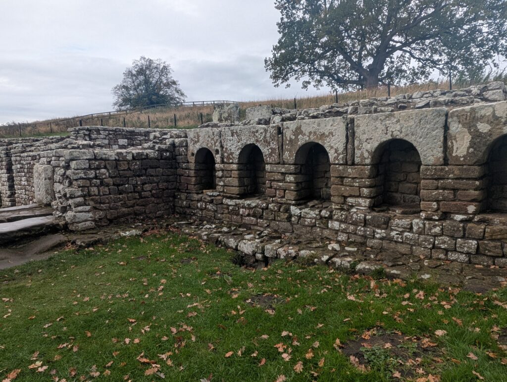
This part is near the river Tyne and is a bath house. Water was heated for steam rooms and warm baths with the lower areas being cold baths.
The west gate has two towers and gates that closed in the middle.
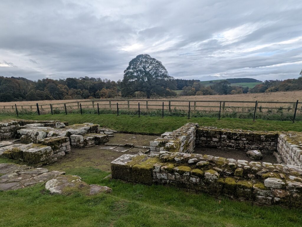
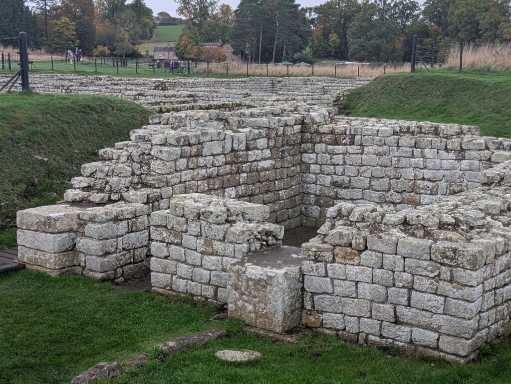
The commanders quarters which were much grander.
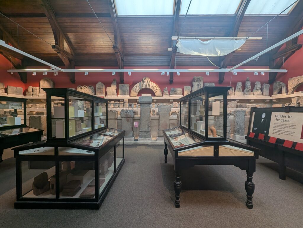
The artifacts taken from the area were placed in a museum on site.
Next I went to Carrawburgh Roman fort.
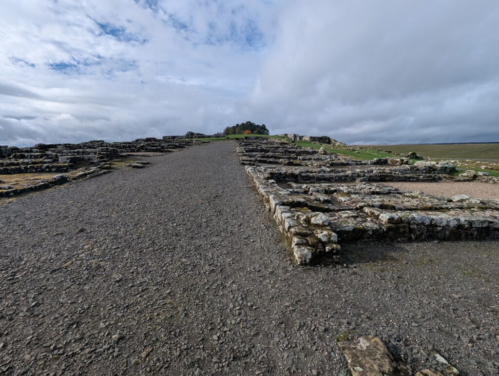
This would be the road that runs through the fort.
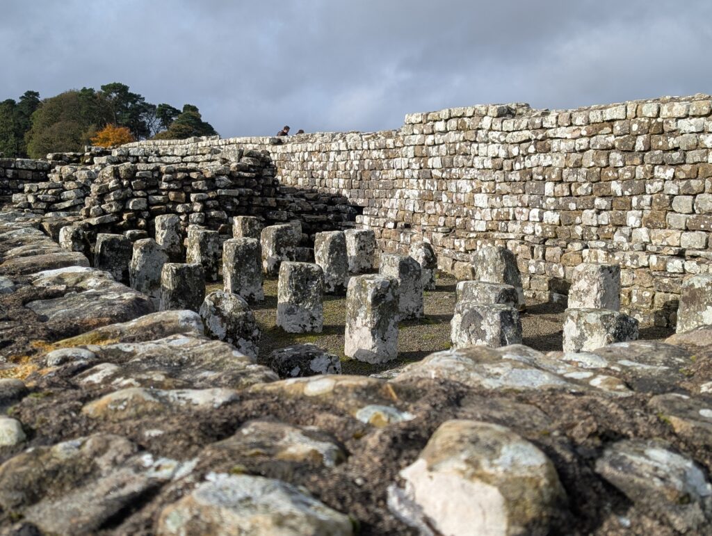
This would be the posts that would hold the sub floor of the granary. It would be elevated to keep pests out and had air vents for circulation.
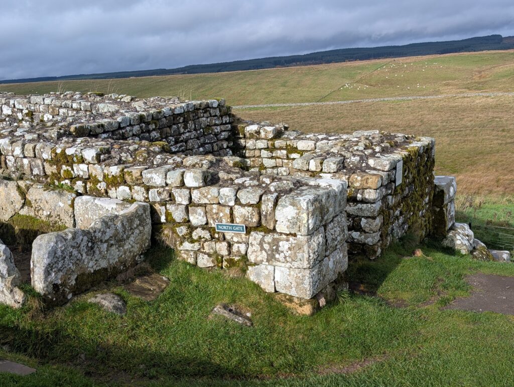
The North gate. Outside the gates would be village houses of those that would have places for visitors to stay and merchants that sold food and other items.
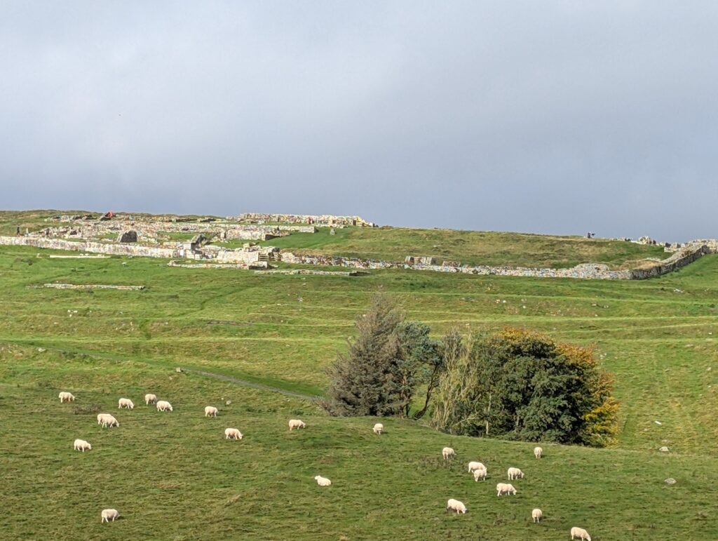
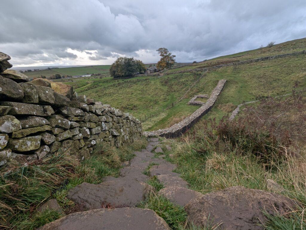
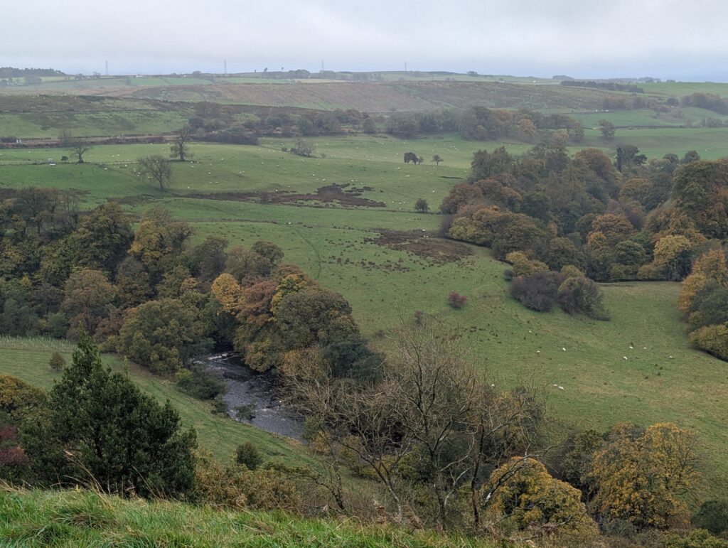
I then drove to Steel Rigg which did not have a fort but was a section of the wall that went over a large hill. As it started raining and the stones were slippery, I only went up half way.
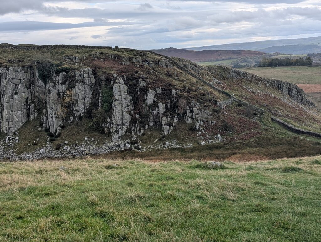
At many points along my tour you can see where the walls seemed to end as they were covered over in earth and no excavated. The walls themselves were 4.5 meters high. What is left is not as high. As I drove around, I could not help but wonder which farmers stone fence and stone buildings were made from rocks taken from Hadrian’s wall.
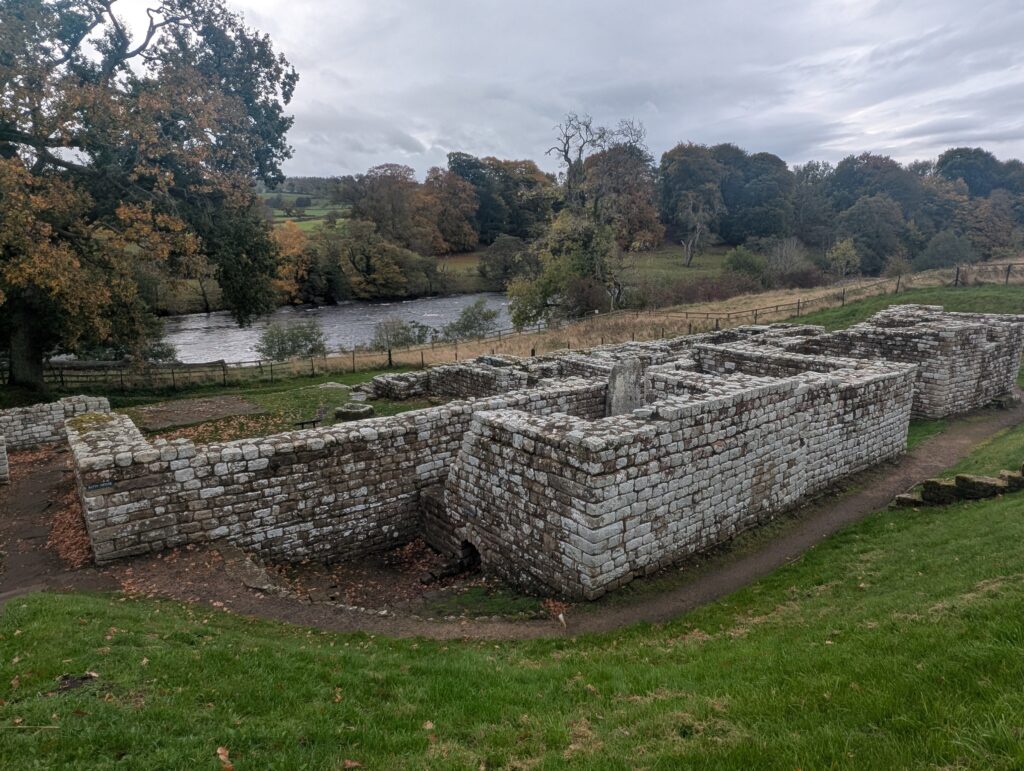
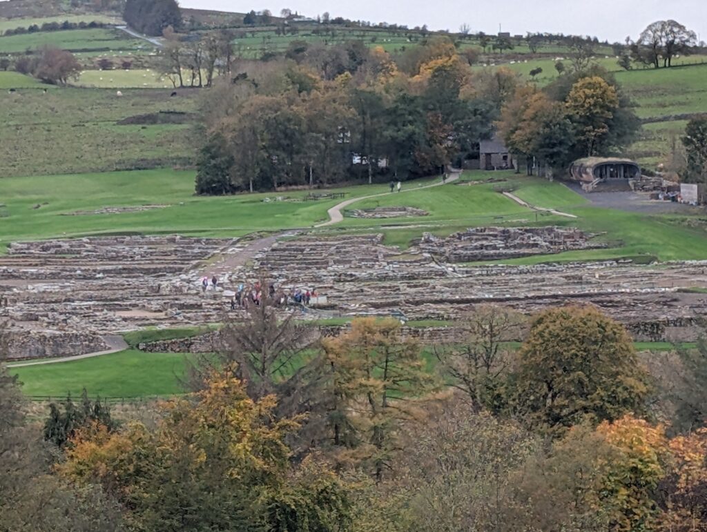
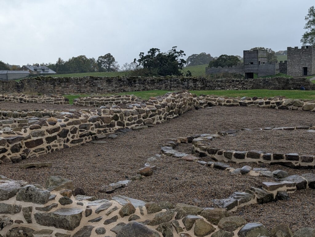
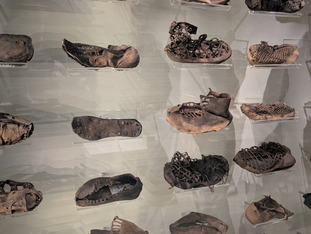
In Vindolanda I saw much of the same things. There was more remnants of the village houses outside the walls of the fort. There also was a large cache of discarded footwear discovered that surprisingly did not deteriorate. Driving to these places was beautiful and quite fun with the narrow English country roads.
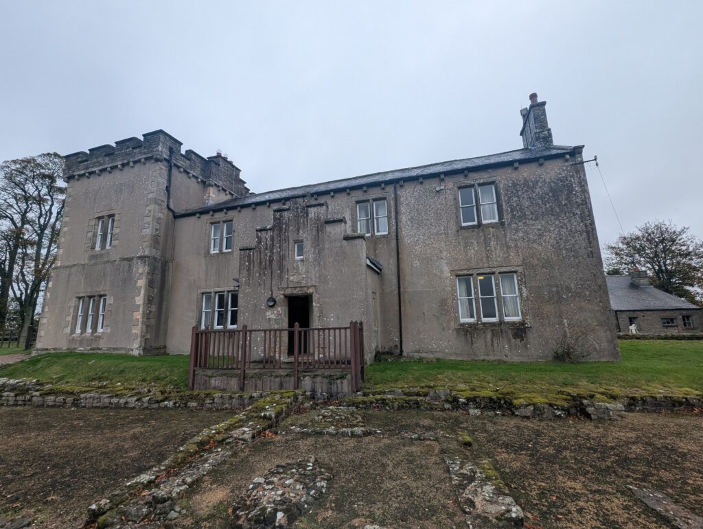
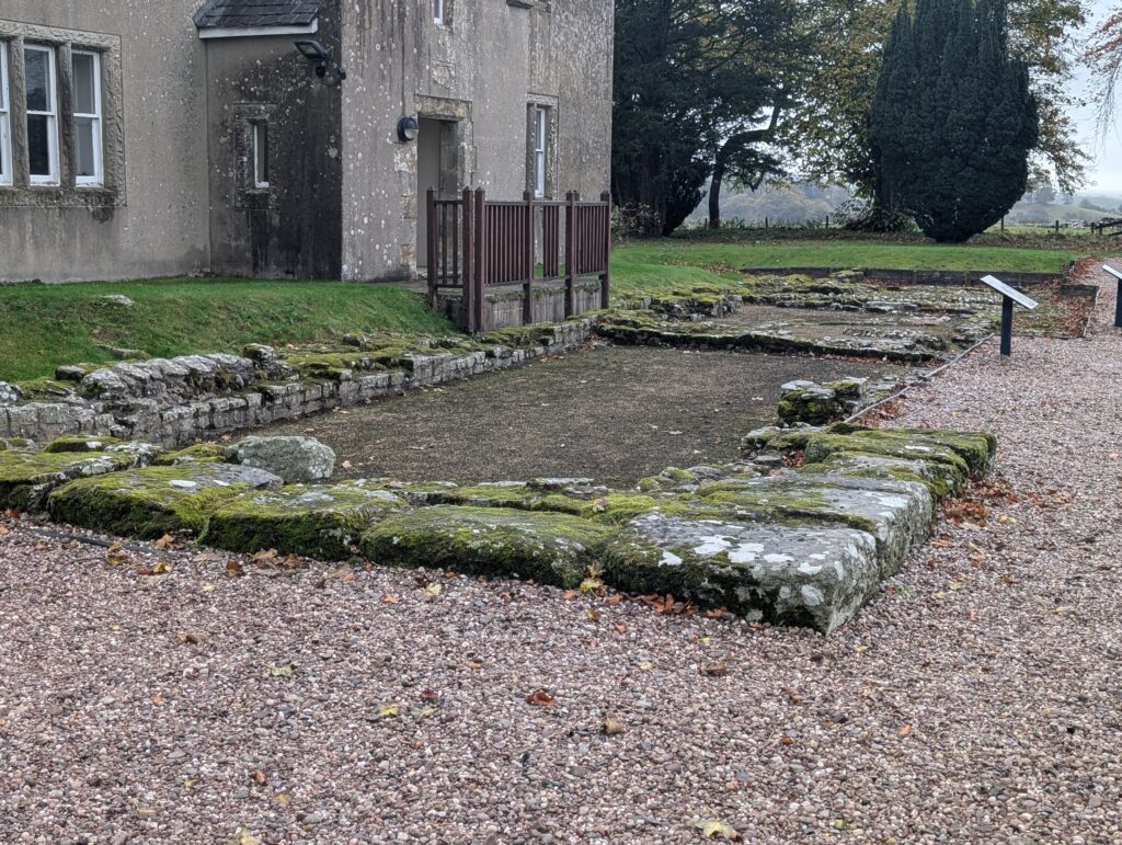
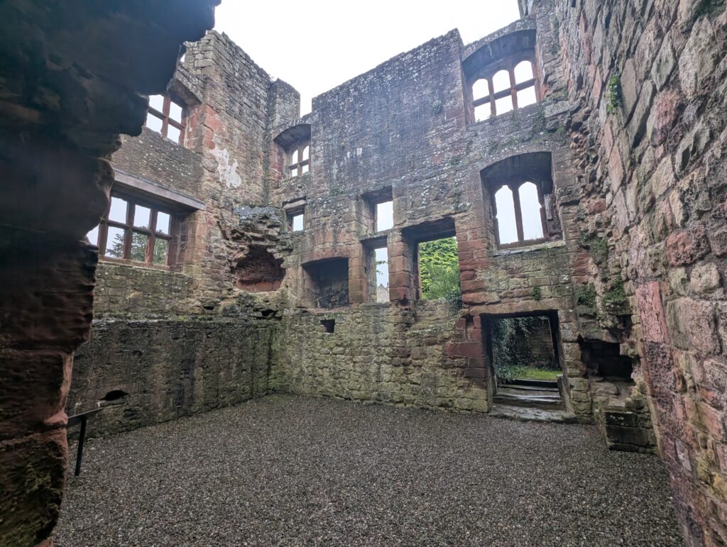
Next was Birdoswalds. It had a later created house that protected the village from raiders. Living space was on the upper floor and ladders could be pulled up so that people could not get to the people or their property.
This is the one archaeological site that has a drill and exercise hall based upon the artifacts recovered.
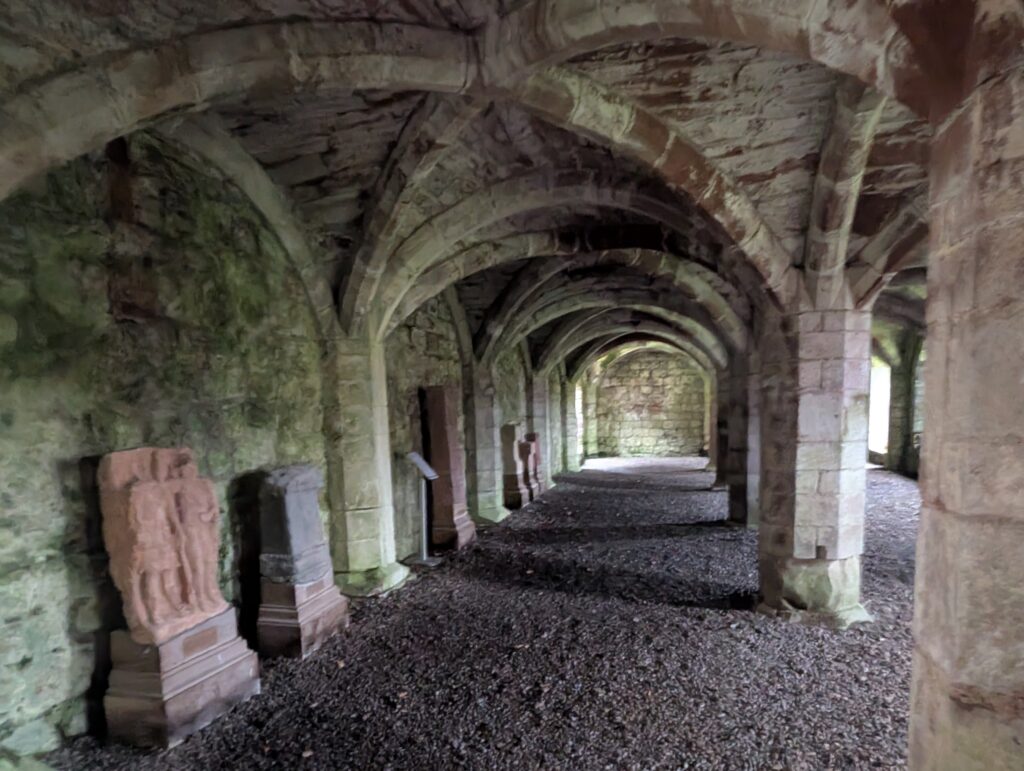
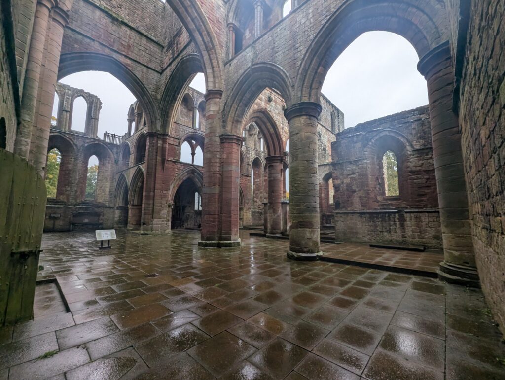
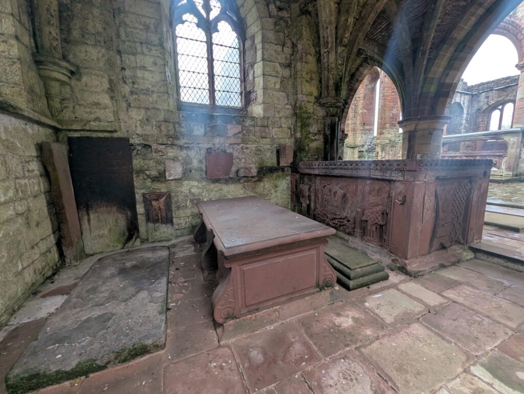
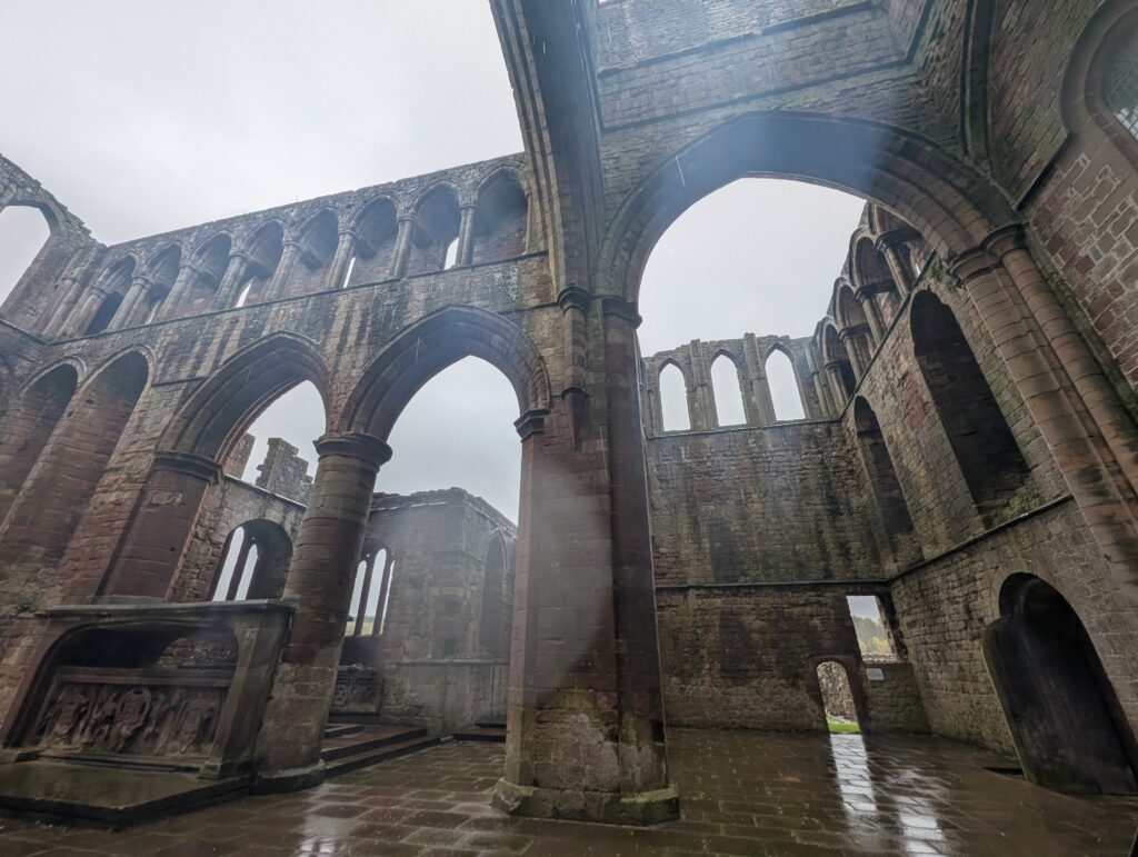
Close by was the Lanercost priory. It was created in 1165. Since it is close to the England and Scottish border, it was in the middle of many disputes and offered refuge to people and pilgrims.
At this point my shoes and jacket were wet from rain and there was no more time to gain entry into another historical place. I drove back to Hexham and returned the car. I also did not stop for lunch and was hungry. I looked at places along the way and saw this tavern that had Bangers and mash. Very warm and filling after a long day.