After leaving for Auckland and the 3 hour trip, we looked for interesting places to stop.
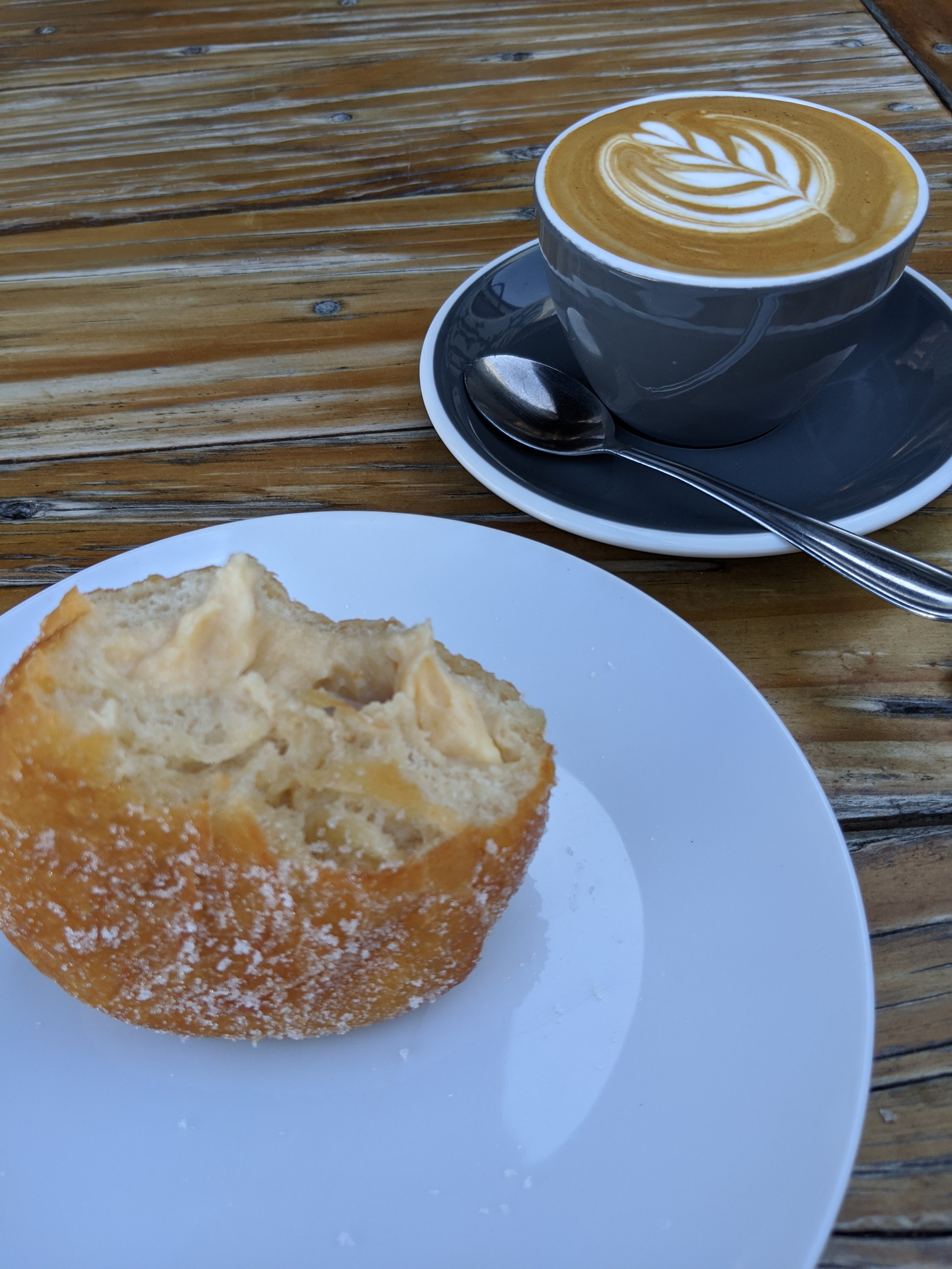
First was a coffee shop downtown that had great coffee and doughnuts on Fridays. Mine was a marscapone, rosemary, and apricot filled. It was yummy but it has been 3/4 year since my last donut. Now I remember why.
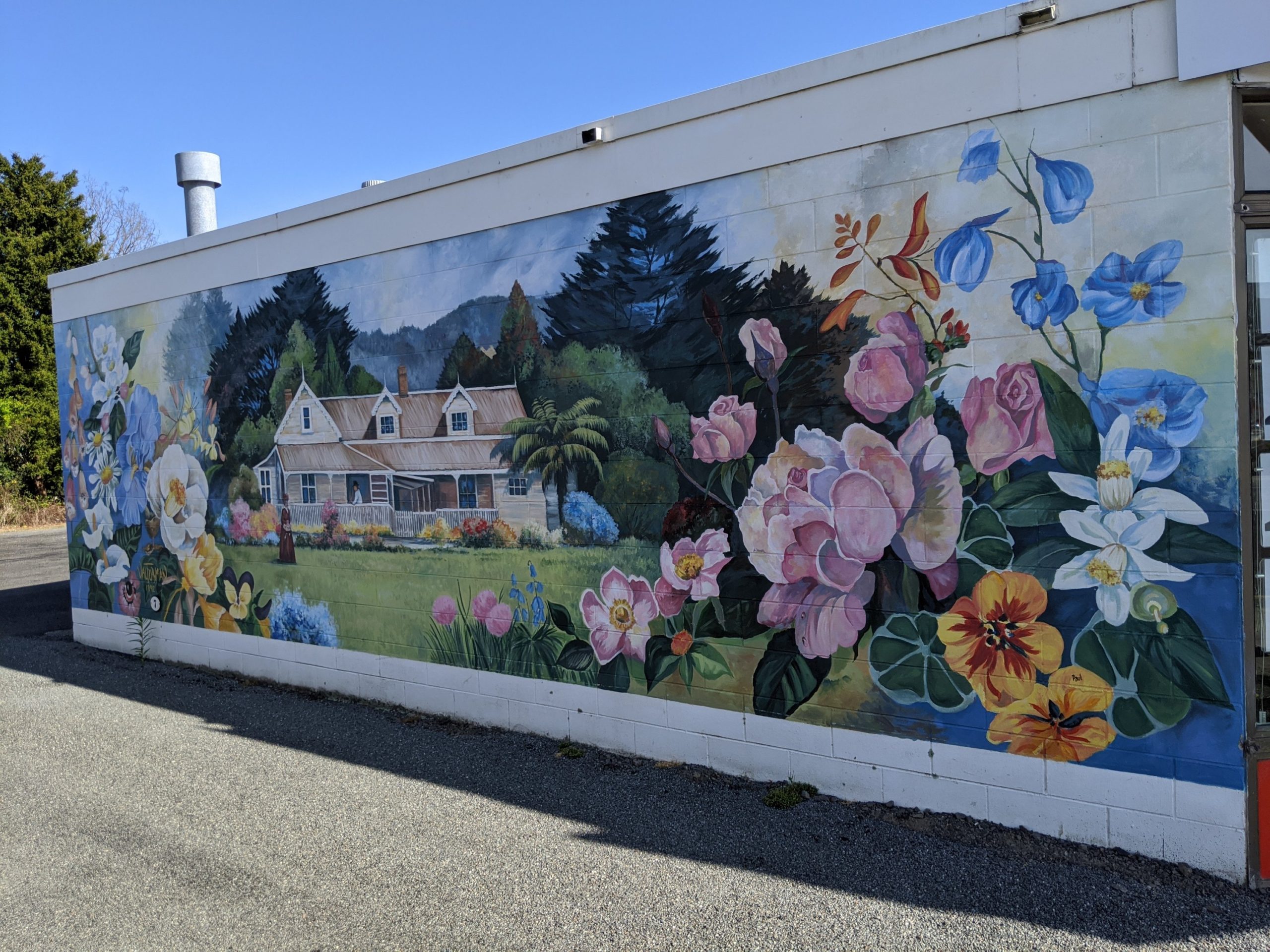
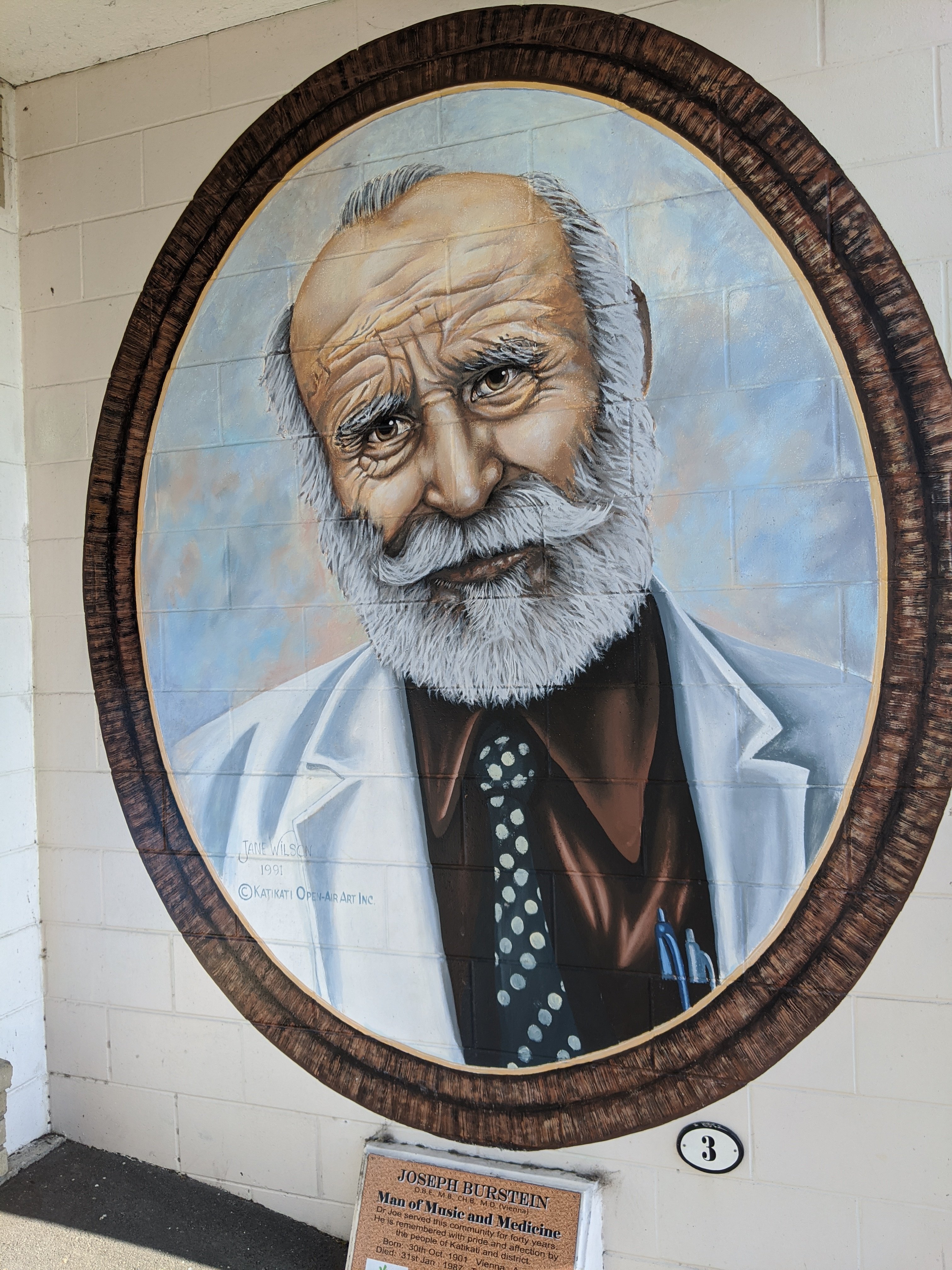
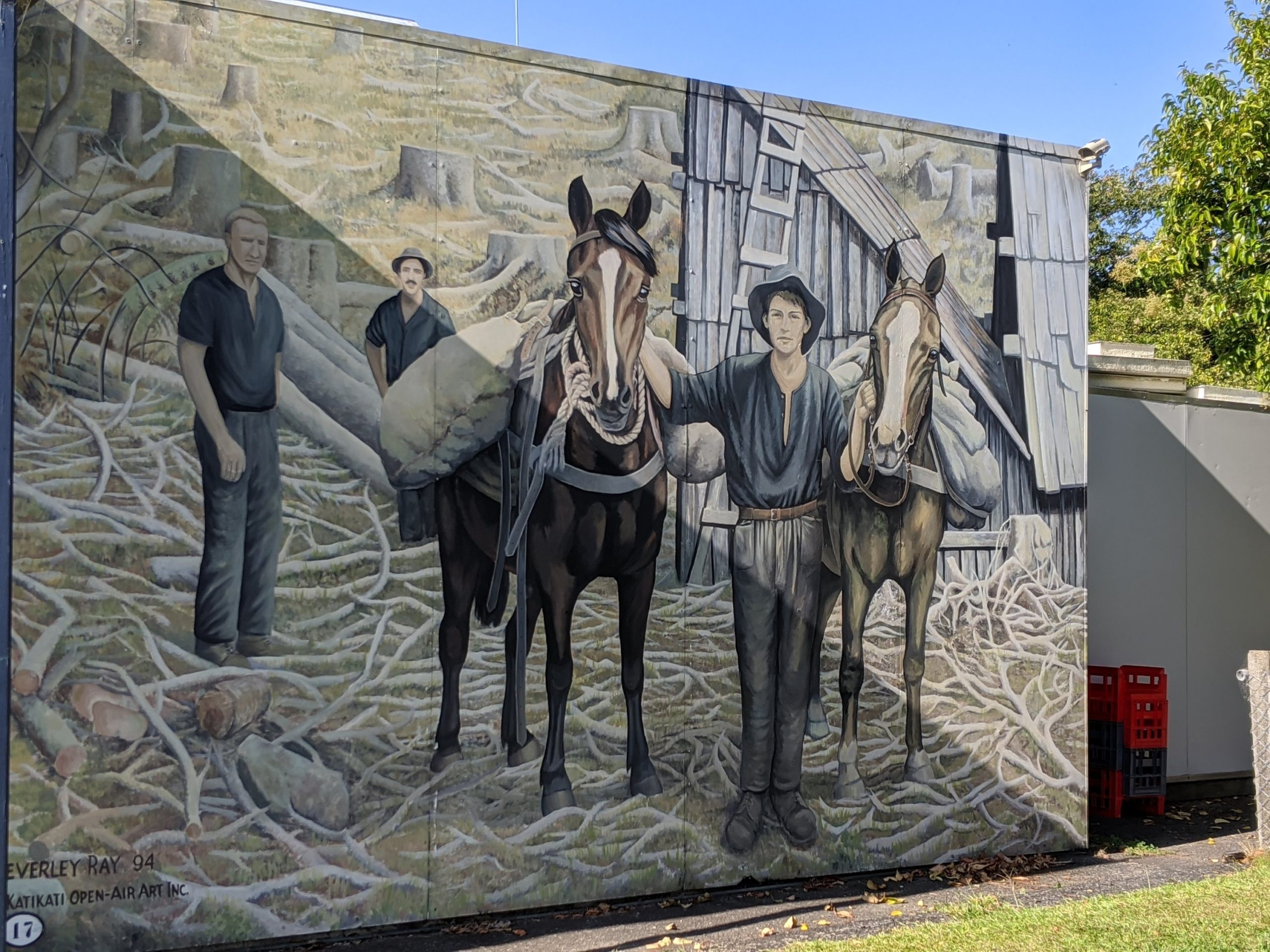
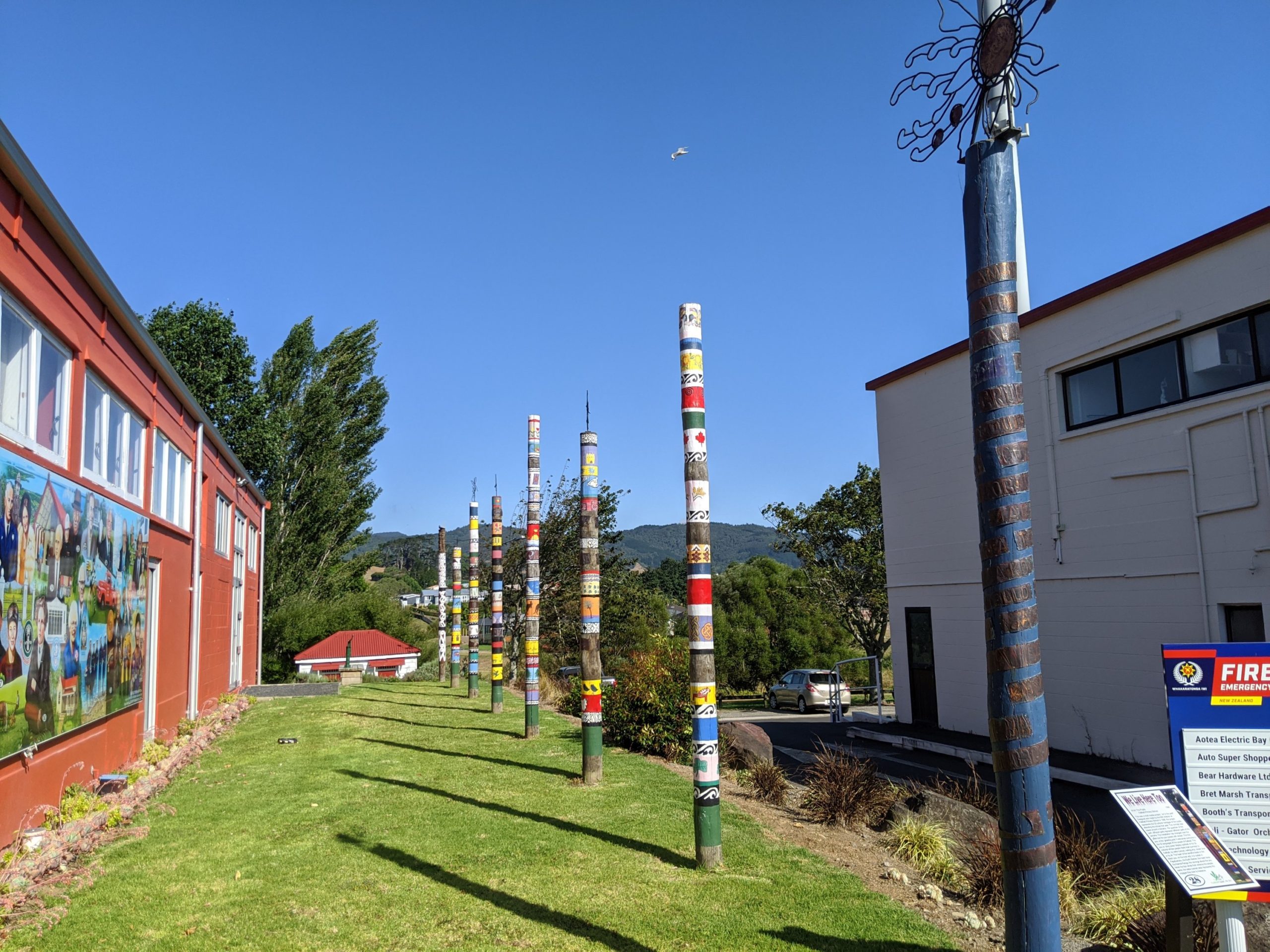
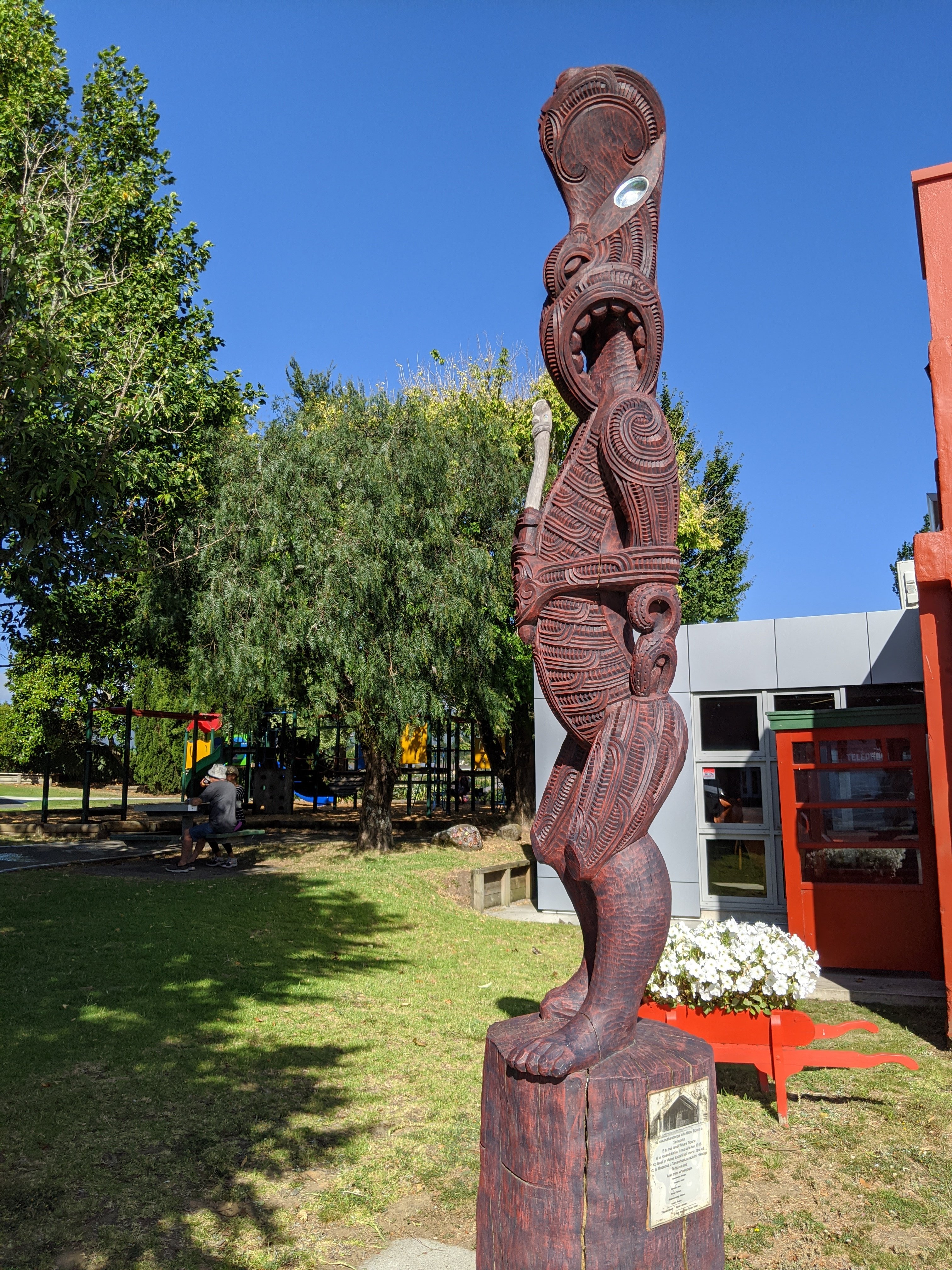
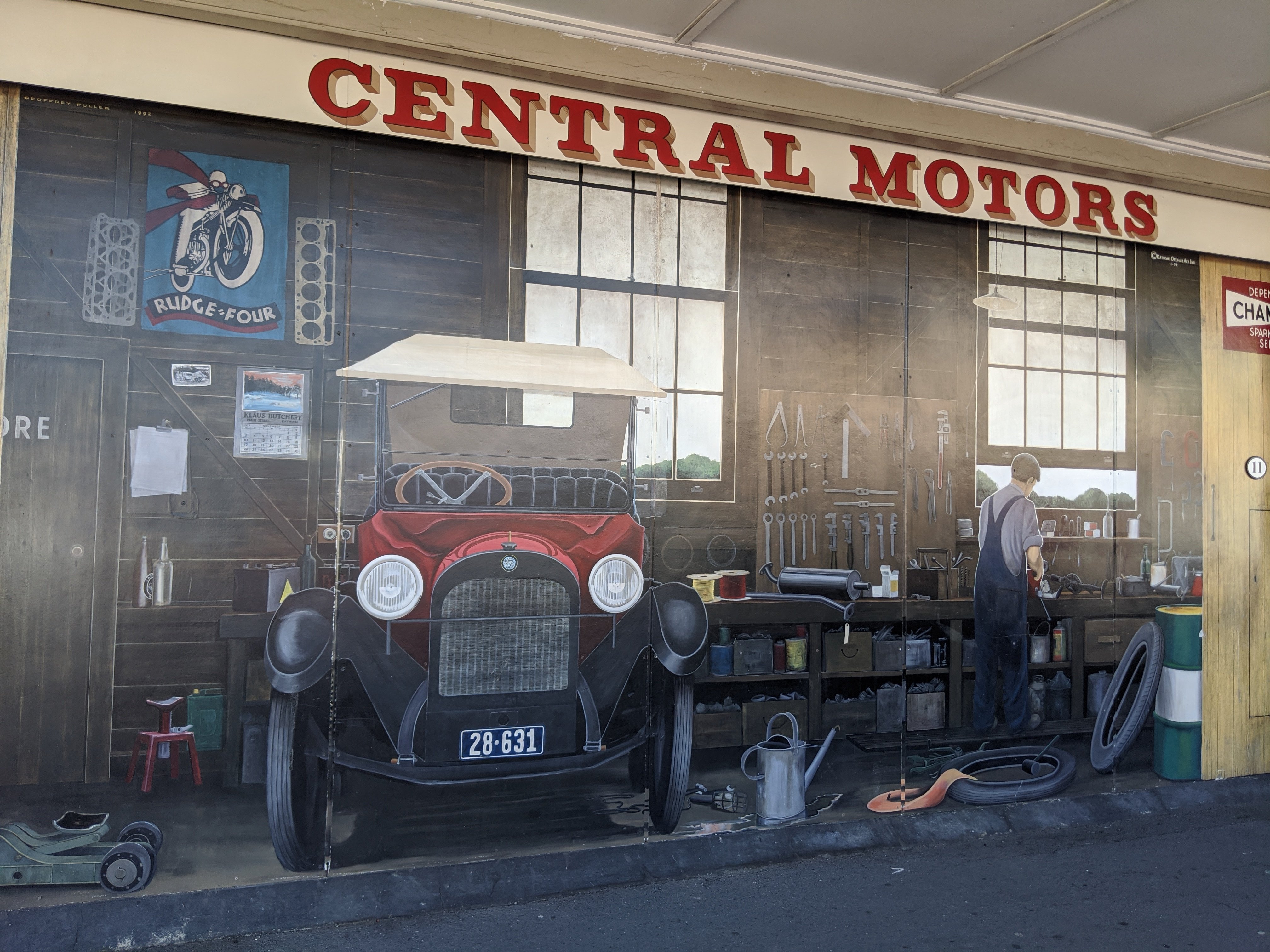
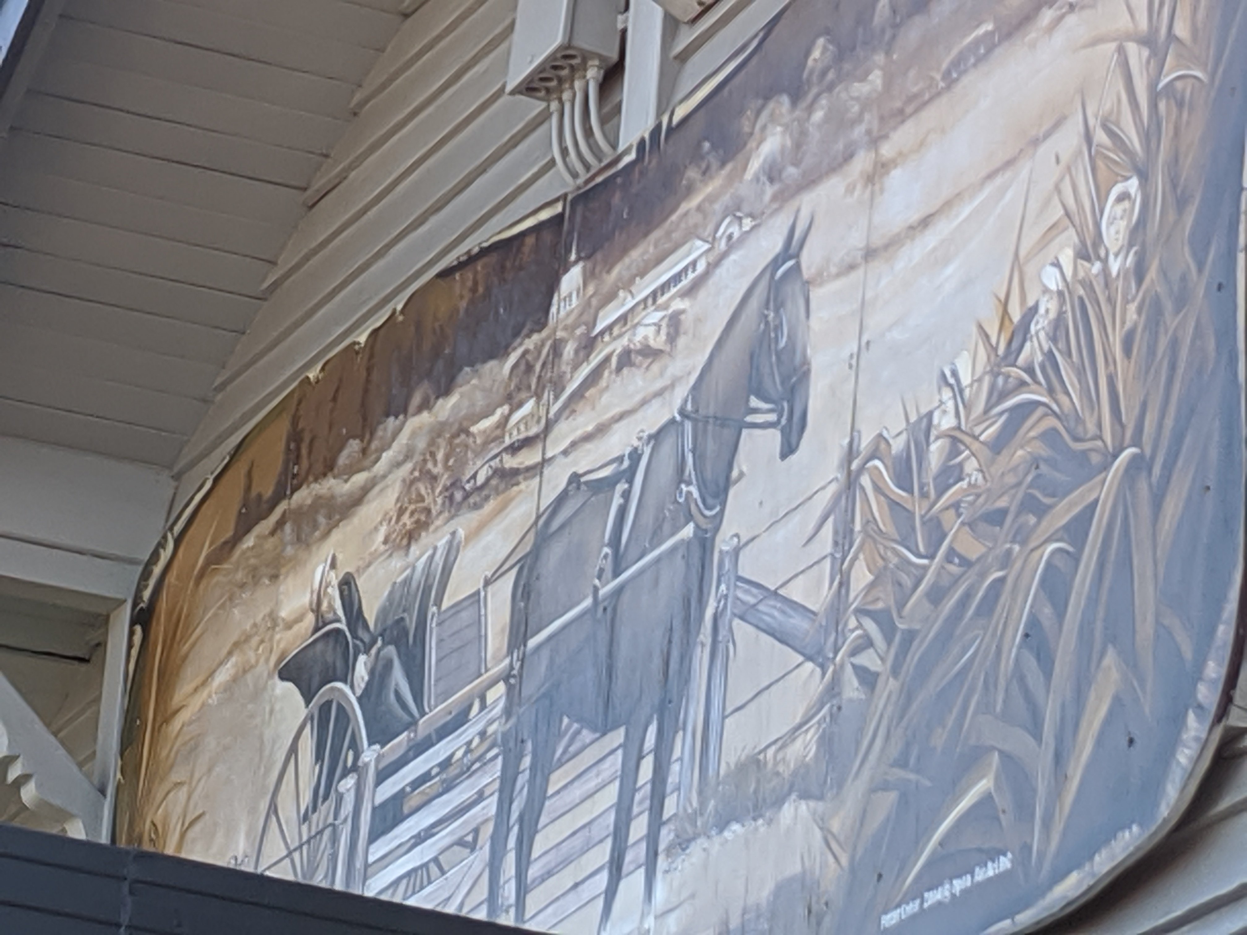
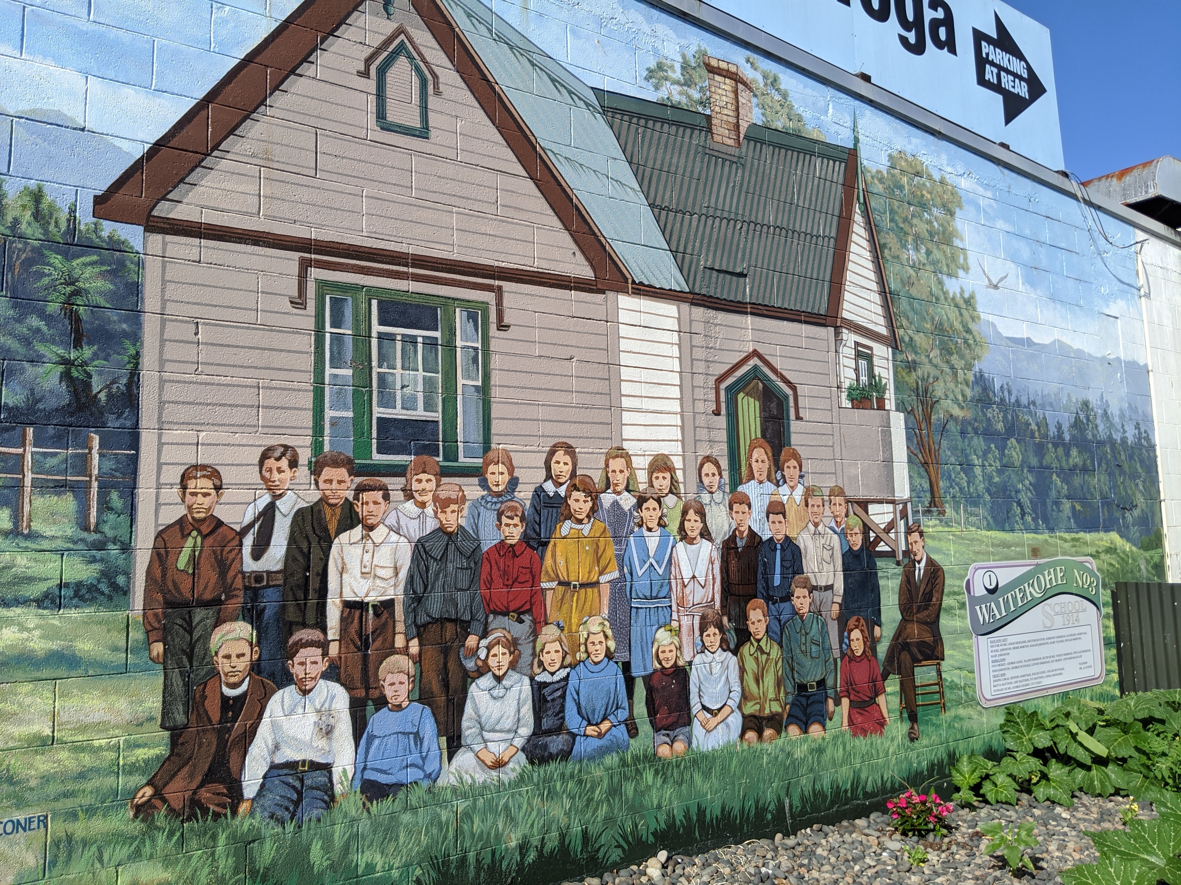
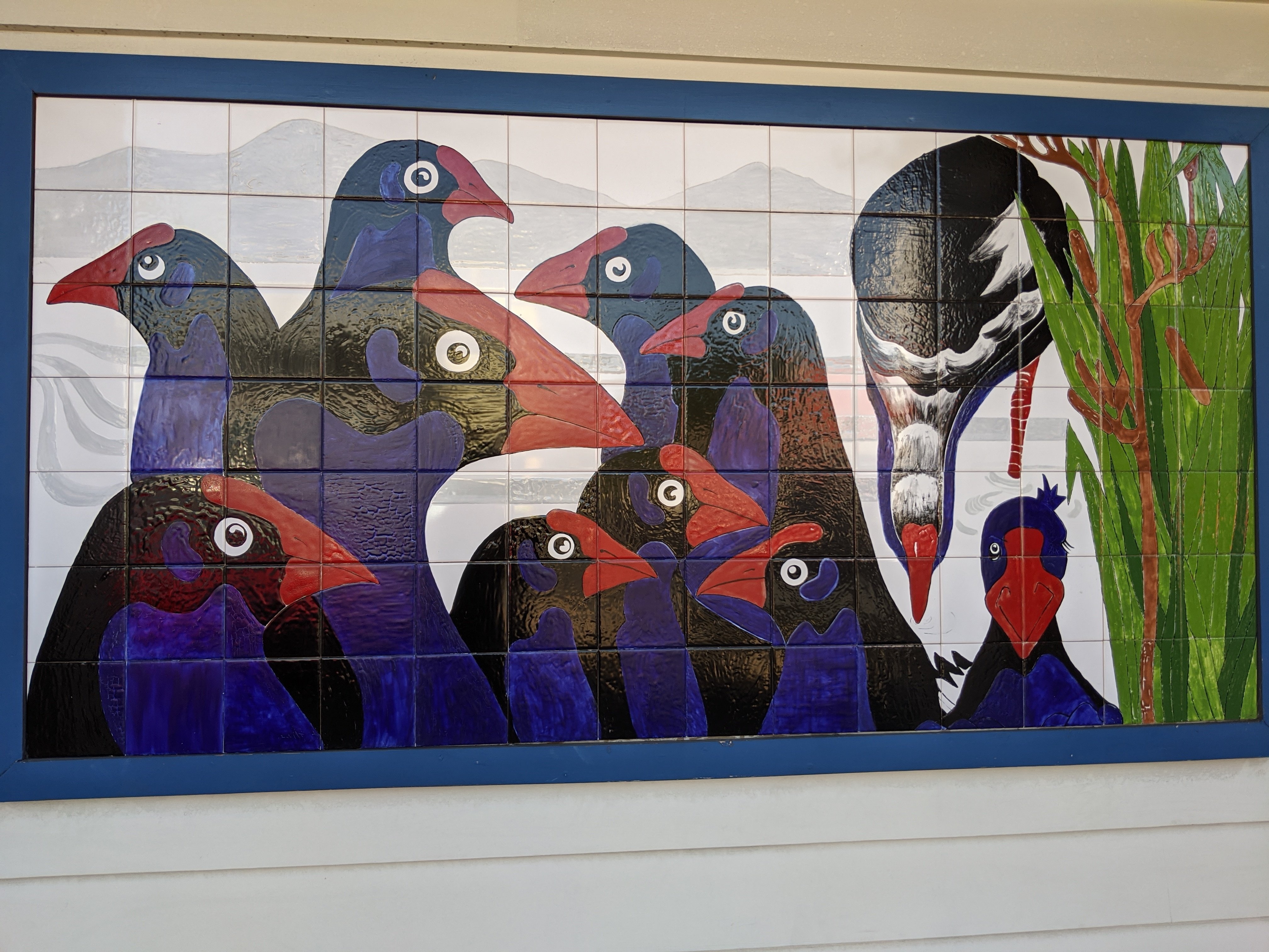
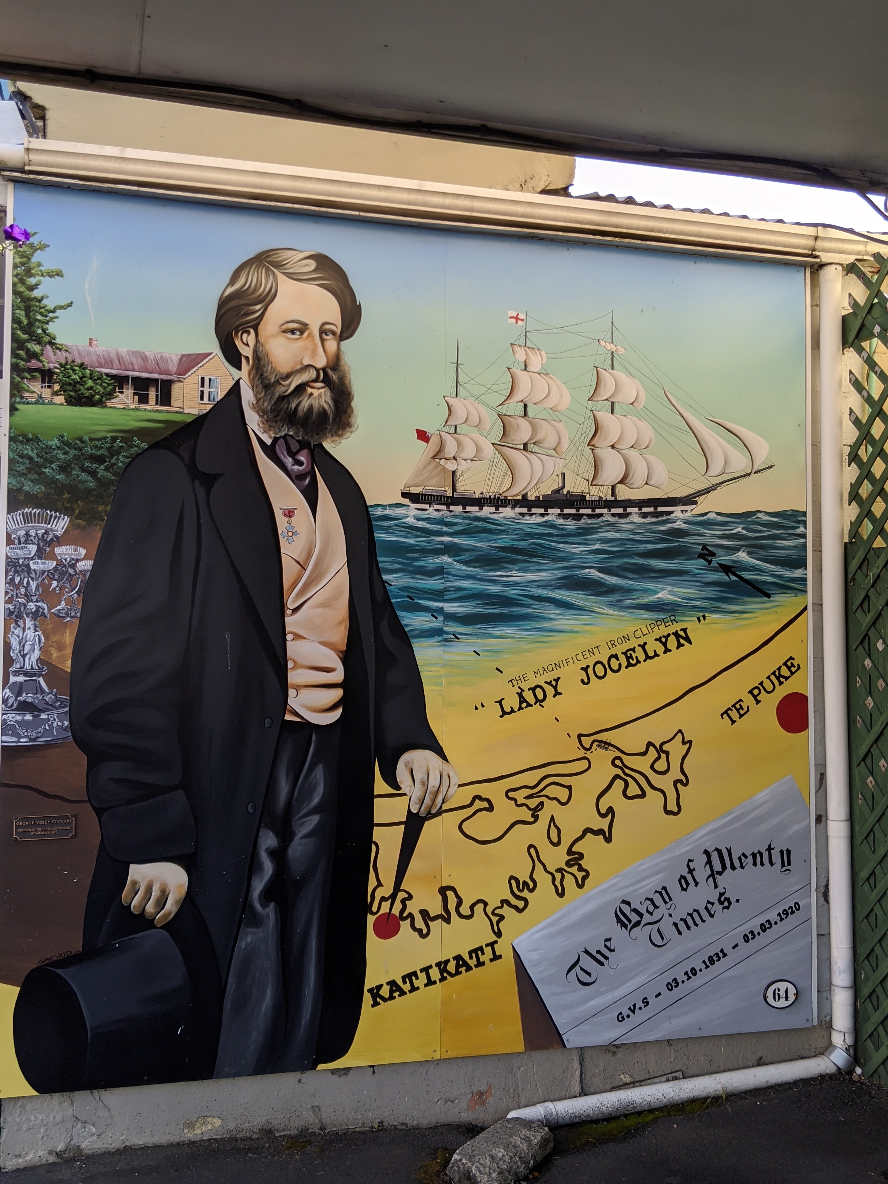
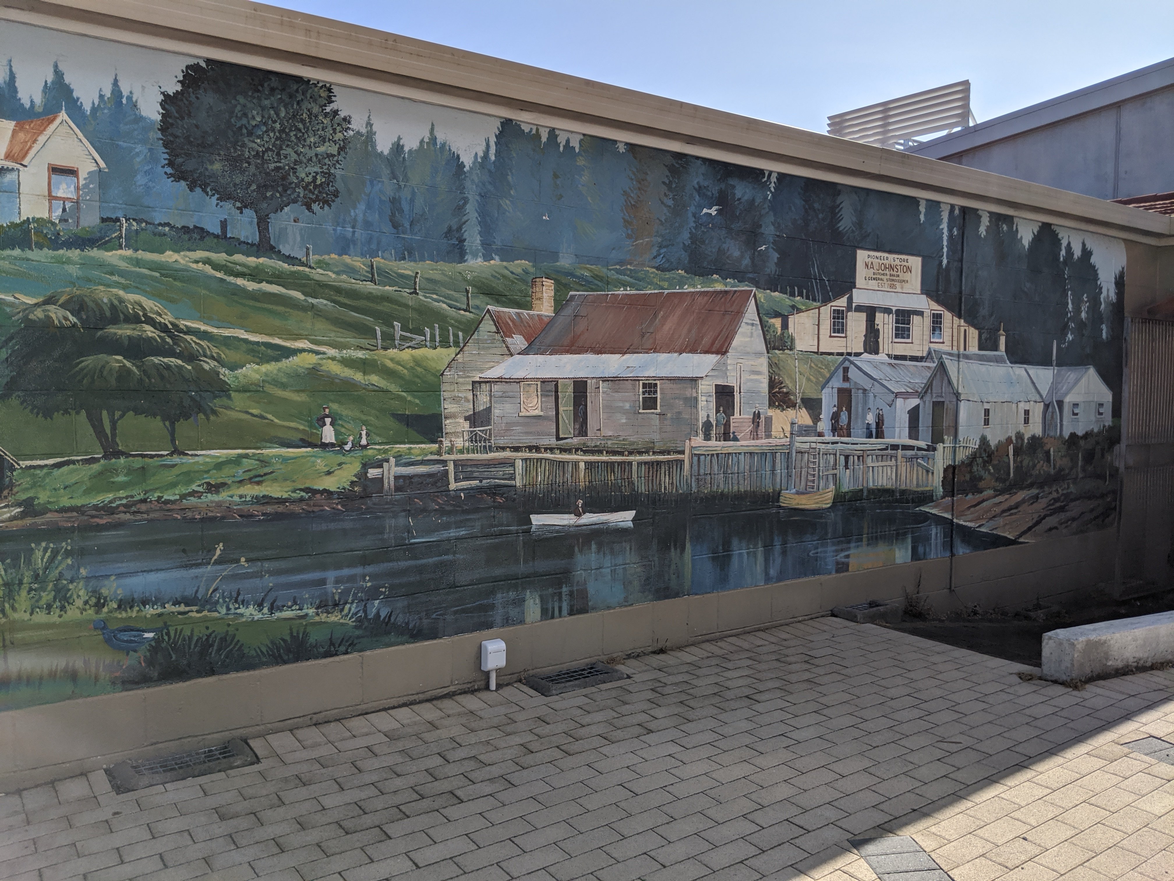
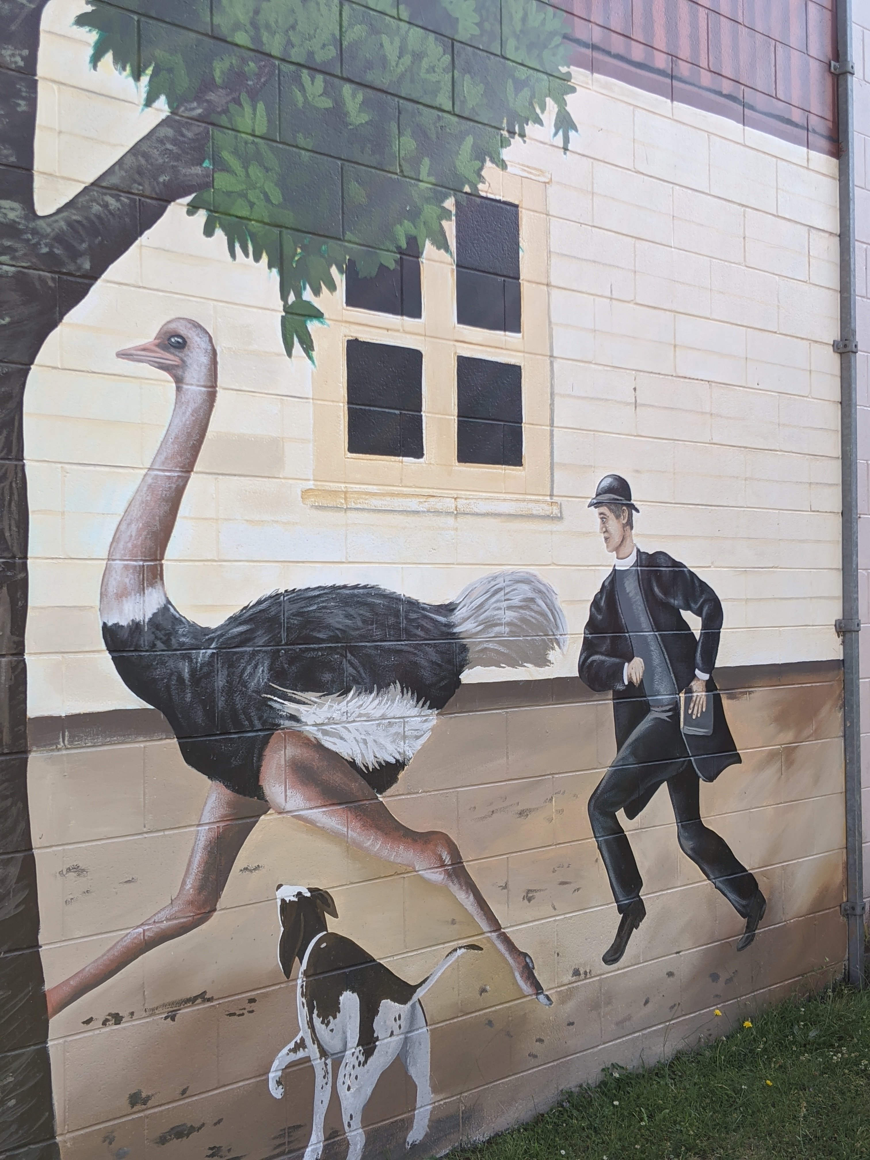
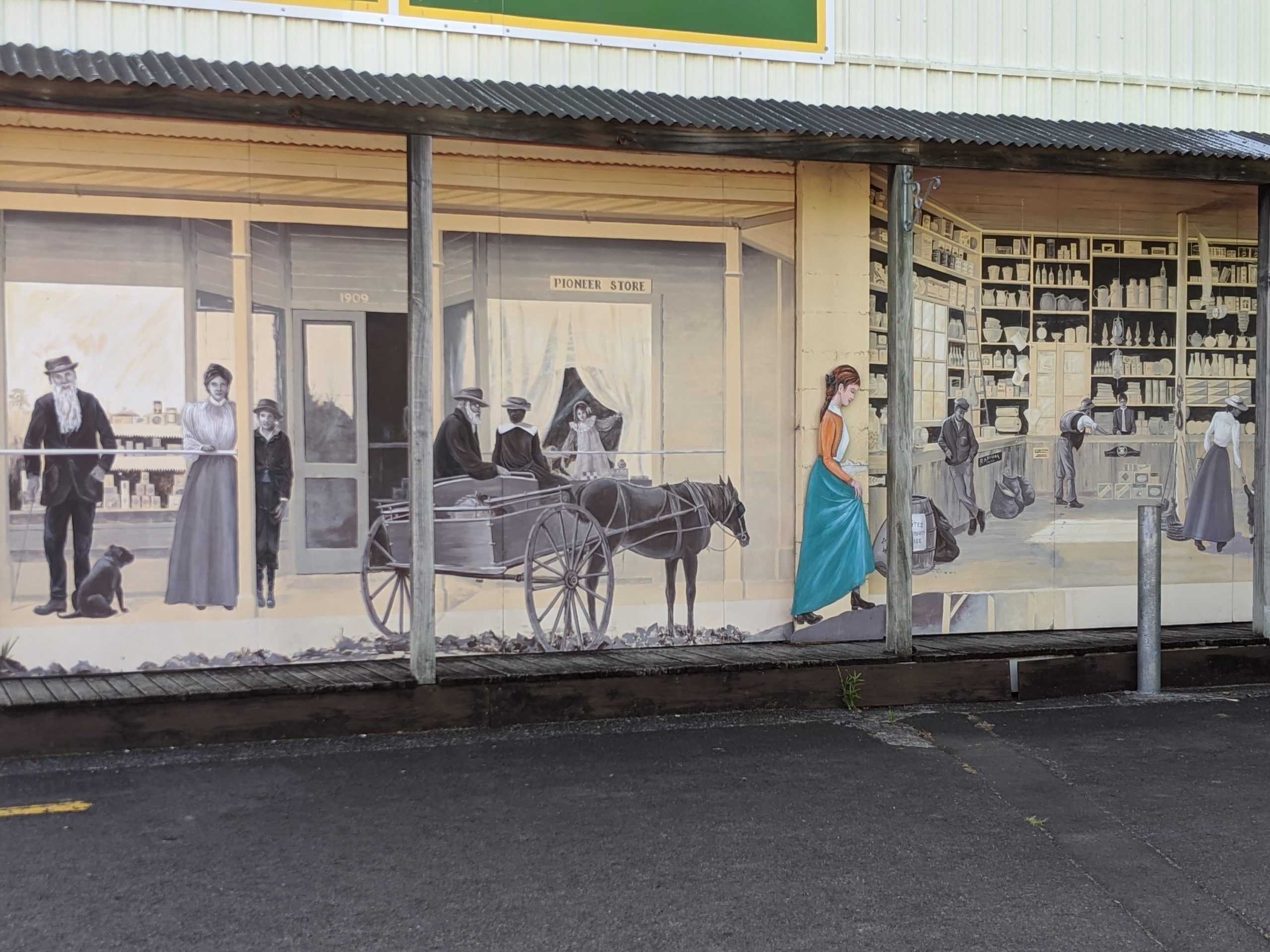
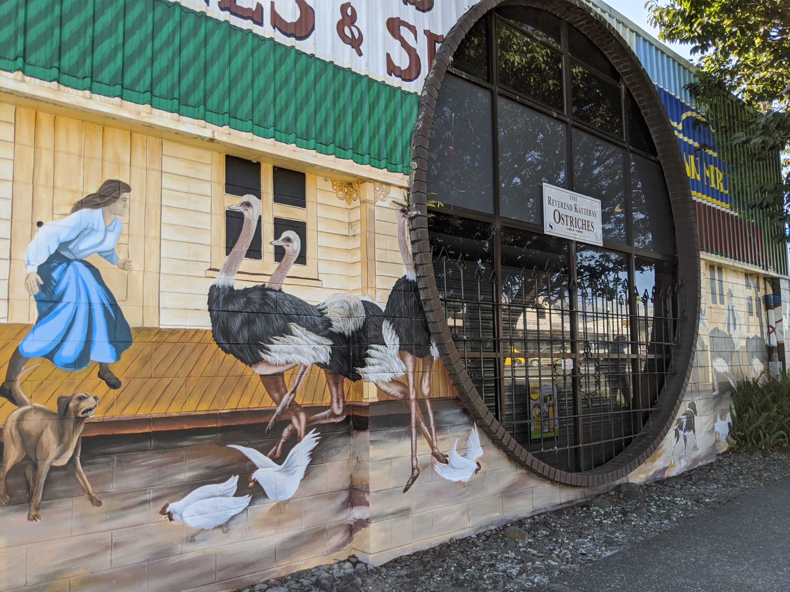
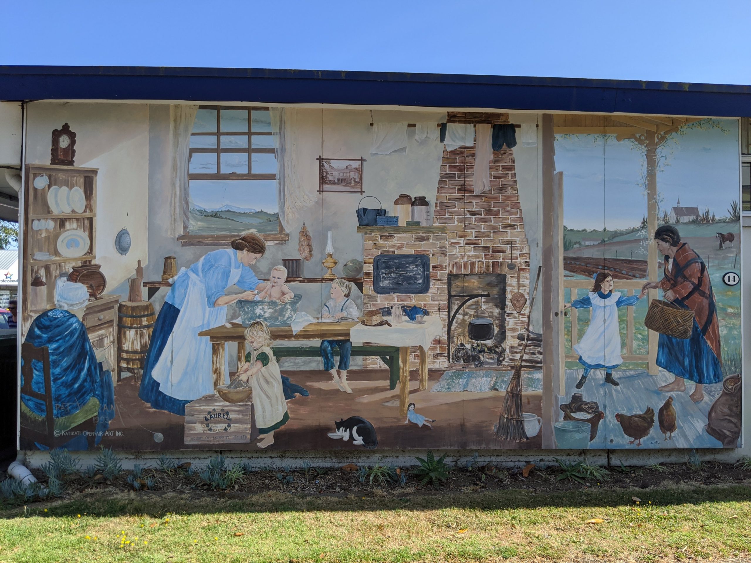
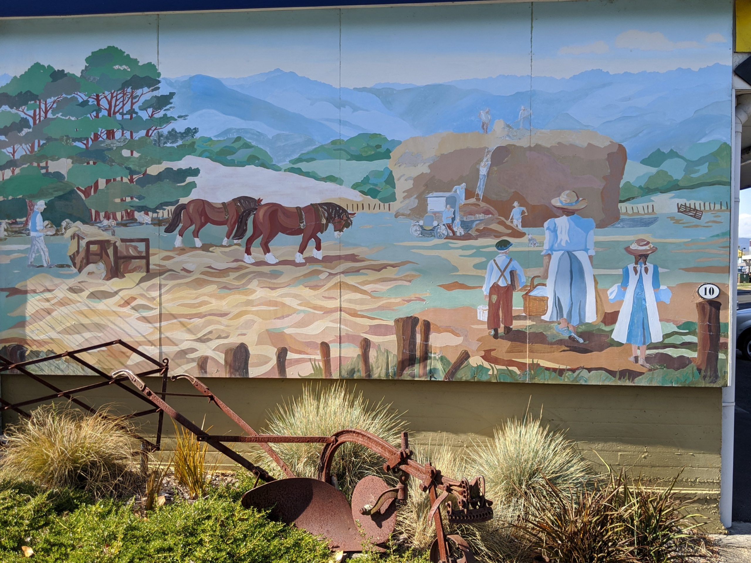
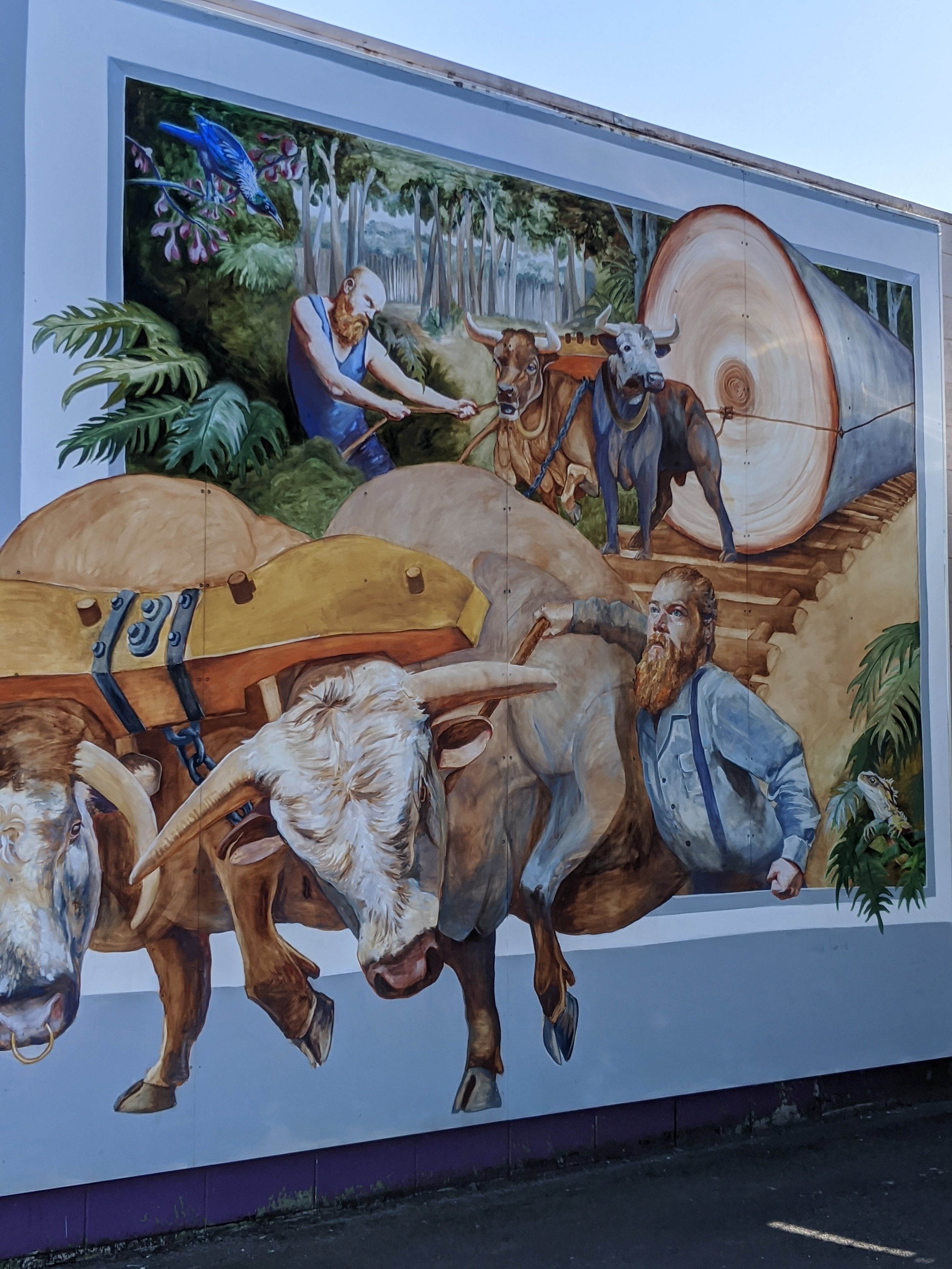
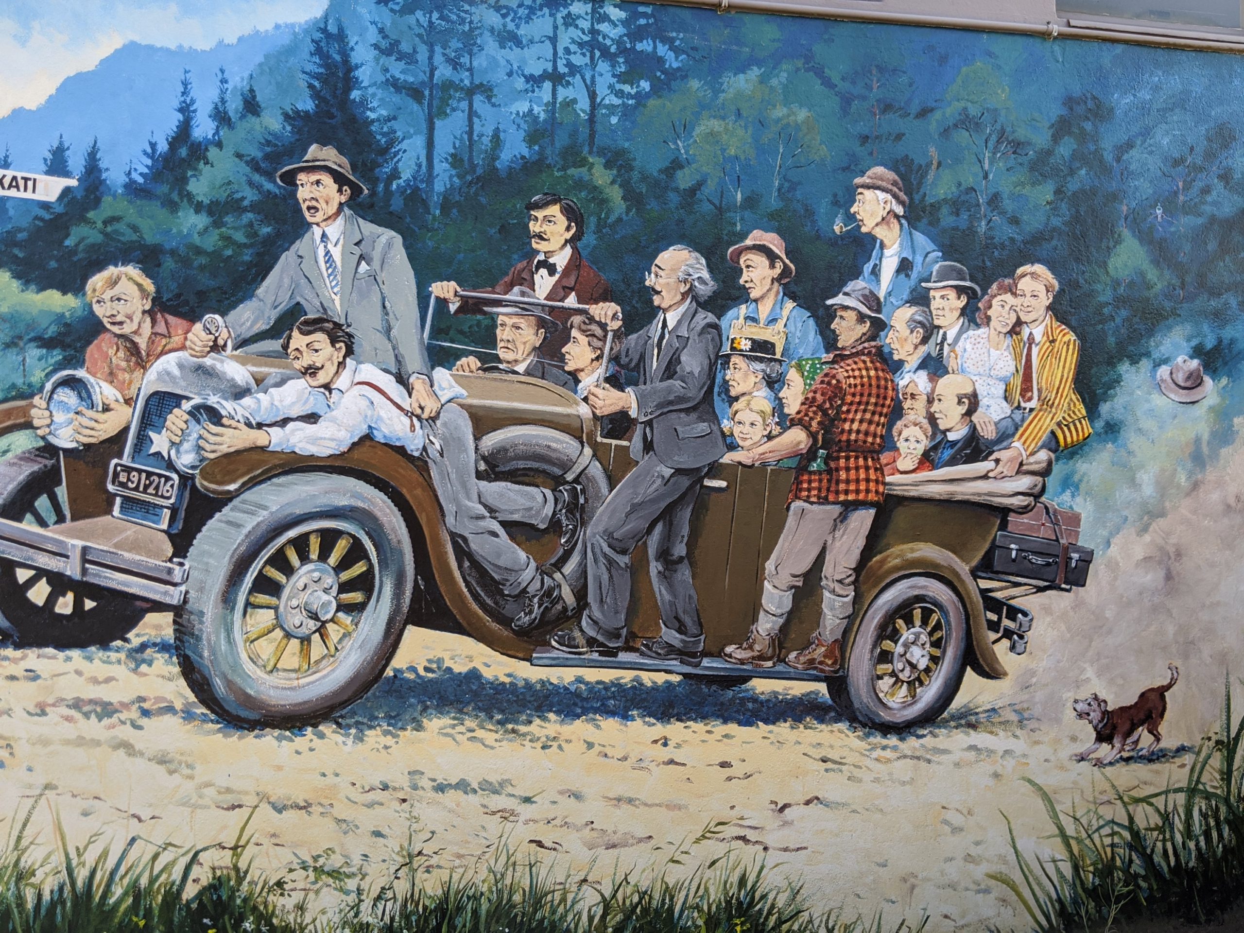
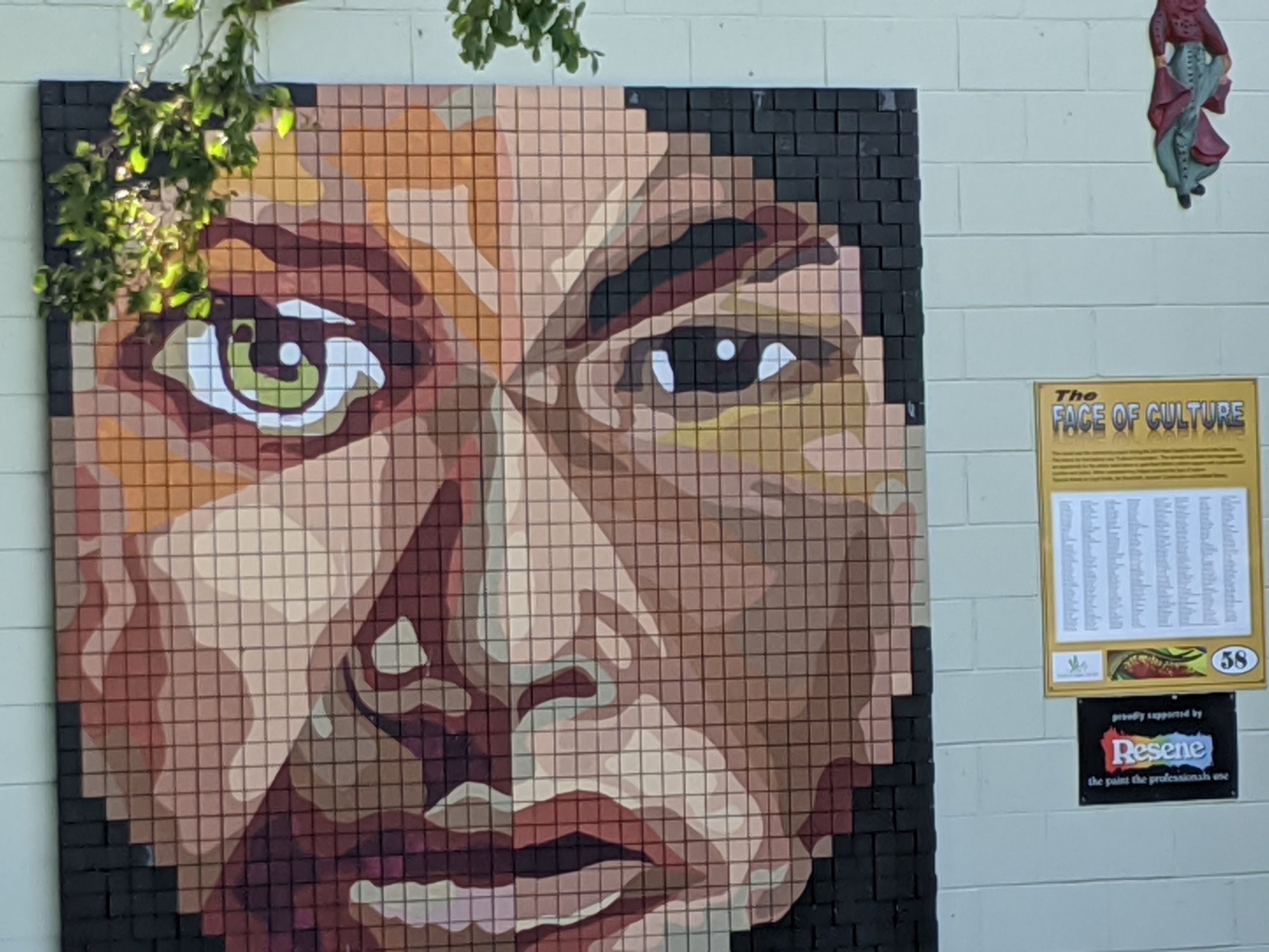
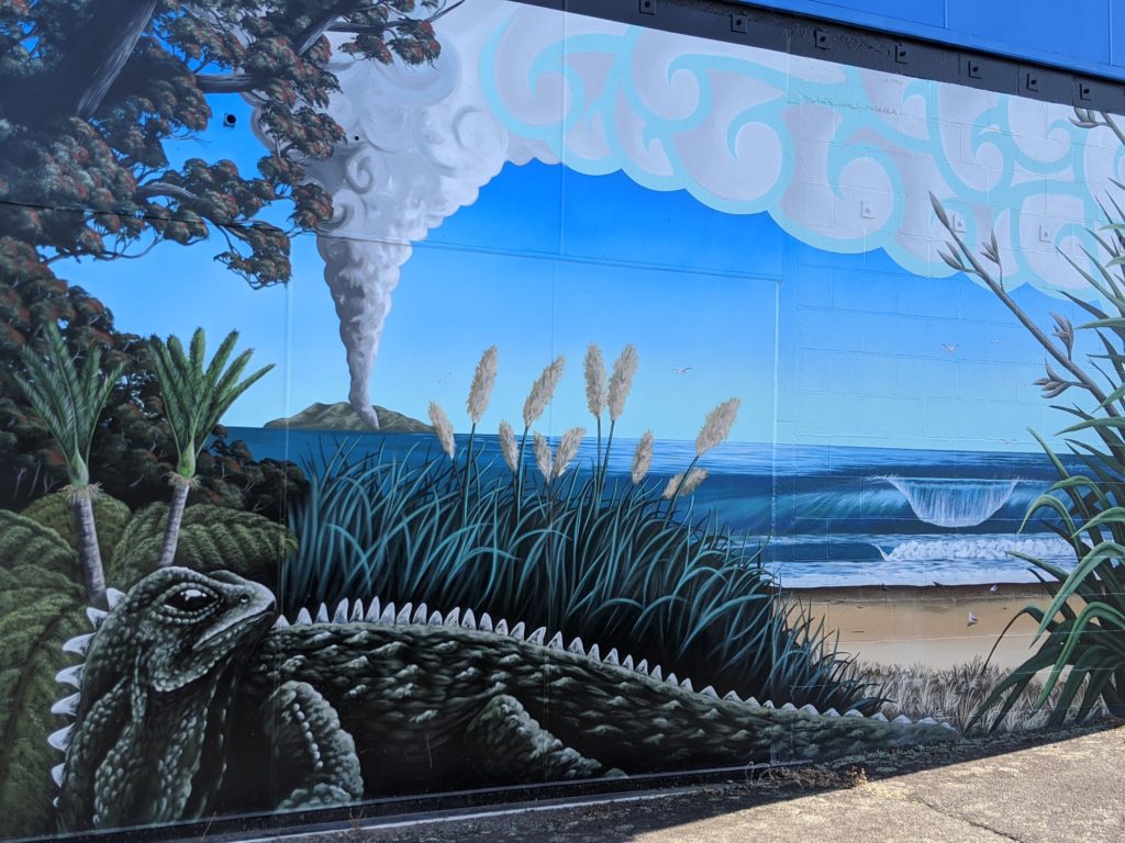
Katikati is a small town of 8000 that is new Zealand’s #1 small town. We saw a sign that it has mural art. It has graphic art on the buildings and worthy of a stop.
A statue on a bench.
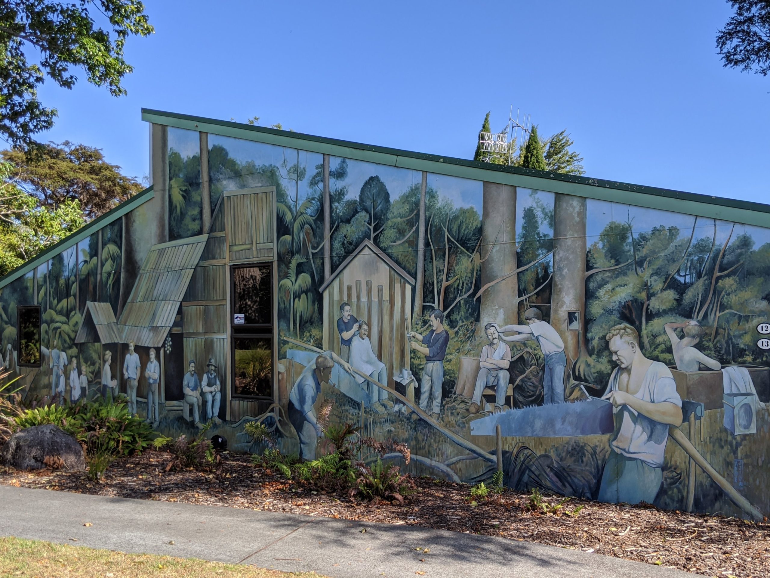
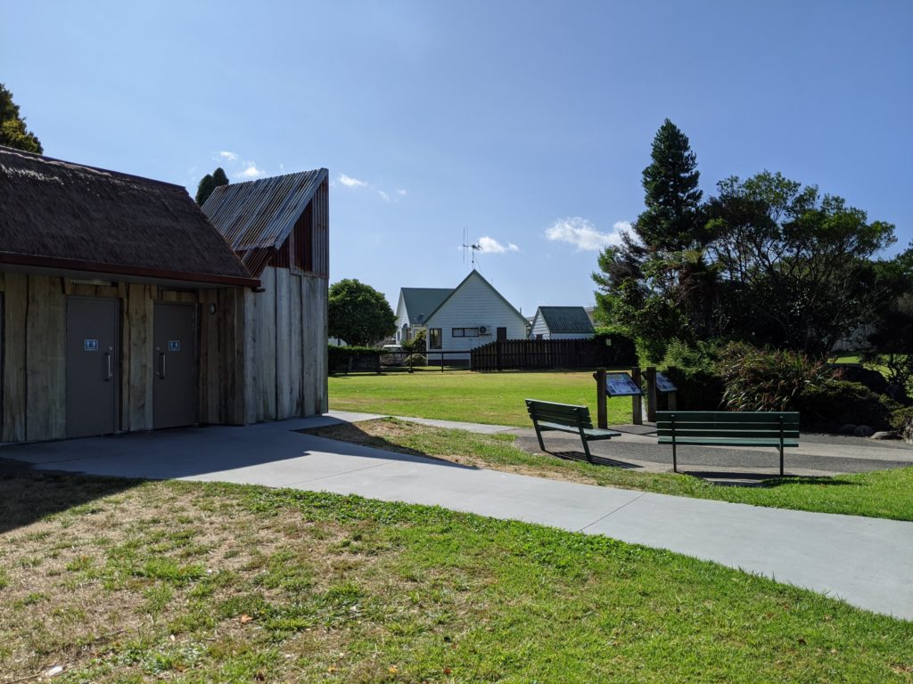
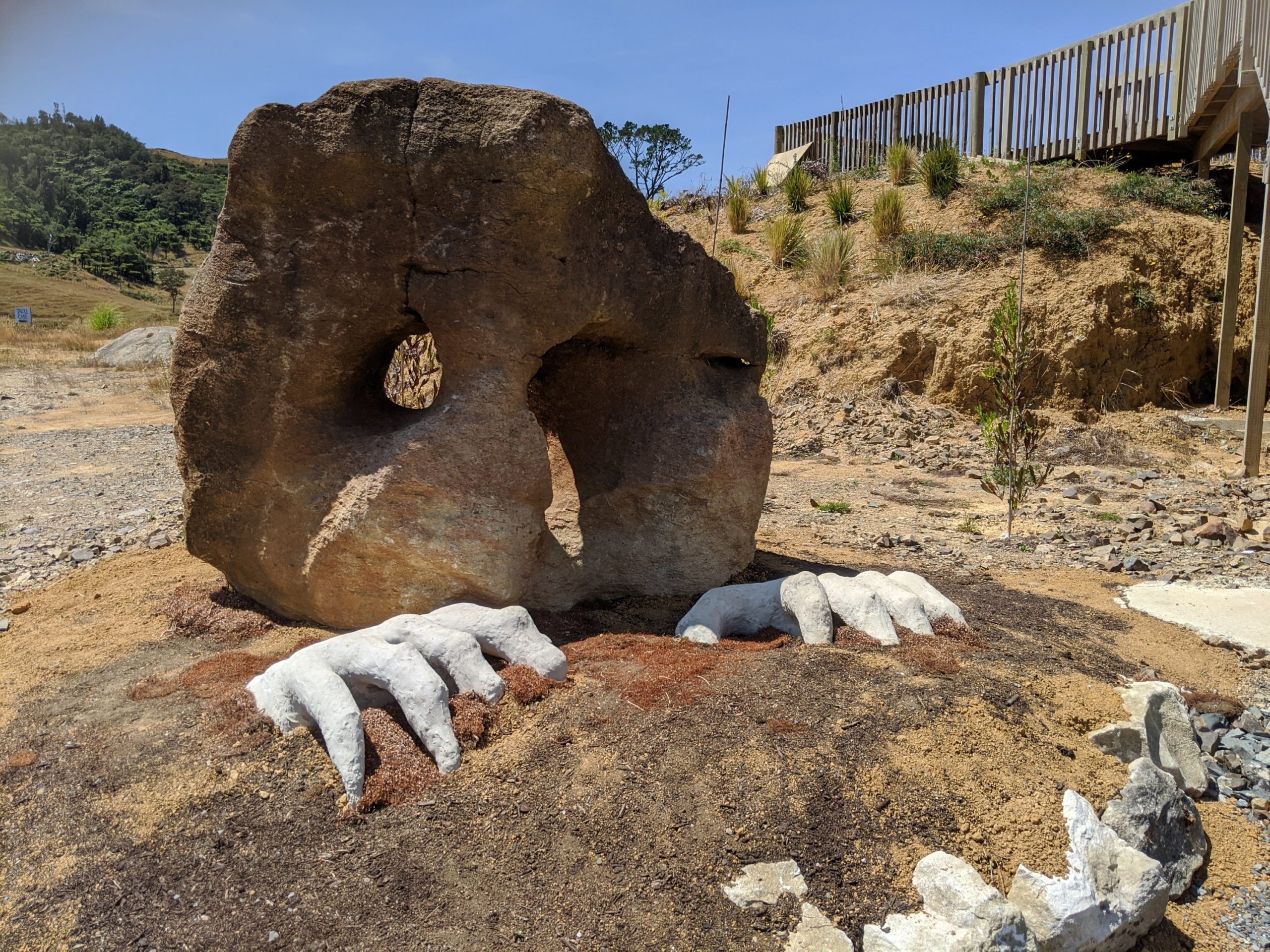
They built a restroom and little garden area to reproduce a Kauri bush shed and dam. This is one of the oldest bush settlements and they had photographs of original buildings and bush workers.
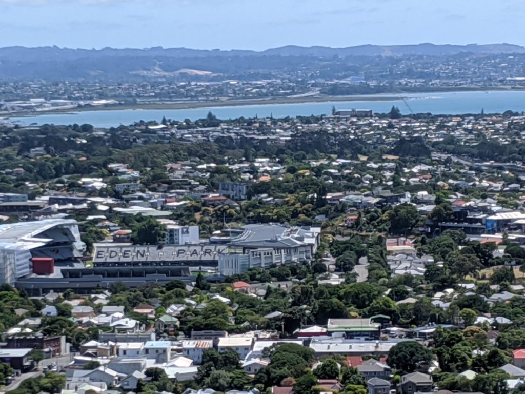
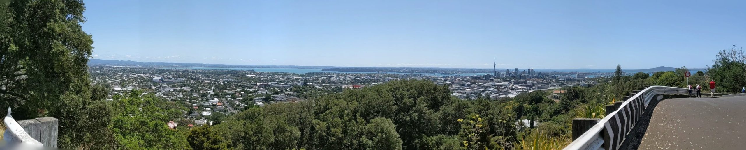
Back in Auckland we headed to Eden park. The Australian and Pacific tectonic plates meet in this area 200 km below the Sea. It’s activity has created many volcanoes and islands. Auckland has over 50 volcanoes.
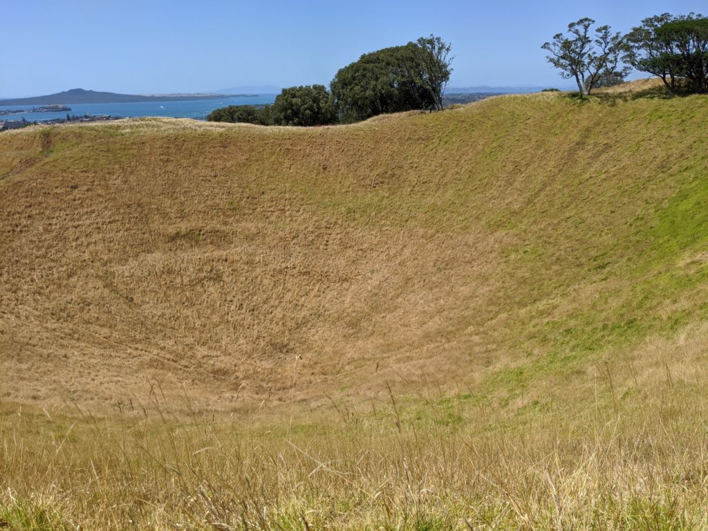
Mt. Eden is also known as Maungawhau and was formed by two simultaneous eruptions 28,000 years ago. Fire fountaining created what we saw as it spewed volcanic ash which collected around it creating a cone.
This depression is the crater.
1000 years ago, the Maori people arrived by canoe, Waka, from the Haiweke/Polynesian island they originated. Aotearoa which is New Zealand was formed.
Over the years, settlers had wars and took over indigenous land. After some time the 14 lands (maunga) was restored to the 13 Maori tribes known as iwi. It is collective ownership that allows for shared responsibility and unity. A trust was created and an authority to oversee it.
This is why New Zealand is one of the few or only places that embraces and protects indigenous culture.
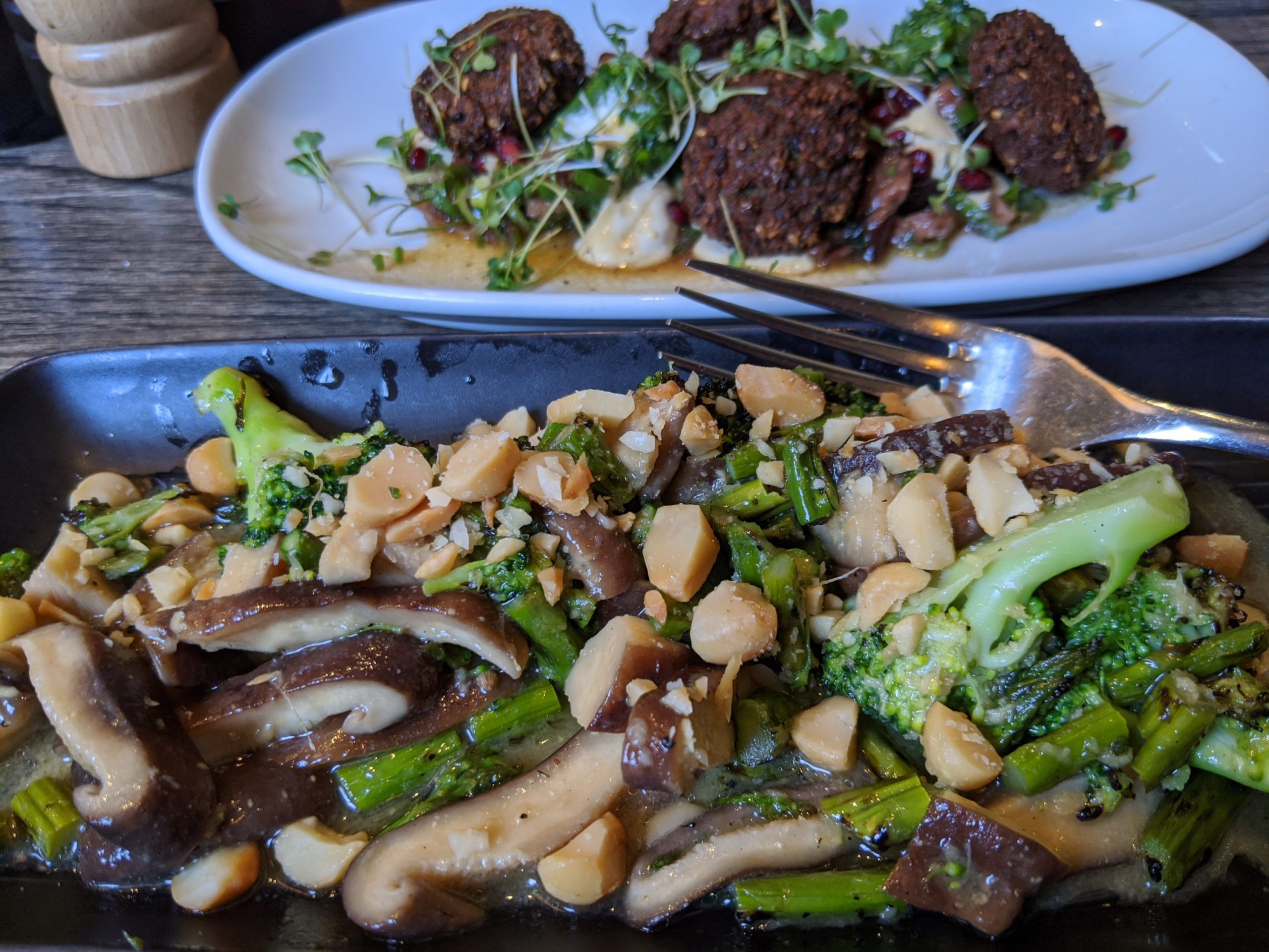
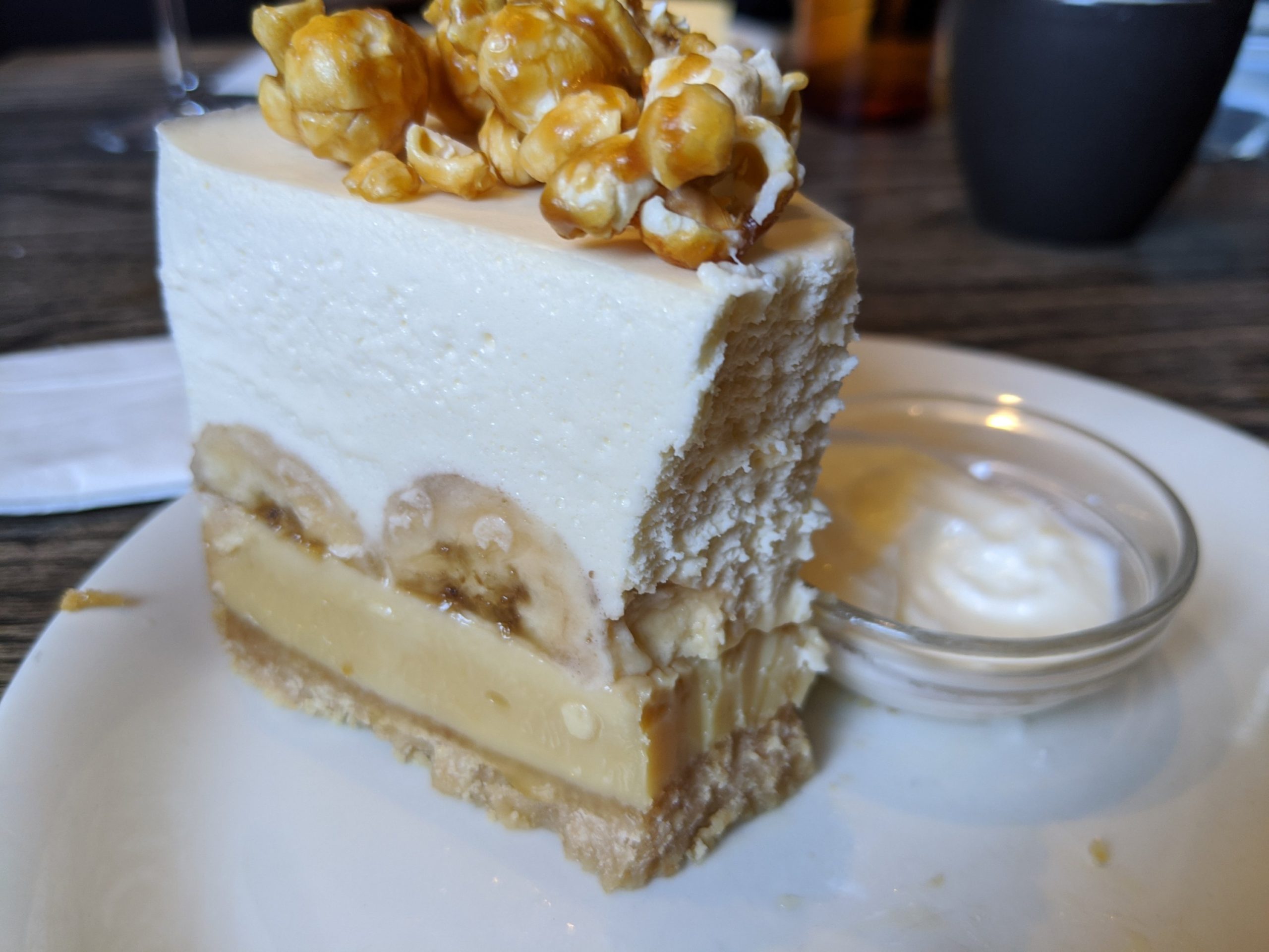
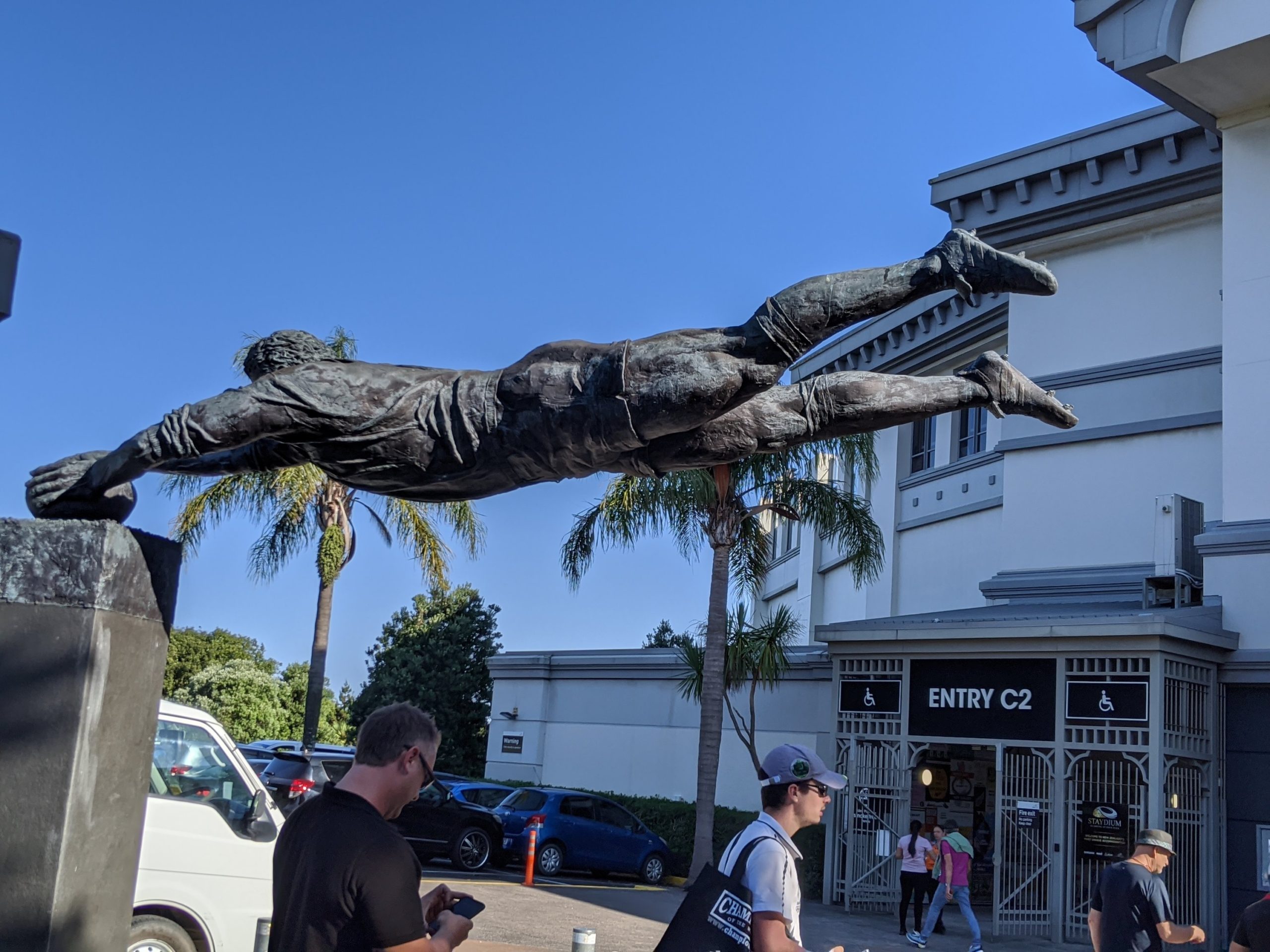
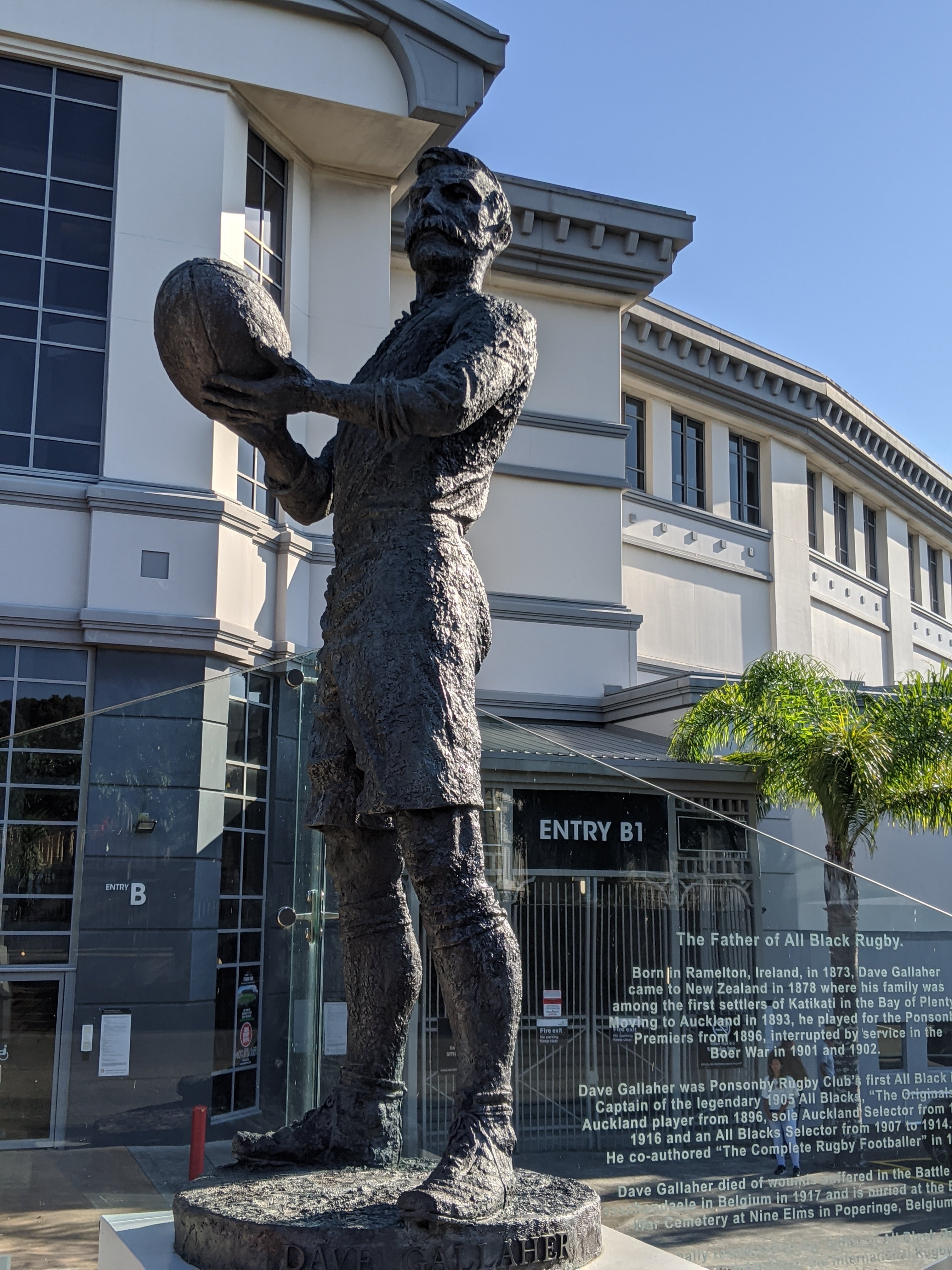
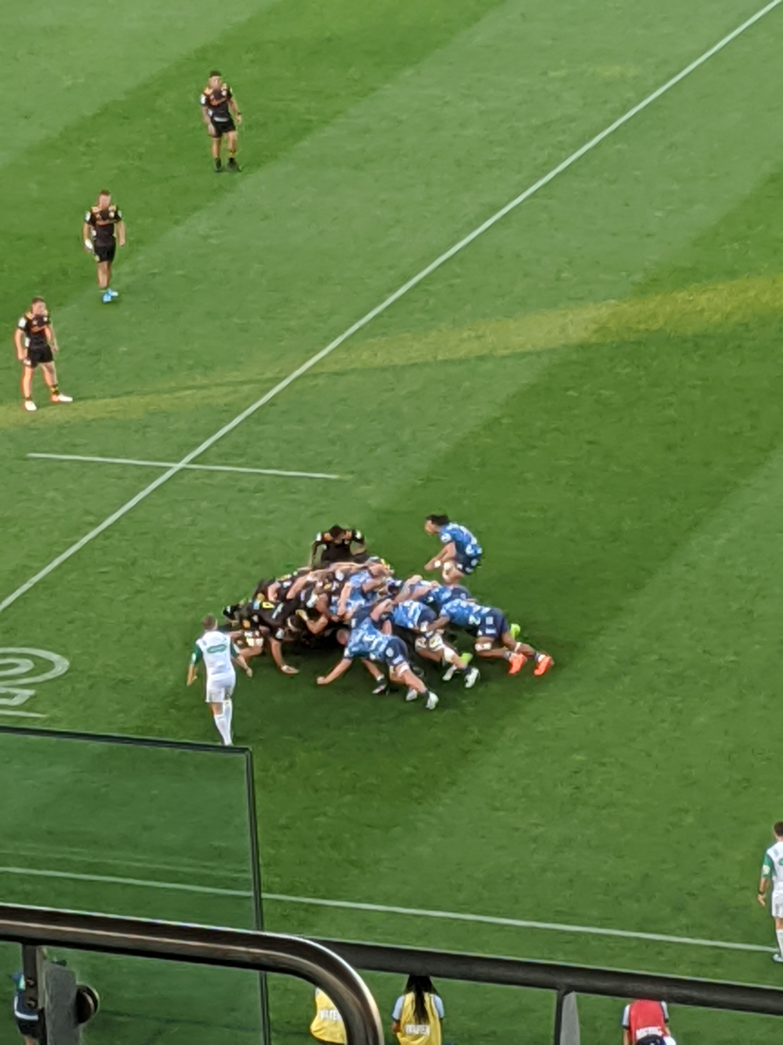
Eden Park is where we will be going to the rugby game tonight. It is the national stadium.View from the top.Walking around mount Eden.We ate here.Charred broccoli salad and falafel with labne and eggplant.Banoffee pie.
After, we walked to the stadium. I’ve never been to a rugby match before.
The Blues lost. The Chiefs are from Tauranga where we stayed the last few days.
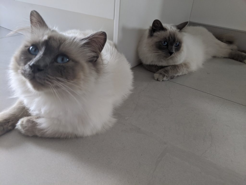
The last days we spent at Tuataura with friends of Caroline’s. They have a beautiful home and family. They also have 2 gorgeous cats. It was nice to talk to other fellow educators.
Leif and Ingebora
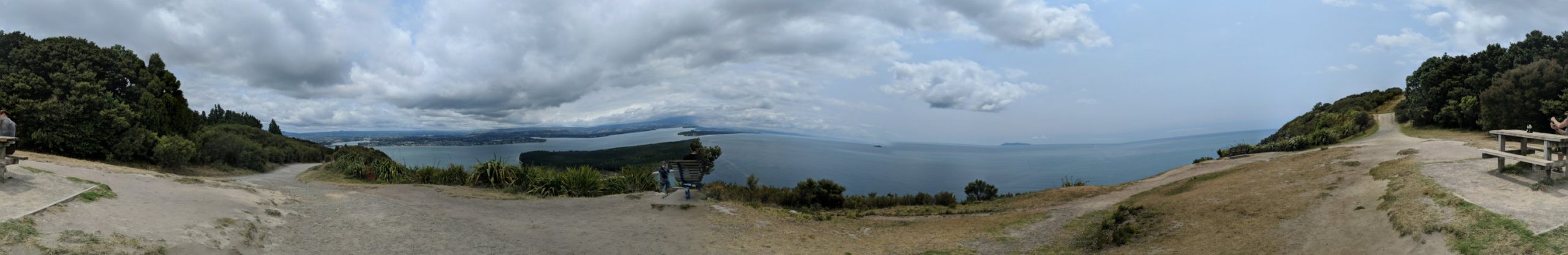
We went to climb the nearest mountain next to the beach. An easy climb compared to Tongariro.
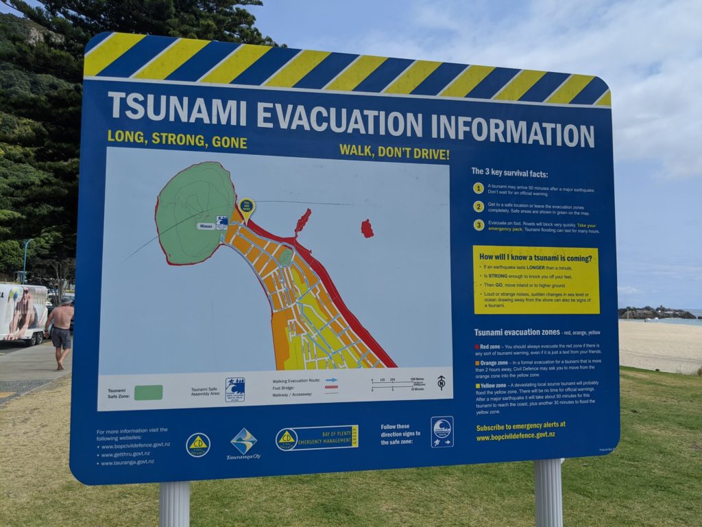
Yes this area is in the Ring of Fire and earthquakes, eruptions, and tsunamis happen.
Afterwards we saw a mineral pool place and went in. They had two massage appointments available right away. My shoulders needed a massage! We followed up with a soak in the mineral pool and it was great. Bath temperature water is the best! Afterwards was spent on the beach.
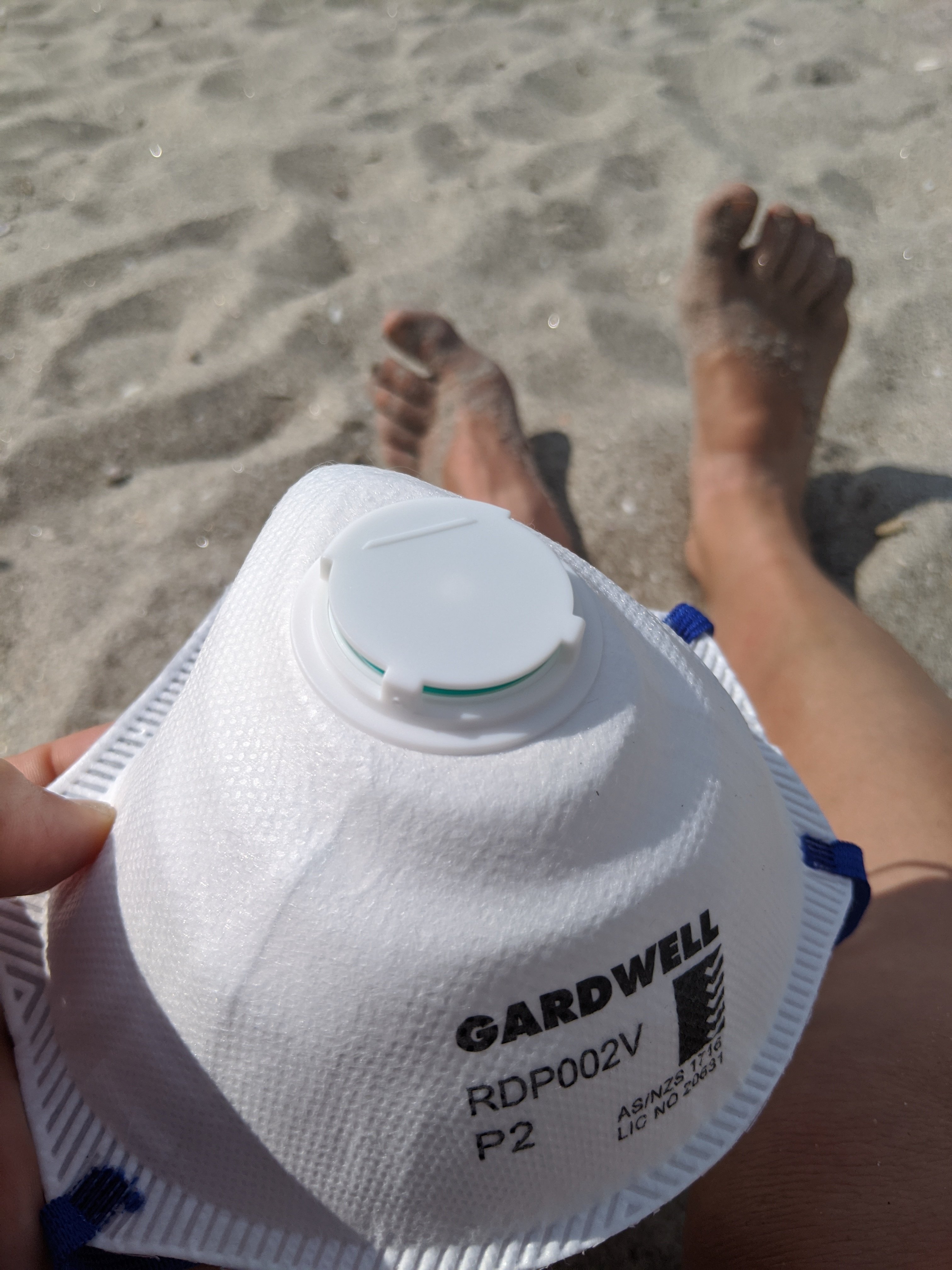
The coronavirus had hit China and other areas. We are required to wear masks in public places back in China. I will need this for the airplane.
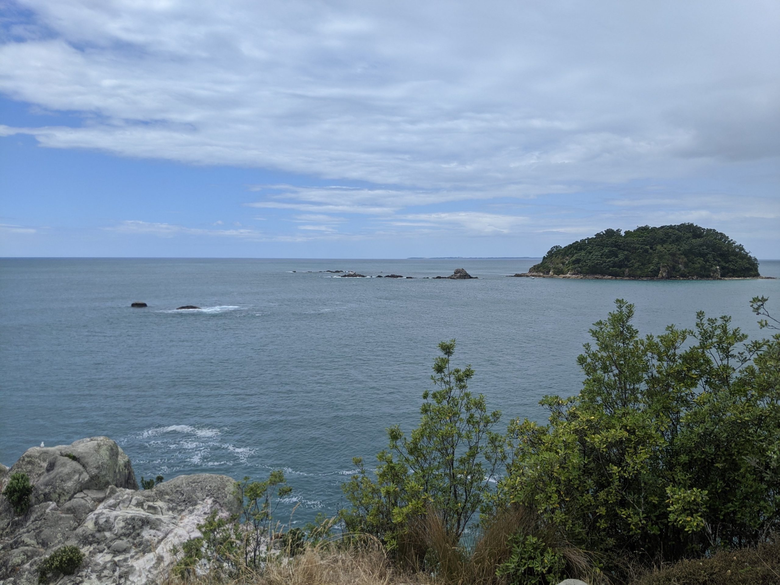
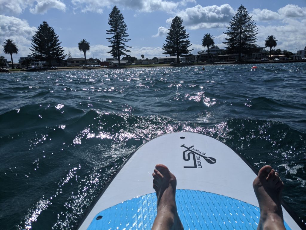
We came back to the same area the next day. This time I rented a paddle board. It was pretty rough waves and was quite the workout.
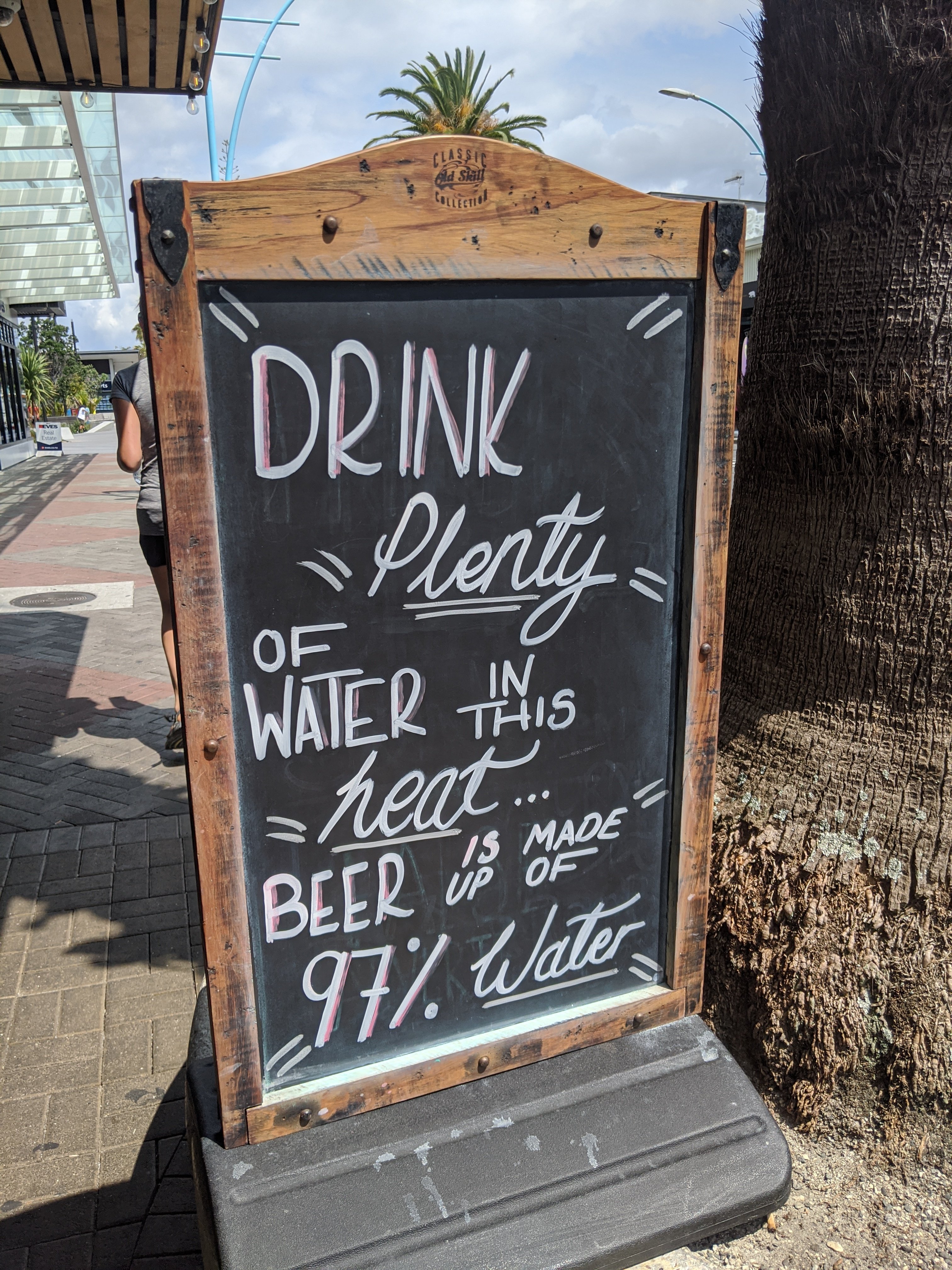
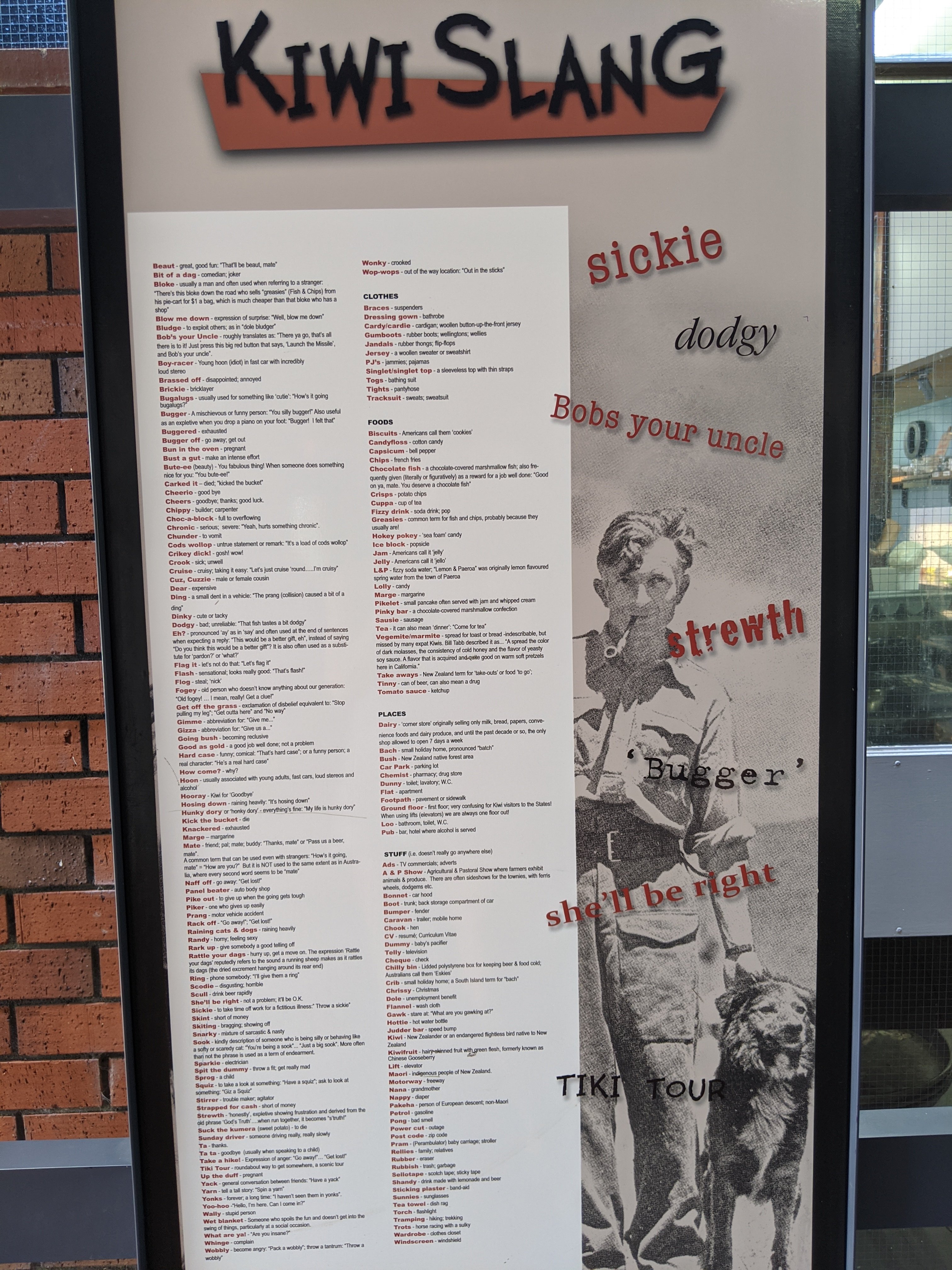
Walking around I saw some pretty cool signs and items. We shopped and looked around.
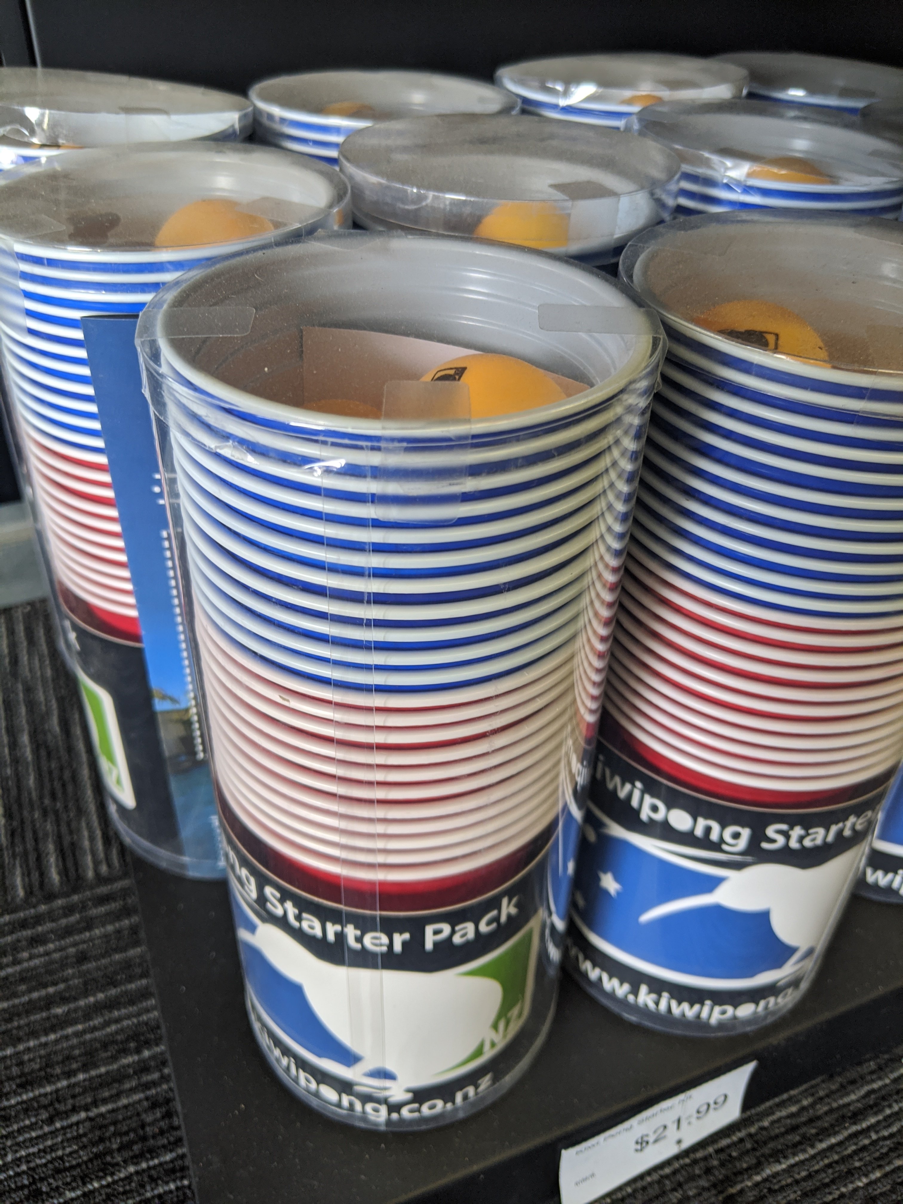
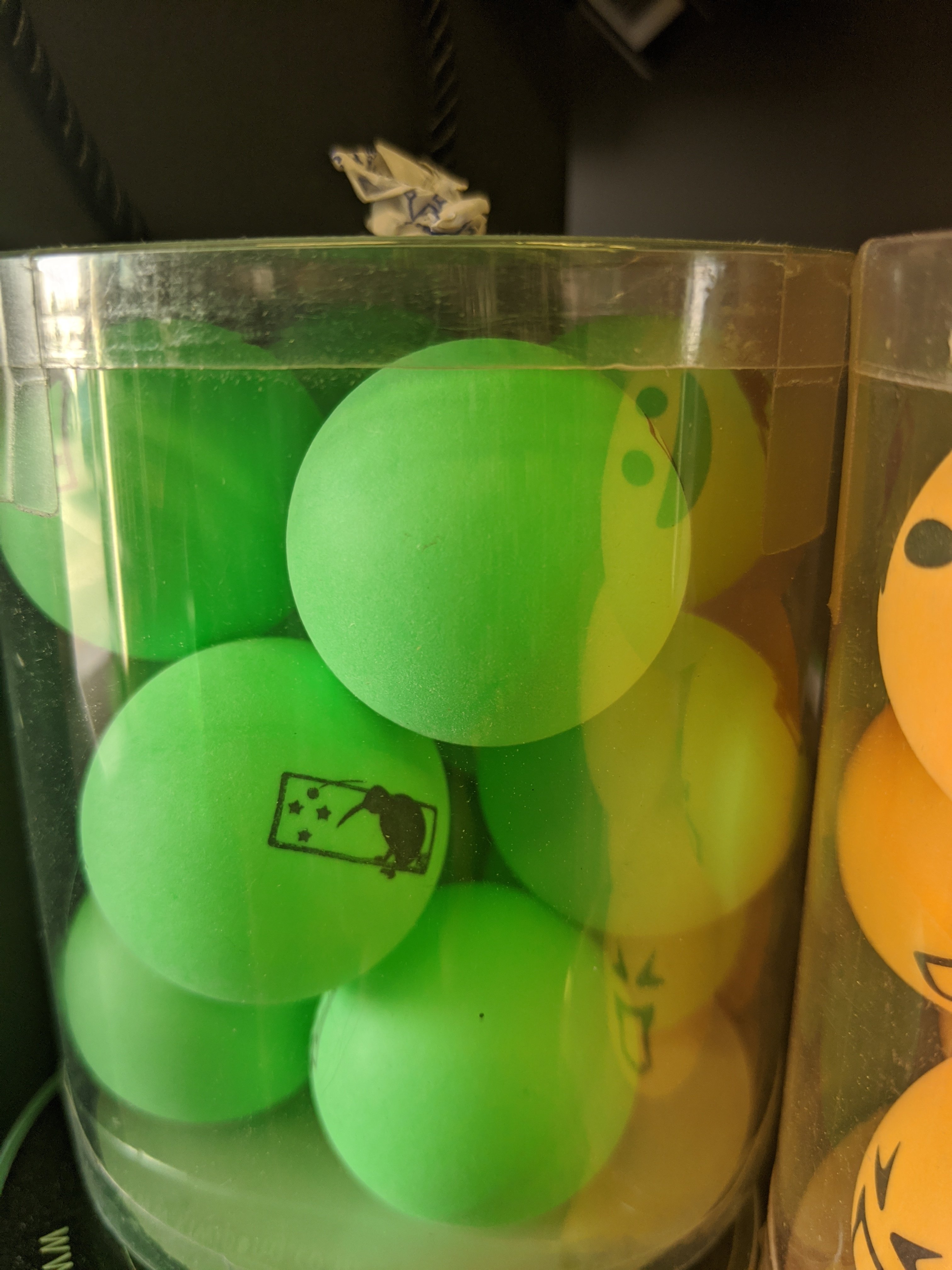
Kiwi pong starter pack.Ping pong balls with kiwis on them!
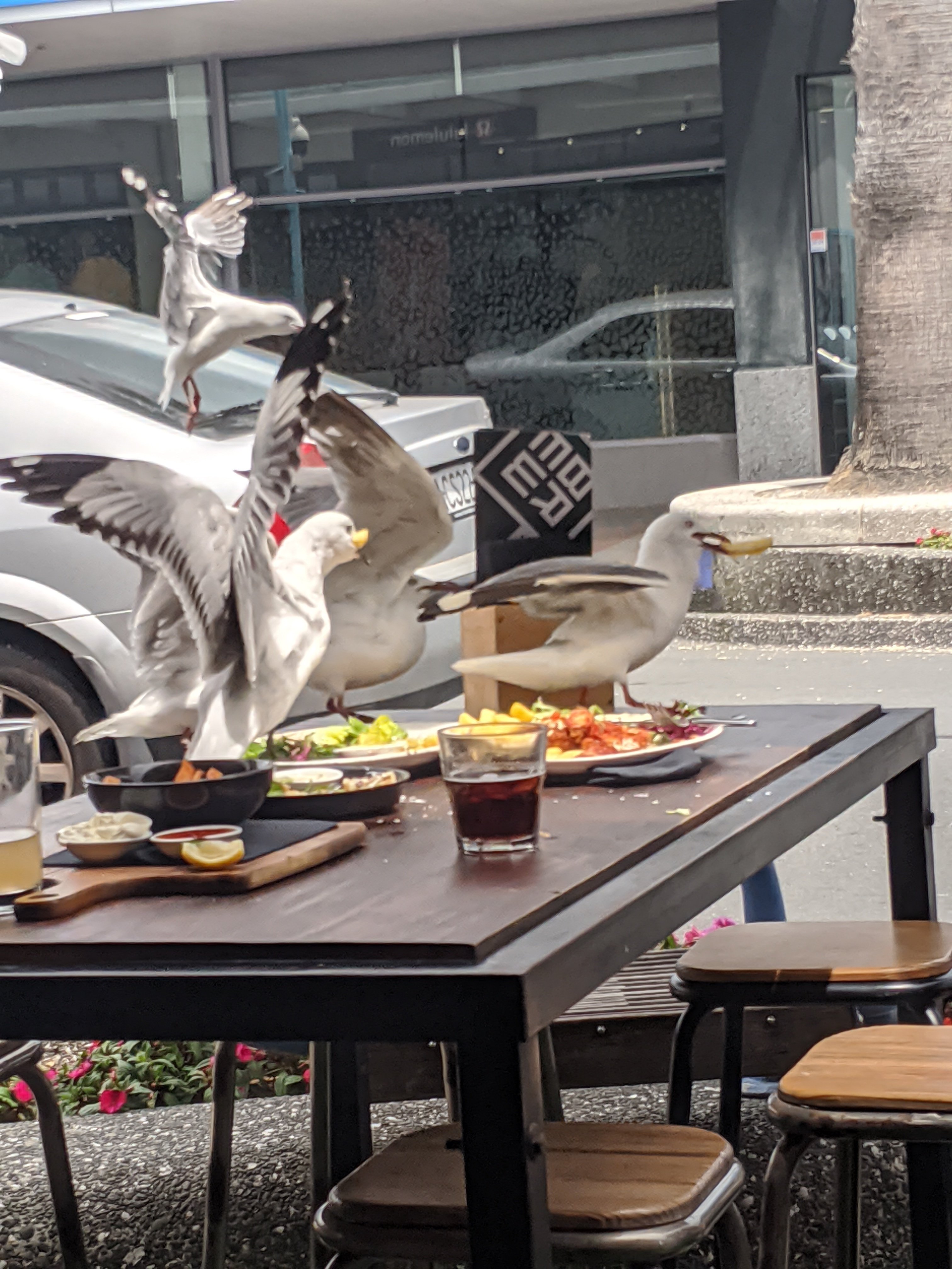
Seagulls fighting over food left from patrons outside.
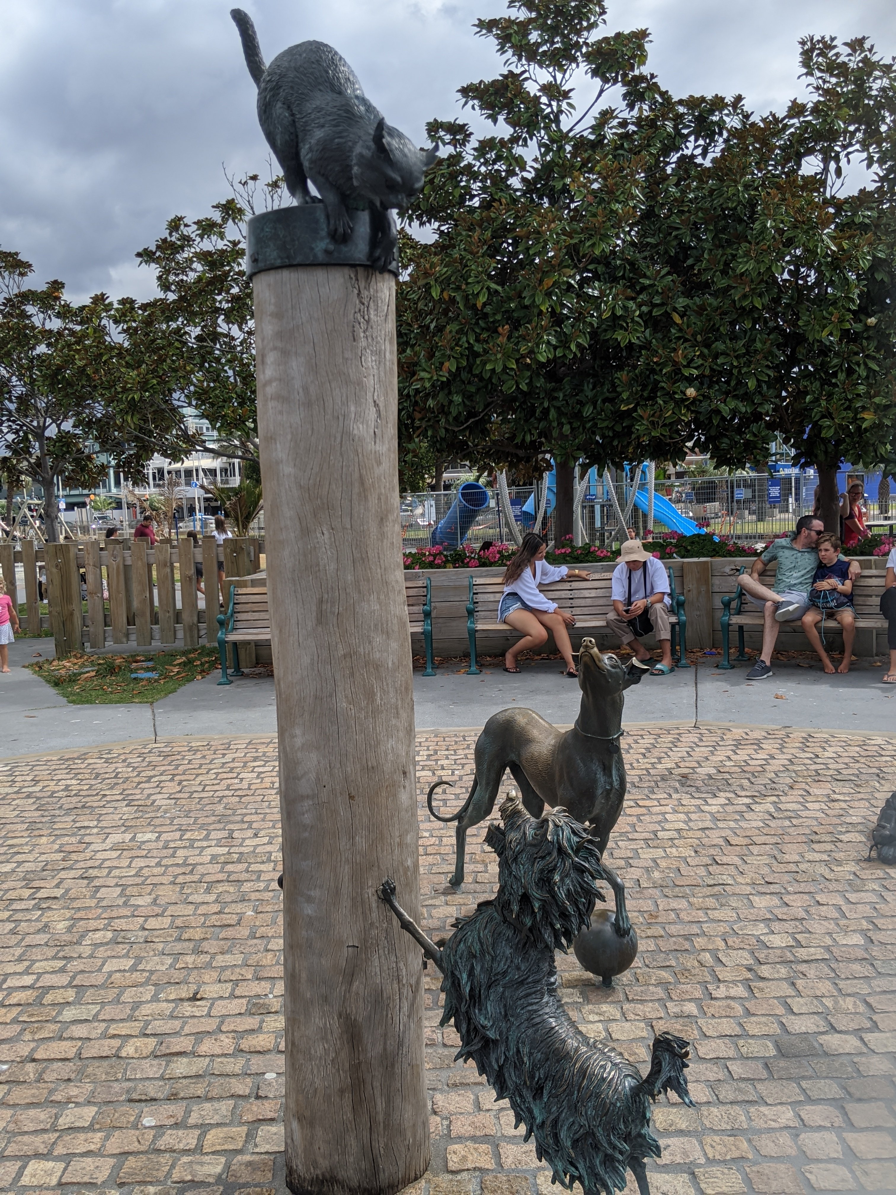
The Hairy Maclary and friends sculpture at the waterfront. This is from a children’s book. Hairy Maclary is the dog jumping on the post.
Next we travel back to Auckland. Plans are to watch a rugby game featuring The Blues vs. Chiefs. It is the opening game of the season.
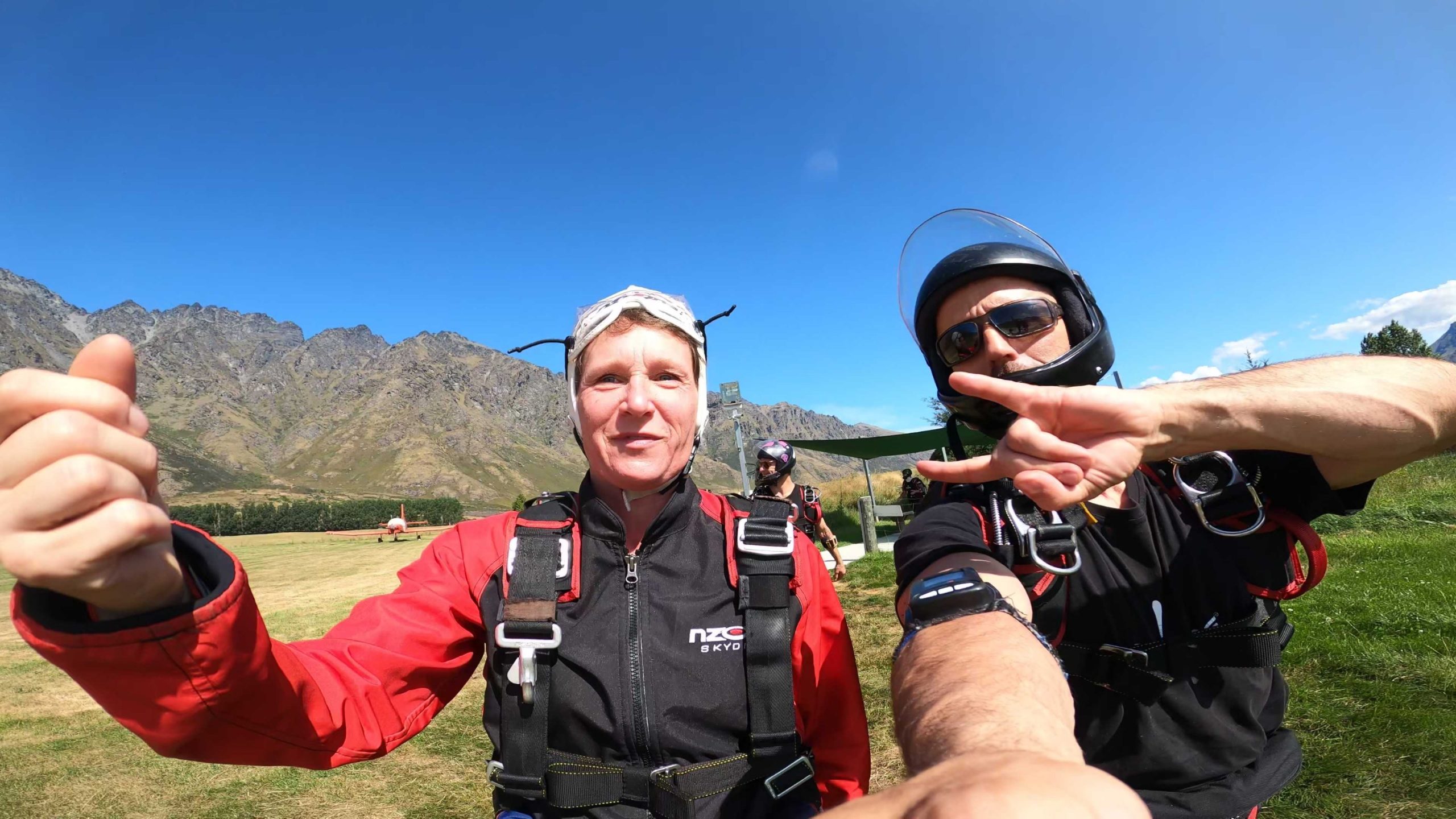
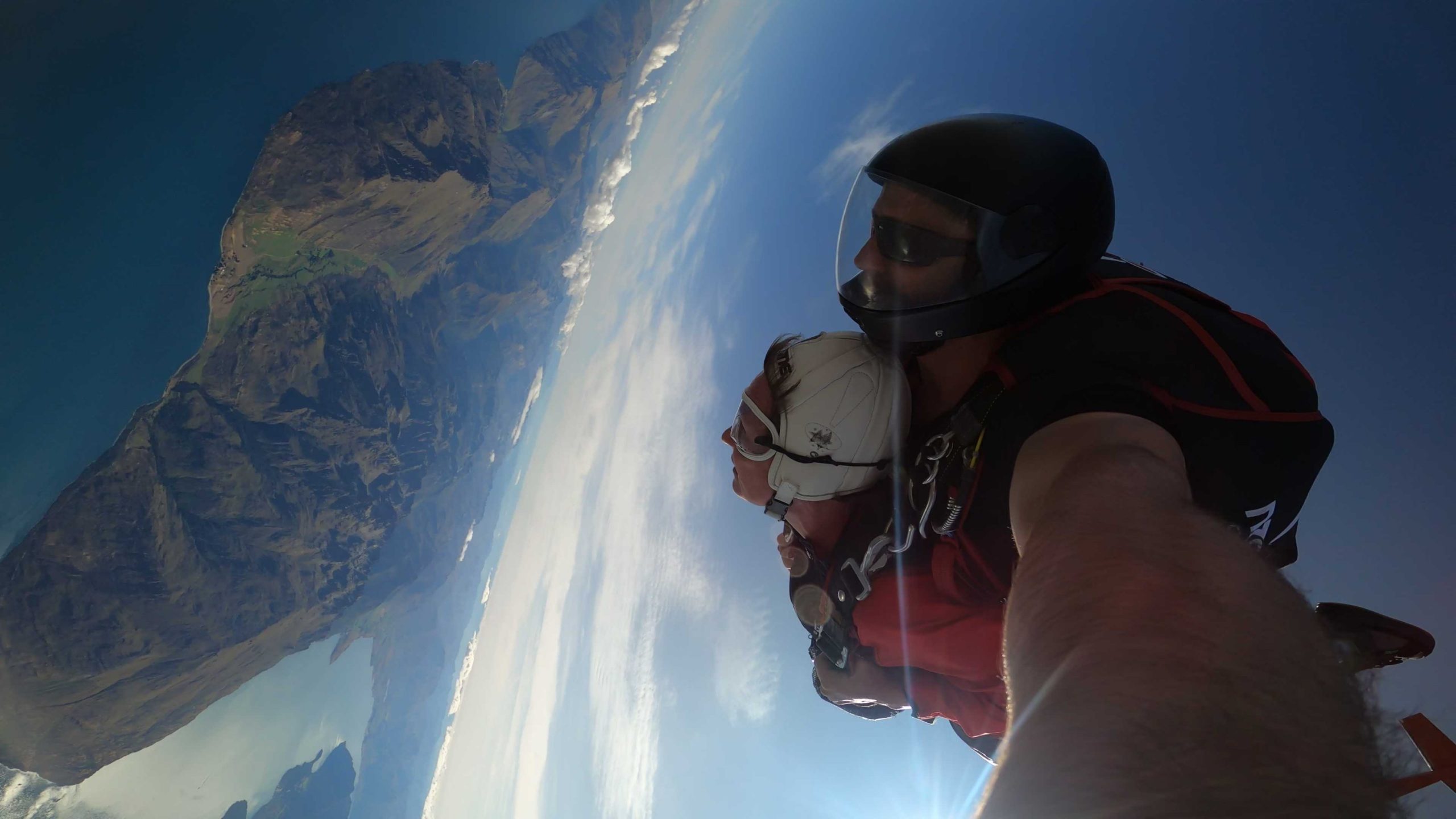
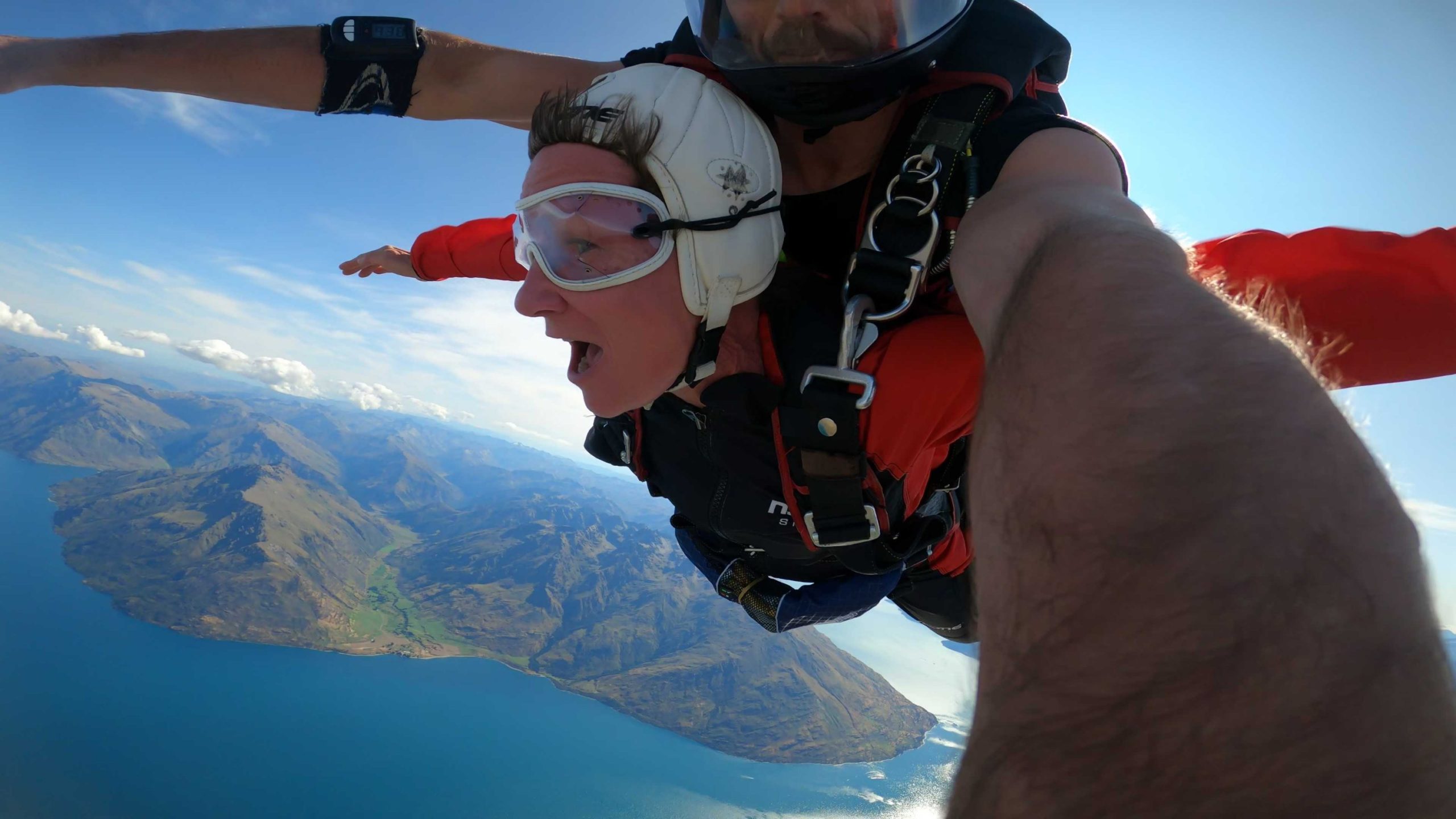
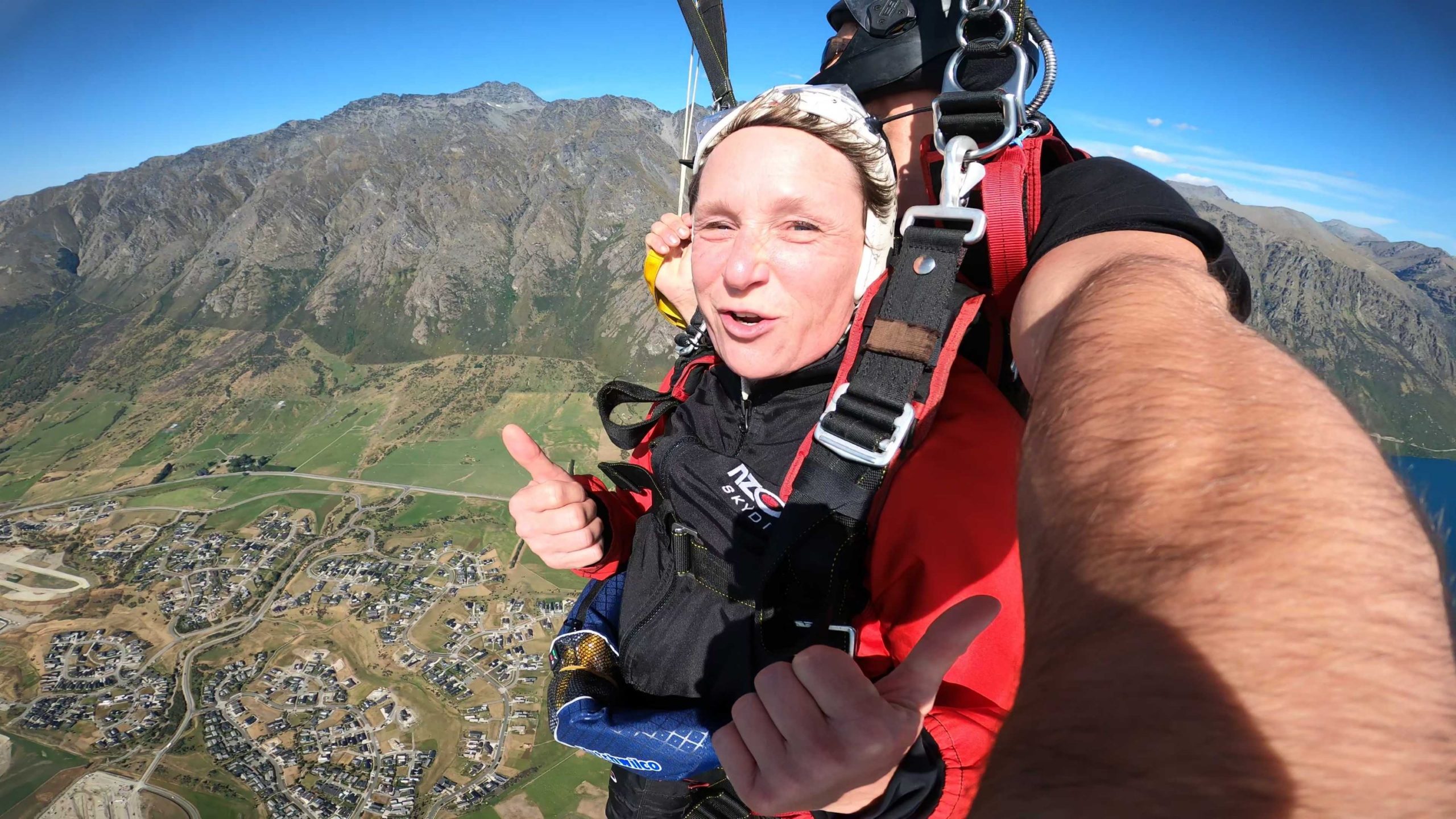
I was afraid of the spring in the edge of the plane waiting to jump out. It was the easiest part. So was the tumbling in the air for a few seconds. What was difficult was the force on your face and body as you free fall. It was a little more difficult to breath but not too bad. Before you knew it the parachute was opened and you were floating. Of course, Will my transfer buddy loved to do done on the air. It turned my stomach a bit, but I survived.
It was awesome and New Zealand does not disappoint. This place is awesome and if you sell adventure it is here!
Note: there are a lot of pictures in this post. How could I not take pictures of everything?
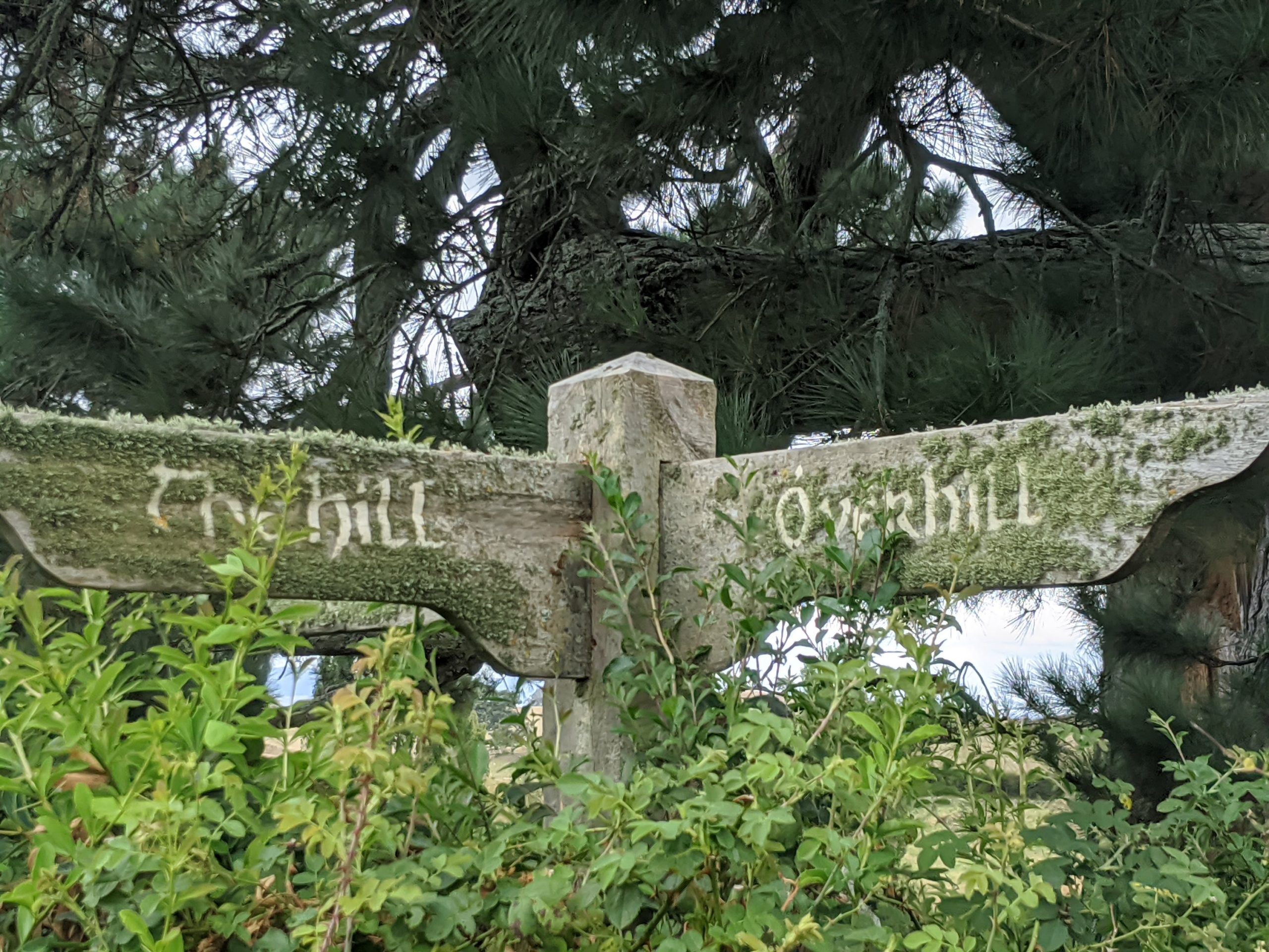
We headed from Rotorua towards Hobbiton and stopped at a little town called Tirau. There we wandered around and stopped for coffee.
This is actually a Merino wool store.
Then we headed to Matamata.
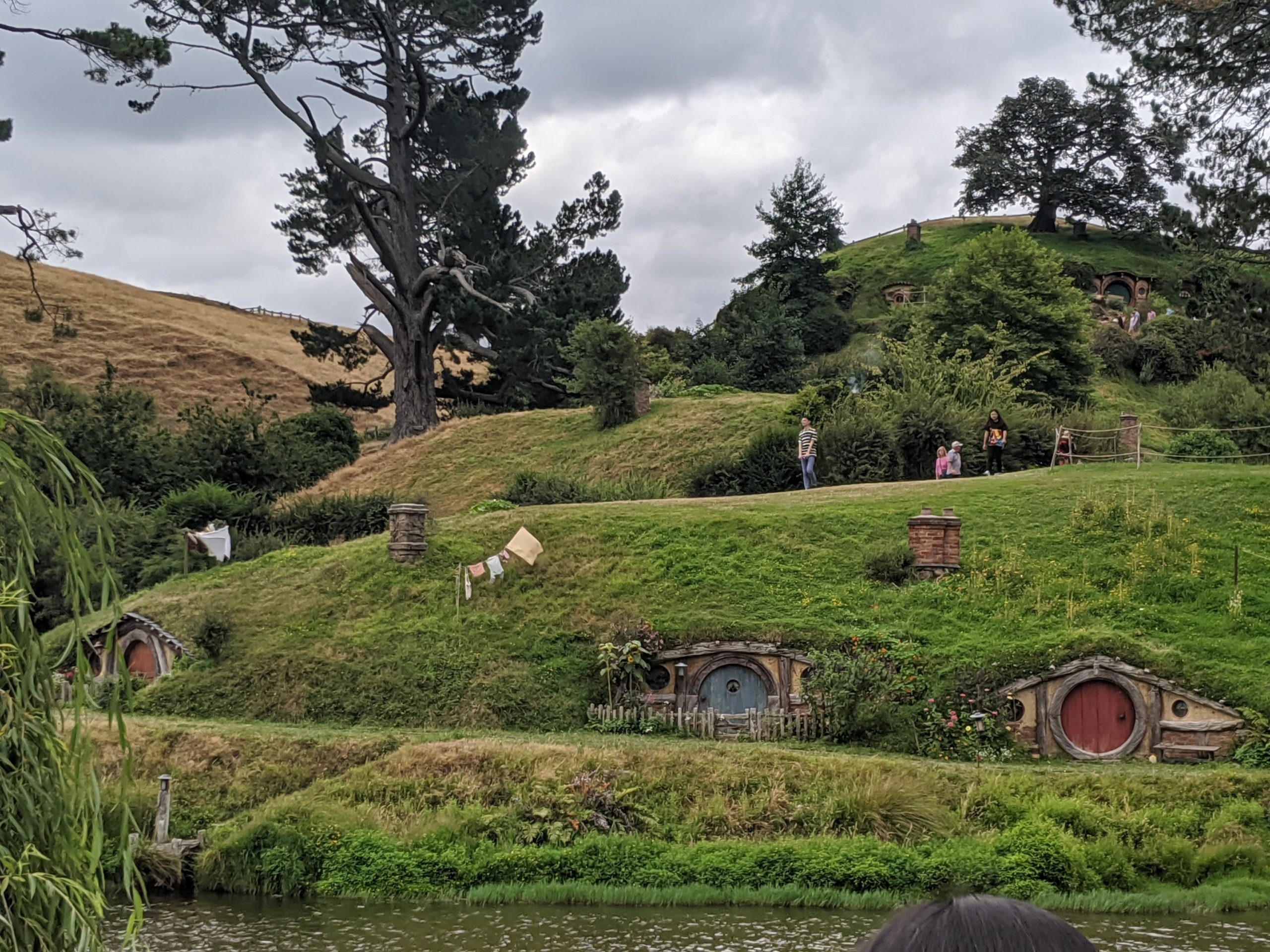
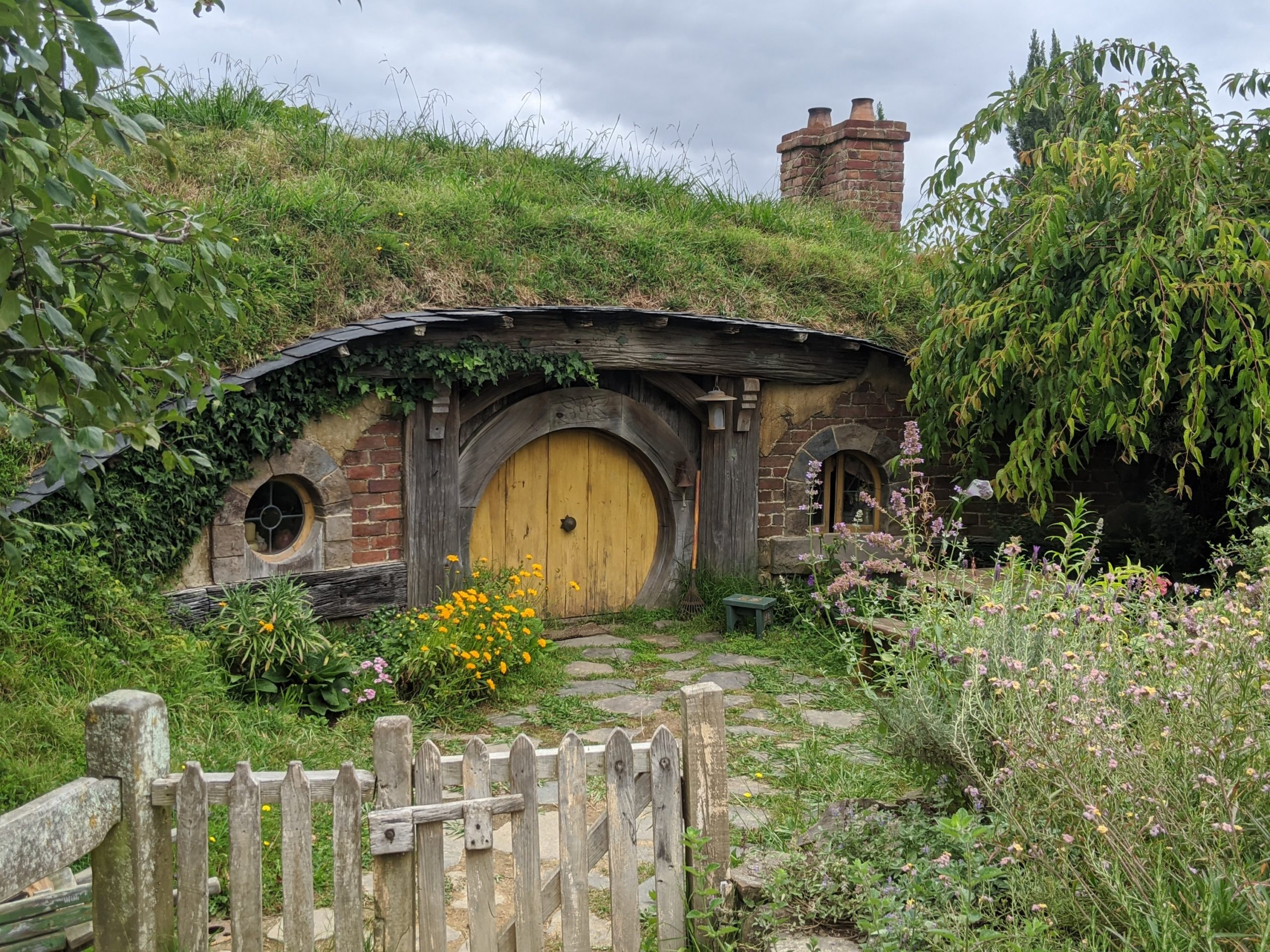
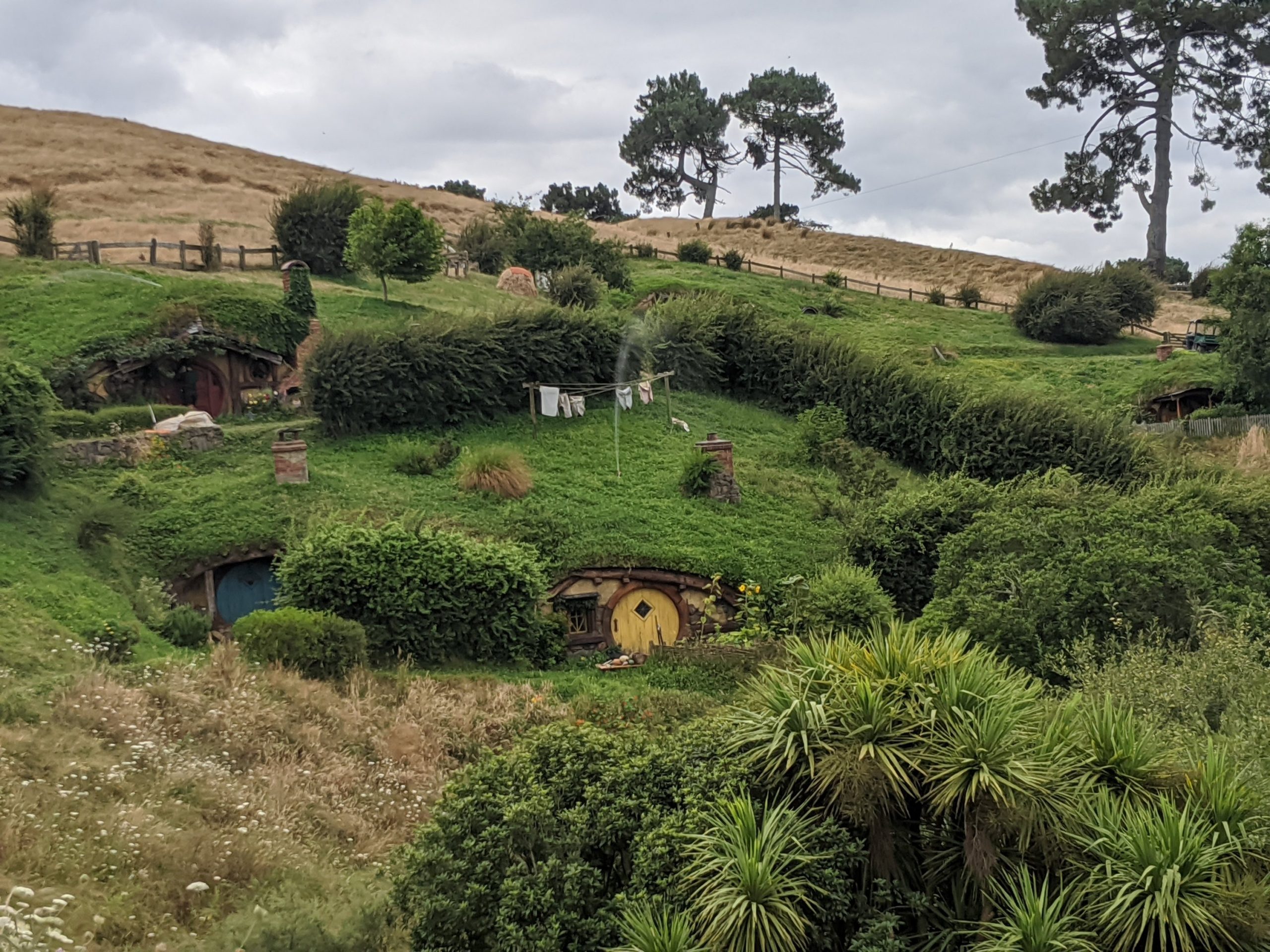
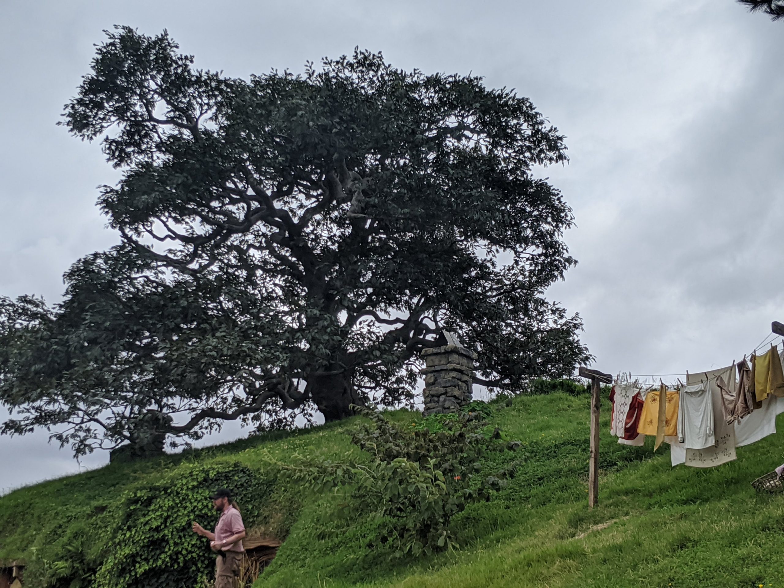
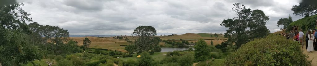
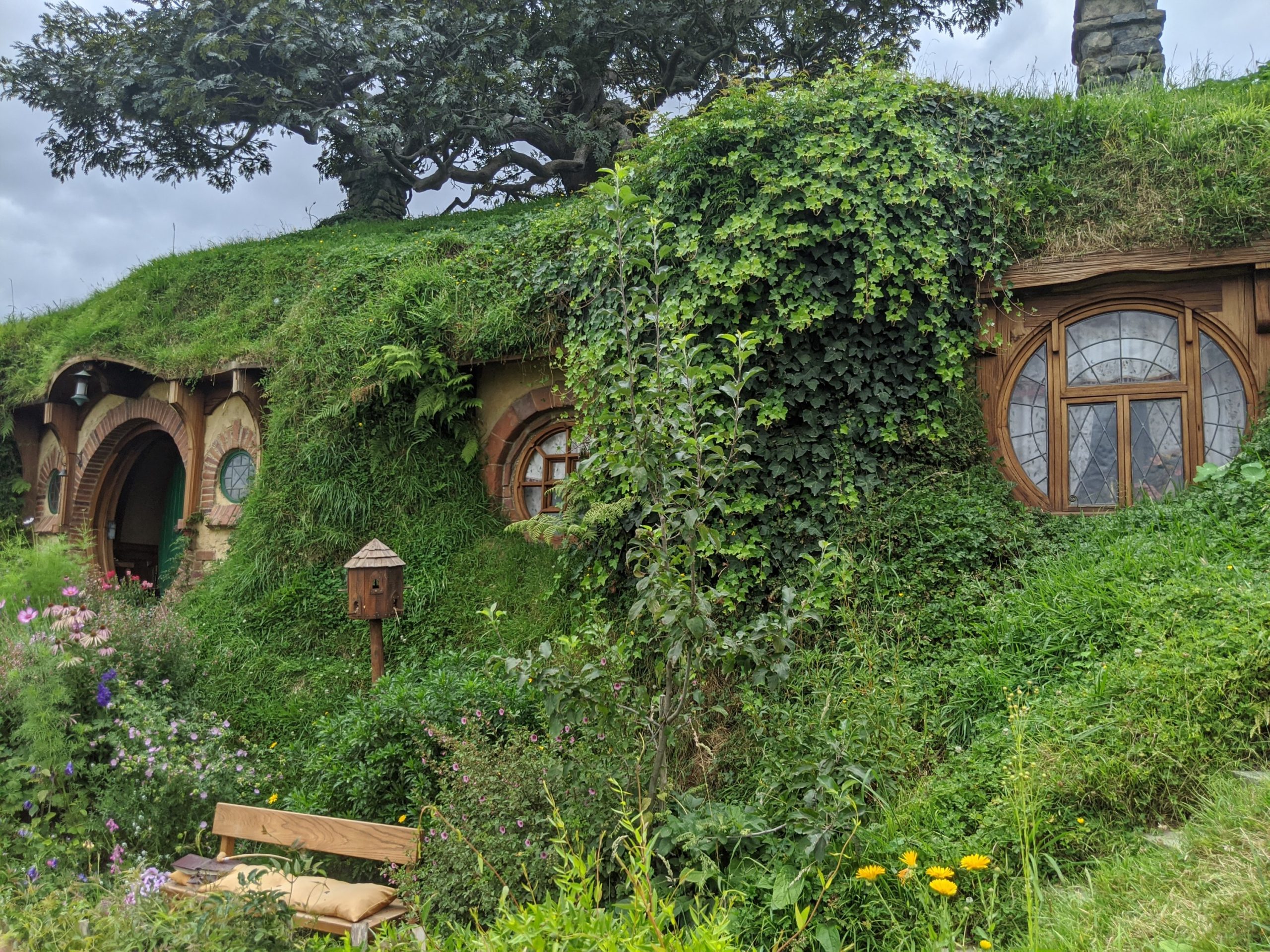
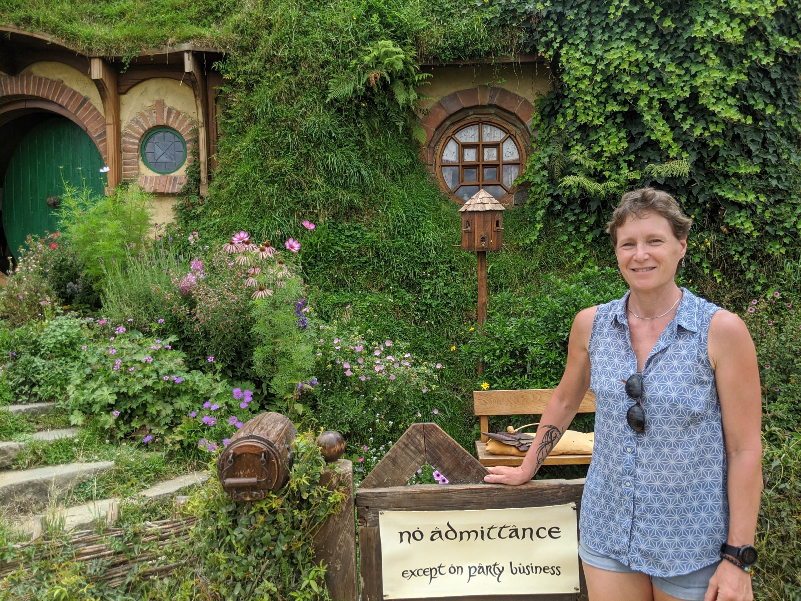
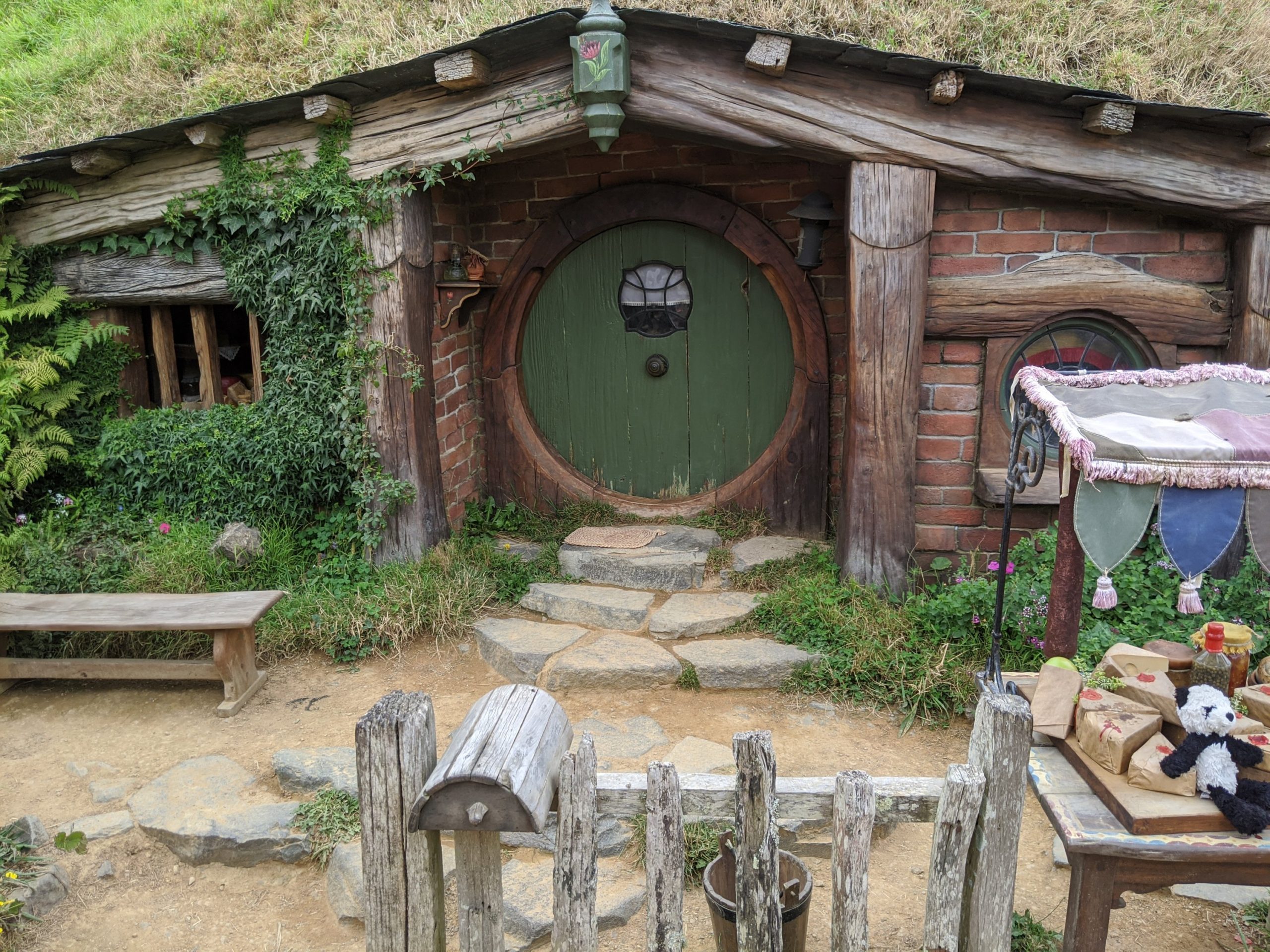
I had booked a buffet lunch to eat before the Hobbit tour. We arrived then met the tour guide and boarded a bus. We watched movie clips and interviews with Peter Jackson about the set. It is still located on a farmers land. The two are partners for Hobbiton. The hills, lake, and tree were the reason this site was chosen.
Going to lunch…
After lunch we headed on the tour. The NZ army was hired to build the road needed to go in and out of the set.
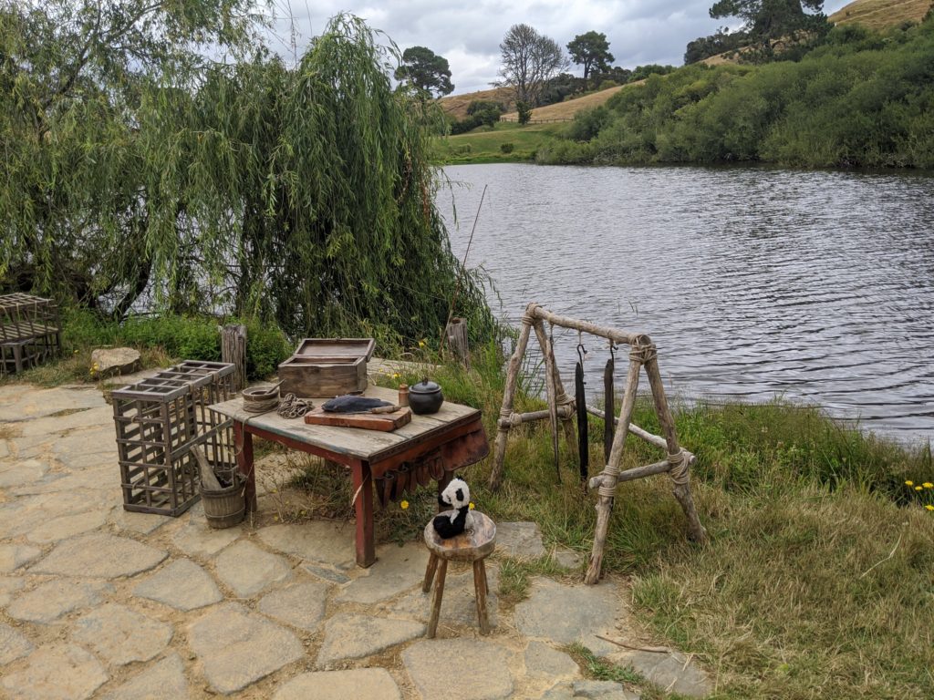
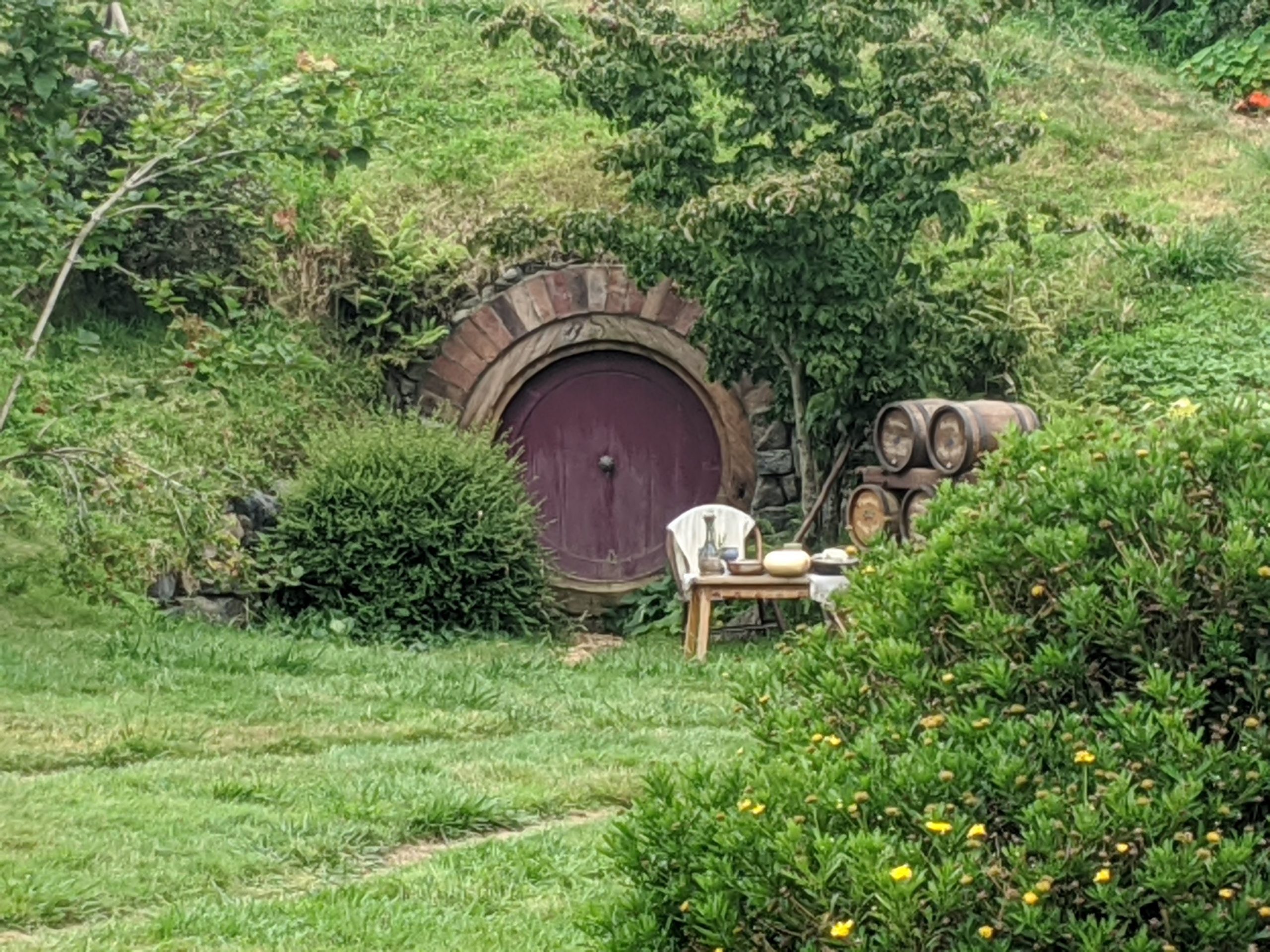
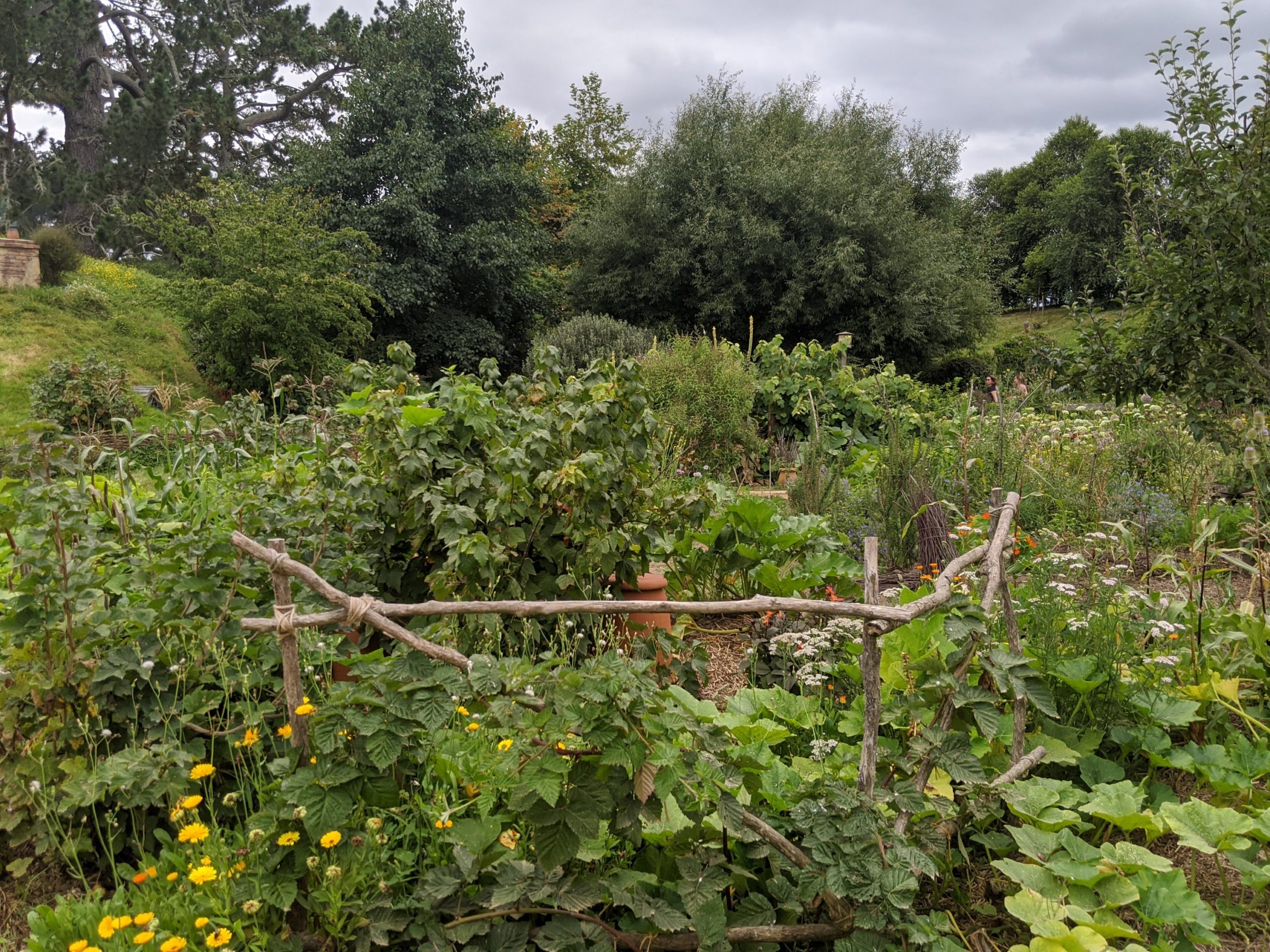
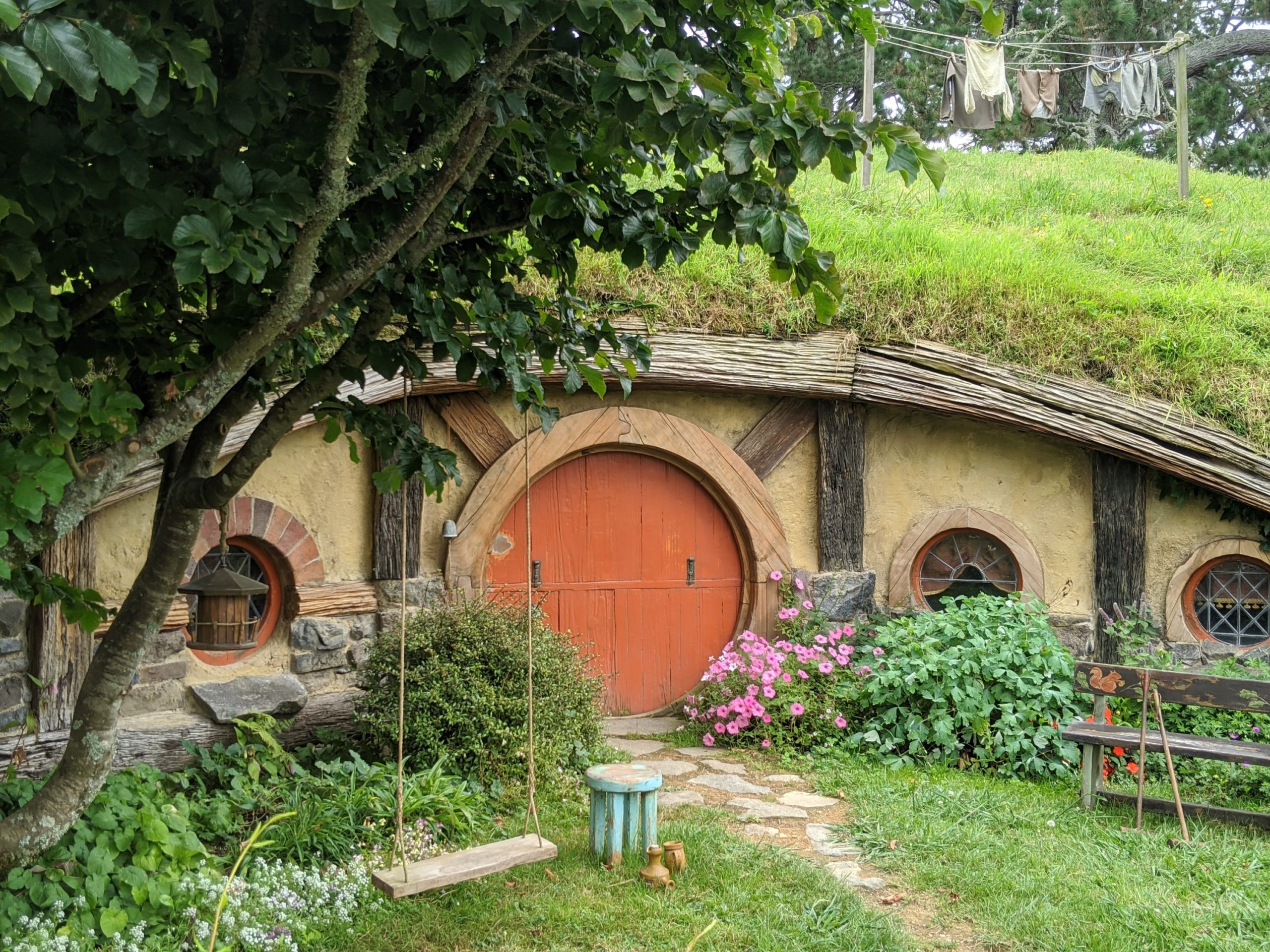
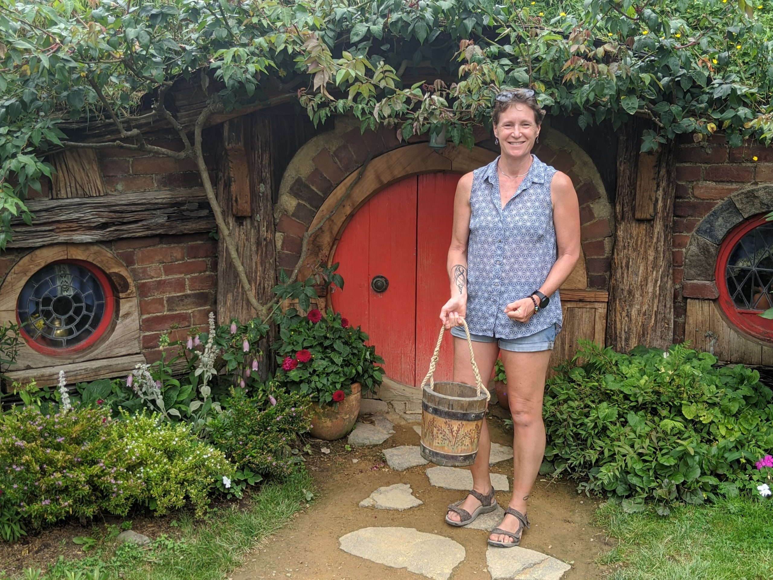
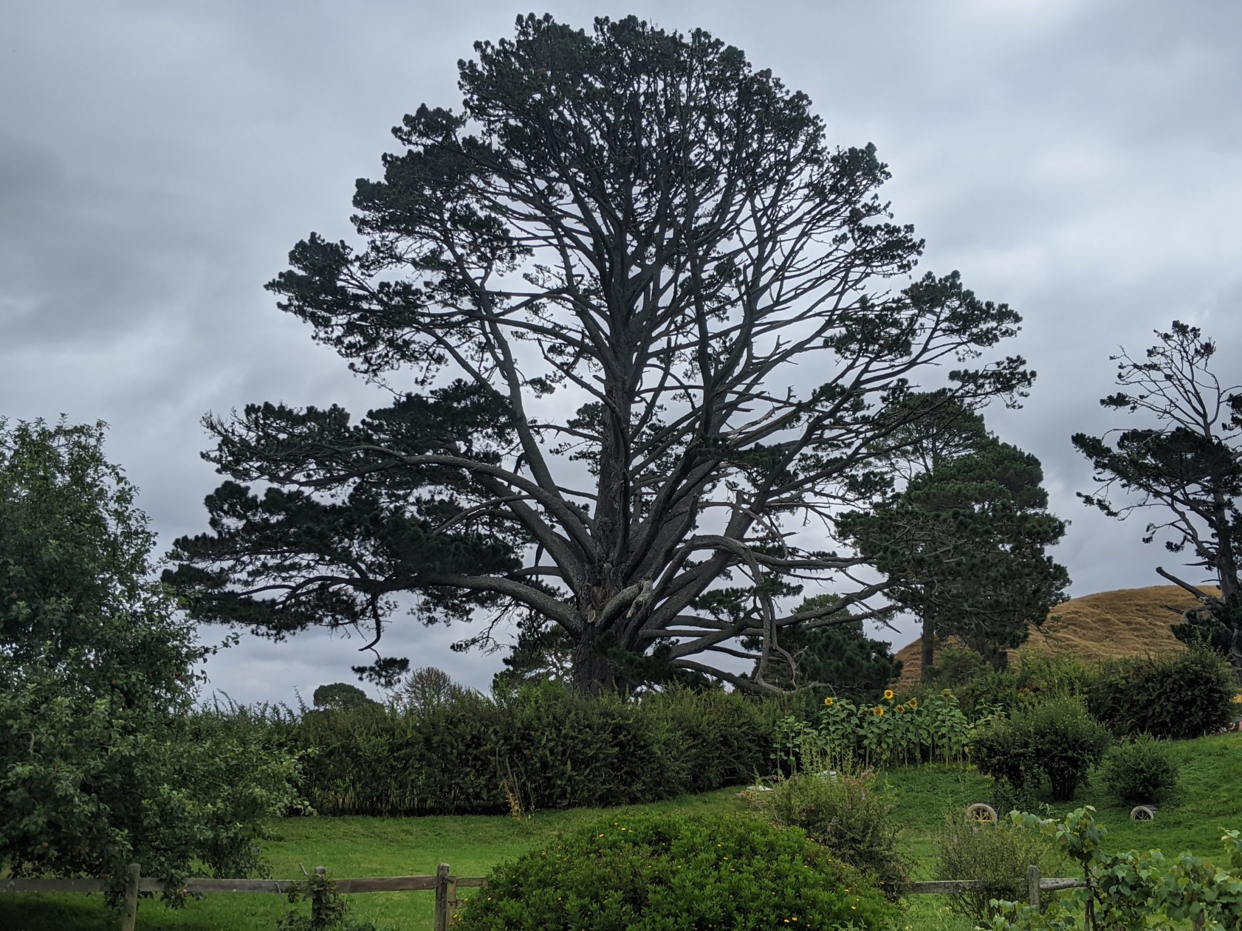
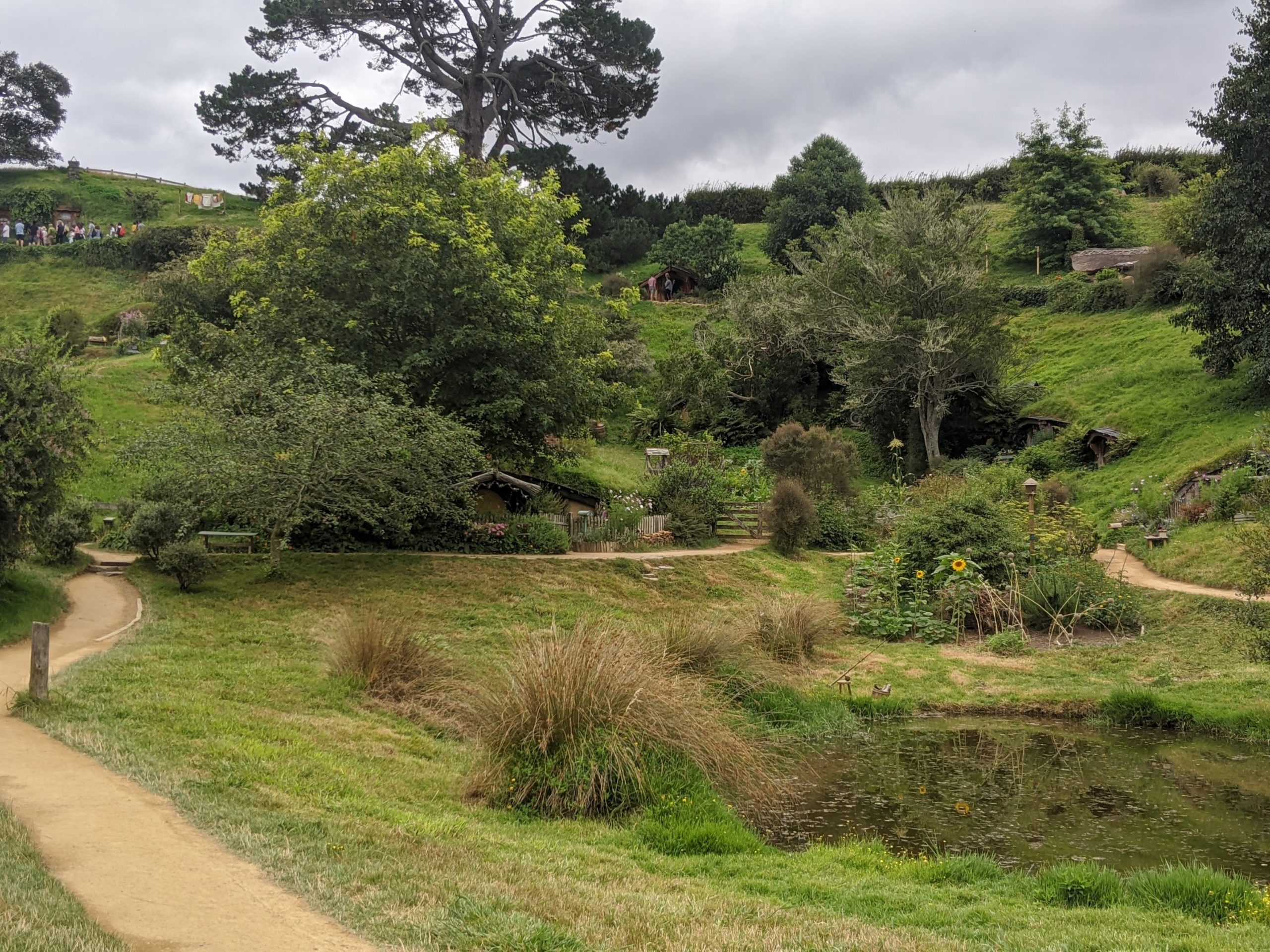
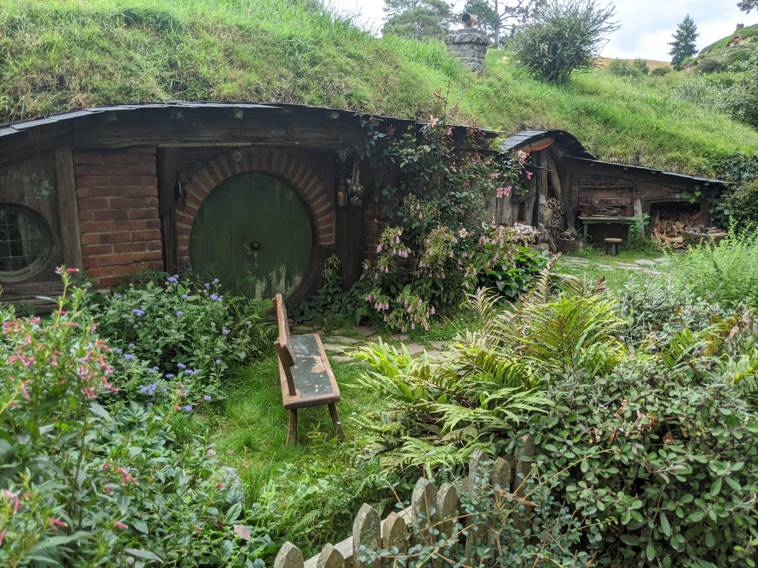
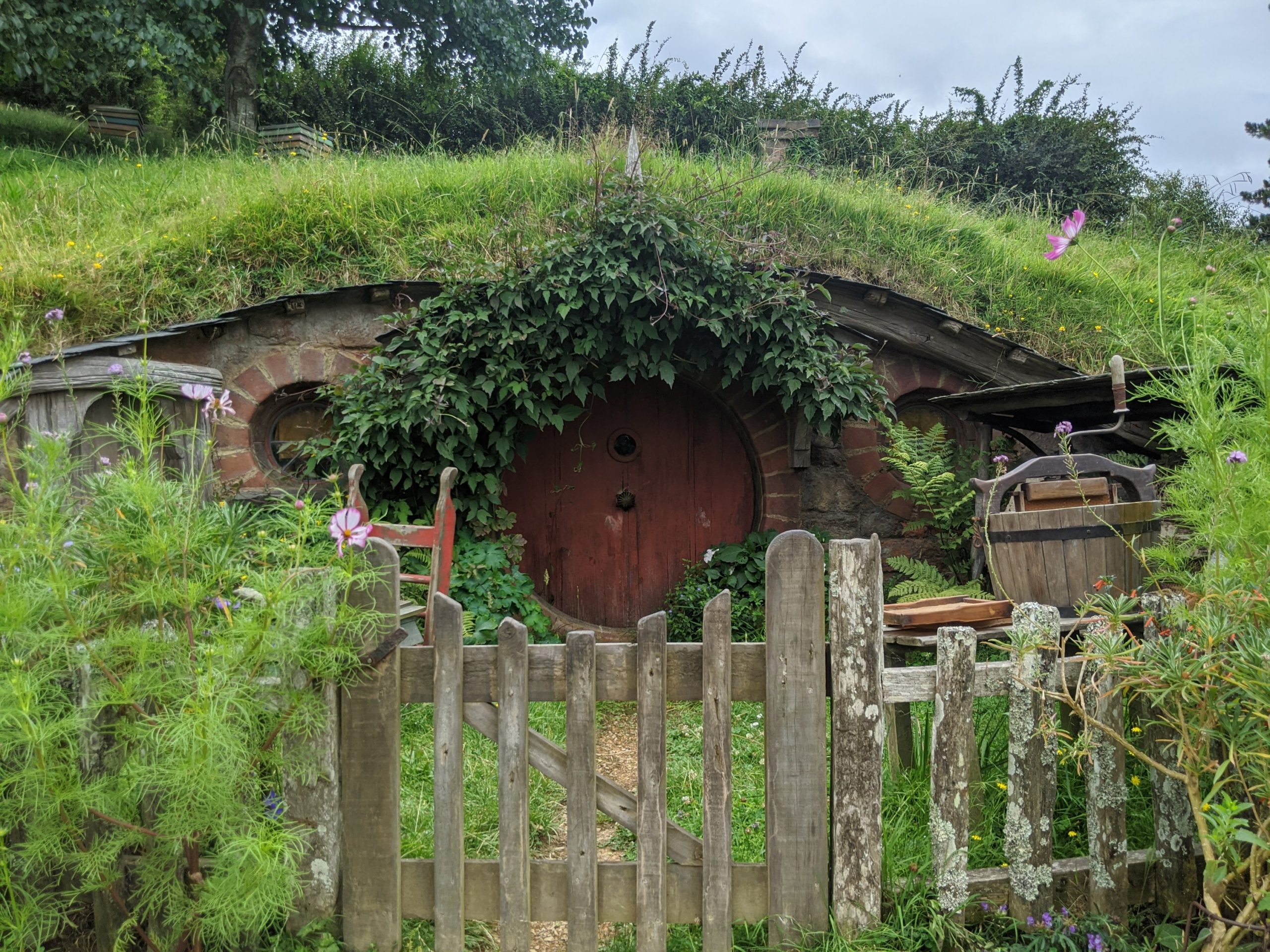
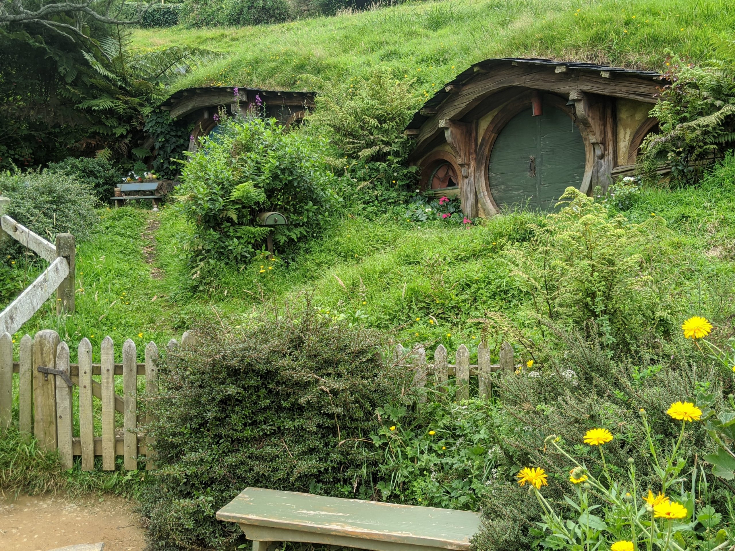
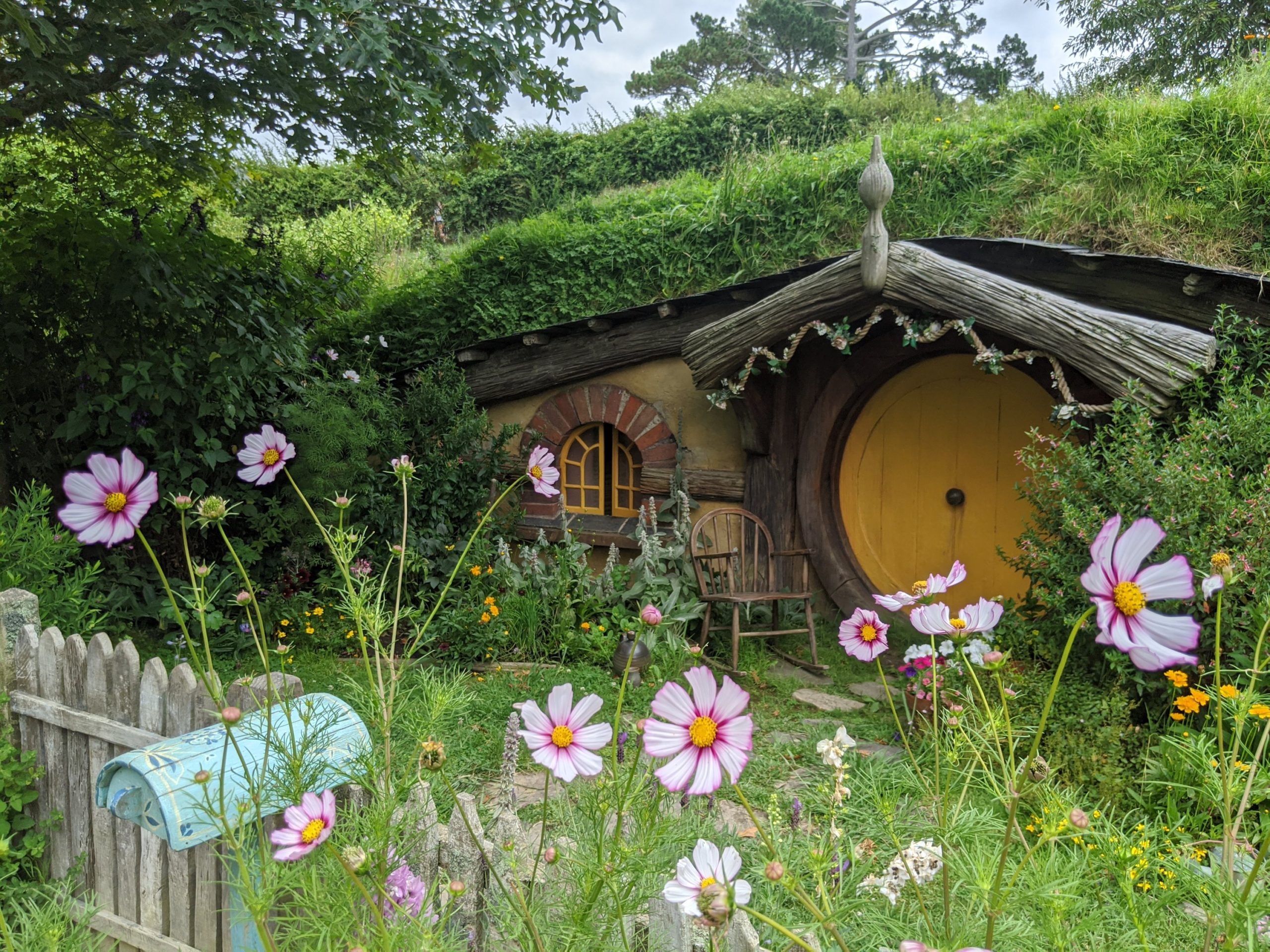
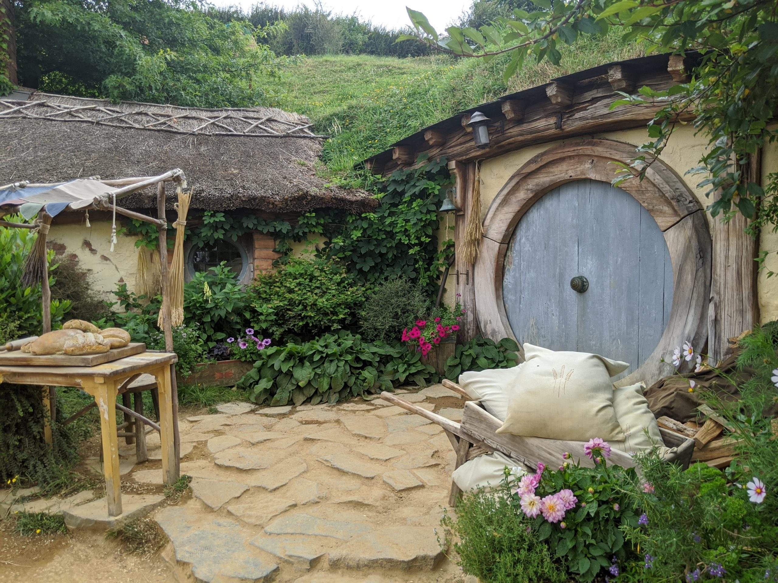
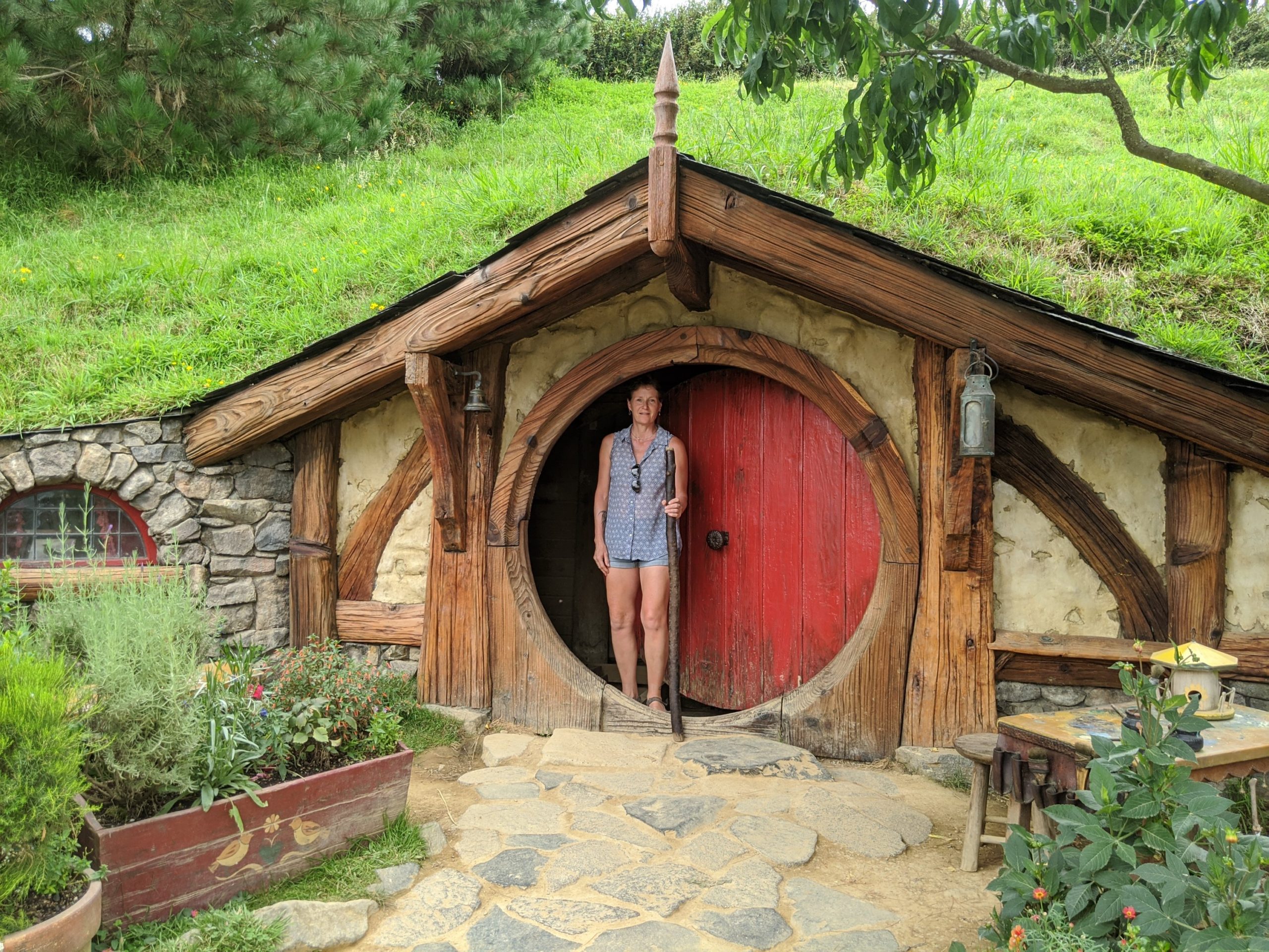
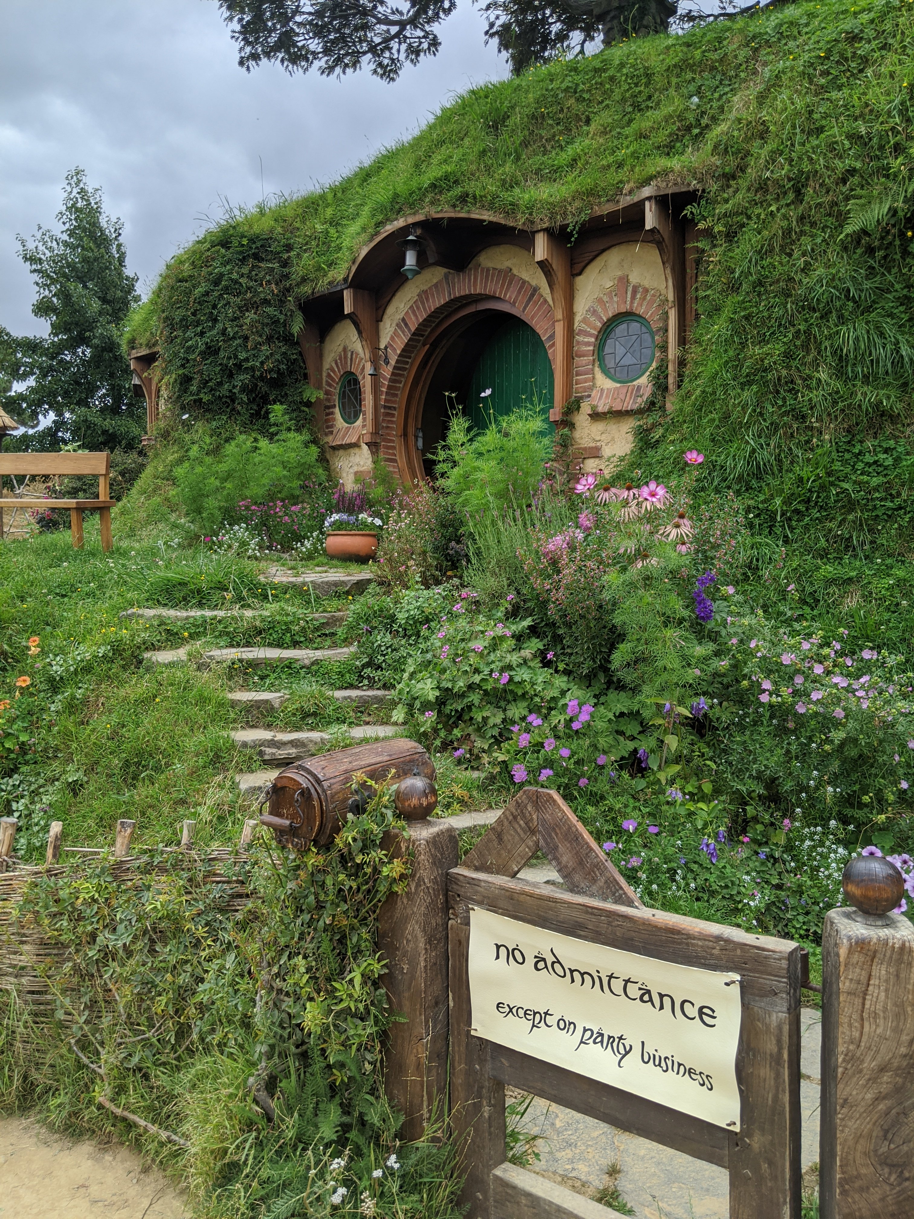
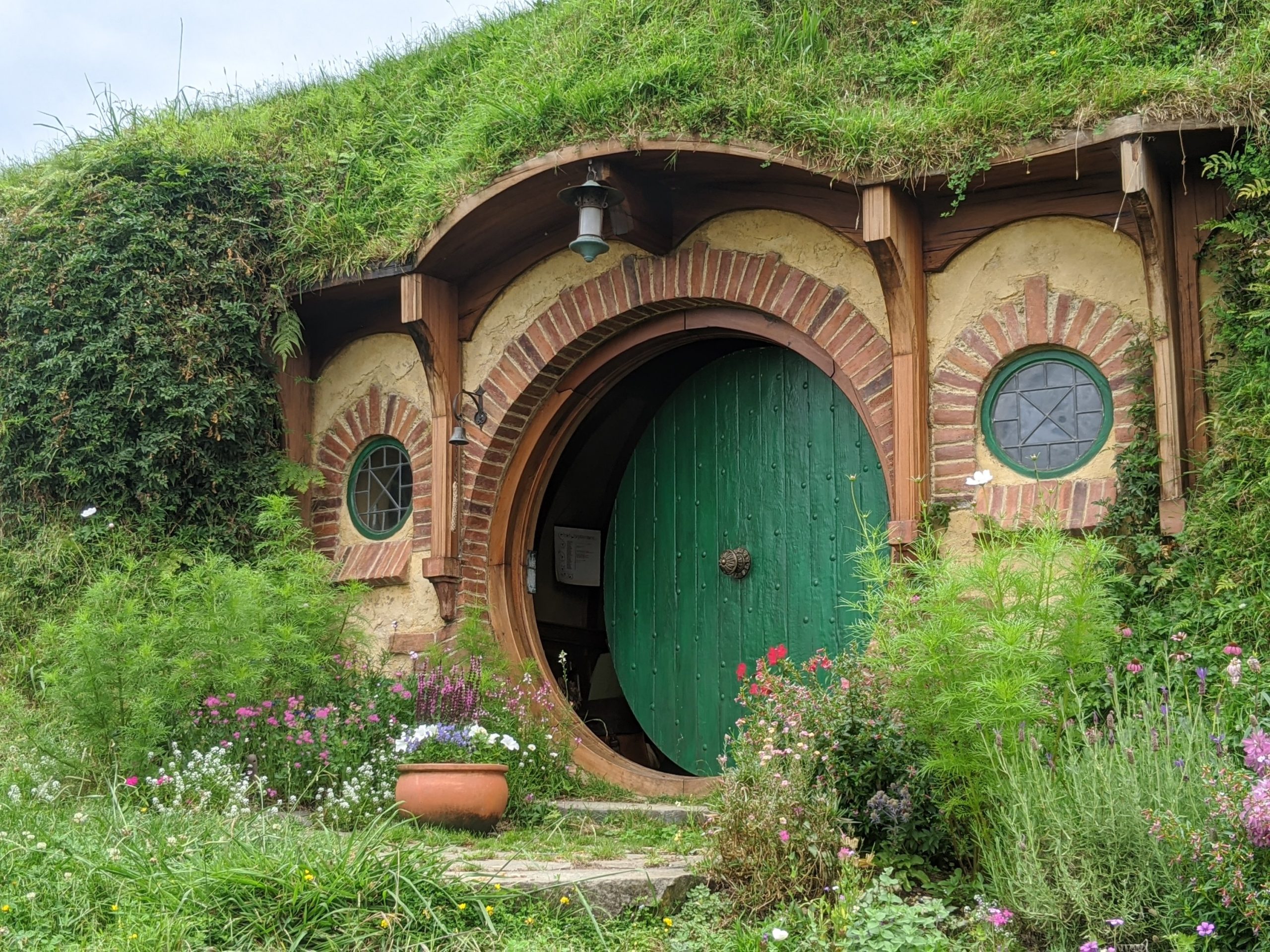
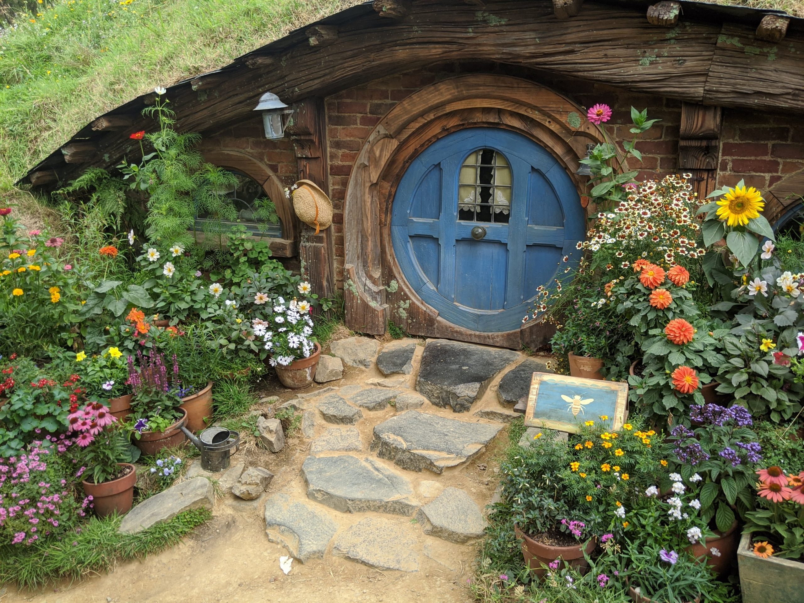
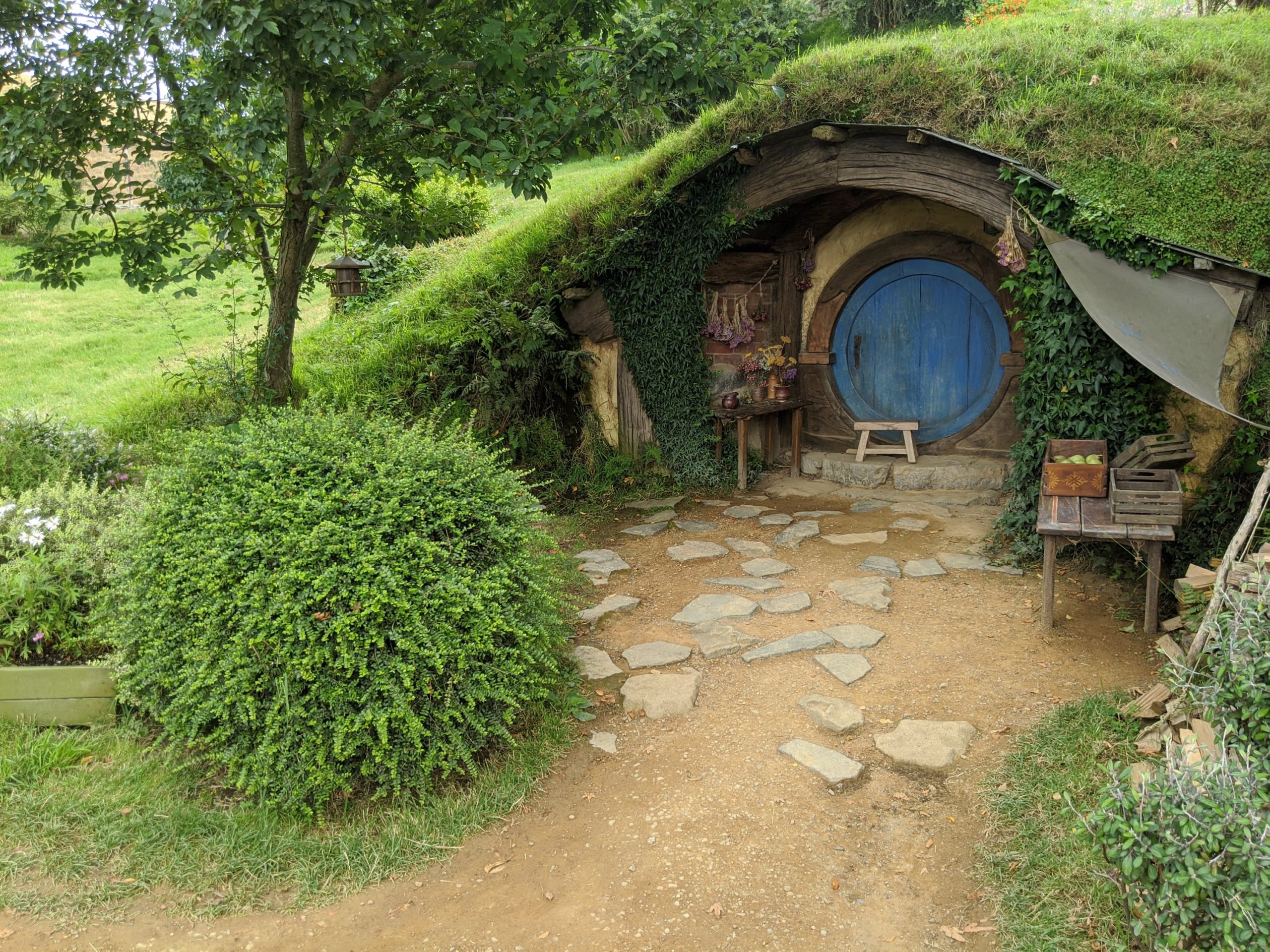
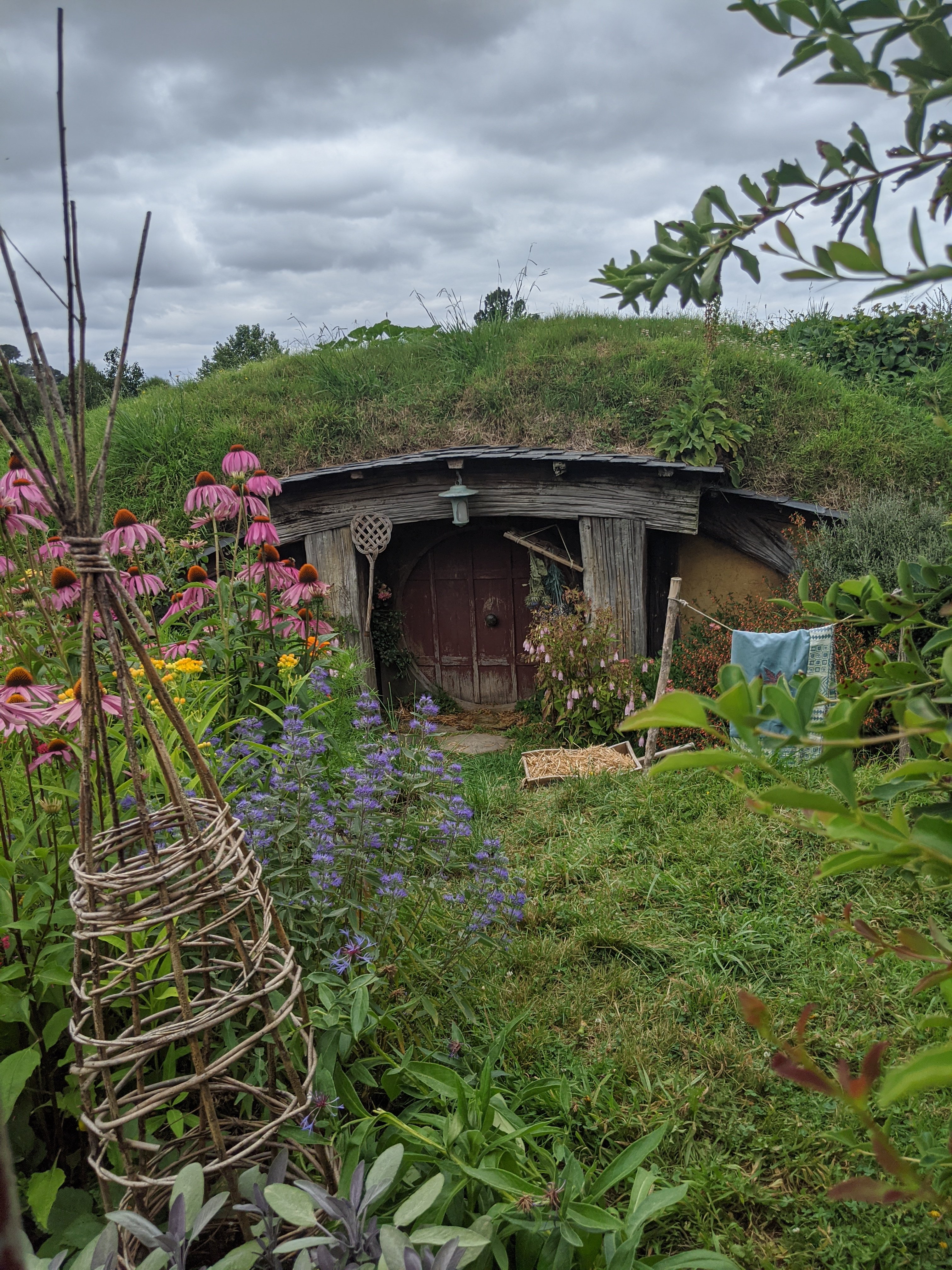
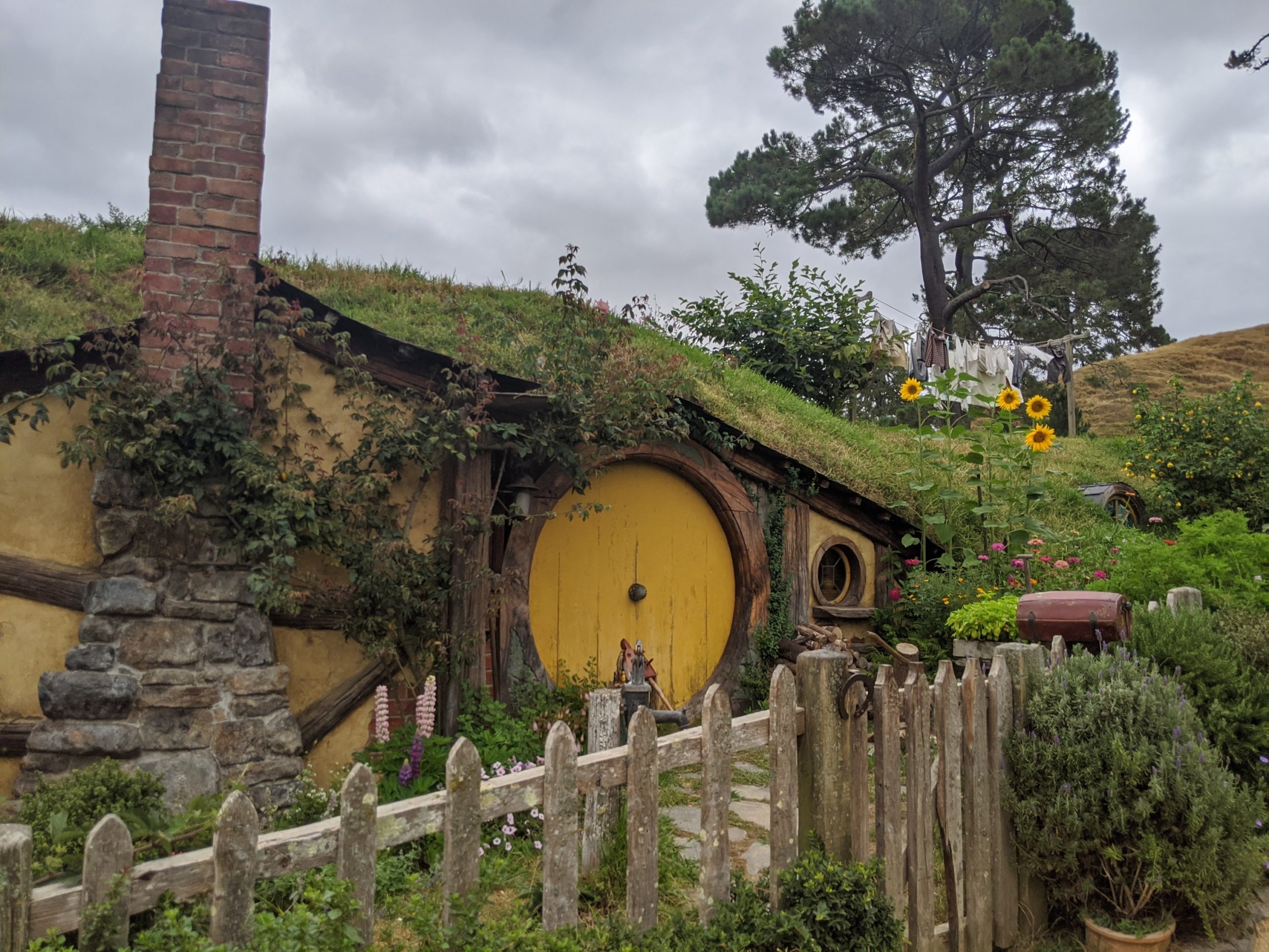
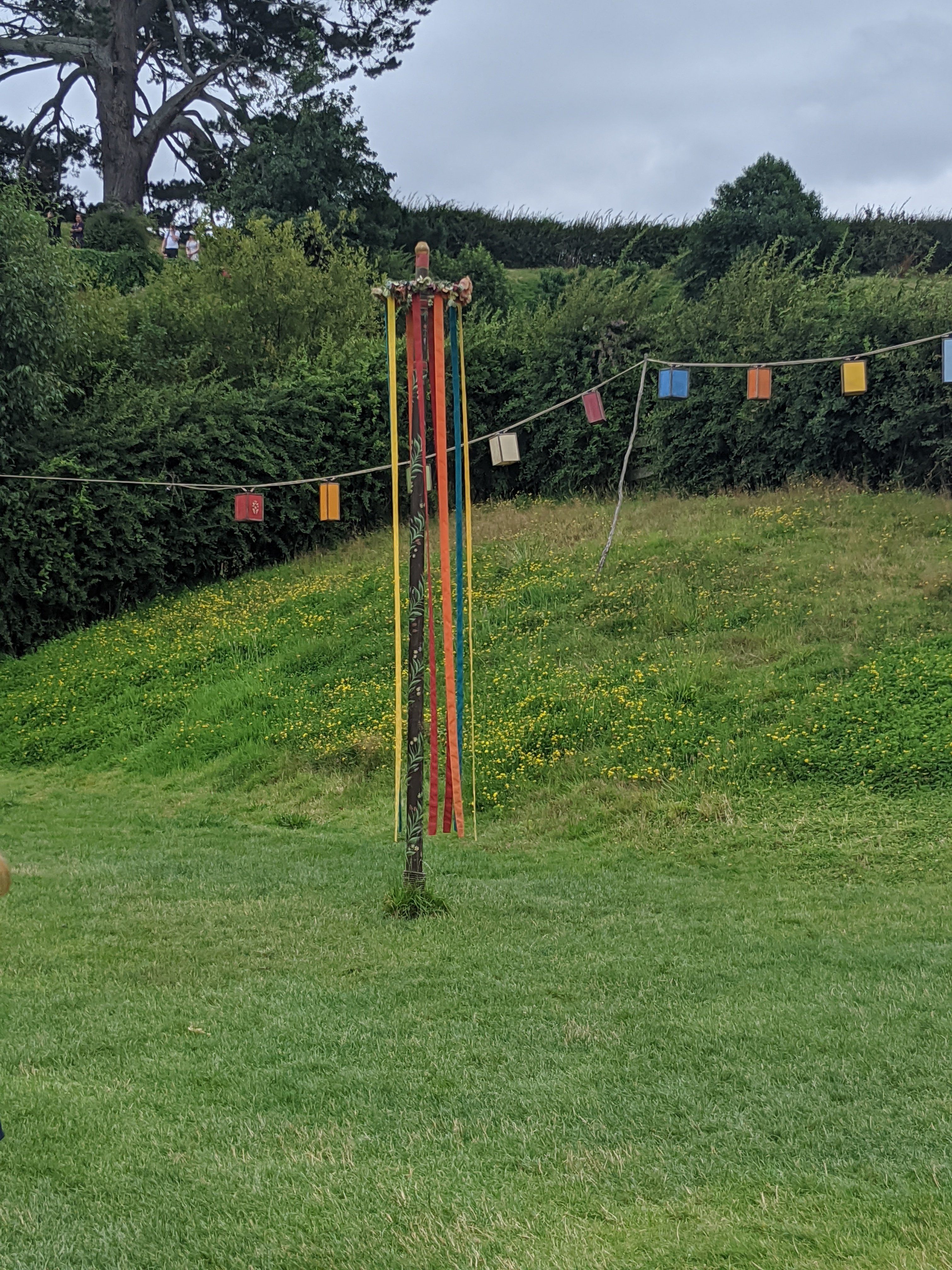
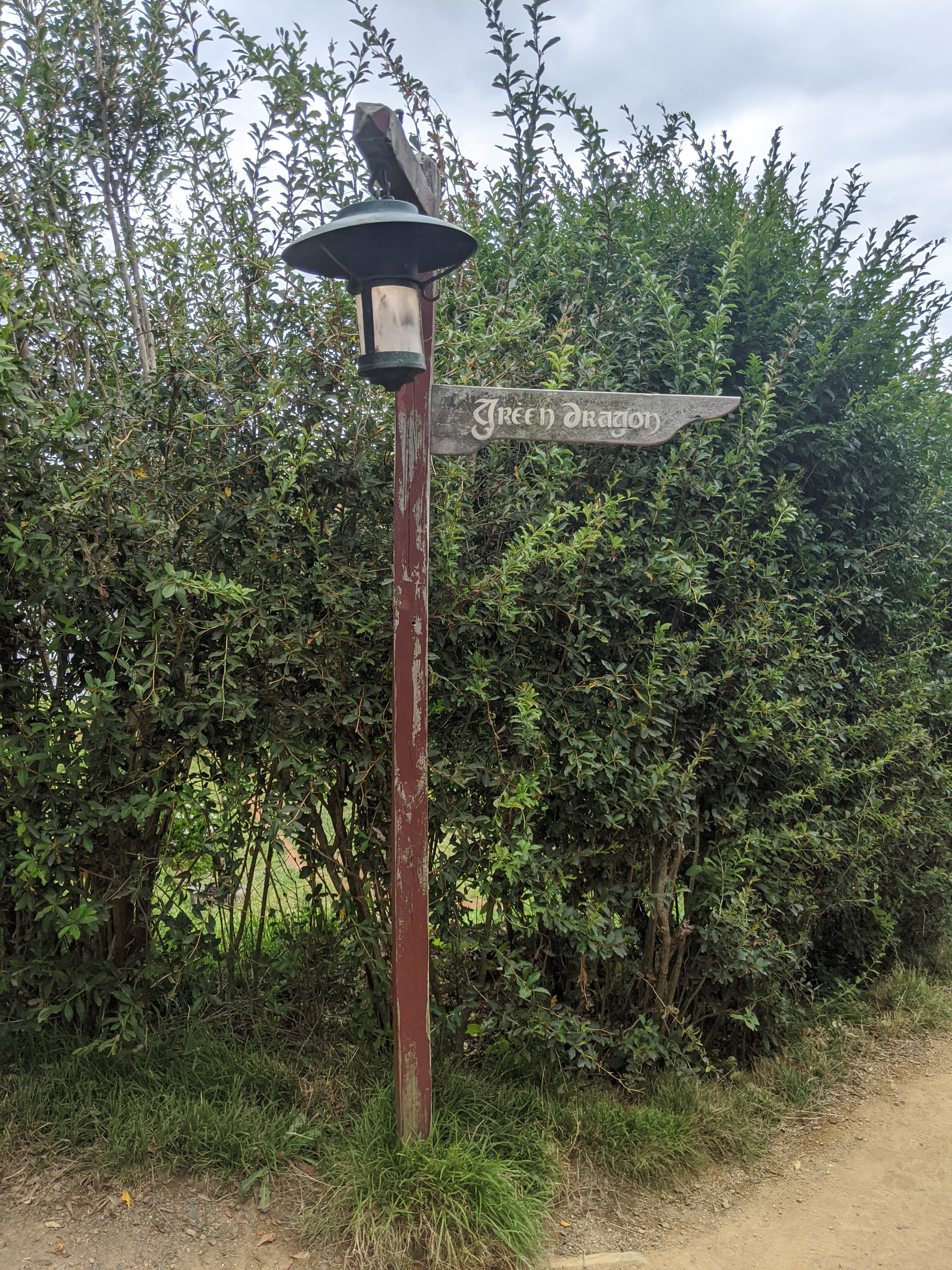
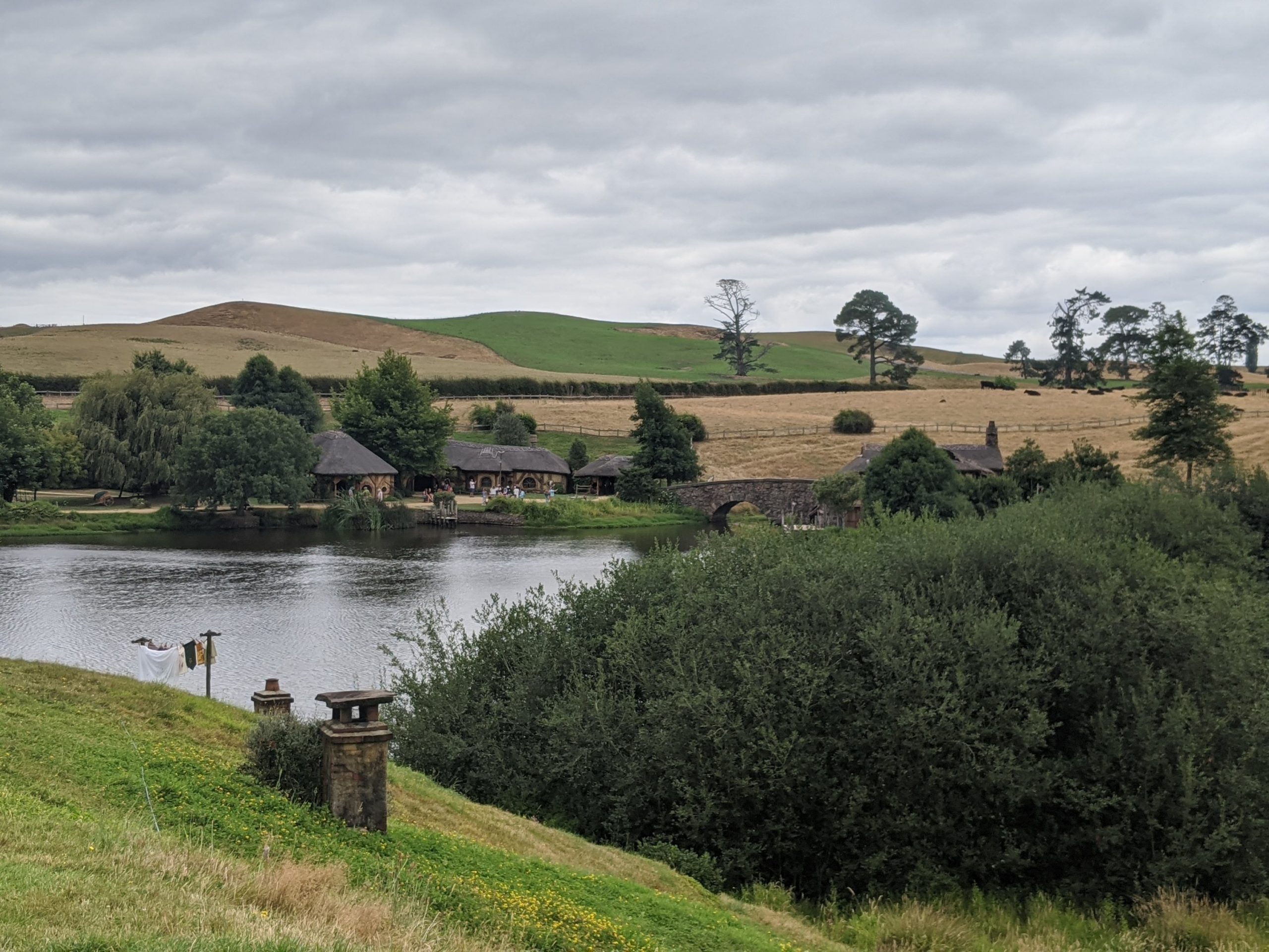
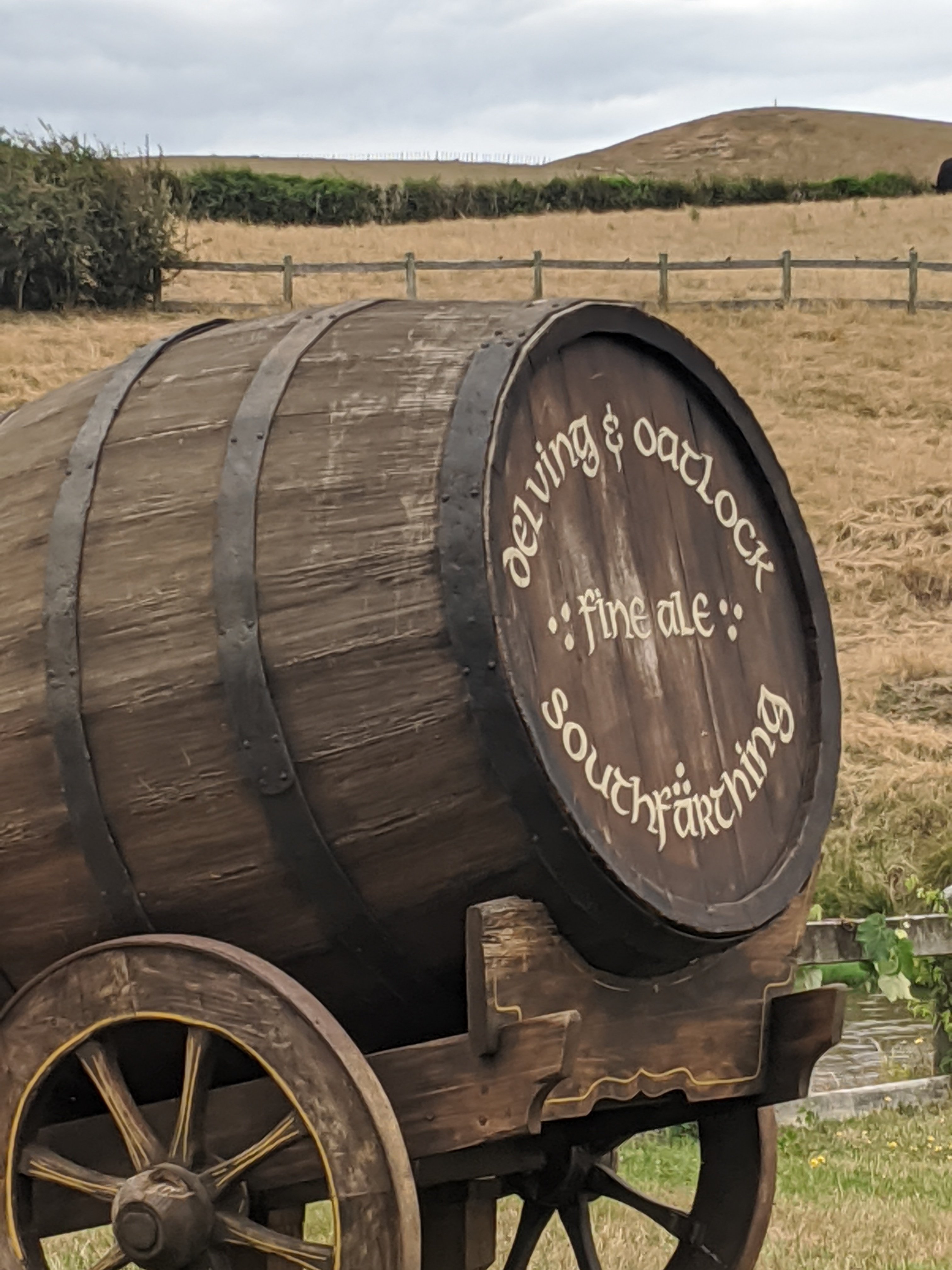
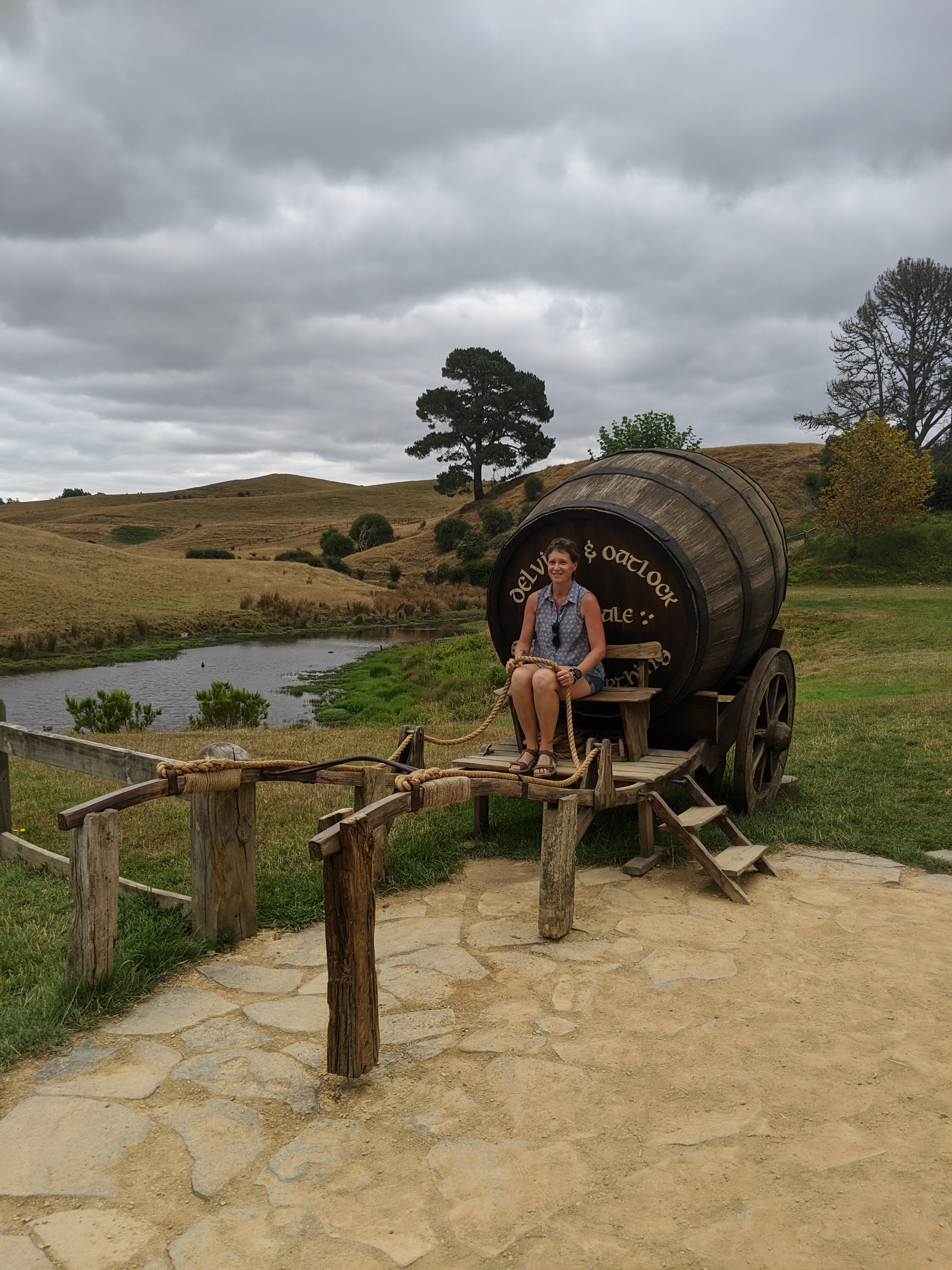
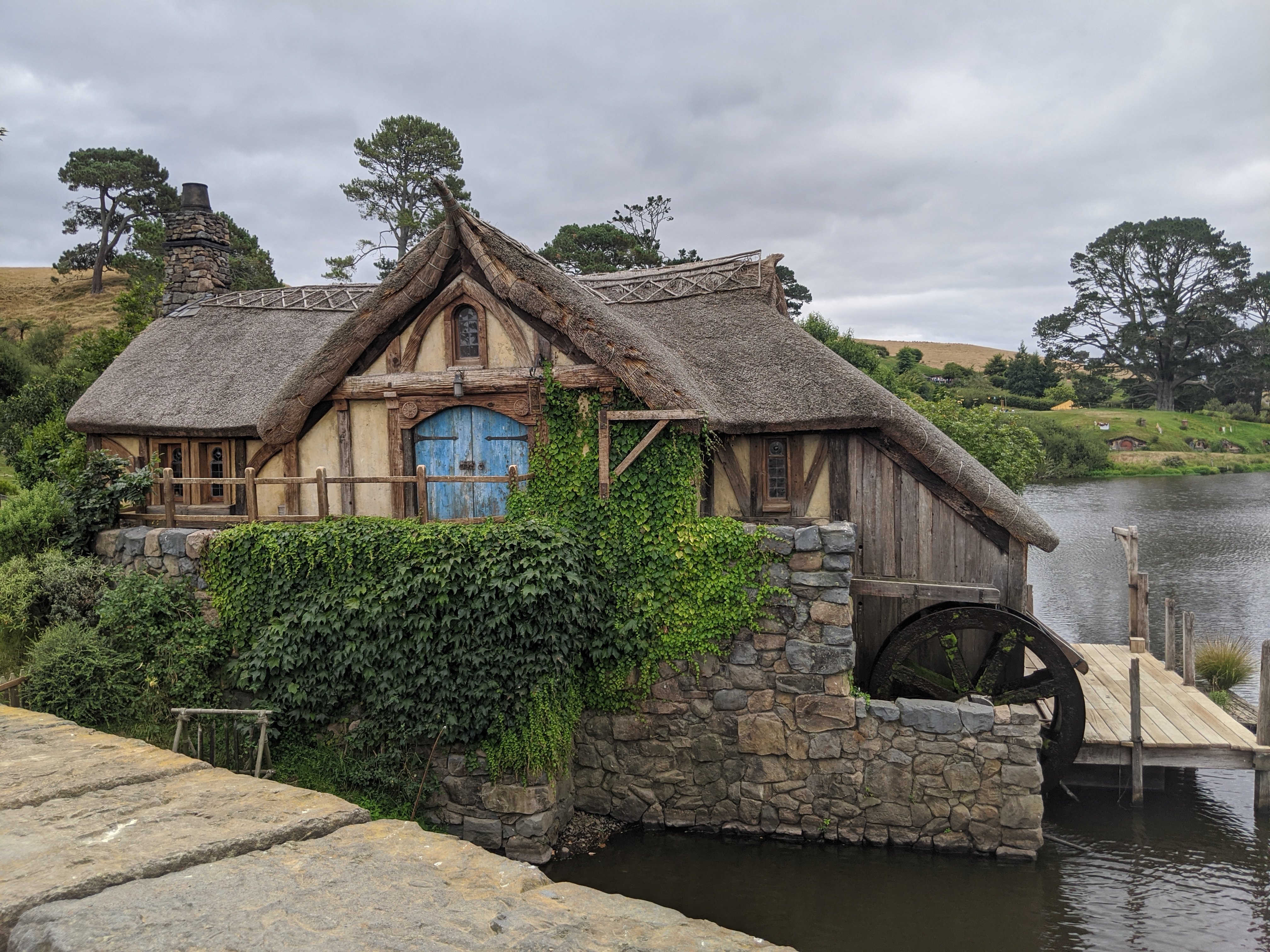
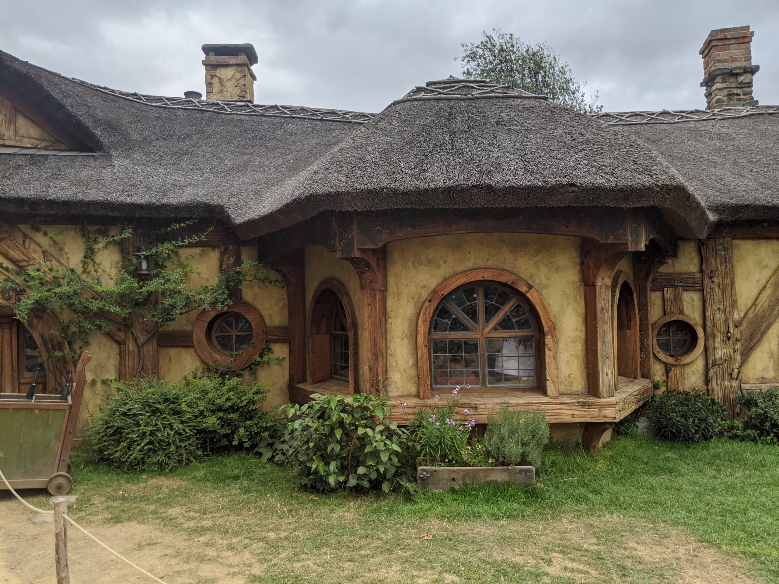
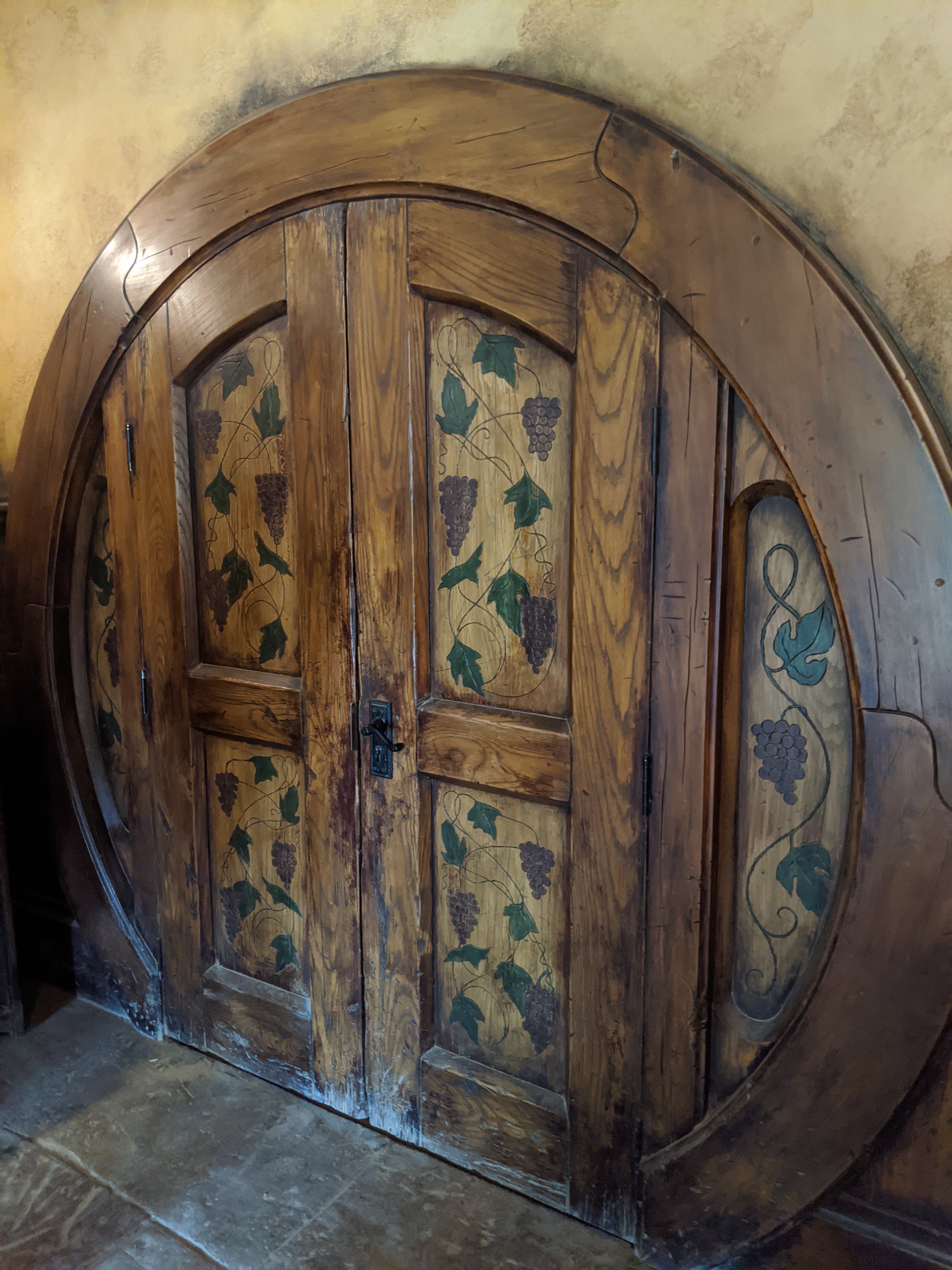
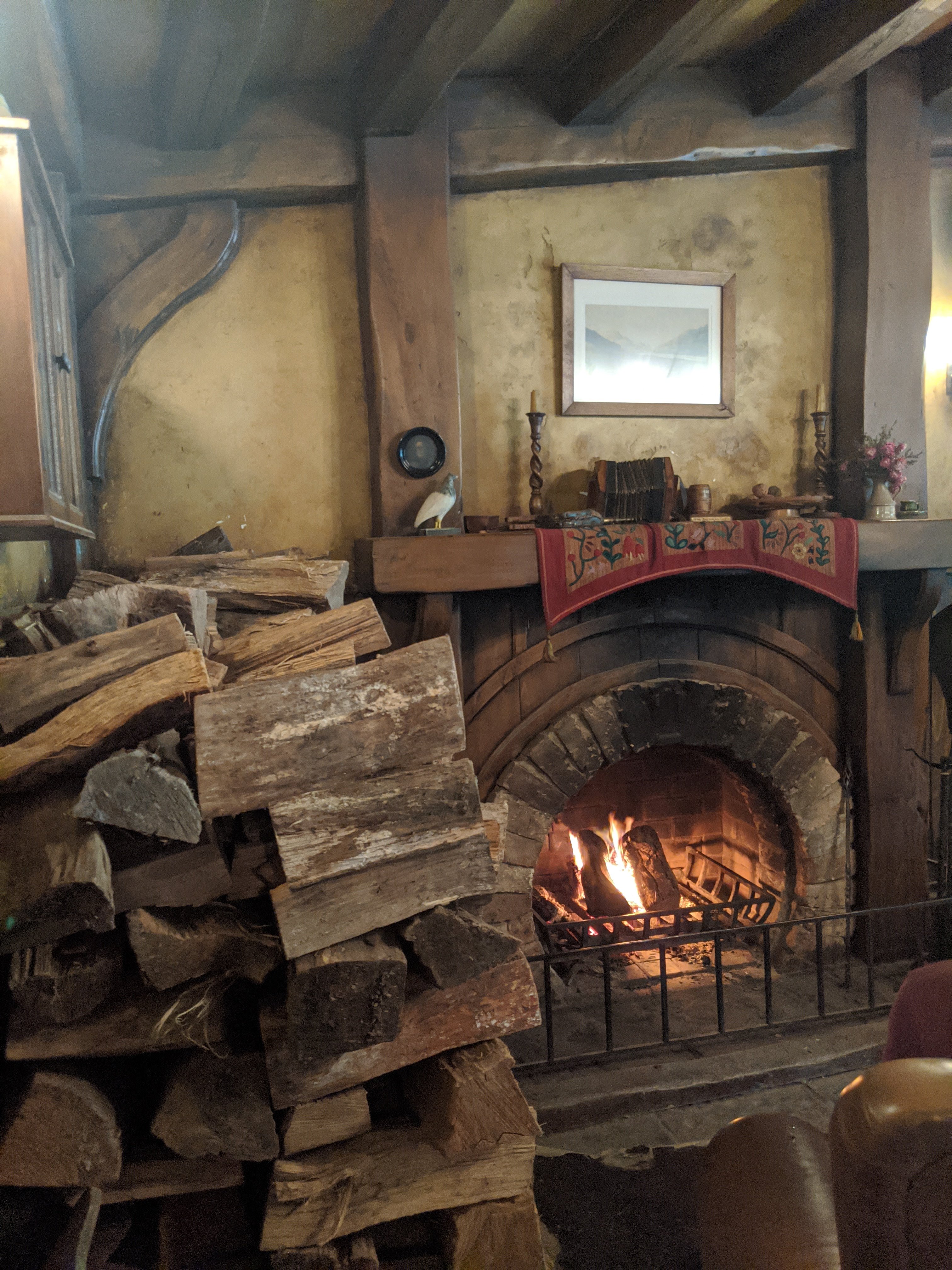
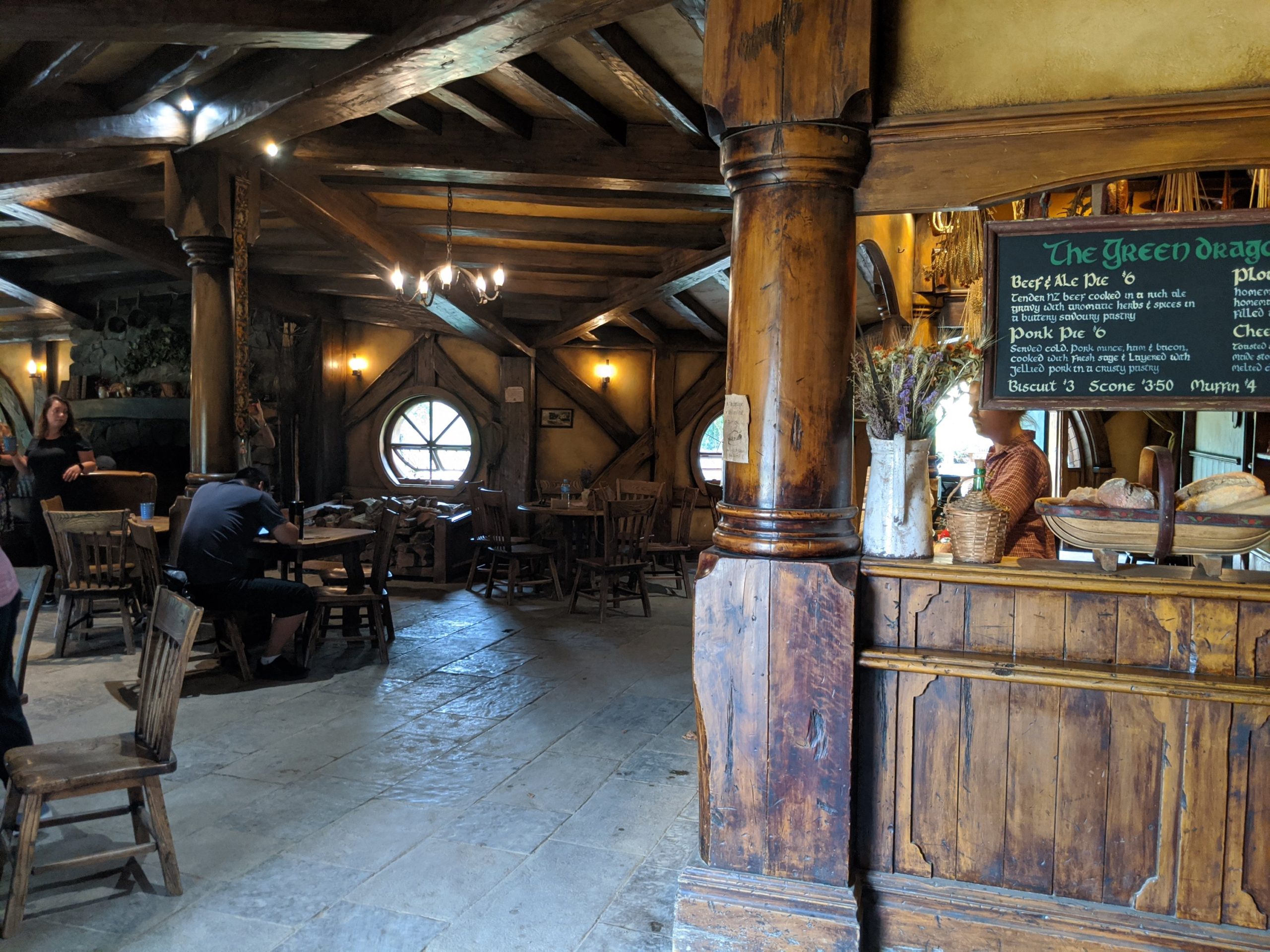
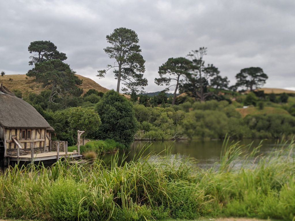
We learned how sets were made and how they made moss looks realistic. Everything is of poly wood to last longer.We were told about the two different sizes of Hobbit holes. They would use the small ones to photograph Gandalf and the large ones for the hobbits to achieve the difference in size of the characters.The attention to detail was amazing including an actual garden.This is the party tree from the movie that we see for Bilboa’s birthday and other clips from the movies. It is very old.This tree is fake. The leaves were taken off and fake leaves from Taiwan were purchased to put on the tree. Afterwards the color of the leaves was not quite right and Jackson hired people to paint the leaves to be the perfect color. Bilboa’s house is beneath it.The view from Bilboa’s door. In the movie he looks over to see a sunset. It is actually a sunrise. They shot the sequence backwards then played it in reverse. Bilboa’s house below the fake tree.Bilboa’s front door. Notice it is a larger hole to make the actor appear smaller.This Hobbit hole is smaller and Gandalf would stand here to appear larger.How they made the polywood look like real wood and moss so realistic is amazing.This is Sam’s house. Rosie met him here in the movie and there were 2 children. They are the actual children of the two actors (actors were not married together though.)On the party field below the big tree. This was originally swamp land and had to be raised 18 feet by filling with dirt.The keg on Gandalf’s wagon.Gandalf’s wagon.The Green Dragon Inn. We had a drink here and could choose from an ale, stout, or 2 non alcoholic ciders.
These are pictures from inside the Green Dragon Inn. Filming nside of Hobbit holes in the movies was completed on a sound stage in Wellington.
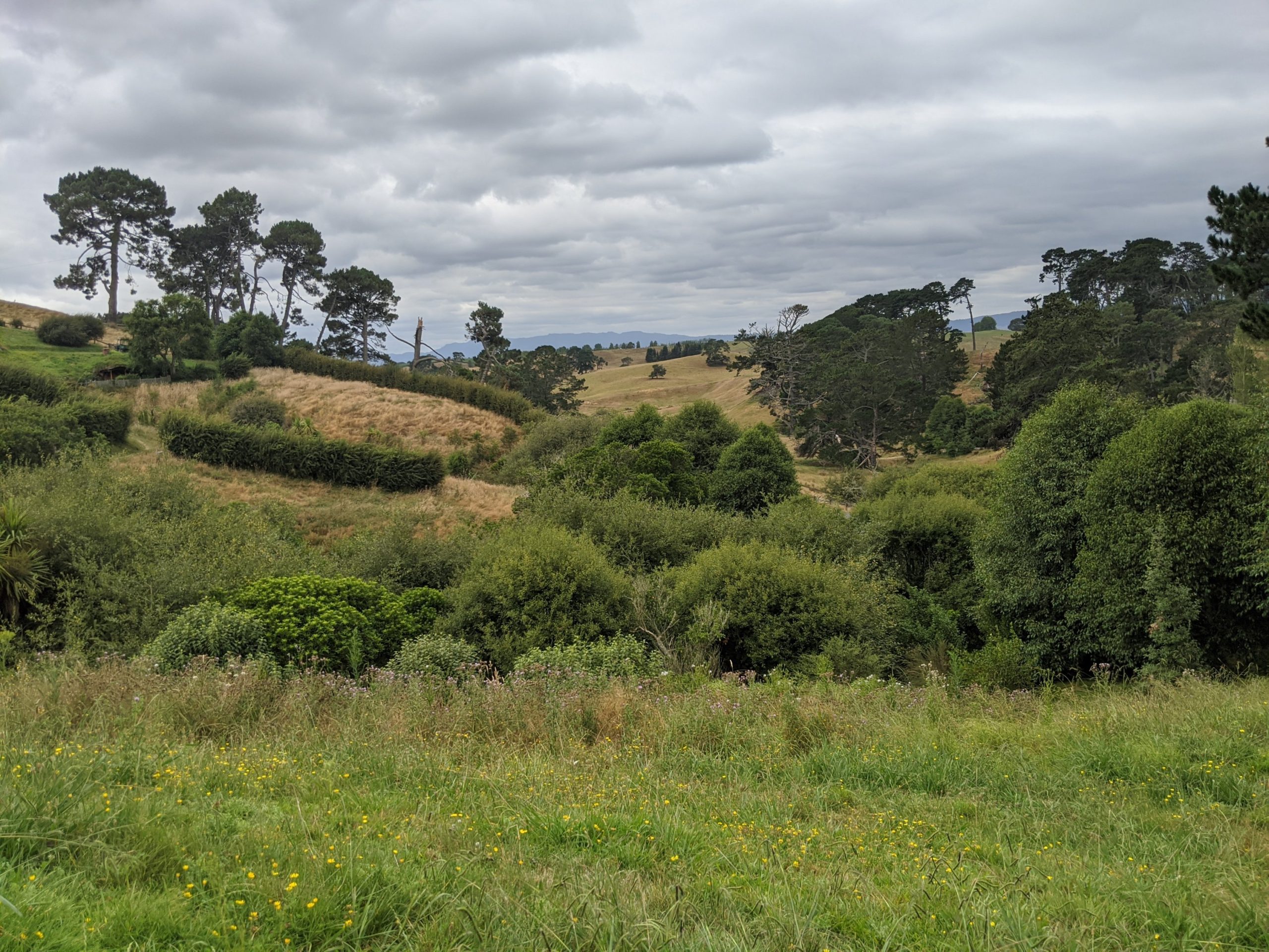
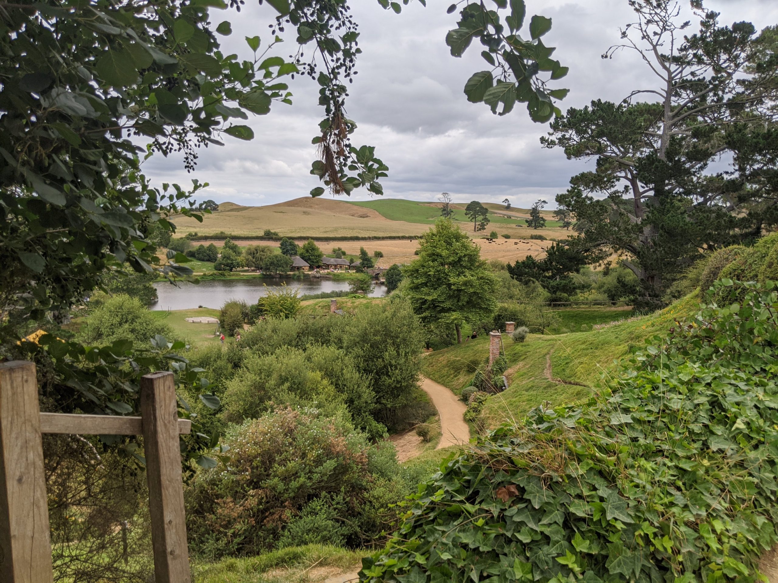
And then the tour was done! We left on a bus and continued our drive to Tauranga and the last of our vacation.
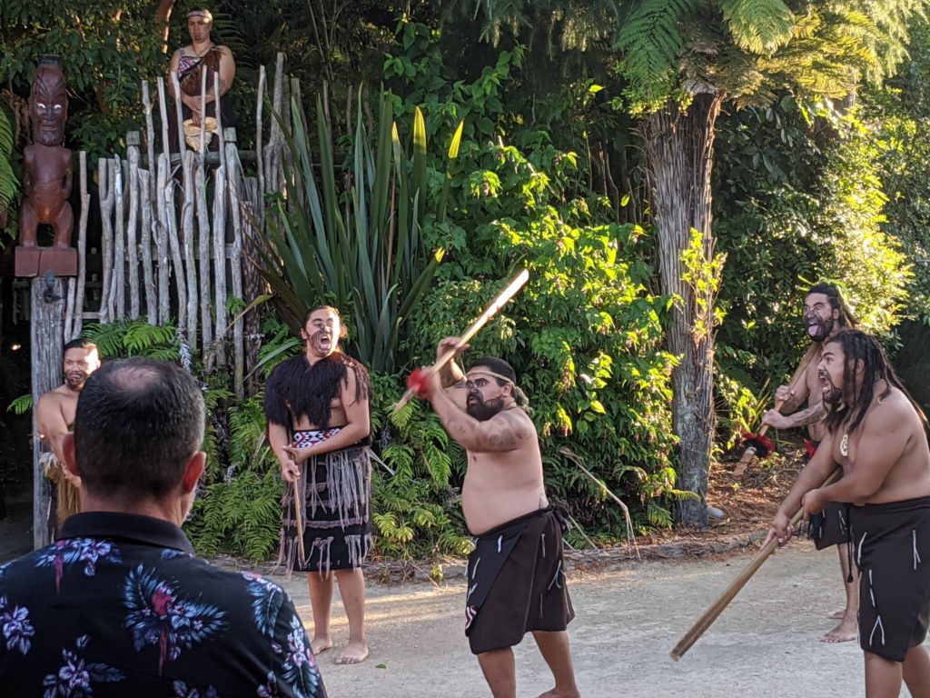
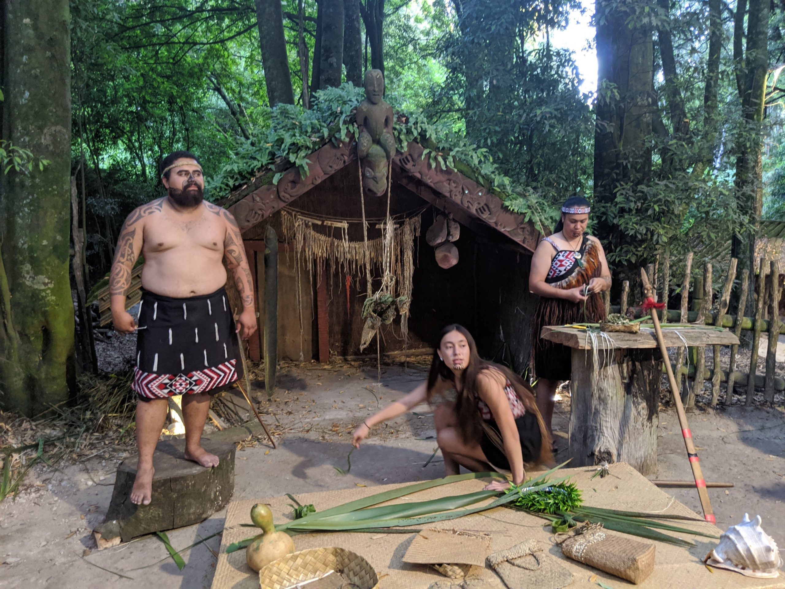
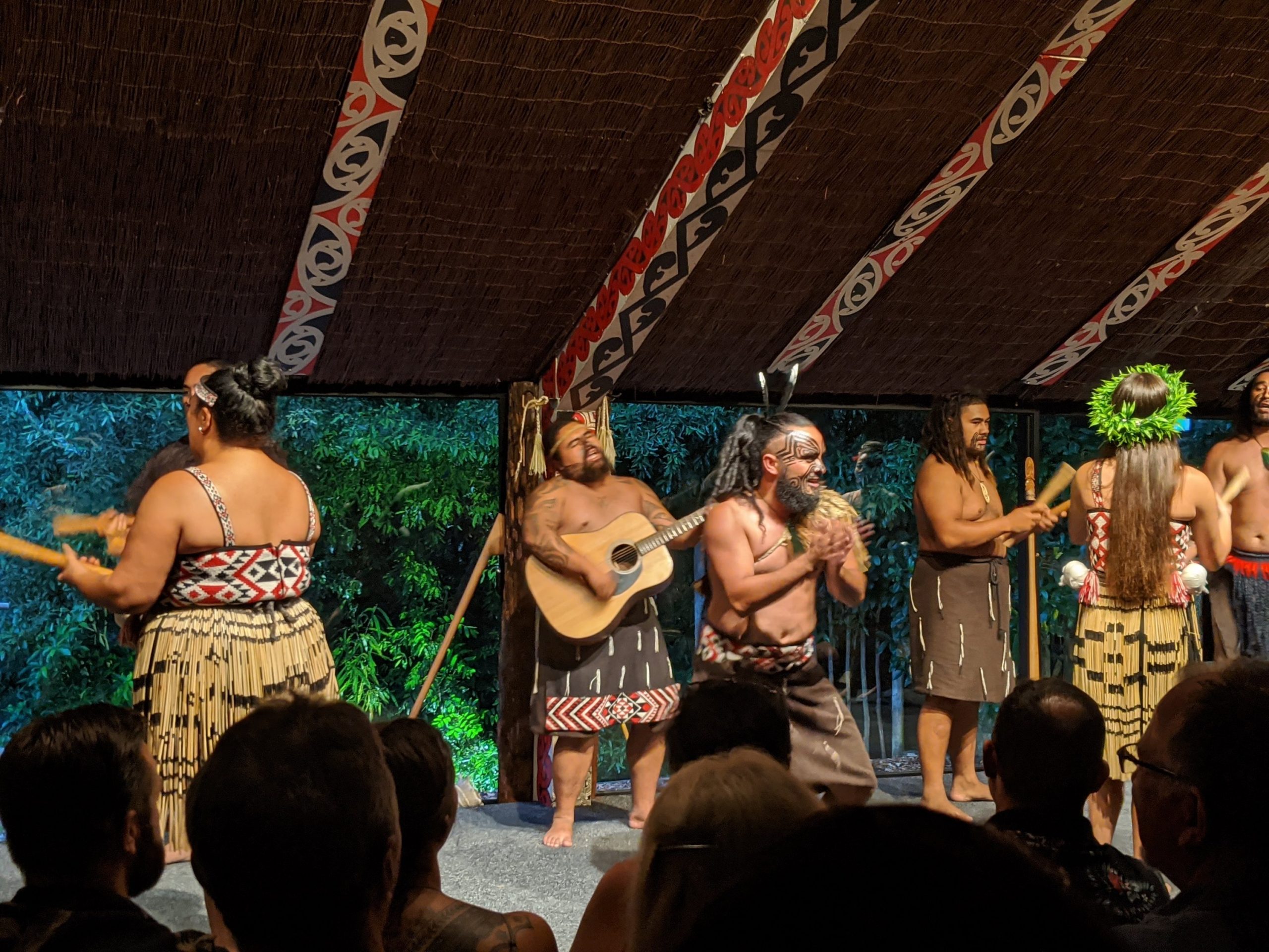
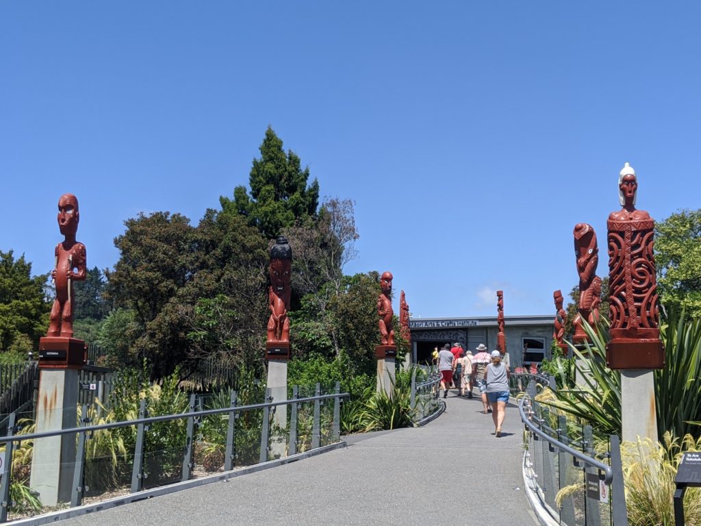
We booked tickets to the Tamaki village. They pick you up at your hotel and take you to a visitors center in town for a brief introduction of Maori legend. On our tickets was a name of a tribe. Ours was Tui. That is the bus you ride. Each bus chooses a make leader to be chief and they are briefed on the opening ceremony. We also practice Maori phrases like: “Kia ora” (hello) and “ka Pai” (okay). The bus driver was hilarious.
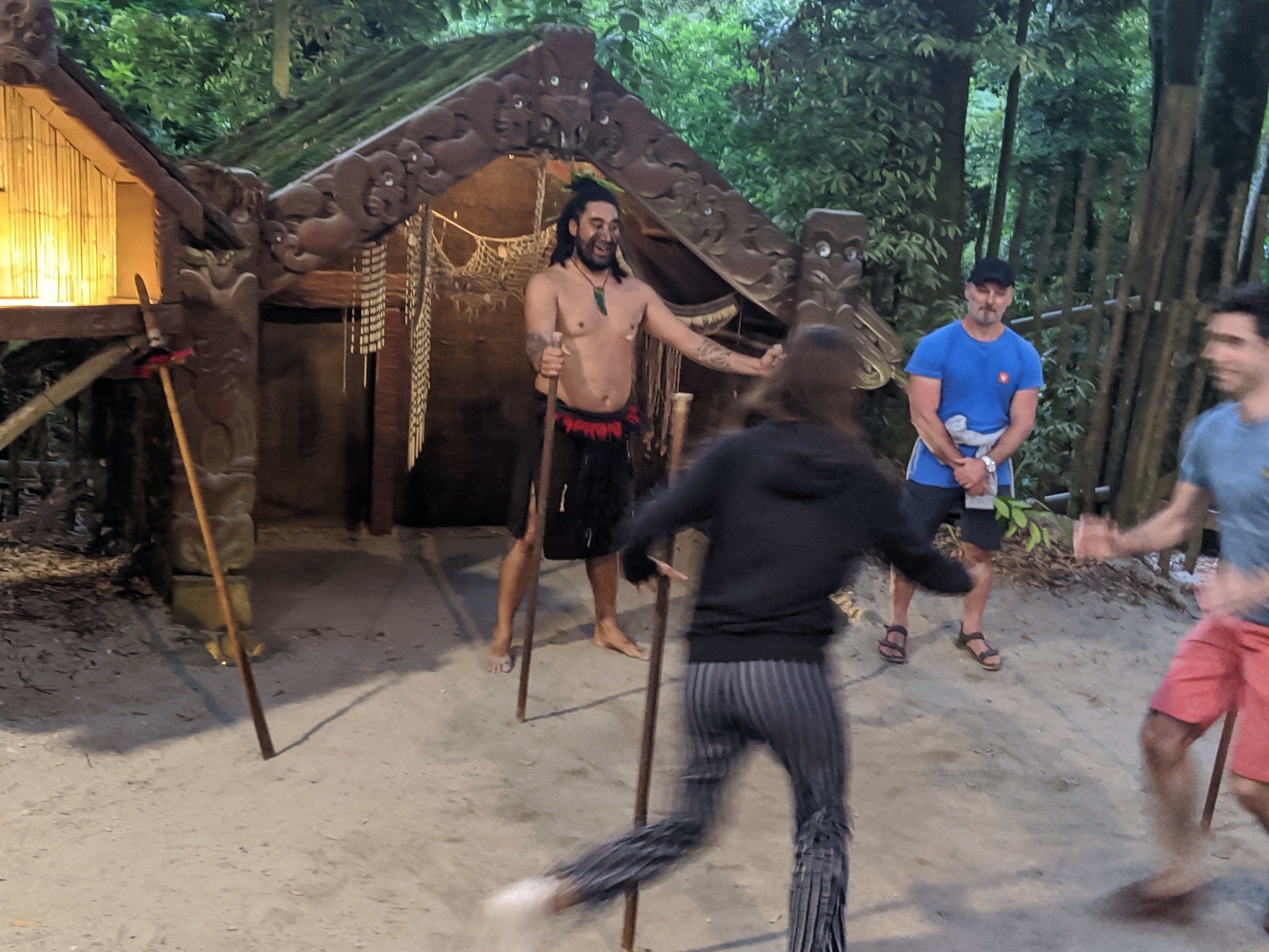
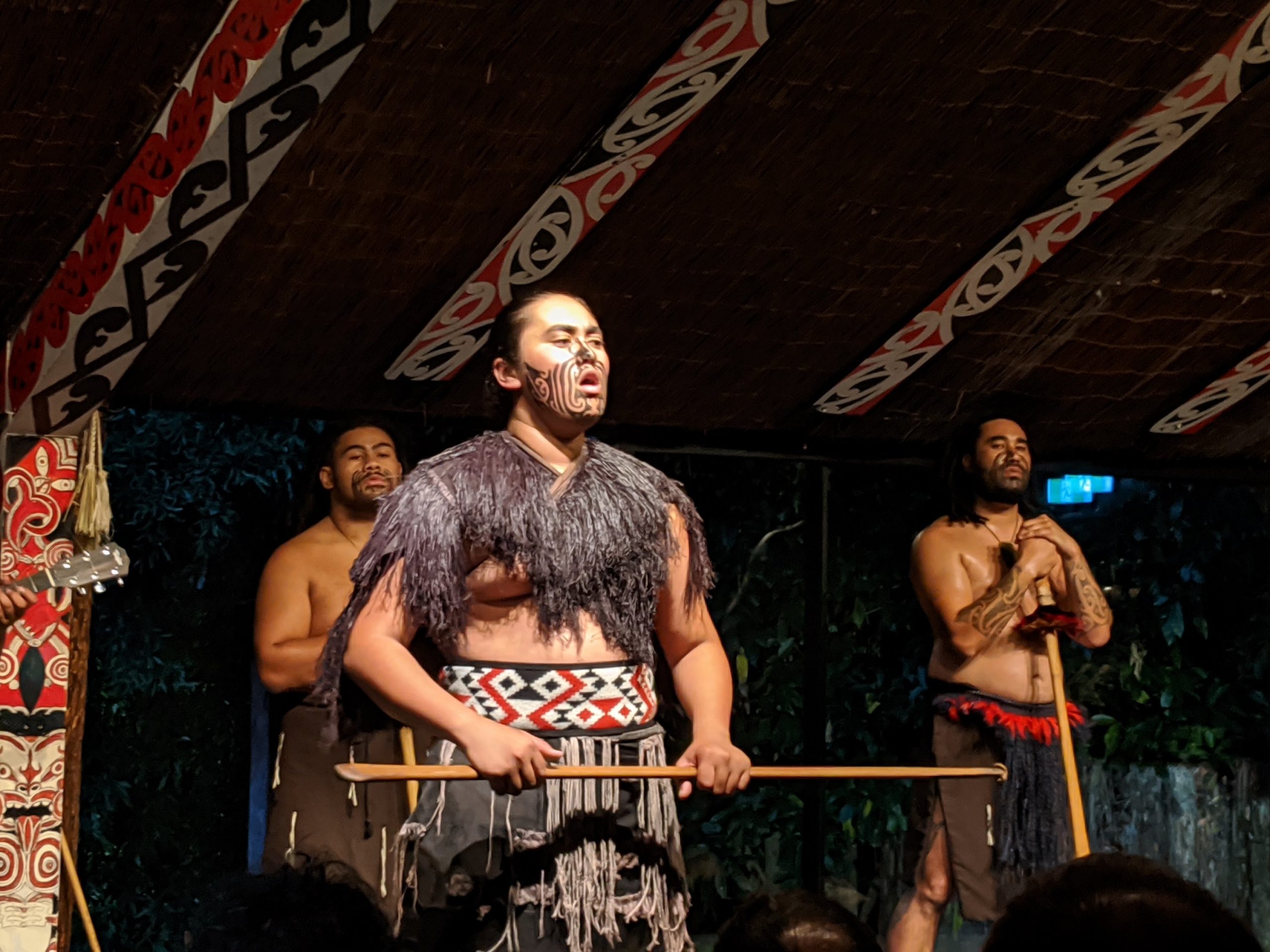
Out at the village, the chiefs stand in front and Maori warriors do a trial dance as a challenge. When they drop a leaf in front of a chief, they pick it up and they have been accepted.
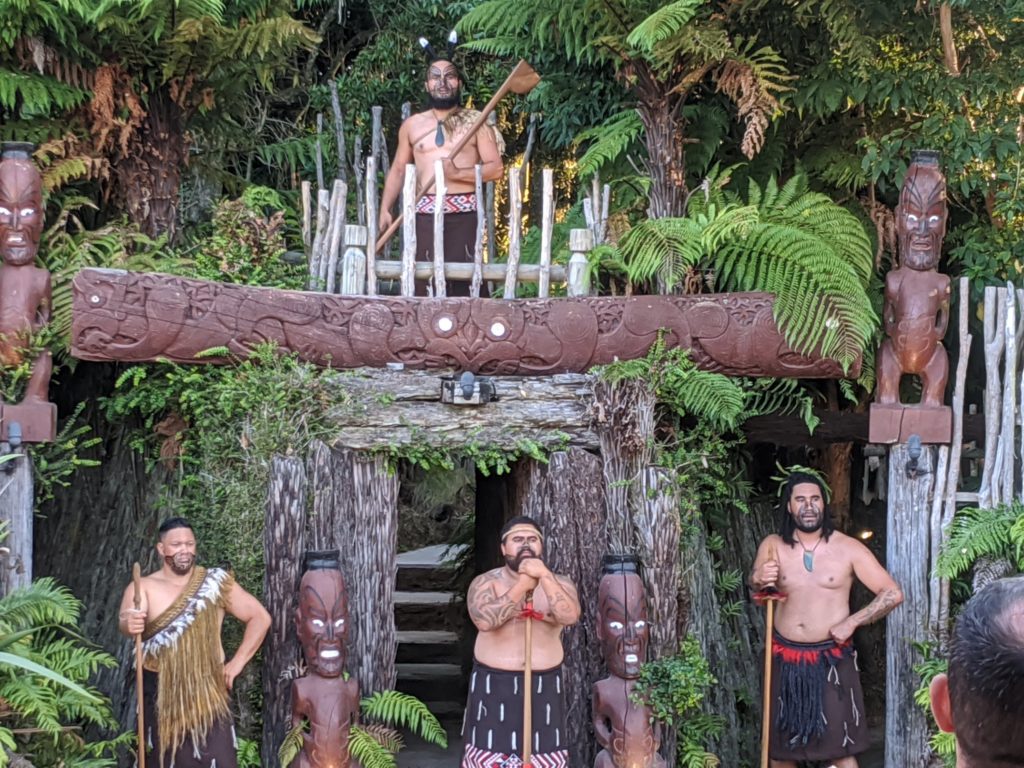
After the ceremony the Tamaki chief welcomes all to enter the village.
The chief is at the top.
We follow our chief from the bus into the village and stay together as a group. The chief can pick the people who will volunteer in the learning experiences. They were very informative and humorous.
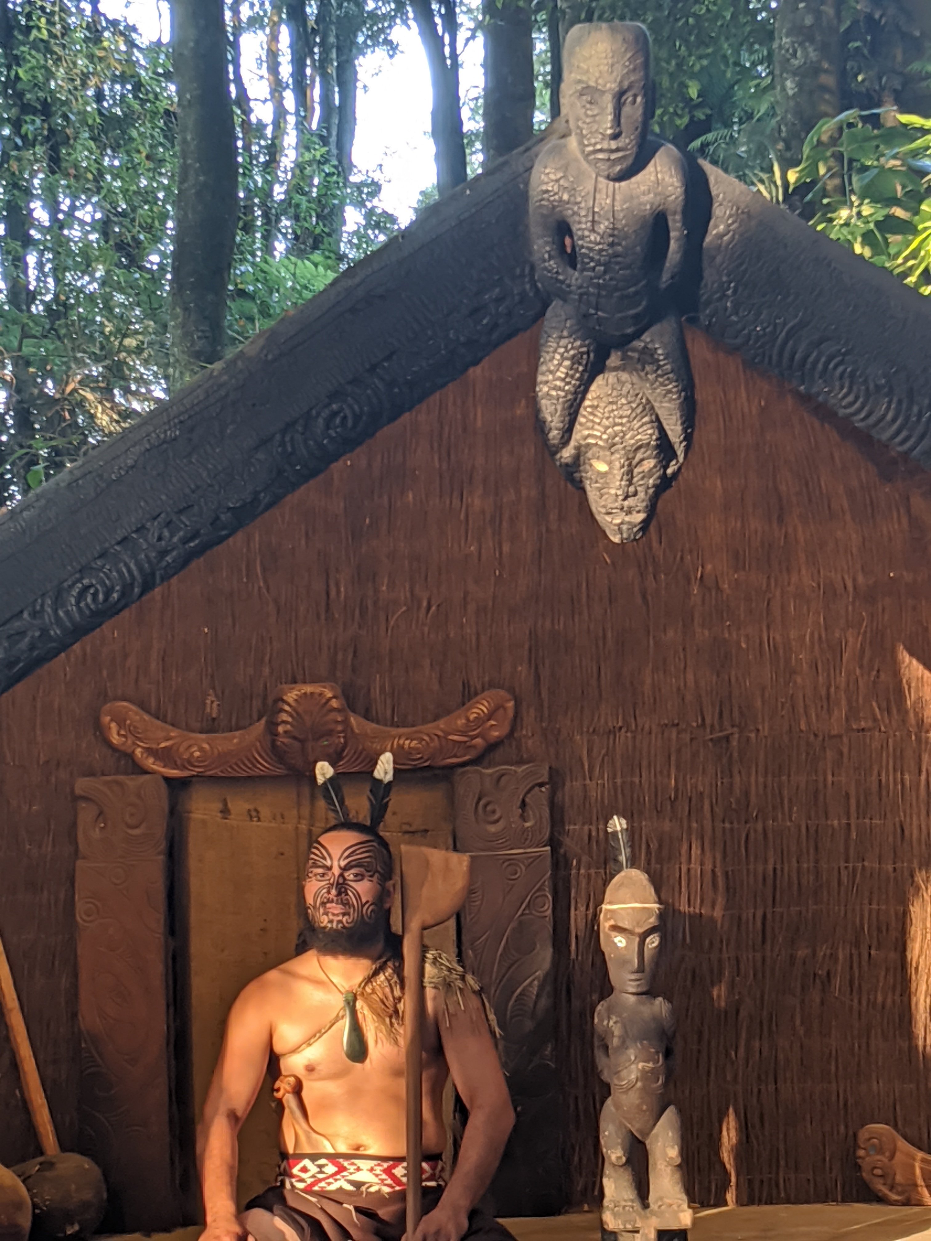
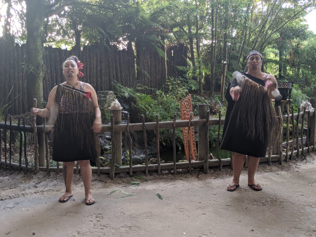
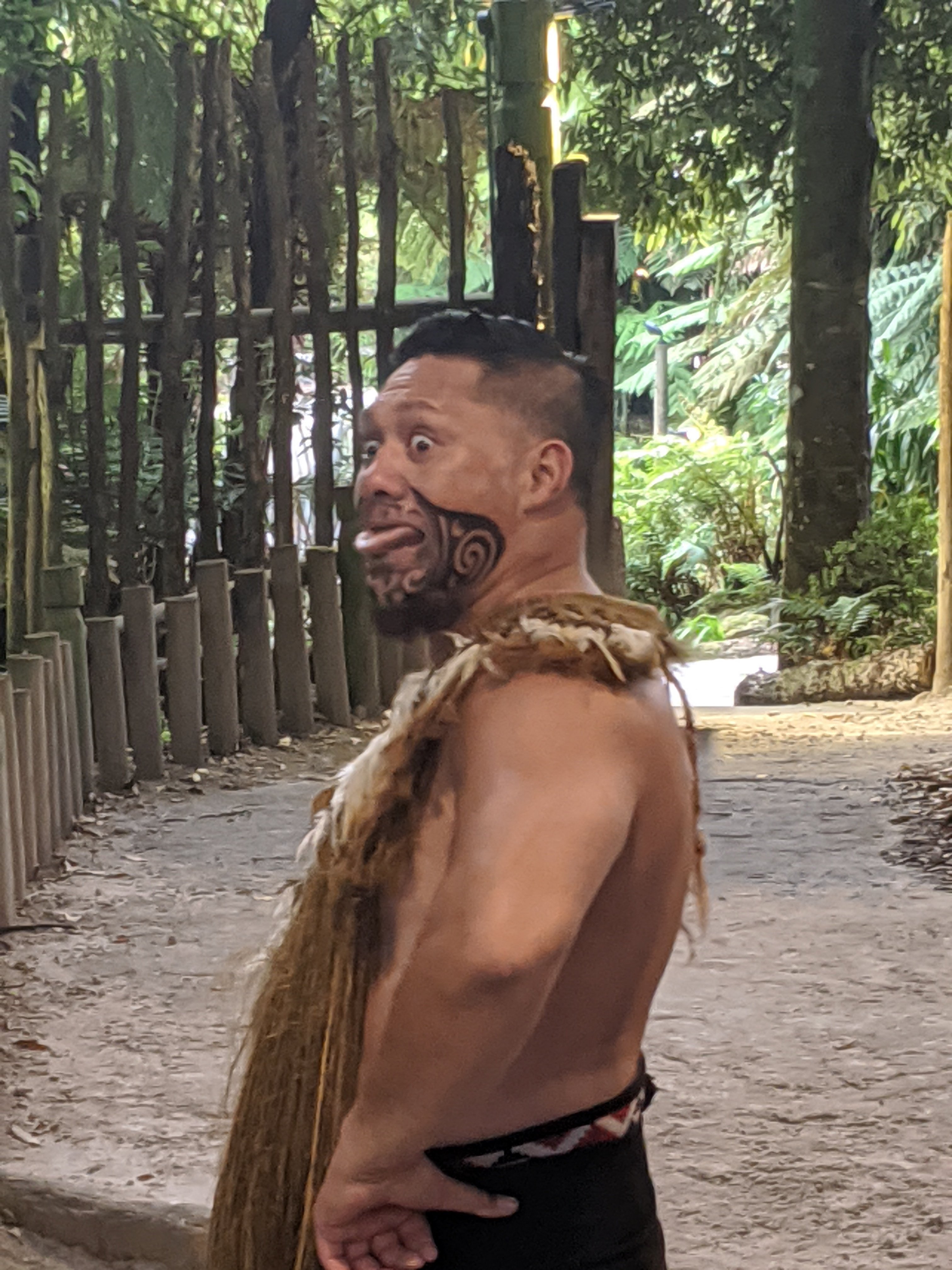
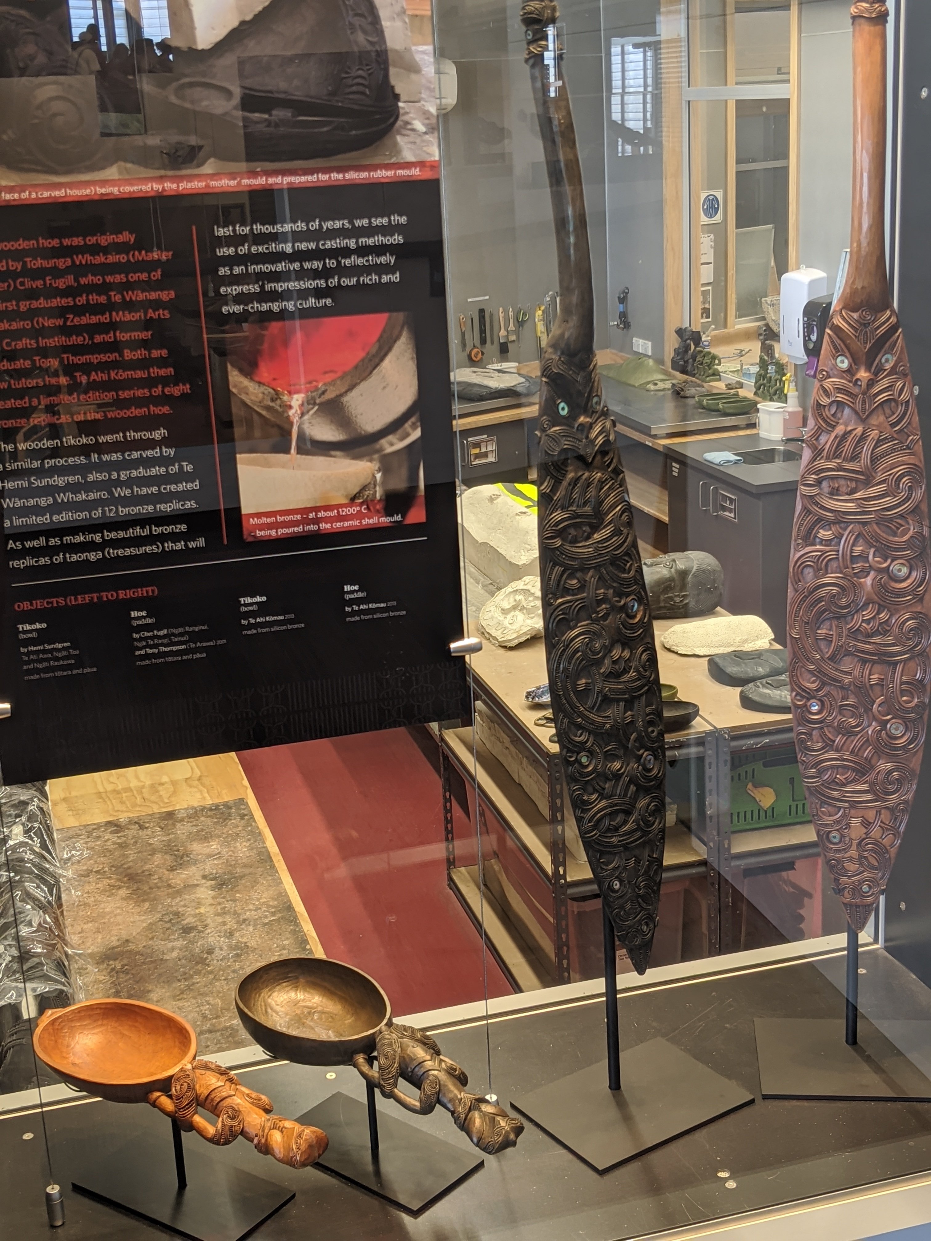
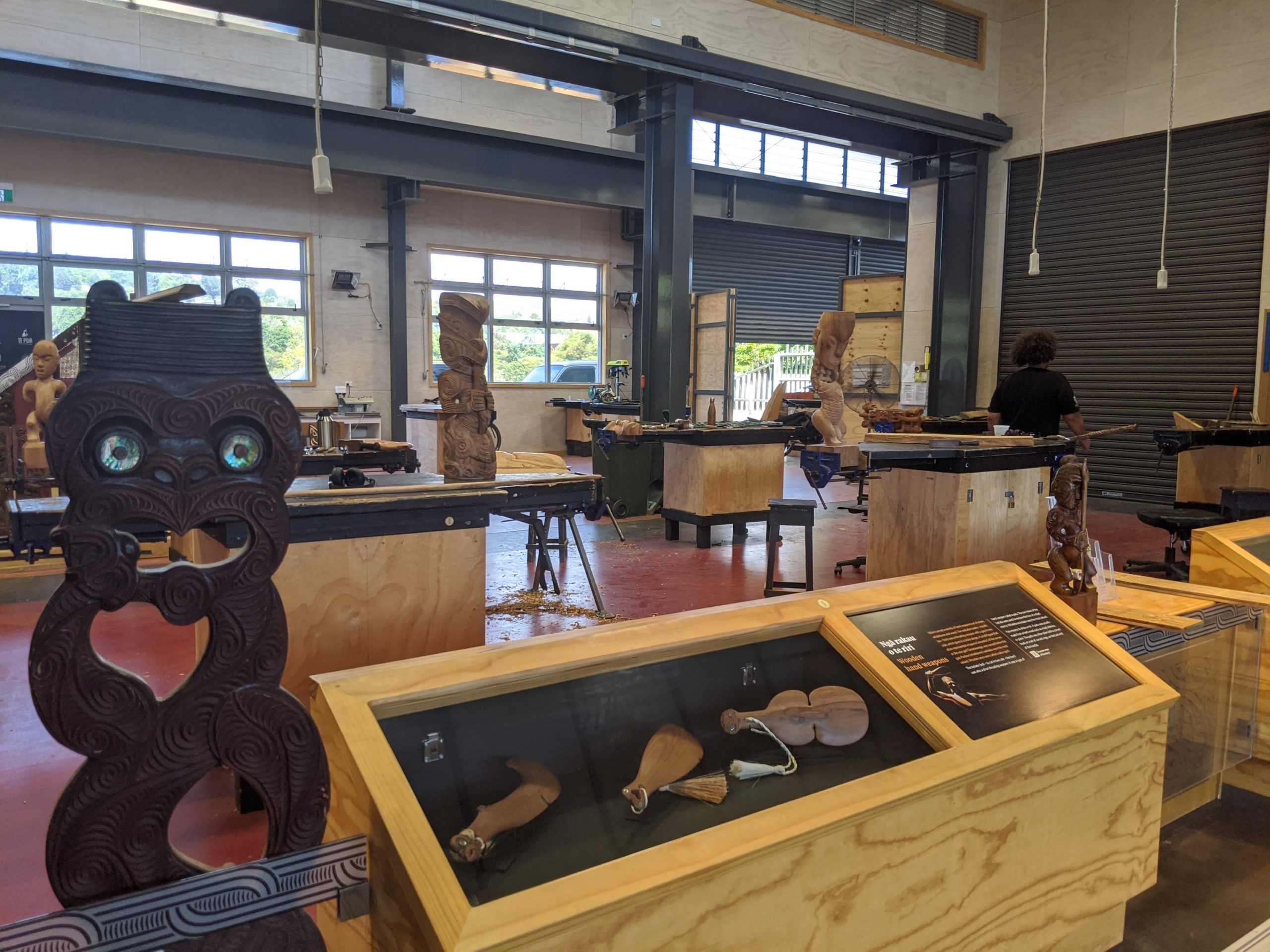
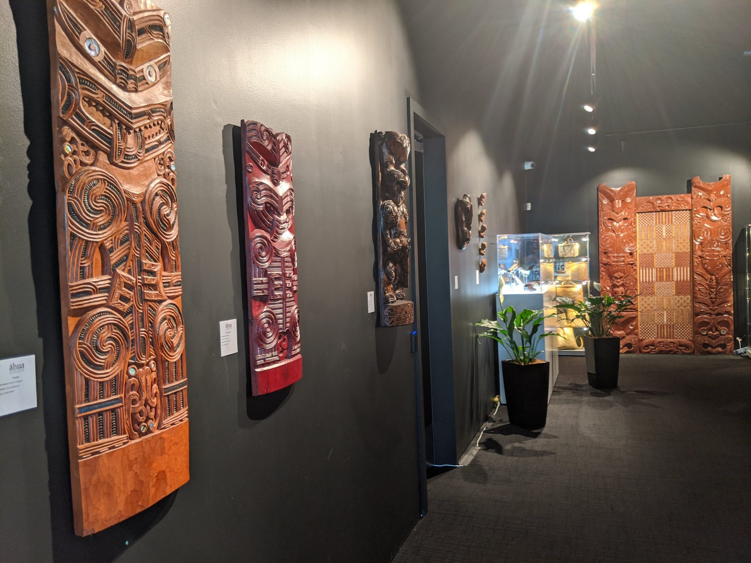
Here we learned about wood carving and what they mean as well as the tattoos that they have. They used to be permanent but not as easy to integrate in society today. Tattoos originated with the Maori who went on to be indigenous people throughout the Pacific.We learned about storytelling through dance and hand movement. These balls made sounds and they had very technical movements with them. Women were chosen to try their hand at it.Flax is used to make baskets with the leaves and they showed how they step the outer lead off of the fiber inside.We learned about games that taught hand eye coordination as well as moving of the hands and the arms to make them strong to handle weapons. People from our tribe were chosen to participate.We are outside in the village and it was just beautiful.They tried reaching all the men in our pretend village the haka dance. Pretty funny. The real dance is on video below.Entertainment before dinner.A love song about a separated couple.
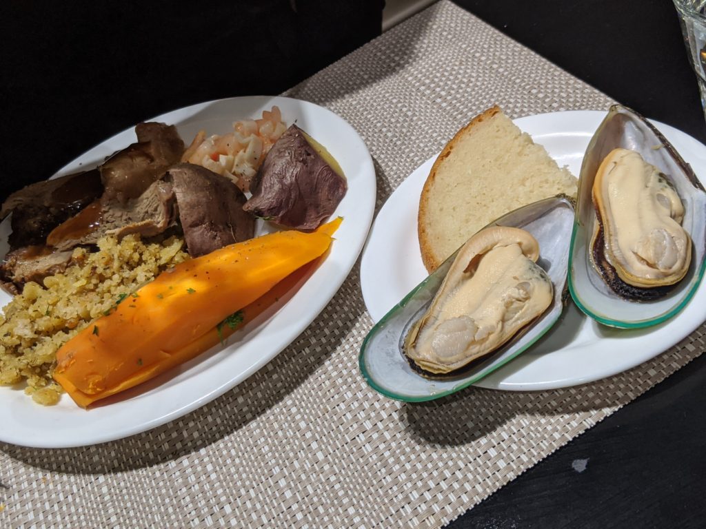
We ate a Hangi dinner which was cooked under the ground usually but for us in steel bins on to of the hot Earth. It had a wood fired taste to the food and was delicious. They had lamb and chicken which I did not eat but also had mussels and fish. We also had pavlova and honey called for dessert.
On the way home the bus driver was hilarious singing songs like wheels on the bus… At one point he kept going around and around the round about while he sang!
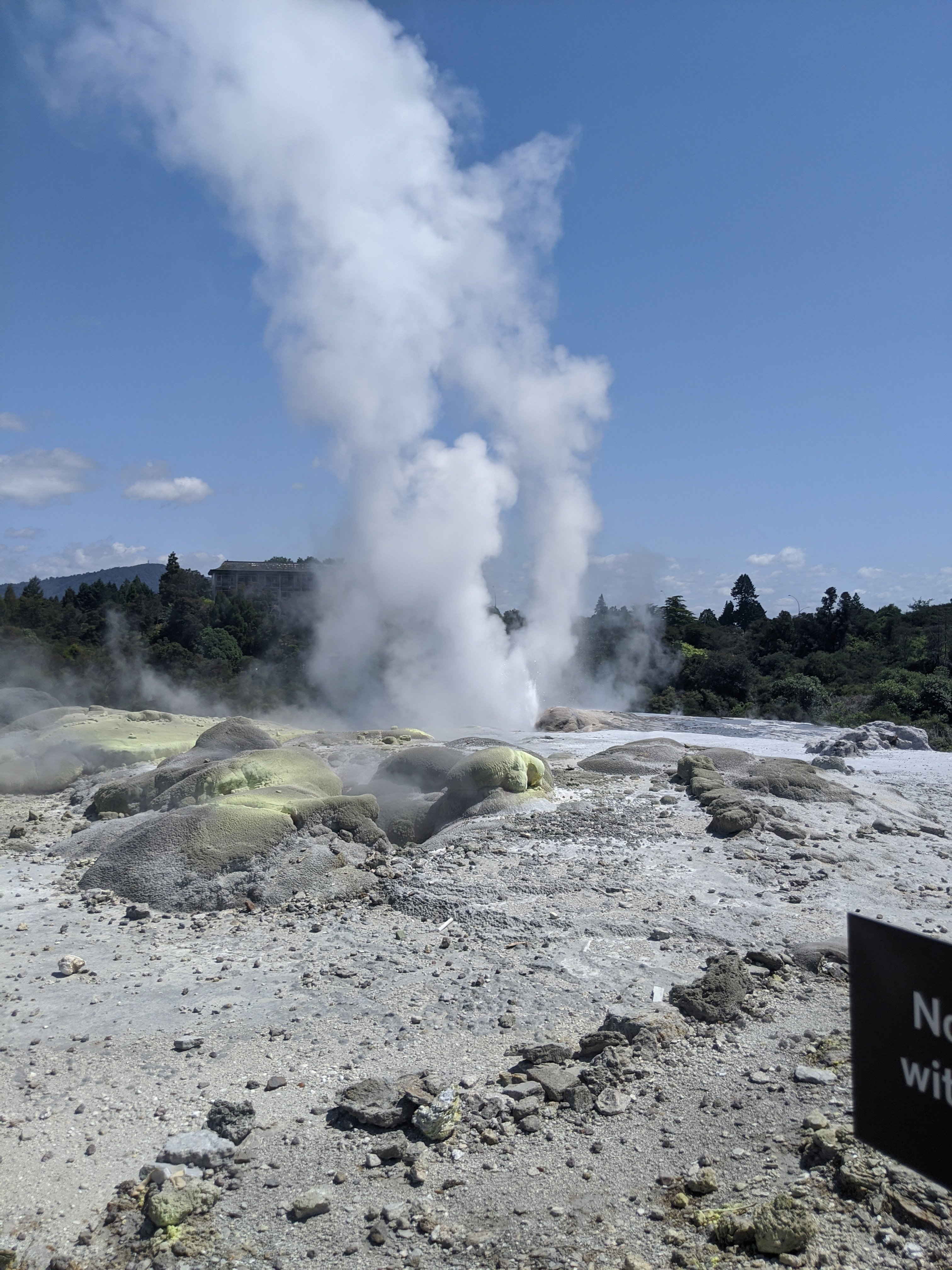
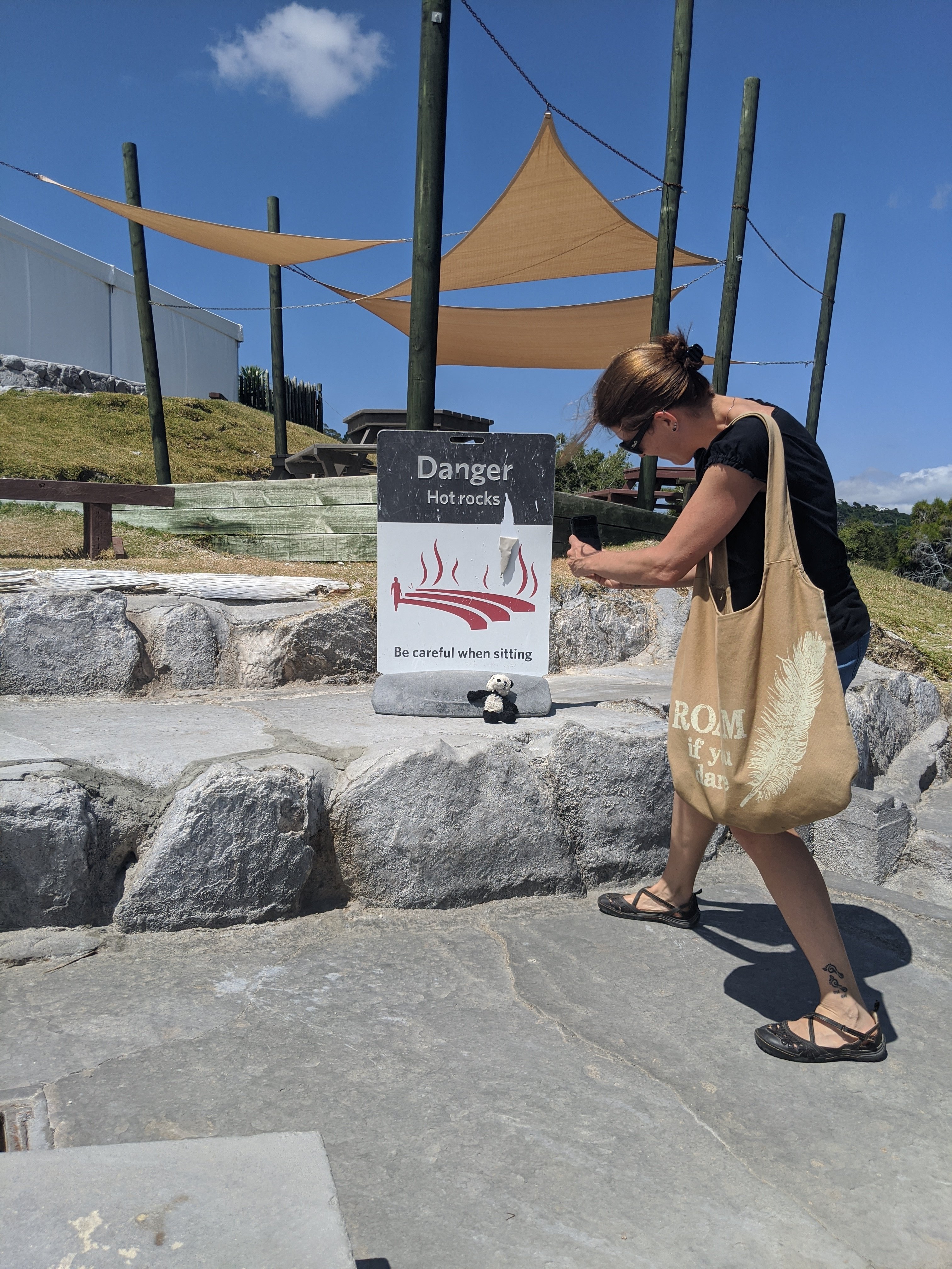
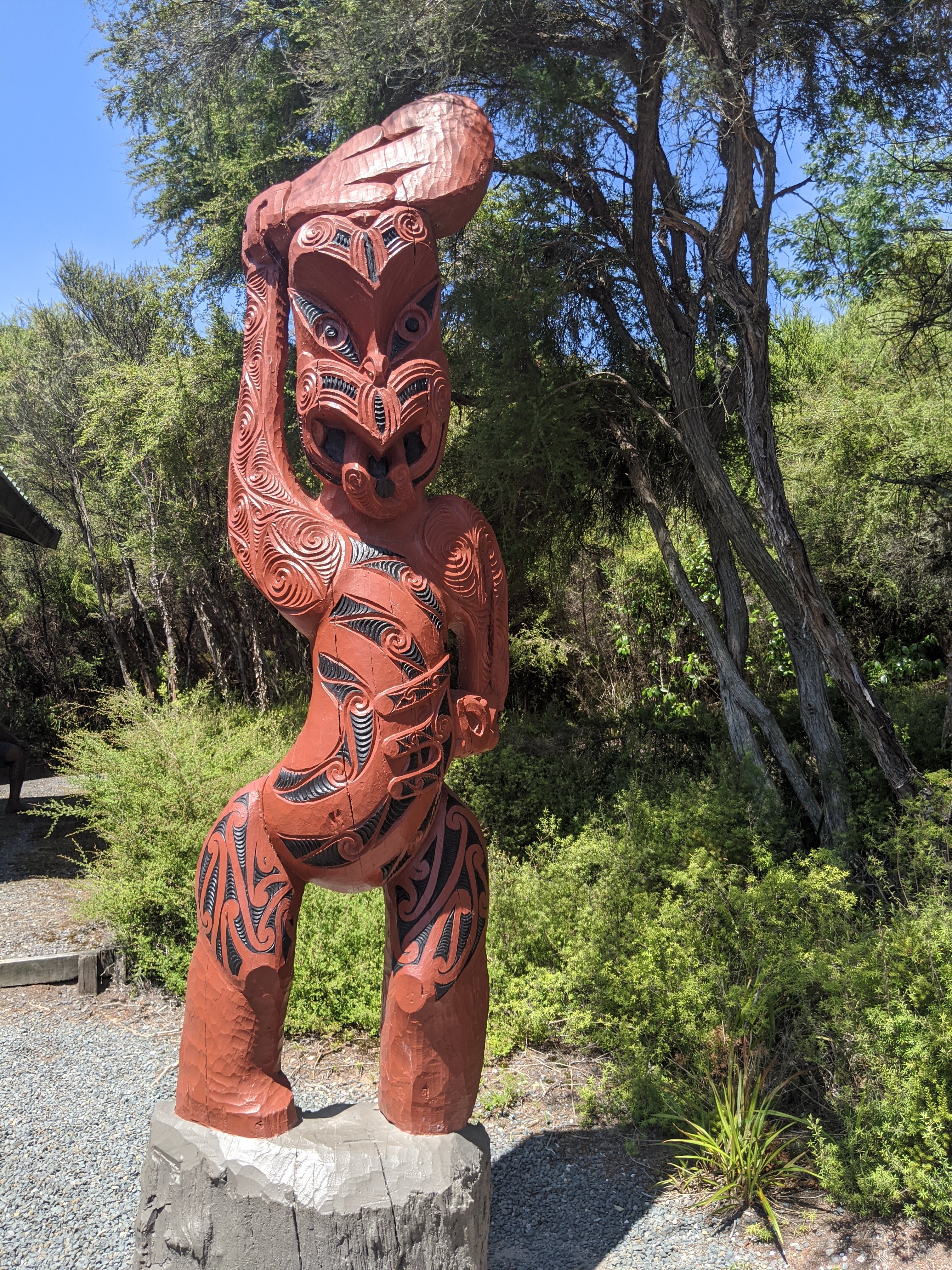
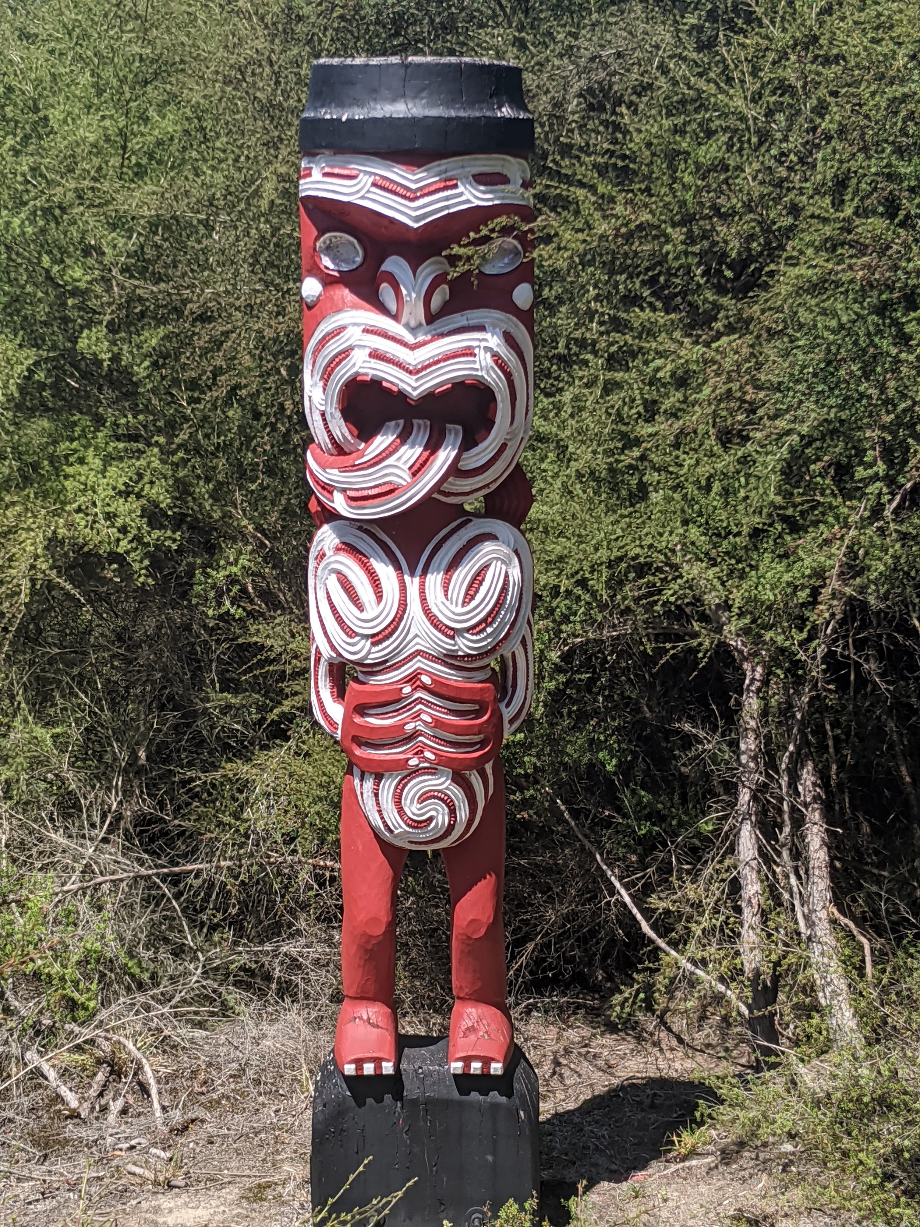
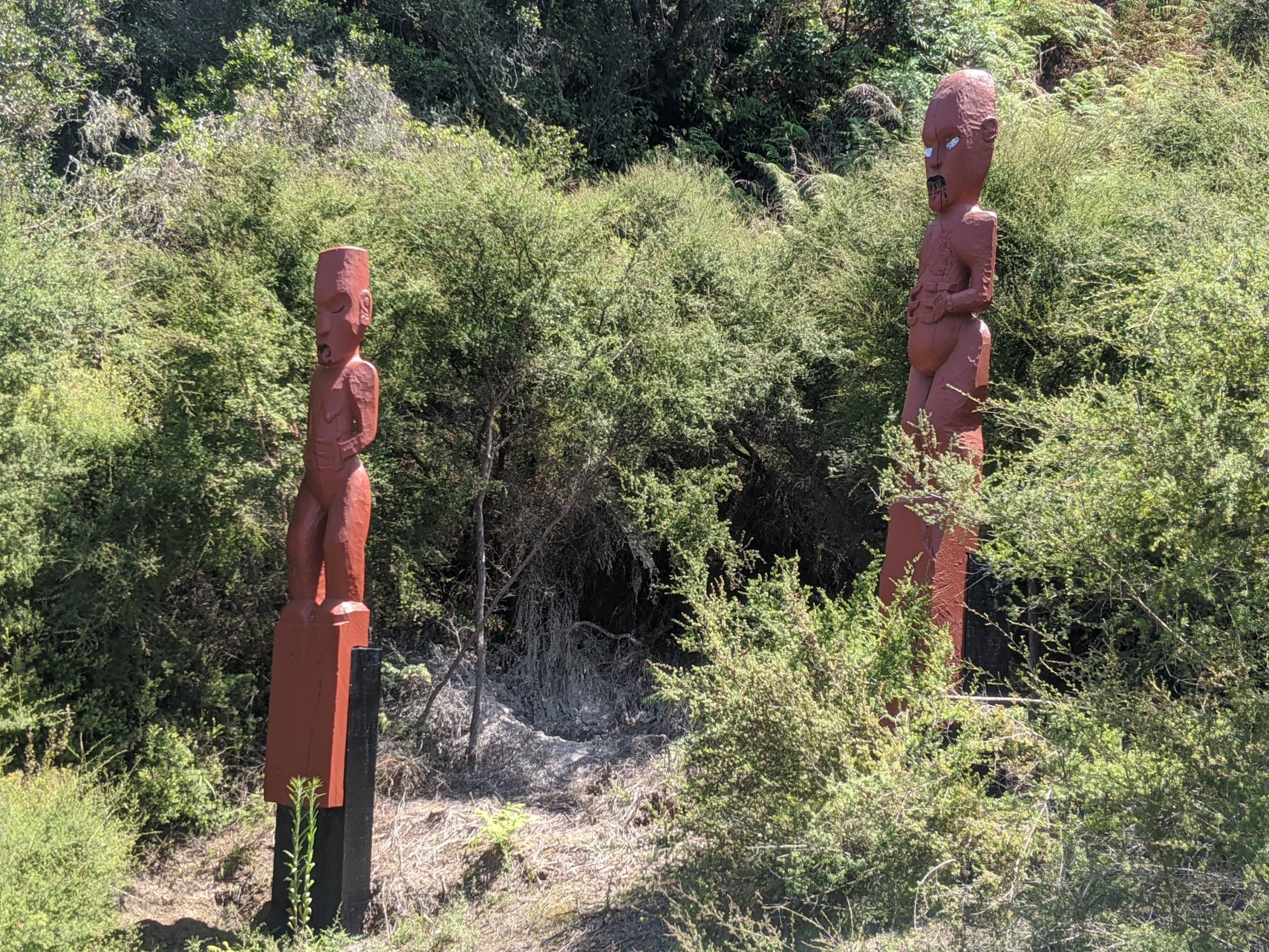
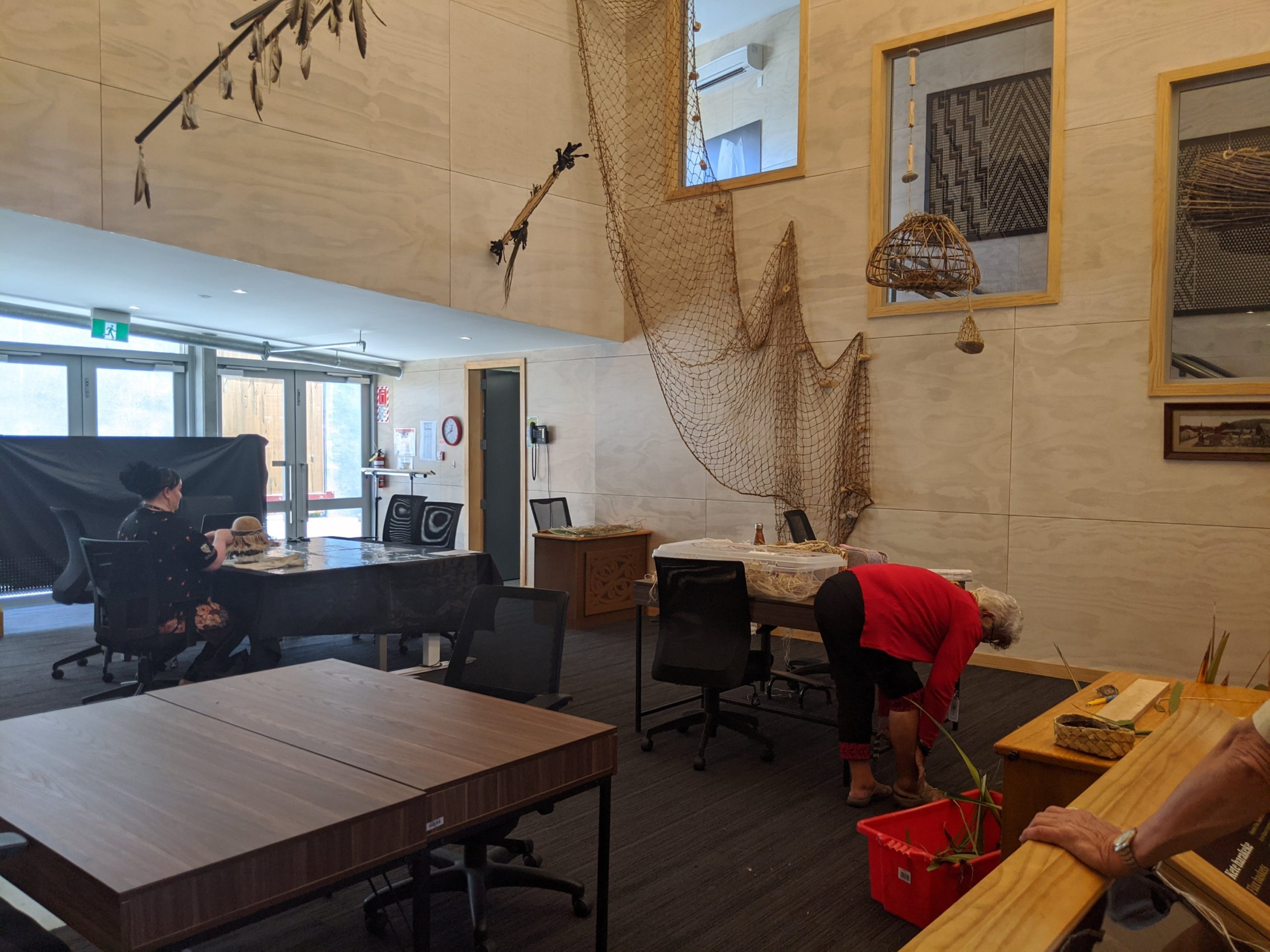
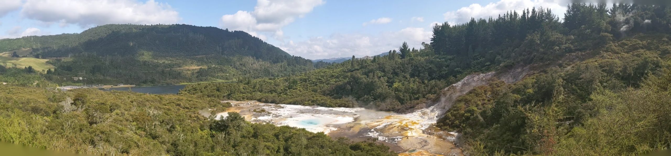
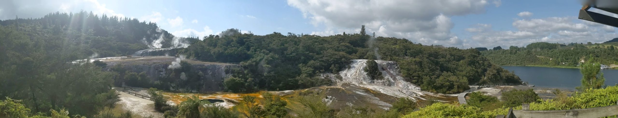
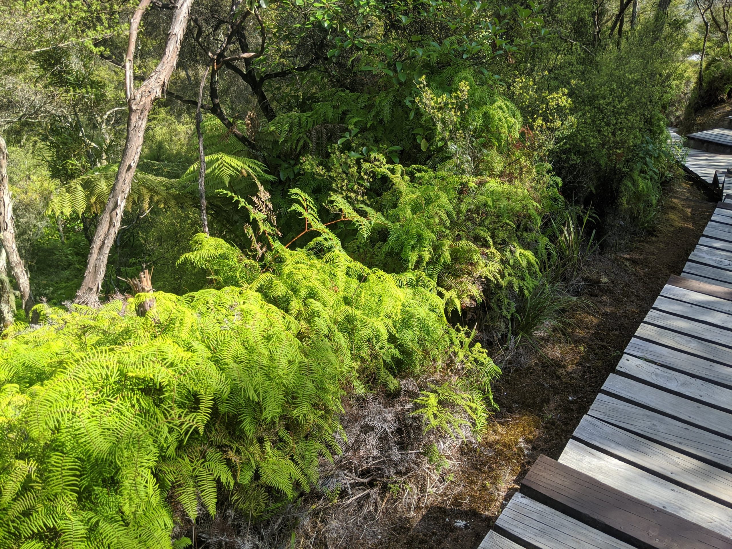
This center in Rotorua has hot springs, geysers, and mud pools as well as Maori statues, arts, and culture.
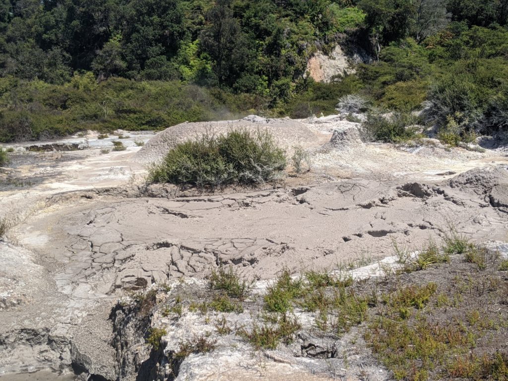
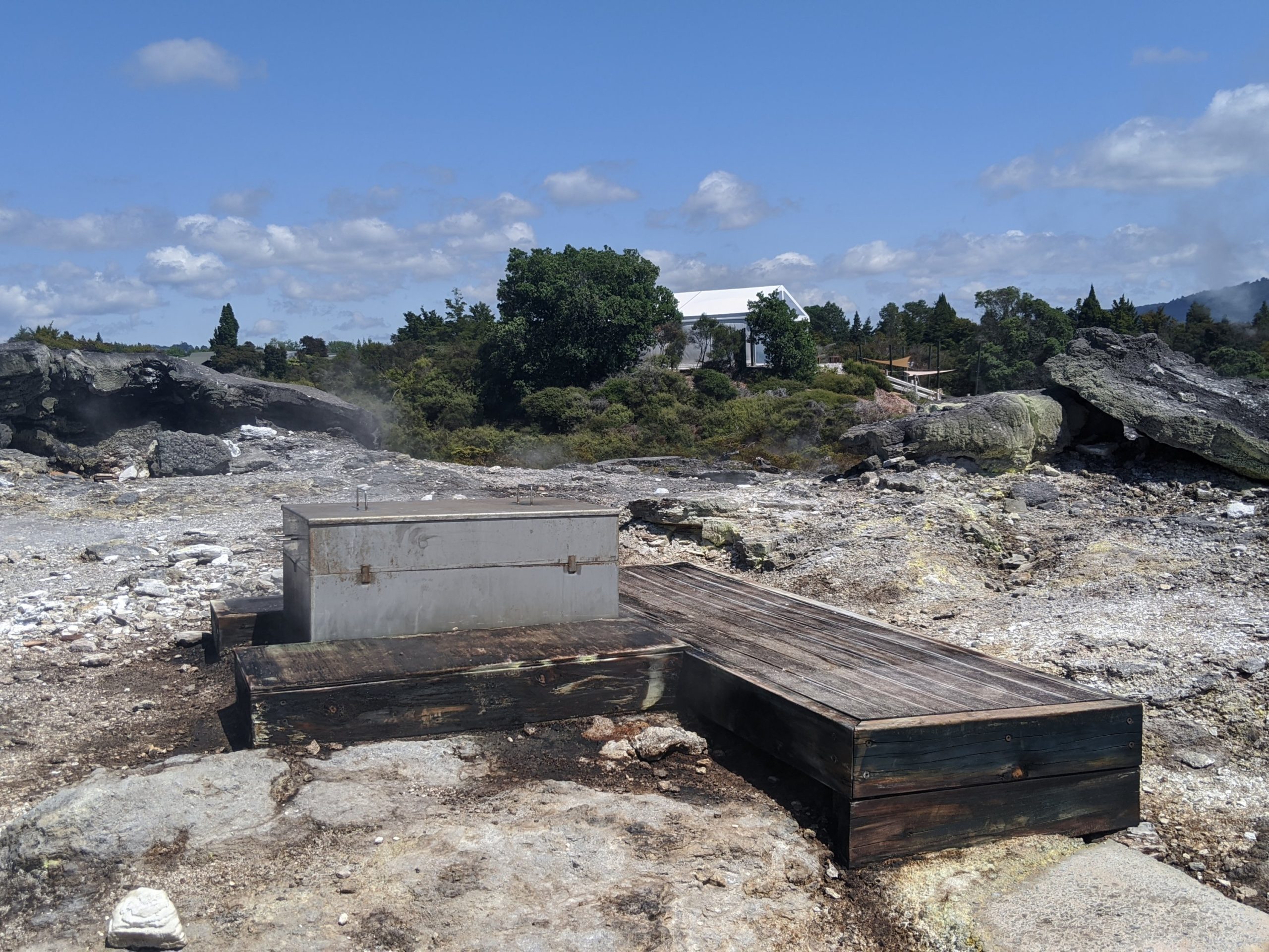
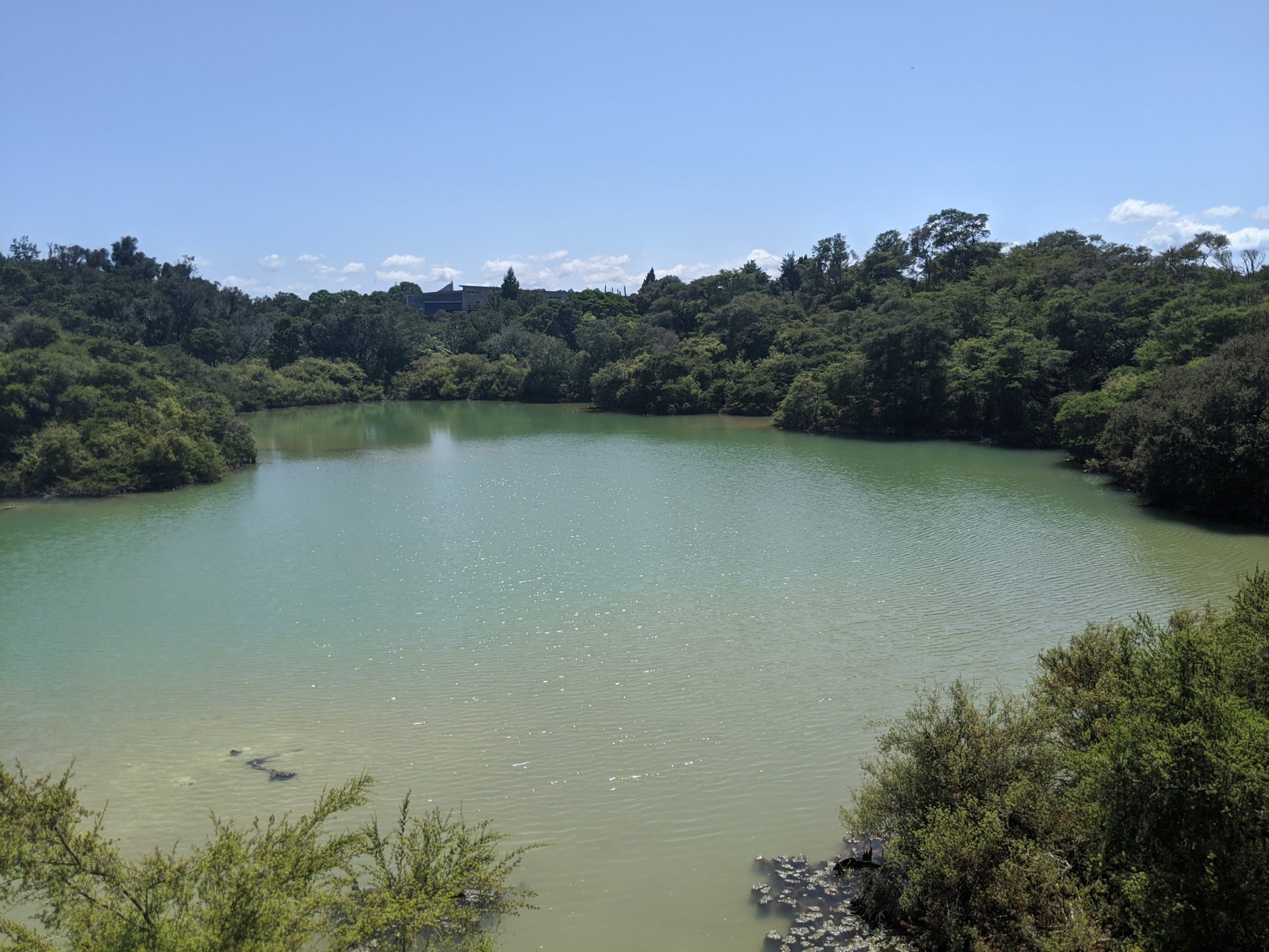
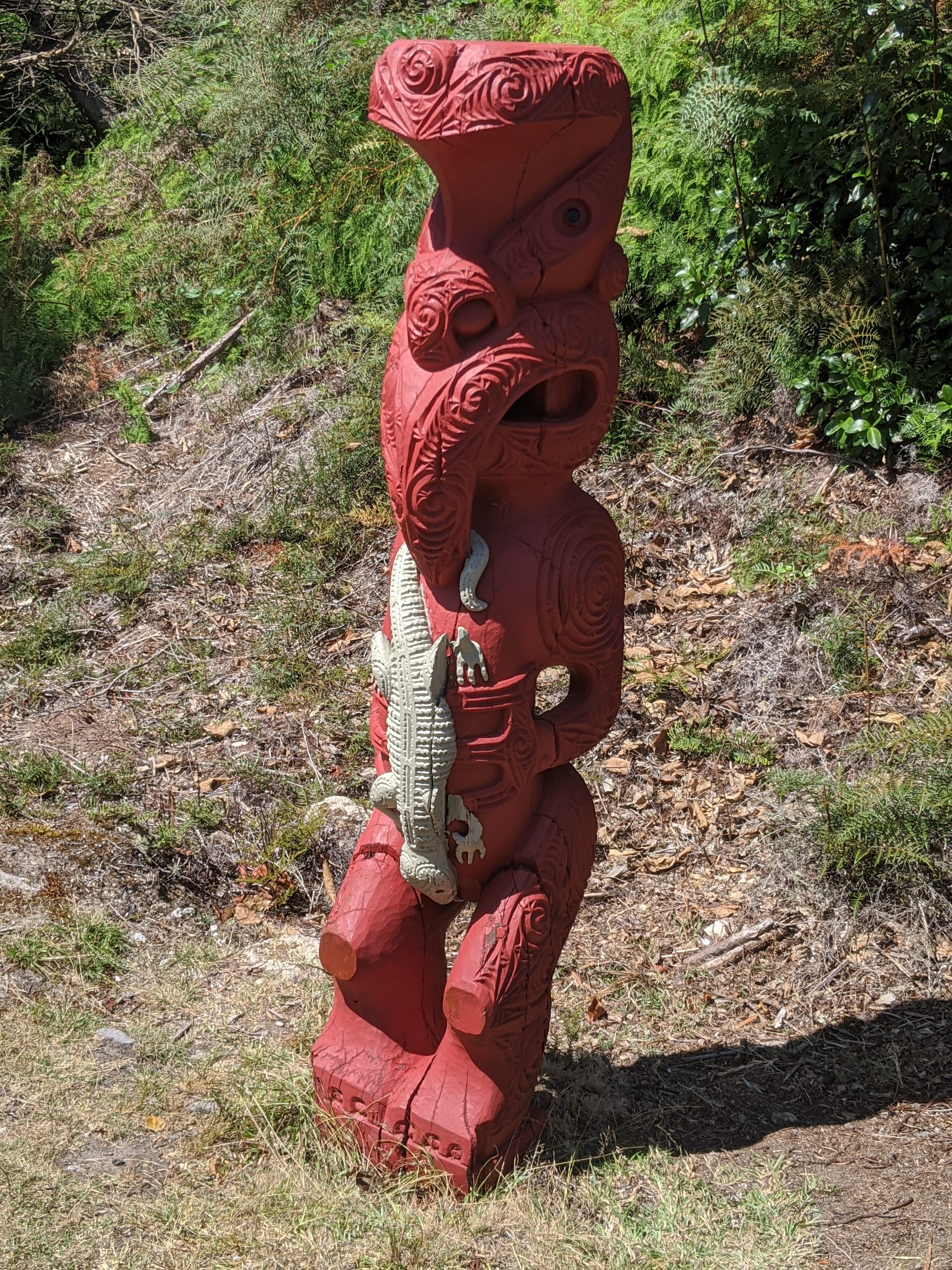
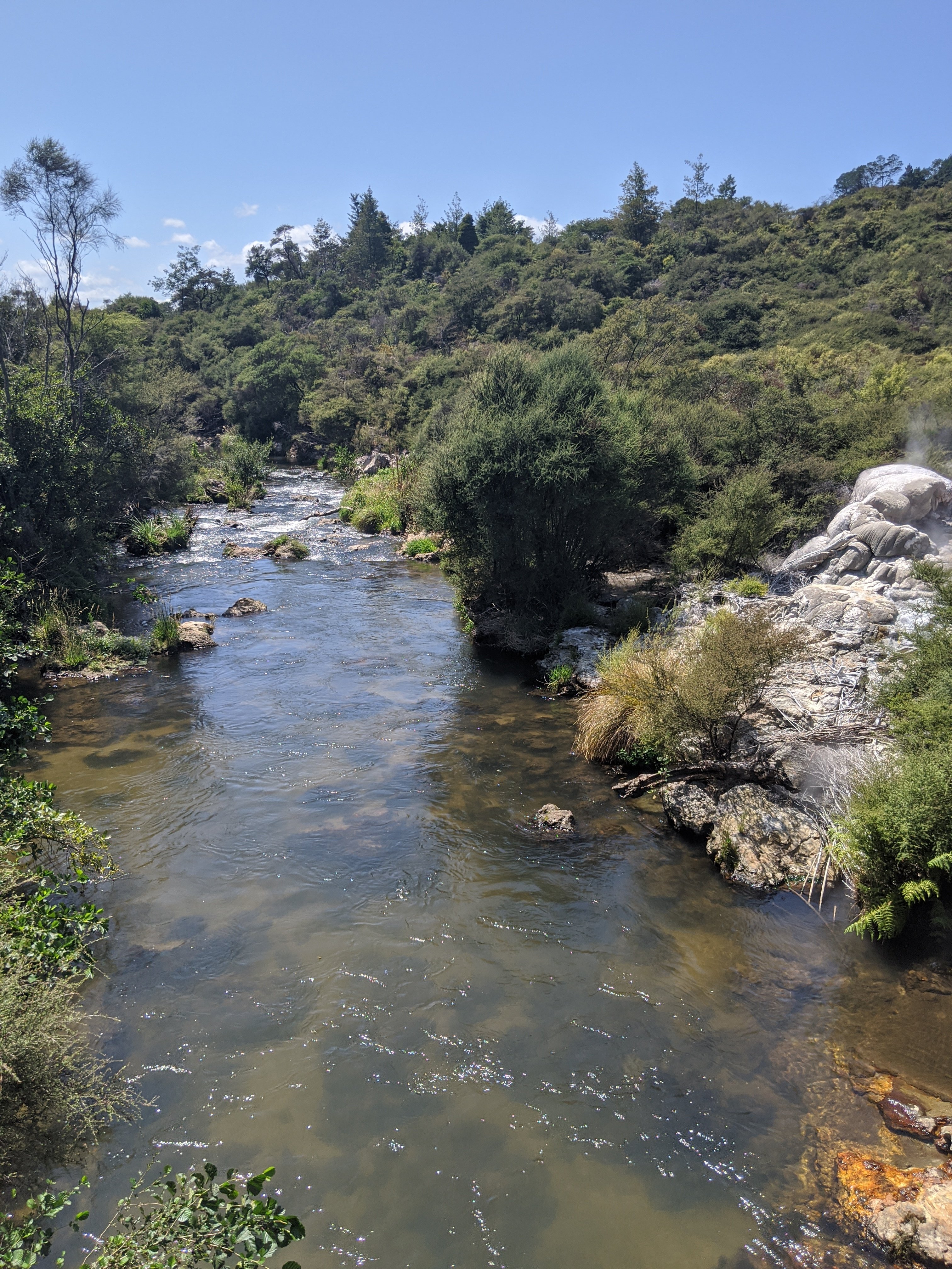
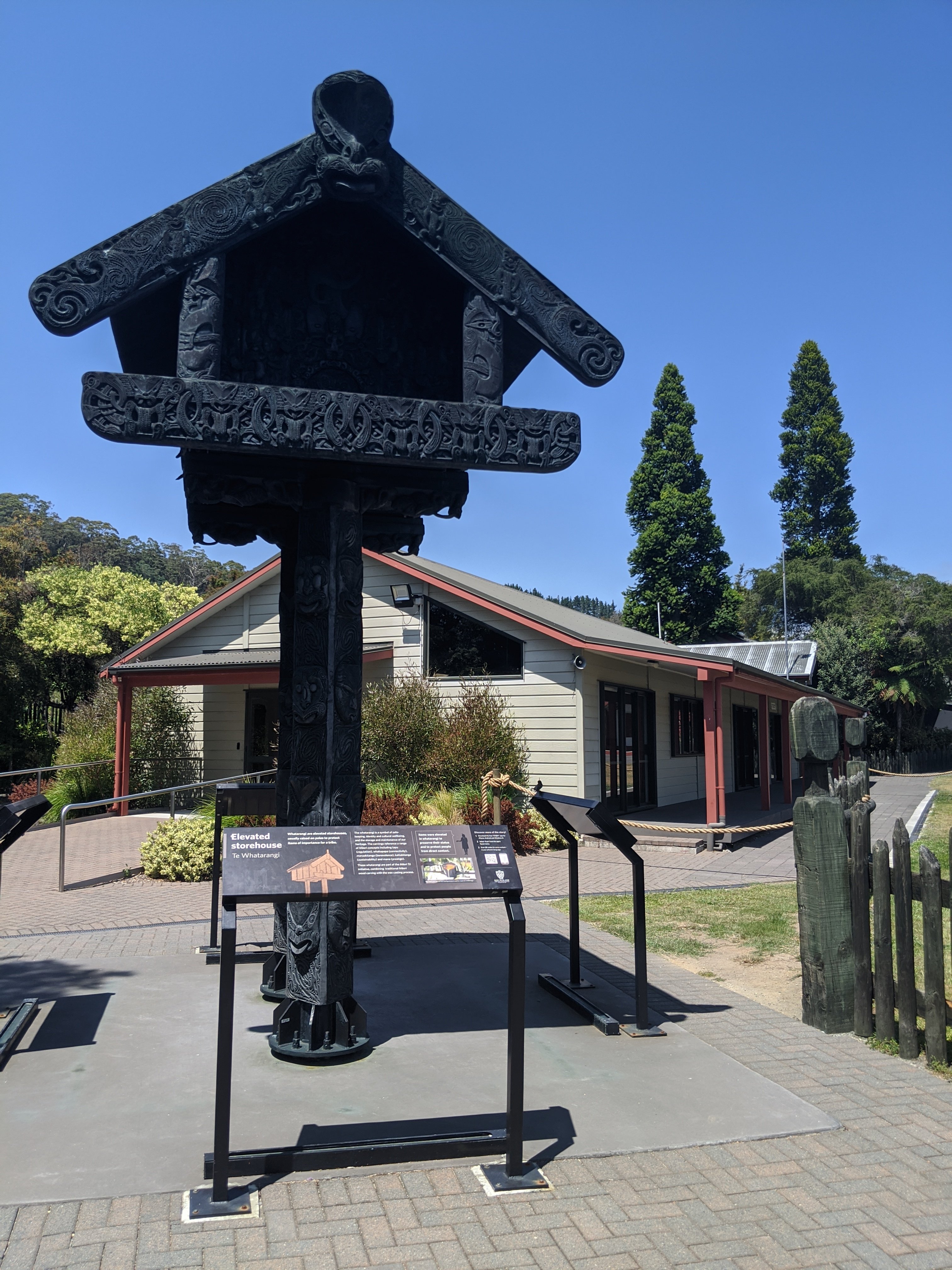
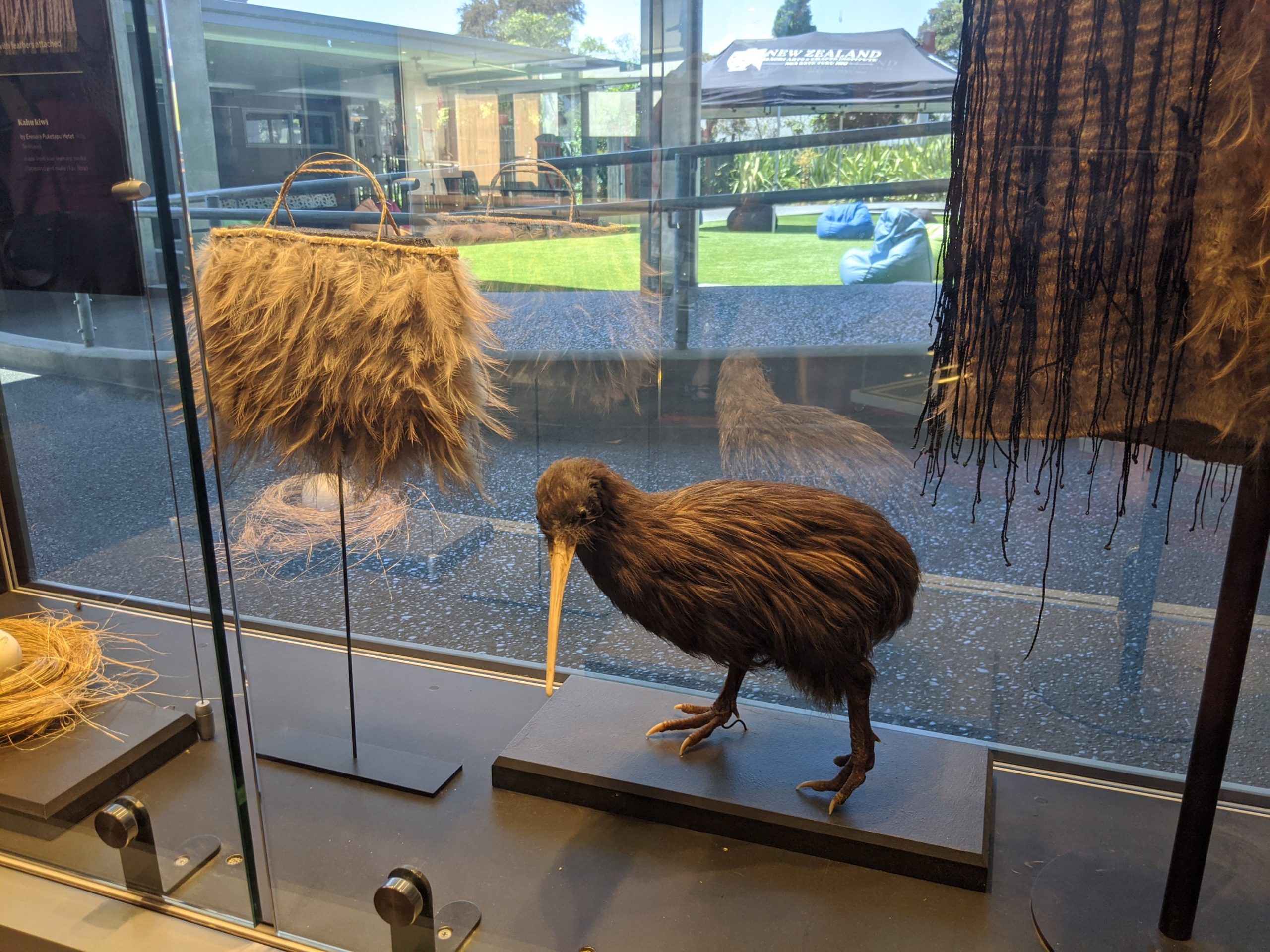
In front of the active geyser Pohutu.Be careful when sitting! These are active vents and warm stones.Mud pools.This is a natural stream vent cooker that the Maori uses to cook food. Our food tonight will be cooked this way. It can cook corn on the cob in 10 minutes. It uses heart from the ground to cook food.Whanaaungatanga statue that celebrates kinship which is essential in Maori.According to legend, this pool was used by leaders of the Maori tribe and is sacred. However it has the pH of battery acid.Puarenga stream. 3 streams feed in here and water quality had declined from industry. Finally water quality has improved and fish have returned. An elevated storehouse used by Maori.The bridge to the cultural center.Women weaving with flax.Beautiful Maori carvings.Some weavings are made to look like the NZ bird, the kiwi. These would take many years to complete.
After touring the center we headed to the Best western Braeside Rotorua. We have a hot tub on a deck. This is a nice place to stay (all places on this trip have been great actually). Tonight we go to a traditional Maori great and dance celebration.
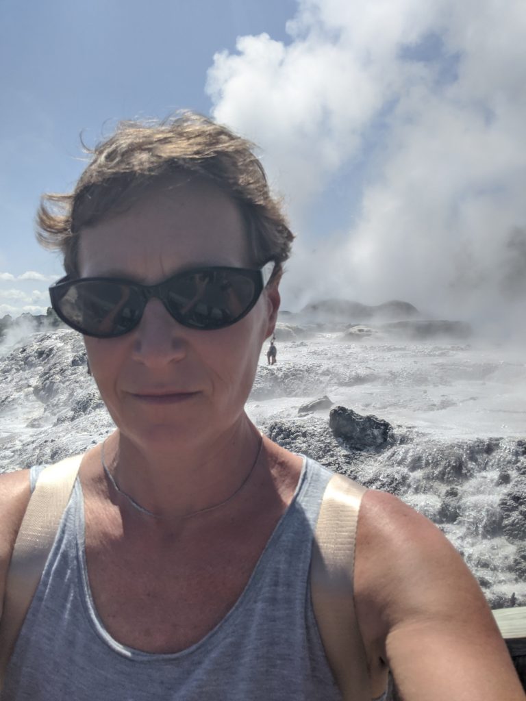
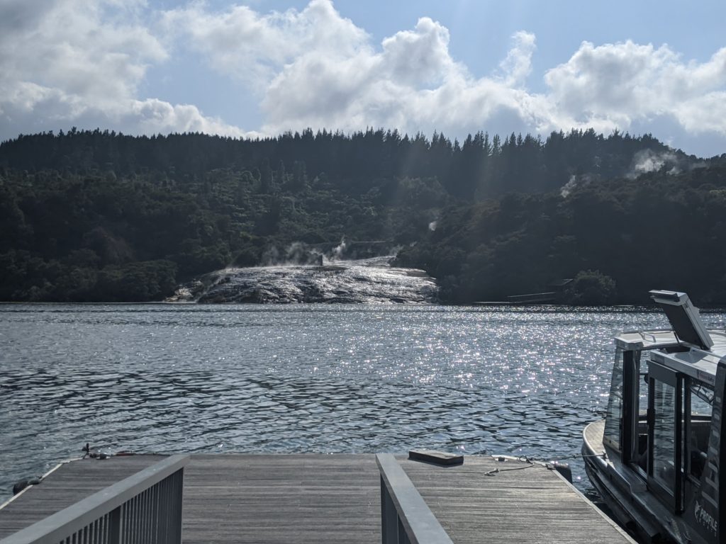
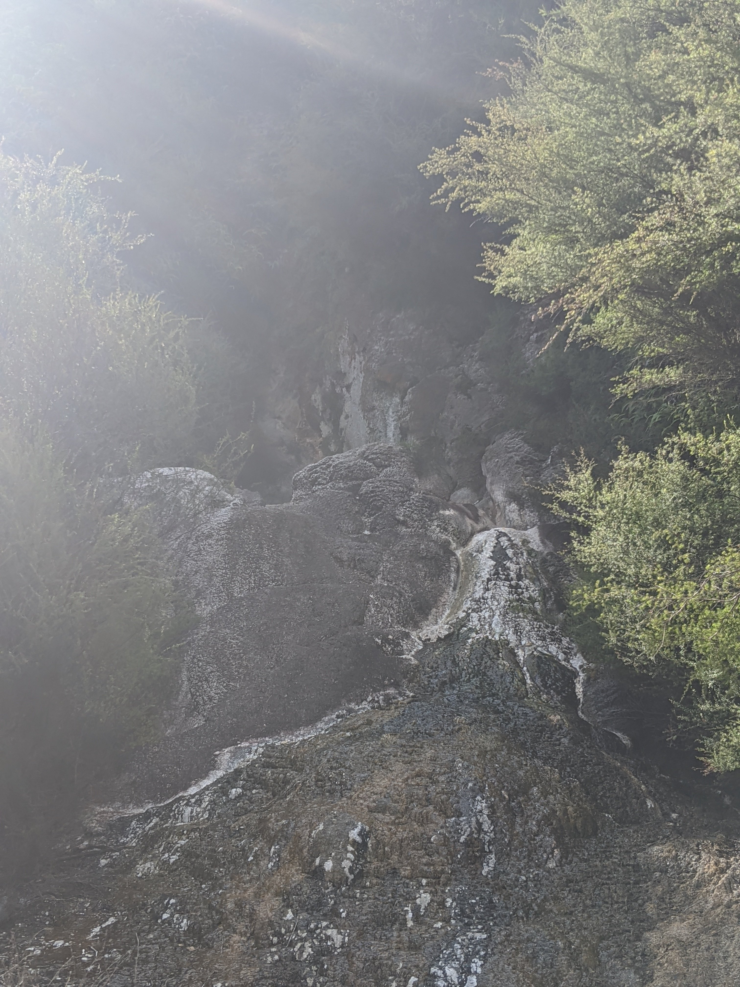
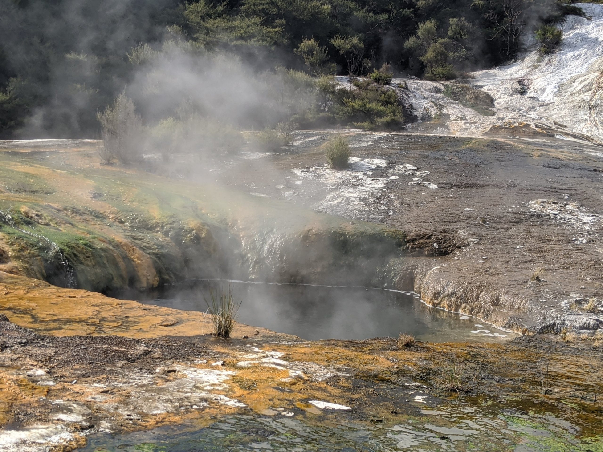
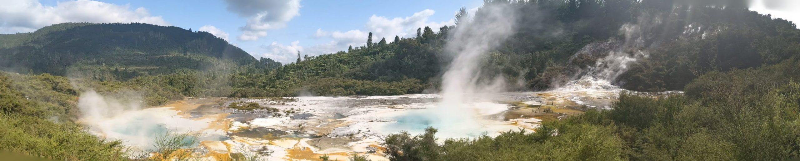
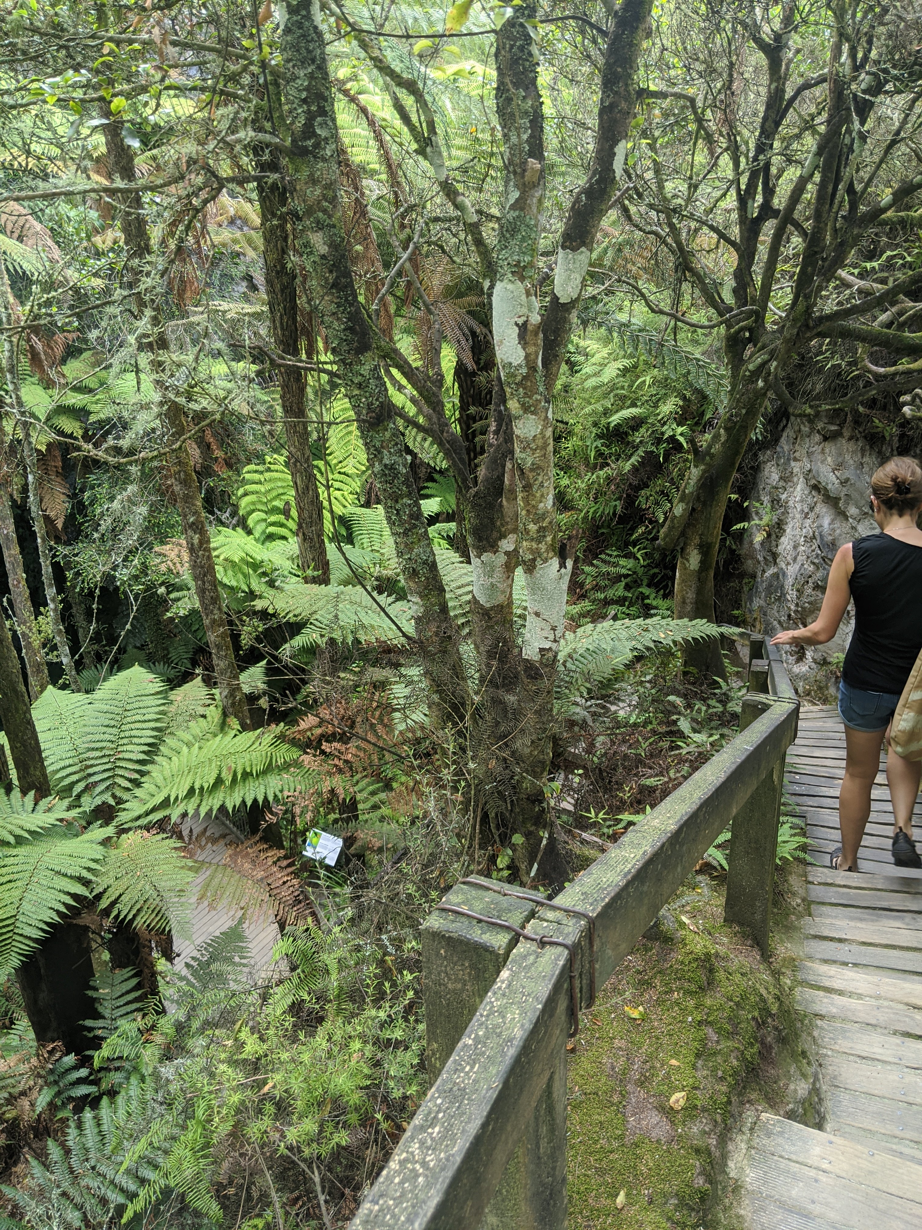
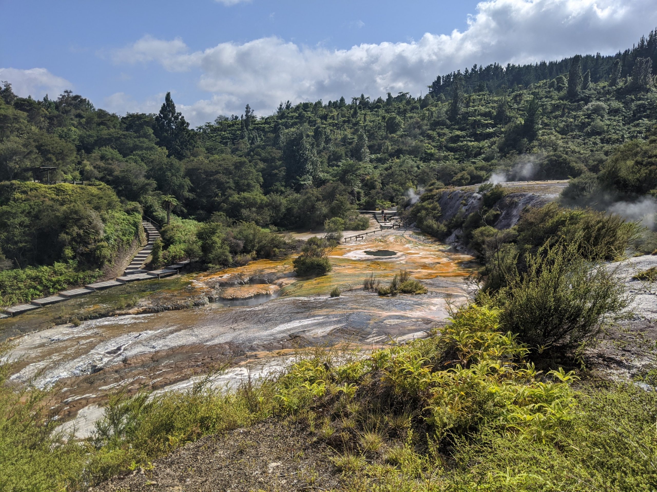
Orakei Korako is a great place to visit that we learned about from our Tongariro guide. We are glad we went there as it was on the way to Rotorua. It is a sacred Maori place where there are hot springs and mud baths. These are at boiling temperature. Many are used to cook food as you needed to only but good closer by for it to cook underground.
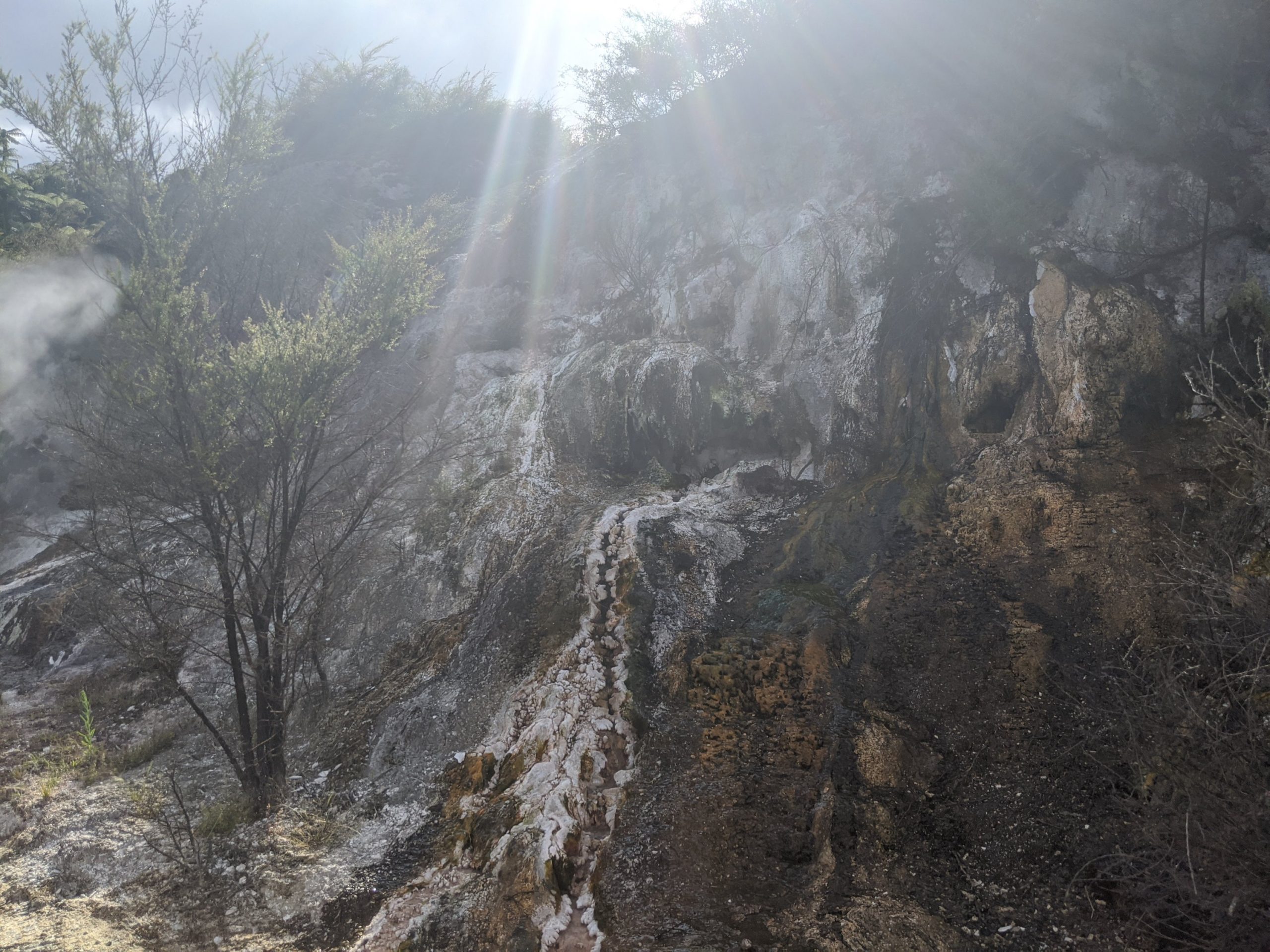
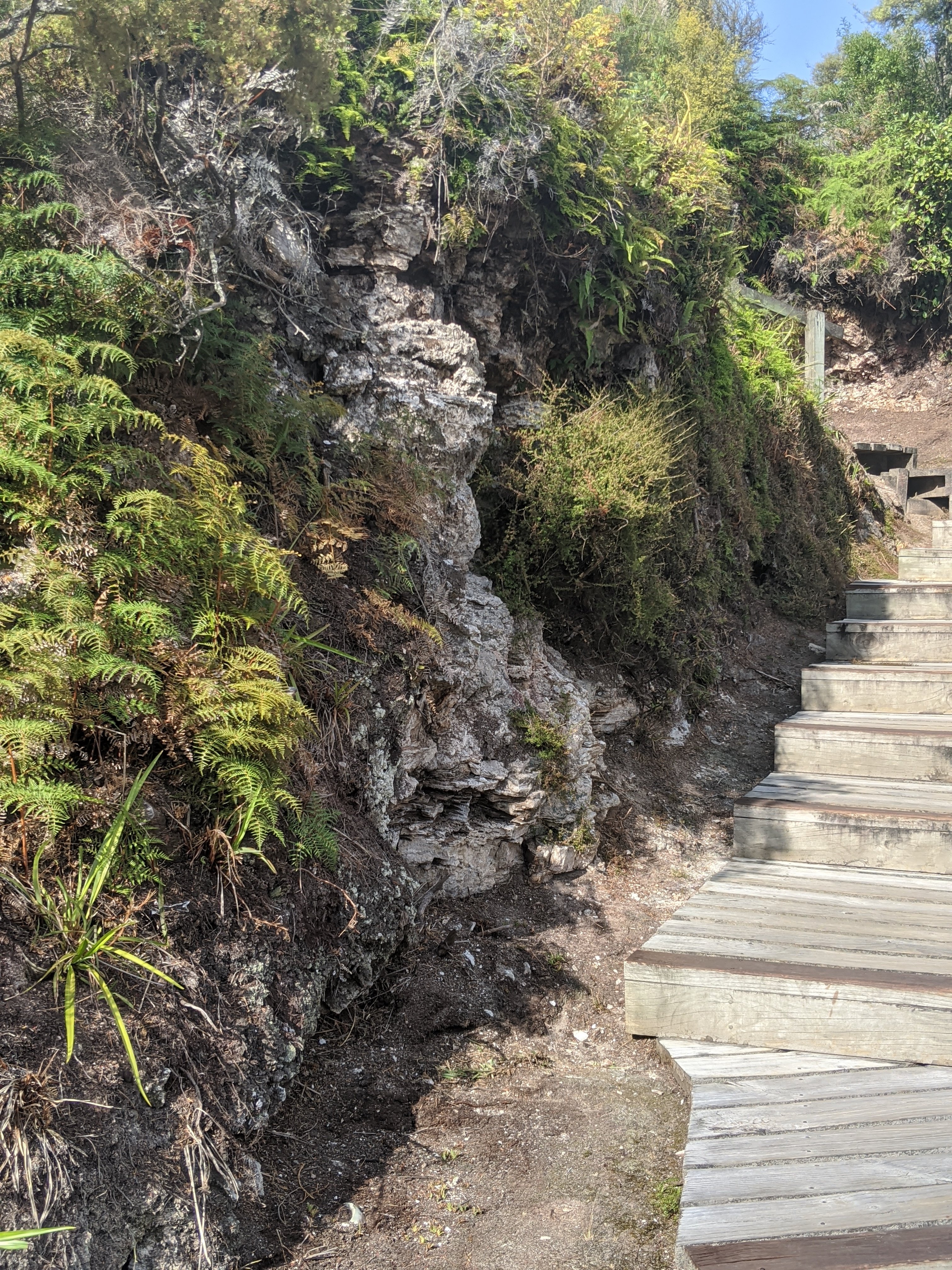
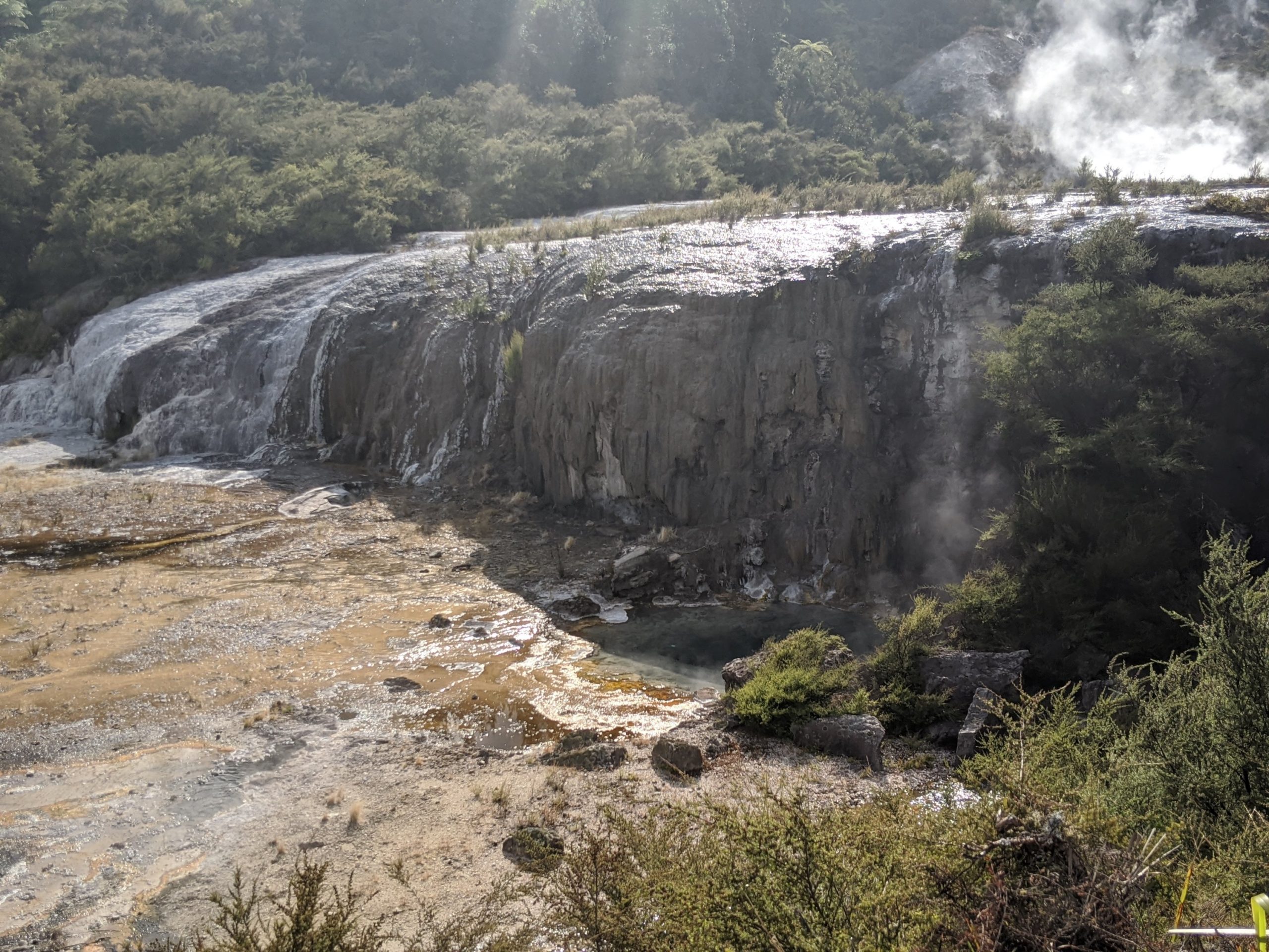
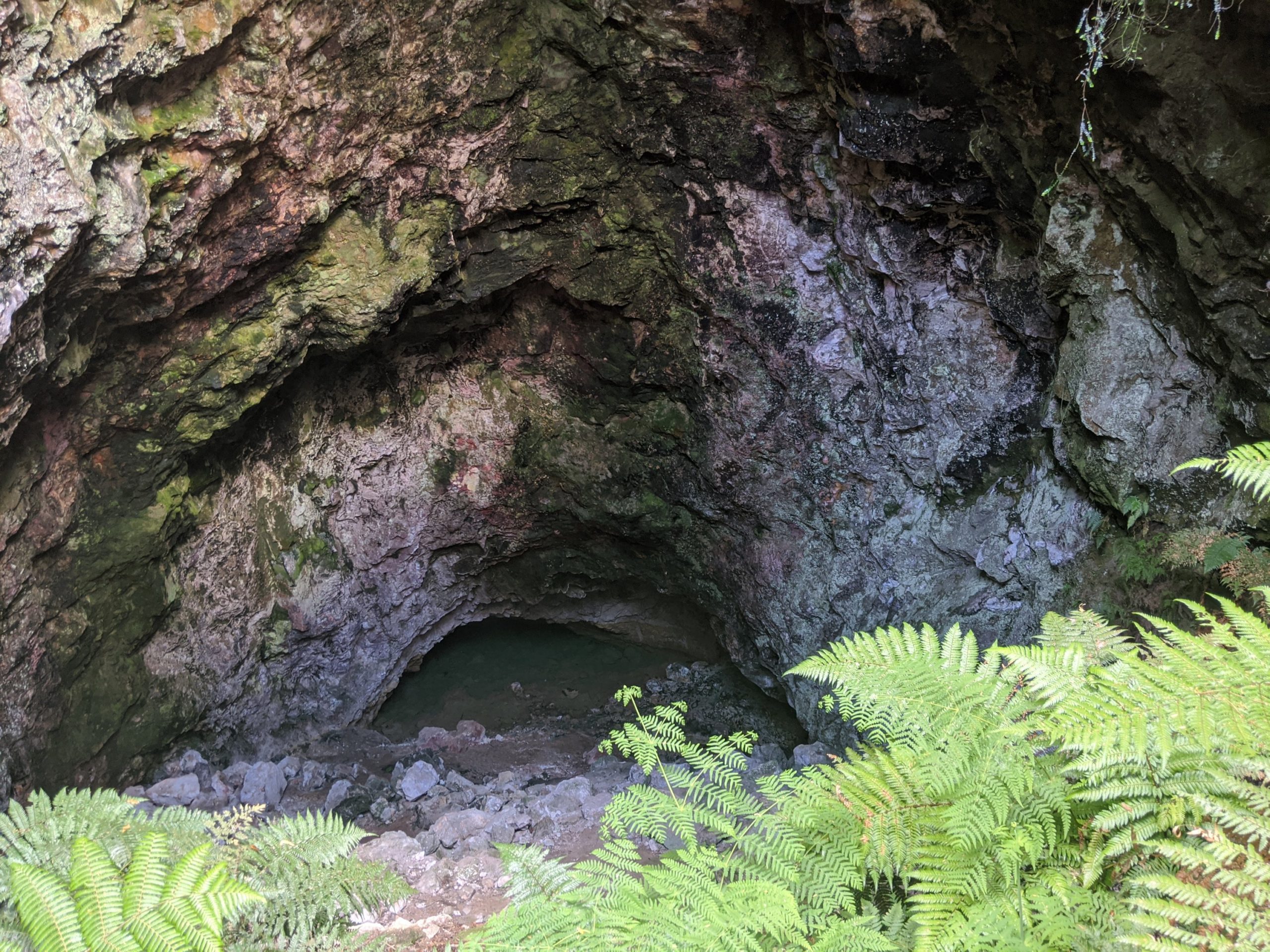
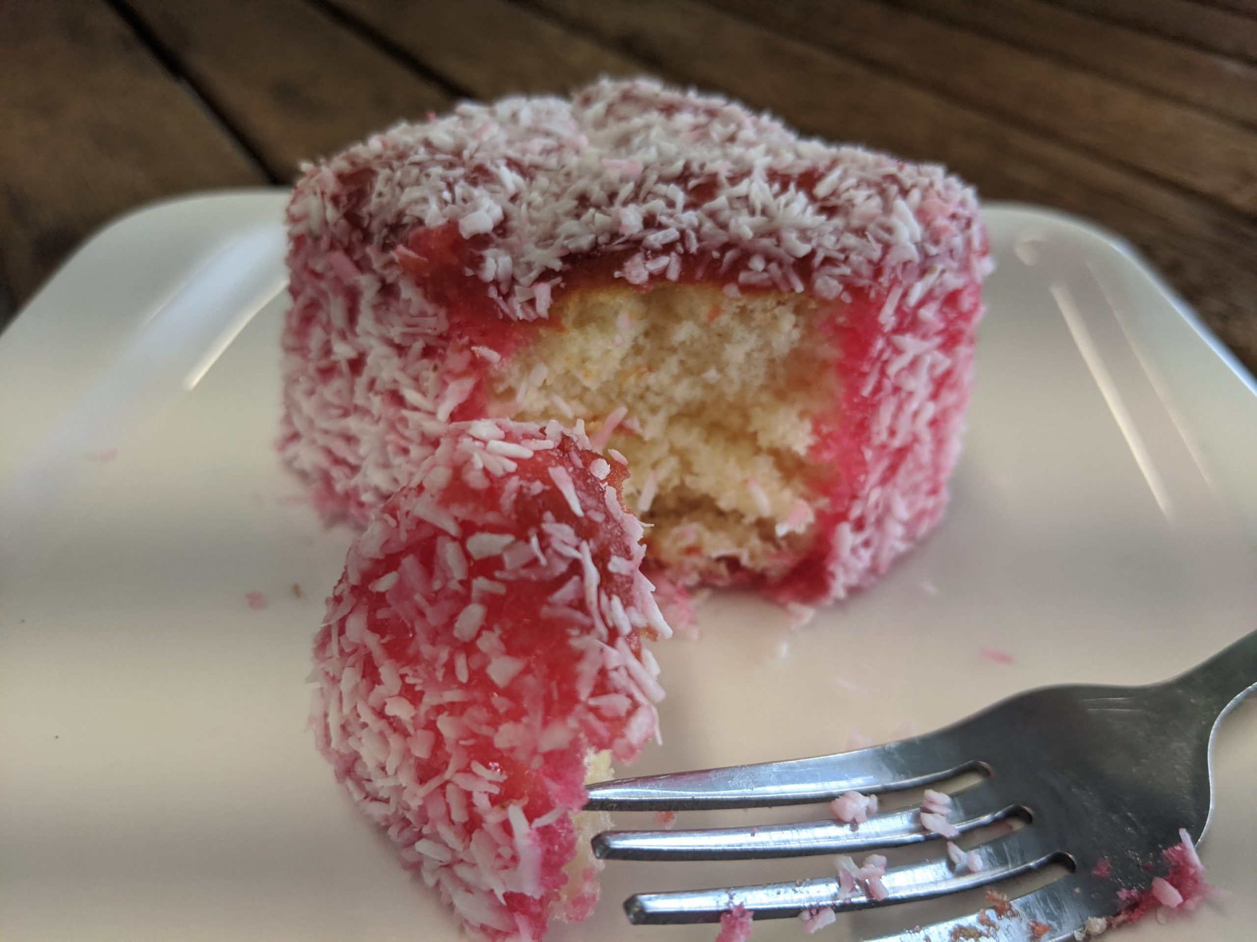
After buying the ticket from the visits center you take the ferry to the island.Diamond geyser erupts every 2-3 hours but can be highly variable.Looking out from the Emerald Terrace. 20 million liters per day flows across here.A massive earthquake in 131 AD formed one of these 3 fault scarps in this park. These were caused by the eruption of Mount Taupo. This silica stump is a remnant from the eruption and part of Maori legend of a monster who lived in the cave downstream.The artist pallette was formed 8000 to 14000 BC. The batting thicknesses of silica as well as the chemicals allow varied algae growth.Tree ferns.The Riatapu cave is known as a sacred cave. This is one of two geothermally situated caves that exist in the world.Active mud pools.A lamington for dessert.
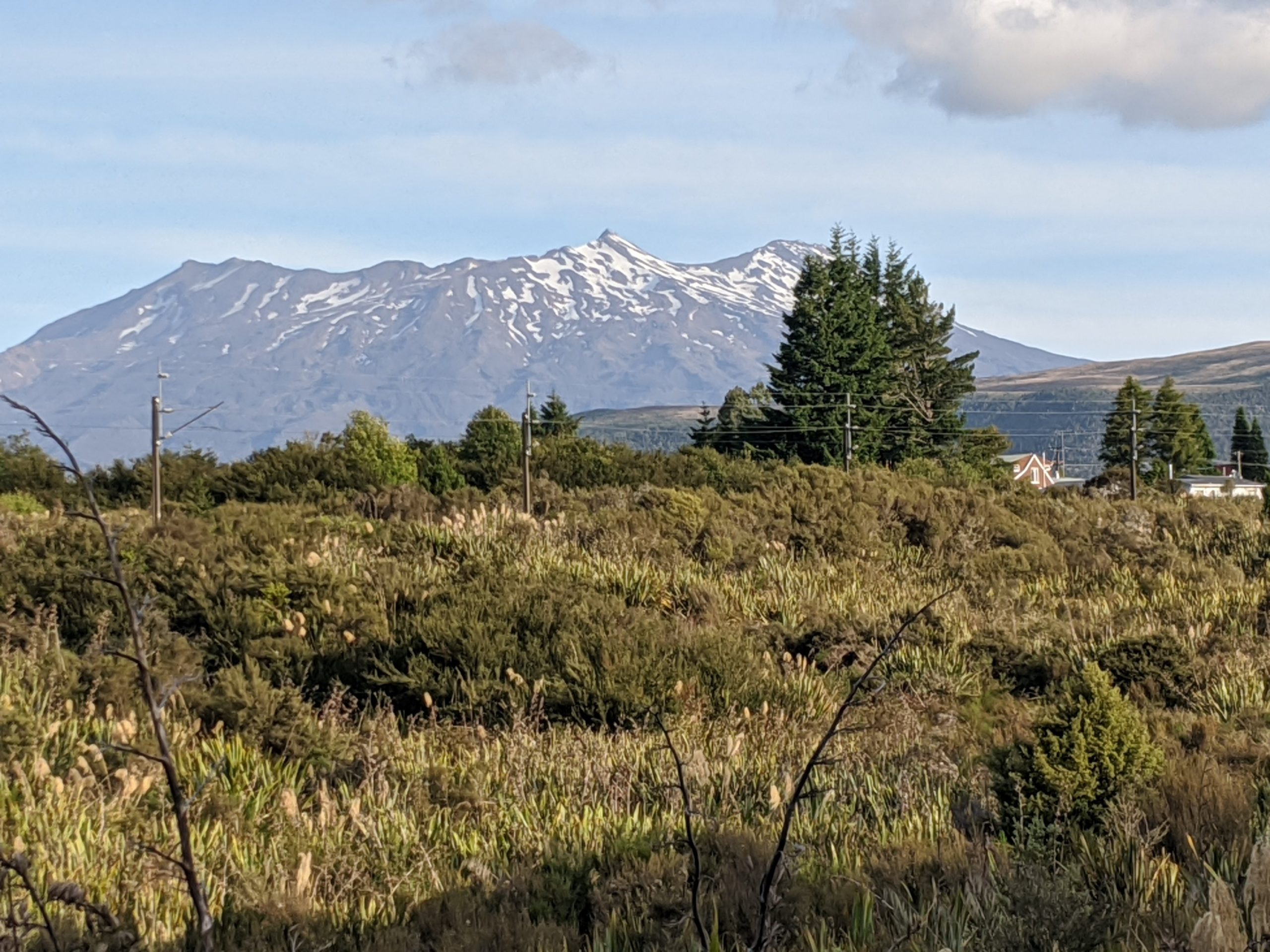
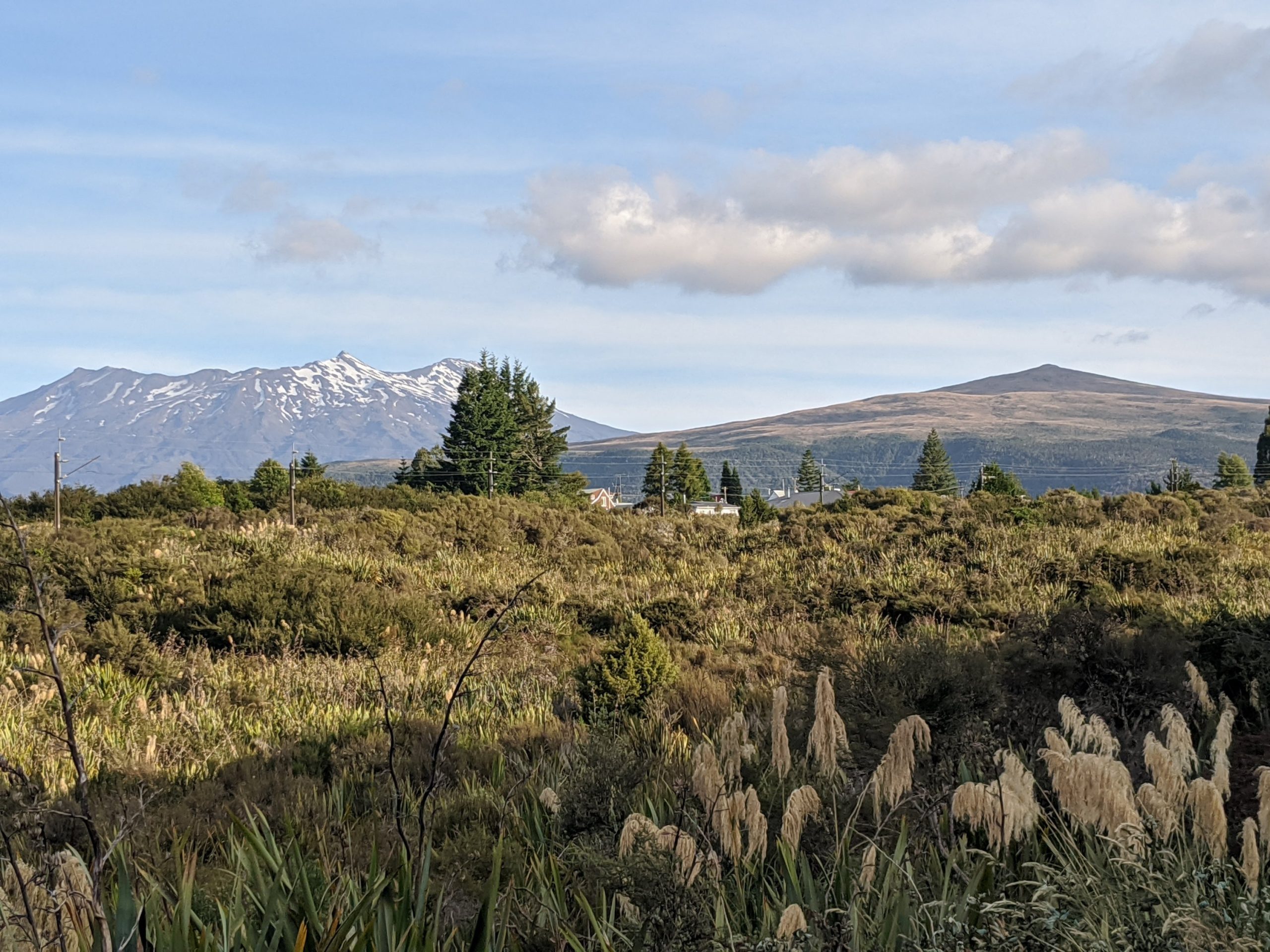
We checked into Piper’s Lodge and went for a run. I found the mountain to beach bike path and saw the mountains we were to be hiking on and between in the distance.
I believe we start somewhere in this mountain and head to the right….…towards but not on this mountain.
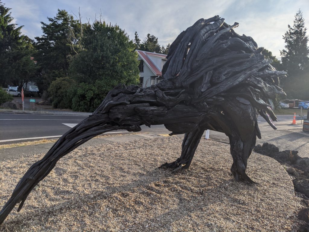
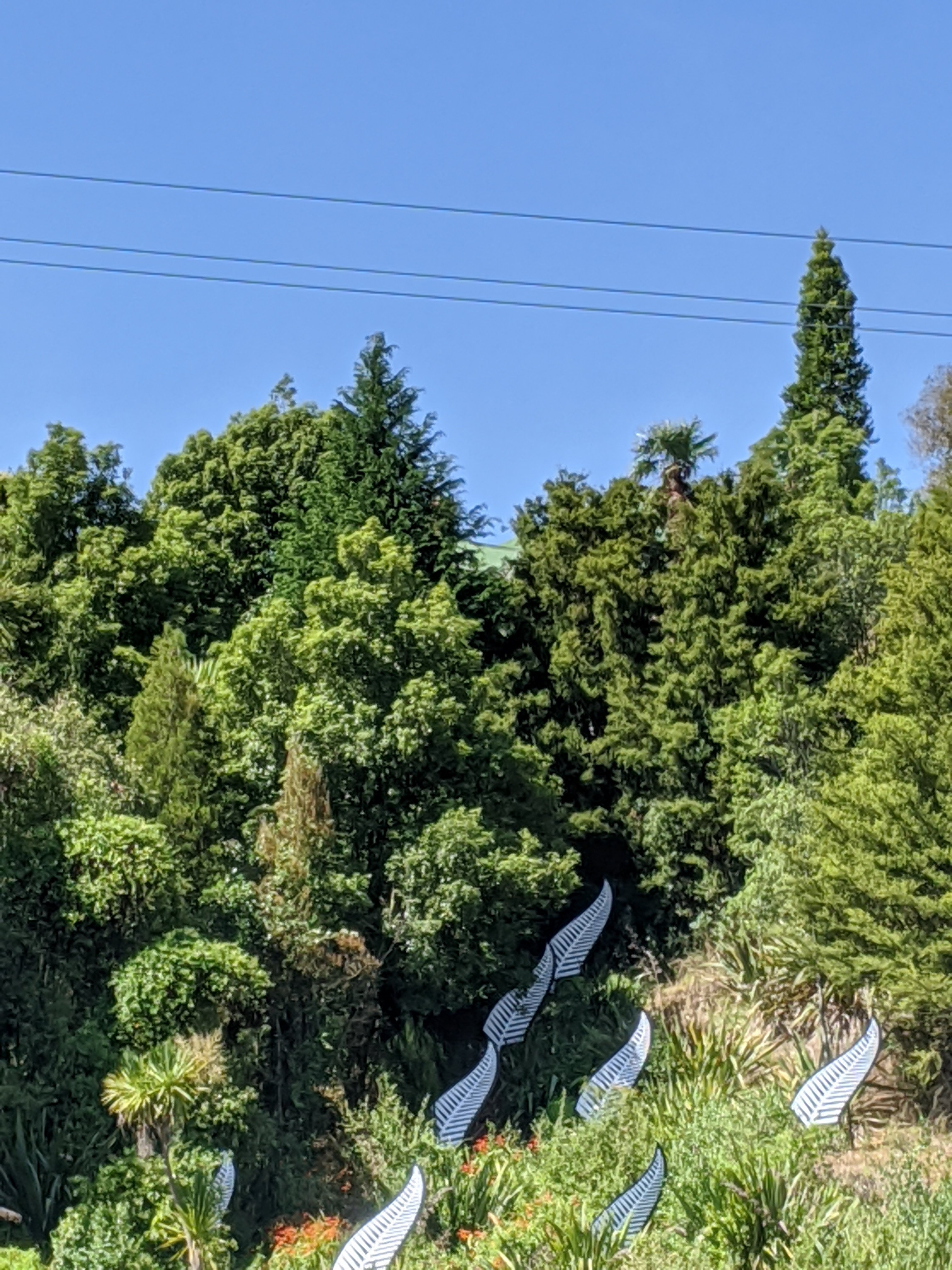
Another kiwi statue… Love it!
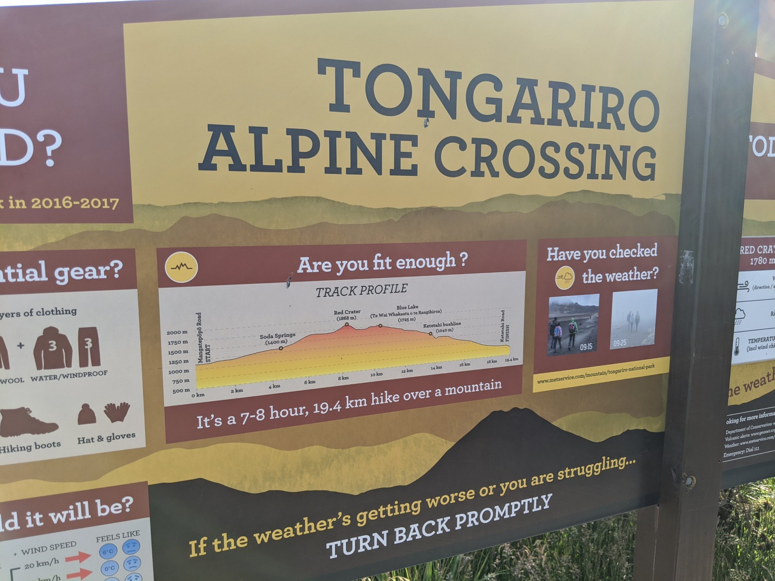
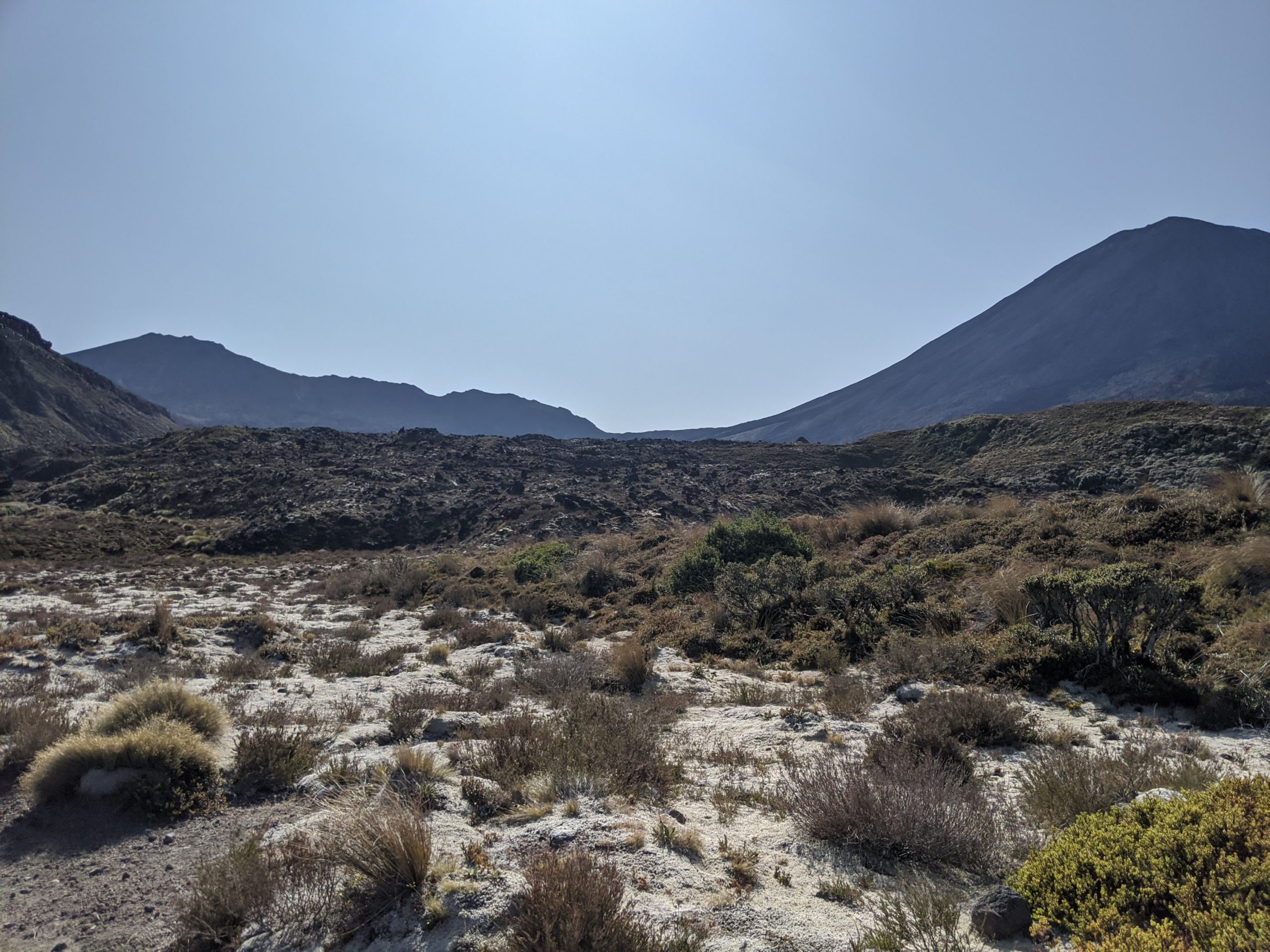
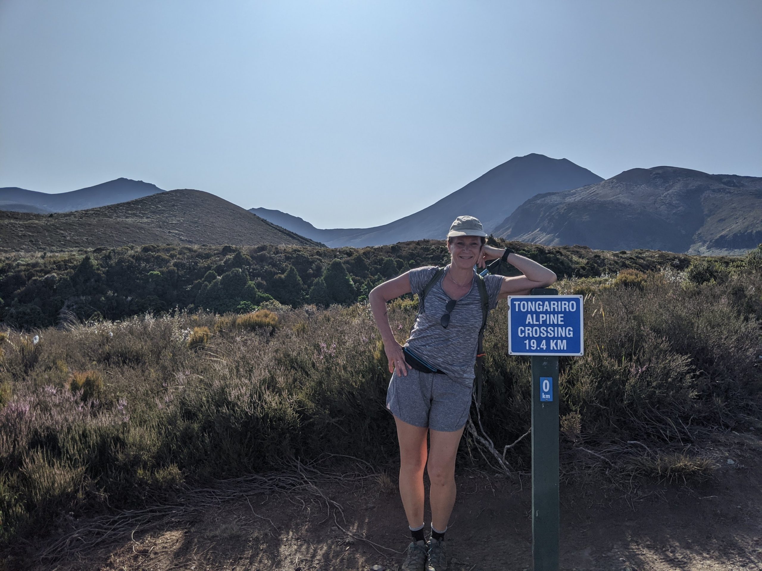
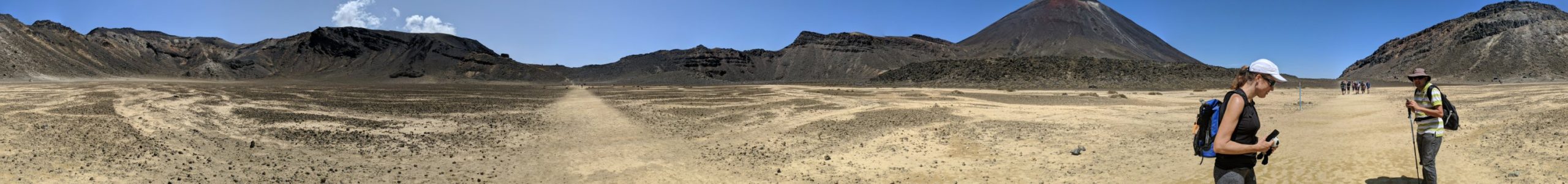
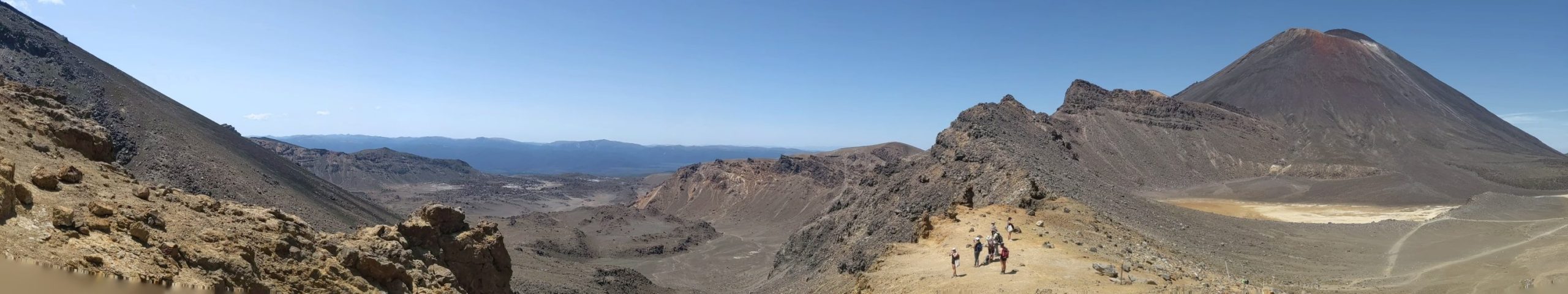
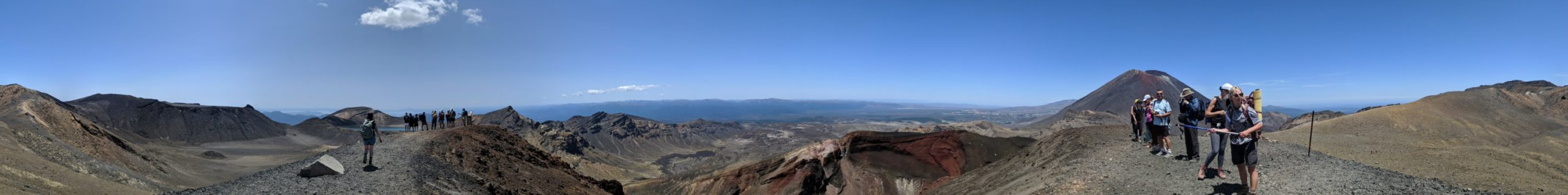
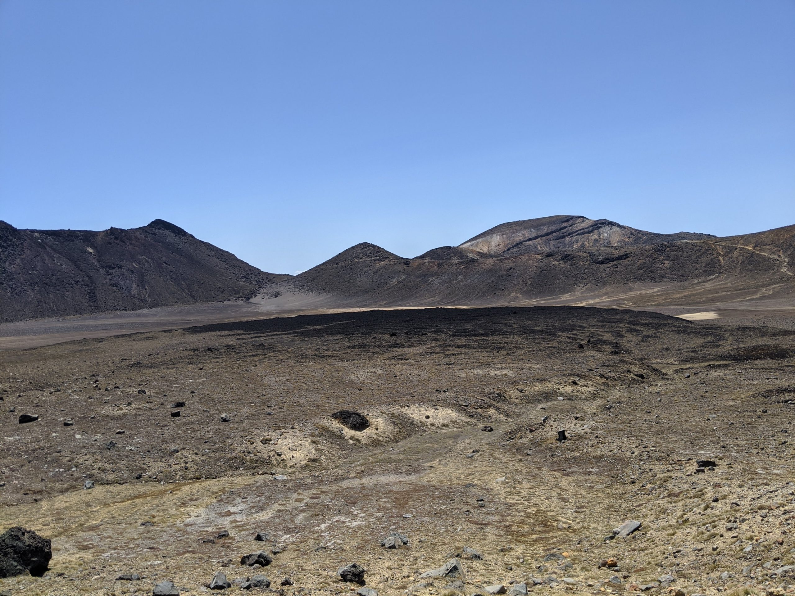
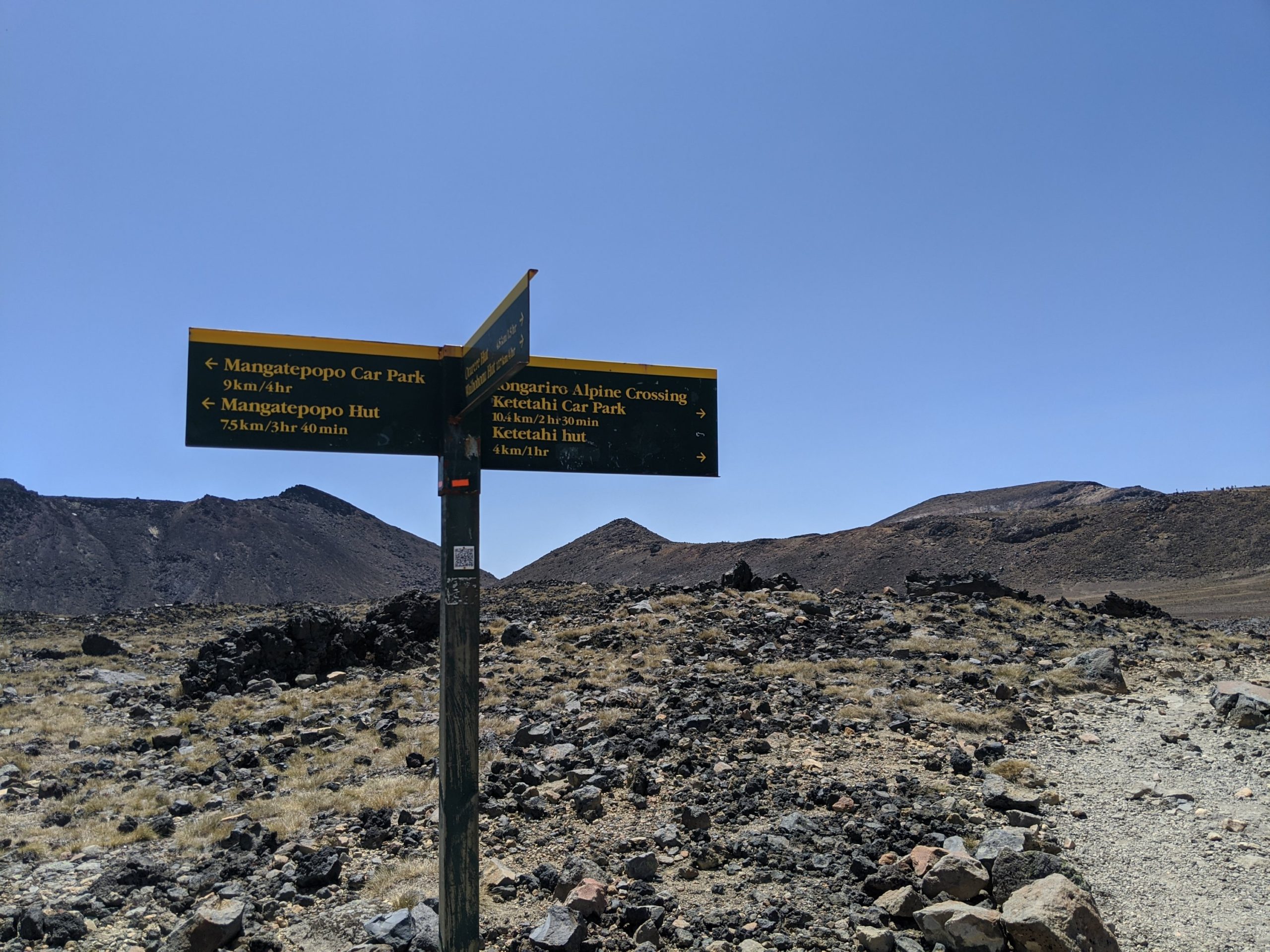
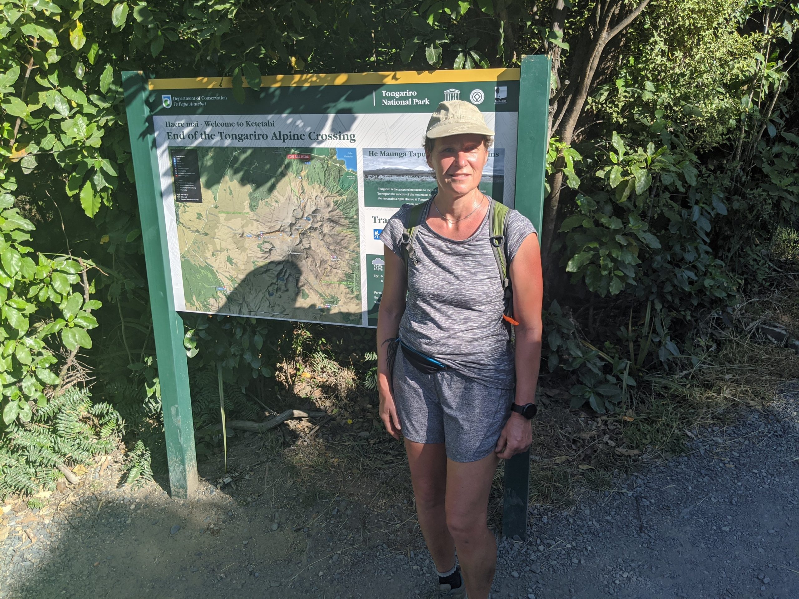
The next morning we were picked up and on our way to the crossing. This is actually an active volcano we are crossing. To be completely accurate all of the North Island is active with volcanoes.
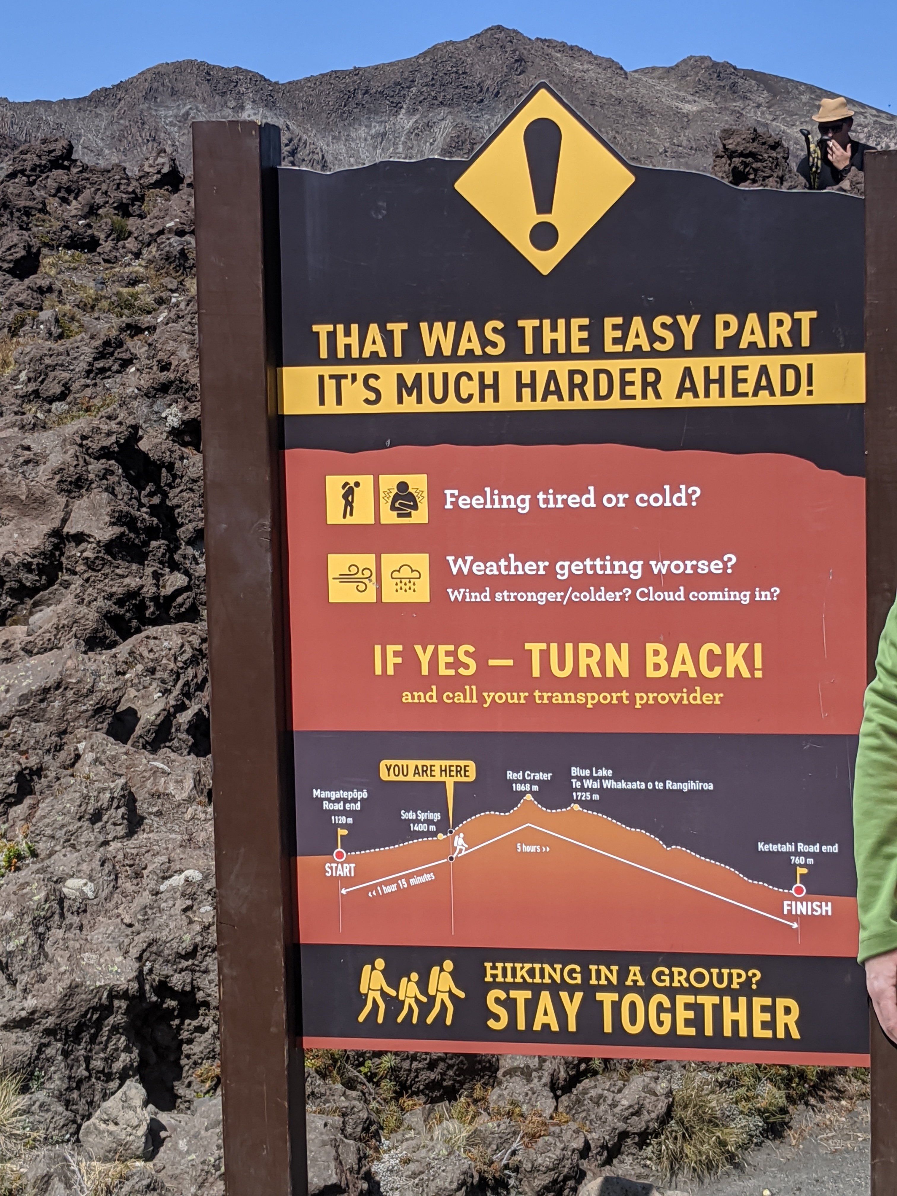
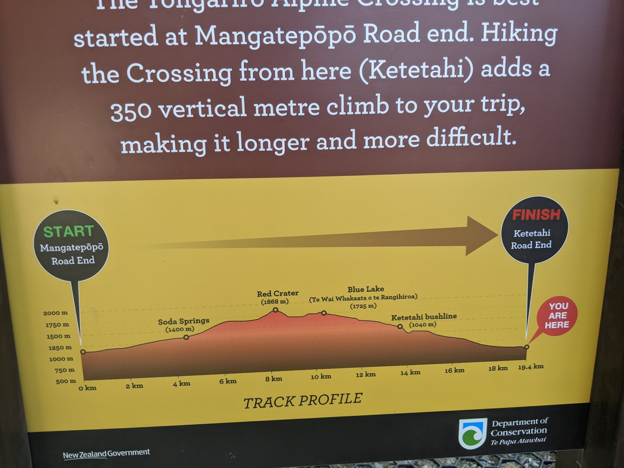
This hike is 19.4 km and not for the faint of heart. It is a lot of up and down mountains with high elevation, including loose rock, and very hot conditions. You have to pack lunch, snacks, and plenty of water. Proper hiking shoes are required as well as extra gear for changing weather that pops up. People die out here often and there are helicopters often to pick up people who fall or have medical conditions.
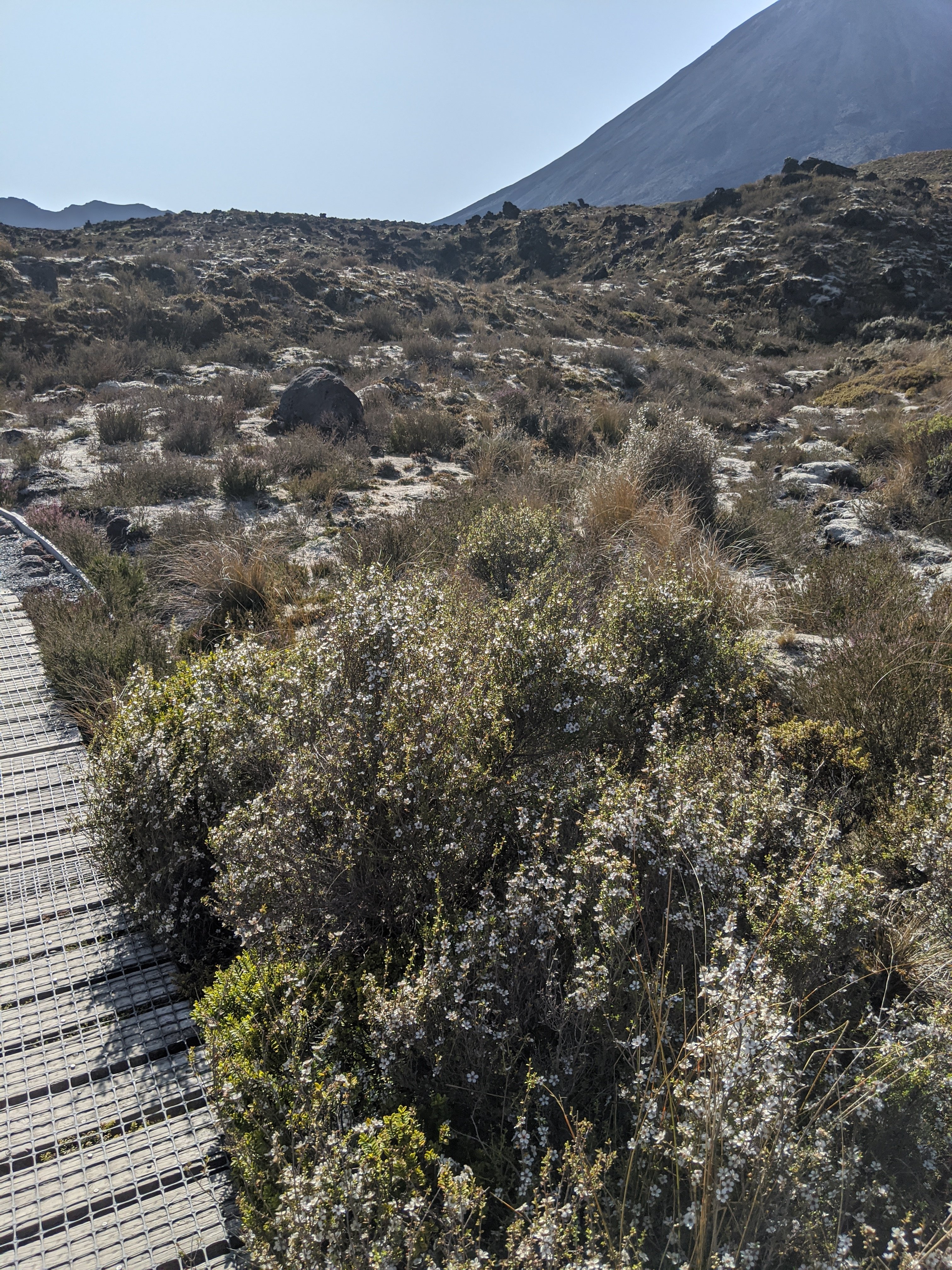
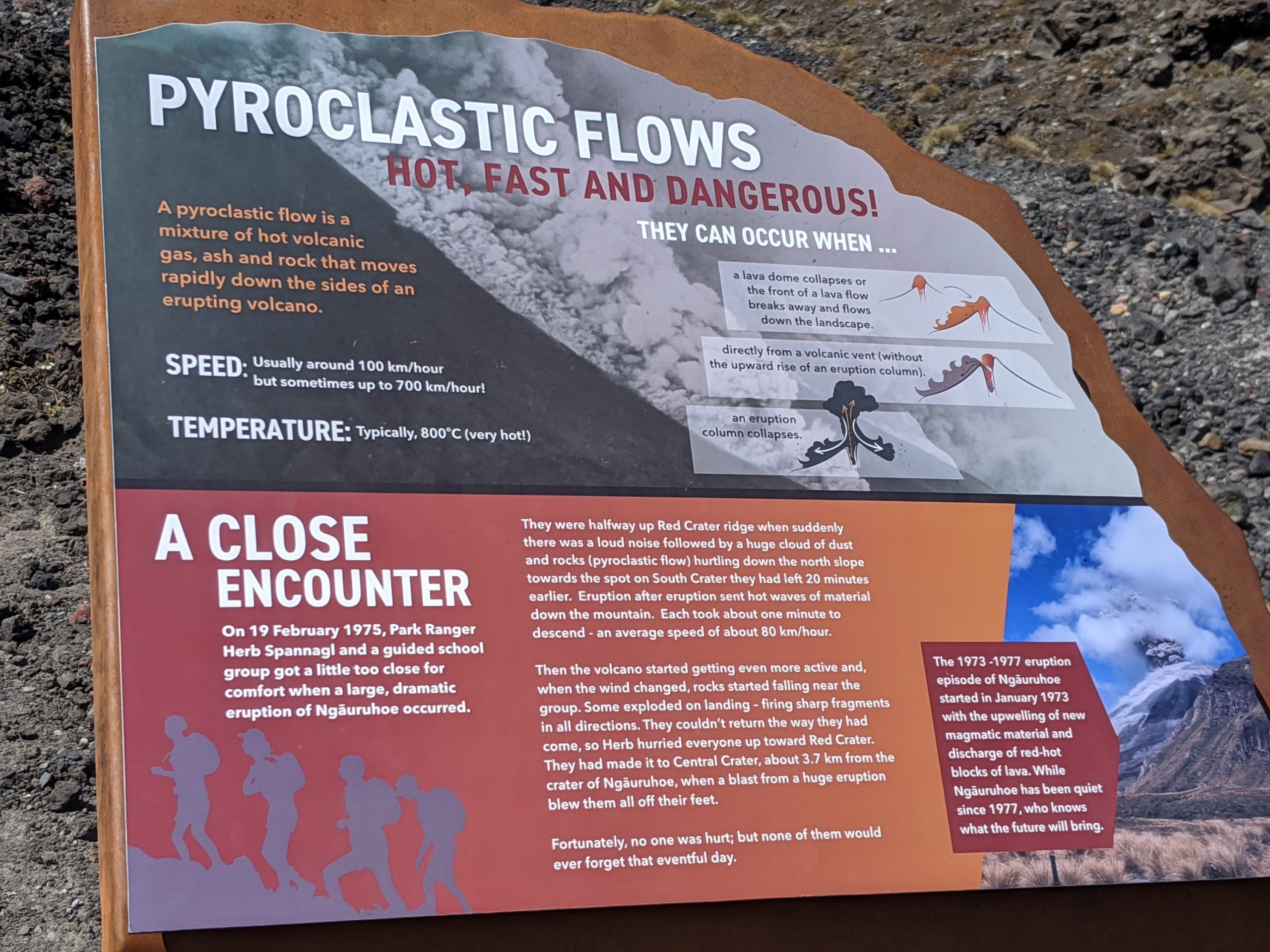
The landscape is littered with pumice. The lava could rapidly leaving pores.
Manuka is a bush that bees love and Manuka honey is made.
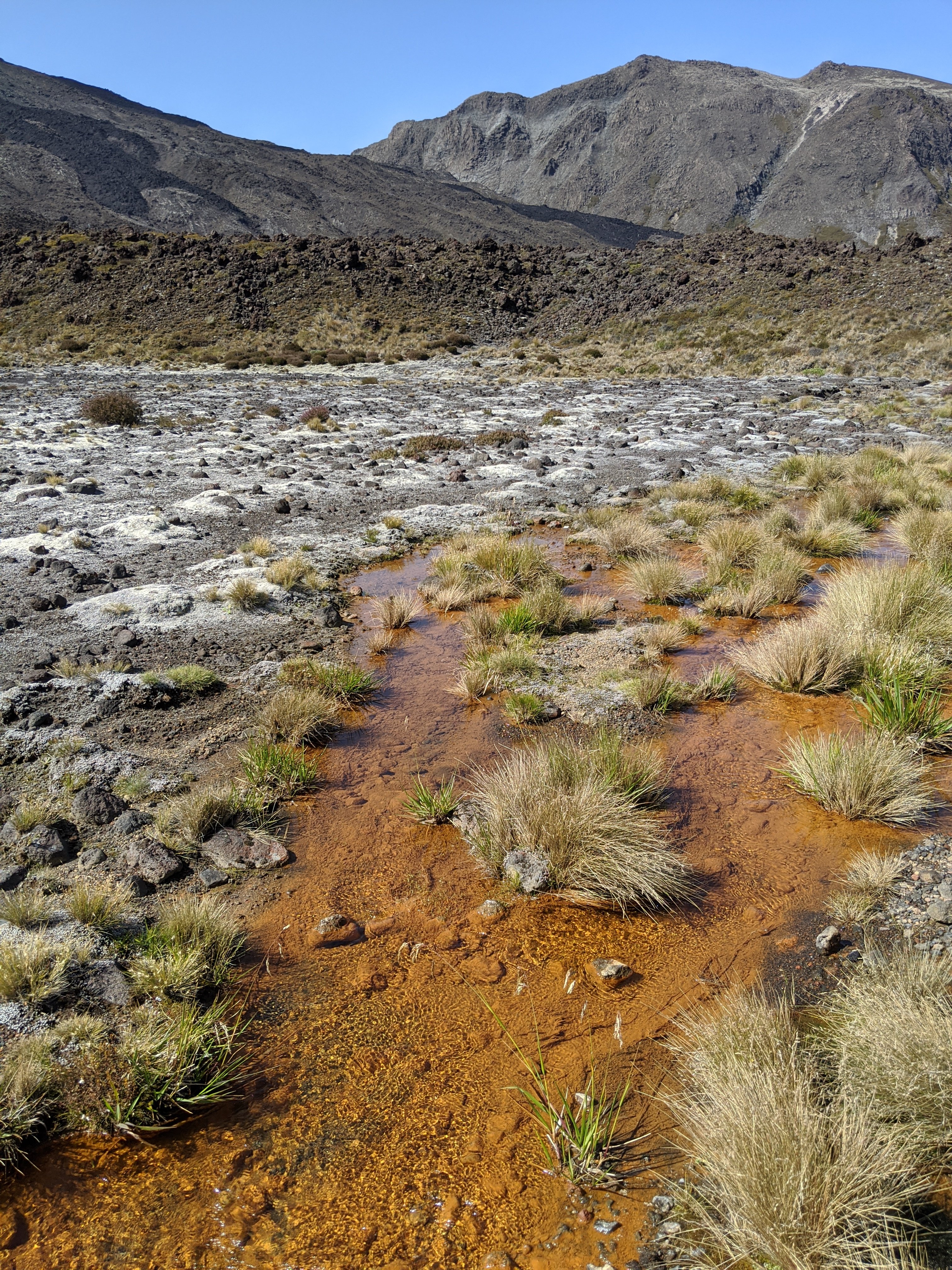
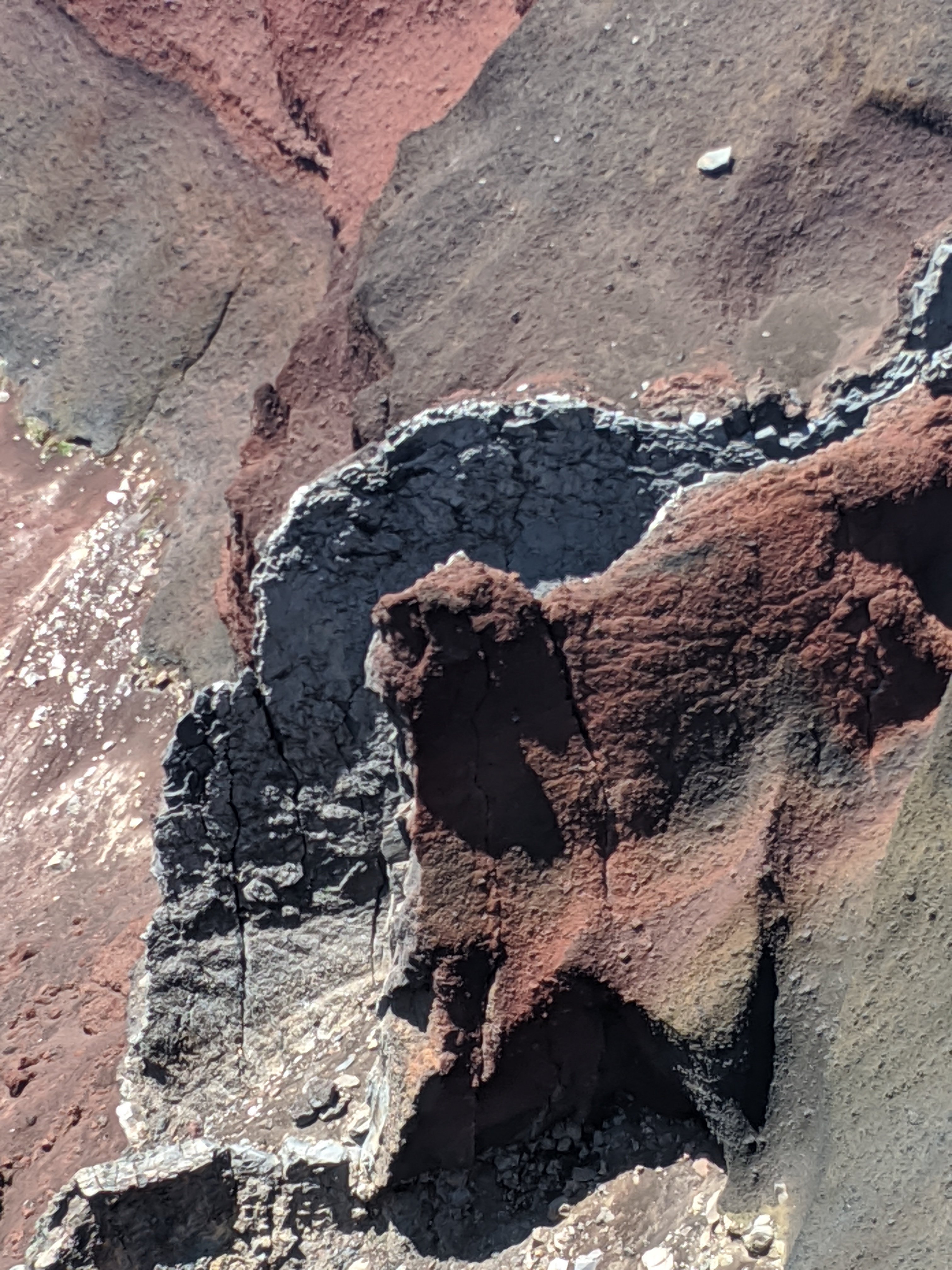
The chemicals in the water cause the algae itself to turn orange.
Love the signs. It was not bad at this point but you could see where we need to go.
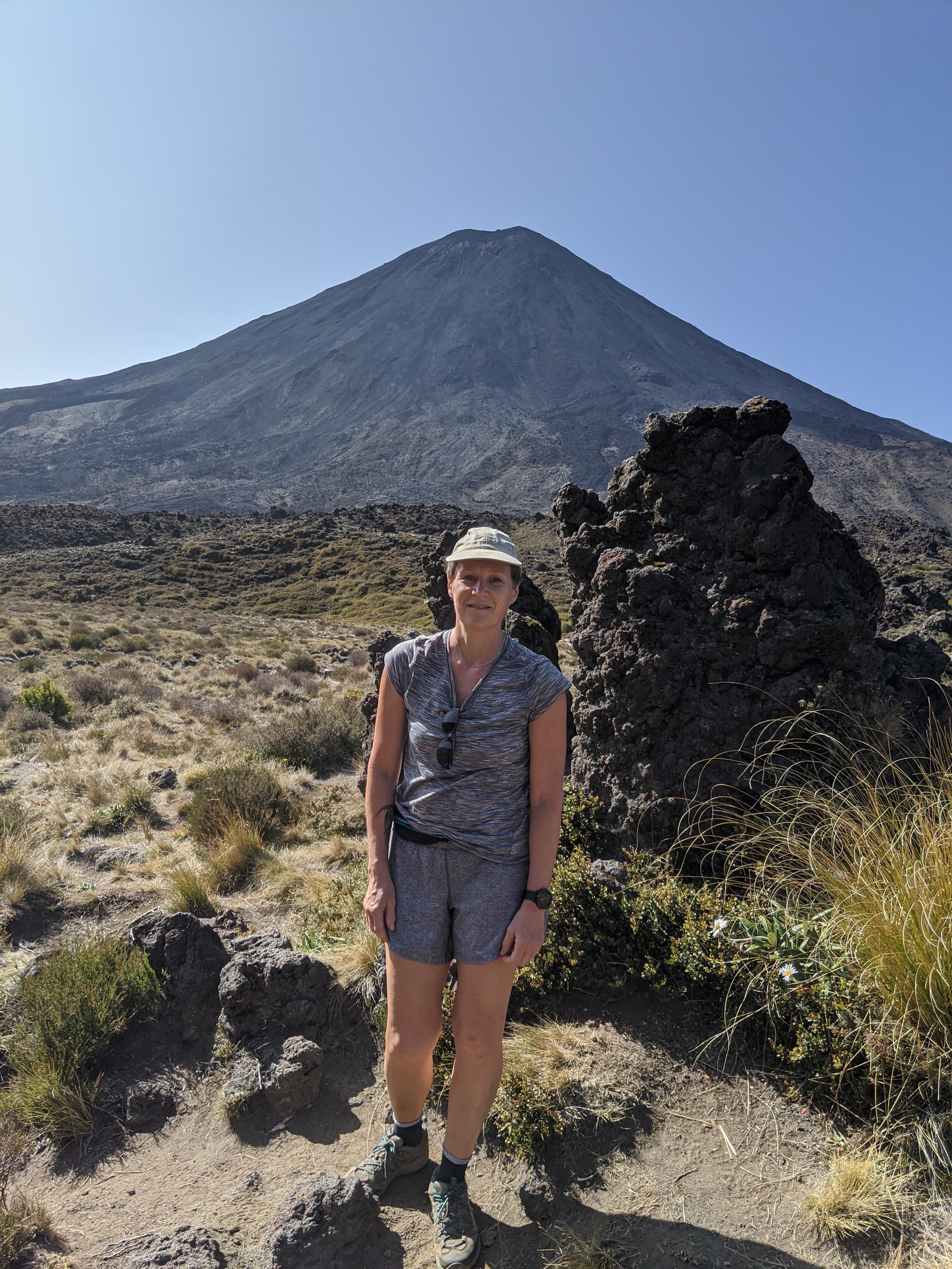
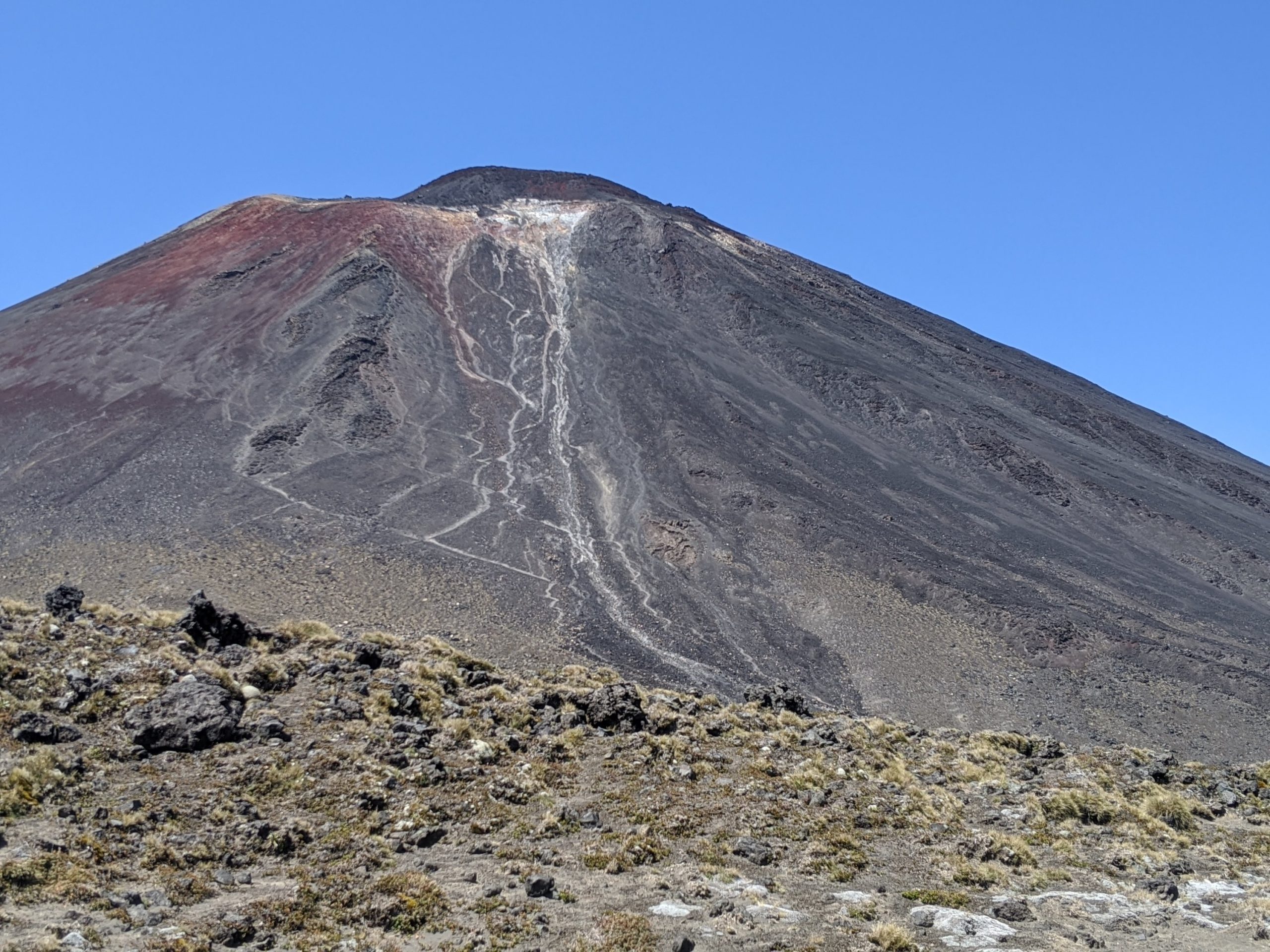
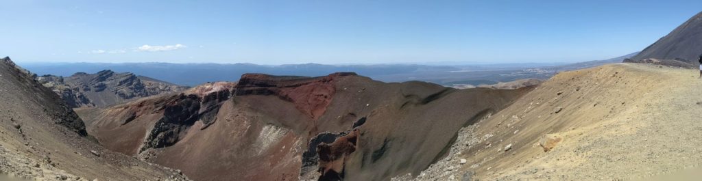
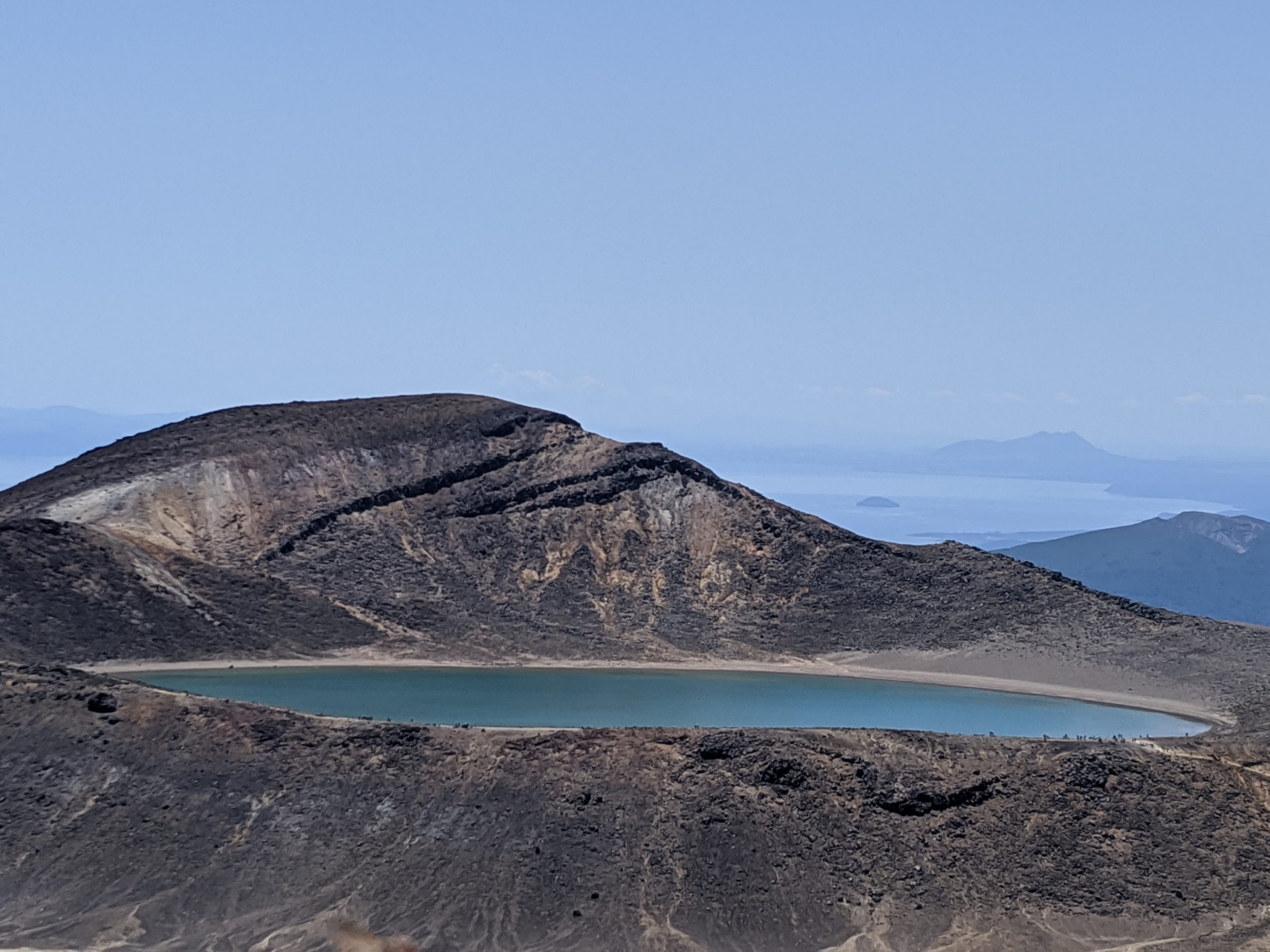
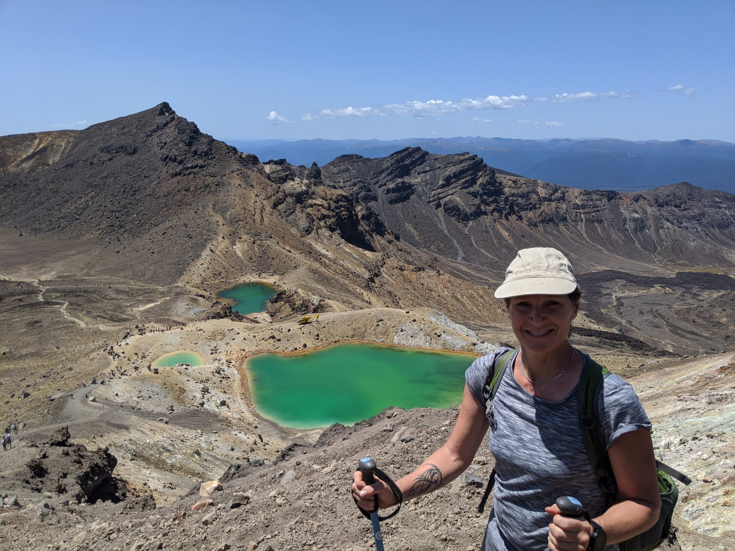
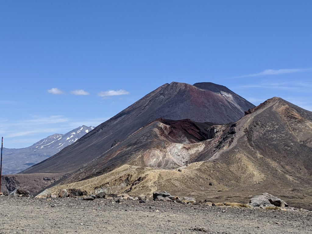
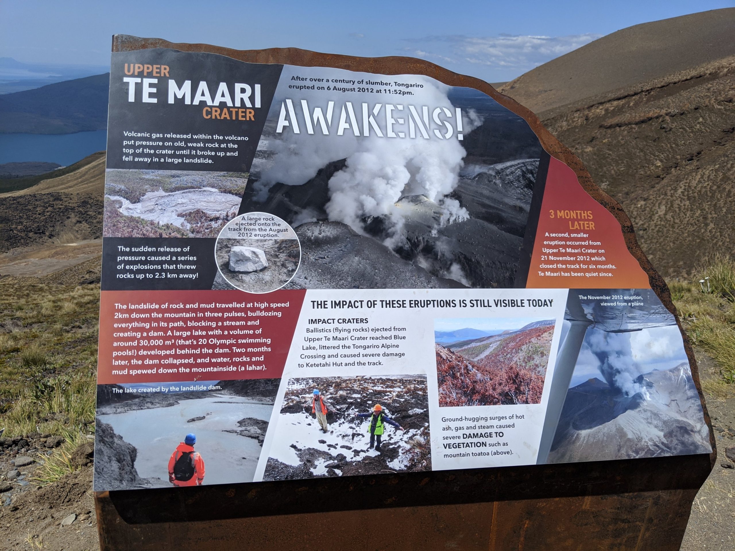
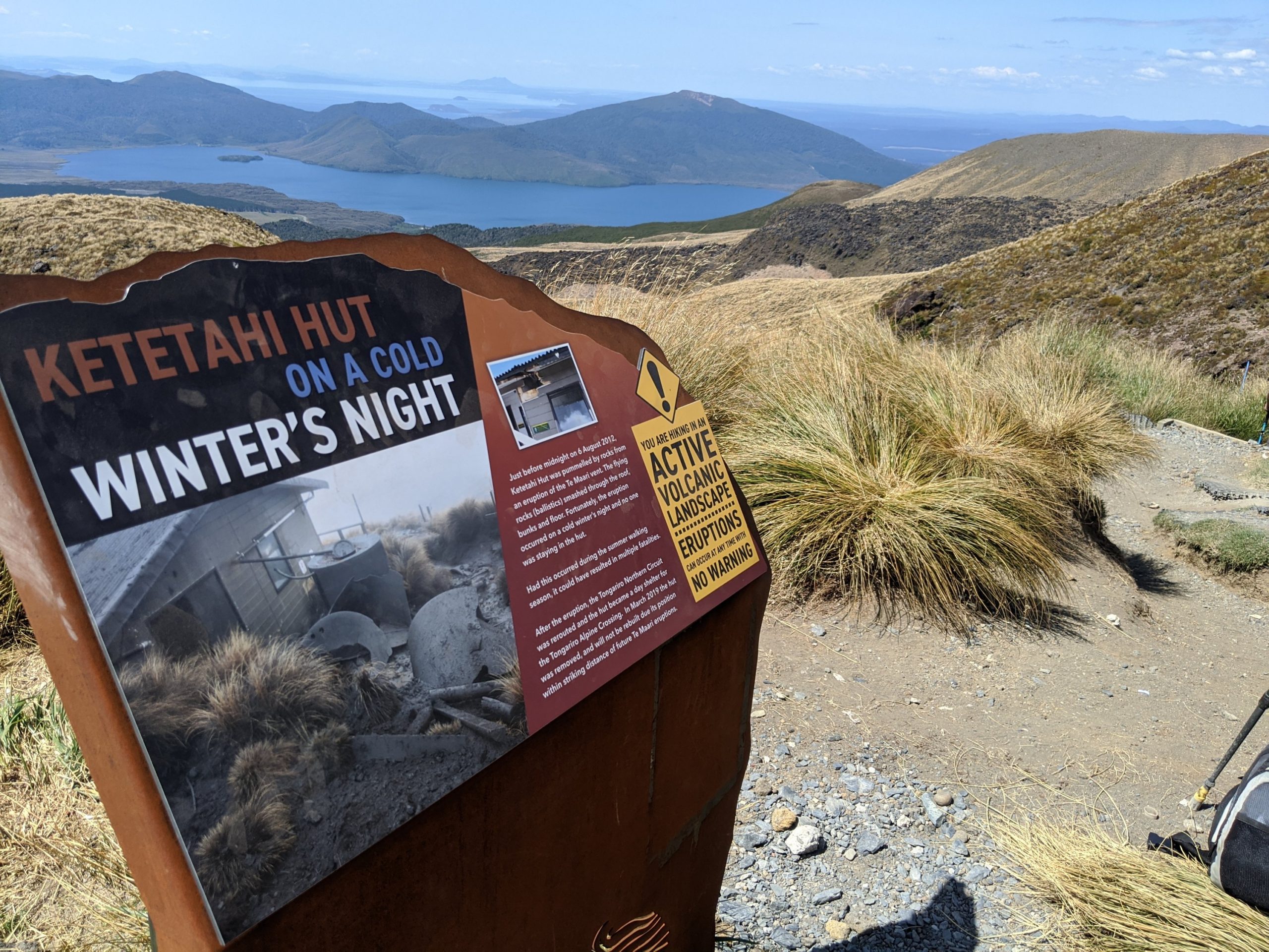
These formations in front are piles of pumice.There was an eruption in 2012. At the top is the red crater. We will be walking right beside that as we get closer.This is Mordor in the Lord of the Rings.This is actually taken at the false summit. It was a pretty difficult climb here and of course if you go up you must come down. I found that even more difficult and needed to use poles to help because of the scree which is loose rock and sand. The guide was helpful in strategies to get down. This is how many get injured.The 2 walls formed above is called a lava dike. This is a close up of the red crater.The red crater.A later formed in a crater.
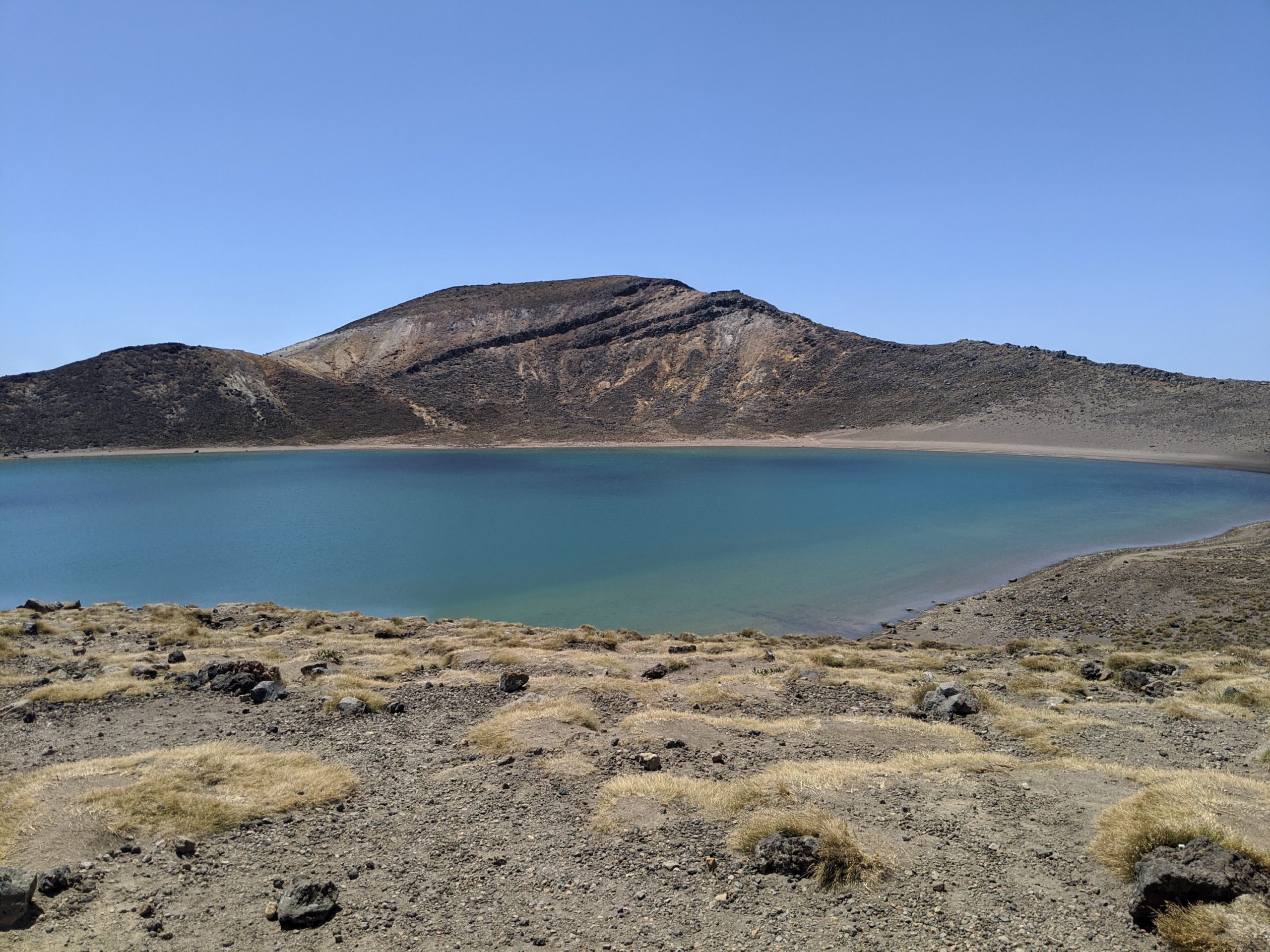
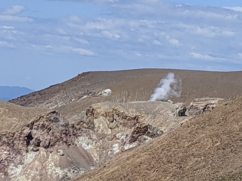
The lakes that form are a brilliant color but you would not want to drink or swim in them. The fumeroles around here are vents from the volcano. The stream that comes out has toxic chemicals in it and they land on the ground. When it rains it is washed into craters and becomes these lakes.
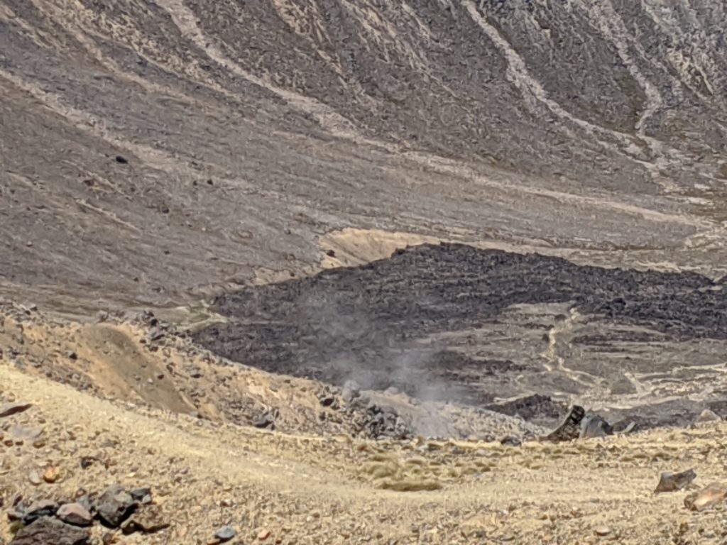
Emerald lakes.A fumeroles where hot steam is rising from the magma below the ground.
I shot a video of the rising steam:
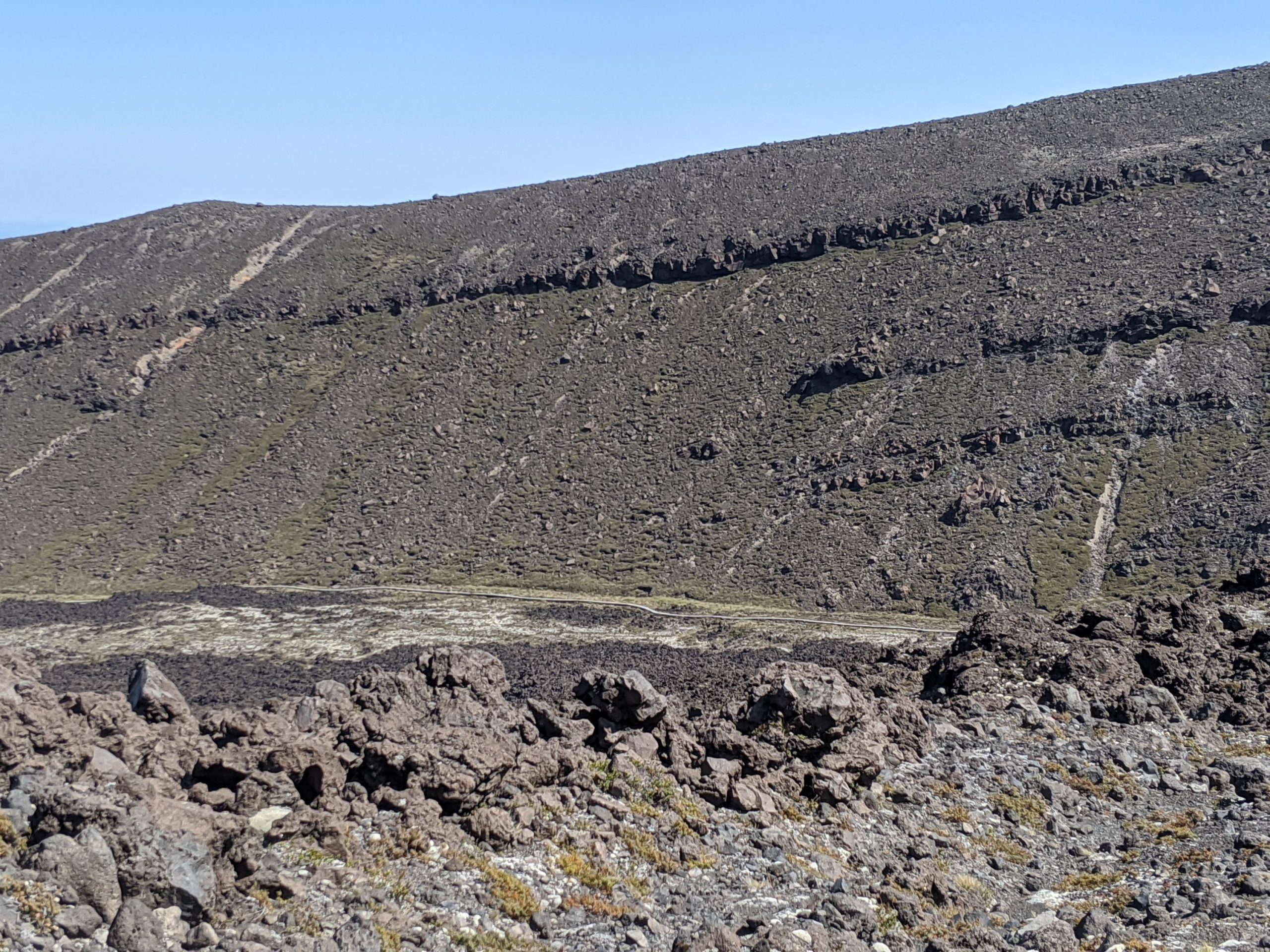
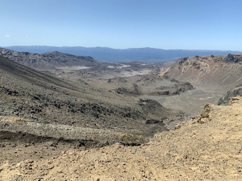
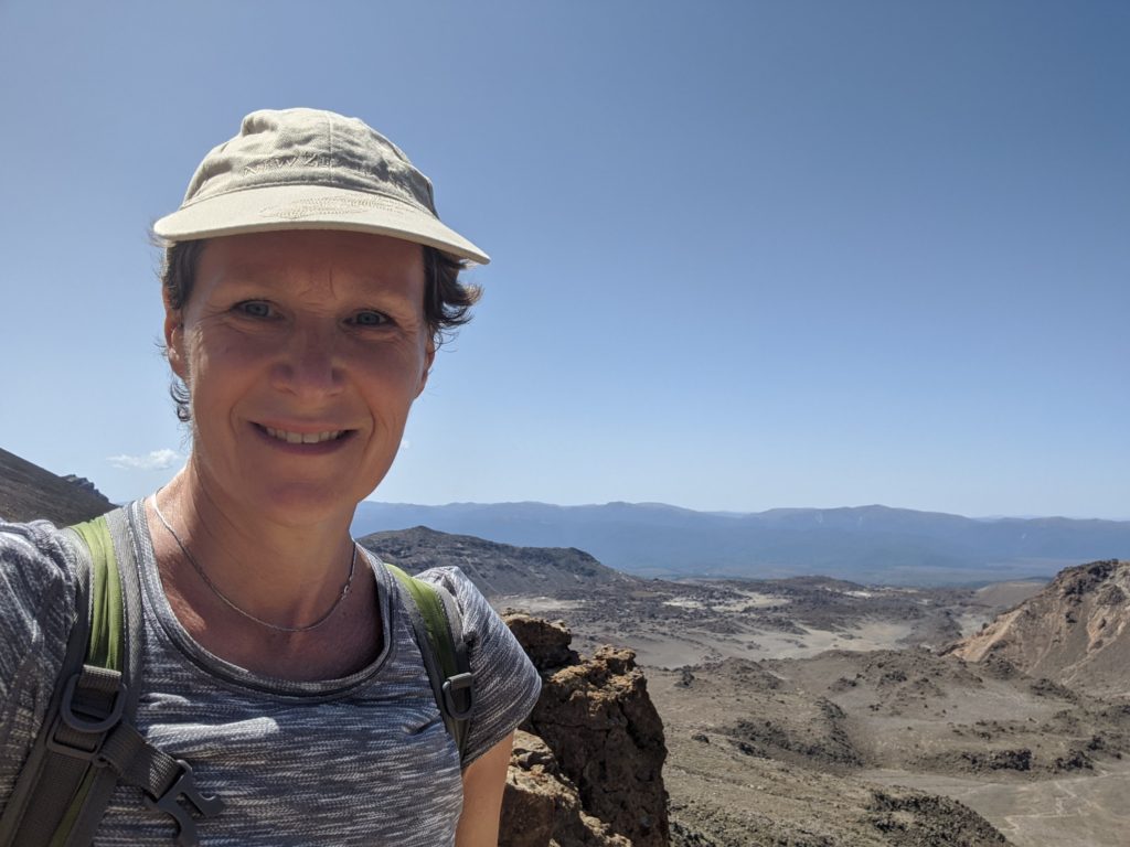
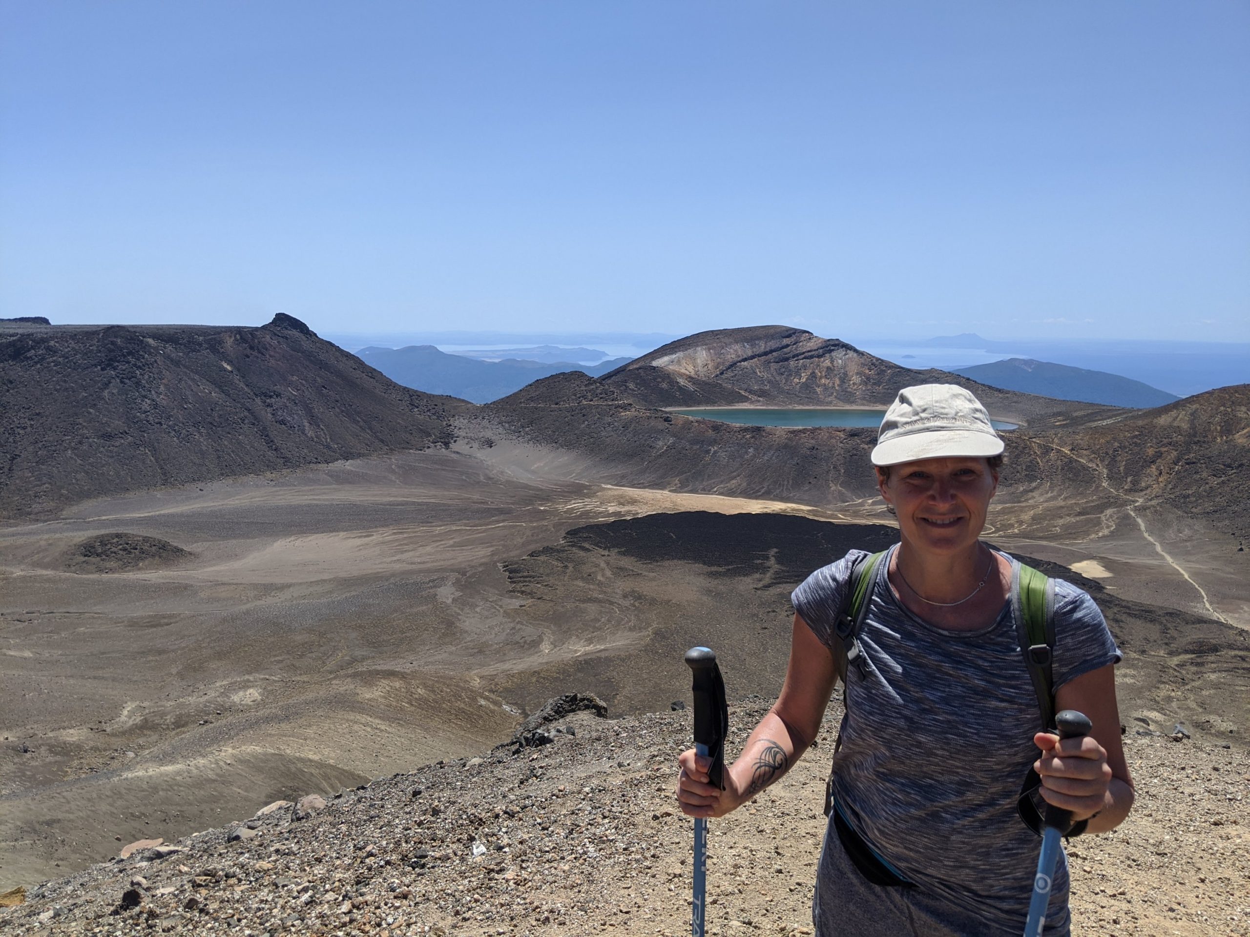
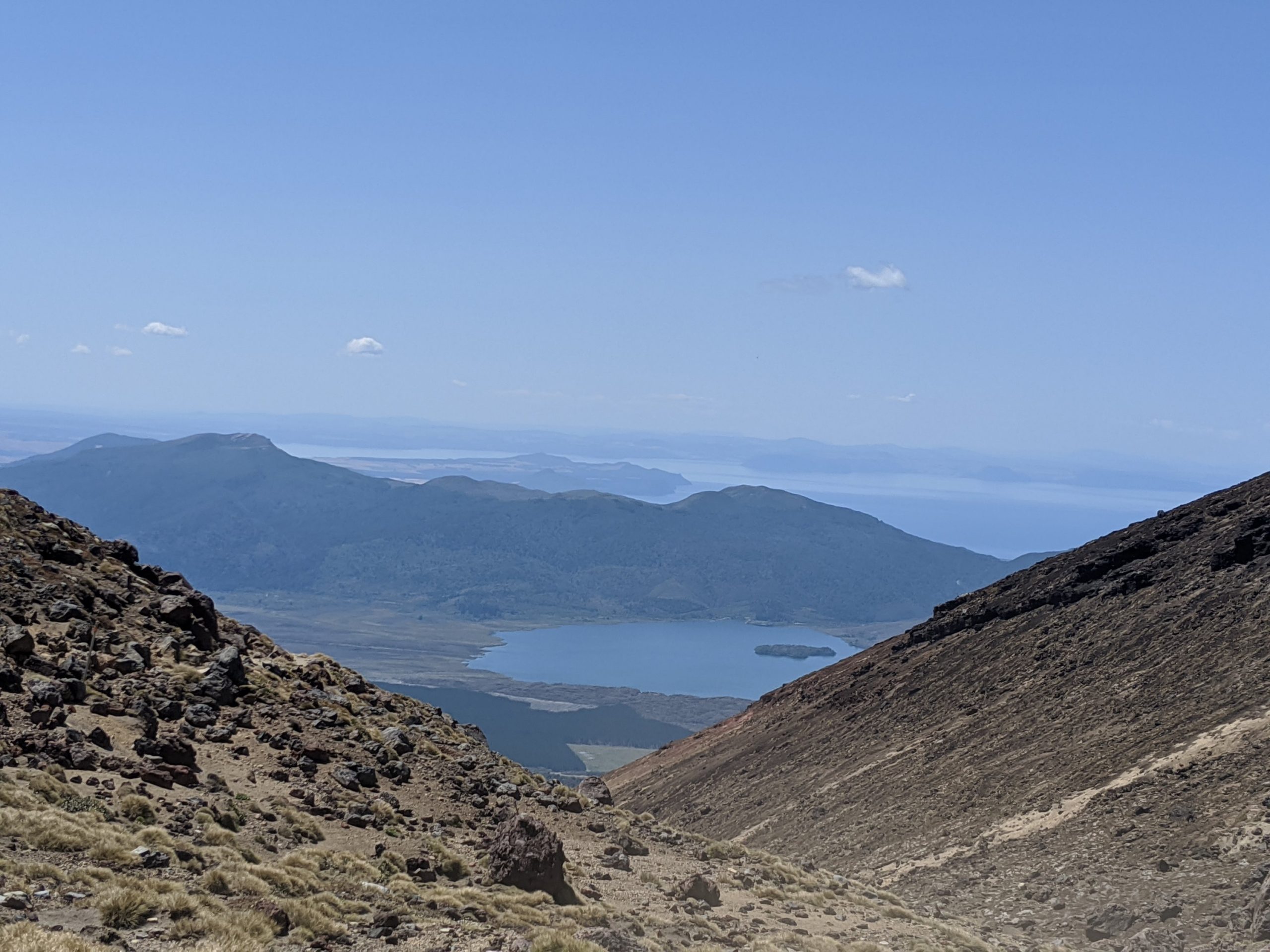
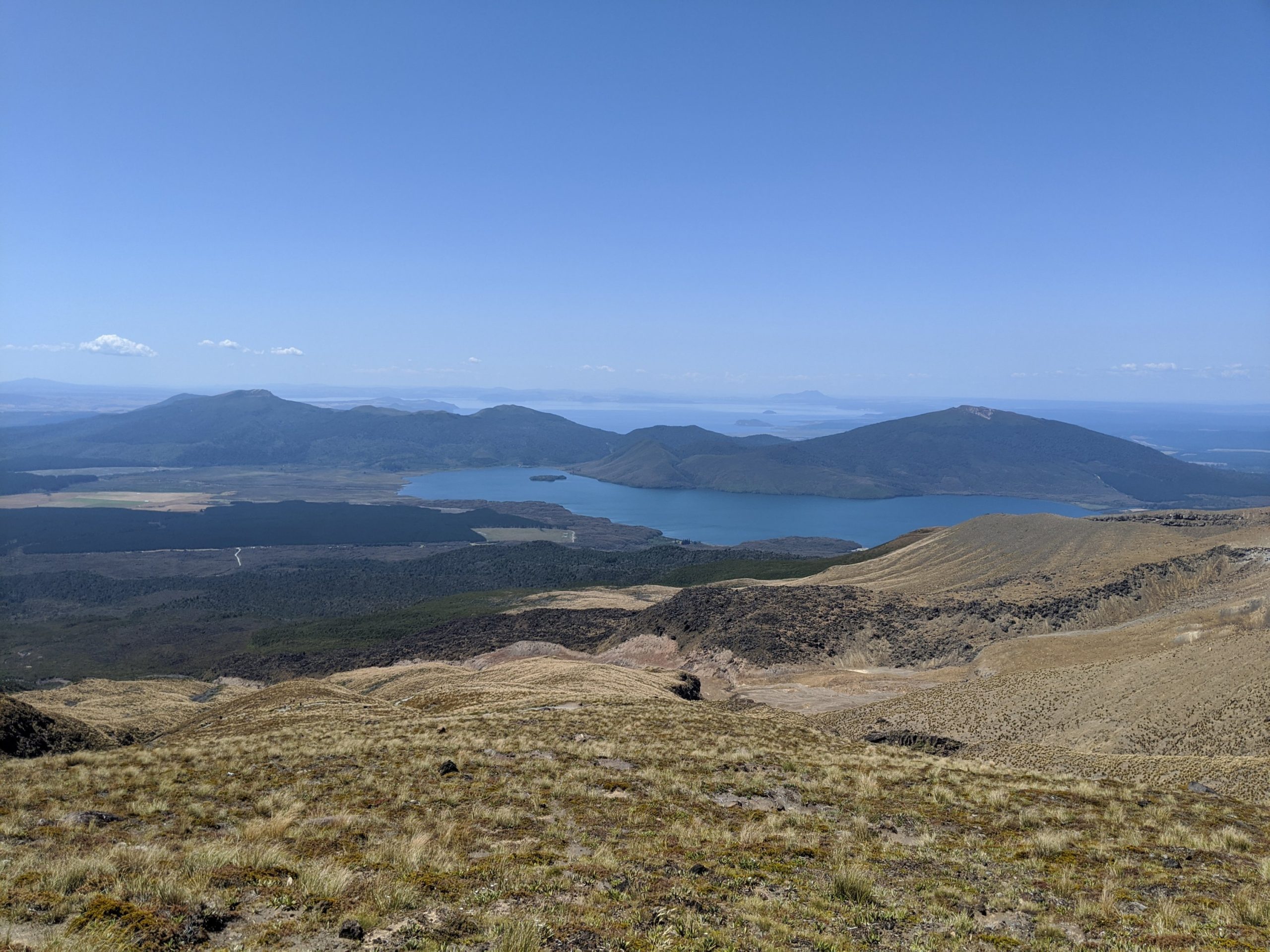
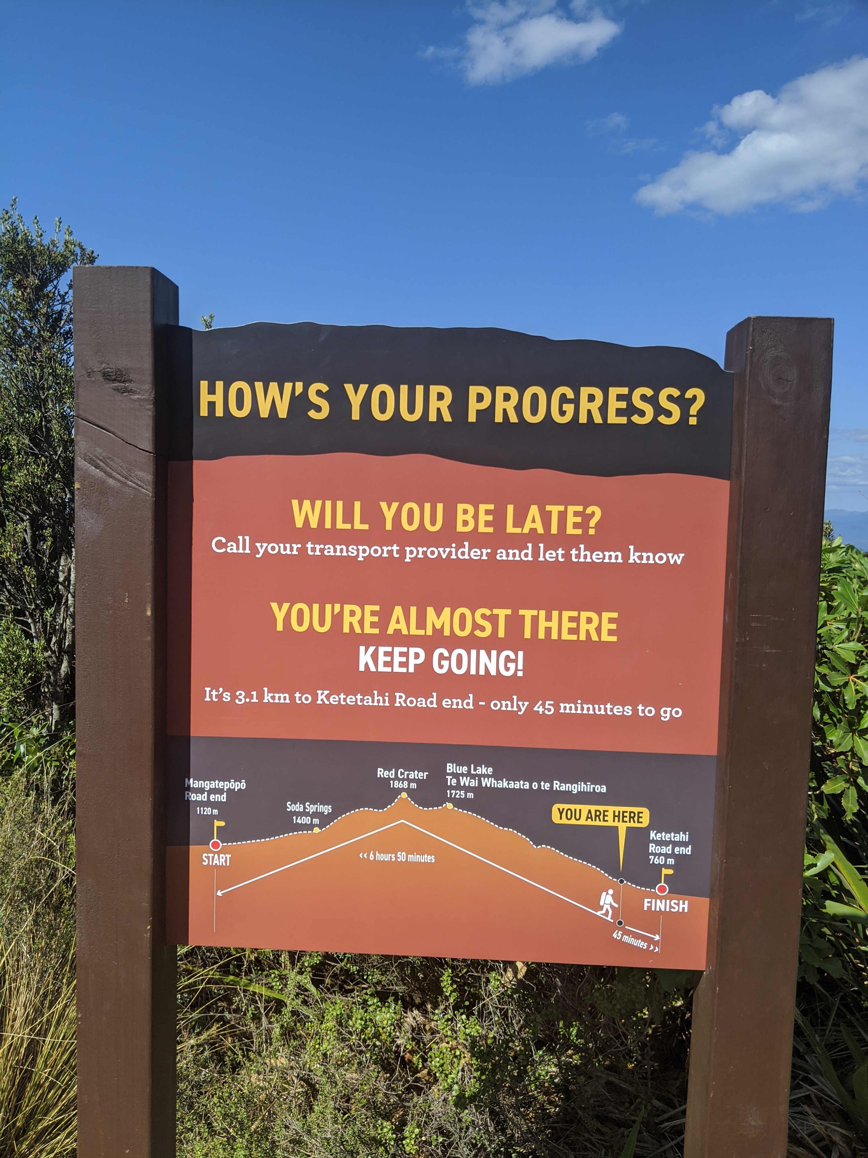
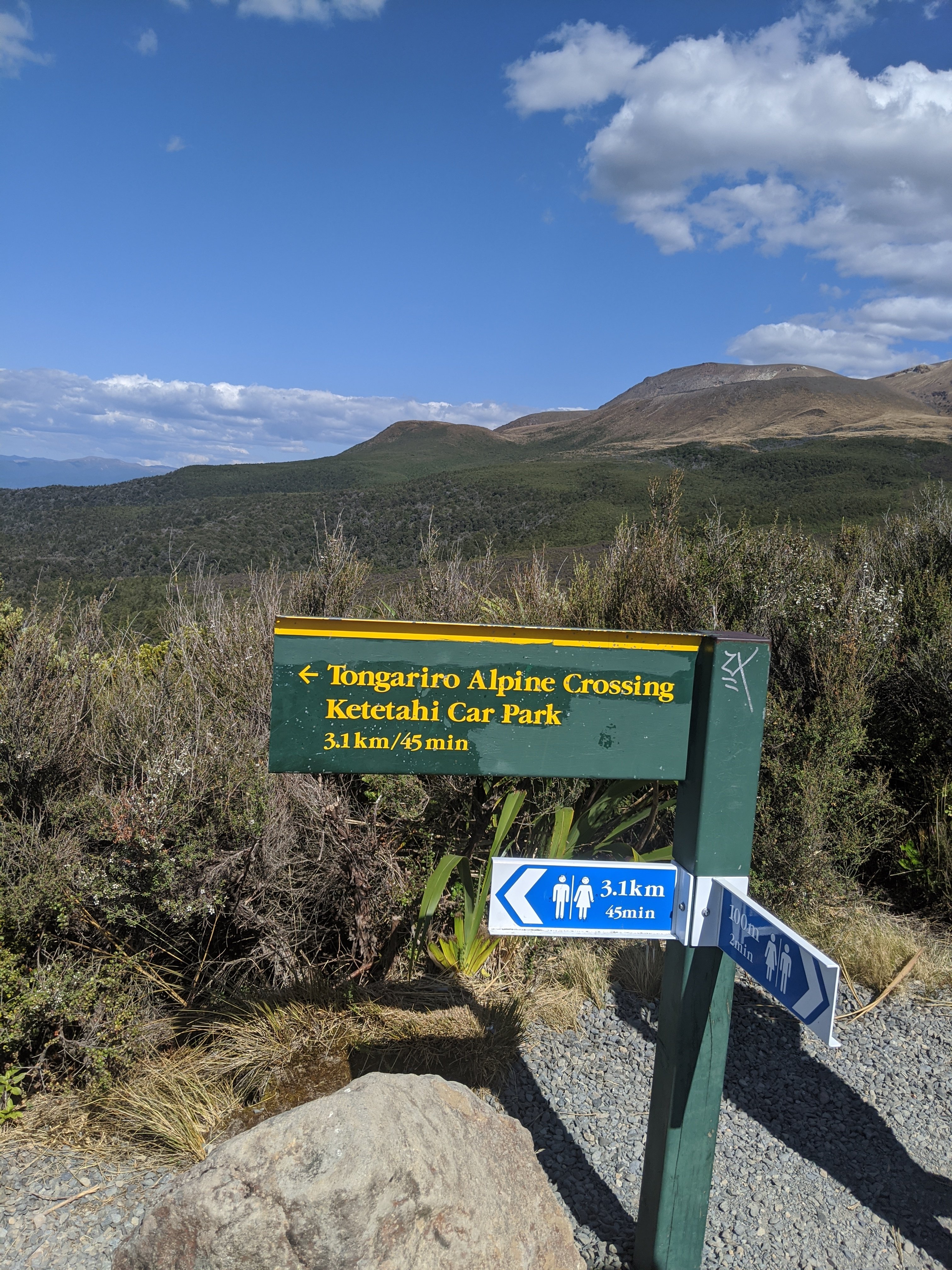
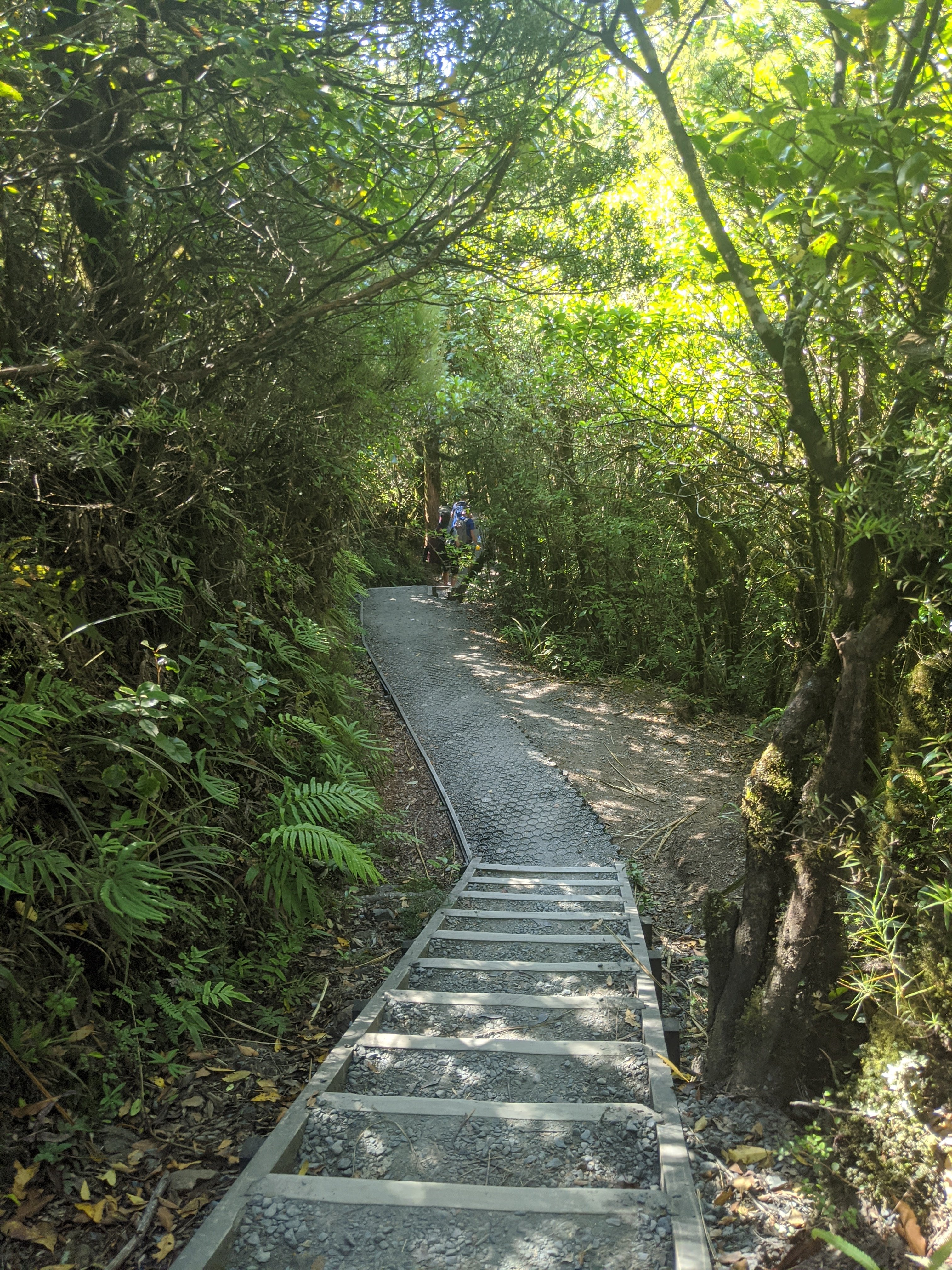
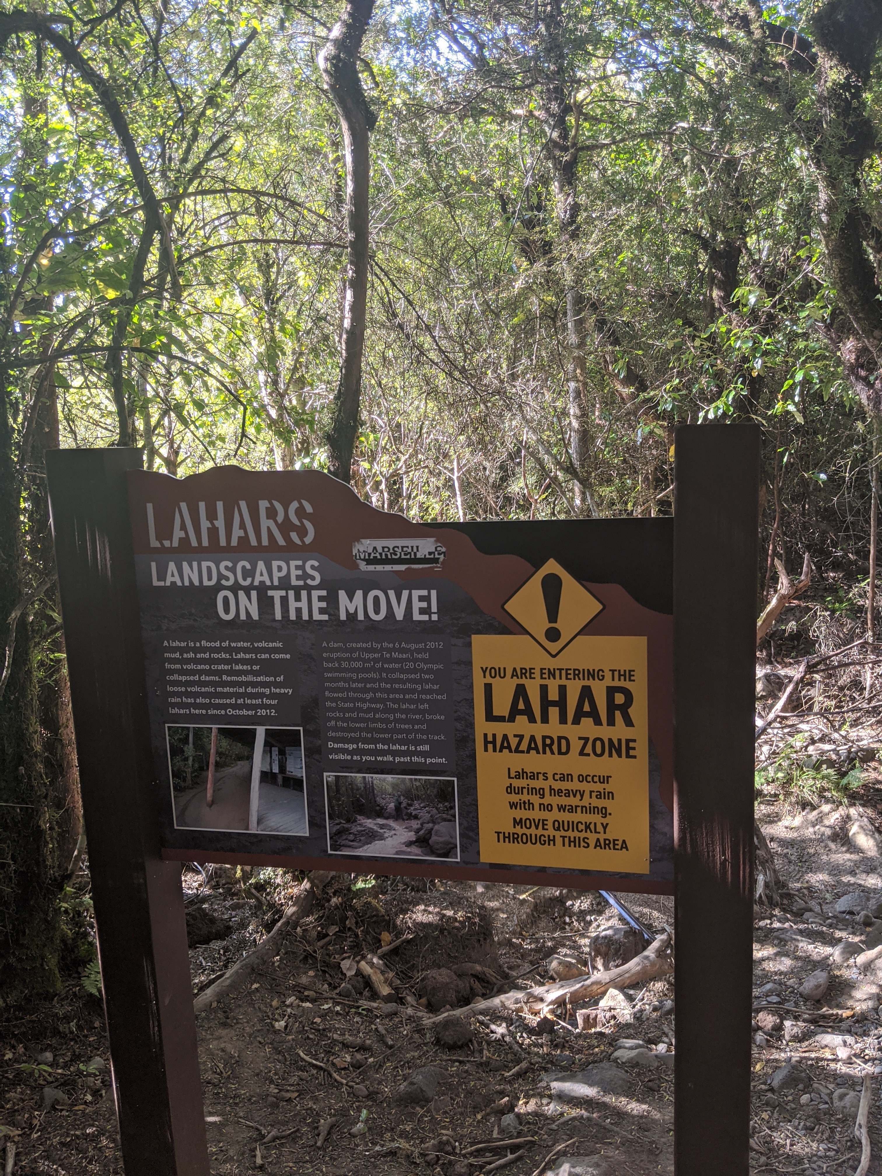
Central crater. Dark area is lava flow from an eruption 300 years ago. We now traveled around this crater and are now on the North side.Blue lake. This is opposite the central crater.Occasionally there are signs that tell you how far you have come and how far you have left to go. We are 2/3 through this hike. The worst is behind us.Lake Taupo ahead is actually the size of Singapore. There are trees from China near there that have been planted. They take half the time to grow and are used for paper mostly.The fumerole from another angle about 45 minutes later on the trail.A rest hut used to stand near here but in the 2012 eruption a boulder took only 15 seconds to hit the hut. Luckily no one was in it and they never rebuilt it.I like the signs showing progress along the way. From the summit on there is no turning back but before that point there are plenty of cautions and time to change direction and head back.So close to the end. It is all downhill from here and in the shade which is very welcome right now!Lahars are areas that will still get the effects from a volcanic eruption. The landscape here will change and there is danger from debris and gases falling.It was a beautiful walk through this section. Very quiet. You can hear birds singing.Finally I was at the end!How far we traveled to get to the end.
Tongariro National Park is New Zealand’s oldest national park and a dual World Heritage Site. The Tongariro National Park is rich in both cultural identity and dramatic, awe-inspiring natural scenery. Unique landforms, including the volcanic peaks of Ngauruhoe, Tongariro and Ruapehu ensure the Tongariro Alpine Crossing is considered a world-renowned trek.
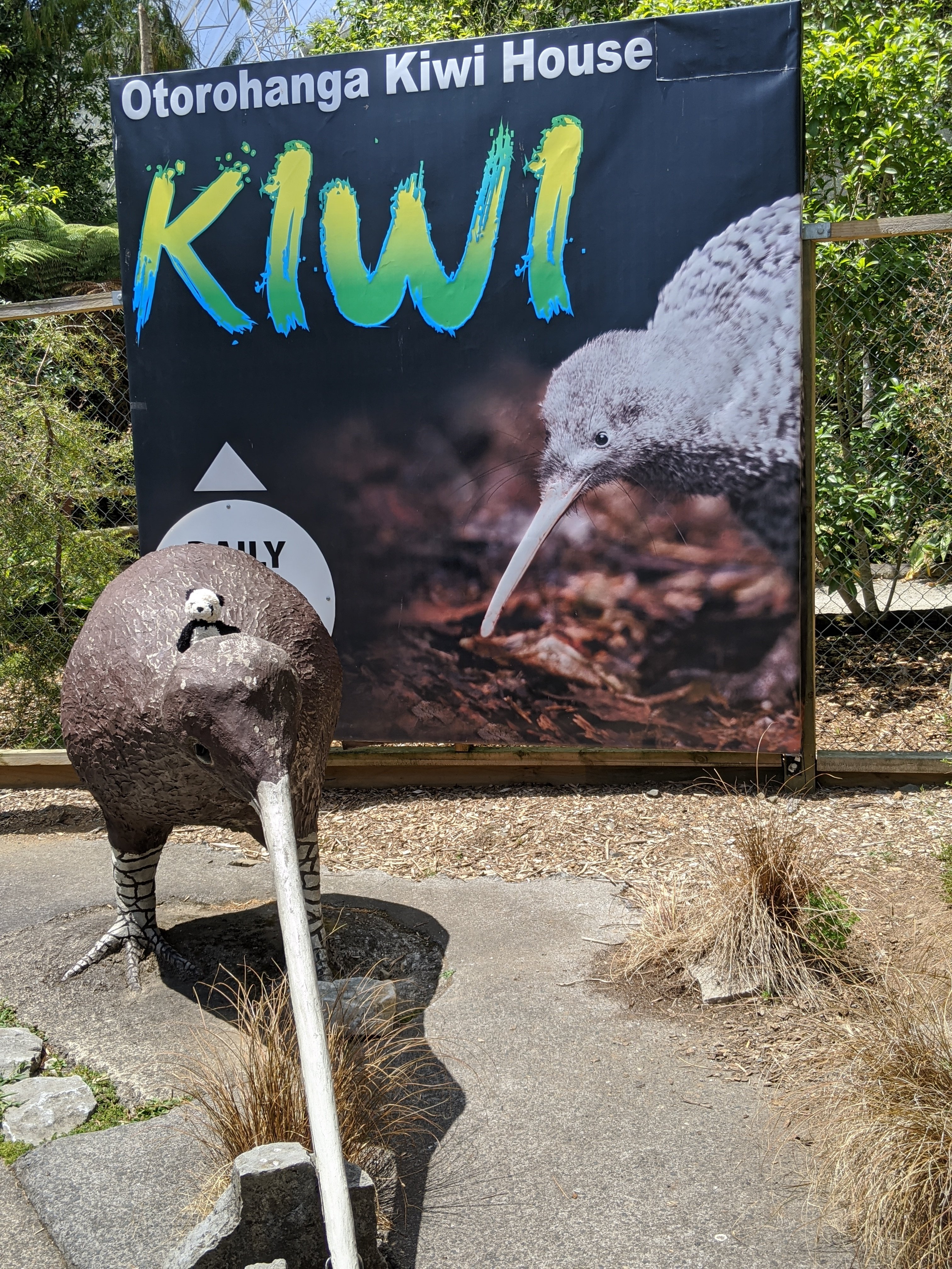
After abseiling we are at the Huhu Cafe and then drive into the little town of Otorohanga. There was a lot bird park. We did see a kiwi but it was in the night exhibit and no photos allowed. The kiwi is the only bird with nostrils at the end of their beak. They are most vulnerable when they are starting out on their own and conservation efforts are trying to help them.
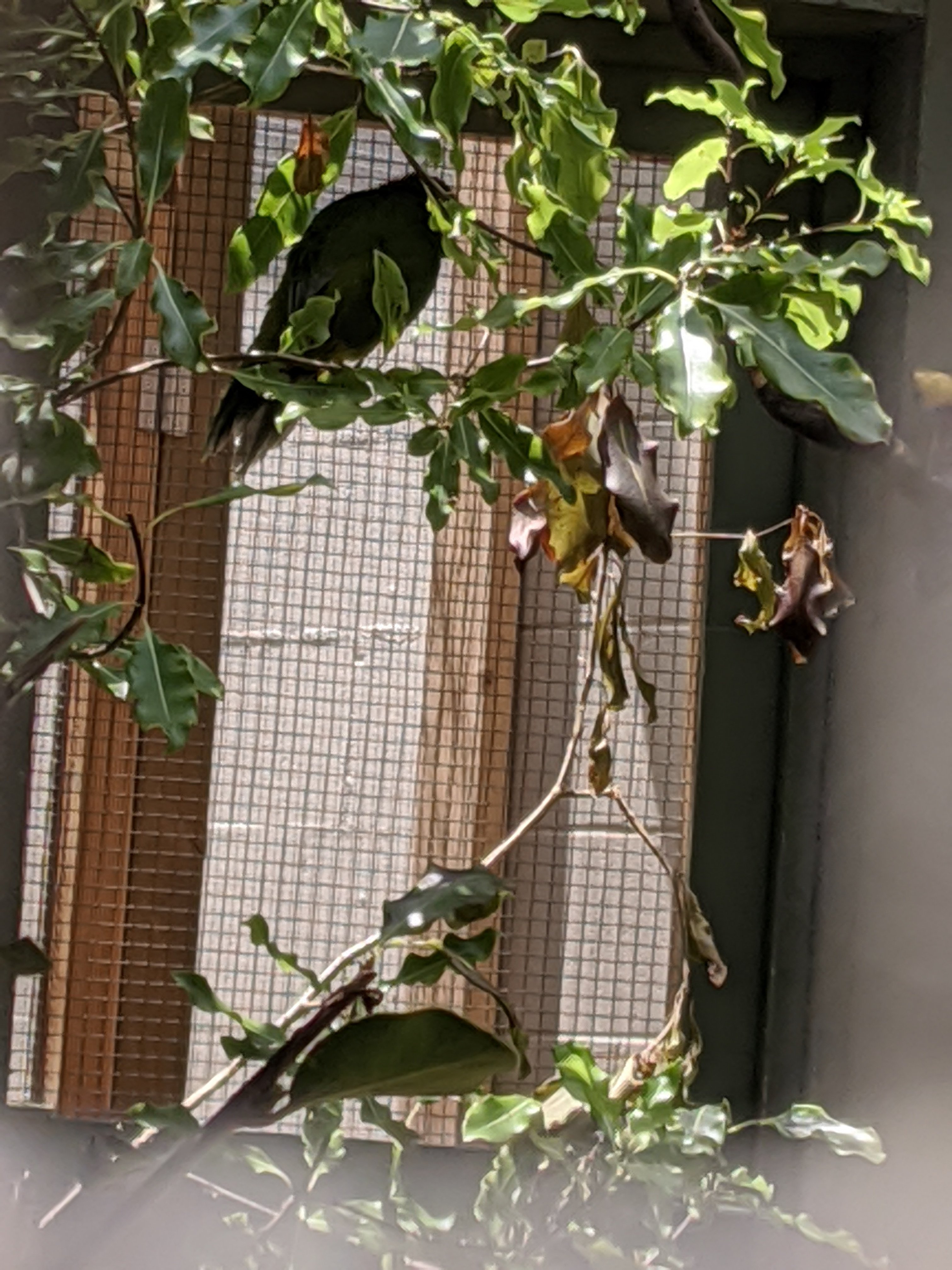
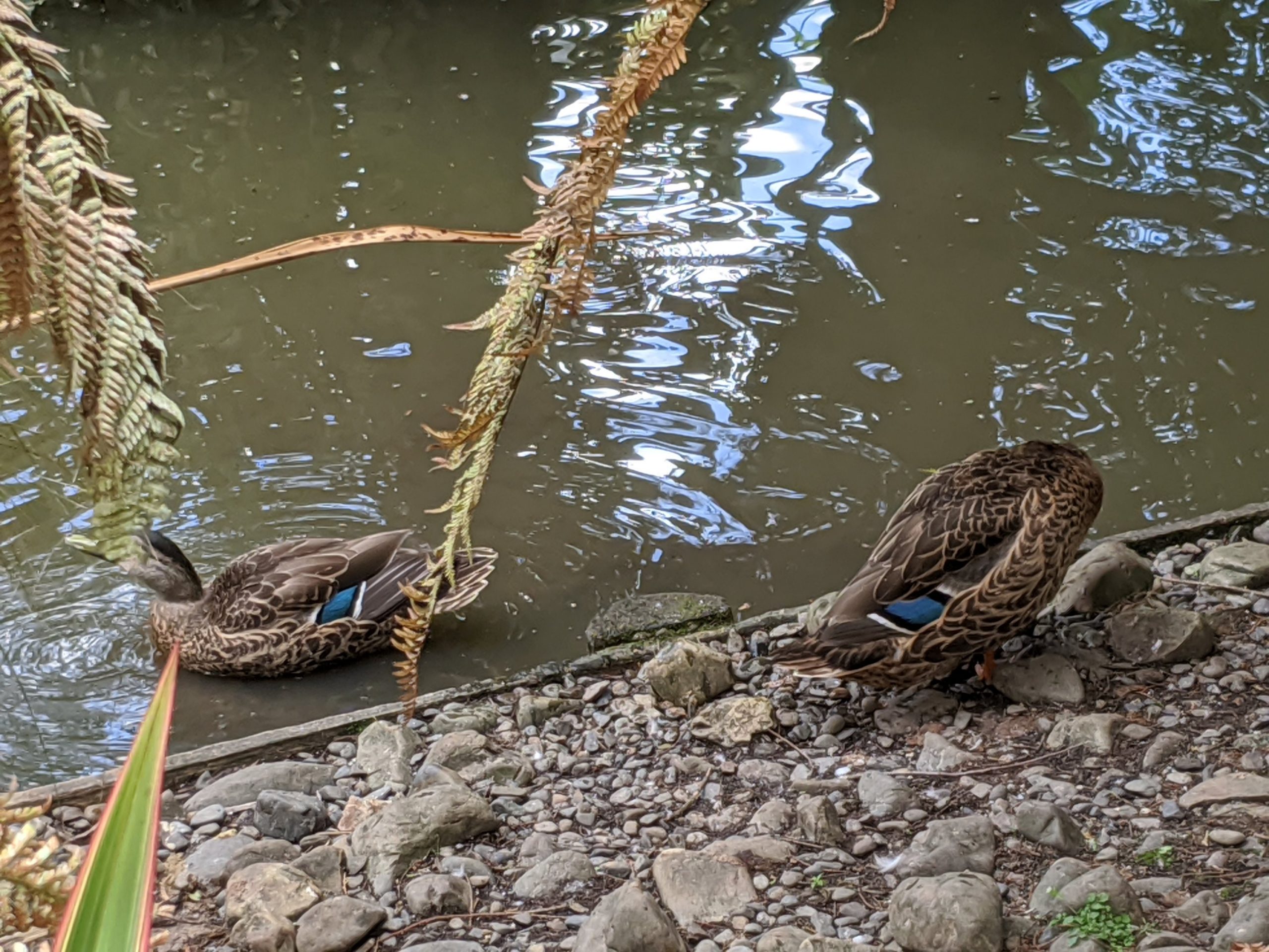
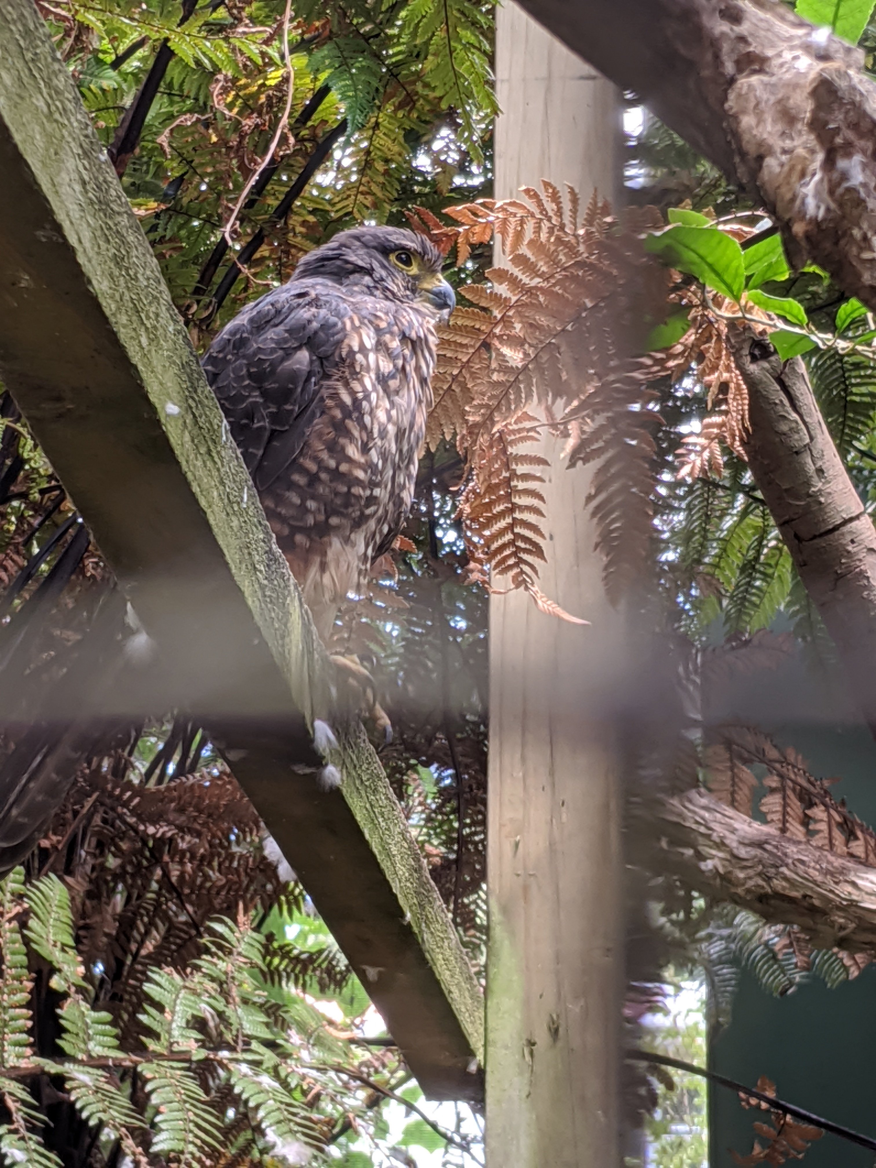
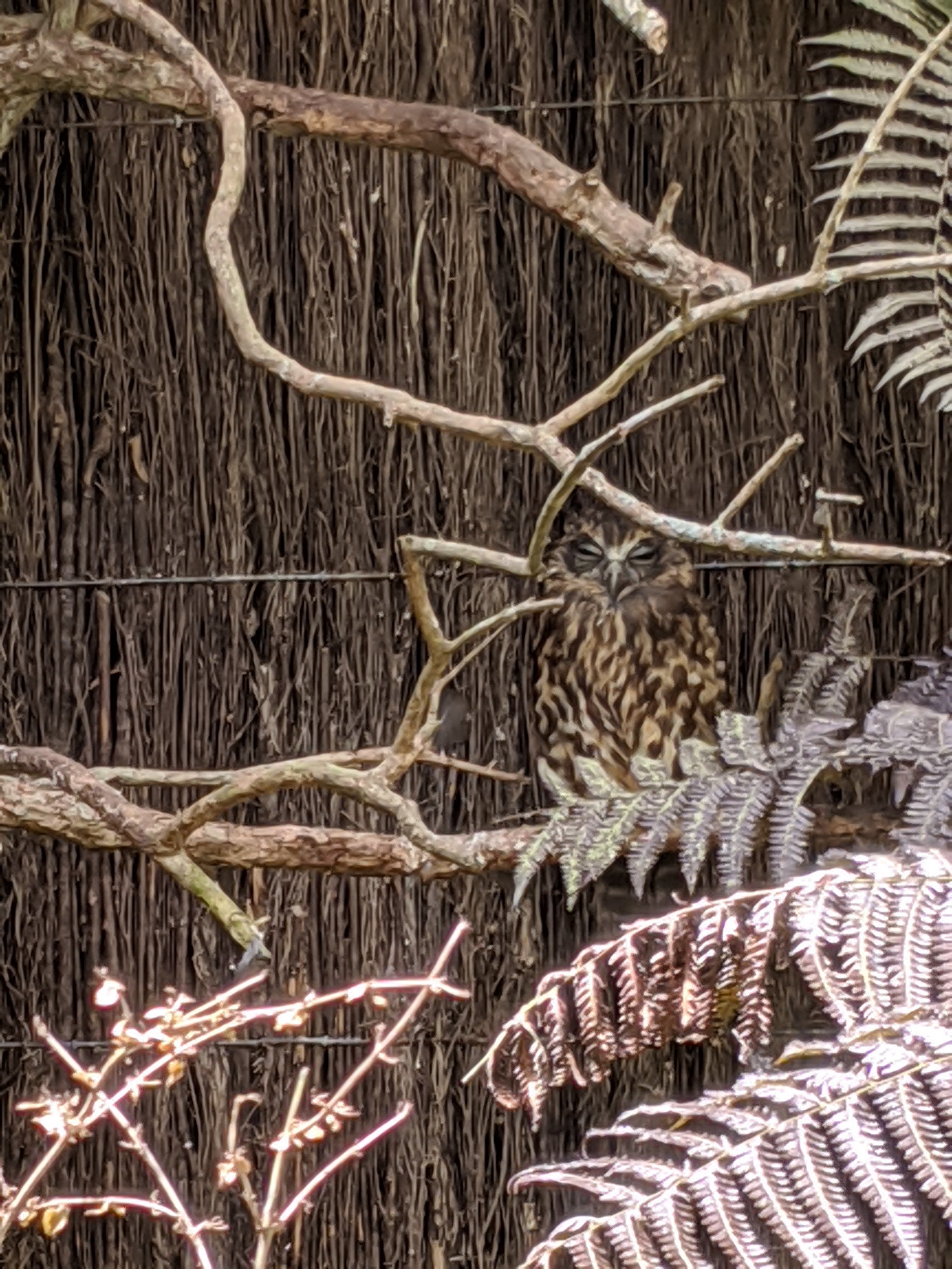
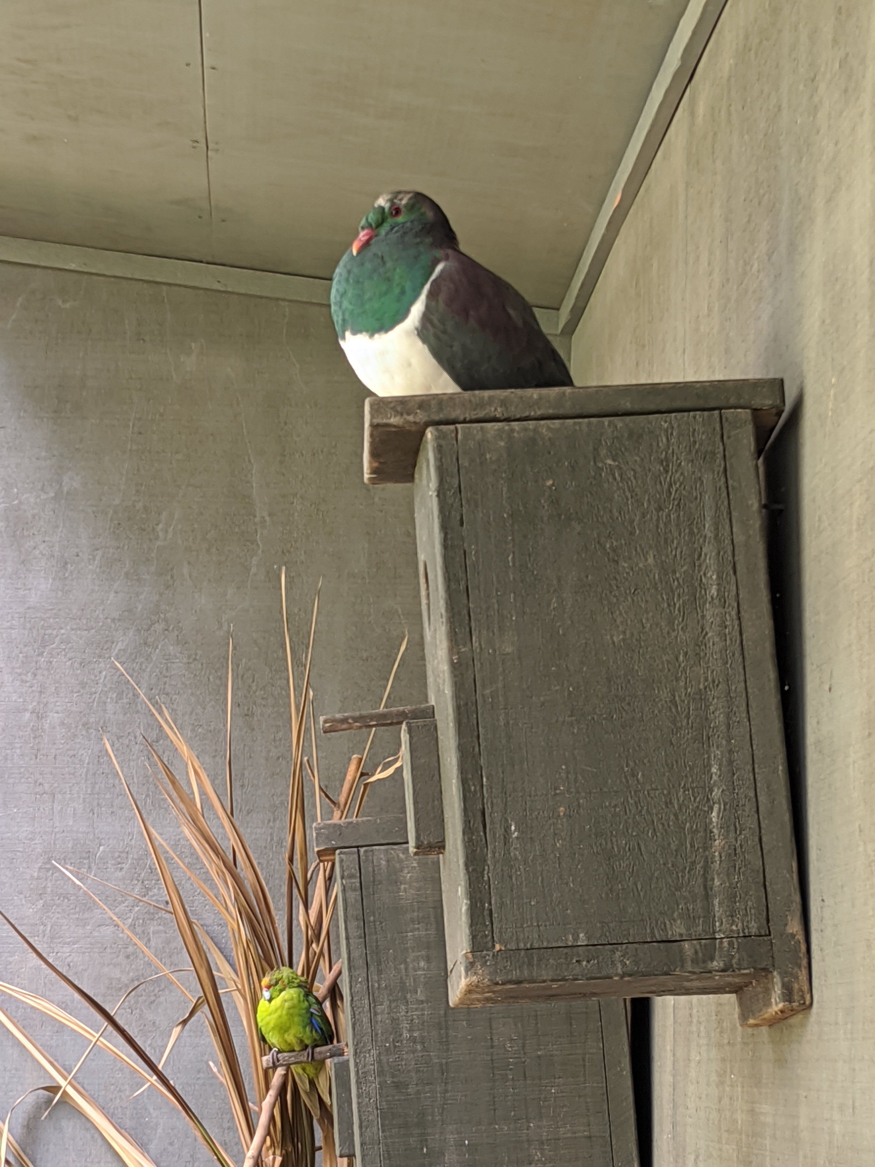
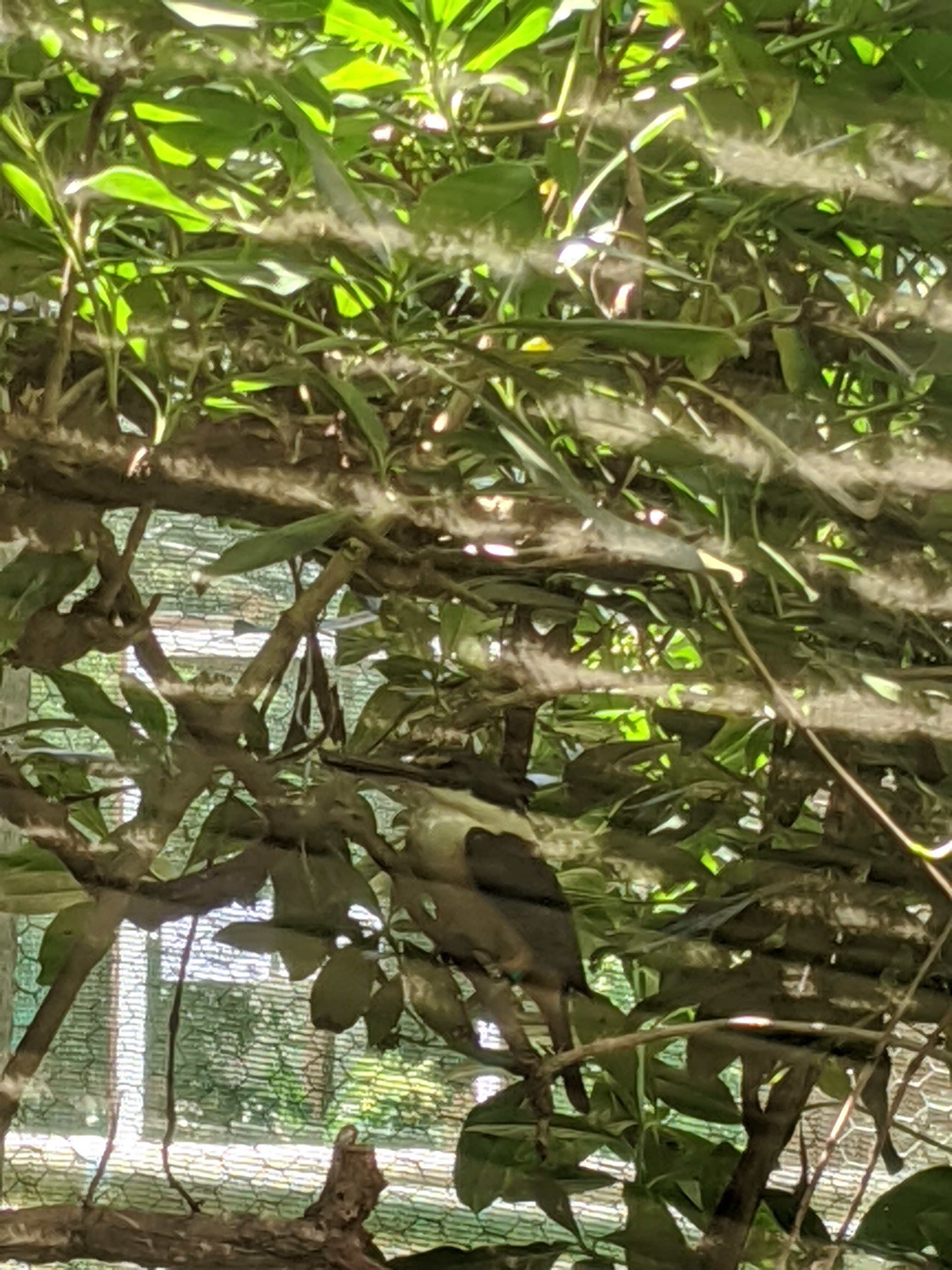
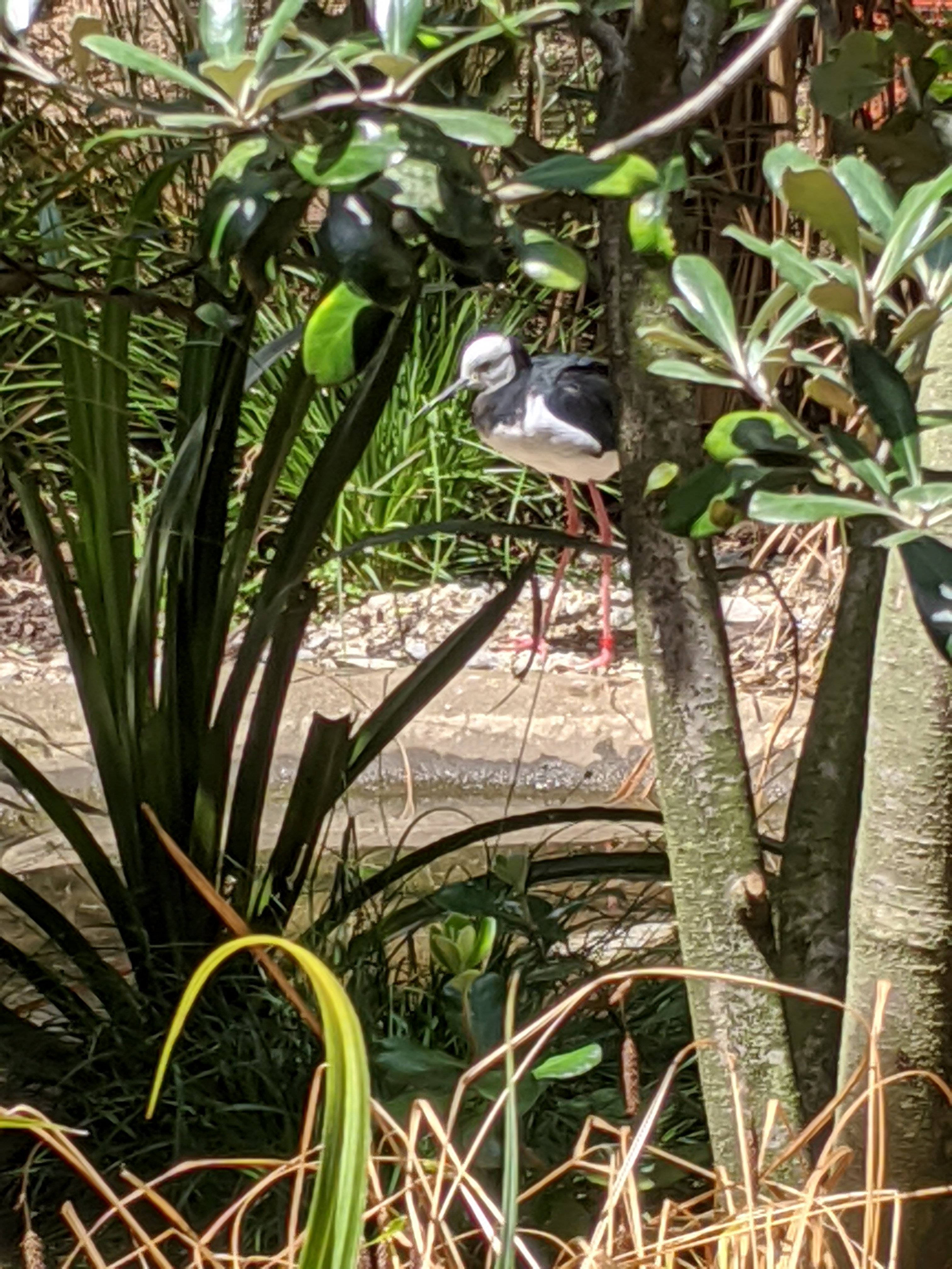
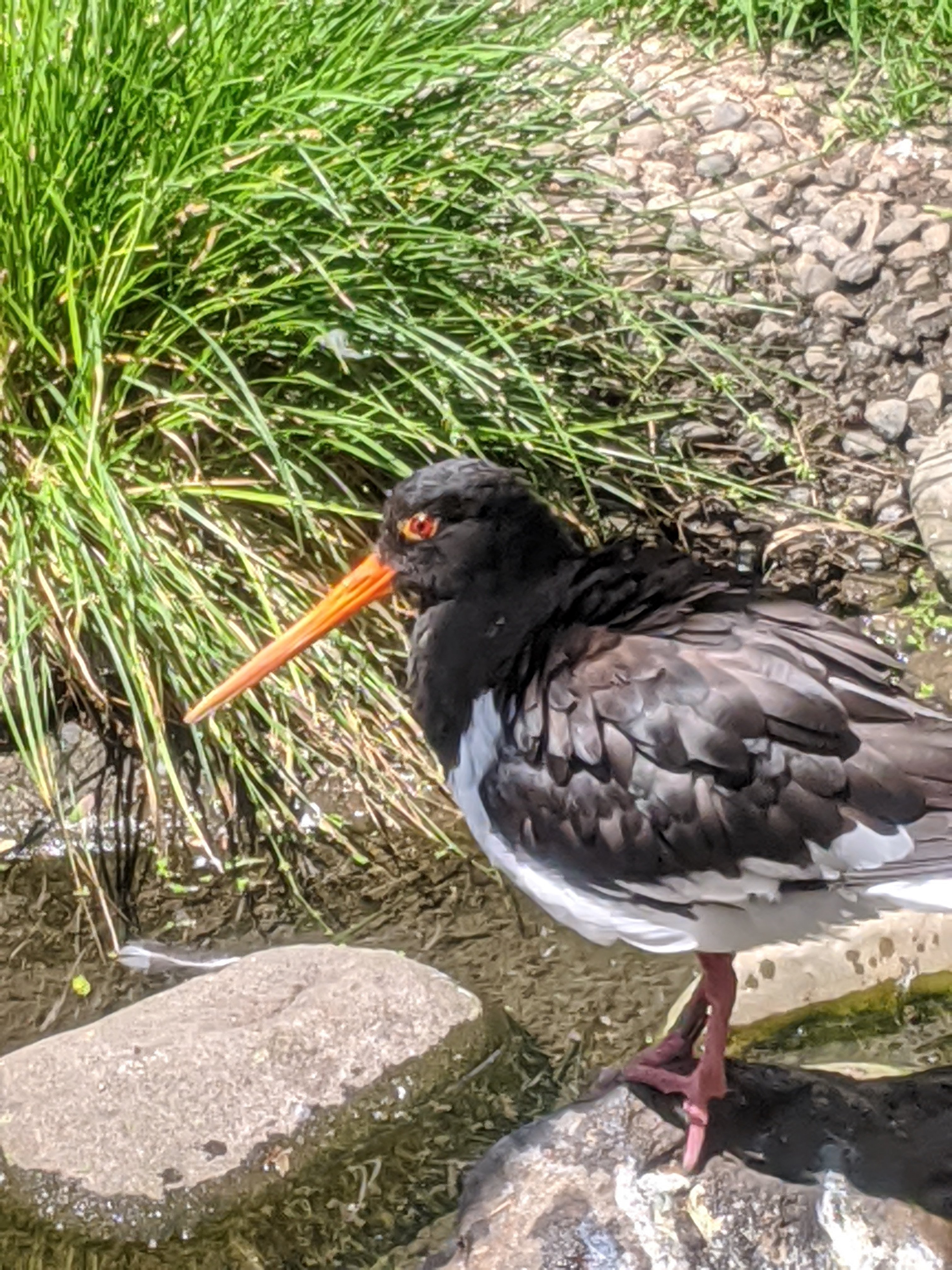
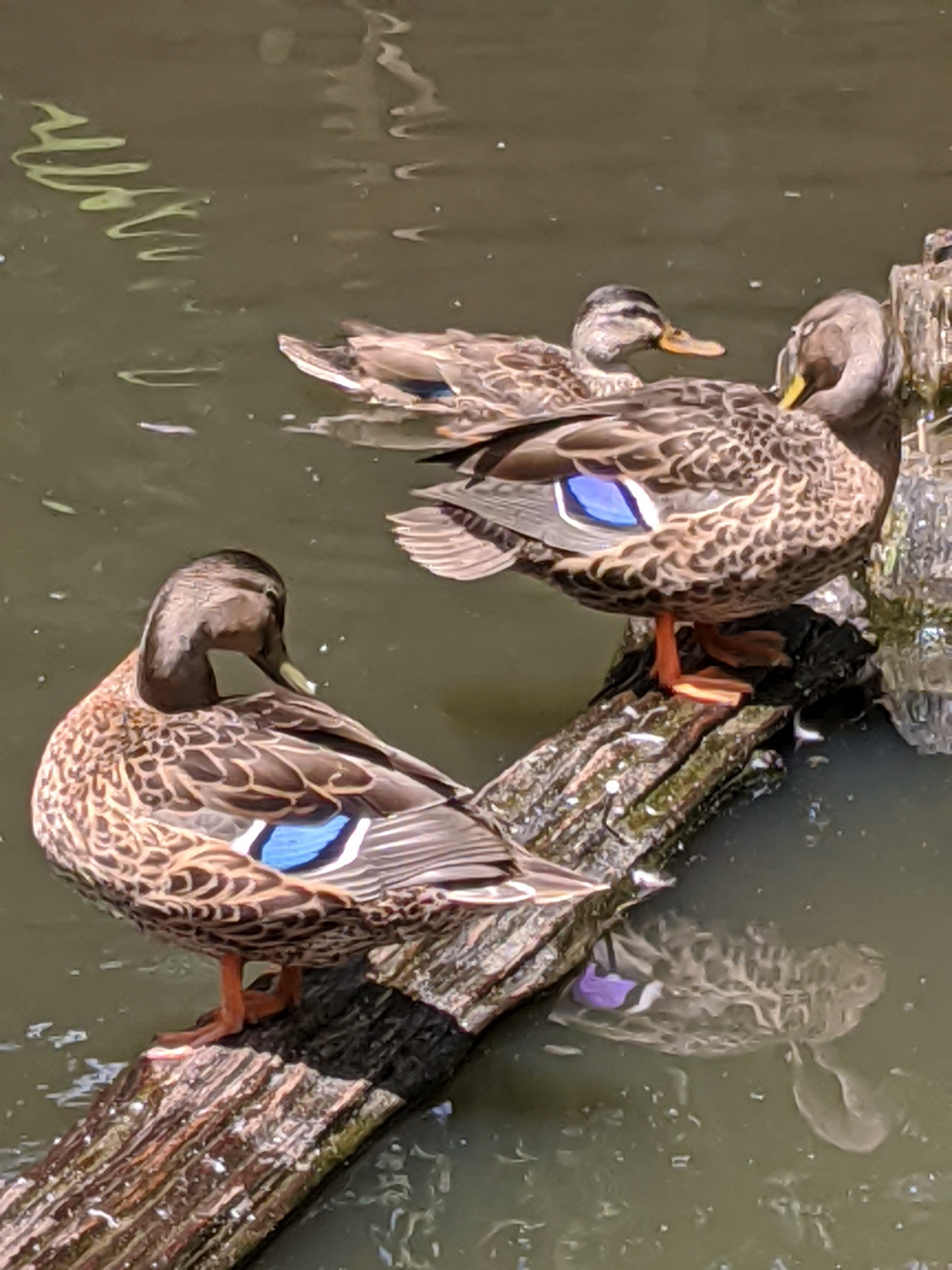
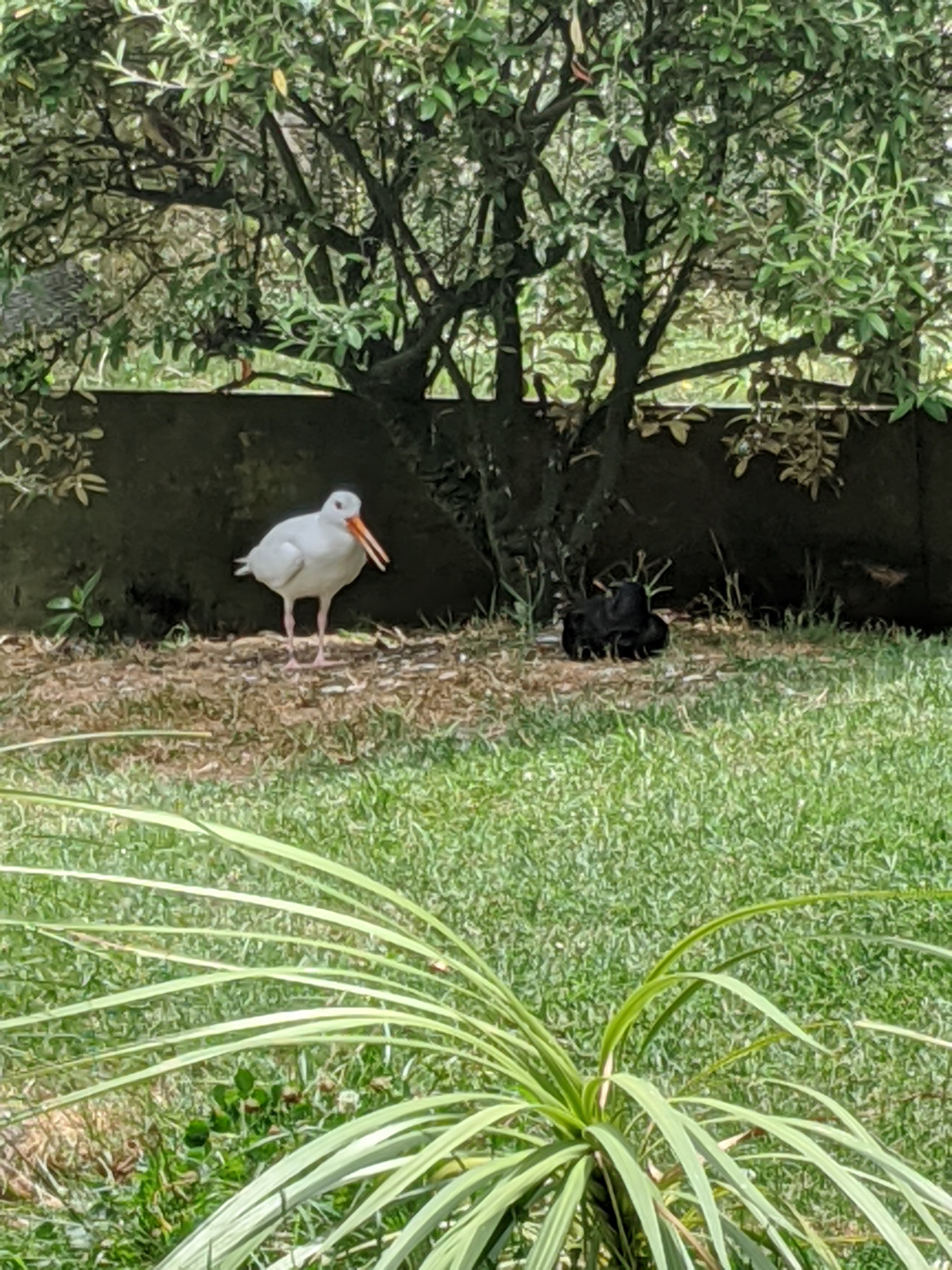
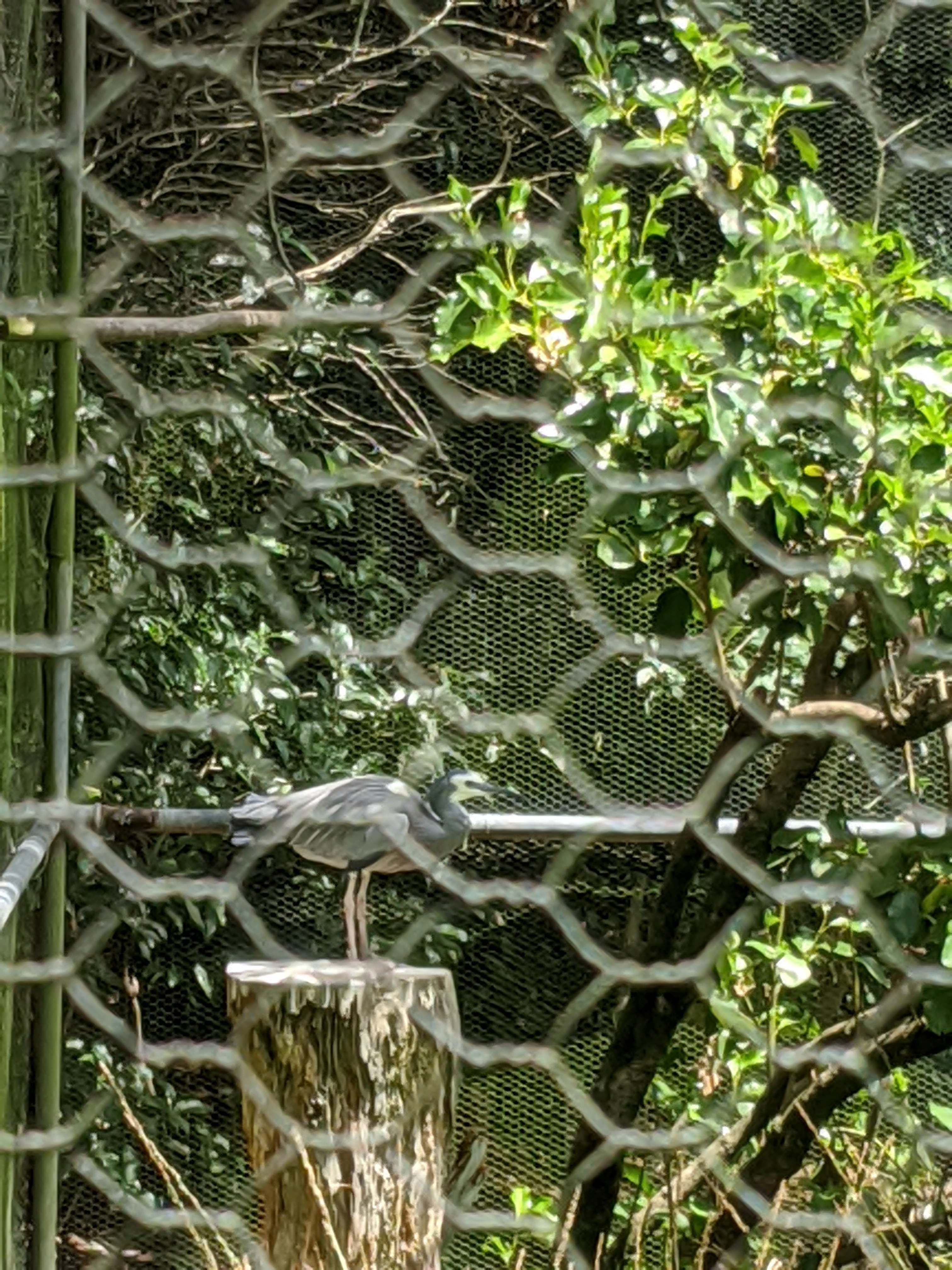
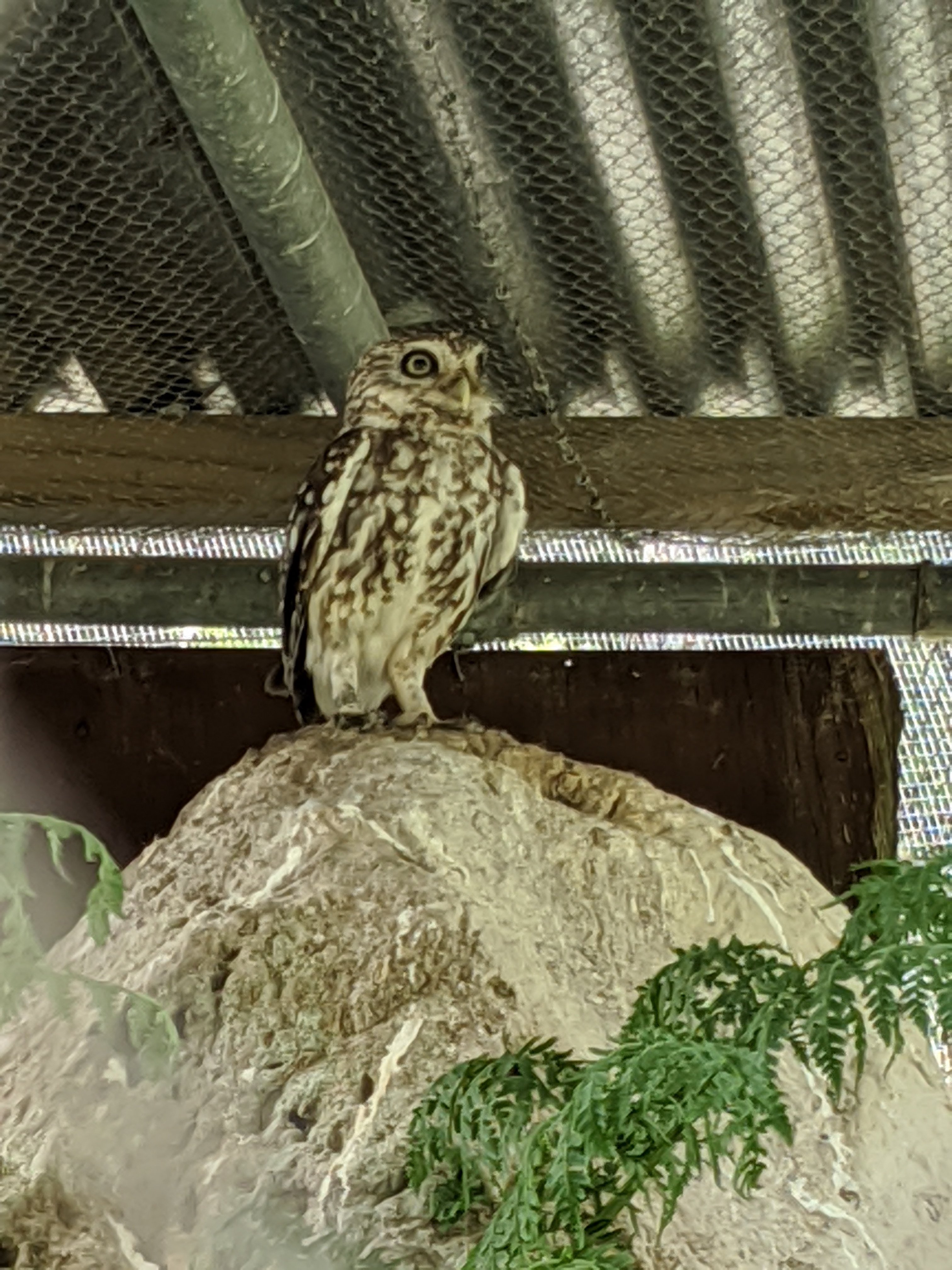
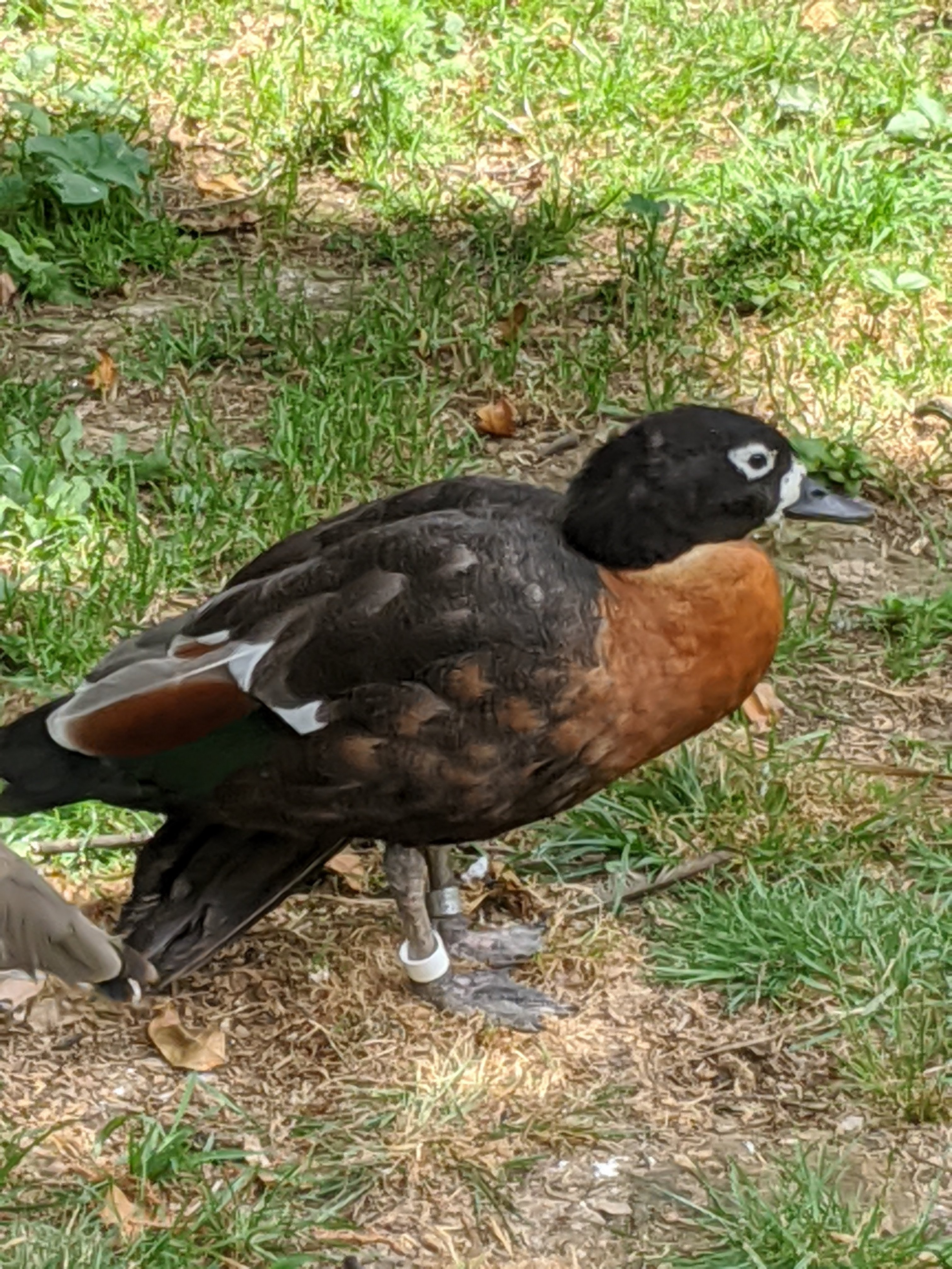
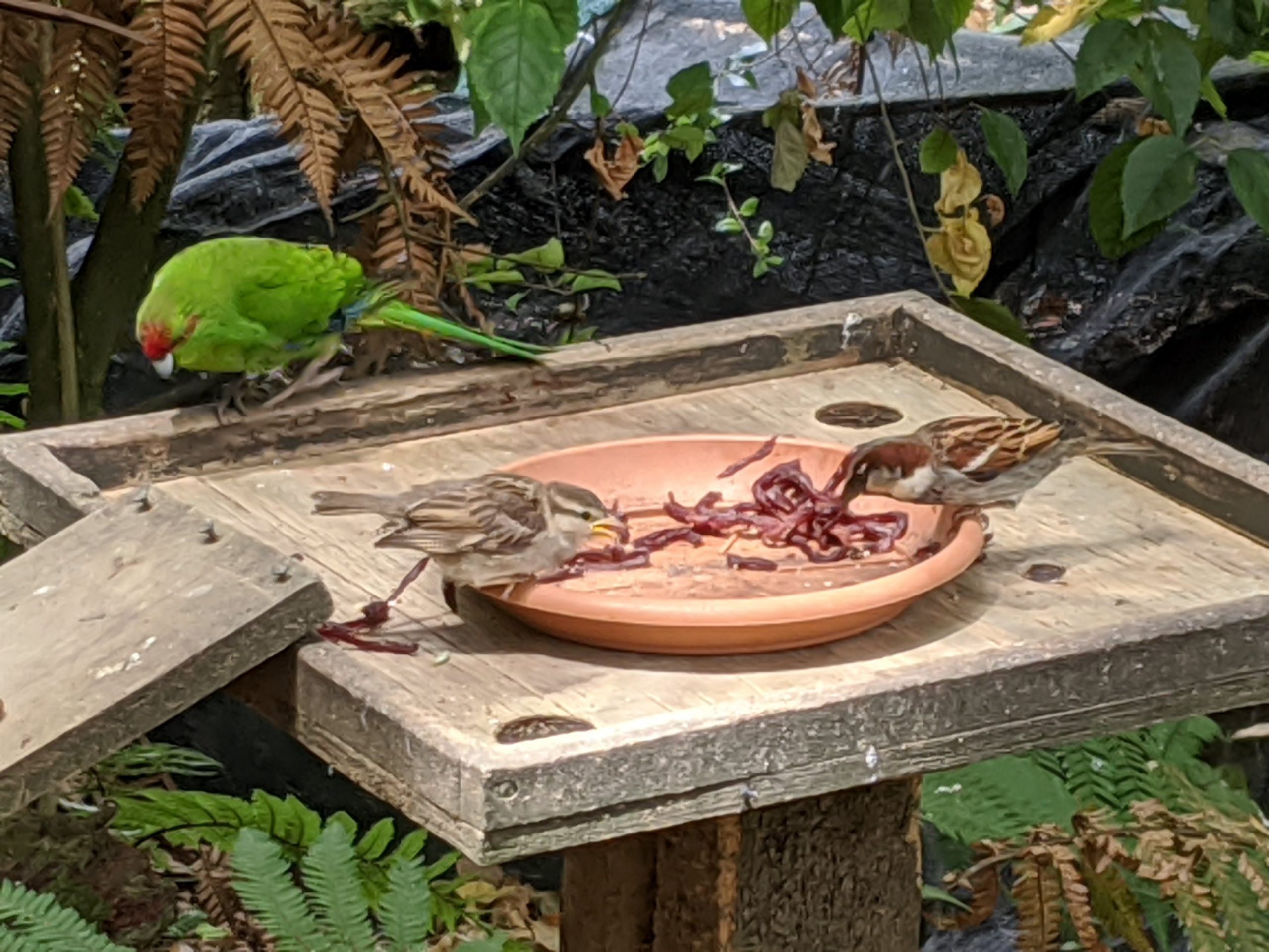
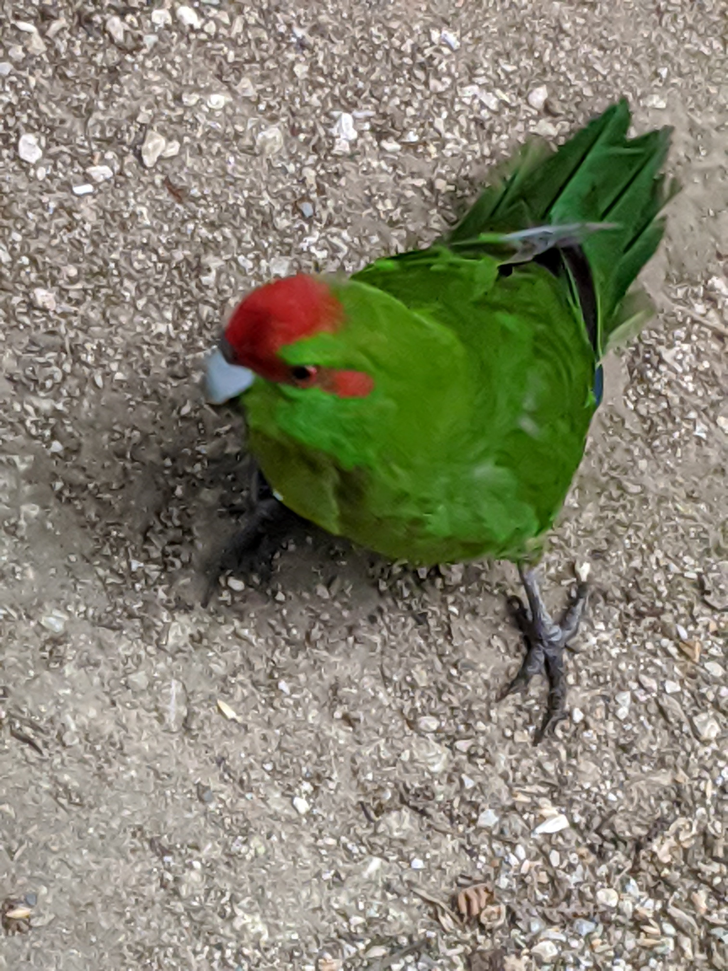
Ruru. NZ Owl.Ducks of course.Karearea. NZ falcon. Introduced predator is a stoat like a large ferret. Ruru.Kakariki. Red crowned parakeet. Kereru. NZ. Wood pigeon. Sacred kingfisher.Pied stilt.South island pied oystercatcher.Variable oystercatcher.White faced Blue heron. Little owl.Australian shelduck.In the large flight enclosure.The symbol of NZ is the silver fern and the kiwi.
We walked downtown thought most places were closed. We saw a display about Sir Edmund Hillary (first to climb Everest and humanitarian) and all we wanted to know about New Zealand. A few things we saw…
Now the 2+ hour drive to our next adventure: an 8 hour trek through the tongariro crossing. A tough hike.
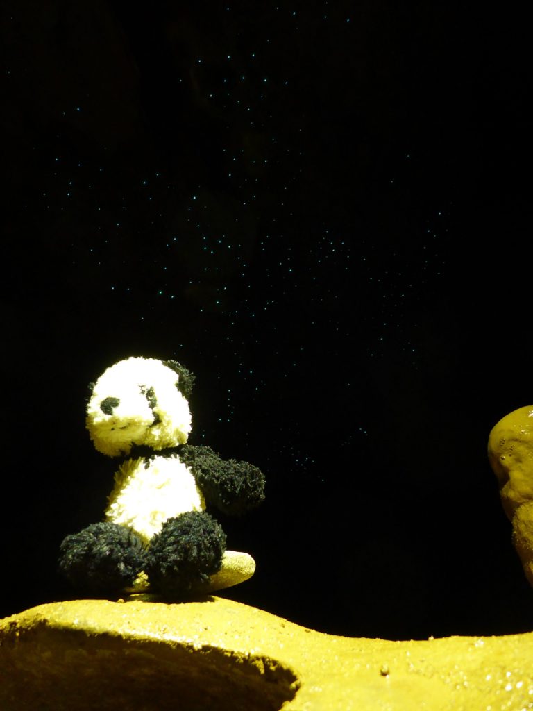
They are not really glowworms. I’ll tell you what they are later in this post…
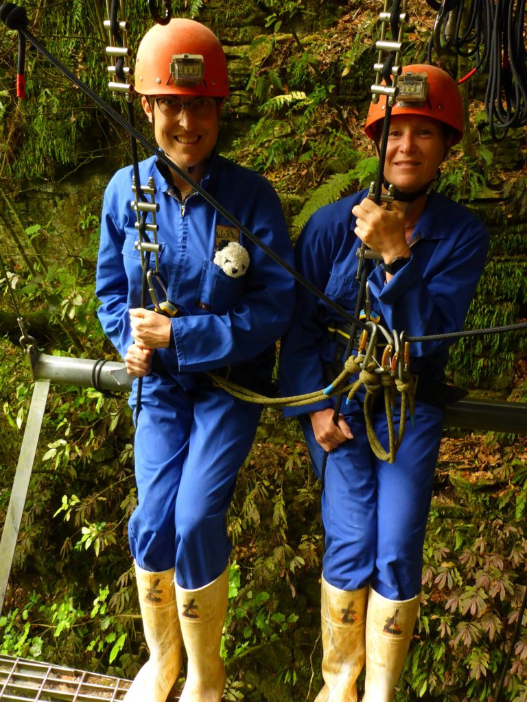
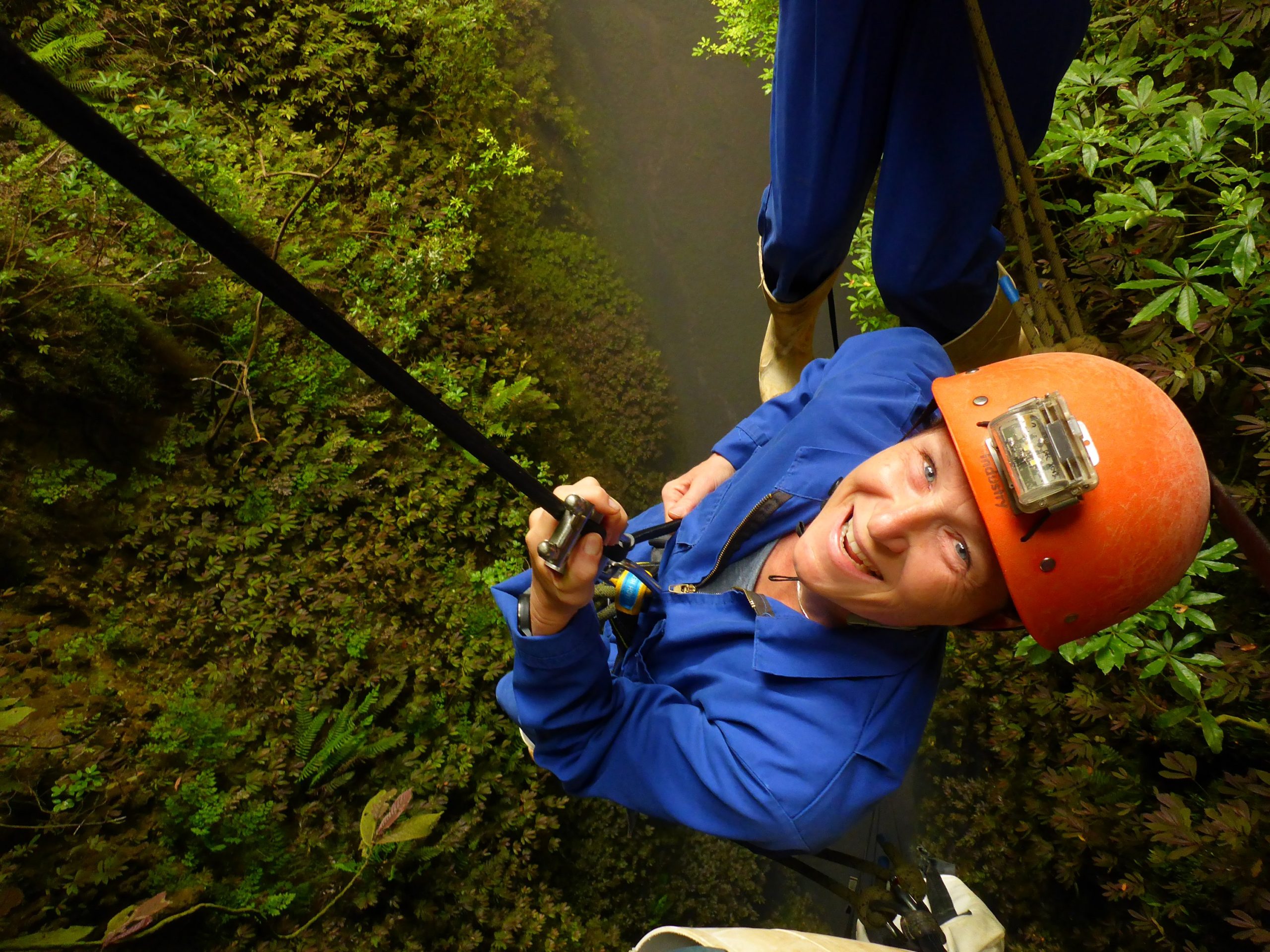
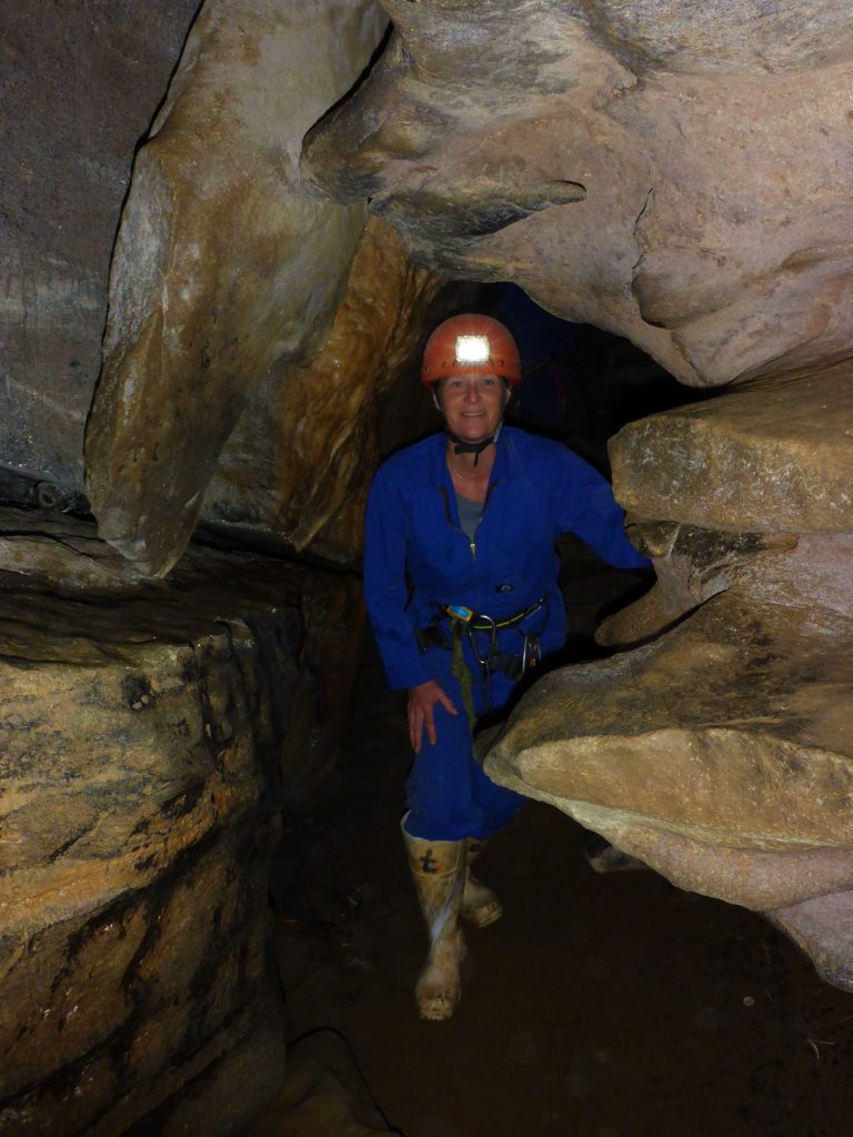
When we wanted to go to see them we were going to do the usual tour where there are 50 people all on the same slow tour. I hate crowds and want to do more adventure. When Caroline found a company that uses a farmers land to abseil into a cave then climb out a ladder it seemed the perfect thing to do on this trip. We chose the 4 hour Lost World Tour.
Luke was our guide and he was great at making you comfortable and helping all the way. I had rappelled in college but had not done this. It was easy in the end. Along the way though we told him he was crazy every time he showed us the next step, but we did it.
We walked to the entrance and along the way we practiced clipping our rings to the guide ropes so if we fall we don’t go far. There are new sections of ropes you tie on to along the way and doing it wrong means you owe Luke a beer.
At the entrance of the crevasse, we tried not to look down. One step at a time… First you sit on a little bar away from the platform. Small leap of faith… (I seriously needed to remind myself that I just jumped out of an airplane and this should be easy…)
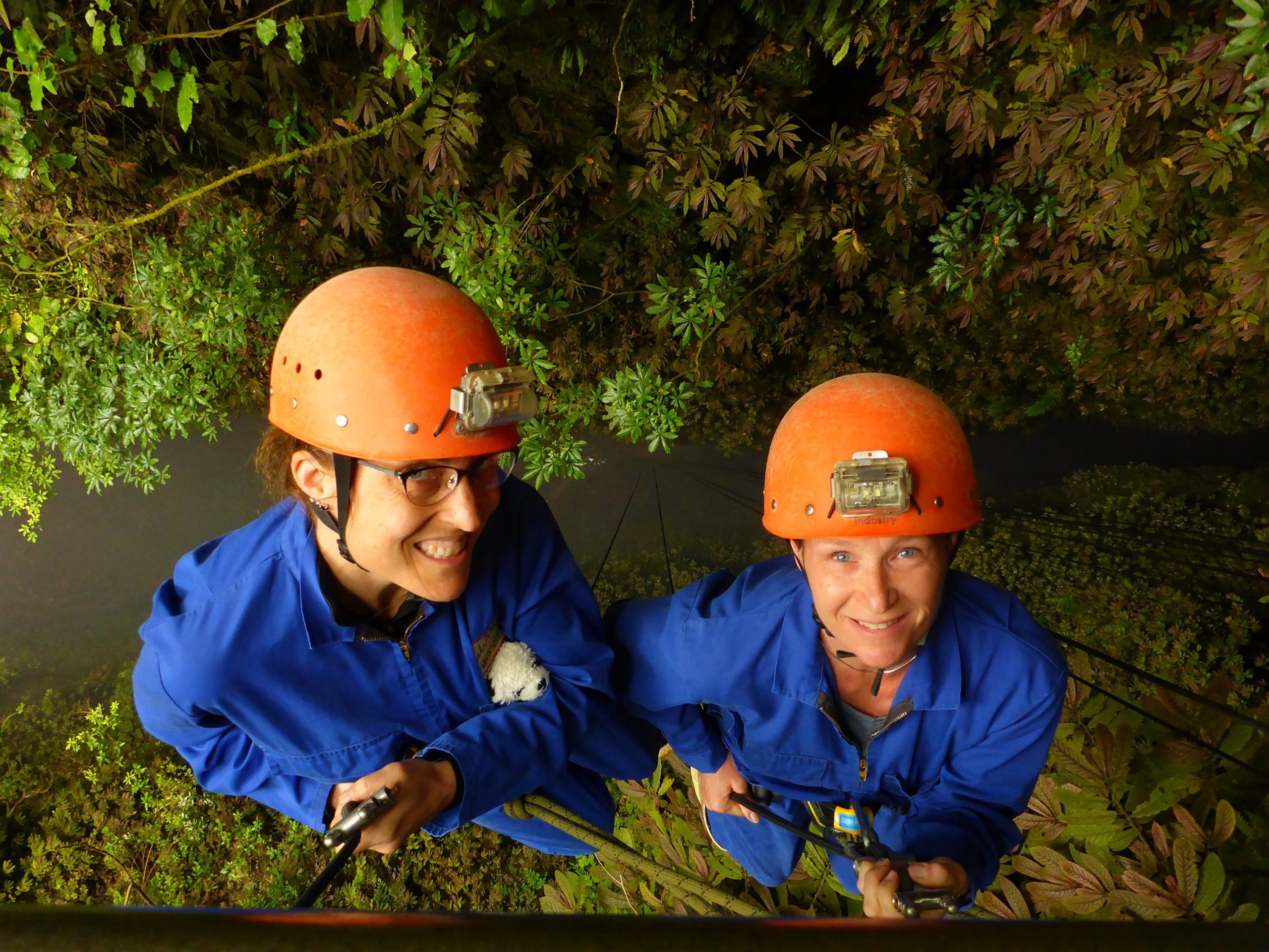
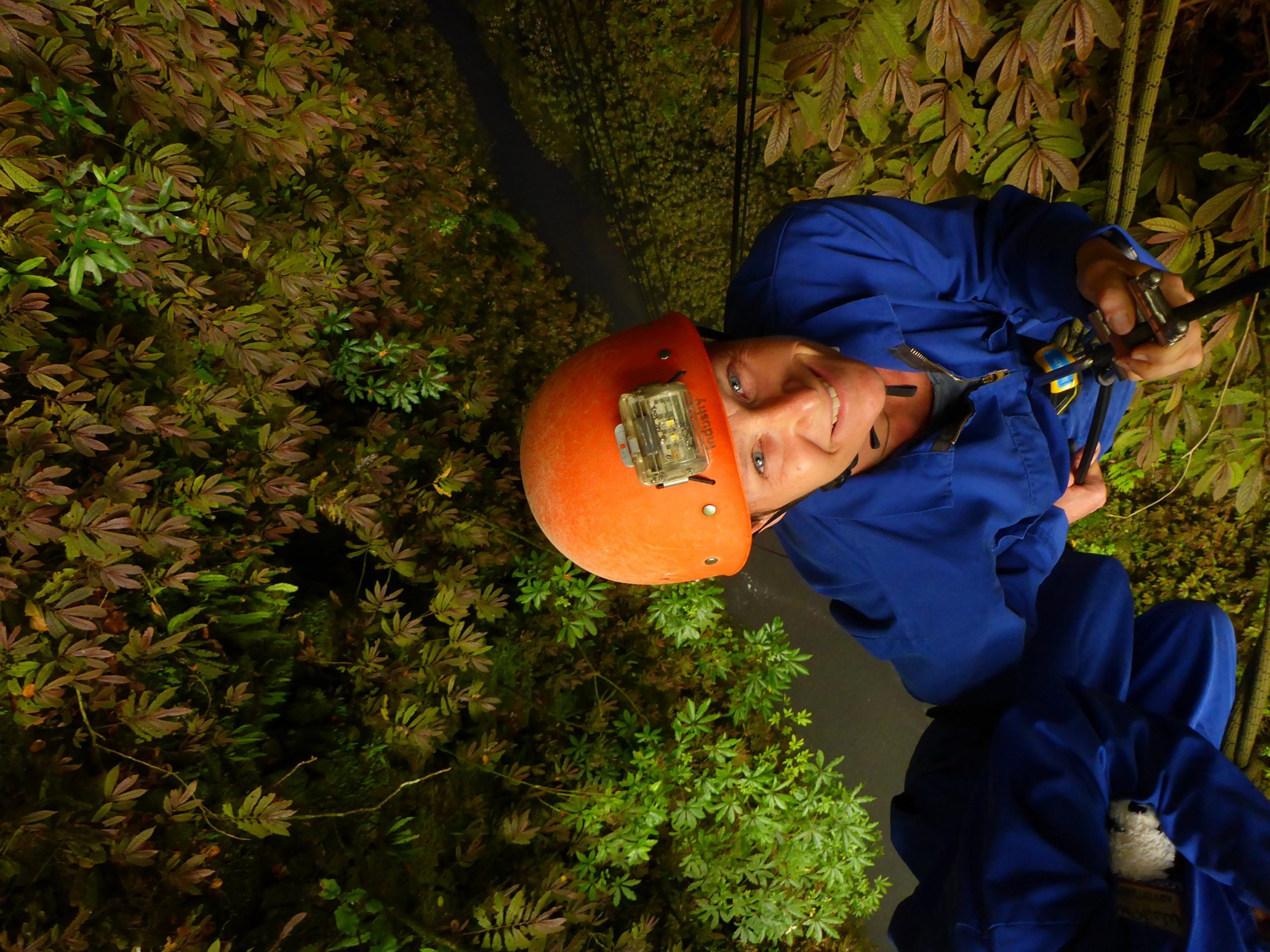
Then you learn how to control the rope along the way. You just slowly lift the rope from your right hand to go down a little at a time. The weight of the rope below keeps you from going to fast. (As you go down there is less rope below you so you speed up along the way and have to wrap a foot around the rope for more control.) We are clipped to Luke so there is even more security. Before we knew it we were descending into the caves. Easy peasy.
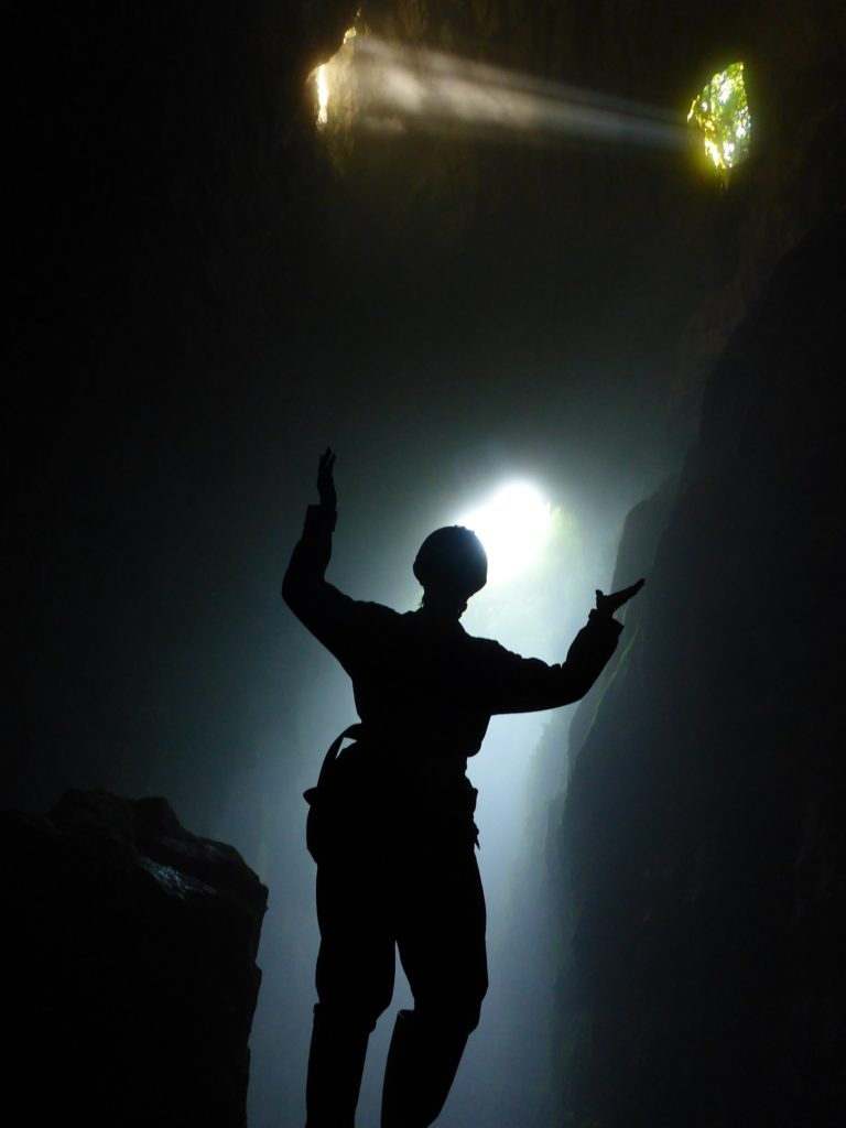
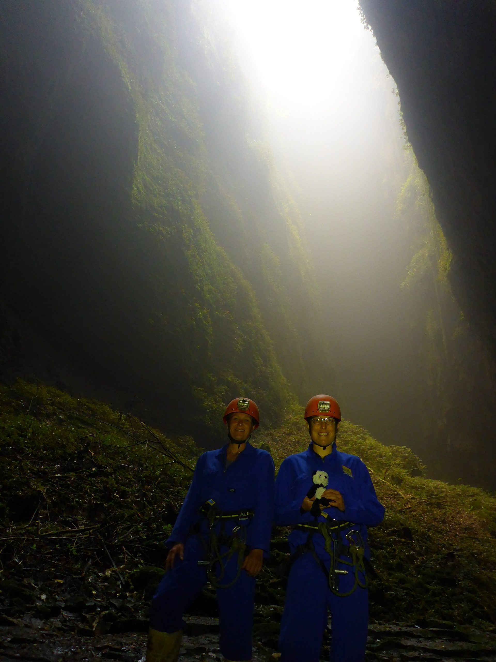
This is actually as we started to descend.
It was great having a guide, someone to make sure we don’t screw up, and who takes pictures of everything so we could just enjoy. Oh…and he carried water and snacks for us.
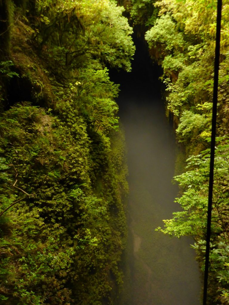
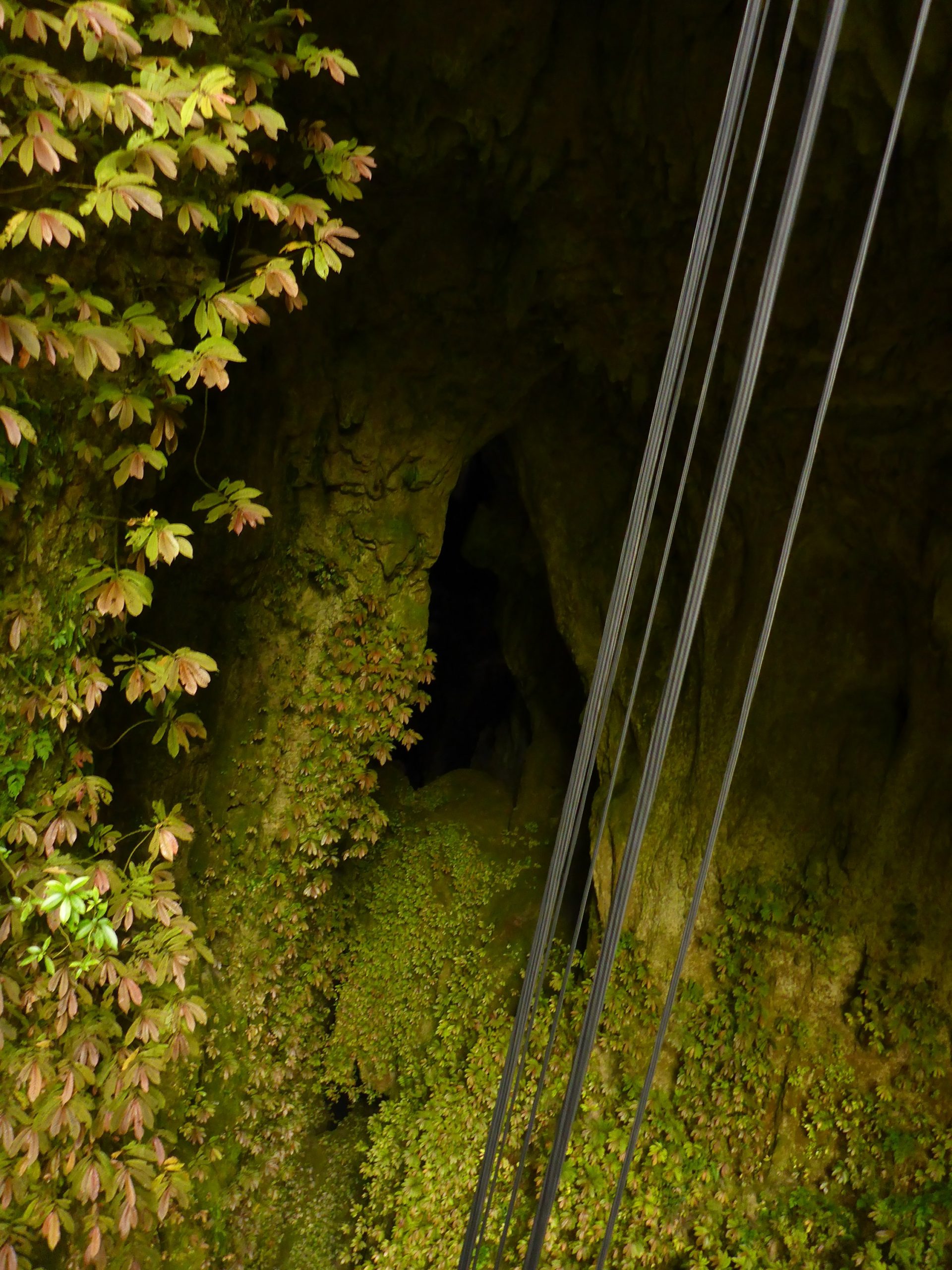
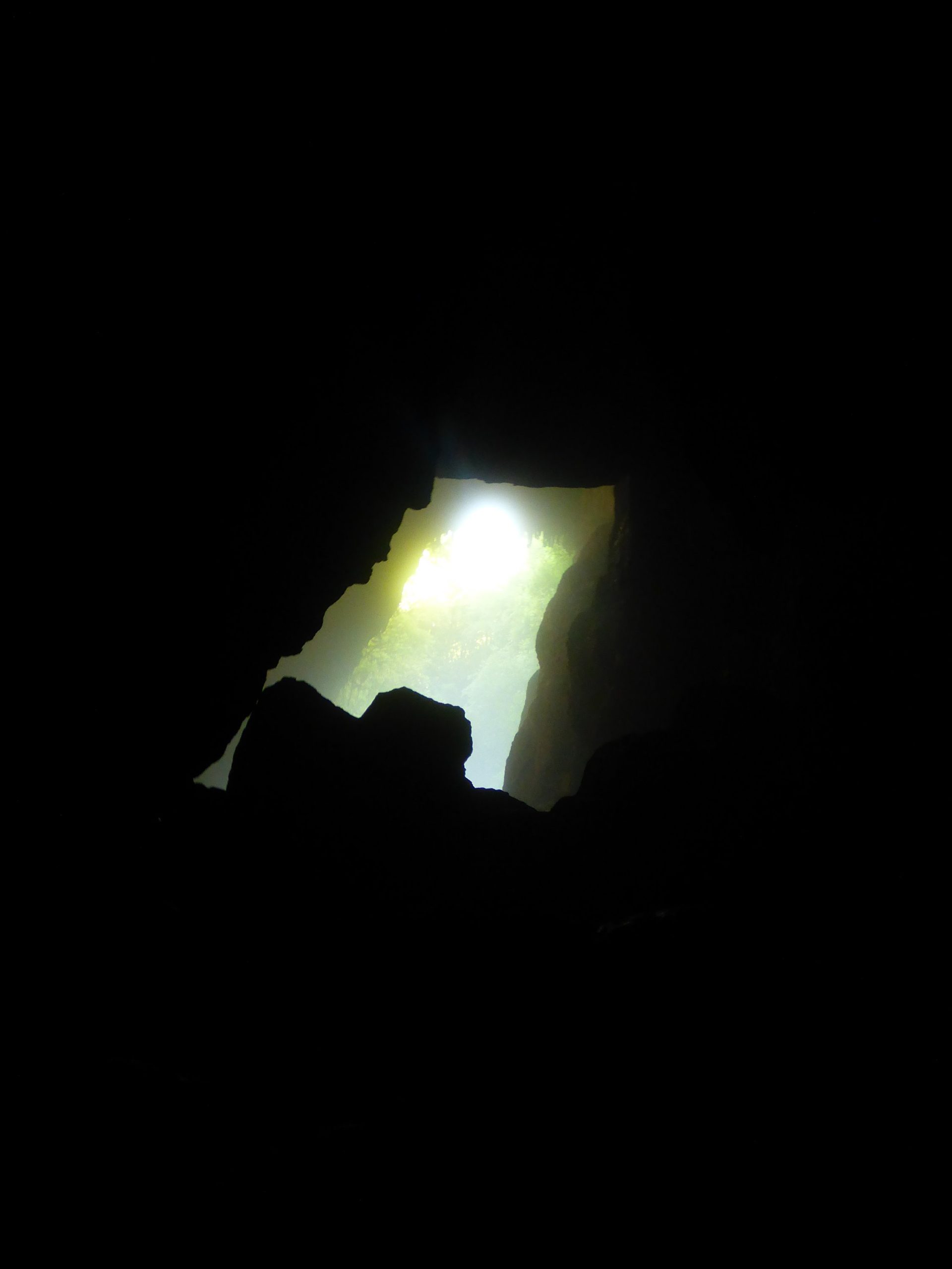
This is what we saw as we descended. This is why the tour is called the lost world.
At the bottom the top looked so far away as we had abseiled 100 meters down. The biome changed as we descended.
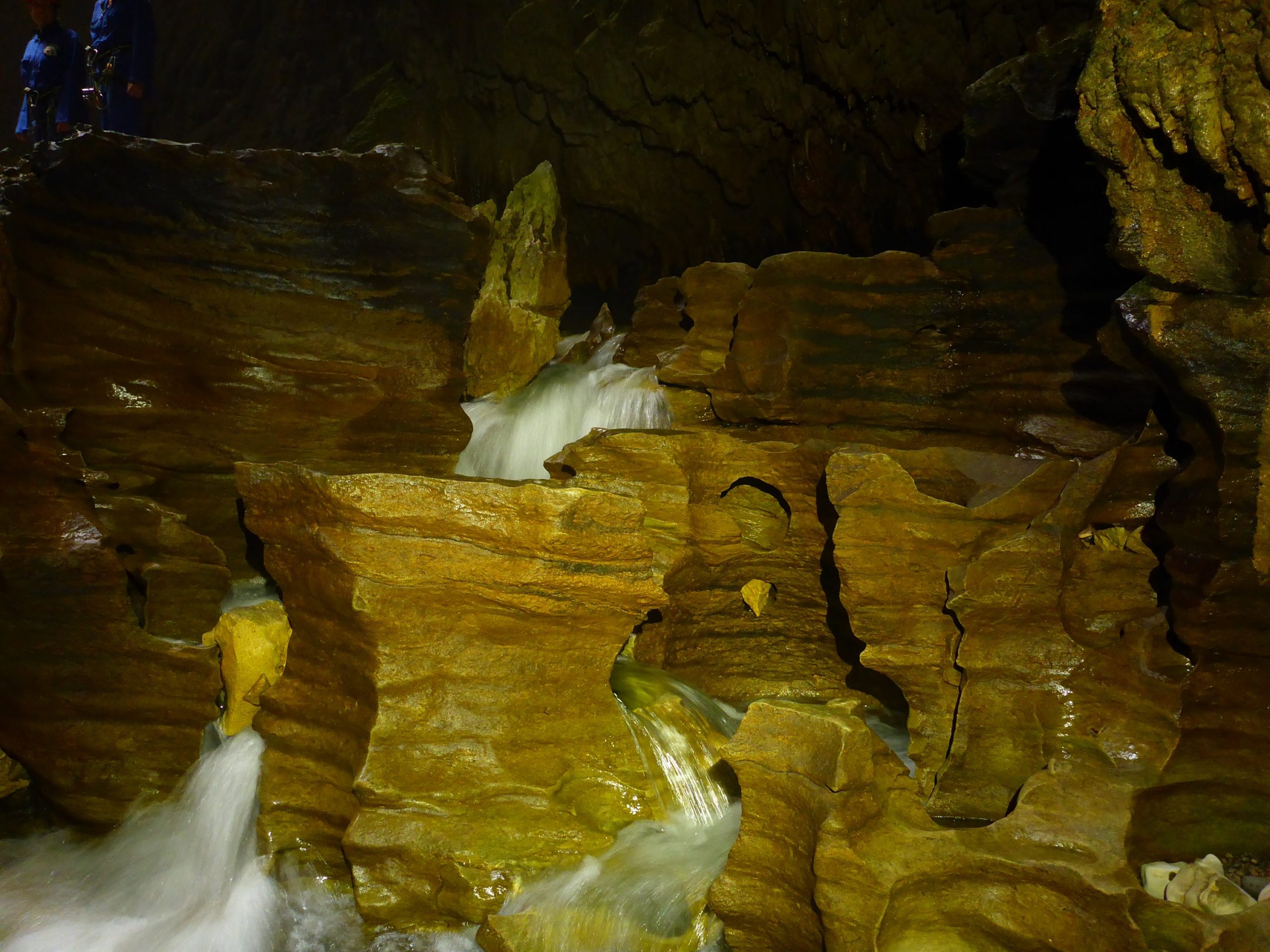
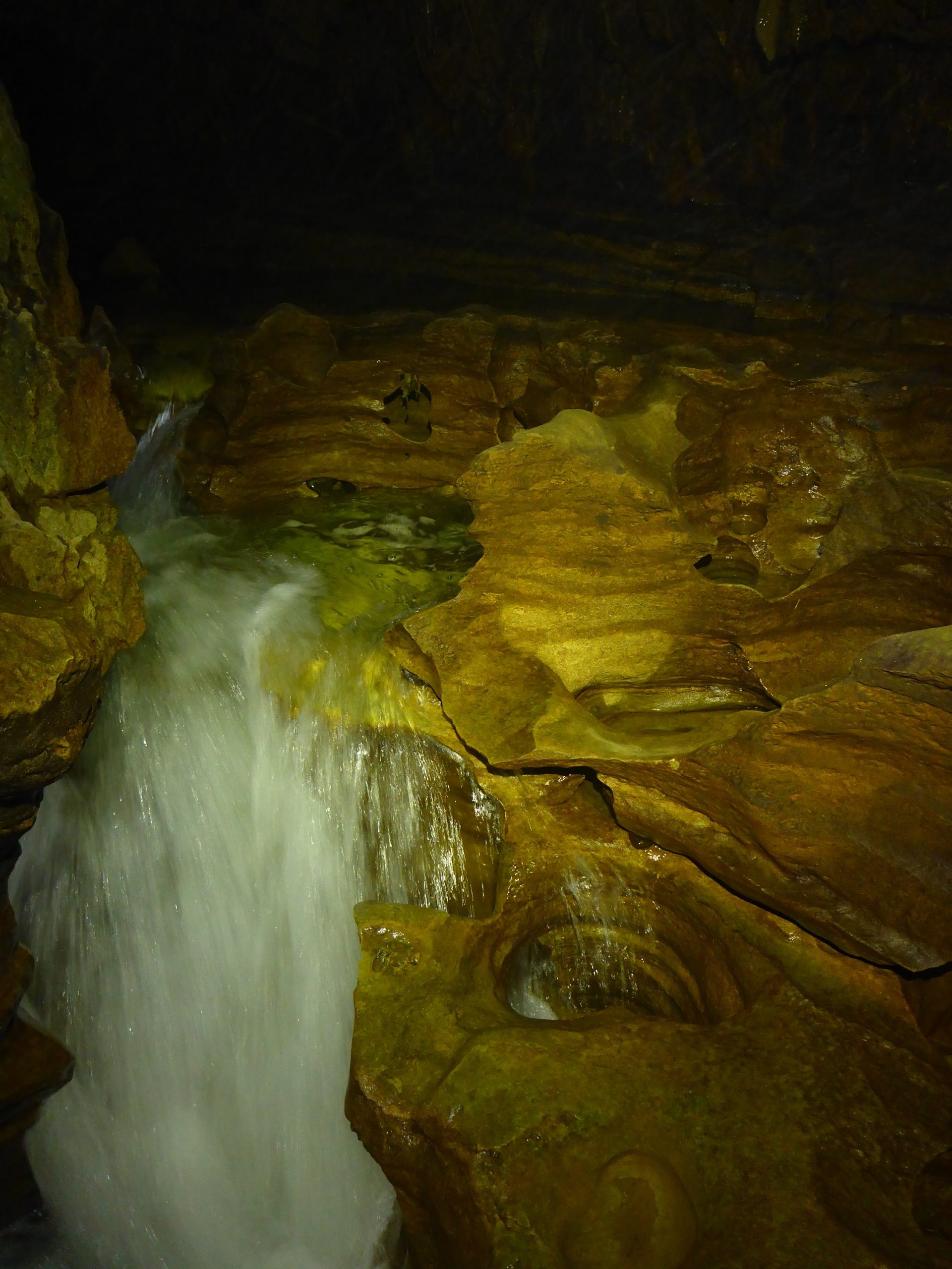
Formations at the entrance to the cave at the bottom.A running underground stream.
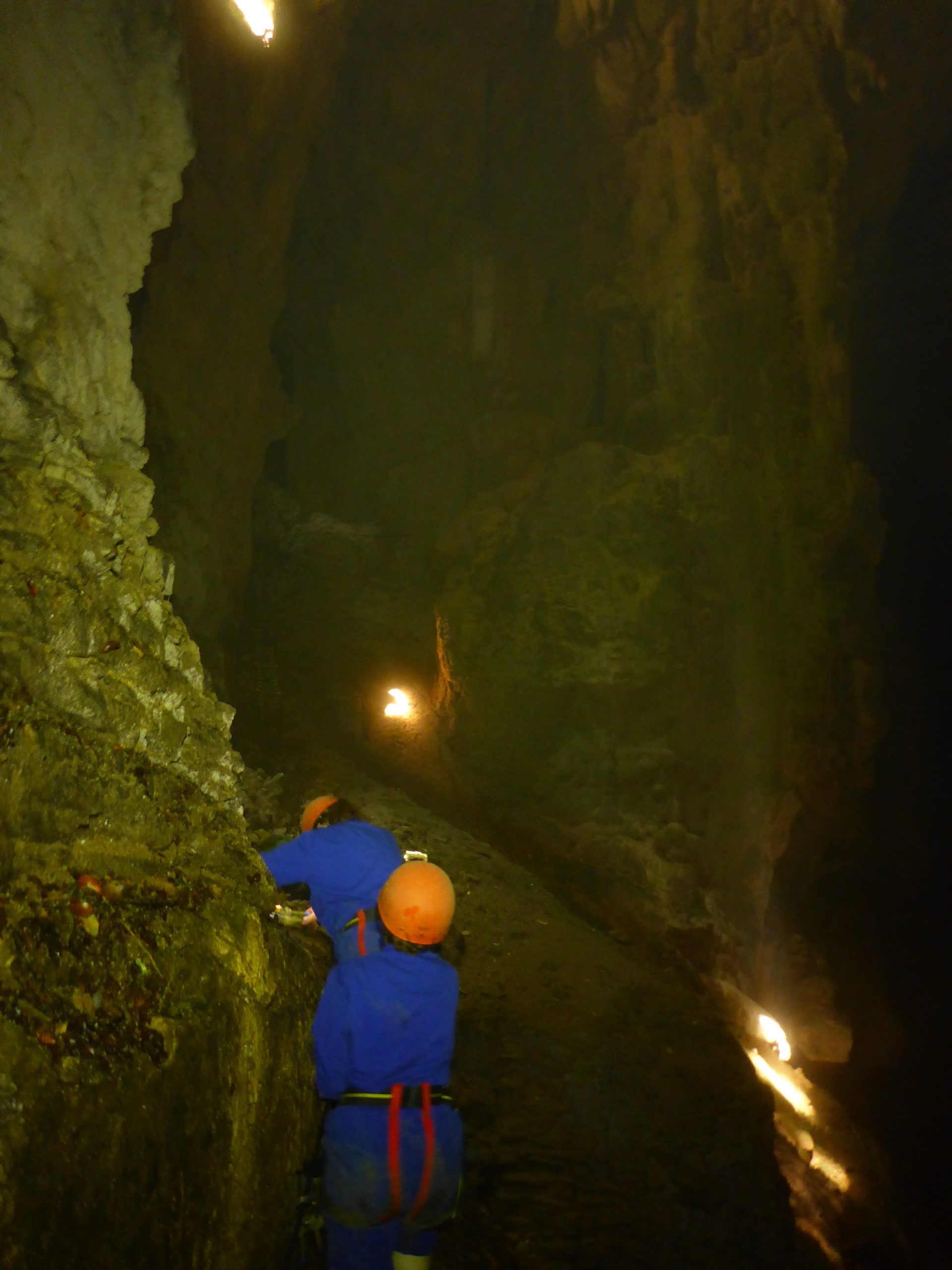
The hardest part was climbing up, over, and down the rocks. I’m sure we were very complaining. He would tell us what to do and we said he had to be kidding. I’ve never been comfortable with rock climbing and now that I’m older I am well aware of my limitations. That lead to much sliding down on my butt.
It was incredible though. Eventually we made it to the glow worms.
So these glowworms. They are really not worms. They are the larvae (maggot) of a fly. There is a chemical reaction with their excrement and an enzyme that makes them bioluminesce.
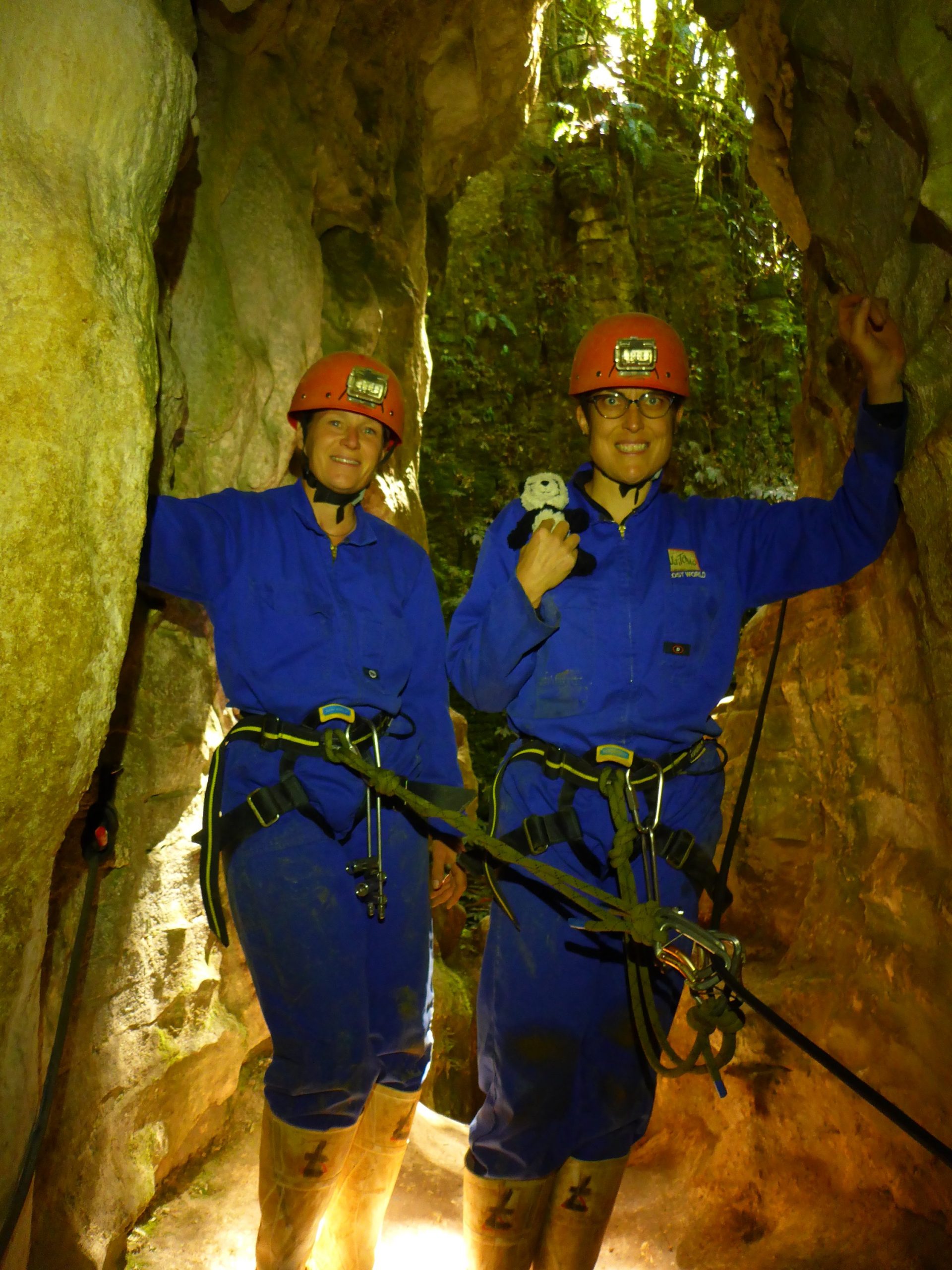
You can see the time does above Percy’s head. Those are the Glowworm. Percy is the maximum if the preschool class and is here for an adventure to report back to the class after break!
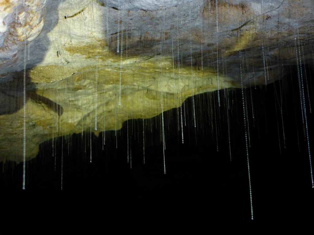
What is cool about them is that they eat insects and they do this by creating a silk like thread that hangs down. When an insect gets caught it is reeled up then eaten. Once the larvae is ready it becomes a pupa and then an adult.
These are the silk strings hanging down from the larvae.
The only role of the adult is to mate. The males die after fertilizing eggs as does the female as she needs to lay eggs in many small clusters. The first eggs to hatch cannibalize all the others. Life is rough…
The way back out was a little more difficult. We climbed a few more rocks and ended at a ladder. One by one we climbed 137+ rungs of a ladder straight up to get out. We are attached to a rope at the end that Luke could also use to help pull us up. So no likelihood of plummeting to death. A good thing. Luke went first, then Caroline, then me. It seemed like a long time before the rope was sent back down to me to attach to. It is daunting.
I found it easy at first, then the rings were further apart, and the air a little thinner… But knowing that in advance helped to just keep climbing until I got there. A short walk back to the van and we were on our way back…
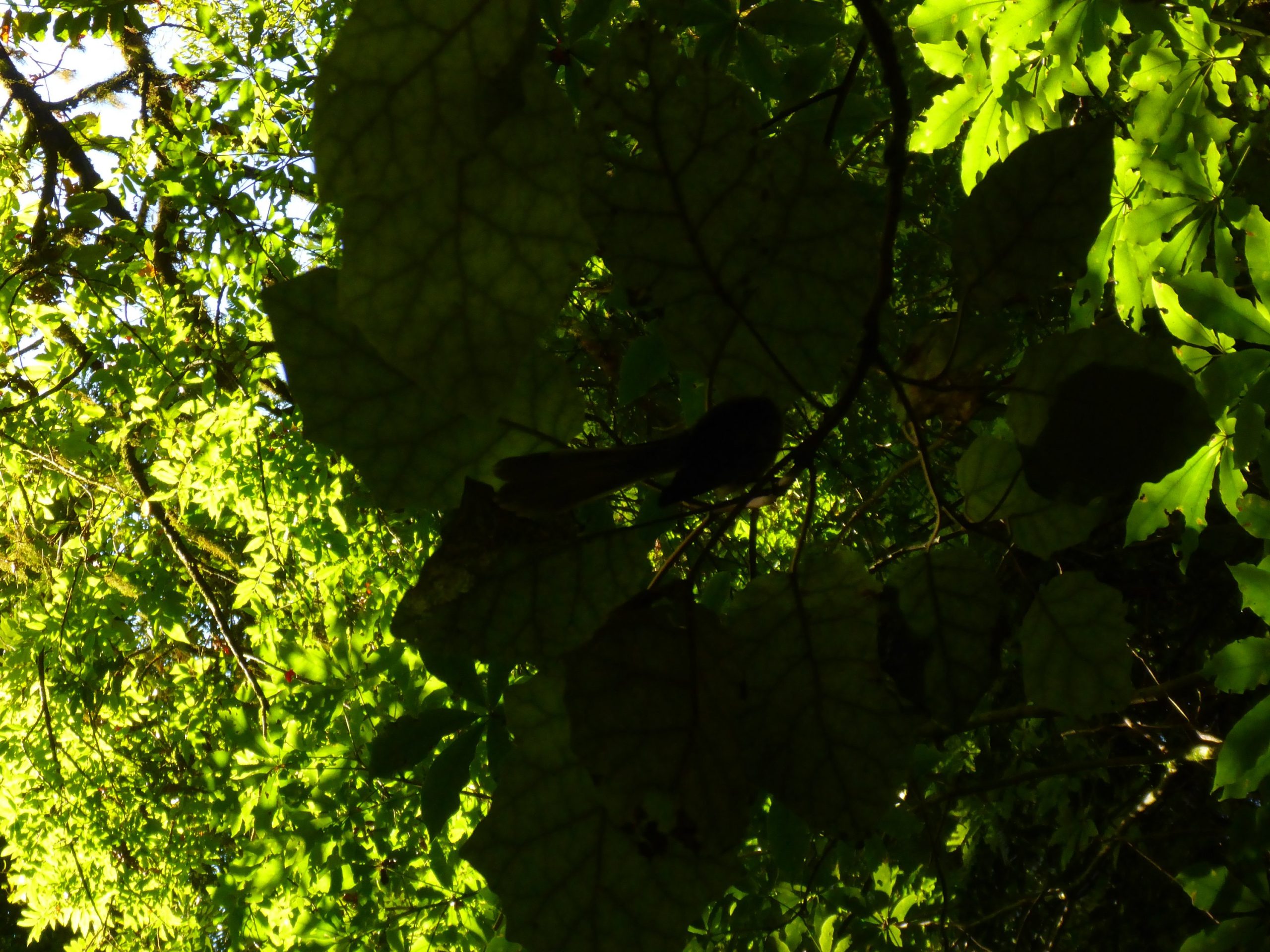
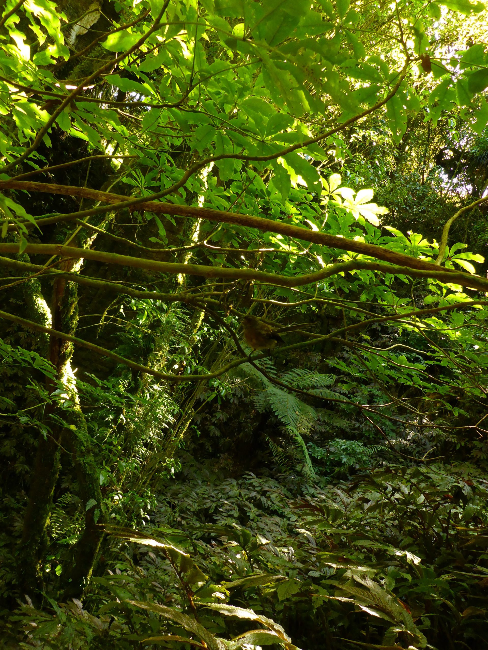
Afterwards it was time for lunch at Huhu nearby. Salad and sweet potato skins! Then touring the neighborhood town. We found a bird park which I’ll blog next. A good day.