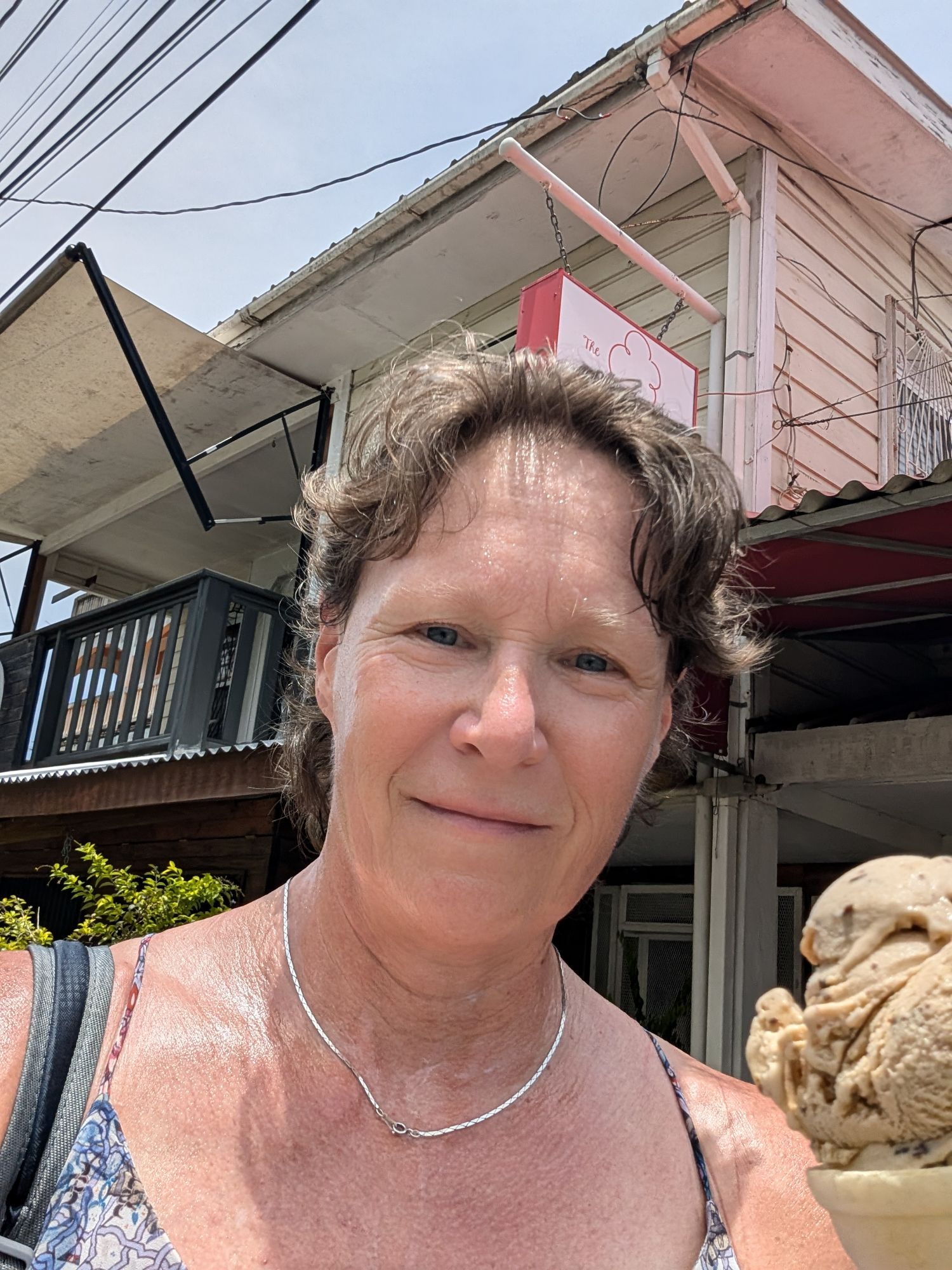
I had a few tours cancelled. Unfortunately, when traveling solo that can happen as a minimum is required for each tour though usually there are others who sign up. But it is the slow season in a small town in Belize. Having time without an agenda is good for me. I have done a lot in the last 2.5 weeks….
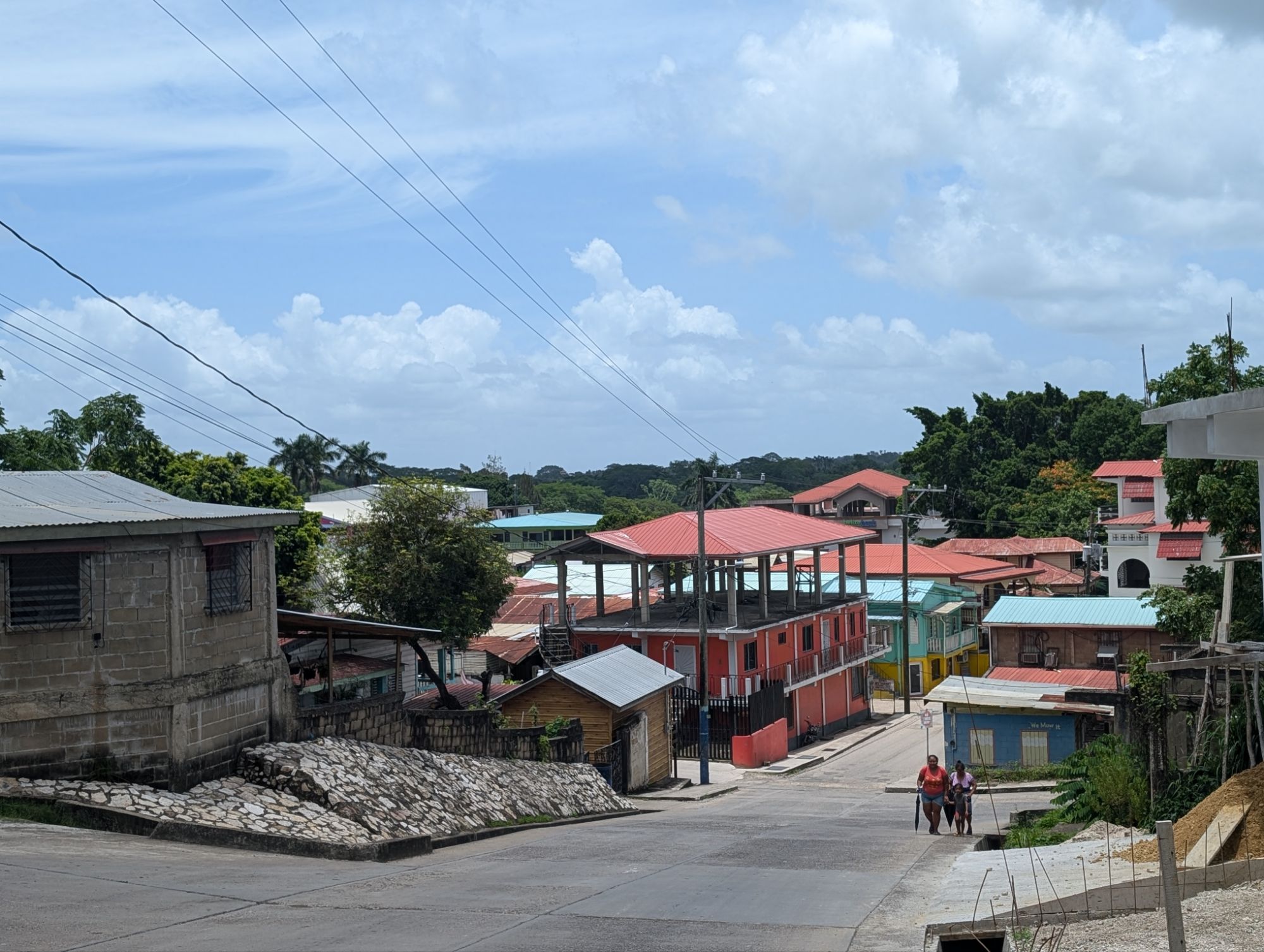
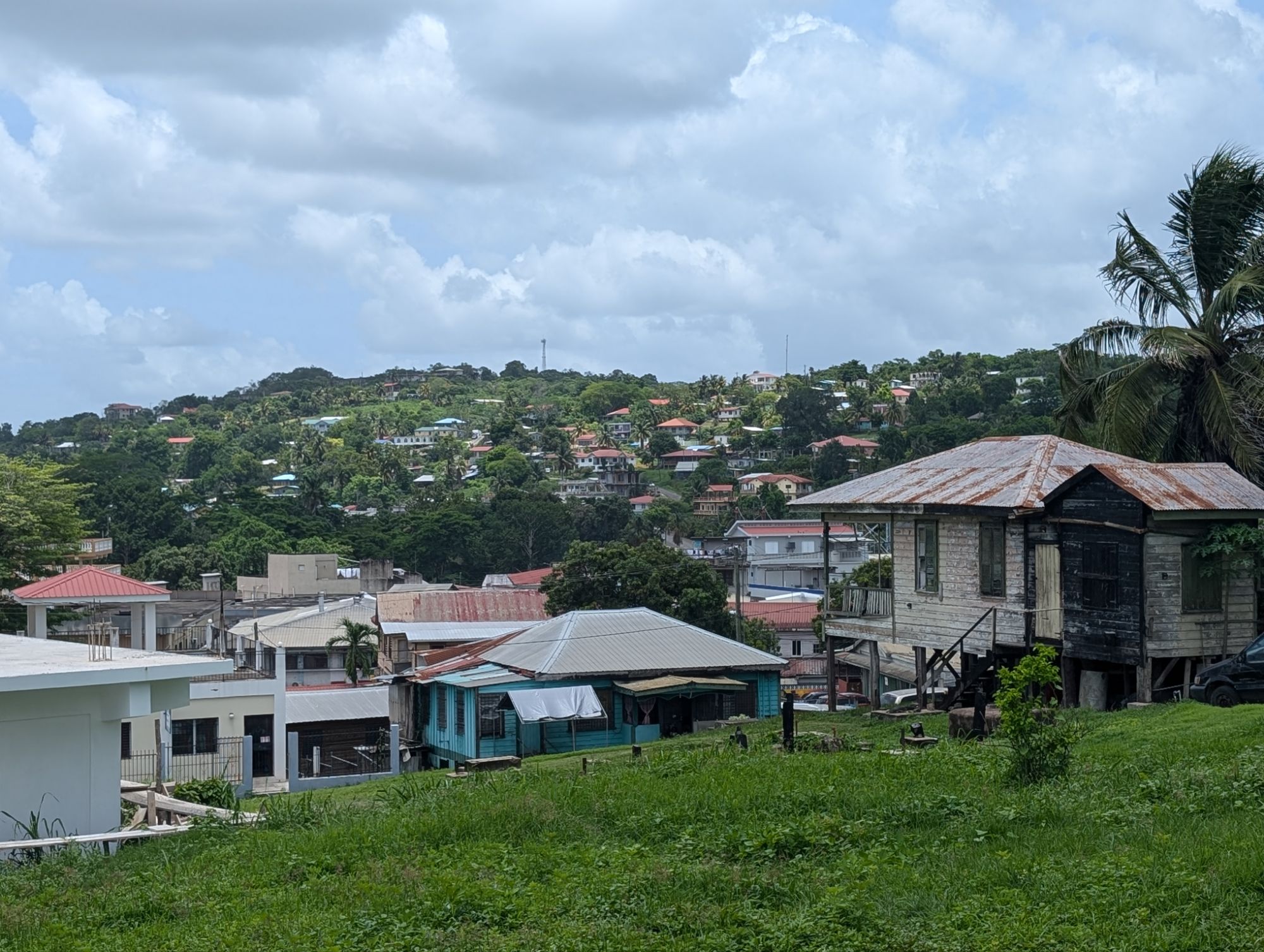
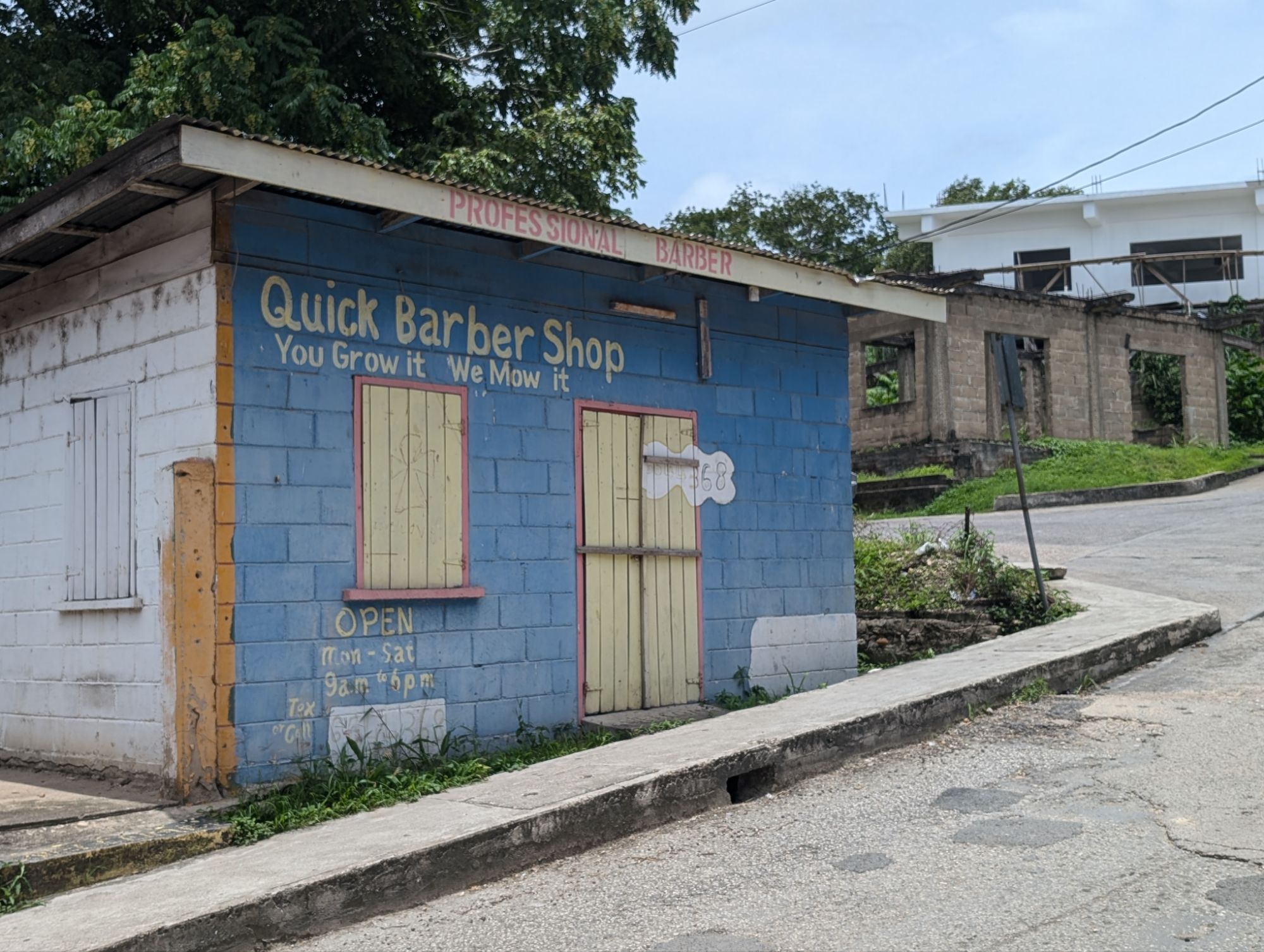
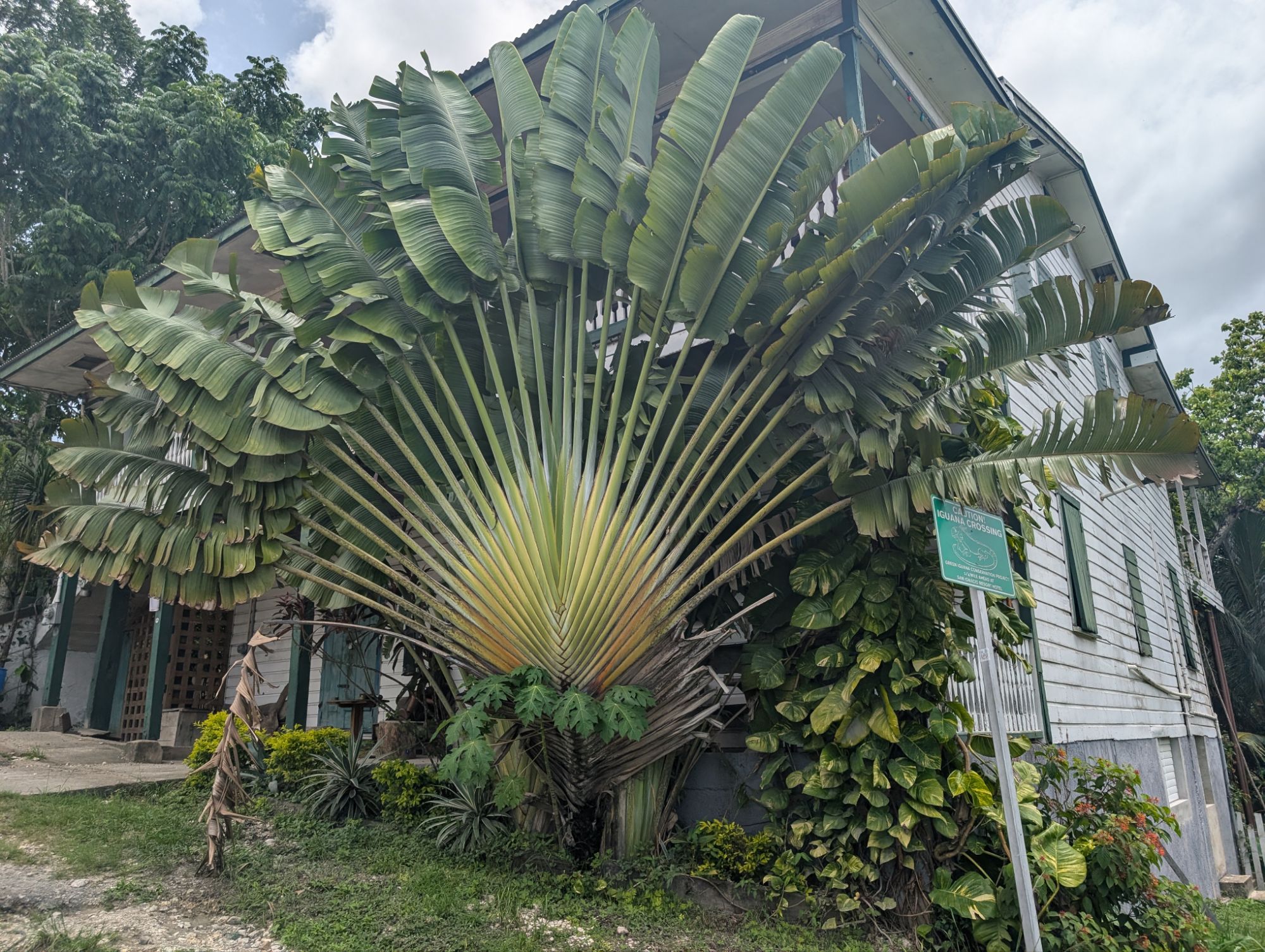
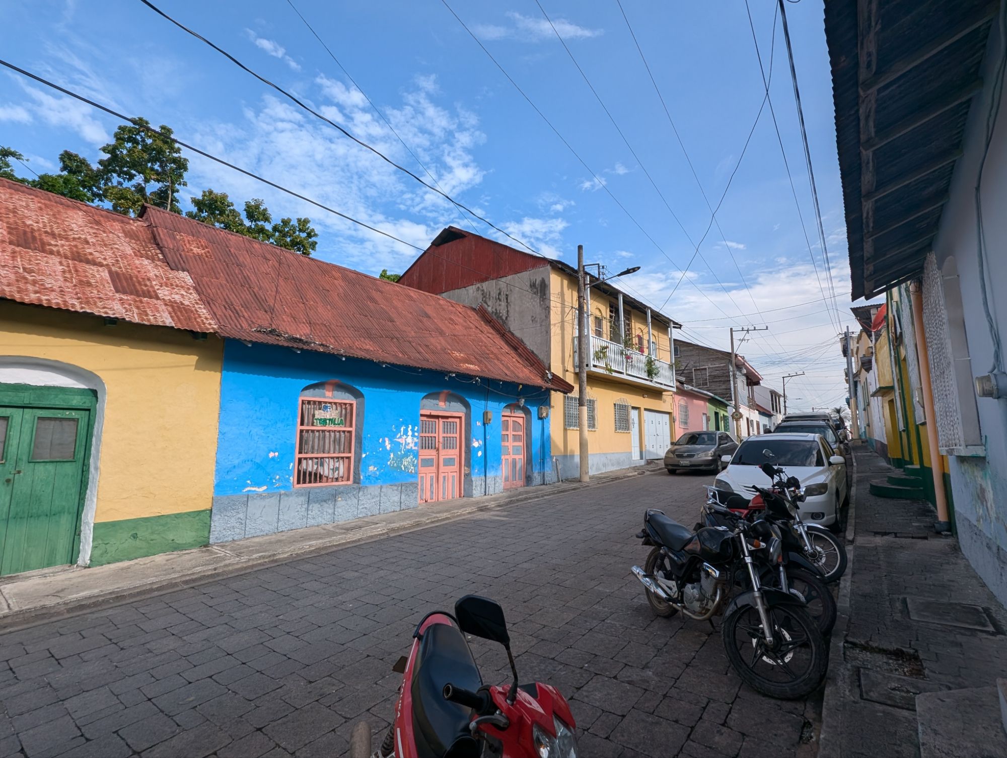
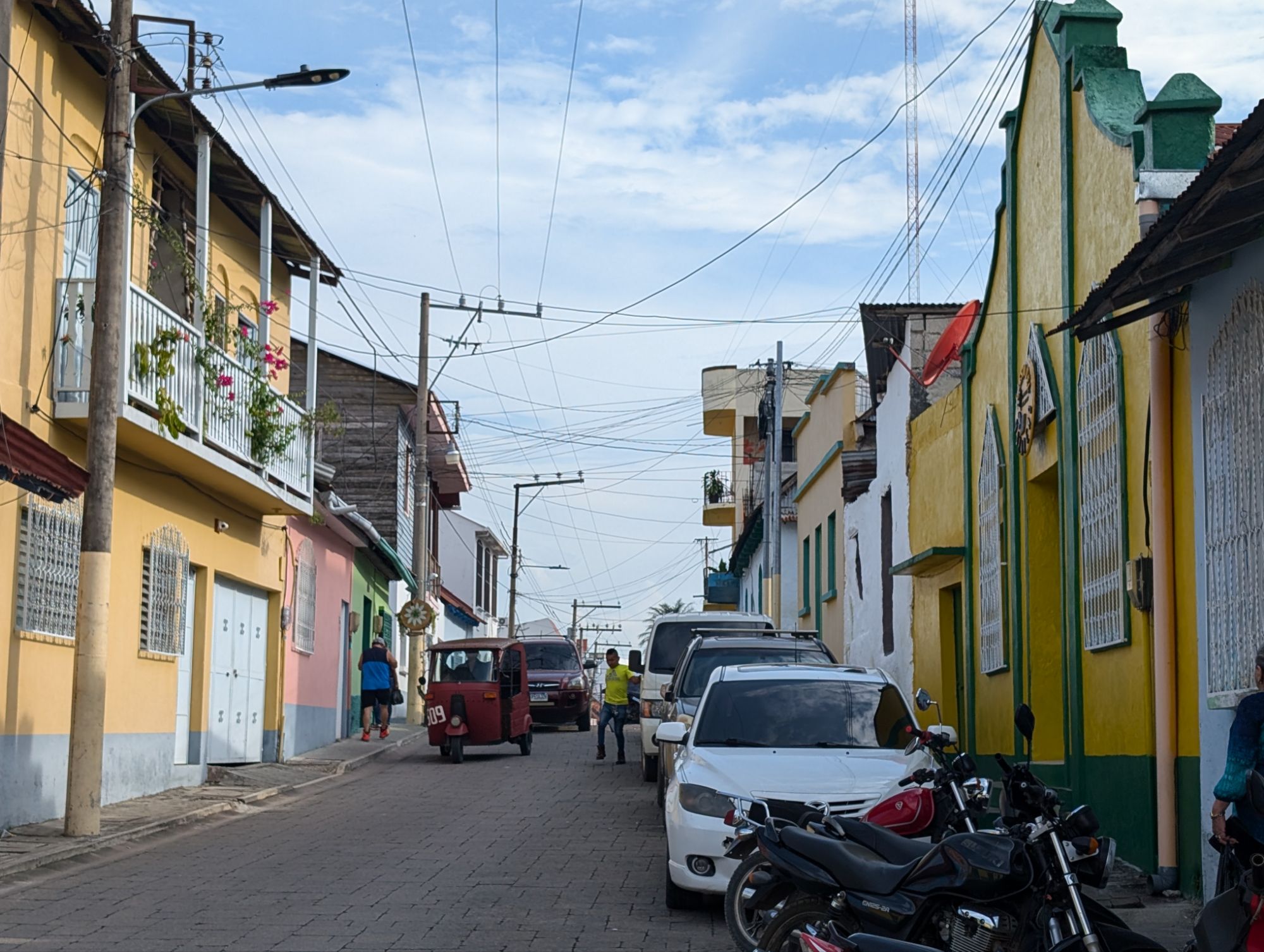
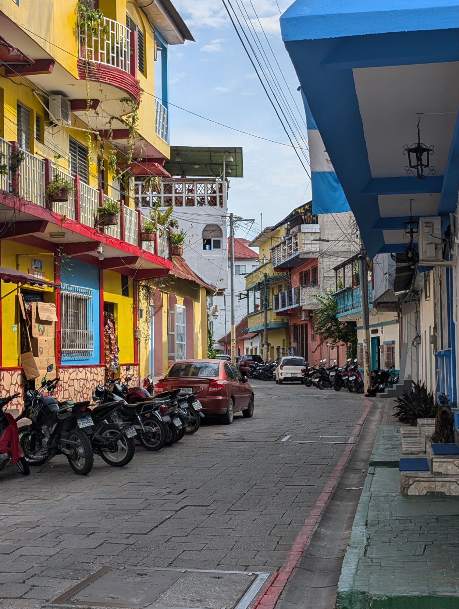
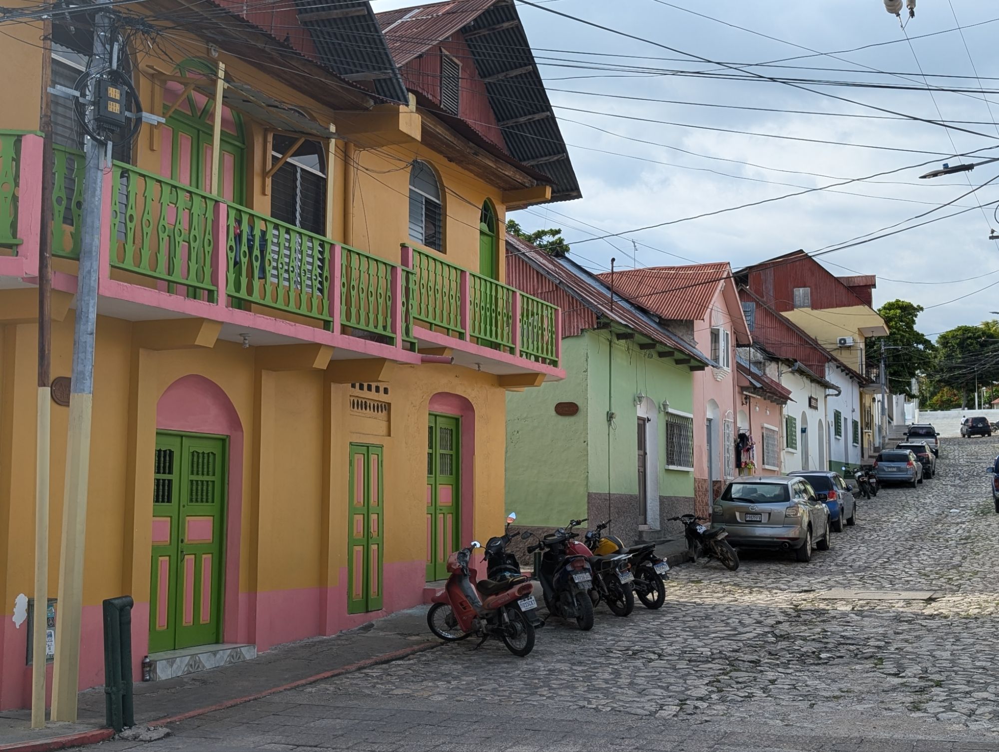
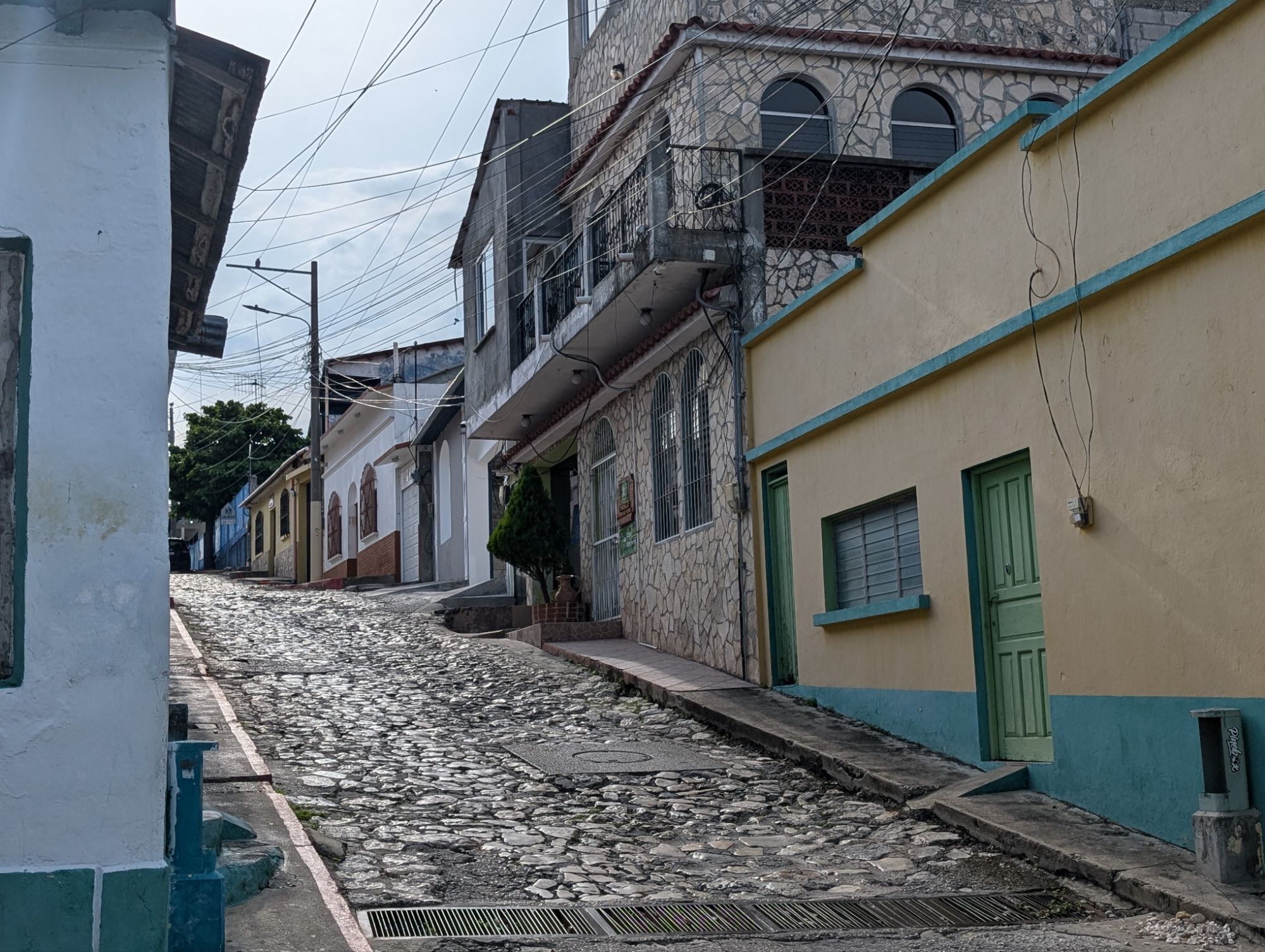
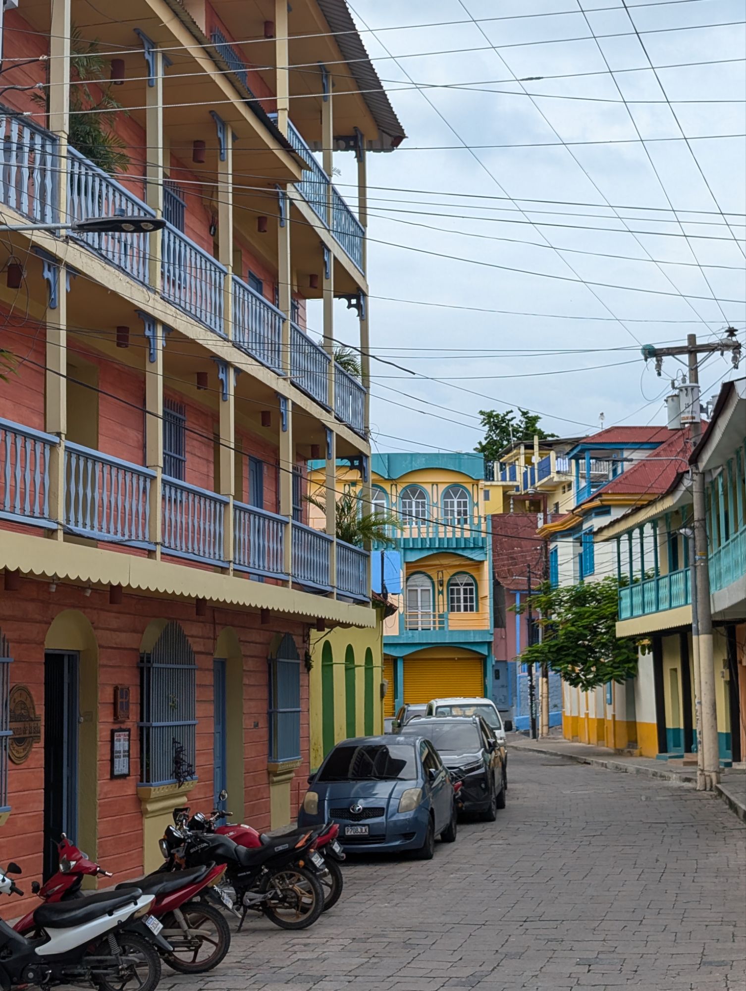
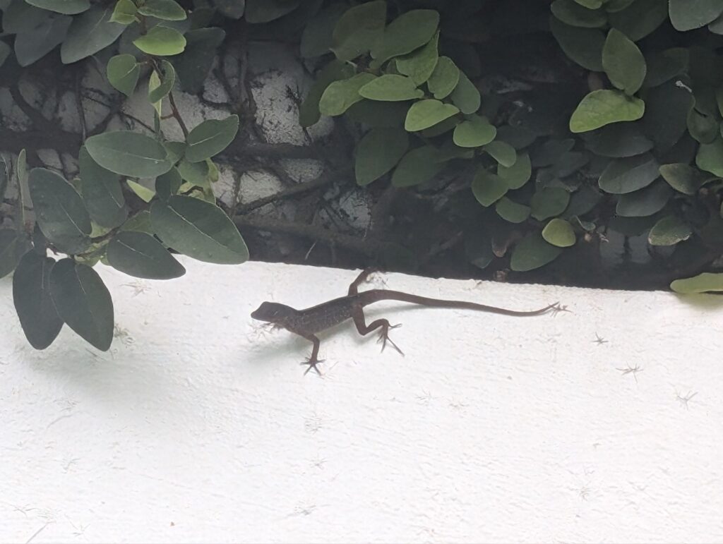
I walked to the Green Iguana conservation project and along the way walked through the streets of the town. Very hot but a nice walk around.
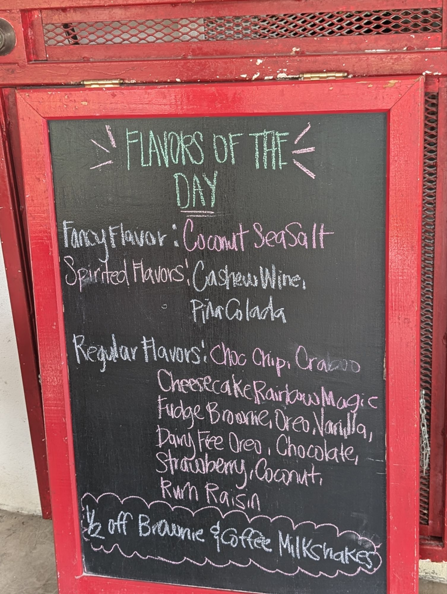
And I wondered what Freddie Mercury was singing about in Bohemian RhapsodyThey had me at cashew wine
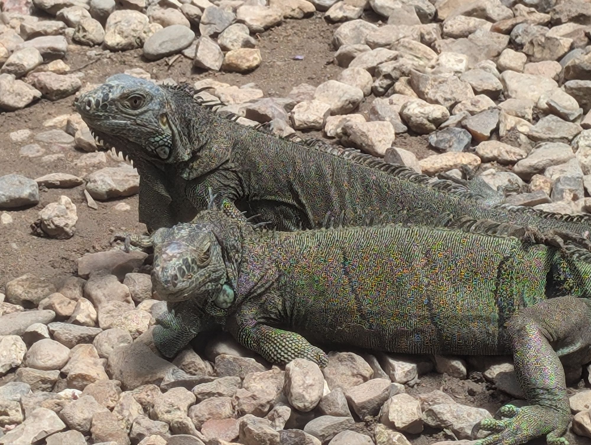
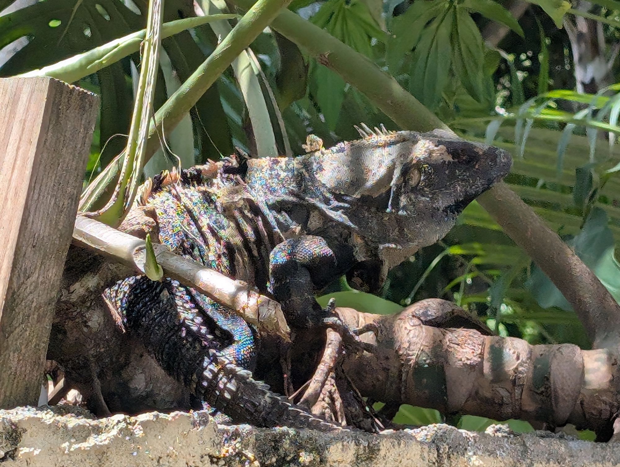
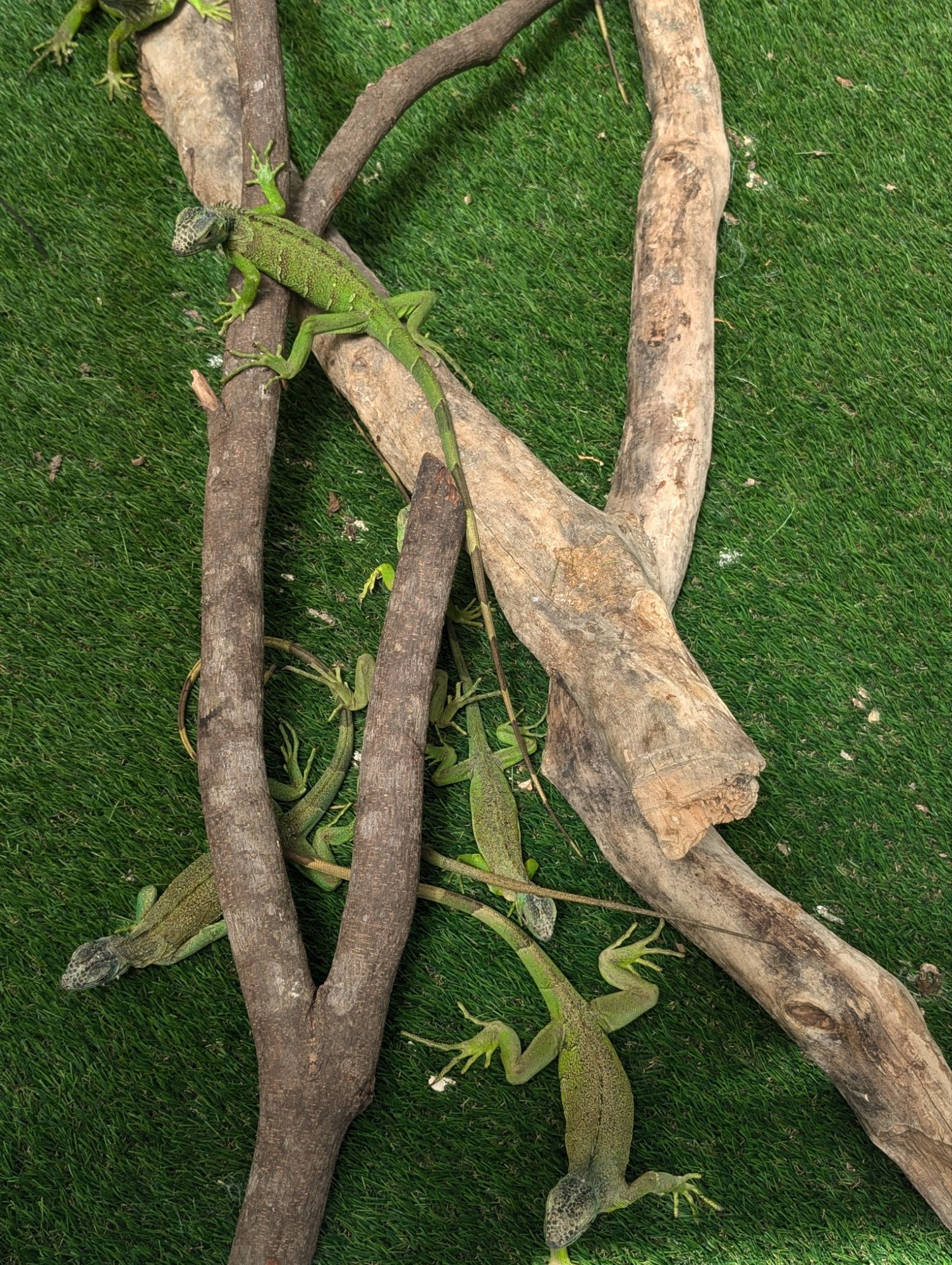
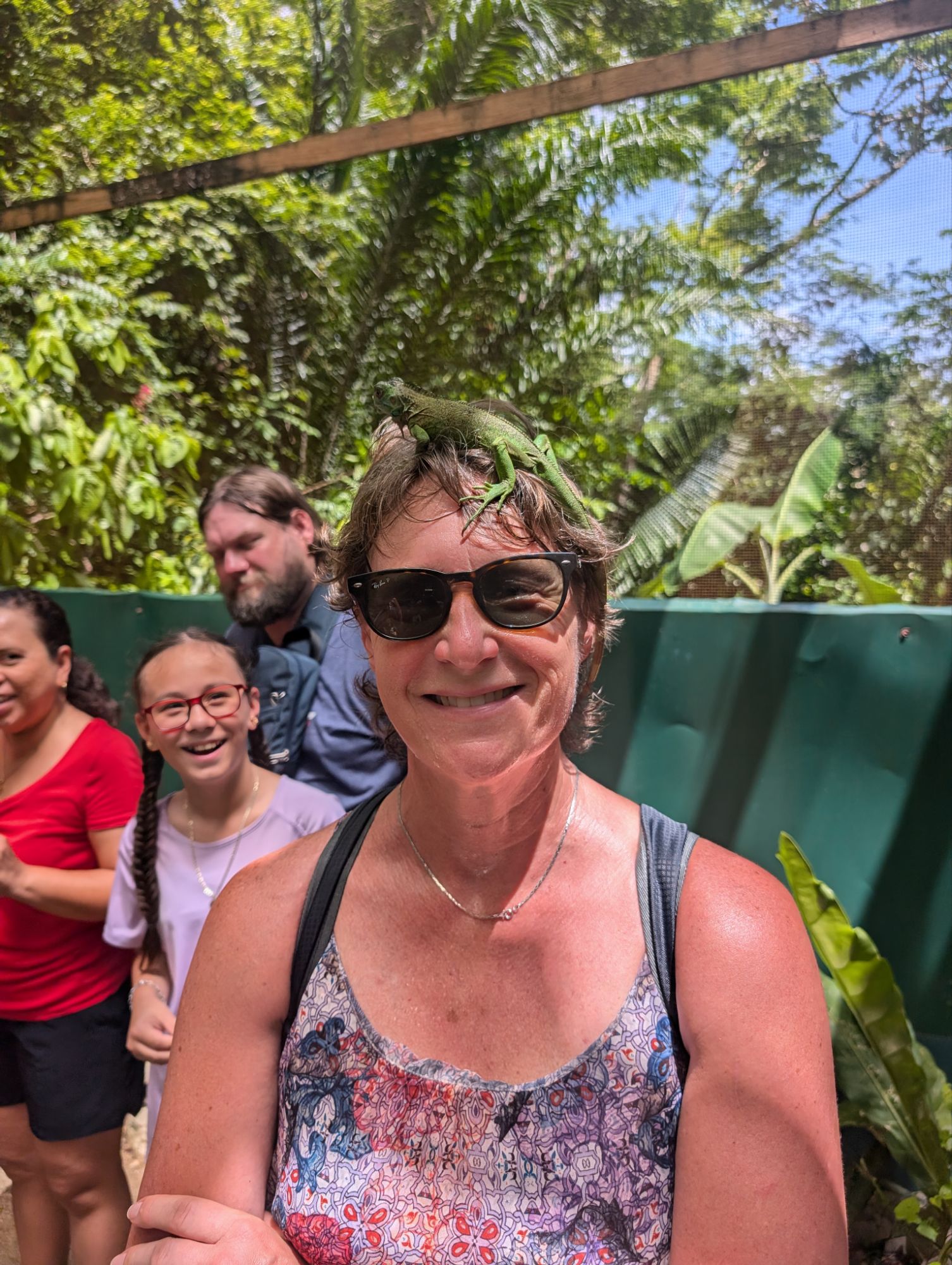
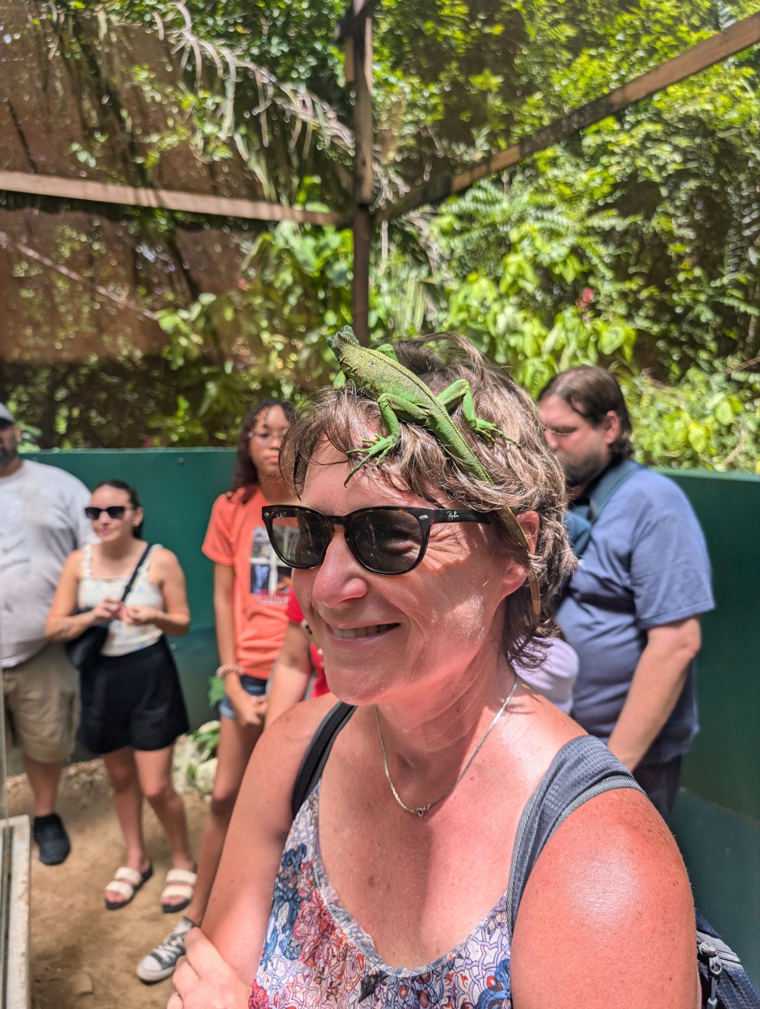
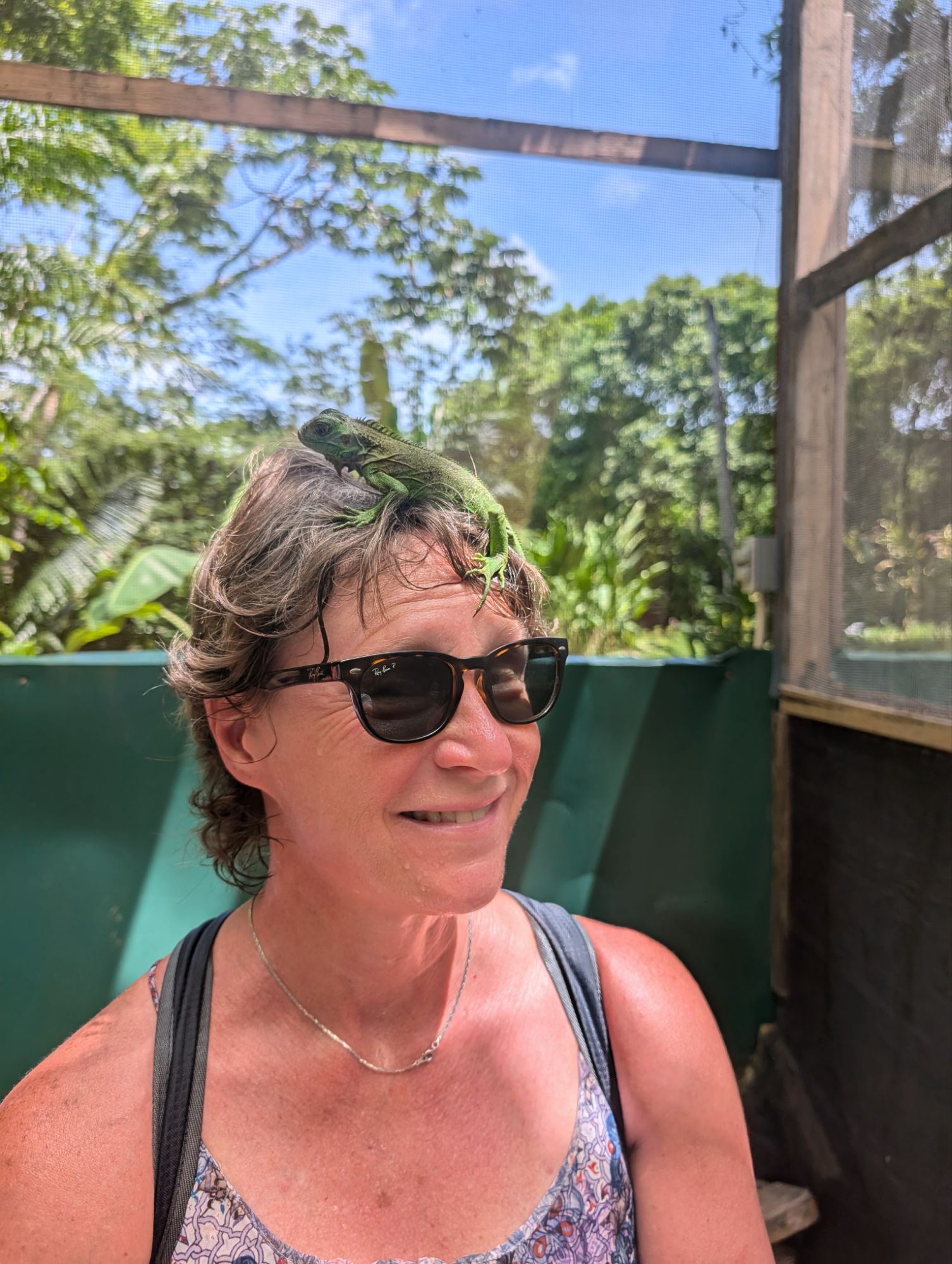
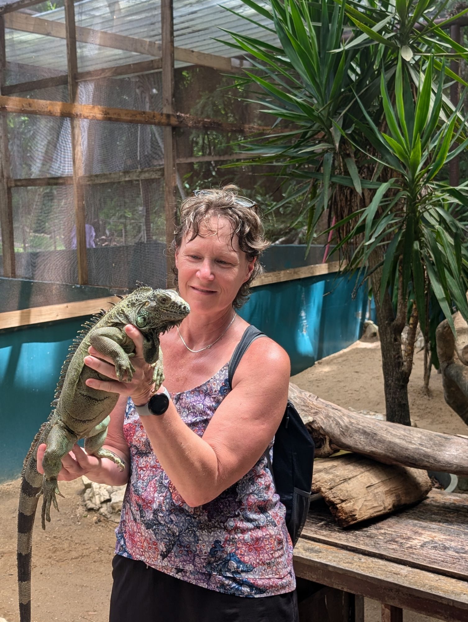
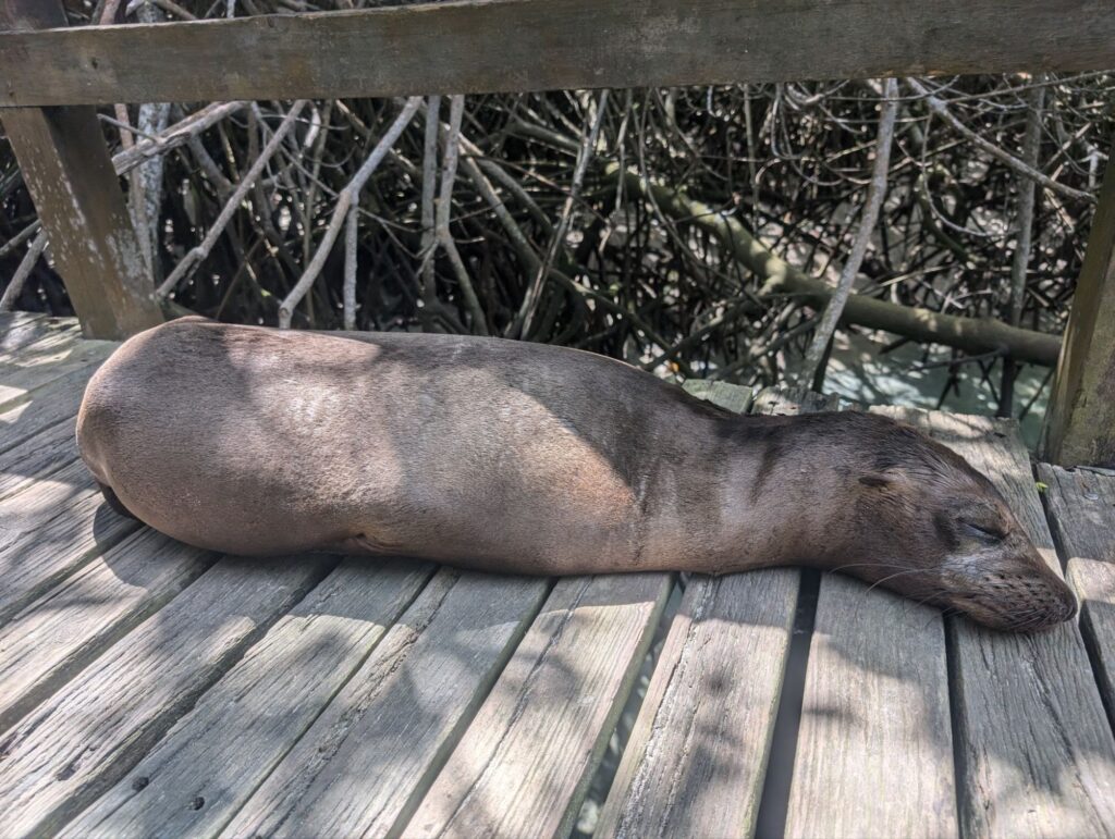
Green Iguana conservation project
This project breeds green iguanas and the babies are released into the wild to repopulate. Some of the inhabitants are the breeding adults and they are unable to live again in the wild as they were rescued.
This is the male and so gentle.Two femalesThis guy is a spinetail iguanaYoung yearlingsOnly one of the yearlings is calm enough to do this. Fun. Of the adults, this male was the calmest and doesn’t mind being held.
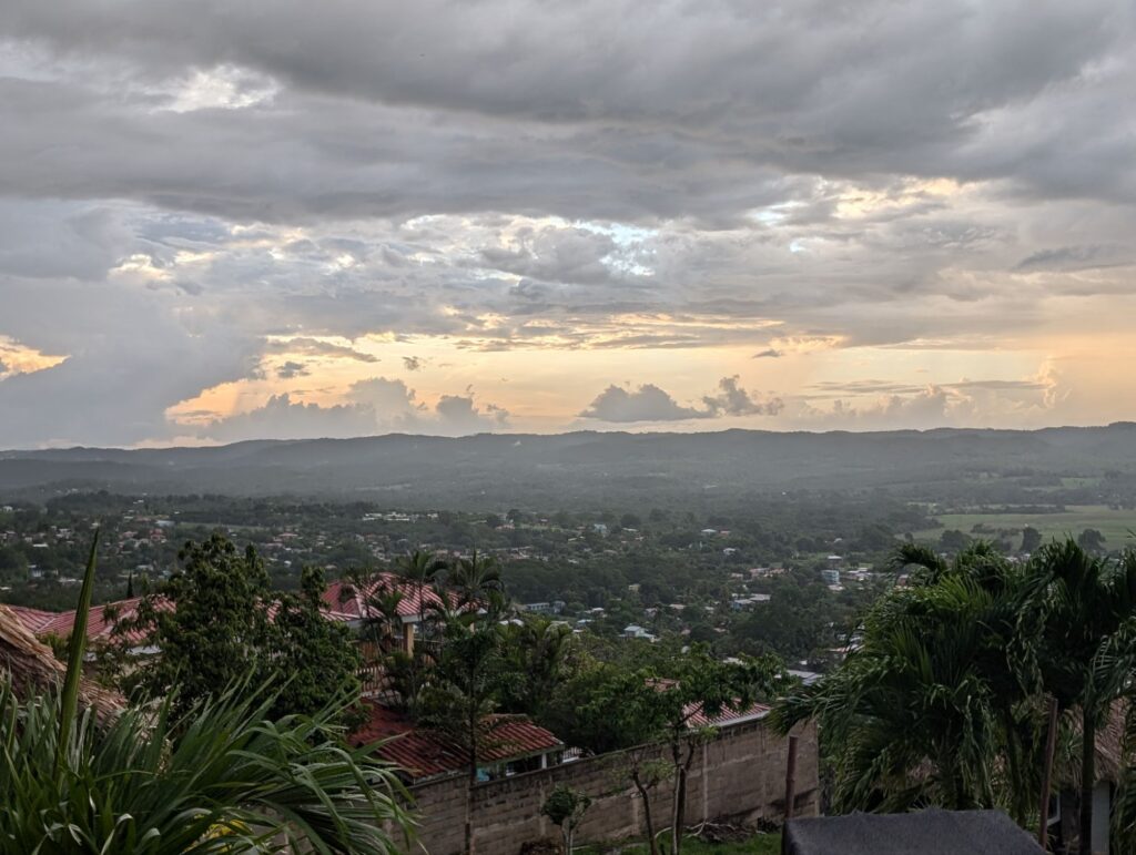
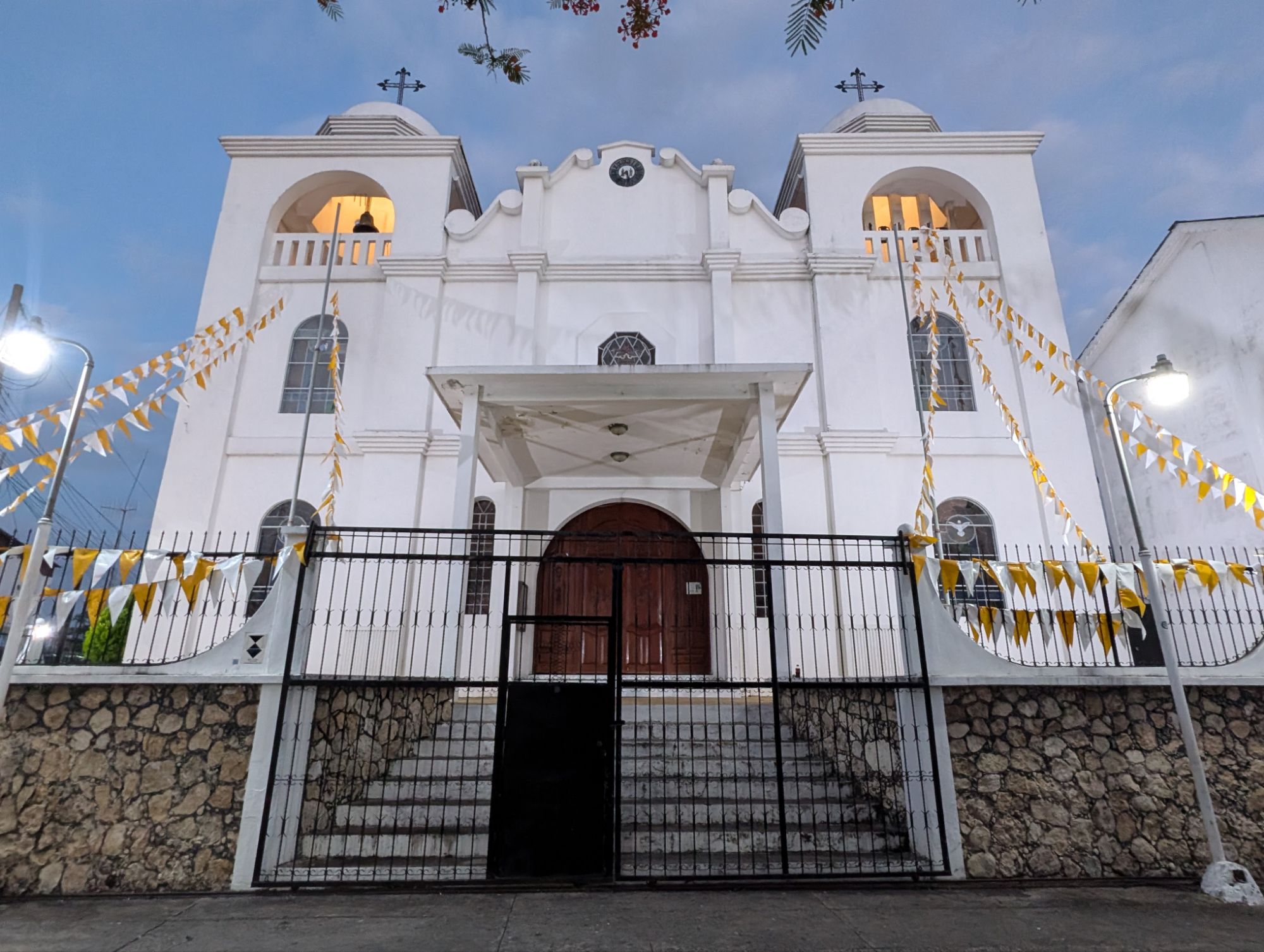
My next stop in travels is San Ignacio, Belize. It is only a couple hours from Flores by car. Transport is inexpensive ($20) and easy but it could take a little longer depending on how many pick up stops there are.
A house in Guatemala along the way. The average Guatemalan makes 4000 quetzales a year which is $500 USD.By the border of Guatemala and Belize
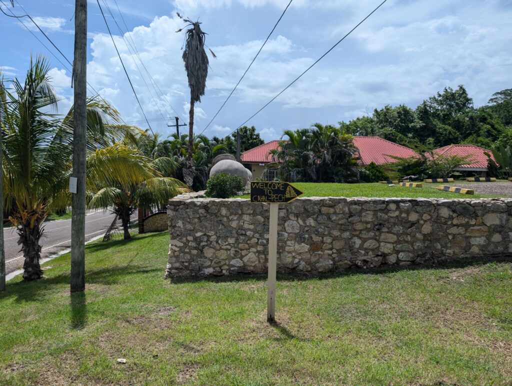
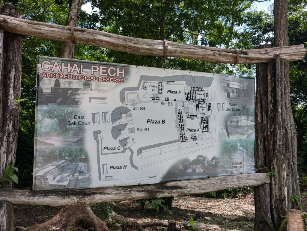
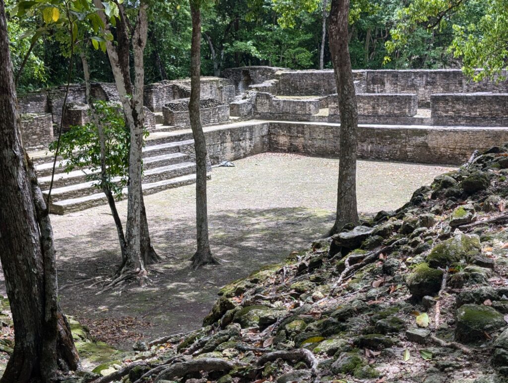
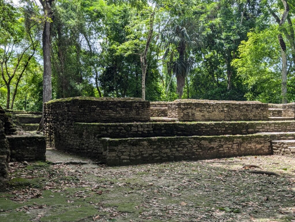
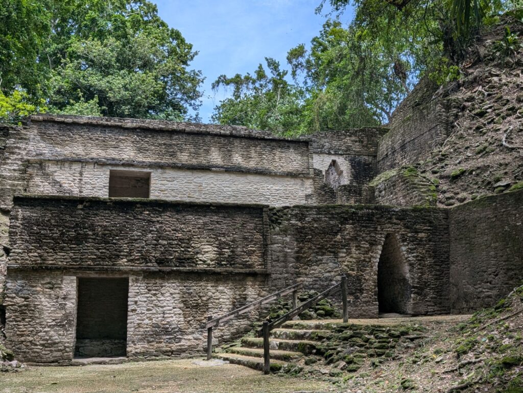
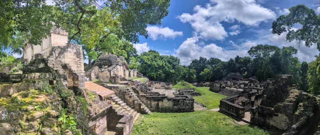
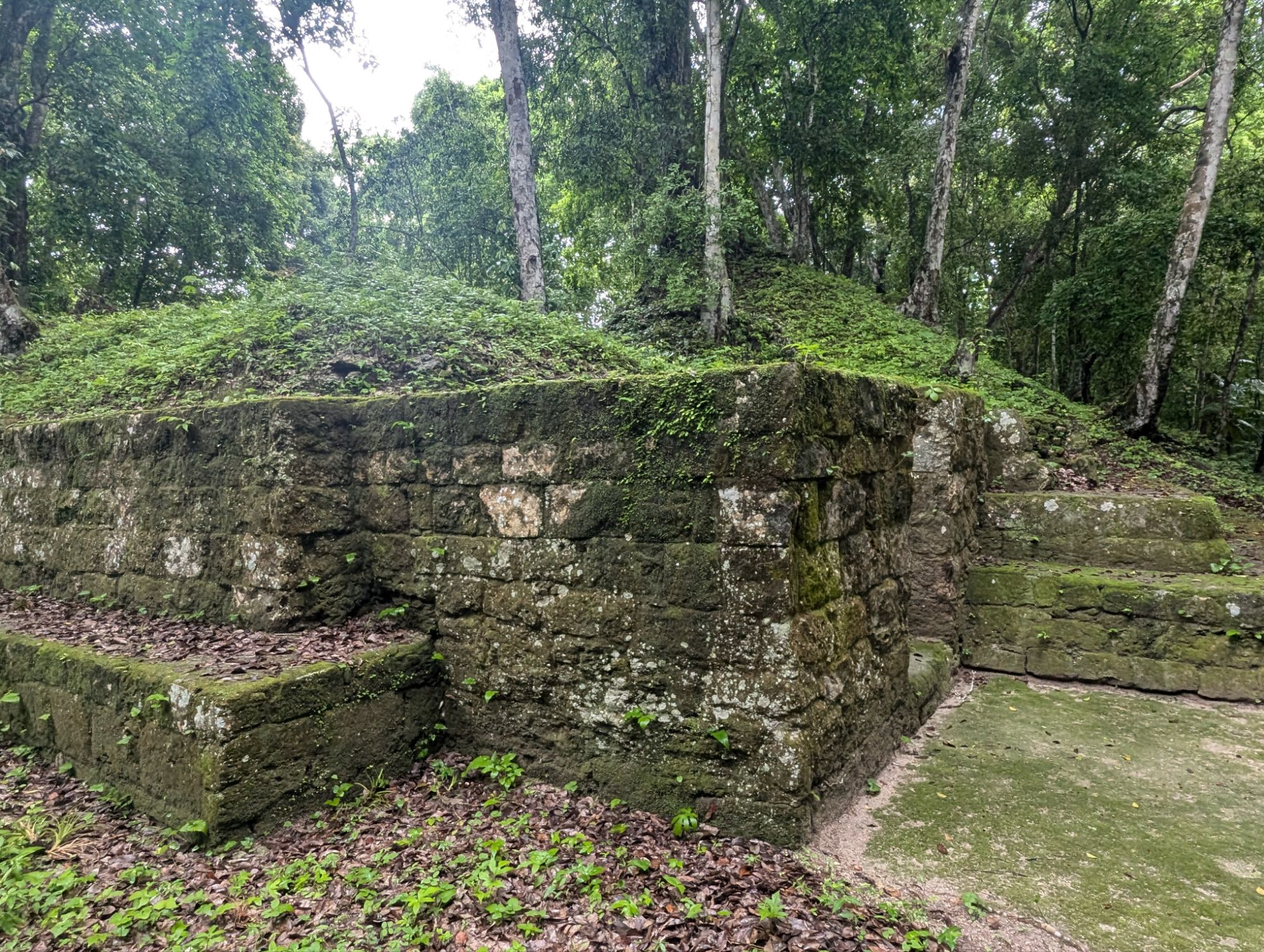
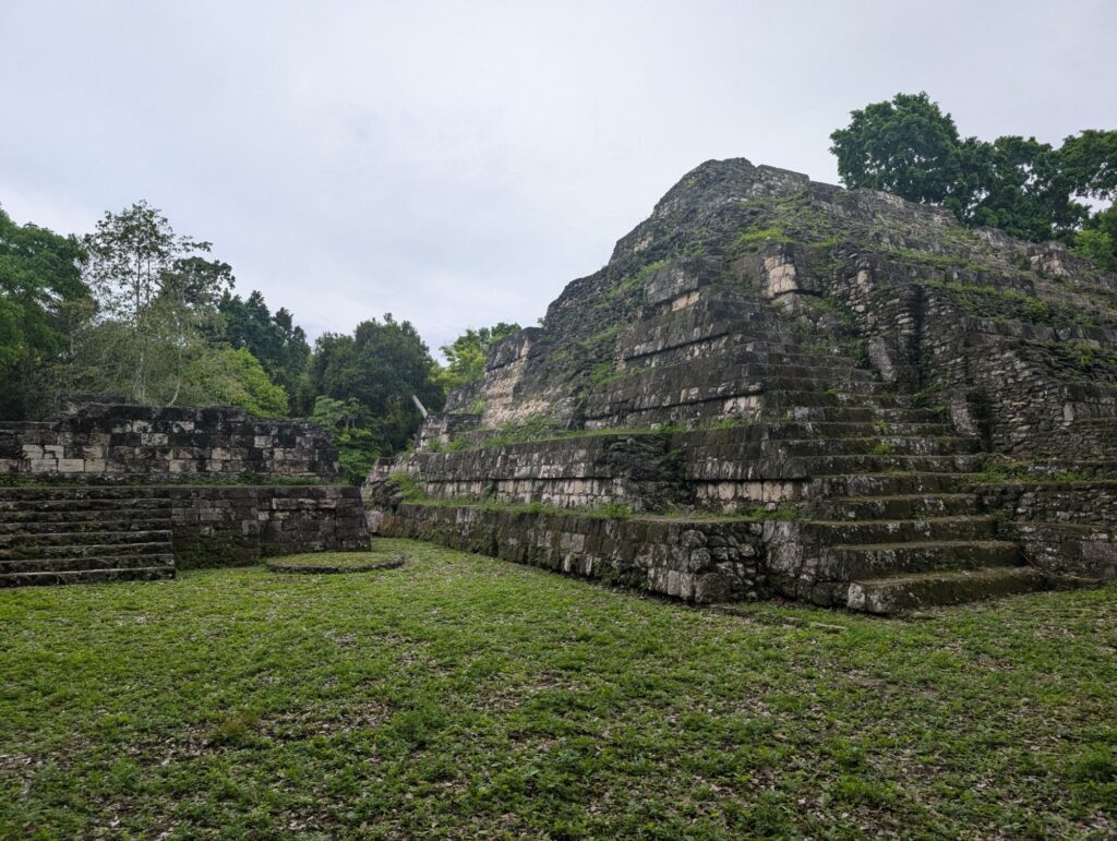
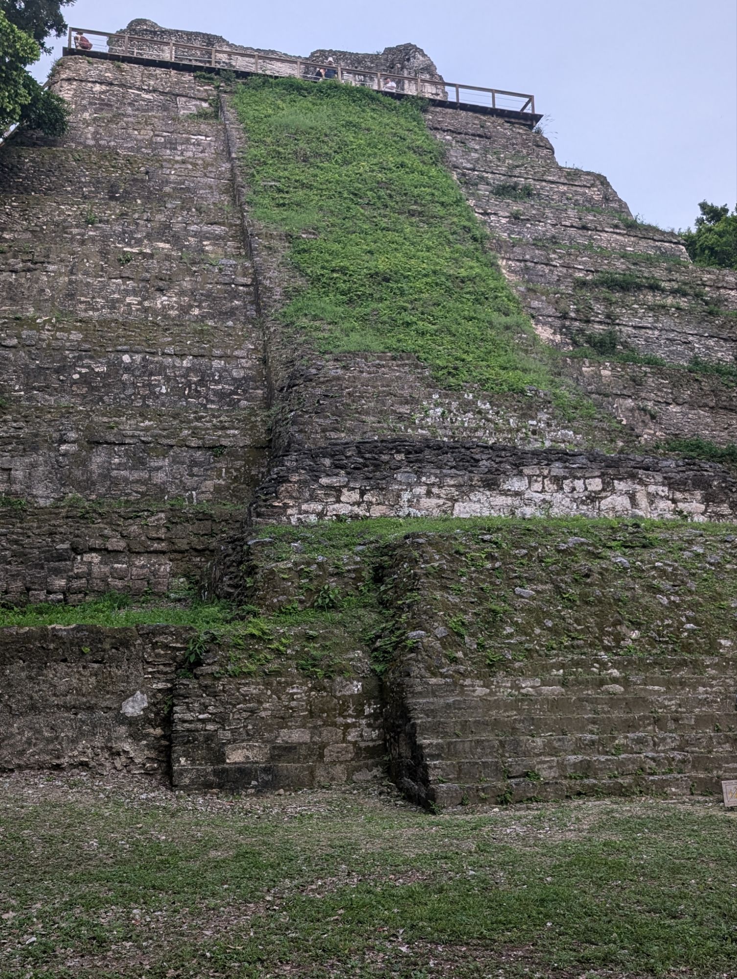
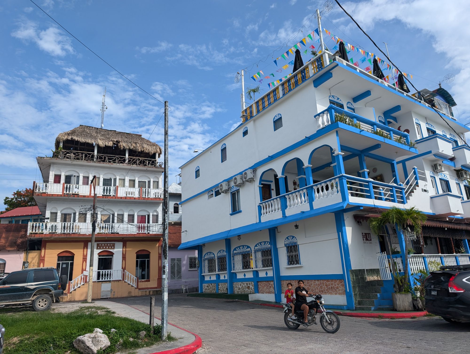
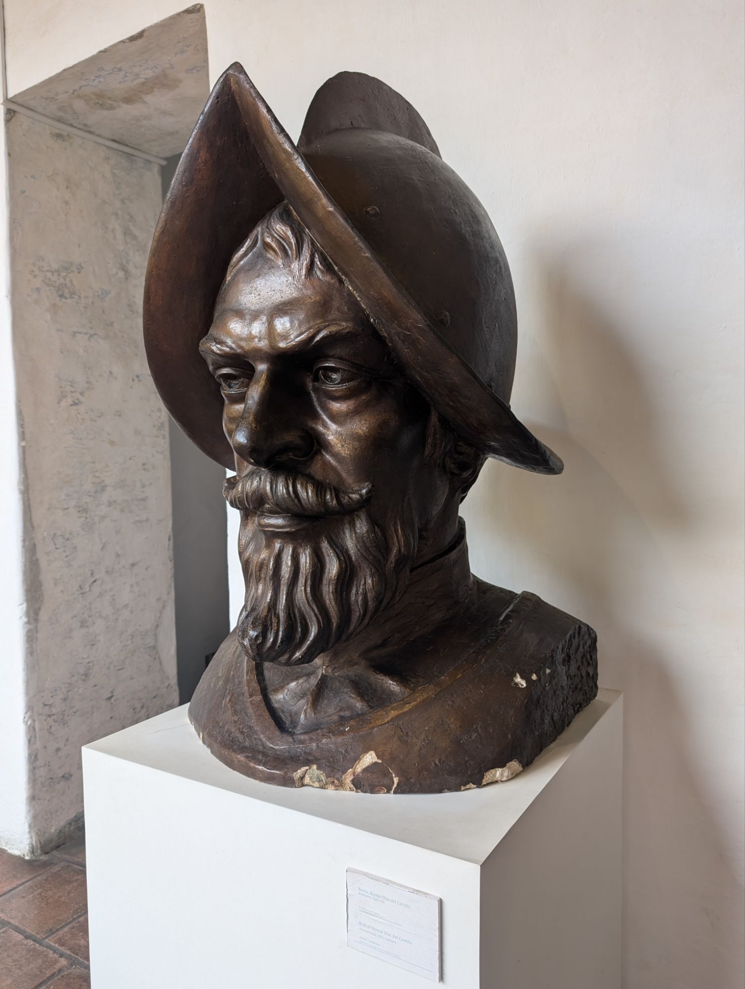
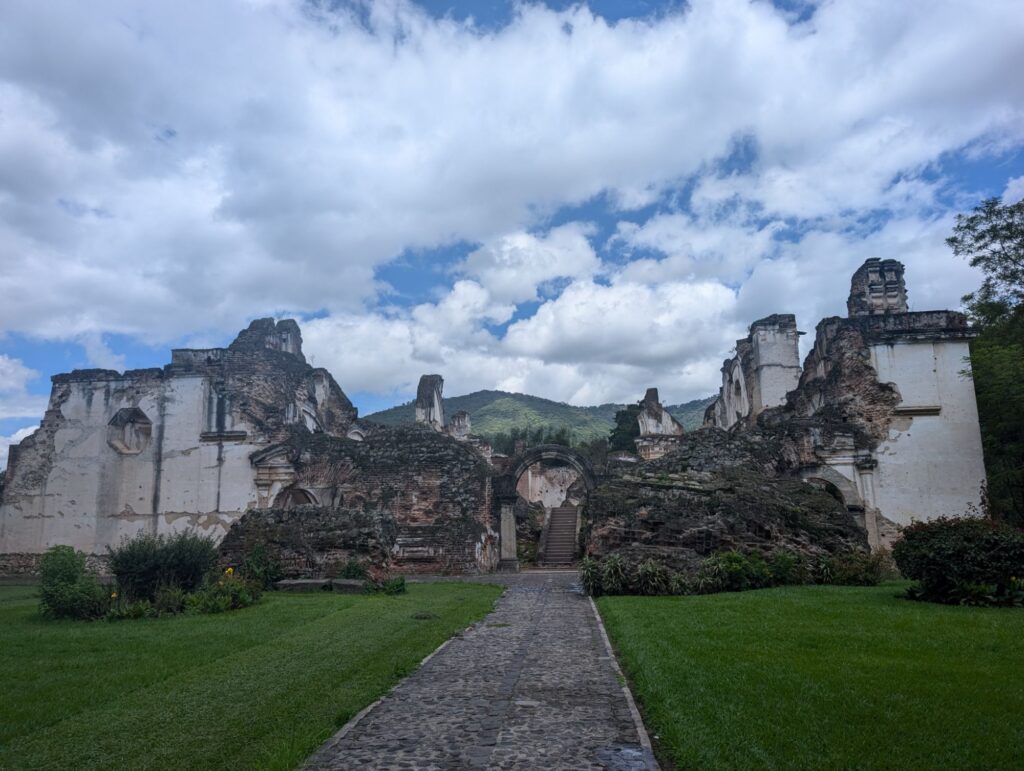
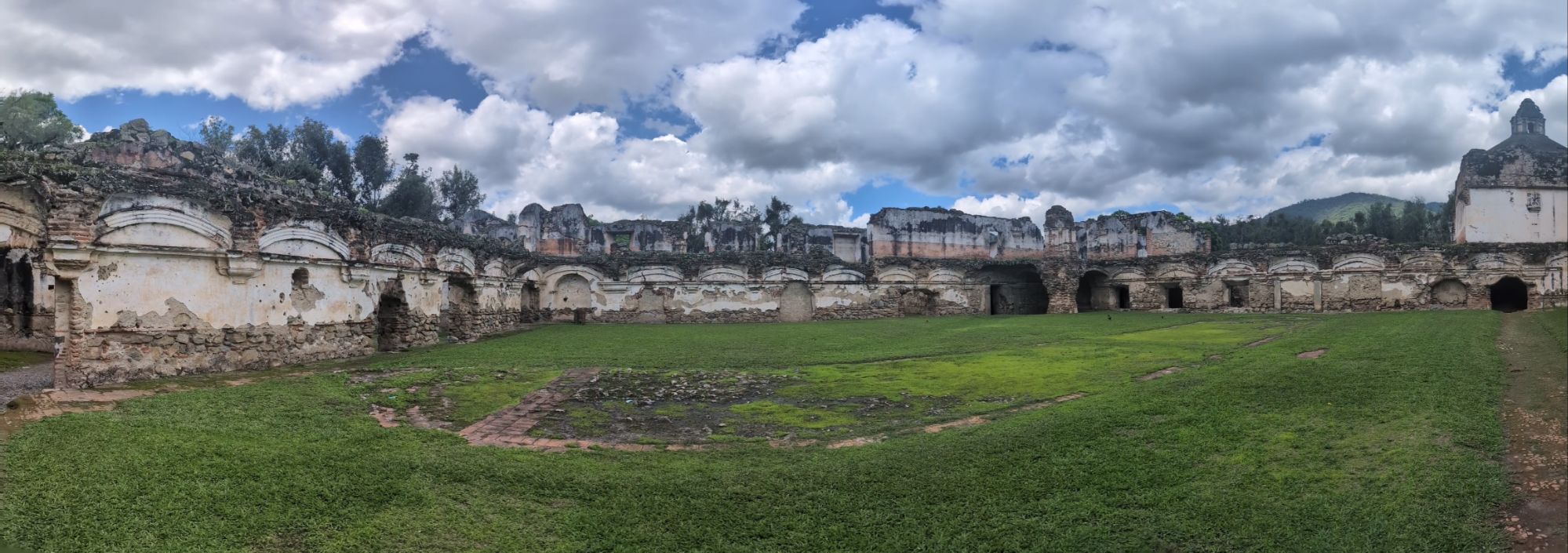
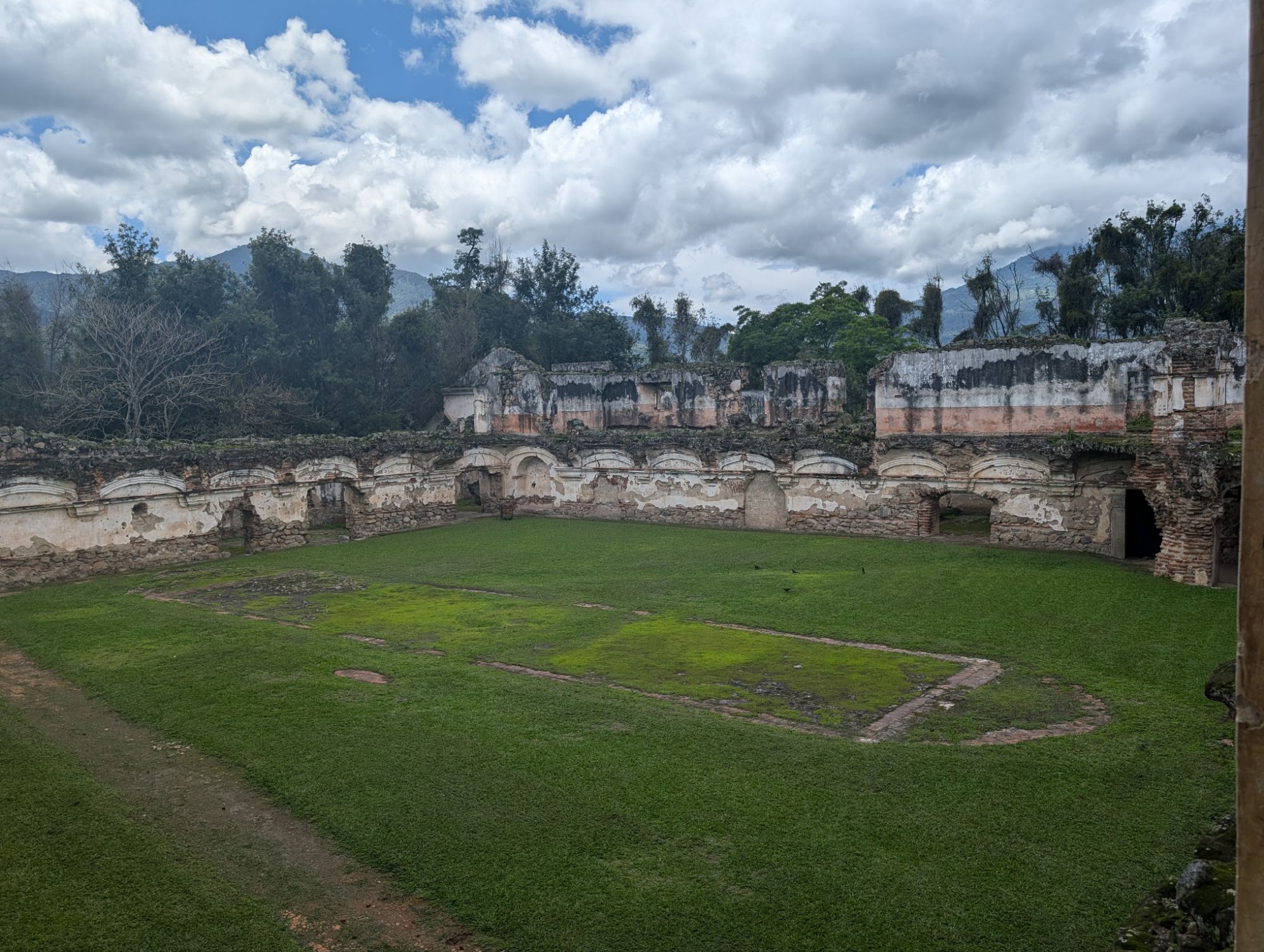
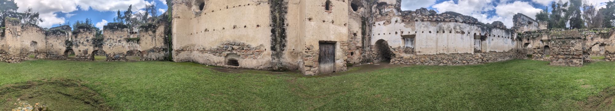
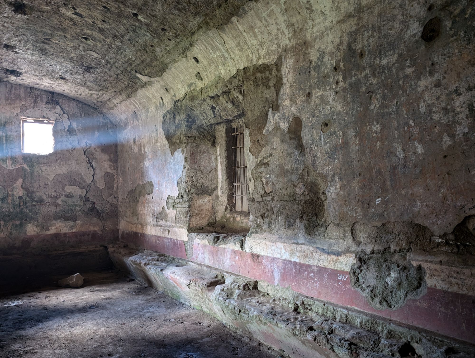
Within a half hour we were at San Ignacio and after a walk up a big hill (a kind local man offered to take me and my carryon up the hill in his truck when I was halfway) I arrived at the Cahal Pech resort which is next to the local ruins of the same name.
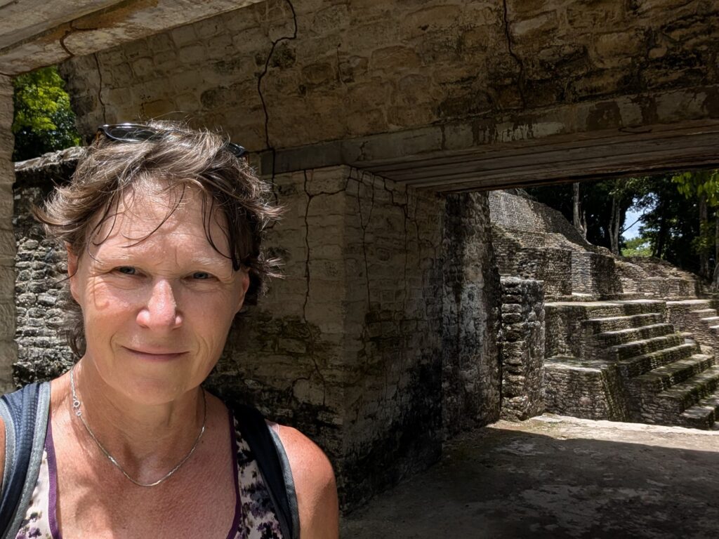
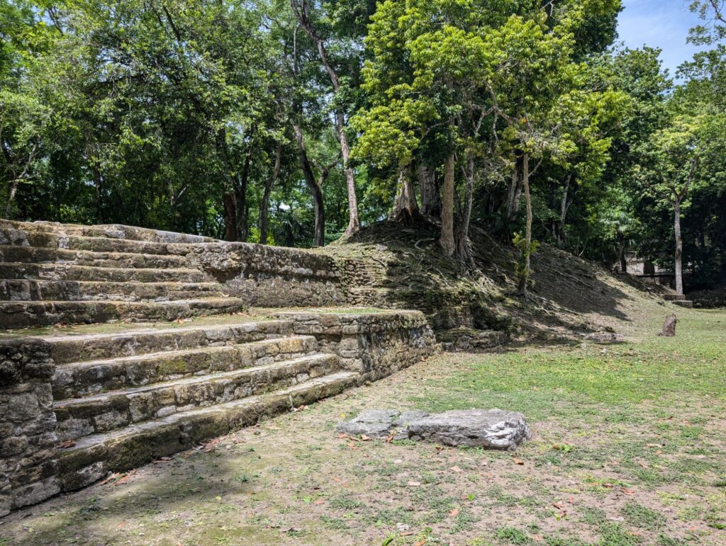
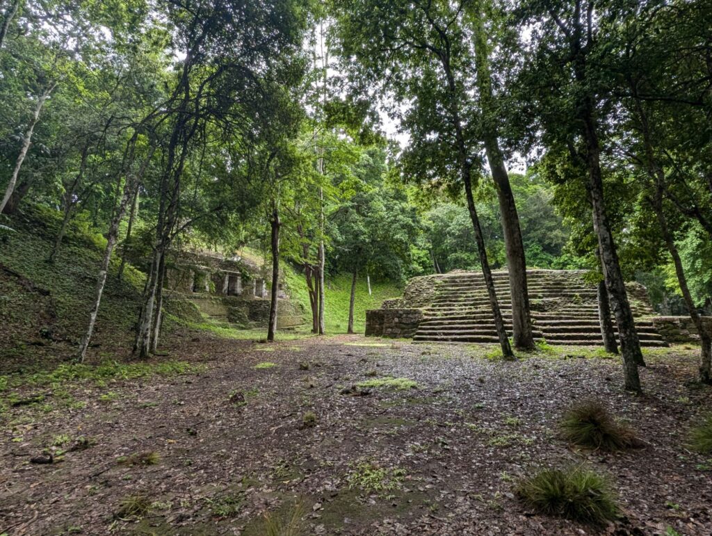
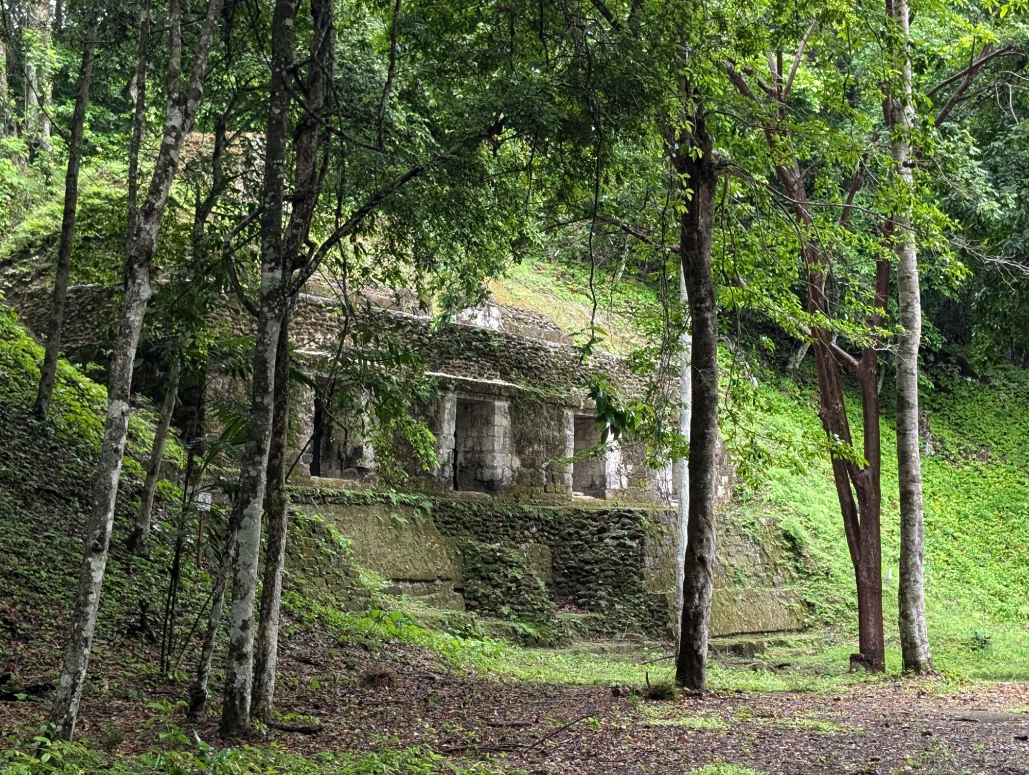
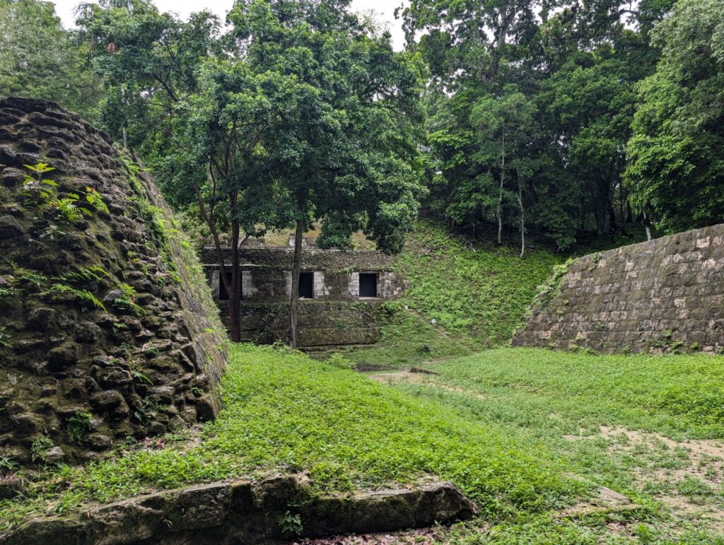
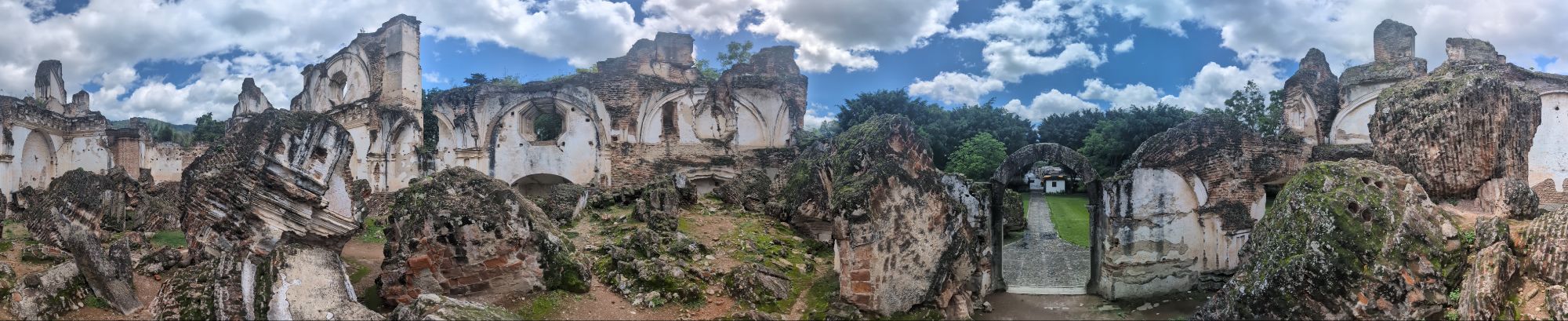
After dropping off my luggage I headed to the ruins.
A good friend of mine, Candy Shively, commented on my Tikal post about what I observed about the building styles in different parts of the world. I had actually been thinking about that and some of the information in these ruins answered some of my questions.
The layout of pyramids here and in Cambodia were central to people’s lives (the wealthy were the only ones in the palaces but markets and delegations still happened in these places).
One could think that here in Mesoamérica they were not skilled or intelligent because of how they built. But in reality, every place in the world was constrained by what they had available to them. The concept of the wheel was known here and artifacts of children’s toys had wheels. But the lack of large animals like horses, etc. made the use of wheels not as efficient as in early Europe.
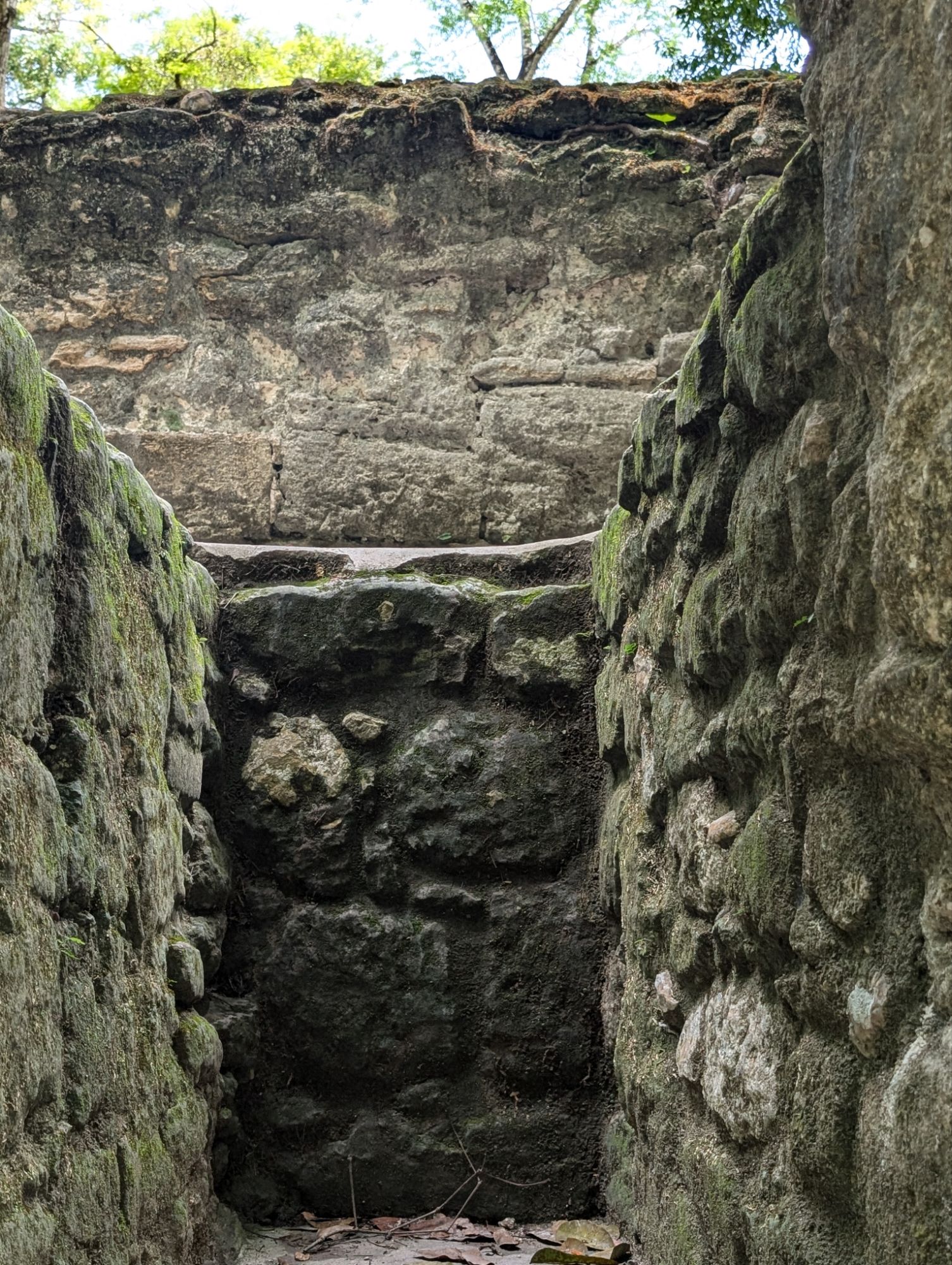
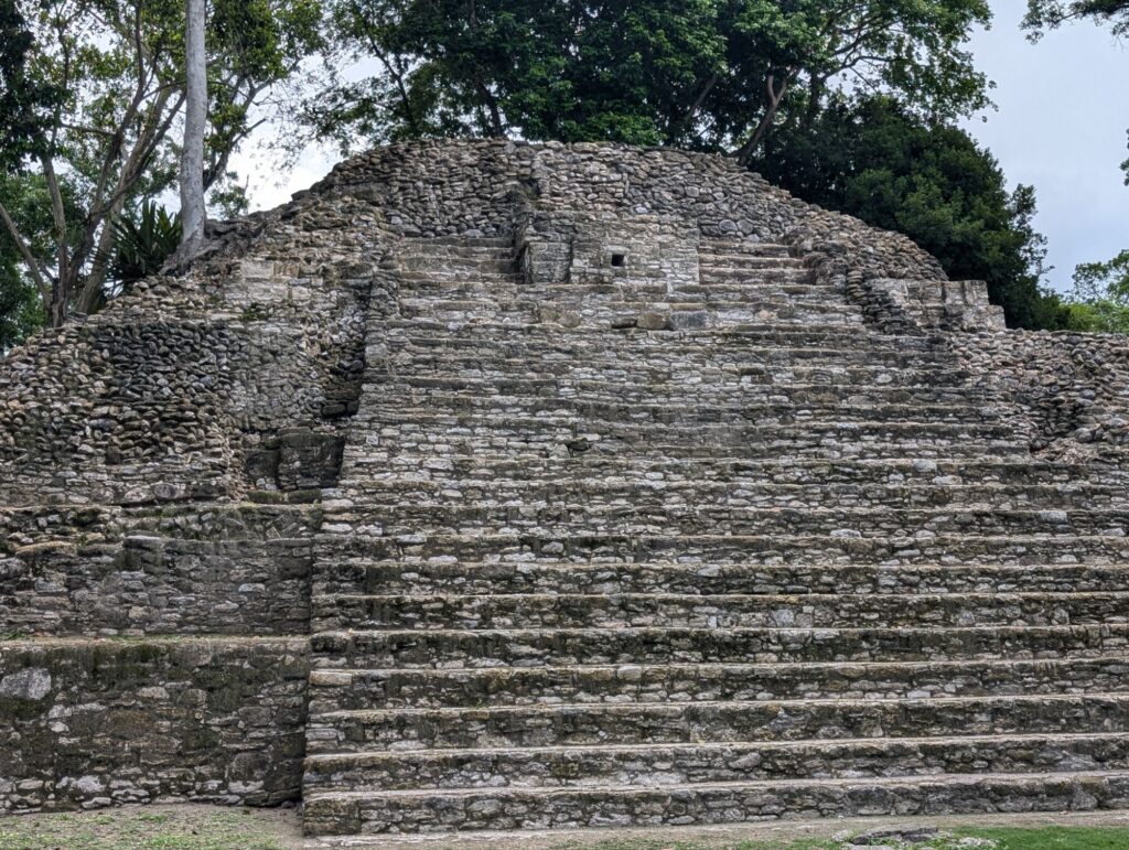
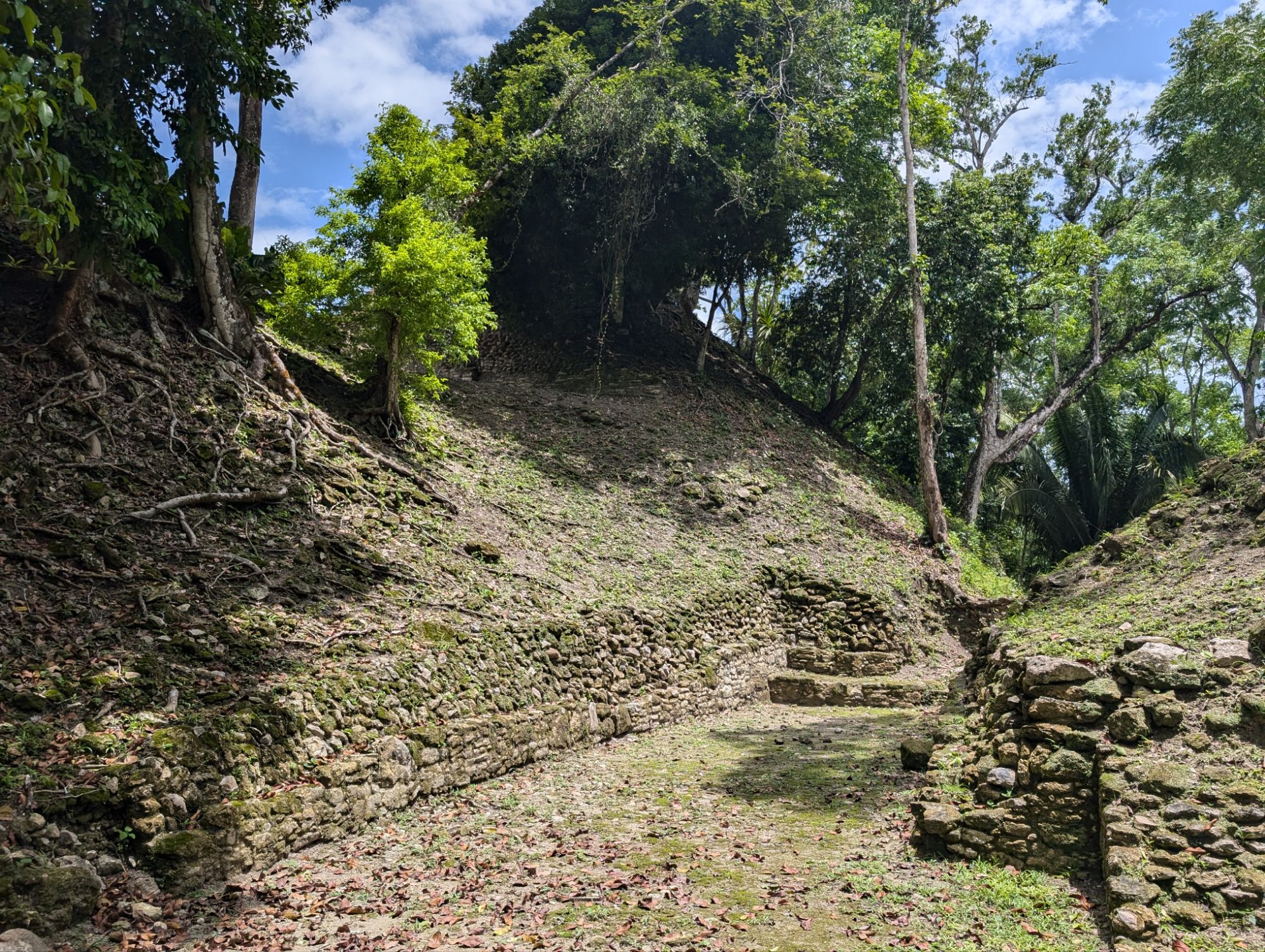
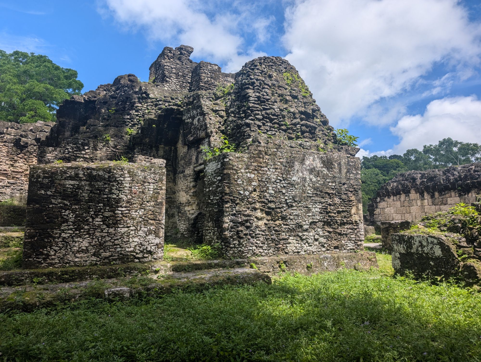
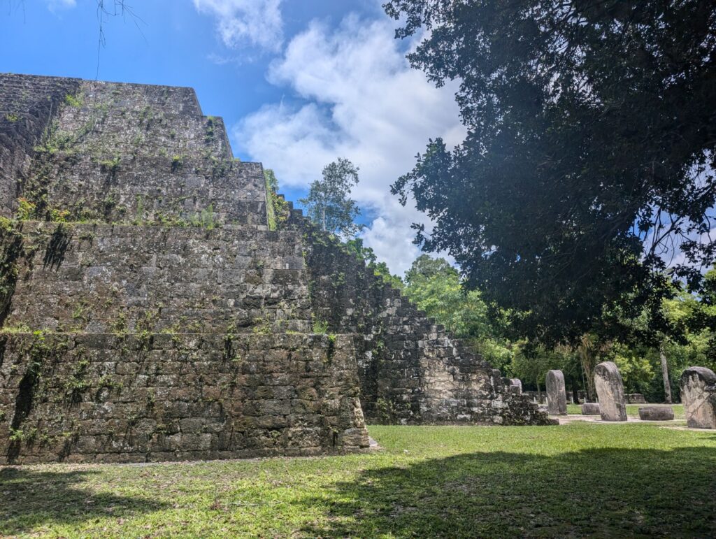
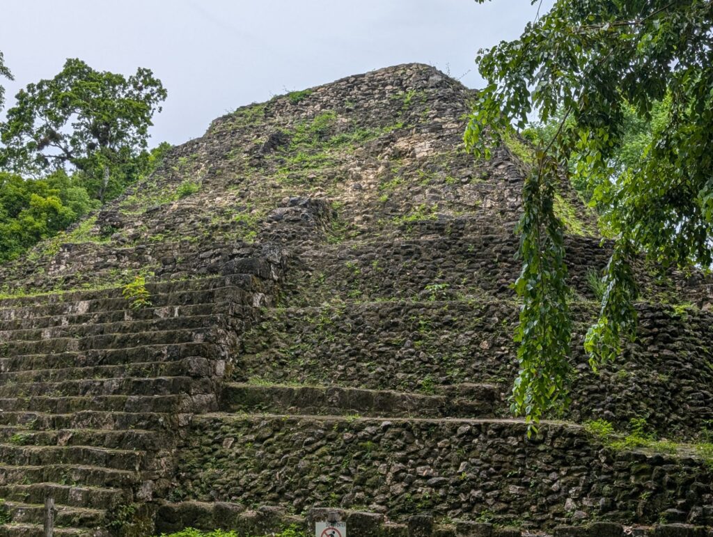
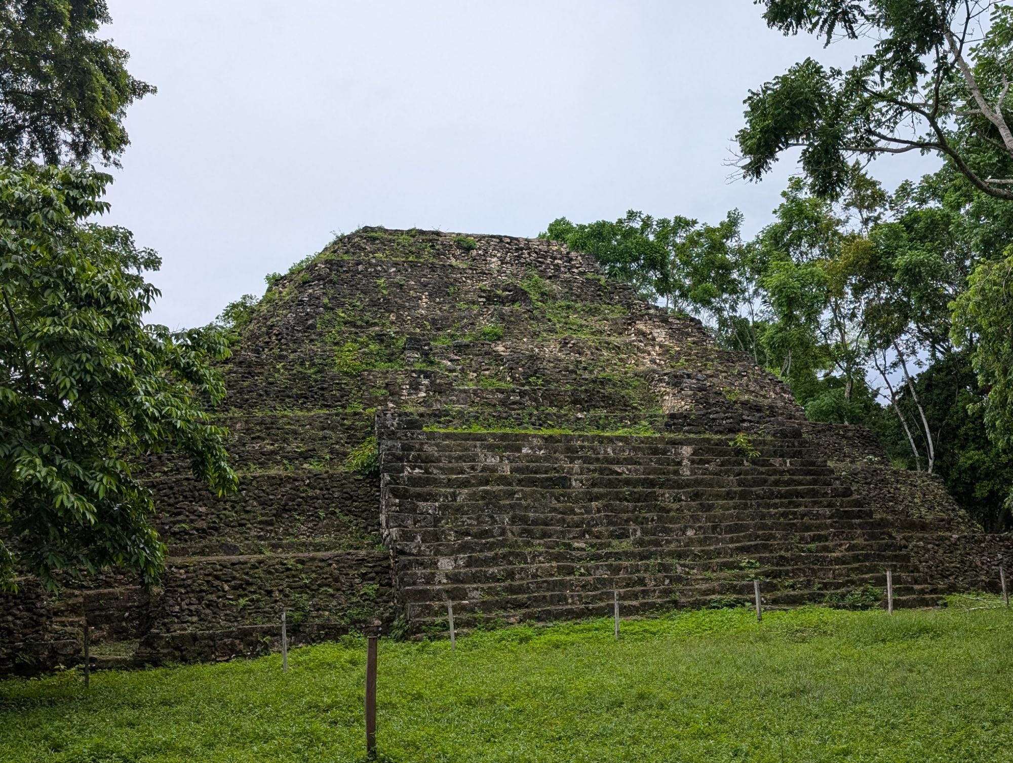
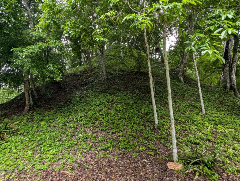
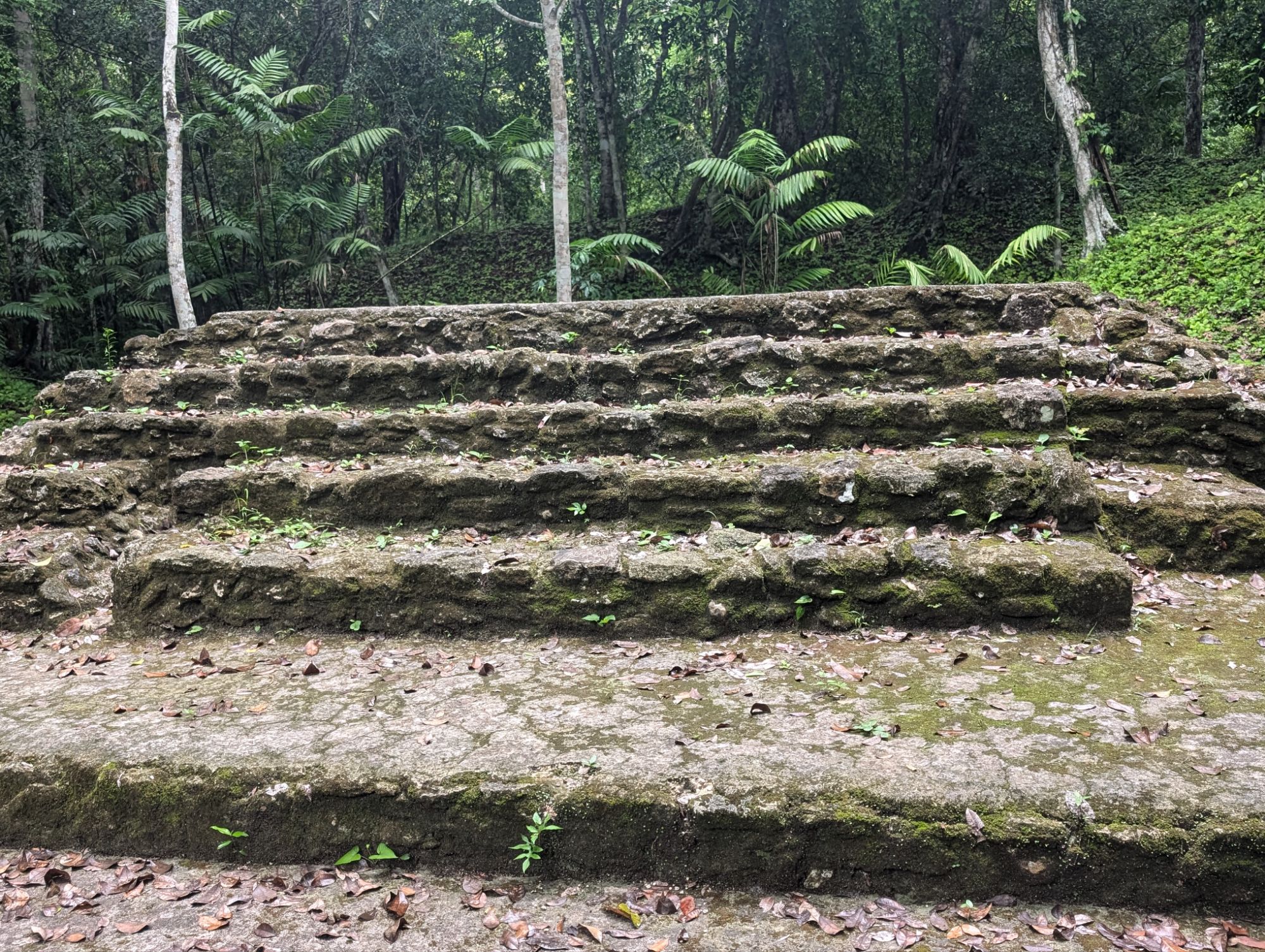
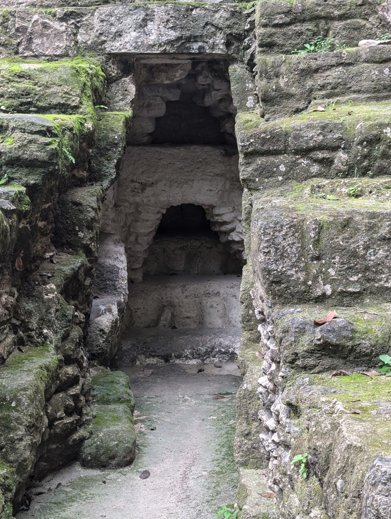
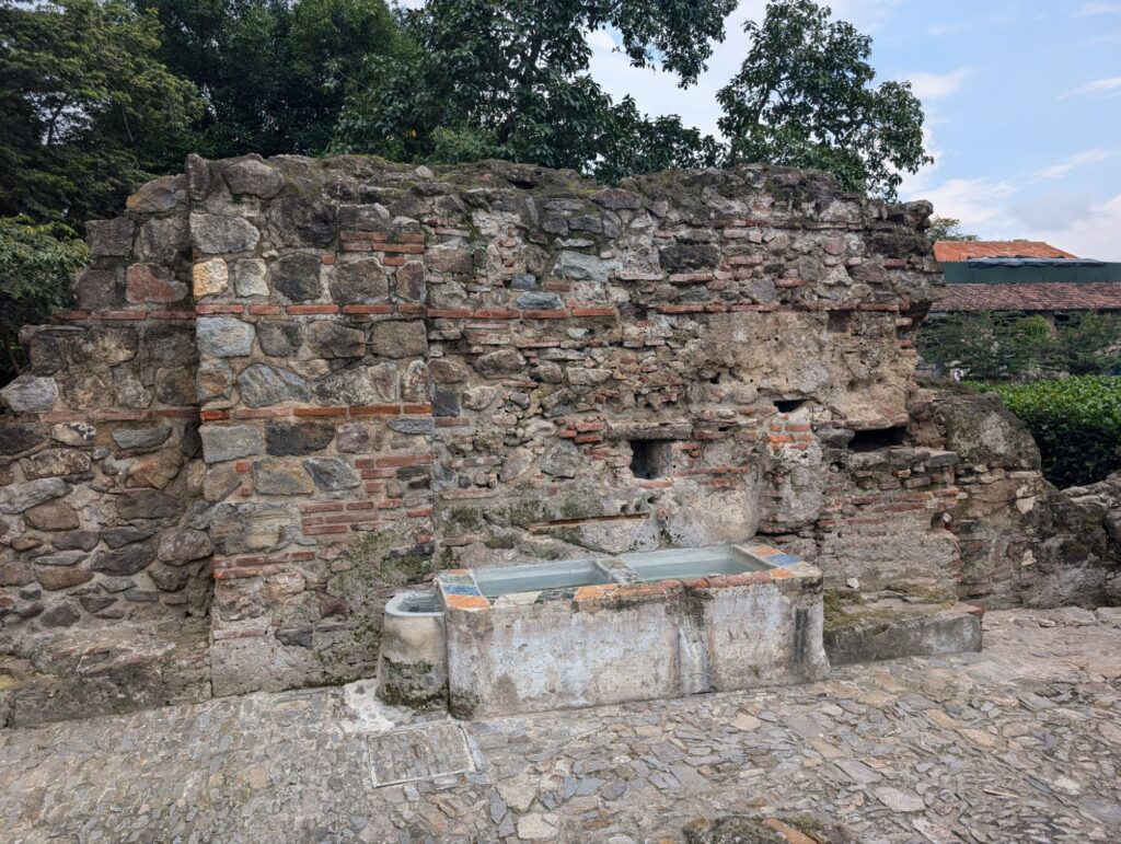
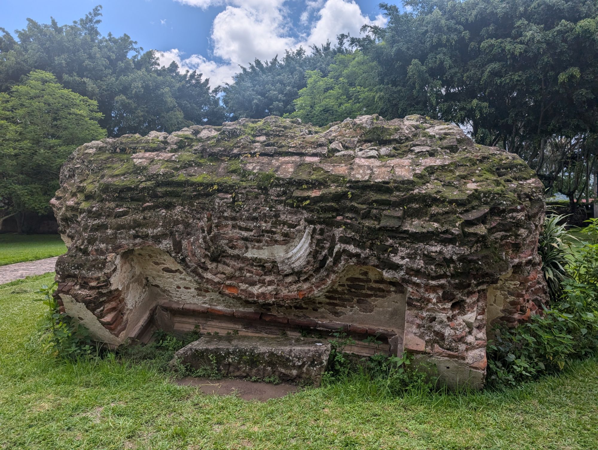
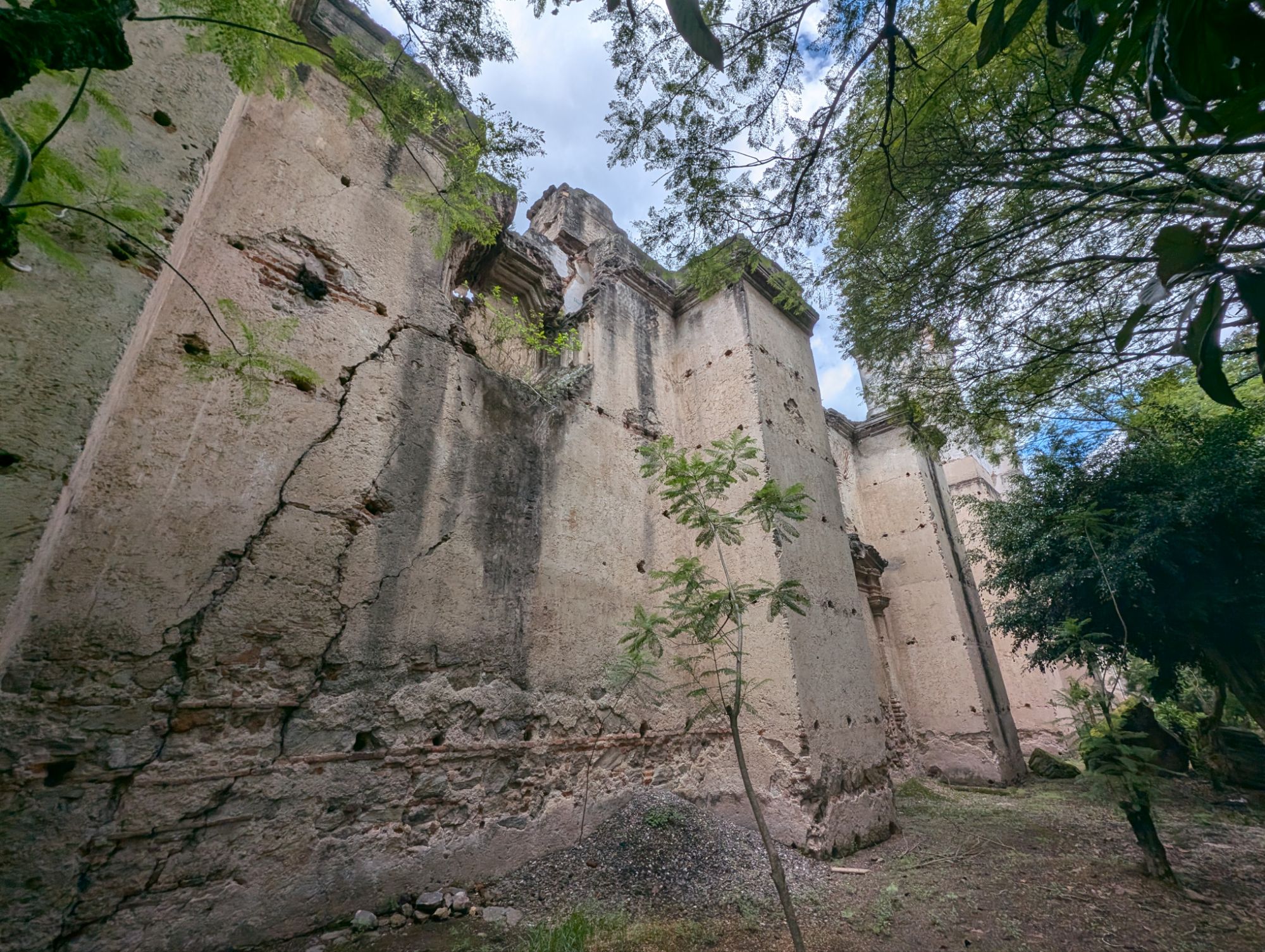
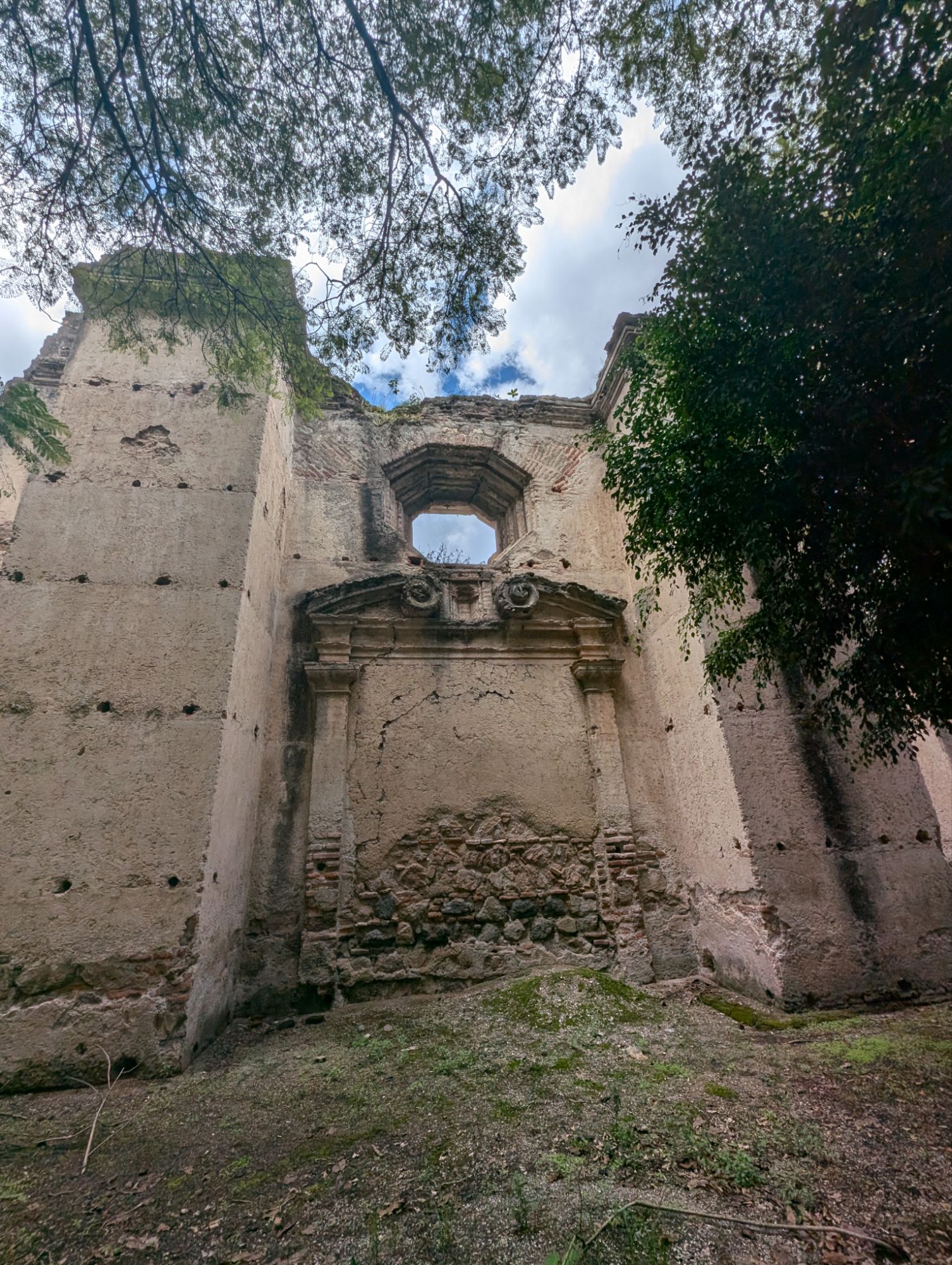
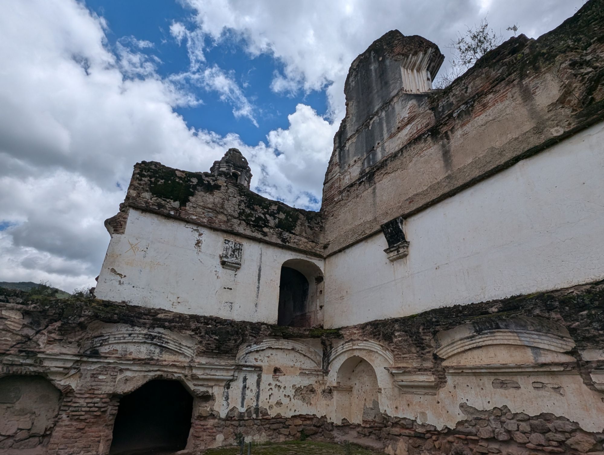
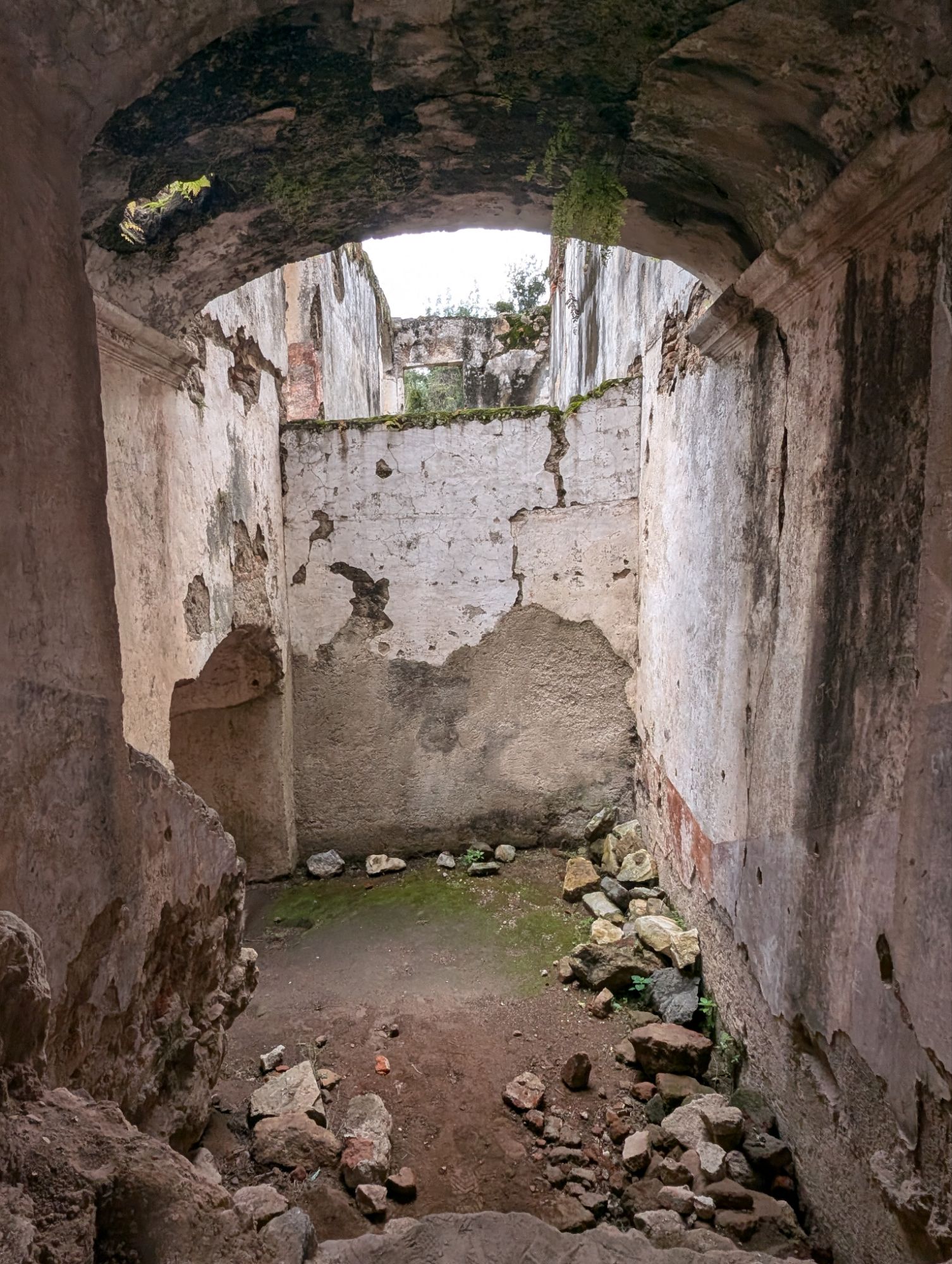
Locally available limestone was cut and moved on the backs of workers. The pyramids here are solid with smaller pyramid structures under the larger parts. They did not use metal tools for cutting as the resources for forging are not existent here. They were however skilled at making cement. Cementing helped keep the rock’s together though as you know, nature always wins.
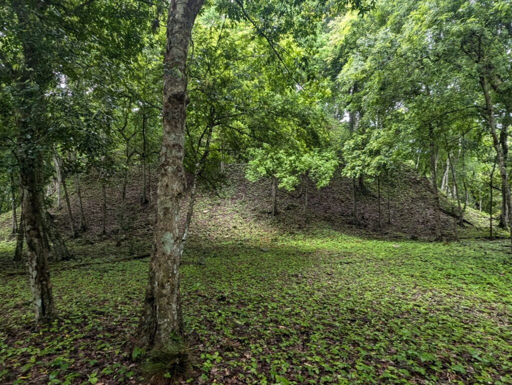
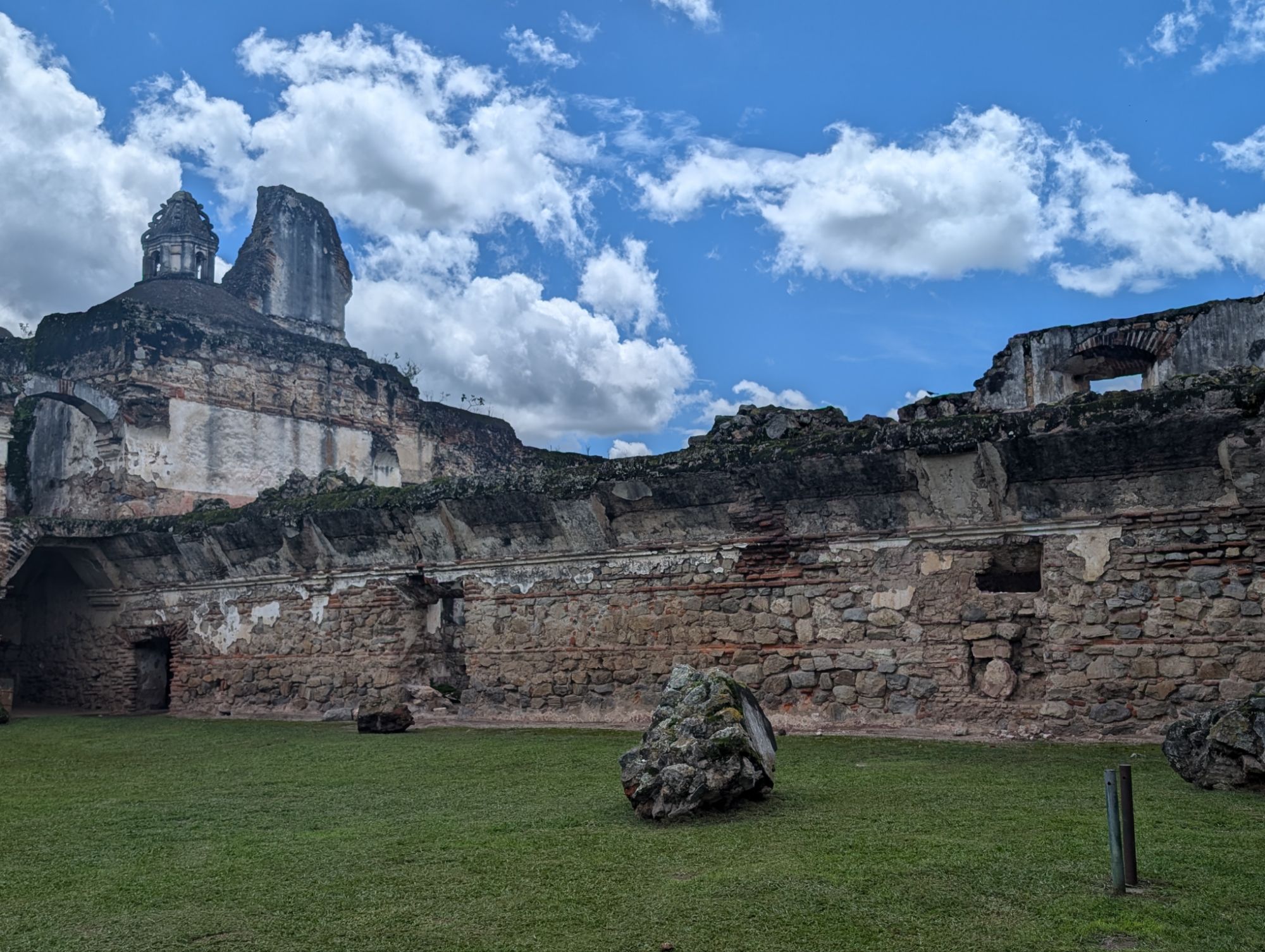
Nature taking over the tops of structures
In other parts of the world it is different. In the middle east (my only experience is Turkey), they used mud and baked clay bricks. In Europe, wood was abundant for building. In China, they used rammed earth methods for foundations and also used wood, especially in the north. In Cambodia they used large limestone bricks but did not use cement to hold them together. The rocks were cut and aligned precisely. In Egypt, their stones are much larger and moved using rollers and water to reduce the friction on the sand. The change in elevations and the availability of water here in Mesoamérica would make that impossible.
In Egypt and Cambodia, as here with the Mayans, they were precise and used astronomy to lay out the structures along cardinal points with remarkable accuracy. These aligned with astronomical events central to their lives and religious purposes.
The uses of the pyramids are also different. Pyramids in Egypt are used for the burial of pharaohs. In Mesoamérica and Cambodia, they are the center of daily life and used for rituals. Therefore, they are solid inside and more ornate on the outside, with steps for ceremonial purposes at the top. Both Cambodia and Mesoamérica were masters at water irrigation, constructing cisterns around and through their temple cities.
I really marvel at the layouts and imagine what life then would be like. I think the ingenuity of humans is similar everywhere using what they have available and using resources in different ways to solve problems.
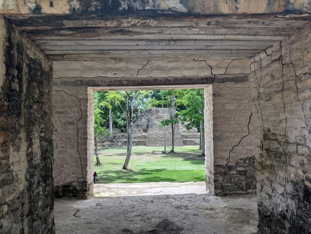
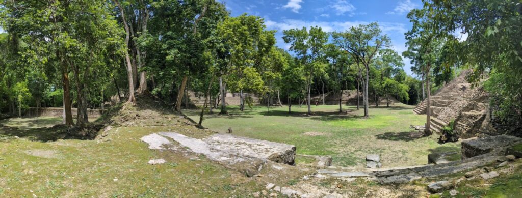
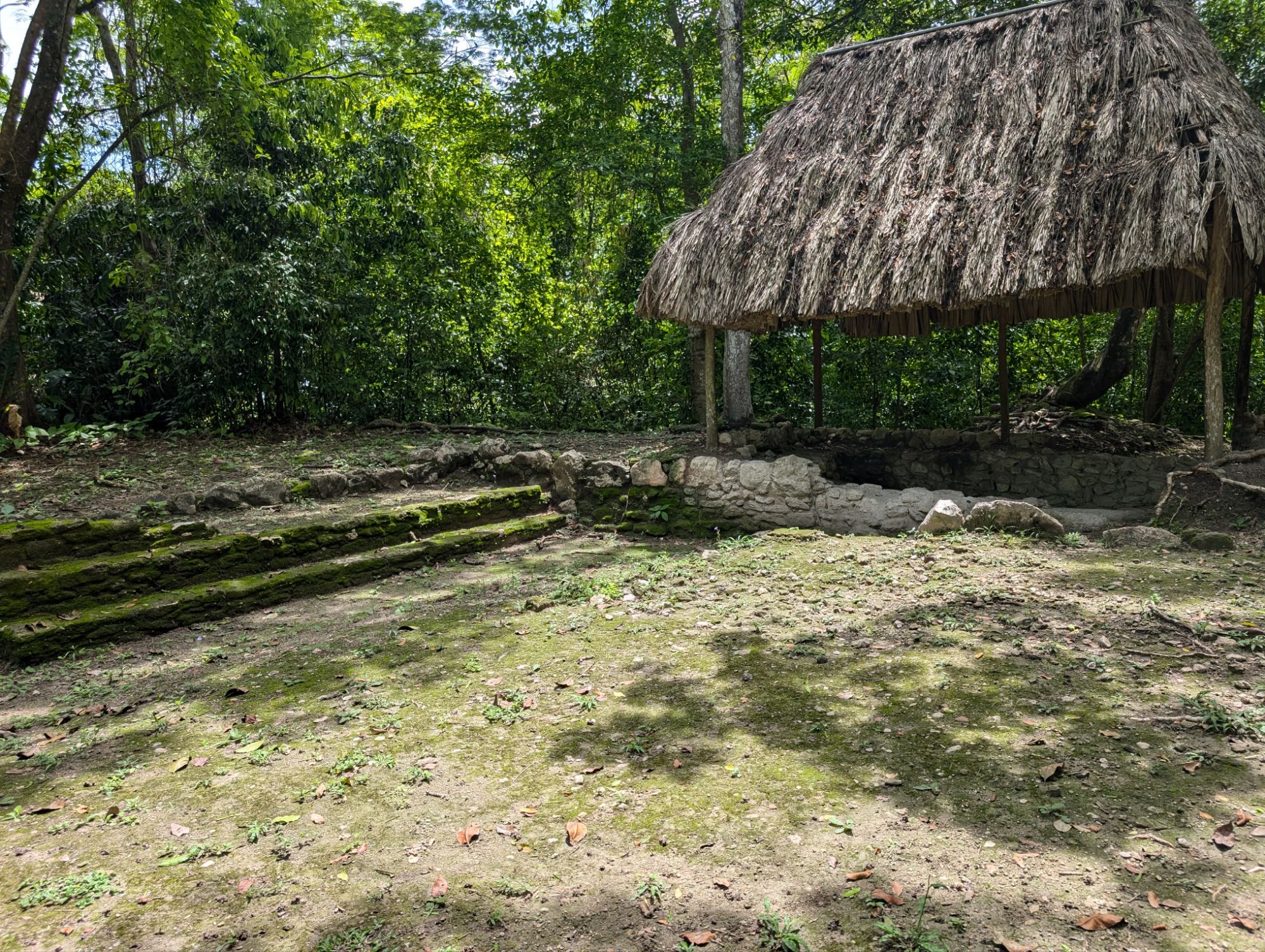
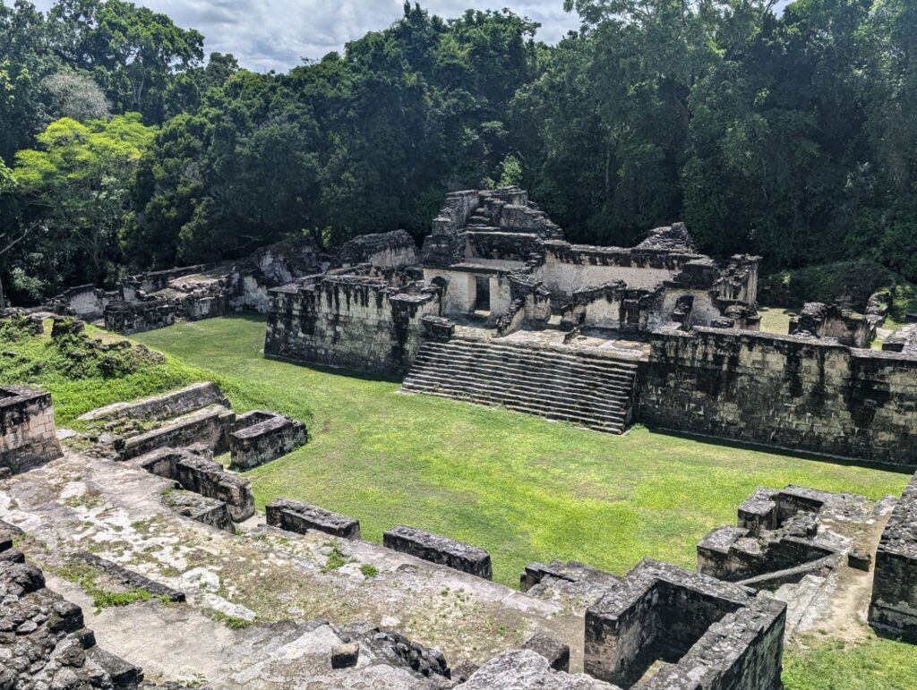
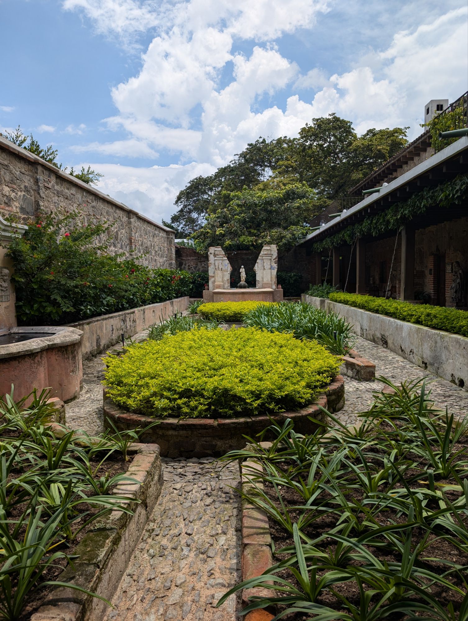
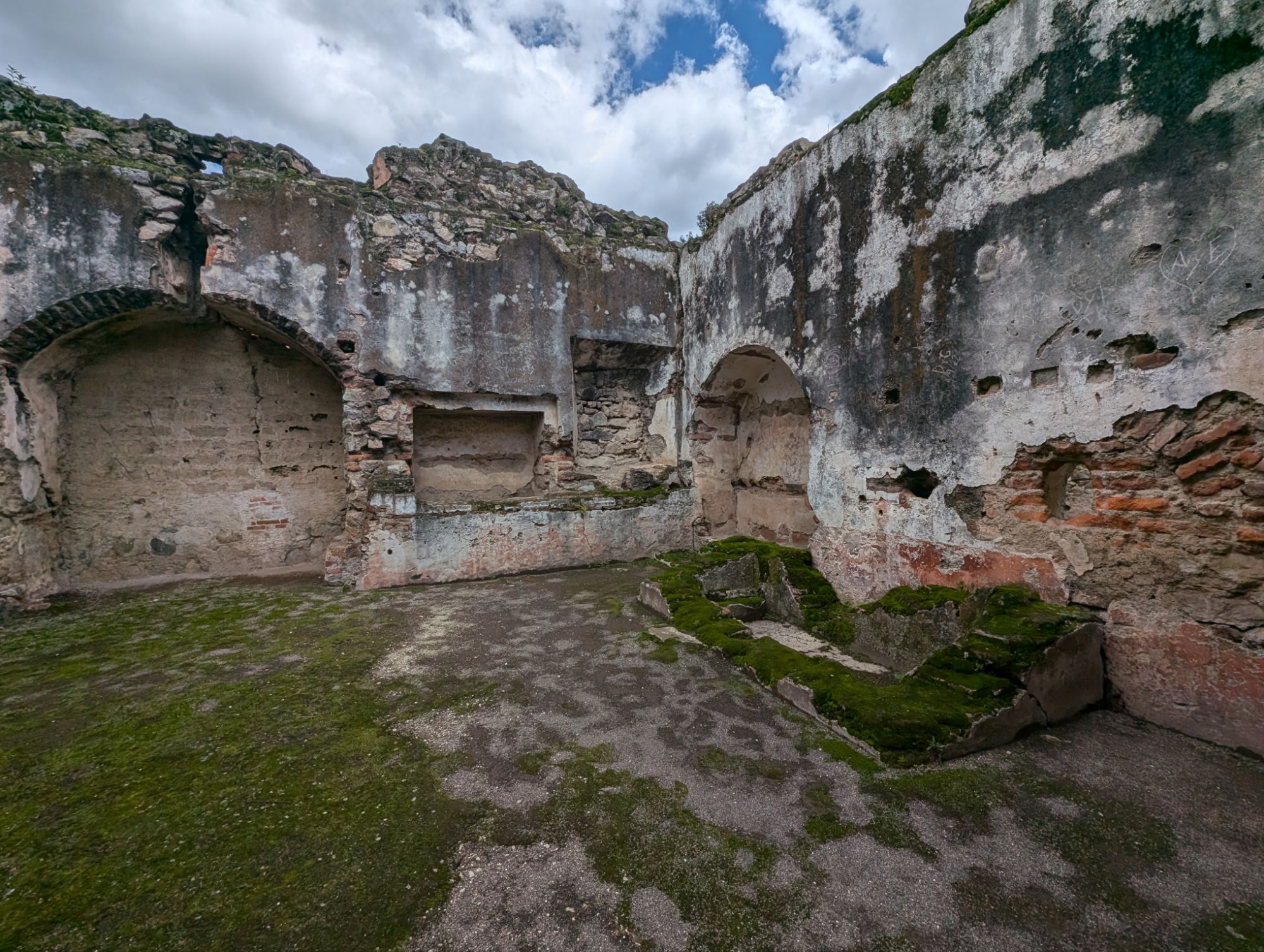
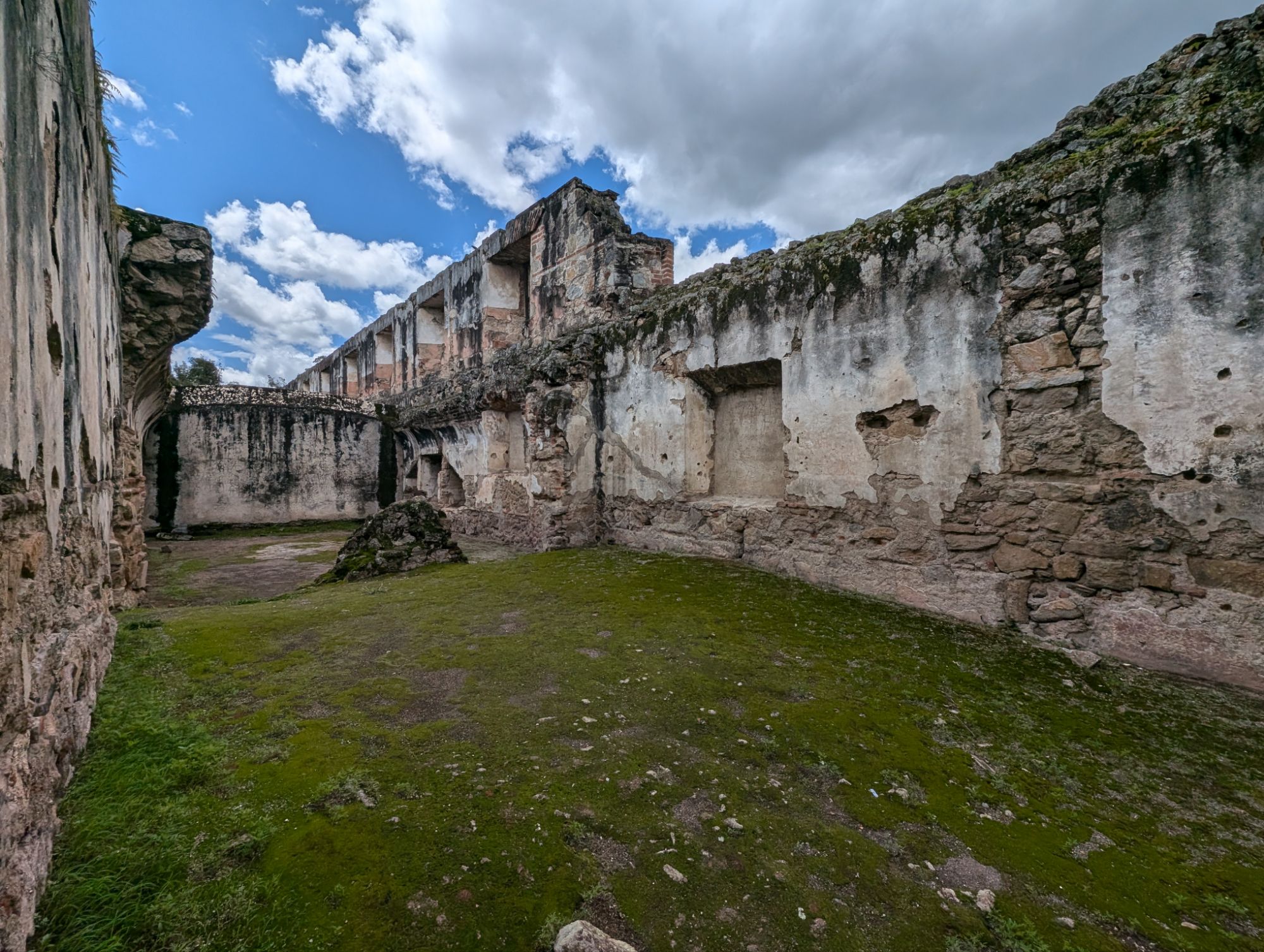
Plazas, which are courtyards, are central to the life in these pyramid cities.
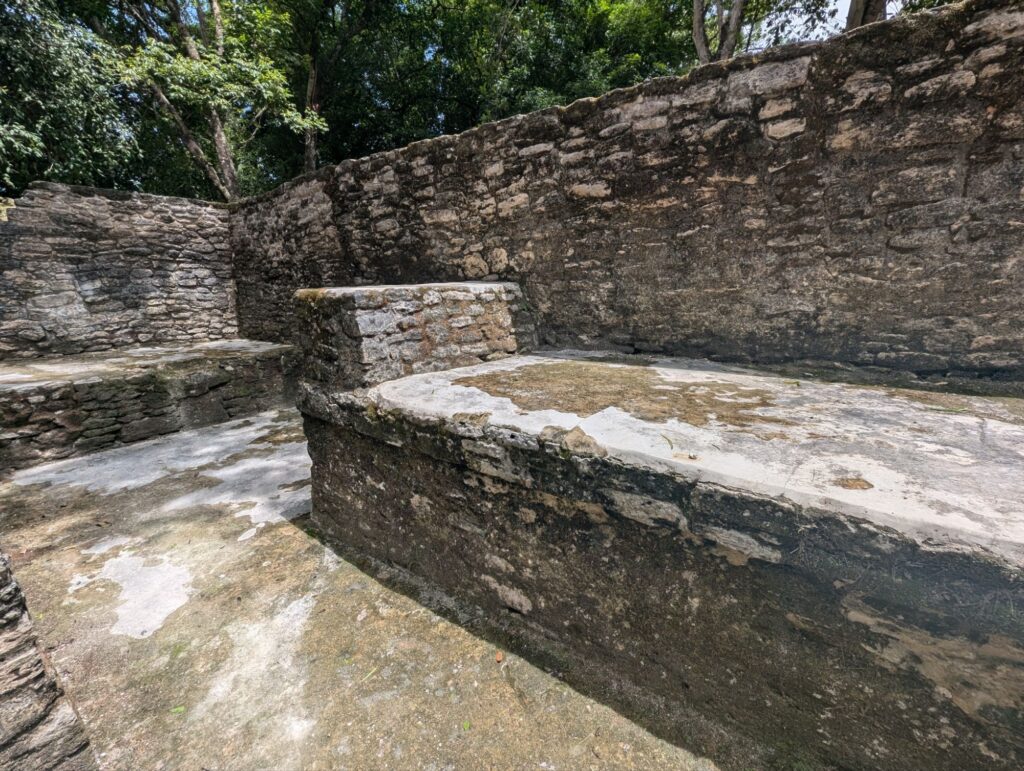
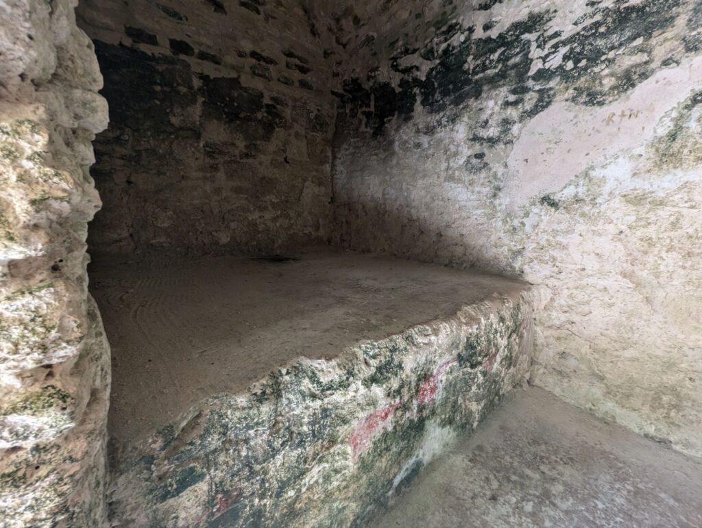
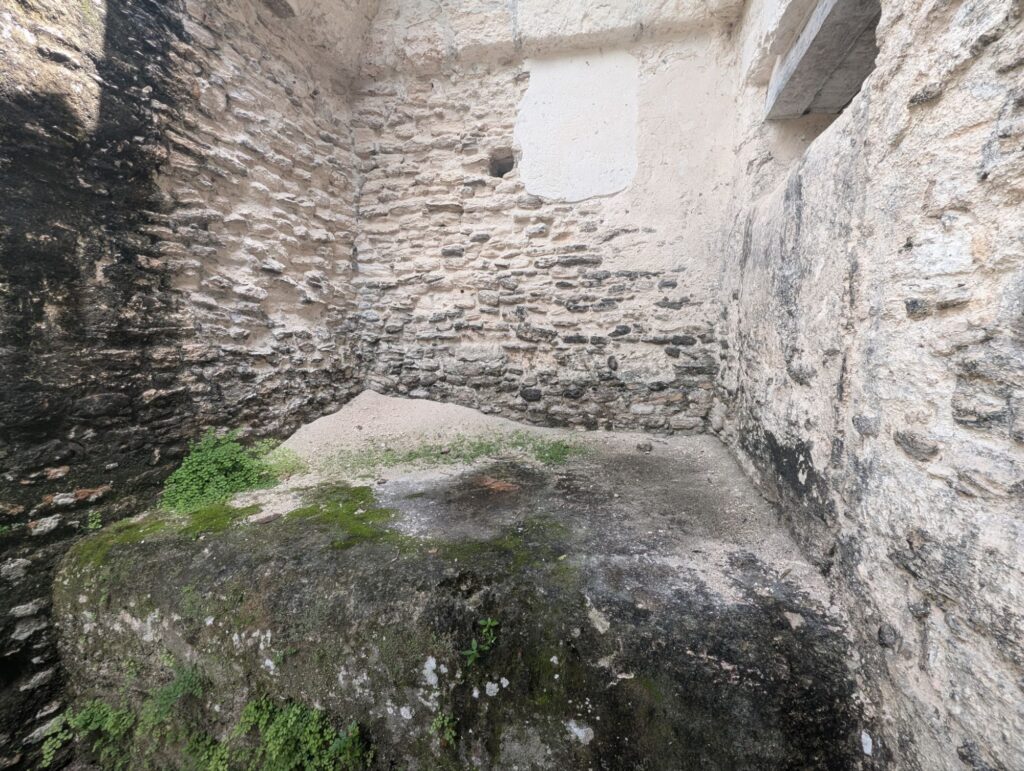
Residences had stone beds where ticking would be used for some comfort.
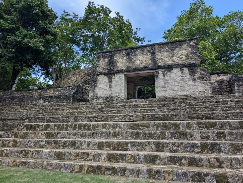
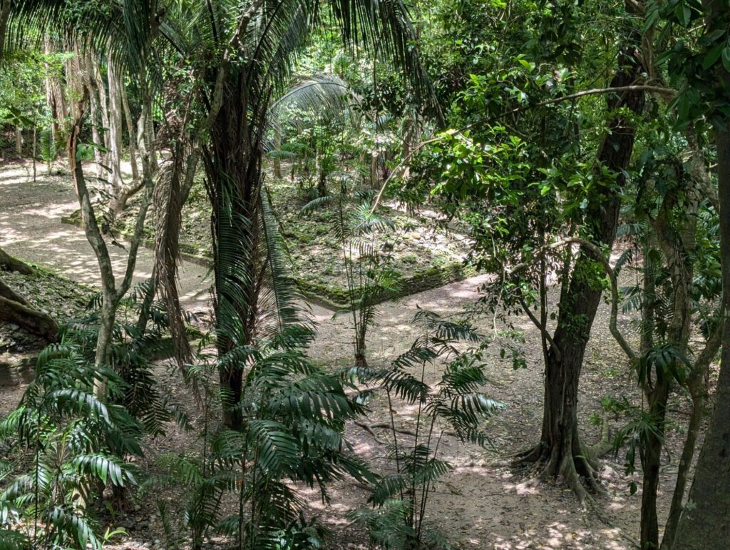
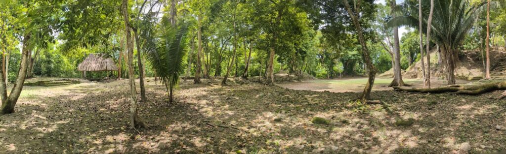
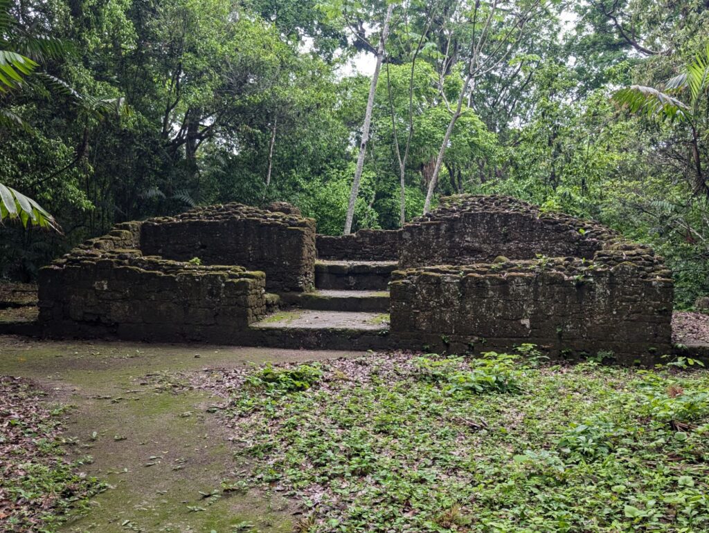
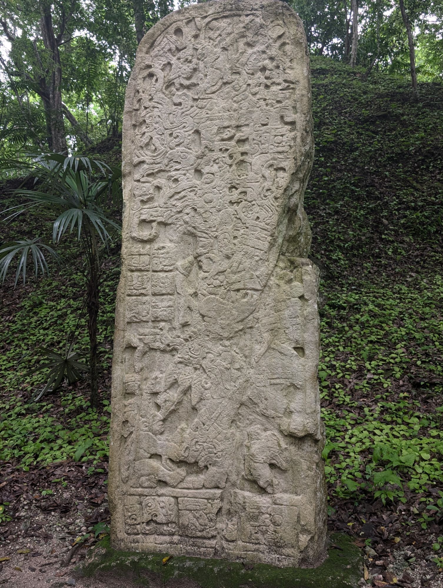
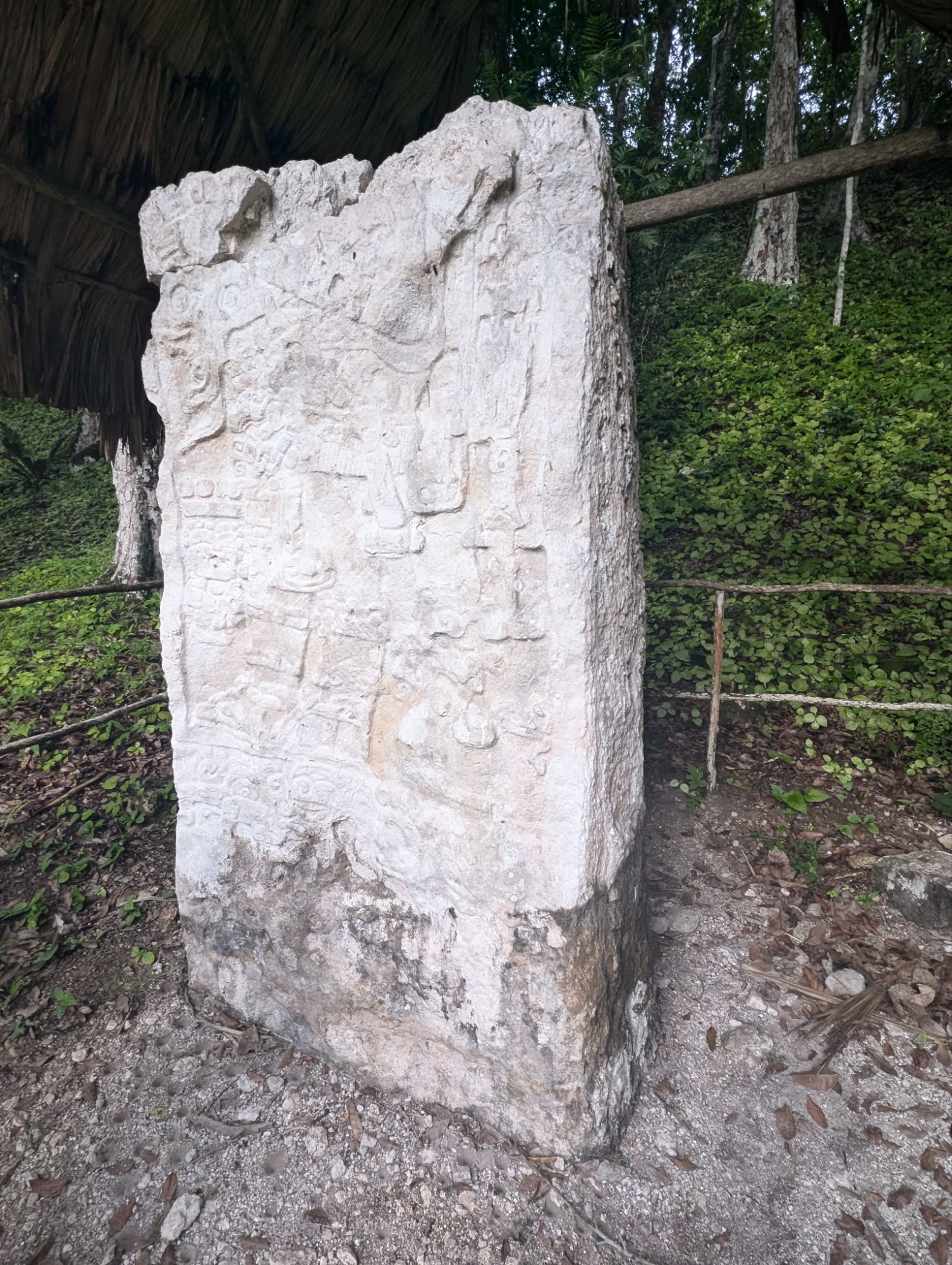
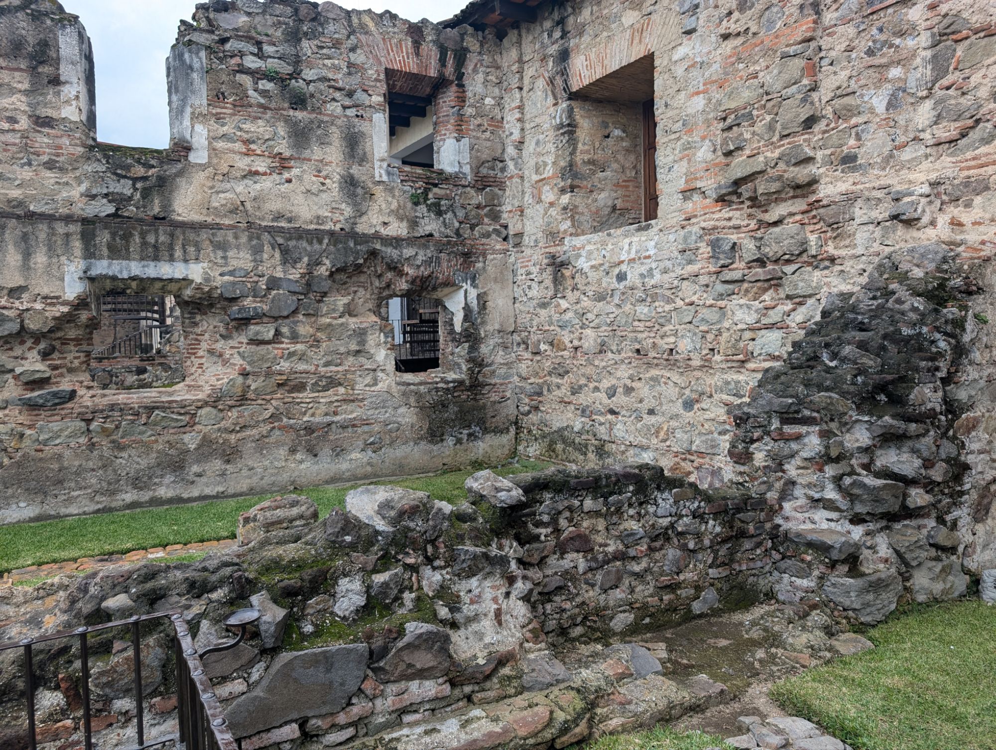
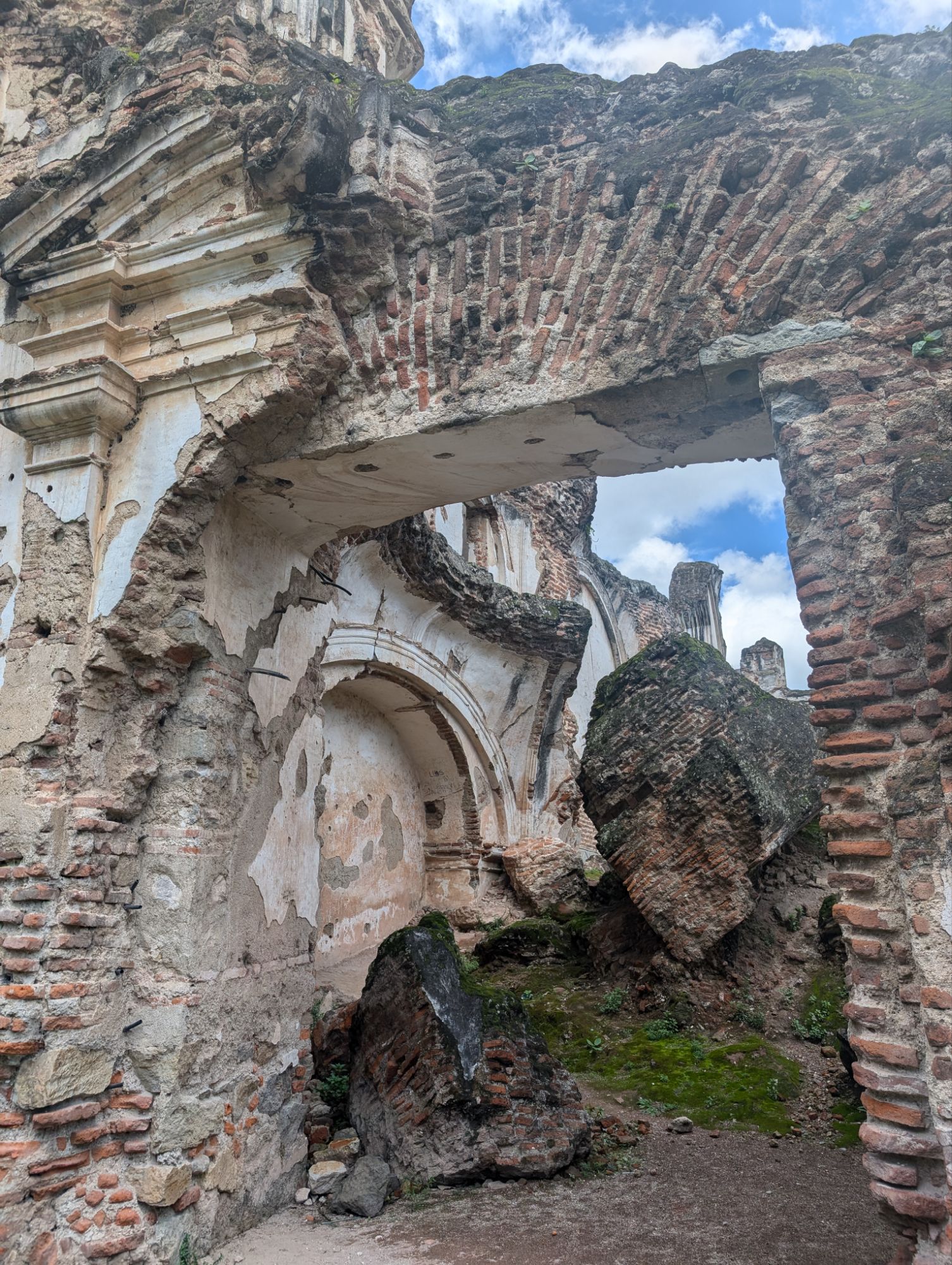
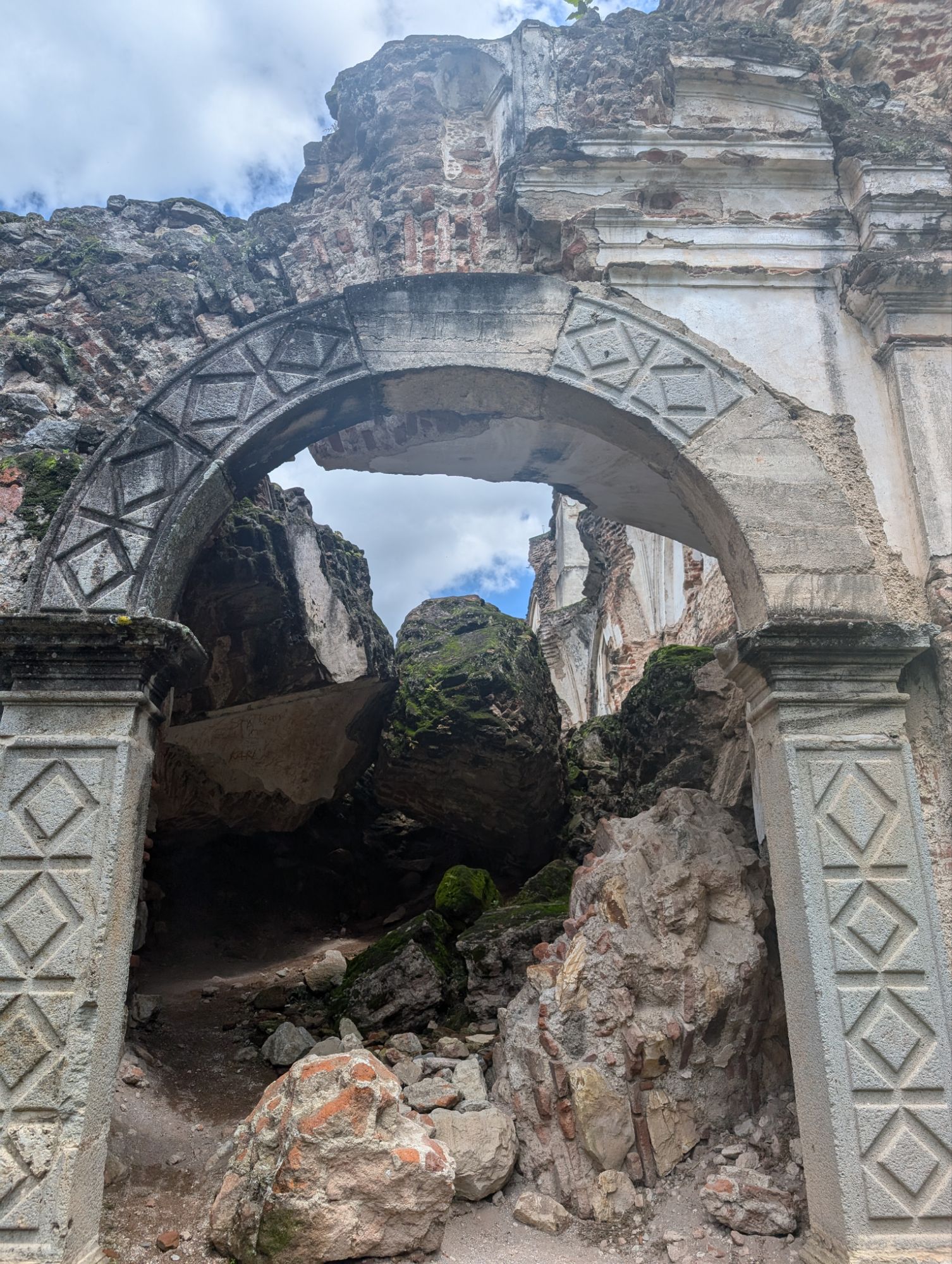
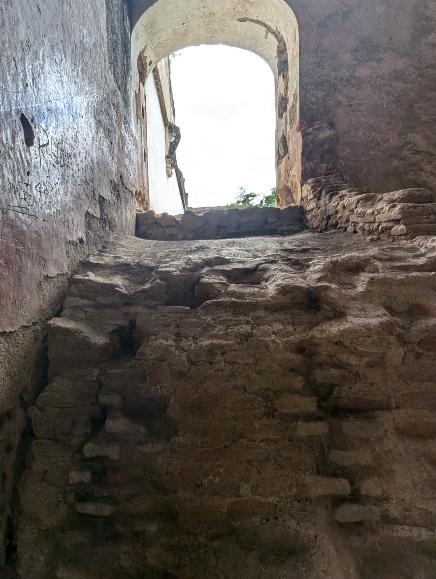
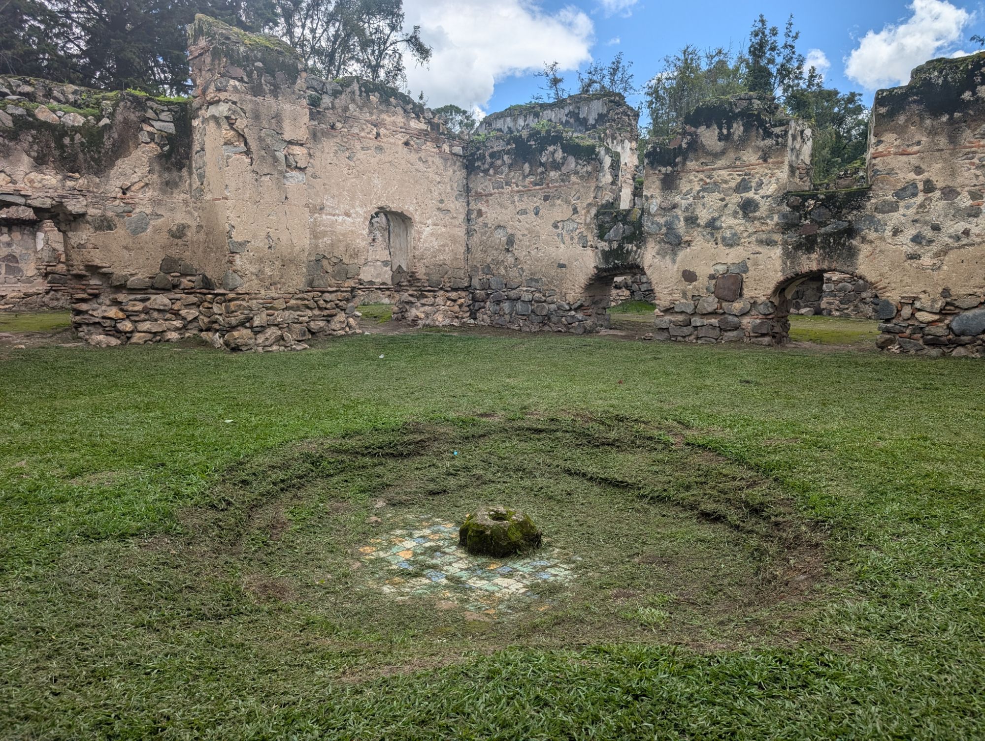
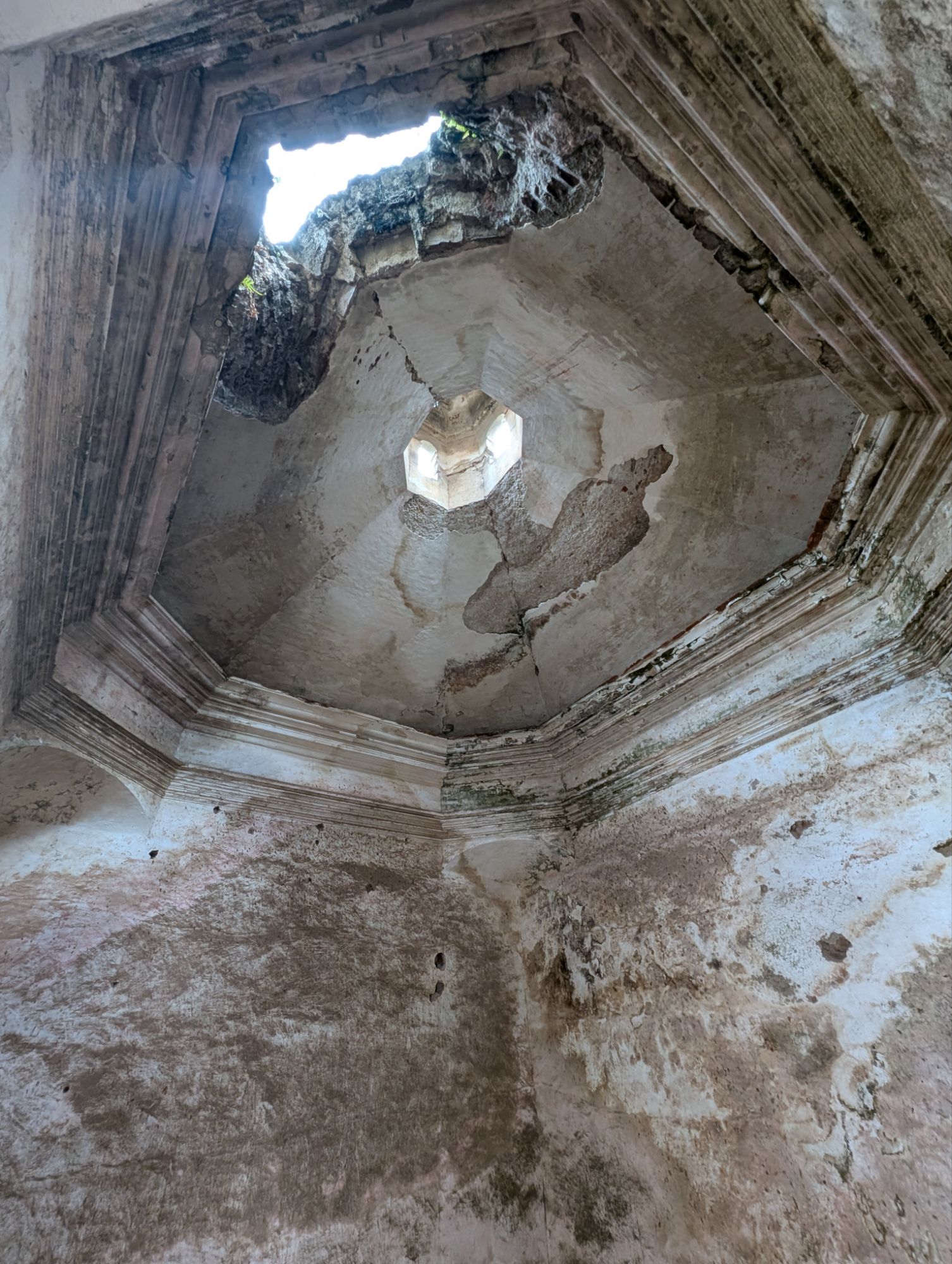
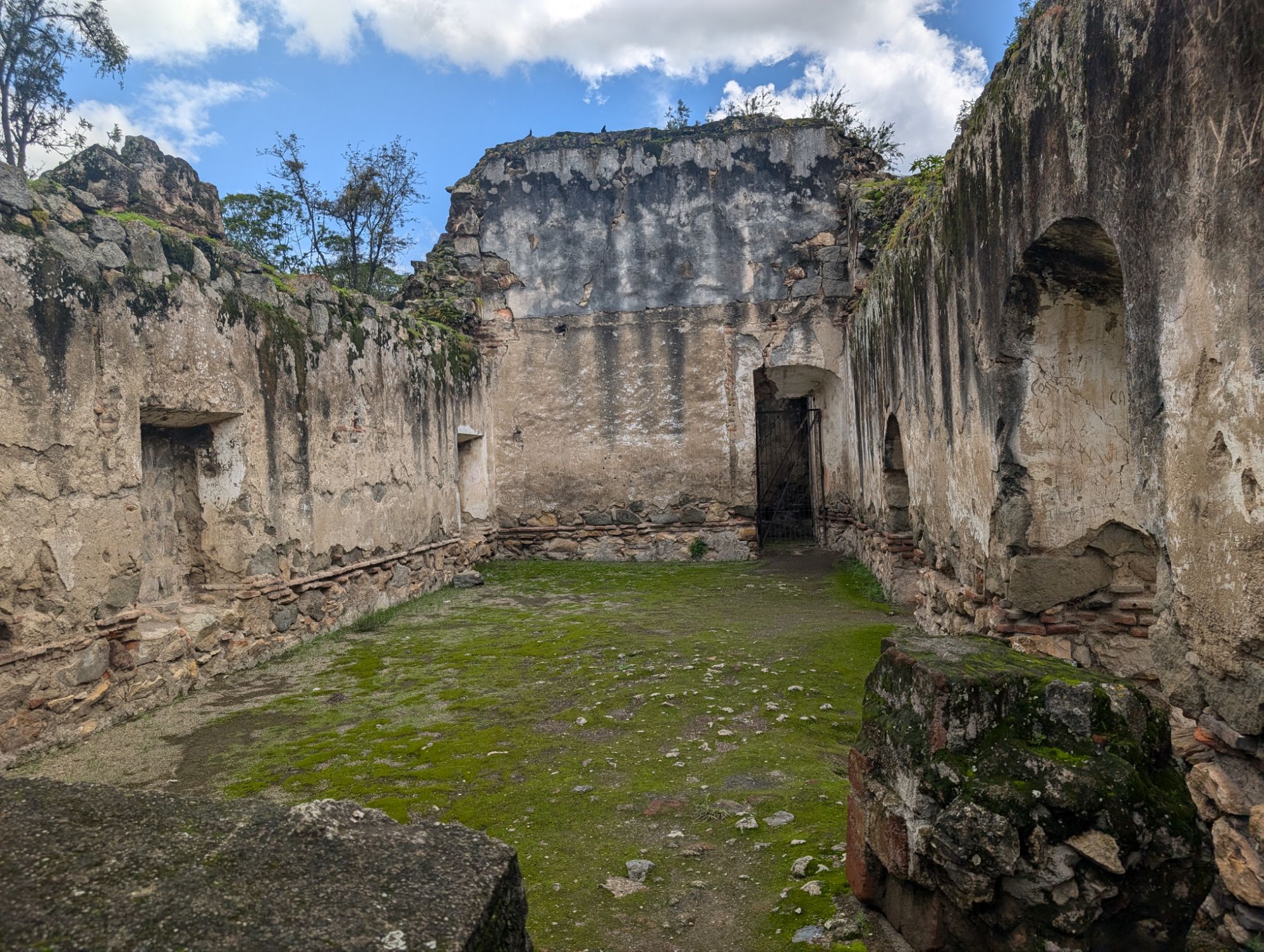
Other pictures of Cahal Pech
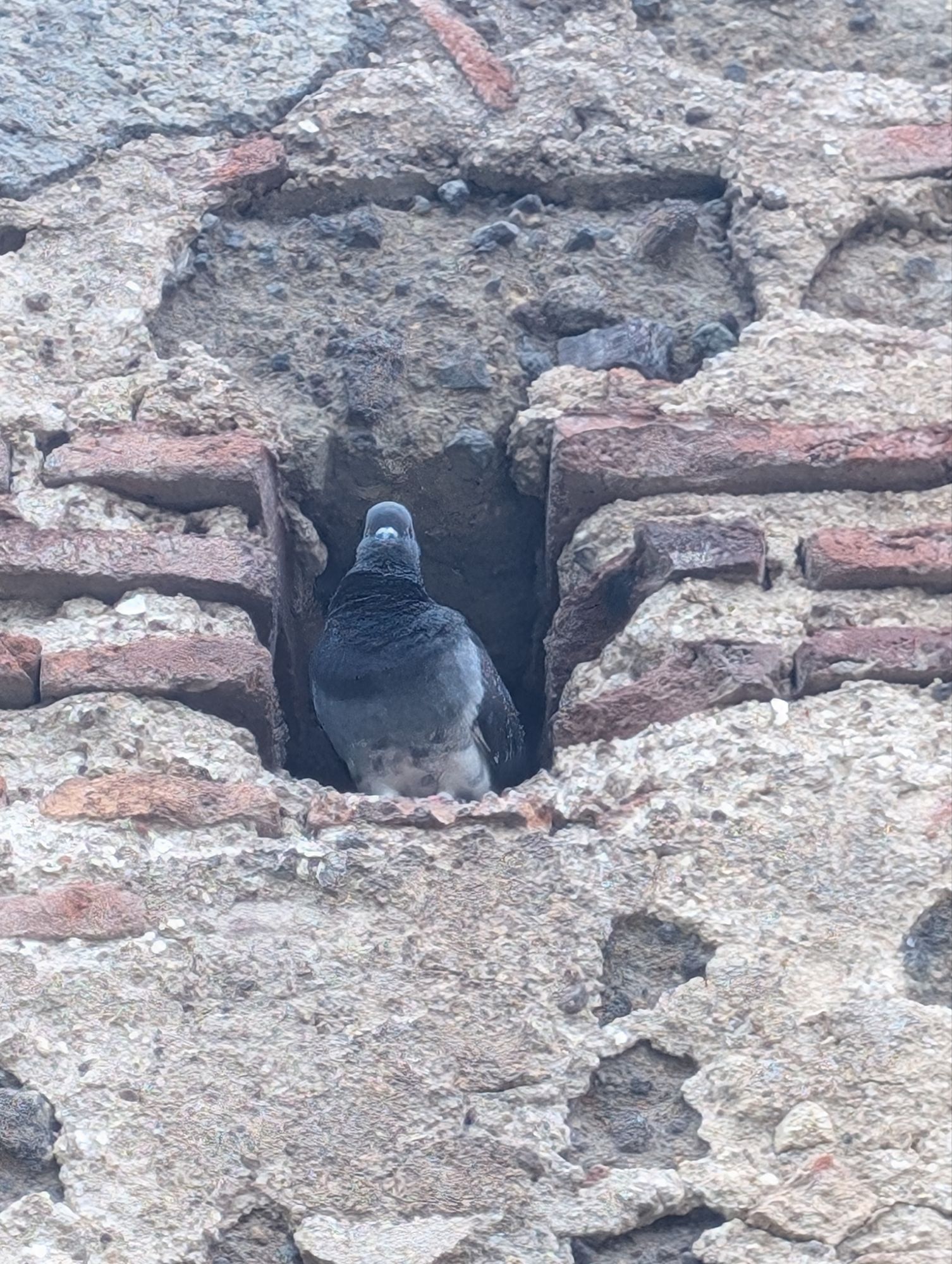
New resident in the building…
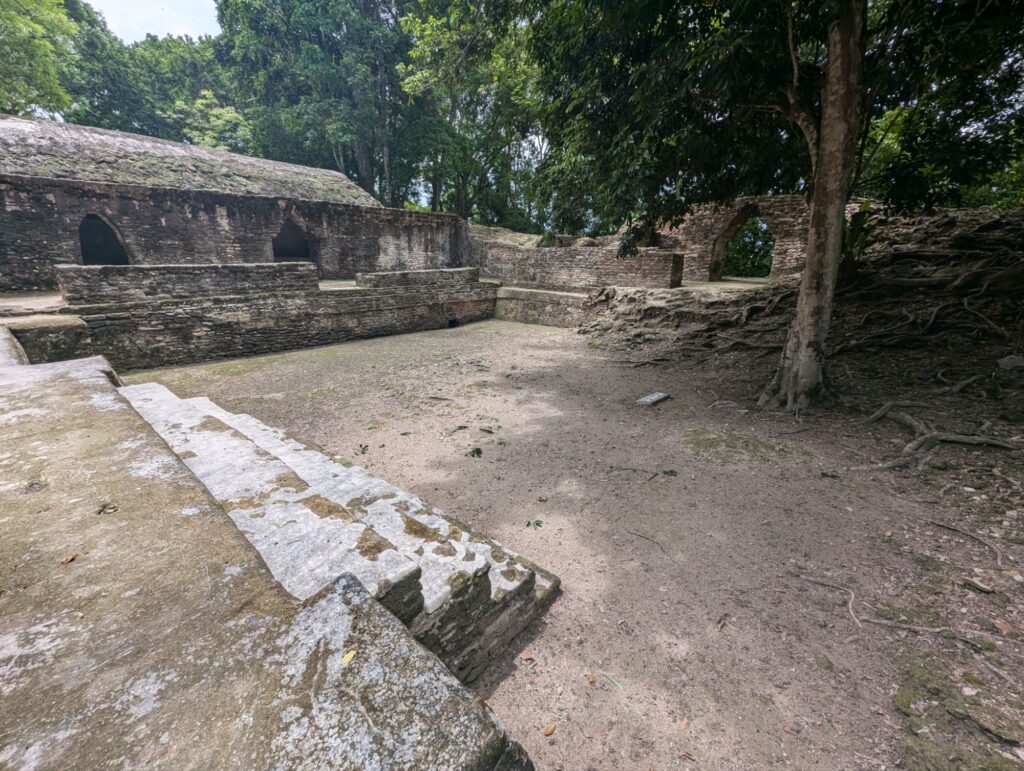
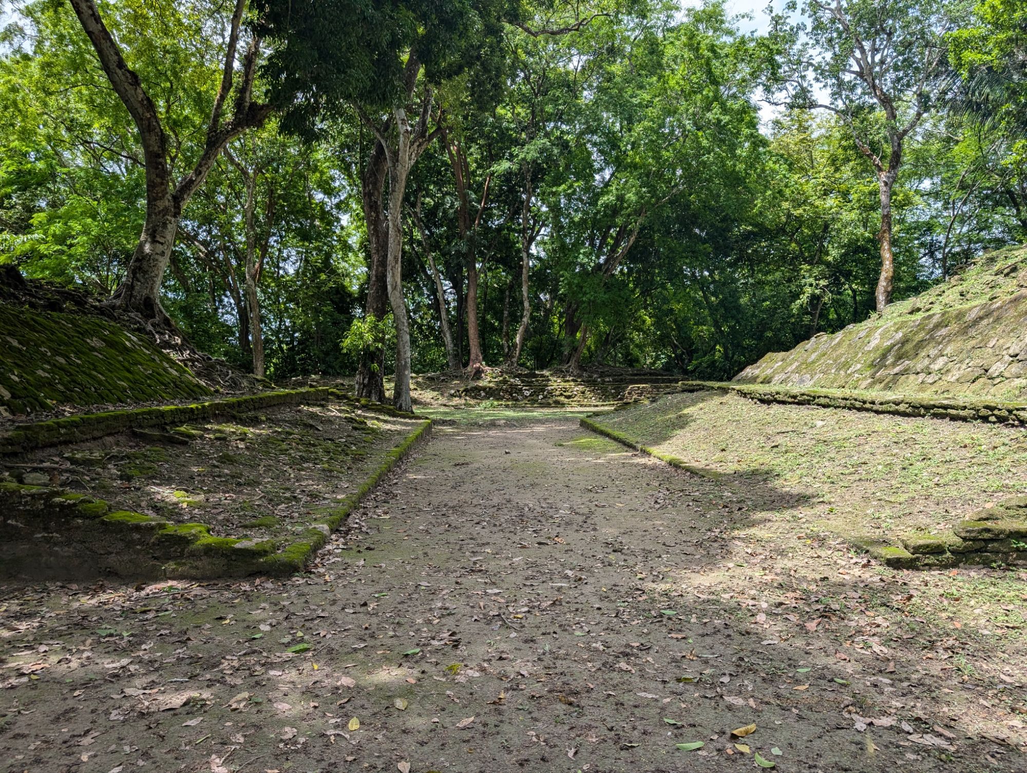
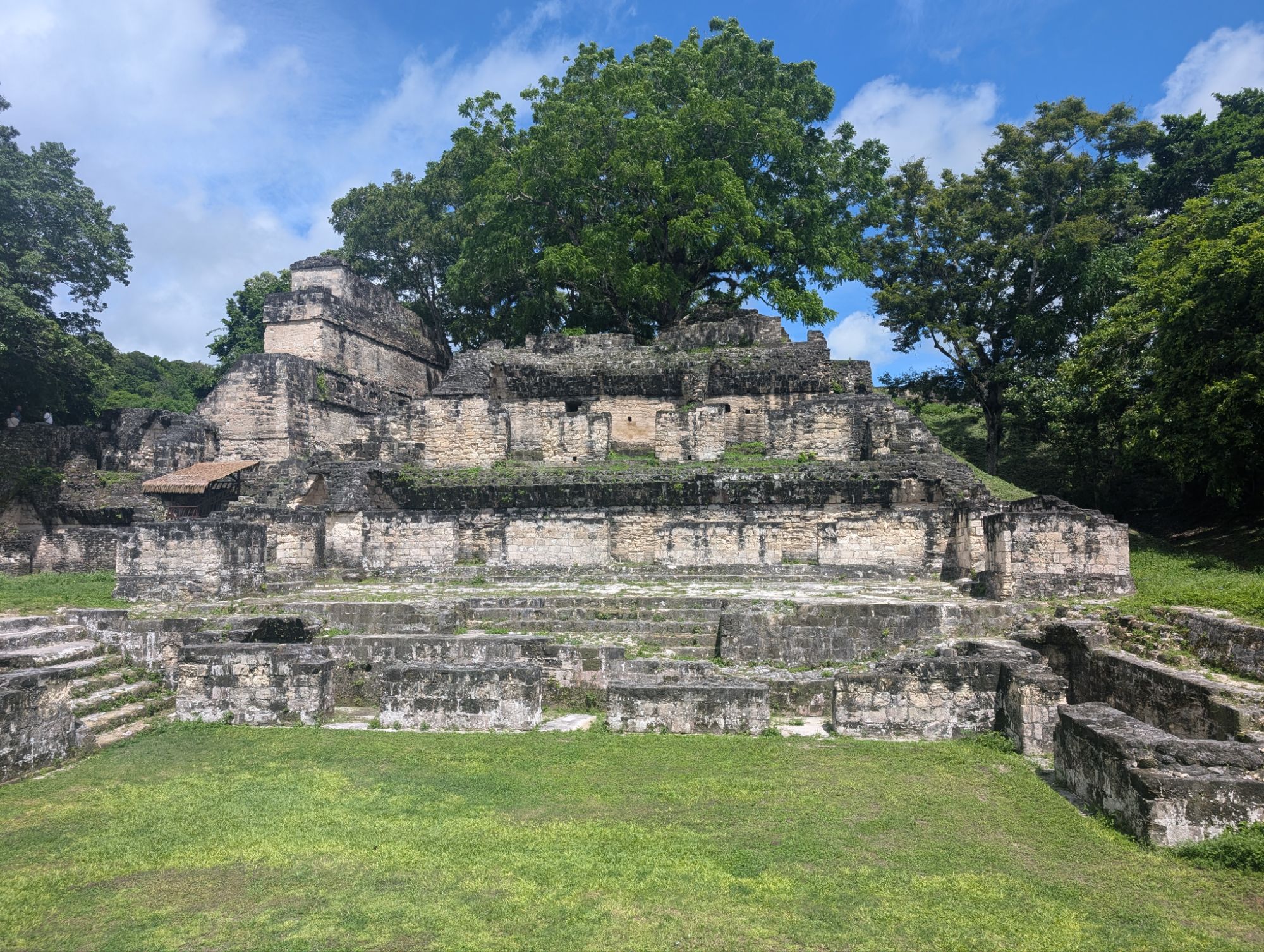
Ball courts were used for entertainment, competition between rival cities, and to settle disputes. Often these ended in sacrifice, and not always the losers.
The West Ball Court
Millipedes
Along the East Ball Court.
Certainly the Egyptian pyramid construction started one to two thousand years earlier than the other areas of the world but modern pyramids building in Egypt is roughly the same age as other pyramid construction. Obviously, these constructions show the development of those civilizations at that time.
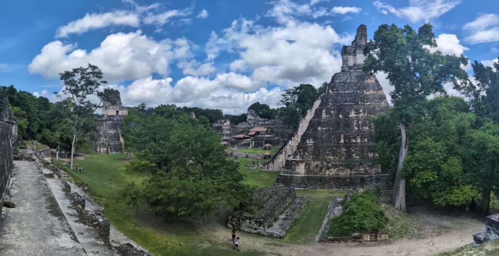
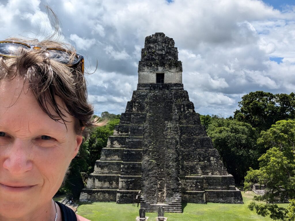
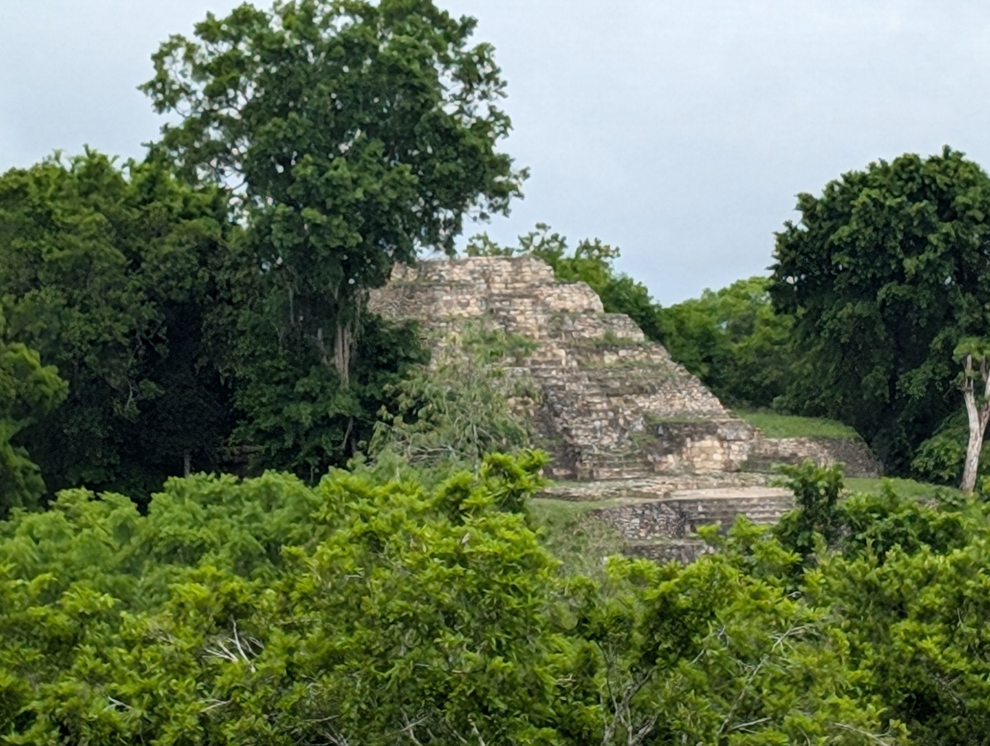
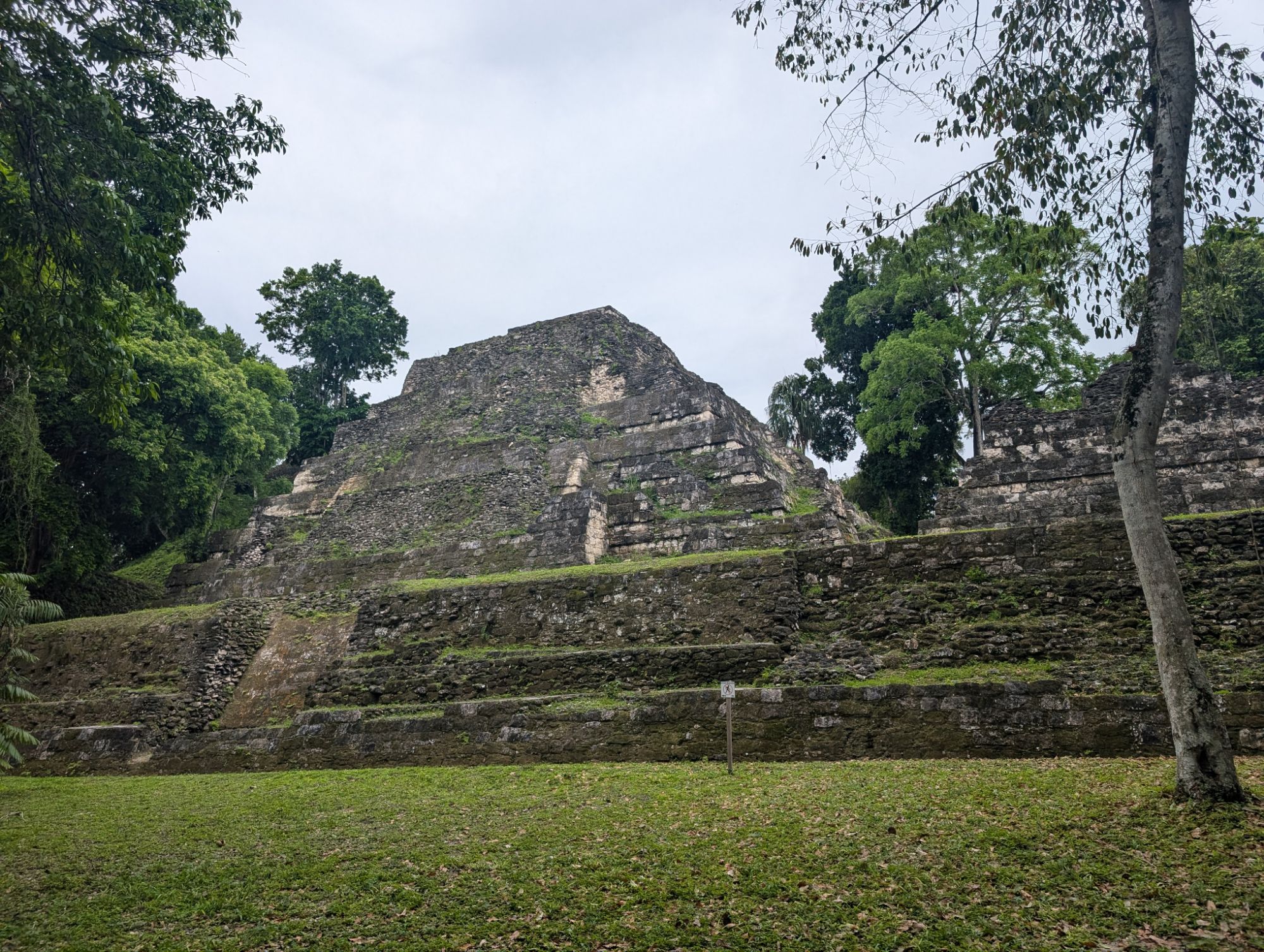
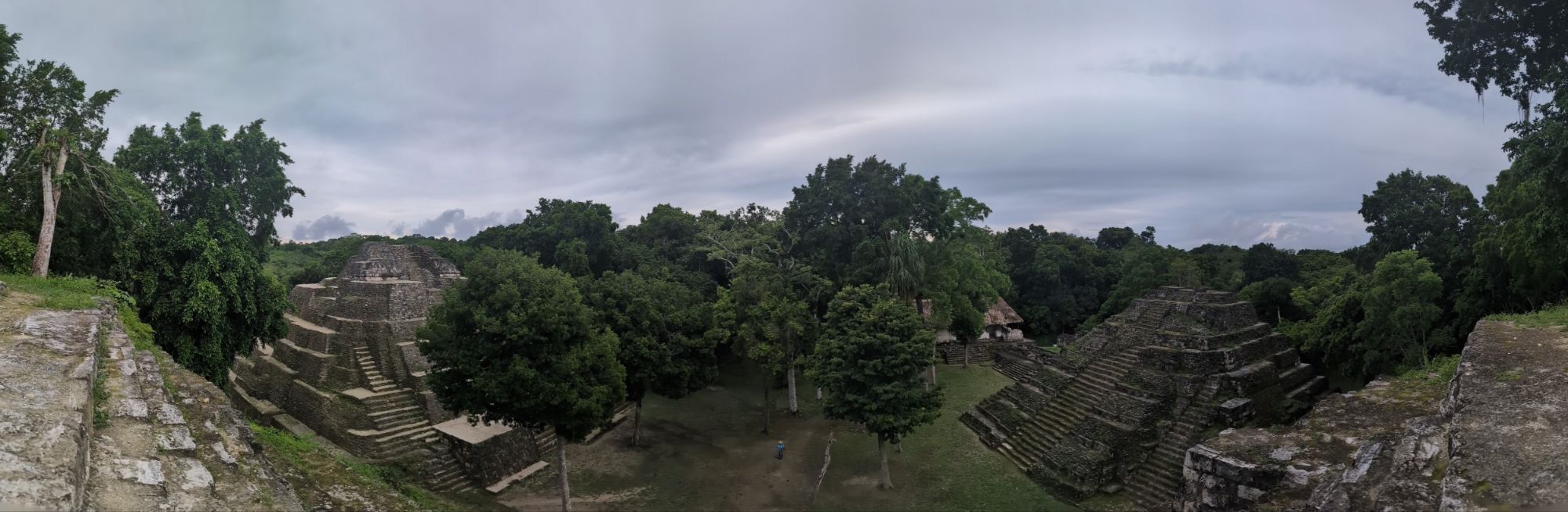
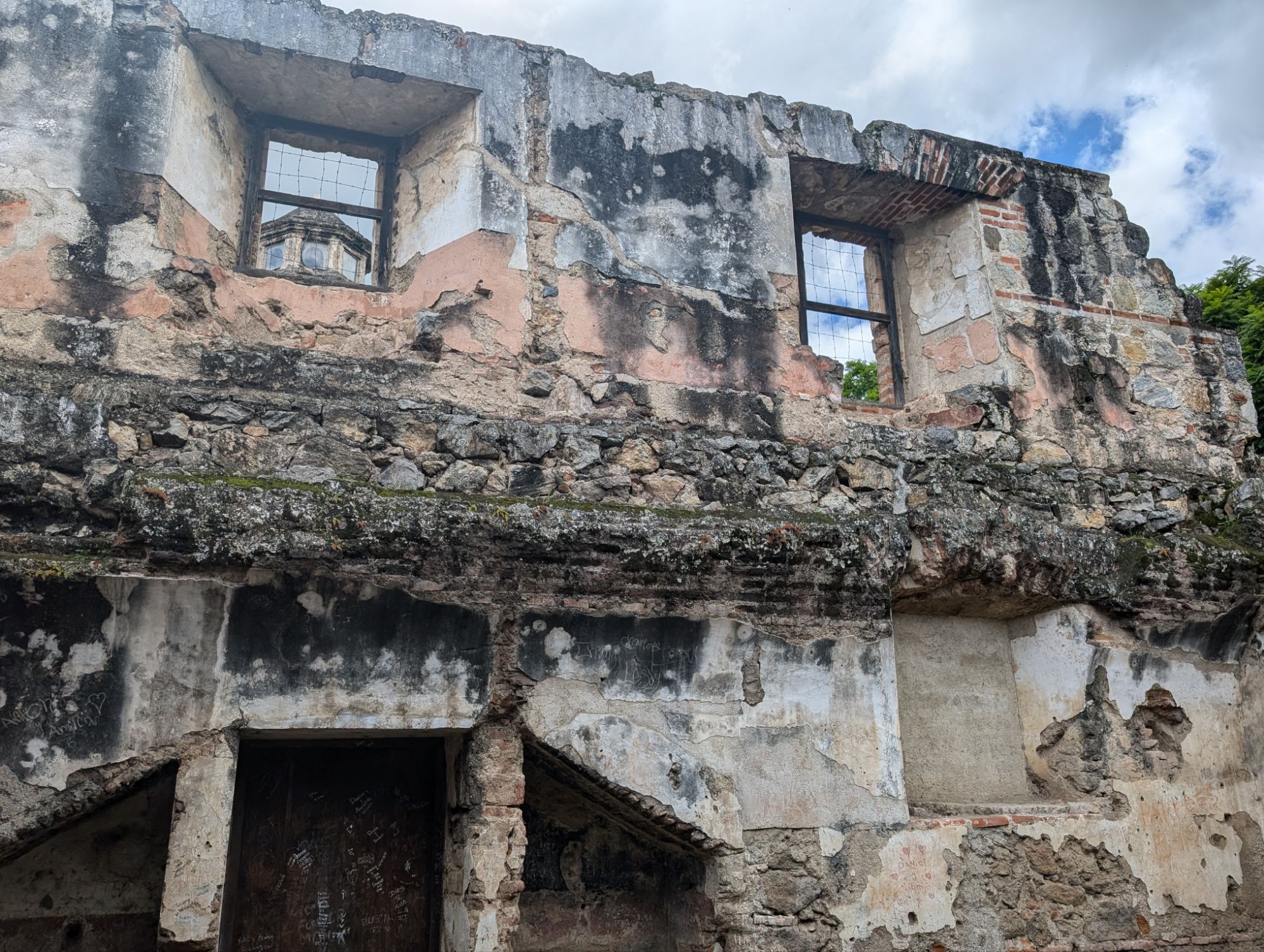
Tikal was one of the most powerful city-states in the ancient Maya civilization dating from 2000 BC to 950 AD. It was a major cultural, political, and military center doing trading and administering to other Mayan cities. Tikal means everyday or common people.
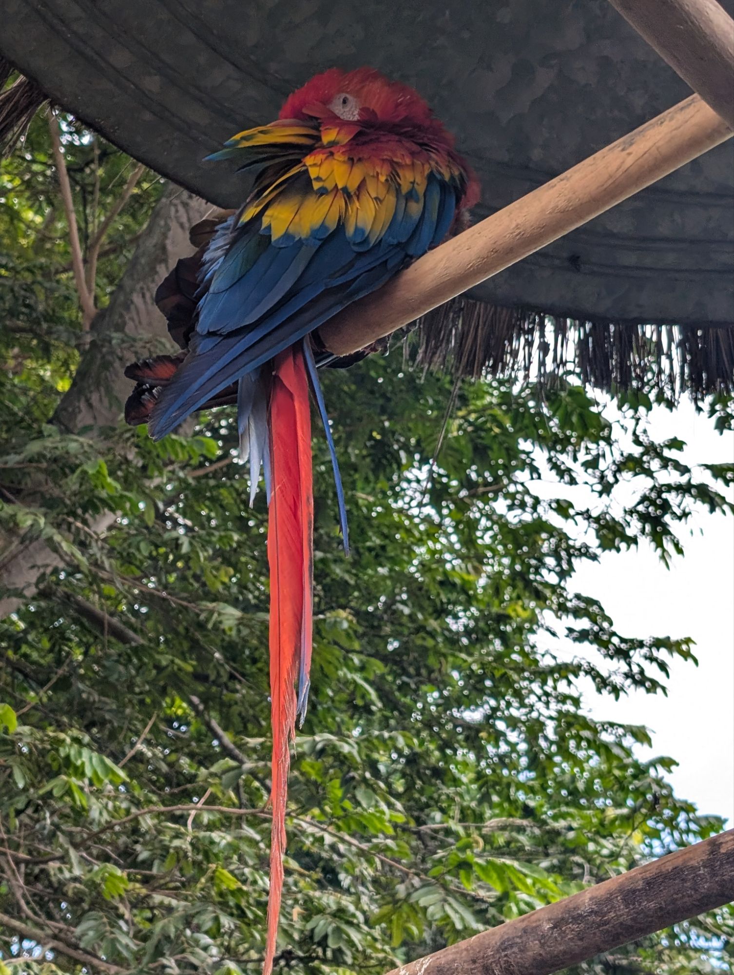
While we were walking through the site, we saw howler and spider monkeys, birds, and an agouti (like a raccoon).
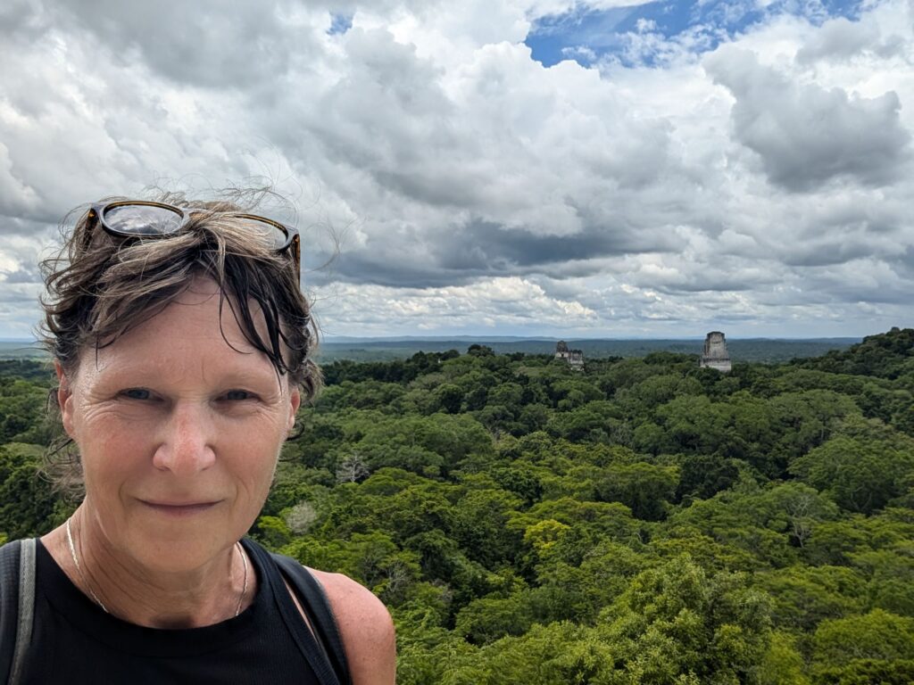
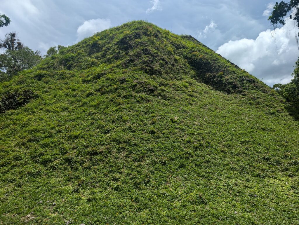
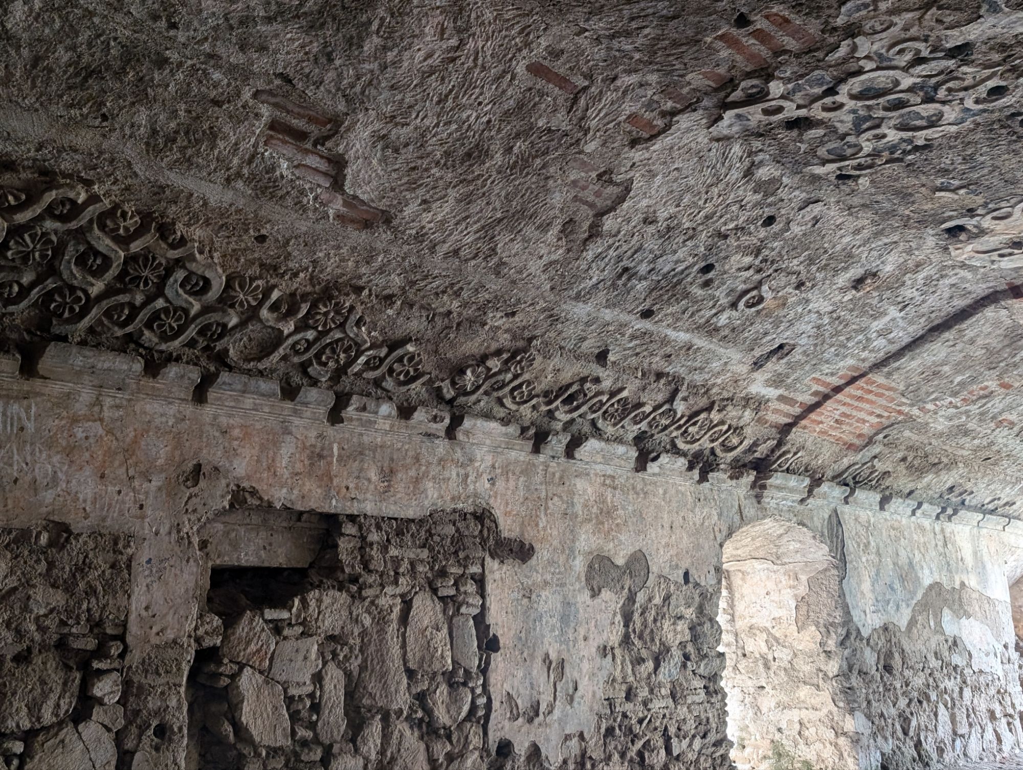
The architecture here is amazing and the site includes pyramids, temples, palaces, and a grand plaza. Everything is symmetrical despite not having advanced tools. Only 20% of the site has been excavated since 1955. It also was first explored in the late 1800’s and officially in 1904.
Back of Temple 1
Blocks were hand cut in quarries and then carried as far as 25 km by hand. No domesticated animals were used for this. They also did not use slaves as too many workers were required. It is thought that everyday people completed the work. There is evidence of early cement being used in construction which has stood the test is time.
Residences here were for high class people which could contain 152 bedrooms and 25 courtyards.
This is actually a need that would be covered by ticking.View from the top of one section.The wood above the door is from the local tree that has sap that was used as early chewing gum. It is a very hard wood. Adams chewing gum was the inspiration from the chewing gum from sap here. That piece of wood is 1300 years old.
There are two temples here. Temple 2 is on the left, government offices would be in the middle, and Temple 1 is on the right. They are in a line from North to South.
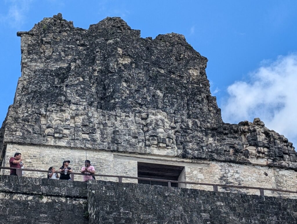
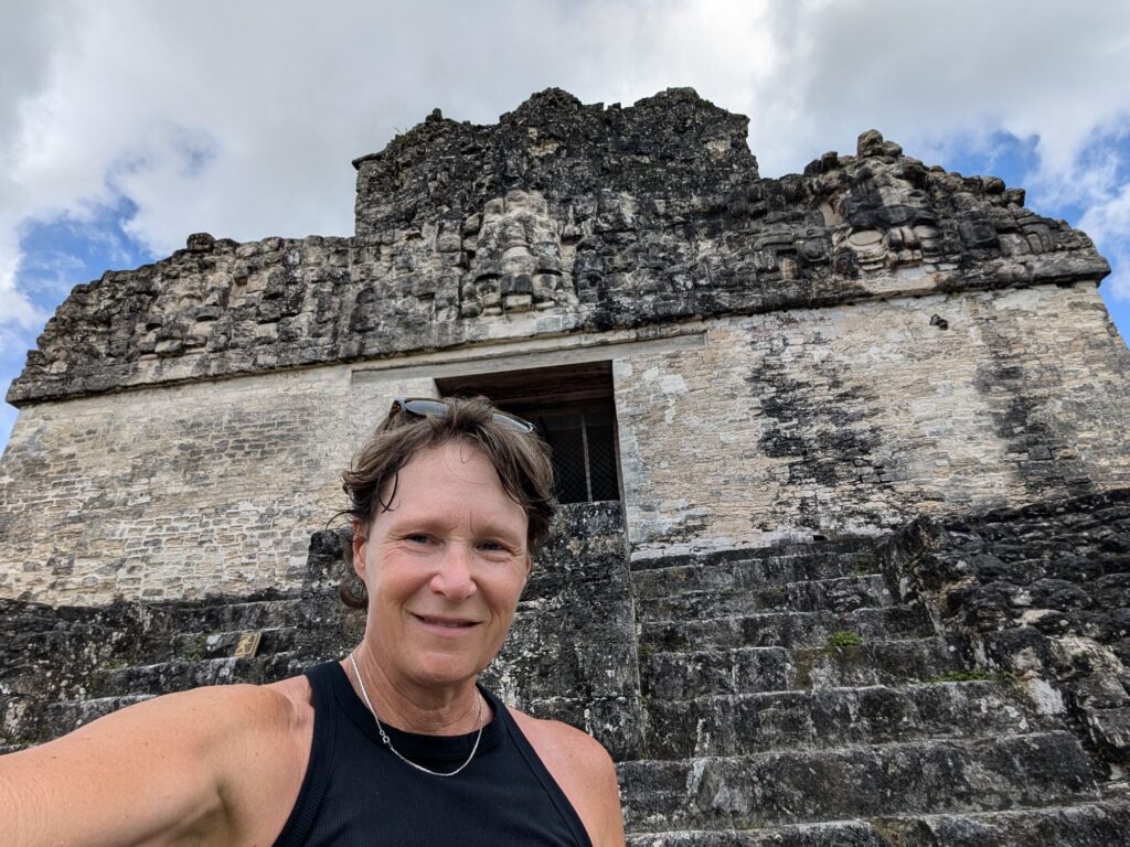
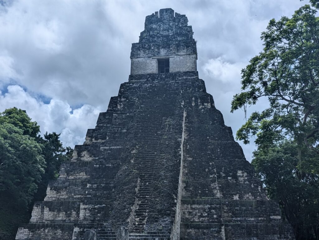
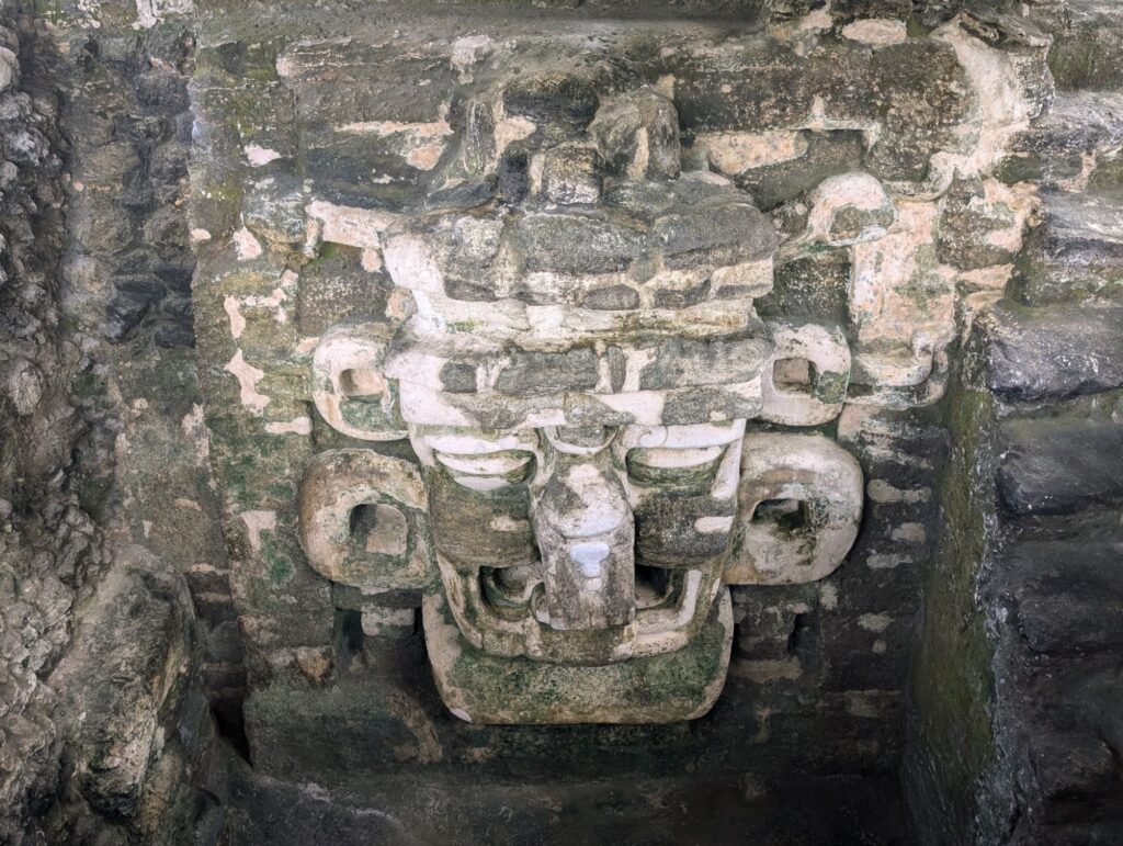
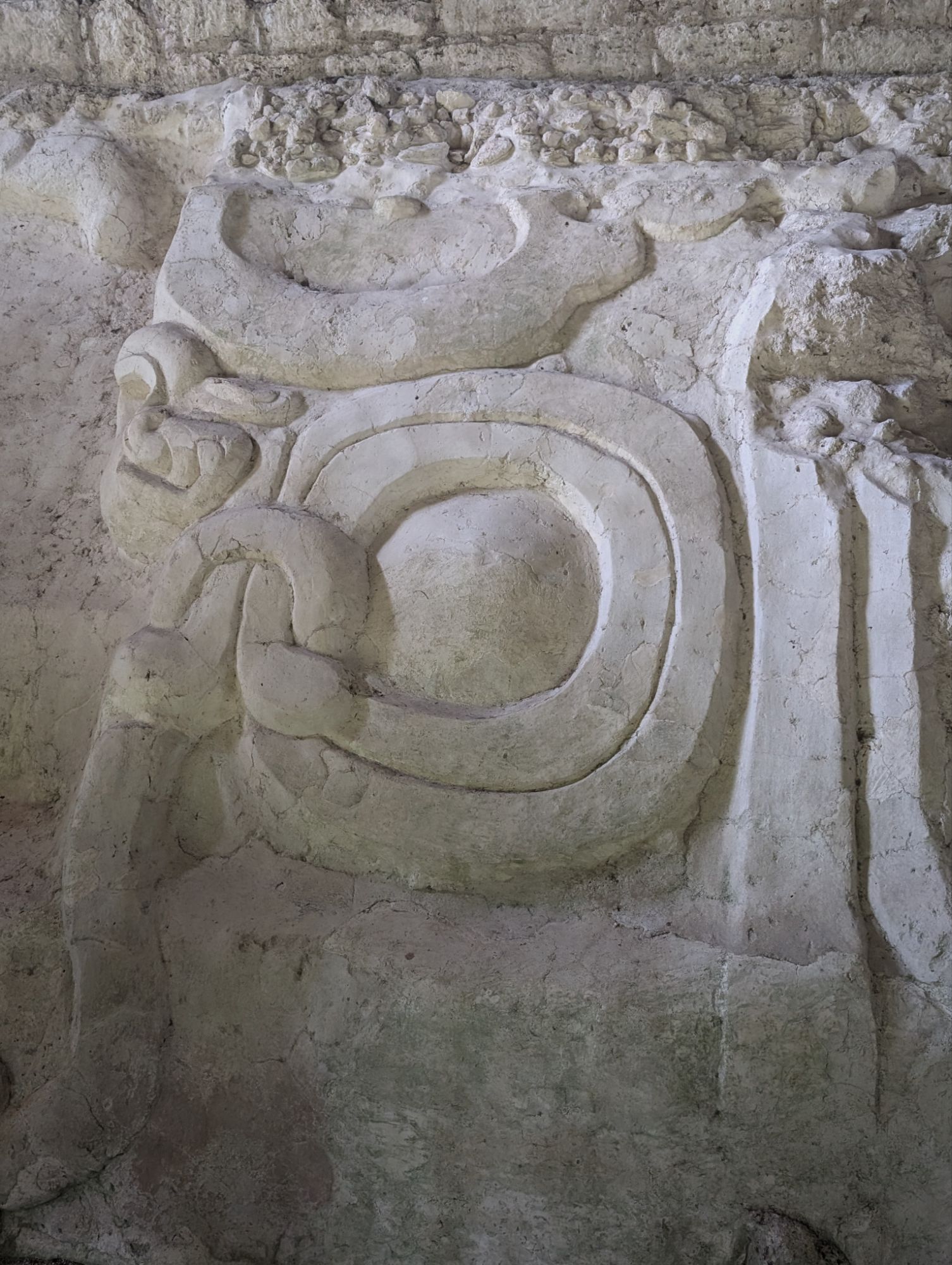
Temple 2 is known as the temple of masks. The carvings show masks.Carvings are aboveTemple 1 actually had a burial site found by tunneling underneath. There are 9 levels of the pyramid which correspond to the 9 levels you descend to the Mayan underworld when you die before going upwards 13 towards heaven.
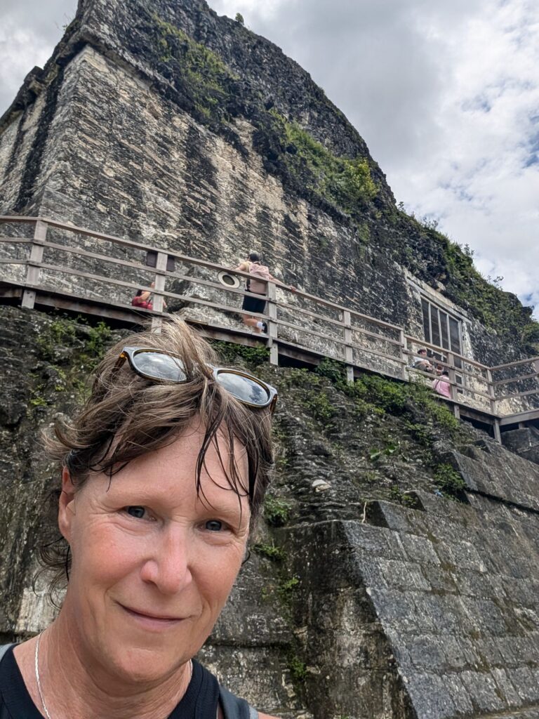
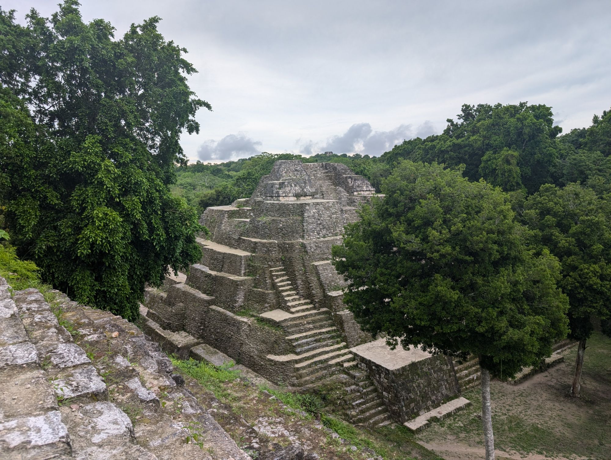
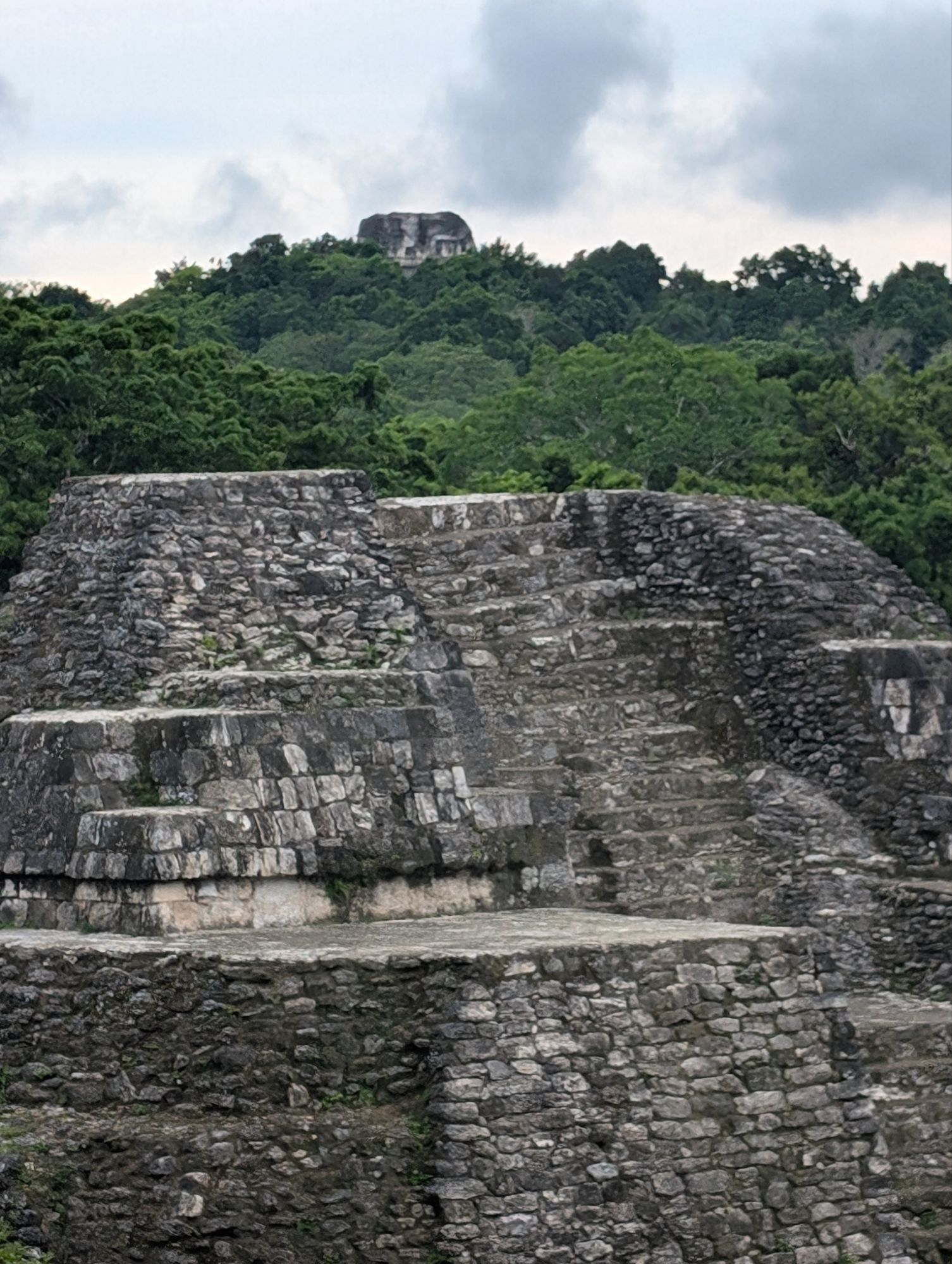
The astronomical pyramids are flat on top and offer a 360 degree view. Maybe stairs to climb to get to the top!
Pyramid 4 was the last we visited and was built by the son of the ruler that built 1 and 2. Each ruler had to have a bigger Temple than the ones before.
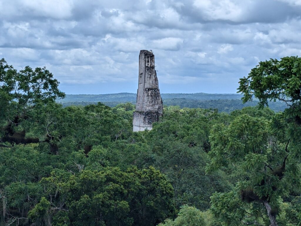
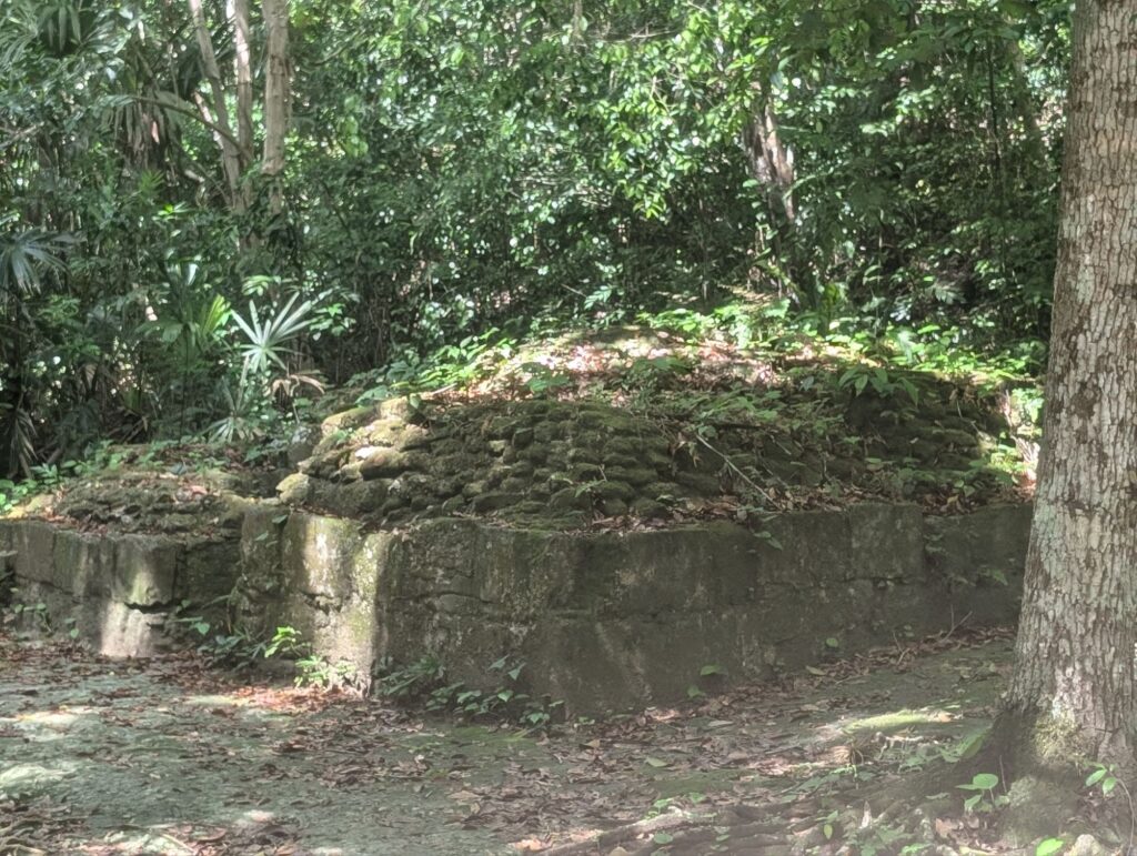
As we passed by the second of the twin astronomical pyramids, this one has not been uncovered on one side, but you can see the structures on the other.
Uncovered sideStill covered side
Cisterns were used to capture and divert water when the original sources dried up. Below the modern cement is the earlier mayan cement that had been broken up by tree roots.
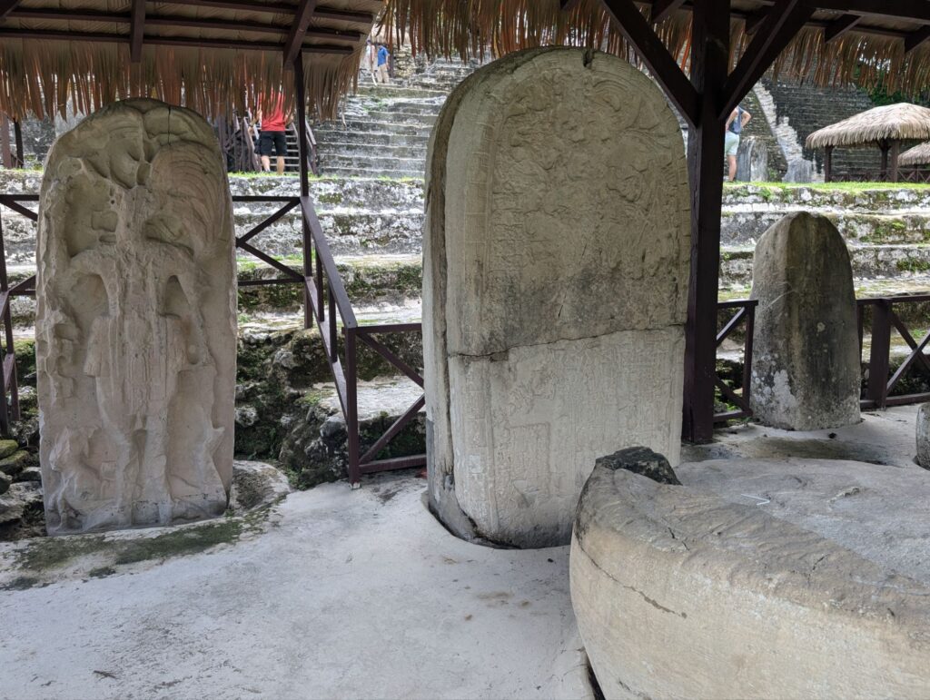
The site features numerous stelae and altars depicting rulers portraits and their stories. Information found in Tikal and descendent stories help to understand the Mayan civilization.
Other structures
Early steam bathEarly mask This is Temple 3 that is still visible at the top and will be excavated in the future. It is the tallest of the pyramids.
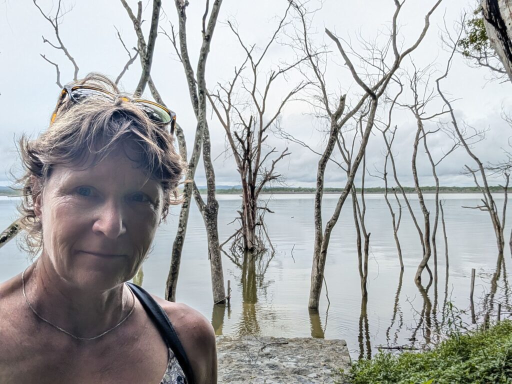
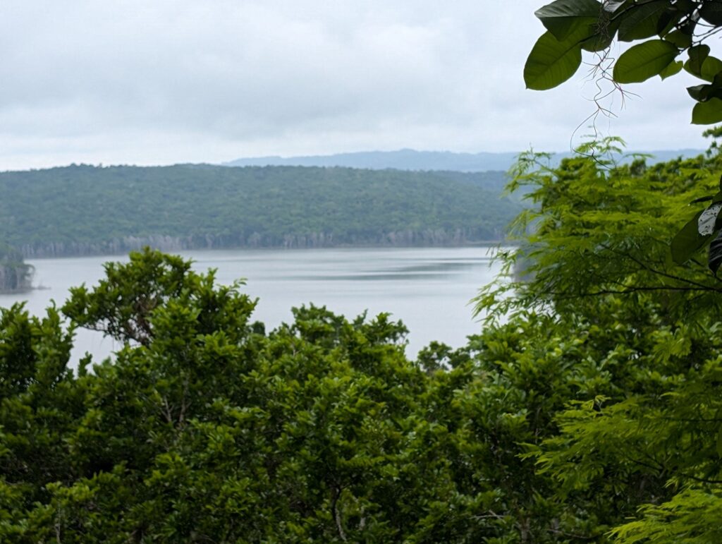
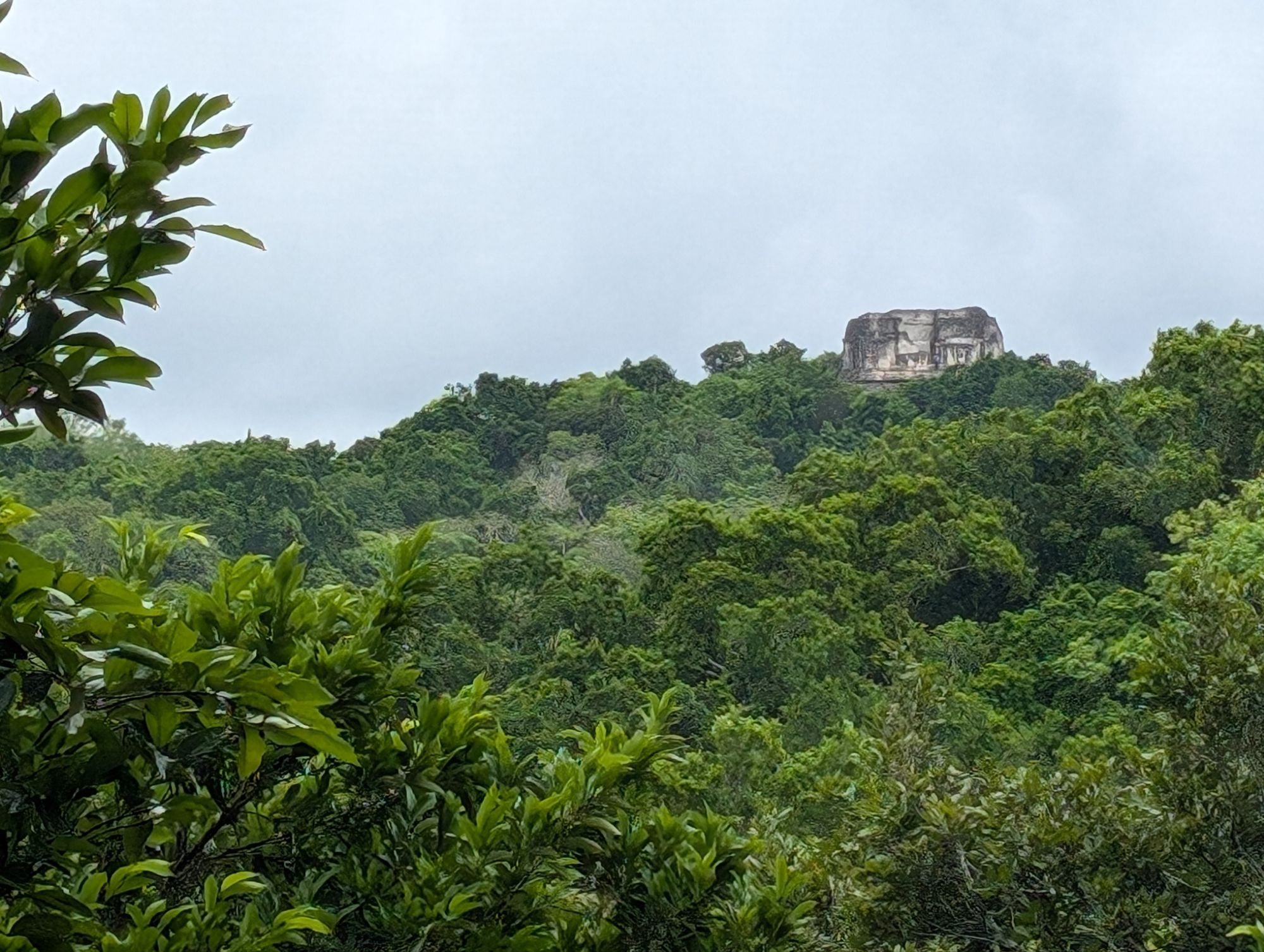
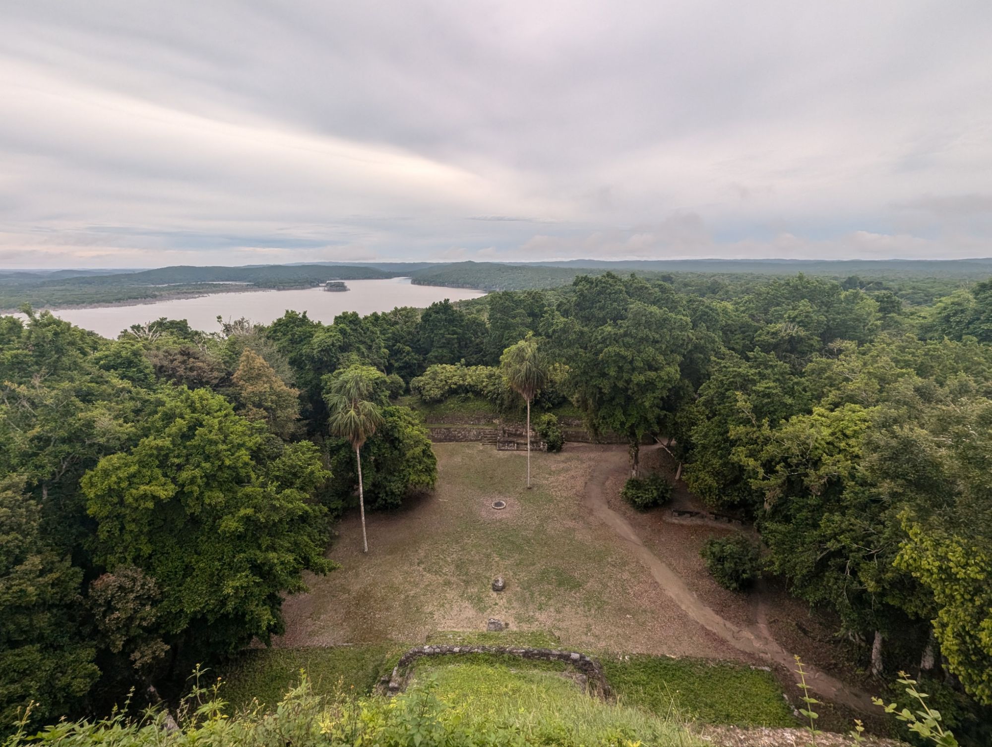
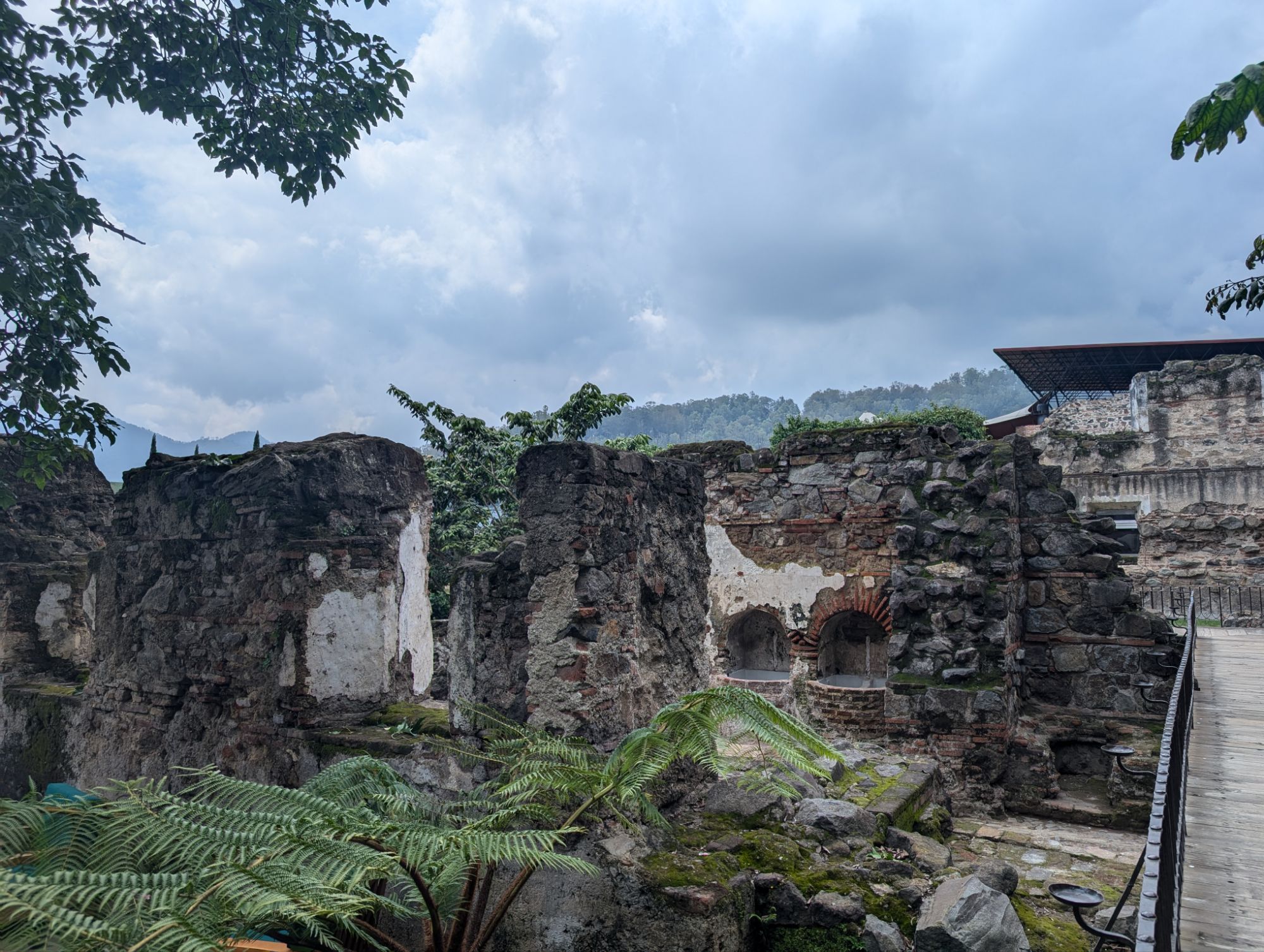
Yaxhá is a name derived from the Maya language and means “blue-green water” or “turquoise water.” Lake Yaxhá was an important resource for the city though there are many crocodiles there. It is not the largest Mayan site and is very peaceful to walk around in.
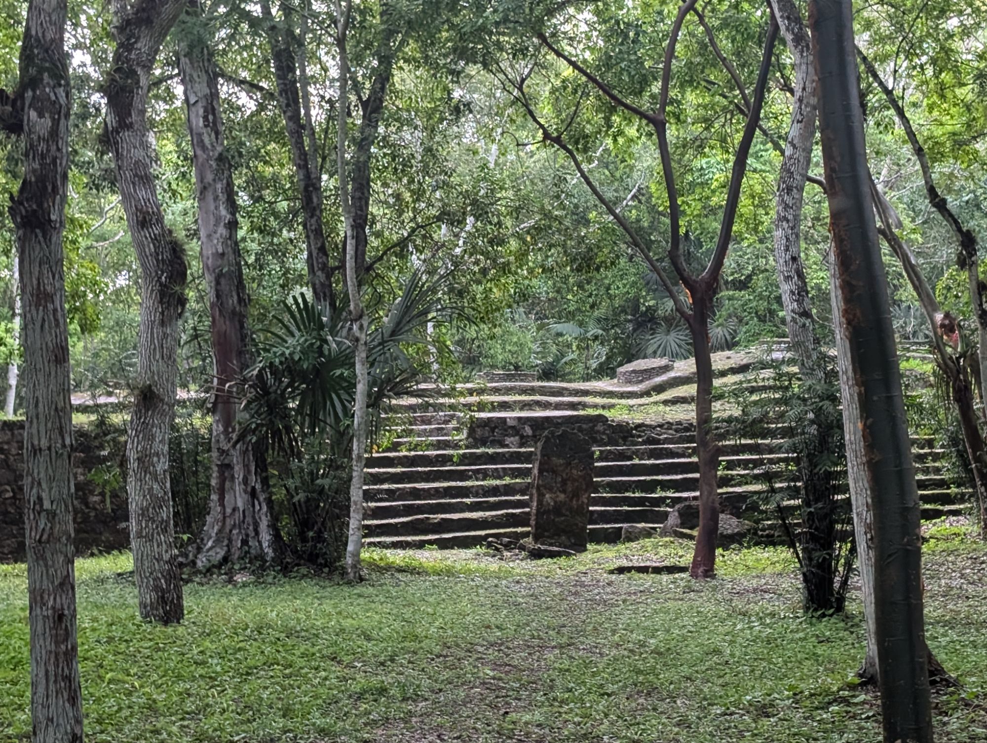
The architectural style of the Yaxha people included the double pyramid construction. It was built in 600 BC teaching its peak in the 8th century with around 500 structures. It was discovered by the explorer Maler in 1904.
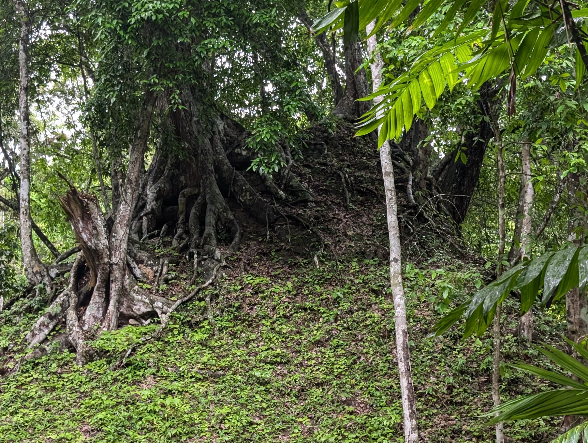
It felt a lot like being an explorer as well. Many of the structures are still underground and only a few are uncovered. The howler monkeys were really loud and seemed to follow us on our exploration.
Another structure under the grown jungle
Yaxha is laid out so that the temples and other structures are used strategically for solstices and equinoxes.
Ceremonial plazaViewing stands in front of the palace.This center area was where competition in a game using a ball was played. Many of the games could be for social, religious, or political reasons, often ending in sacrifice.The pyramid of sacrifice is just across the game area. South acropolisJaguar statueA structure used for astronomy
We climbed the stairs alongside one of the peanuts to get a look at the complex and the tallest pyramid we will be going to.
Lake YaxhaPyramid 216, the tallest where you can see the sunset on a good day
This structure was a residence of someone important like a shaman.
We climbed one of the pyramids directly. I learned not to go straight up in a line but to zig zag as you go up. It helps especially if you have big feet.
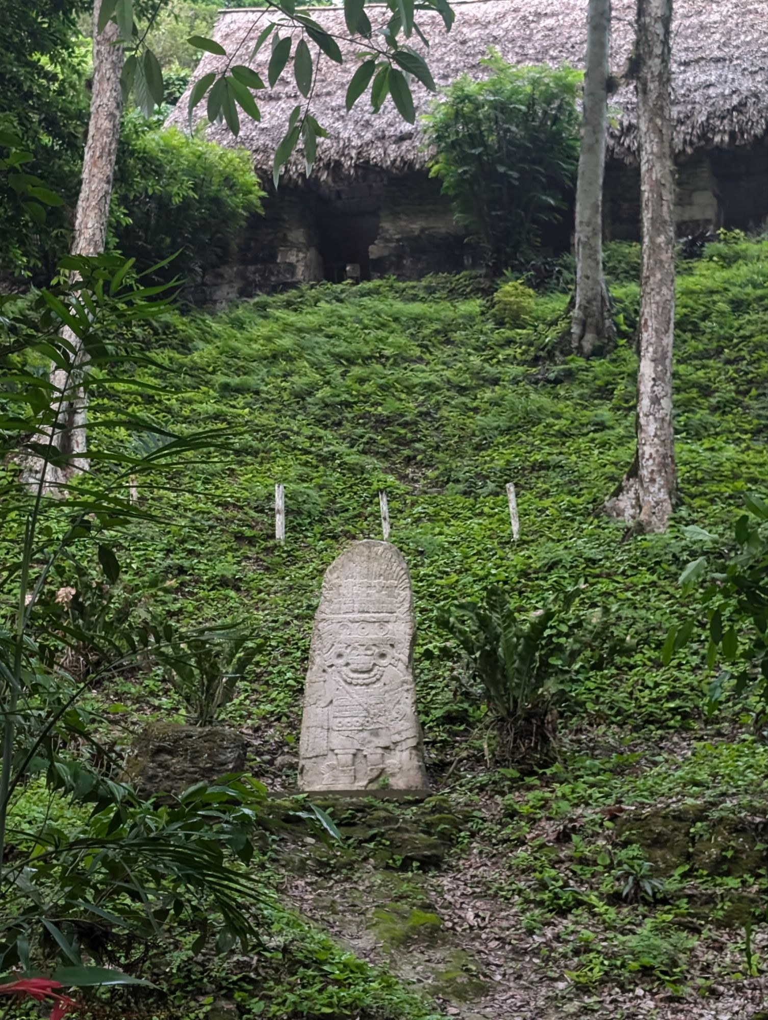
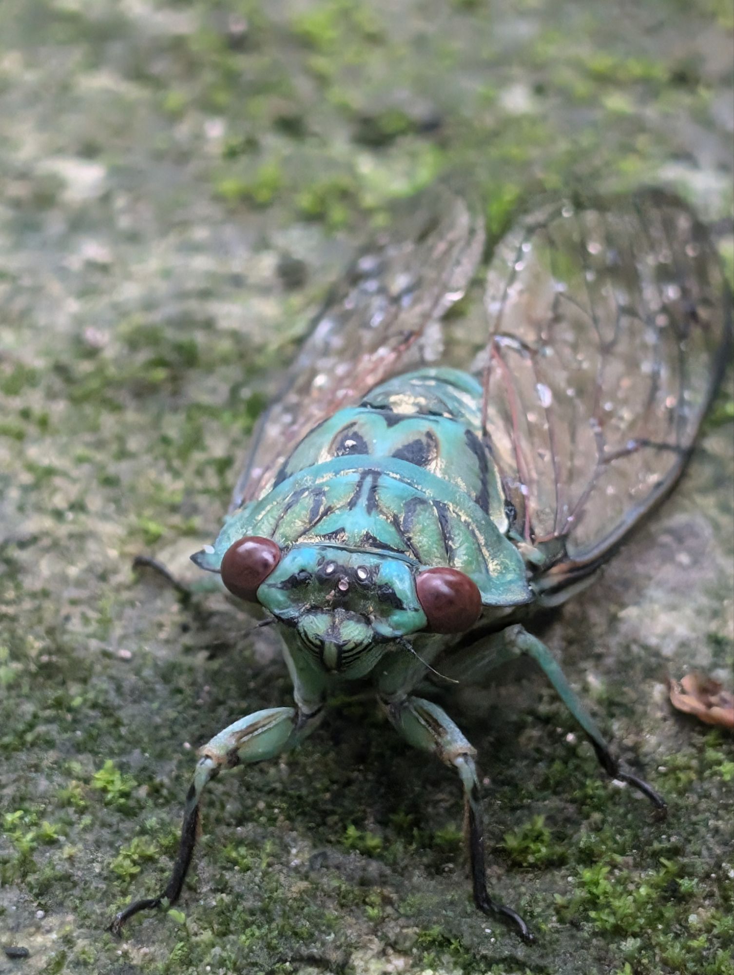
Aztec symbol An original stela that tells a story.The reproduction of the stela We climbed stairs alongside pyramid 216.Beautiful view but no view of the sunset today. Clouds were moving in again.A cicada
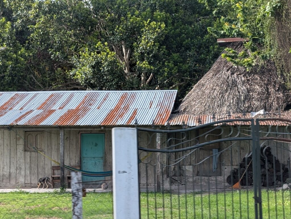
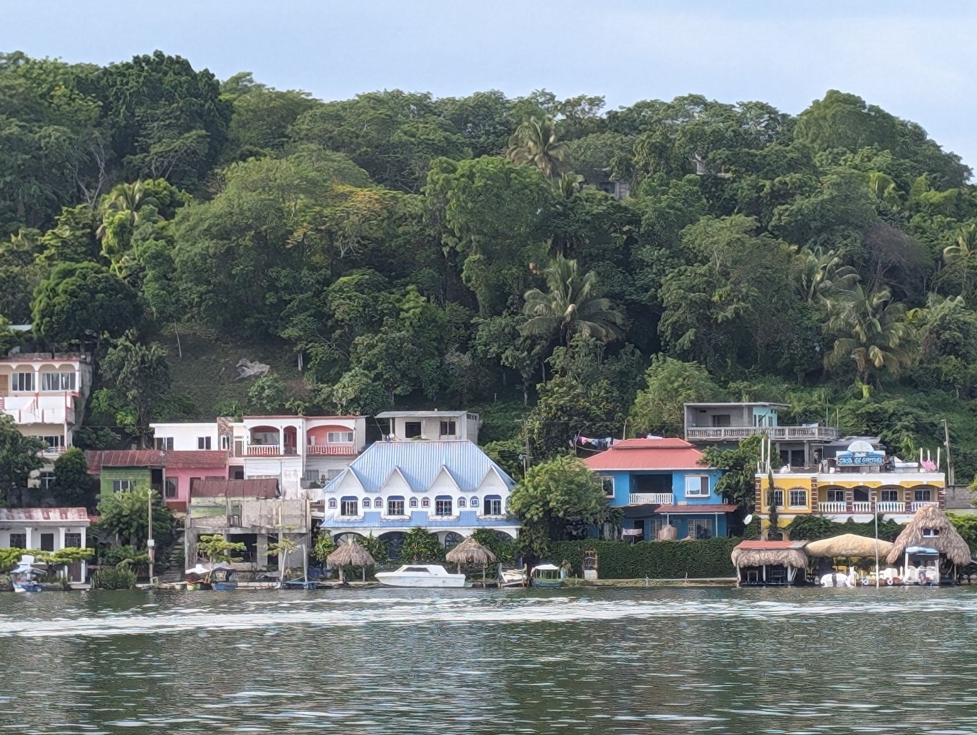
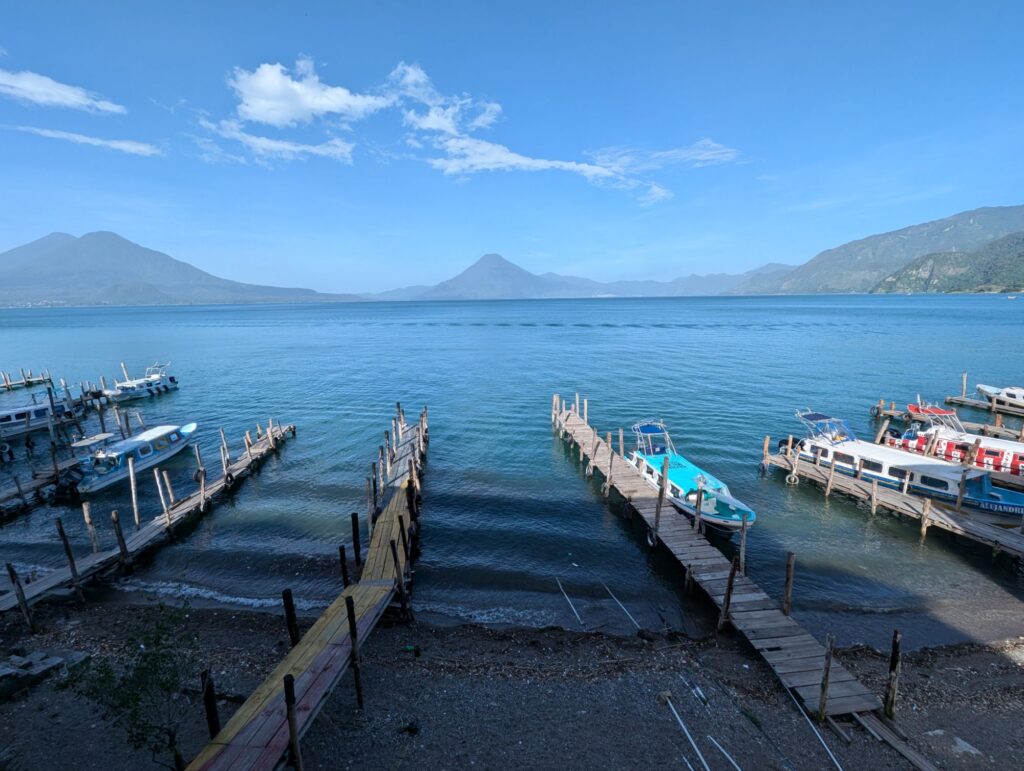
After having to go find another way to get to Belize (and my reservation in San Ignacio), I found a shared van for $40 through Gekko explorers. It was a long 12 hour ride in a van with a very eclectic group of foreigners. We stopped three times and had plenty of villages to see from the windows when we were not asleep. We were headed to Flores in the Petén region of Guatemala.
The region was inhabited by the Maya civilization in 1000 BCE. The largest of the Mayan cities were Tikal, Uaxactun, and Yaxha. Two of these ruins are tours I am taking. Around the 9th century, many of the population of the Mayan cities were in decline due to many factors such as overpopulation and warfare.
The Maya in Petén resisted Spanish conquest longer than many other regions. The Itza Maya (near modern-day Flores), remained independent until 1697, when Spanish forces finally conquered them. They became part of New Spain and then part of Guatemala after independence.
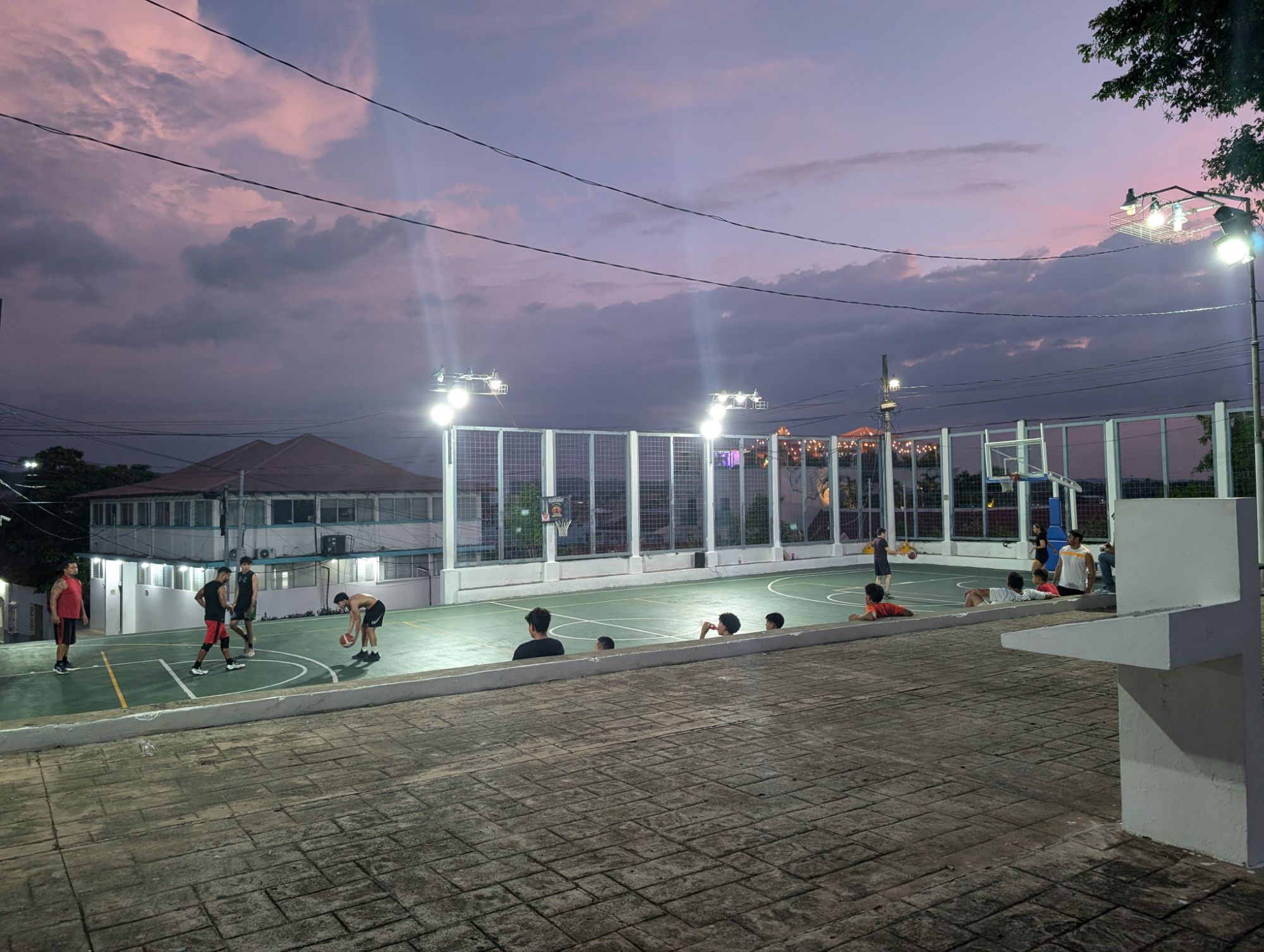
At the top of the center hill are basketball and other courts for people to gather.
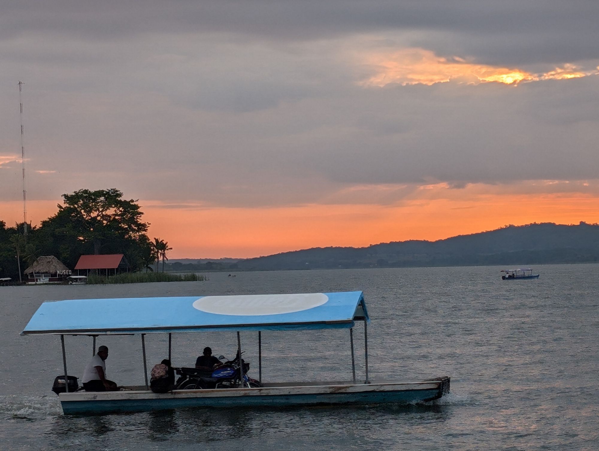
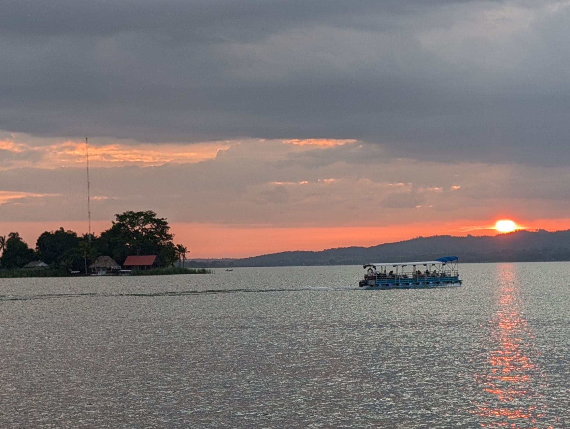
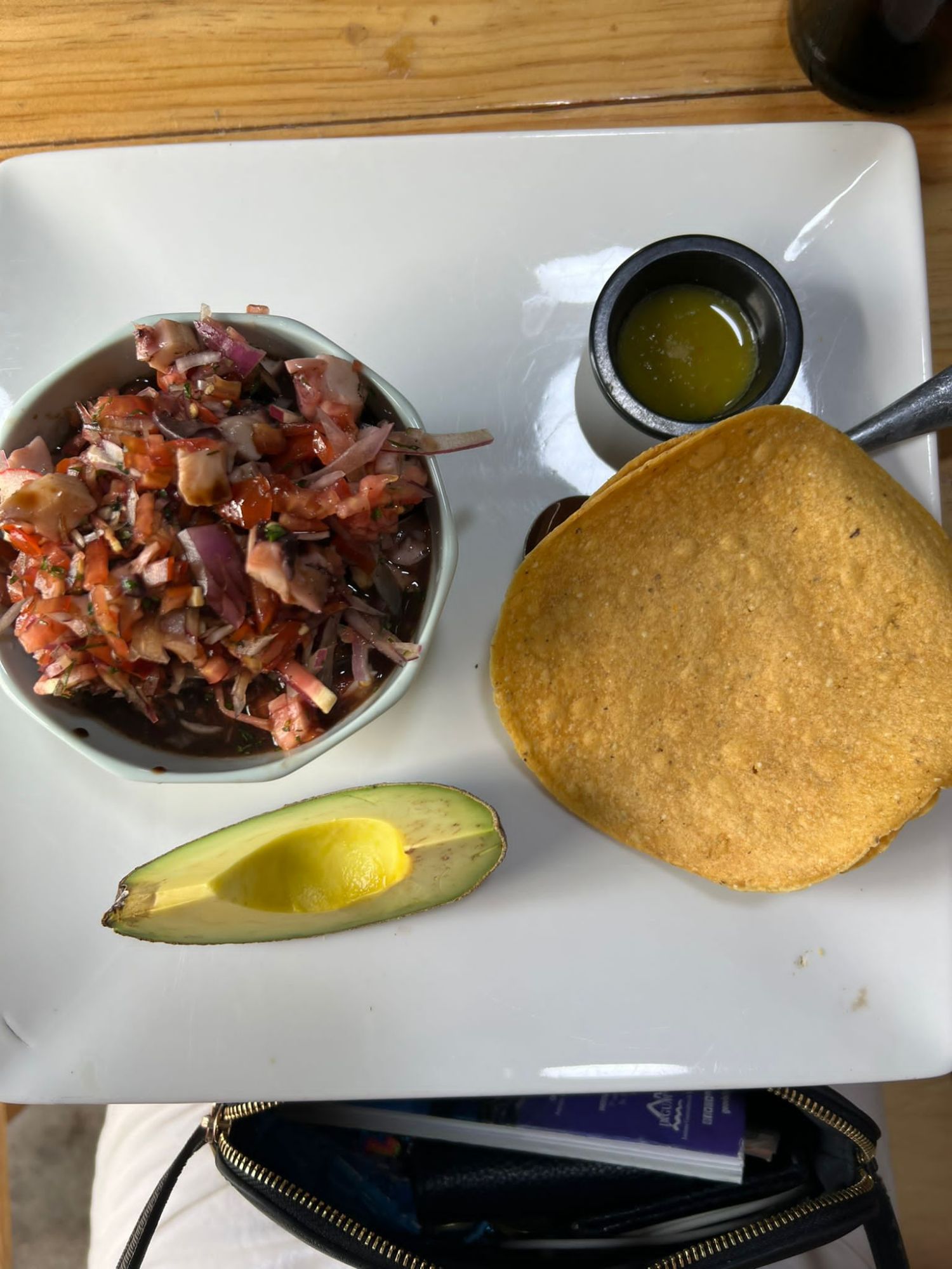
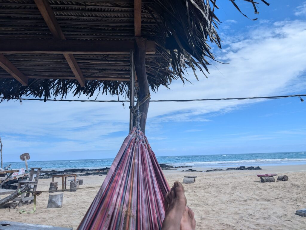
I found the restaurant, Nativo, which has a great menu I ordered their aguachile with fish and two tamarind margaritas. Delicious and a great place to watch the sunset.
The indigenous history of Antigua primarily involves the Siboney and Arawak peoples, who inhabited the area long before European contact. The Arawaks used farming technique and also pottery in everyday life. These cultures were distinct from the Aztecs and developed their own unique societies and ways of life.
Salt cooking jar, 1000 BCEJaguar column,1000 BCEJaguar
Pre colonial era
In the early 17th century, Spanish influence was bright to this region when present day Guatemala became part of New Spain brought in the present colonial architecture.
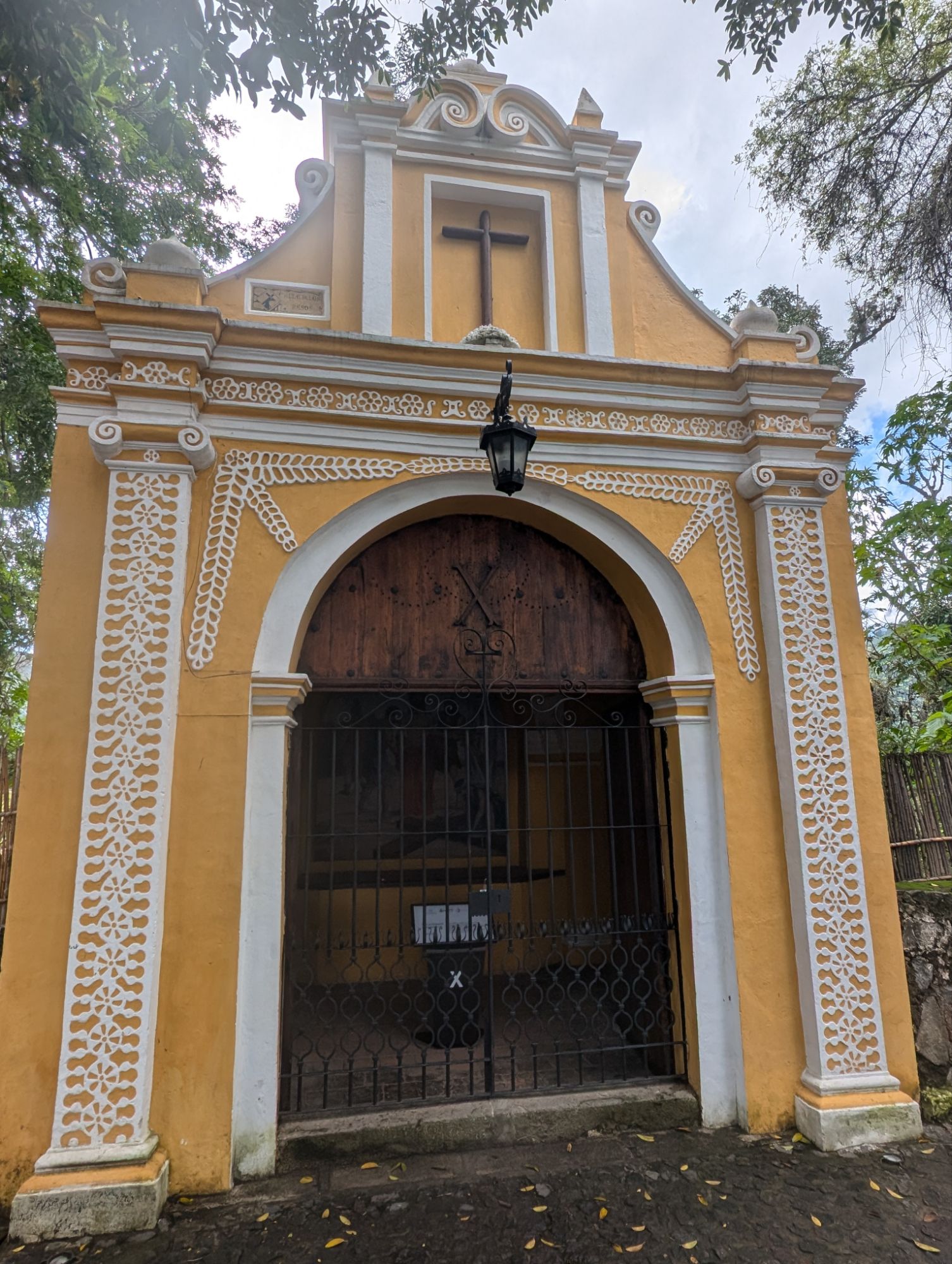
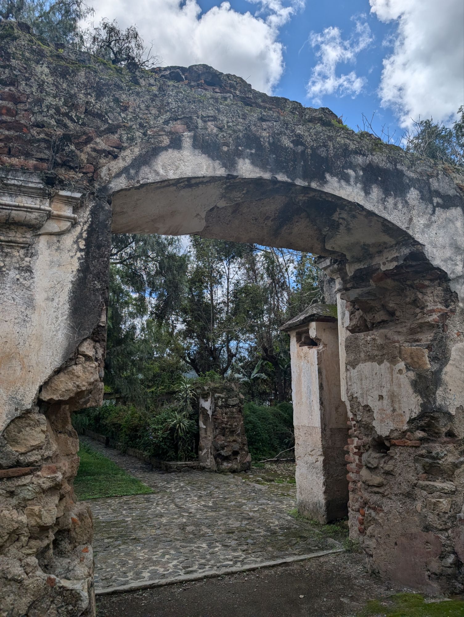
The arch
The arch is known as the “Santa Catalina Arch” (Arco de Santa Catalina). It was built in the 17th century and served as a passageway for nuns to cross between the convent and the school without having to go out on the street.
These steps are what remains of the original steps that the nuns used.
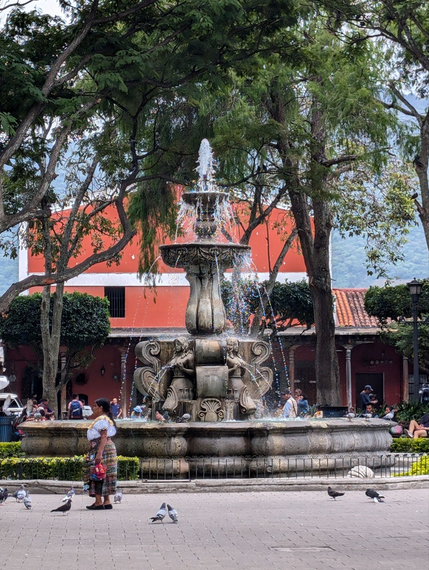
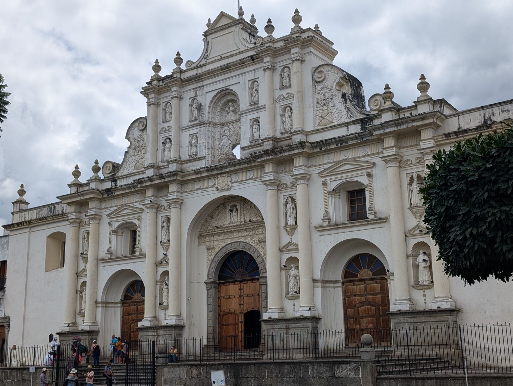
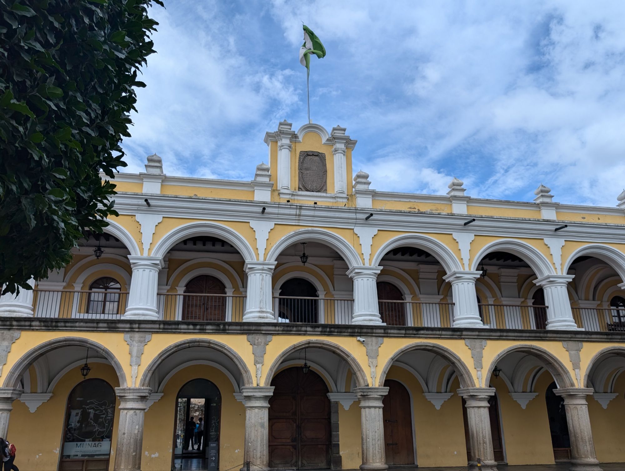
The center of colonial cities have a plaza surrounded by a church, government buildings, and the central commerce area.
In the colonial period the arches were made wide and short due to the consistent earthquakes that cause damage.
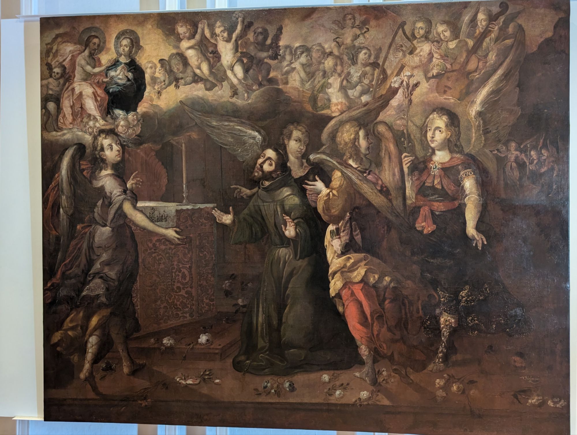
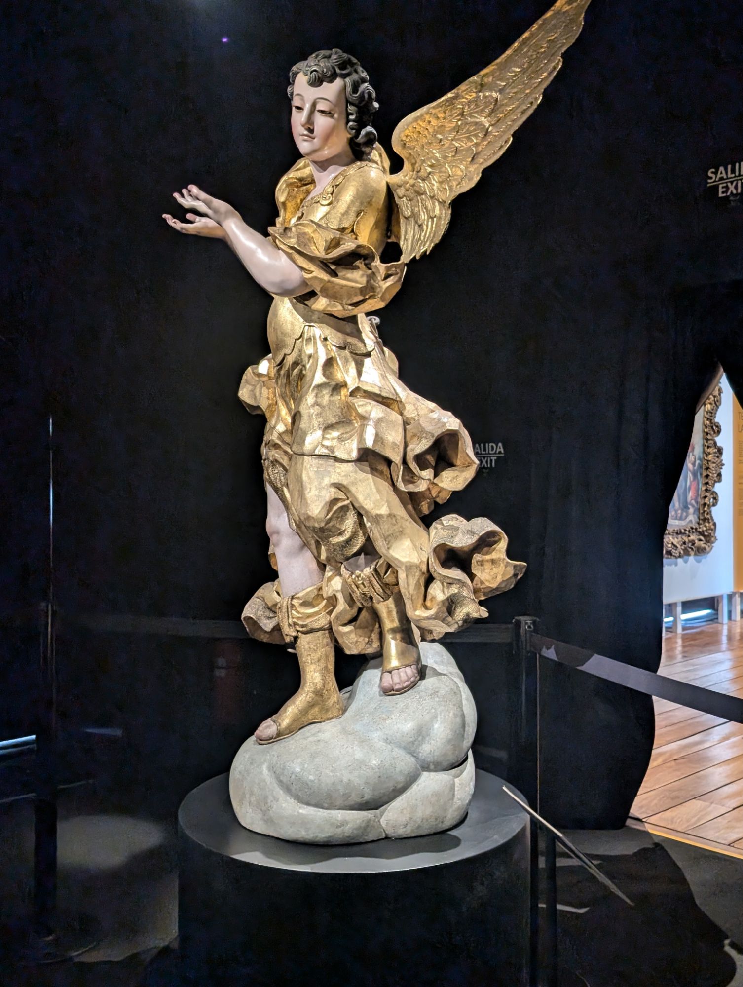
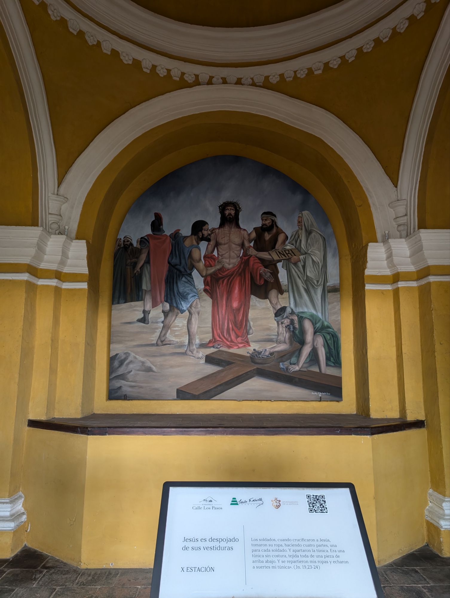
The art that depicts the colonial period….
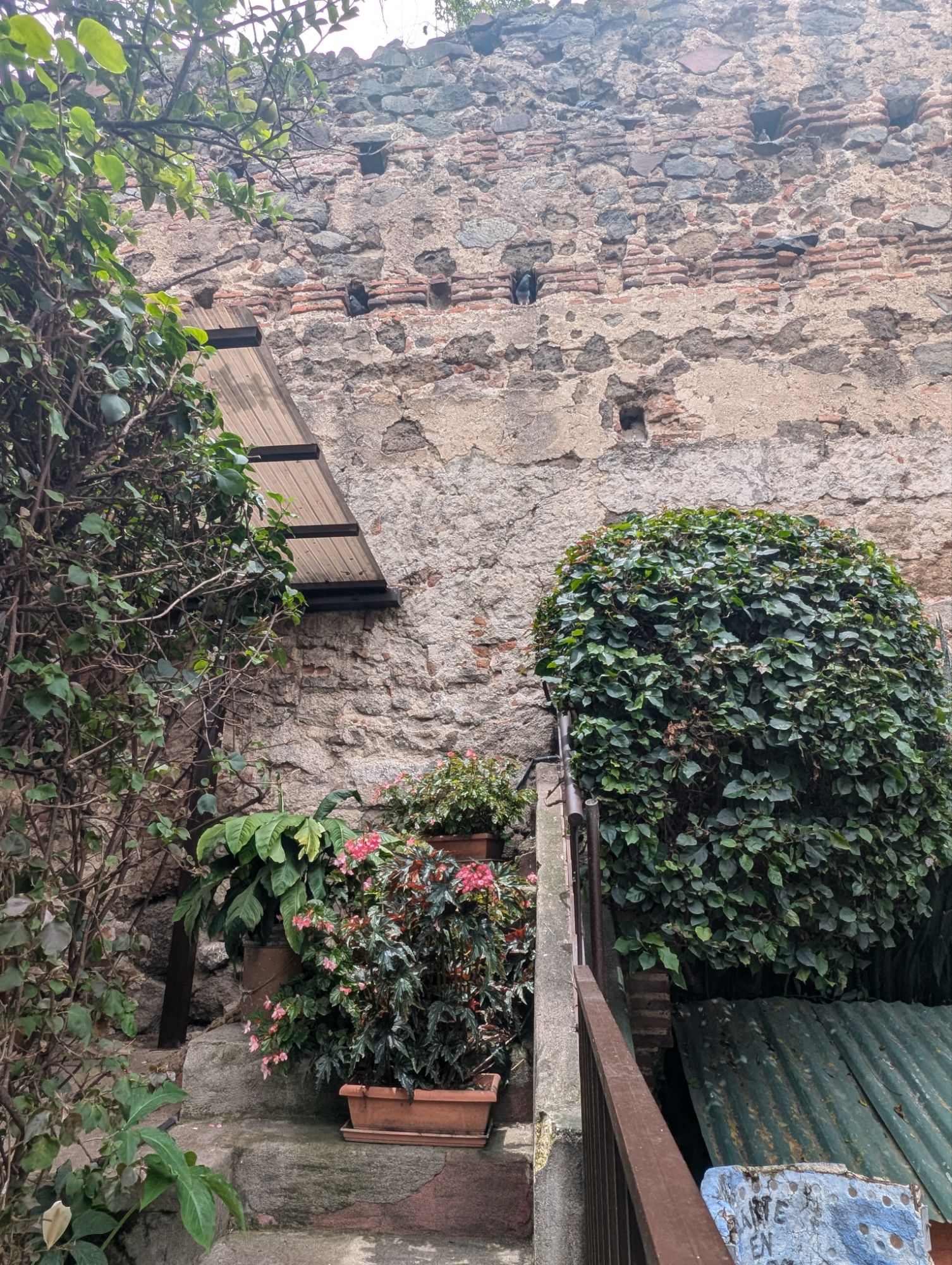
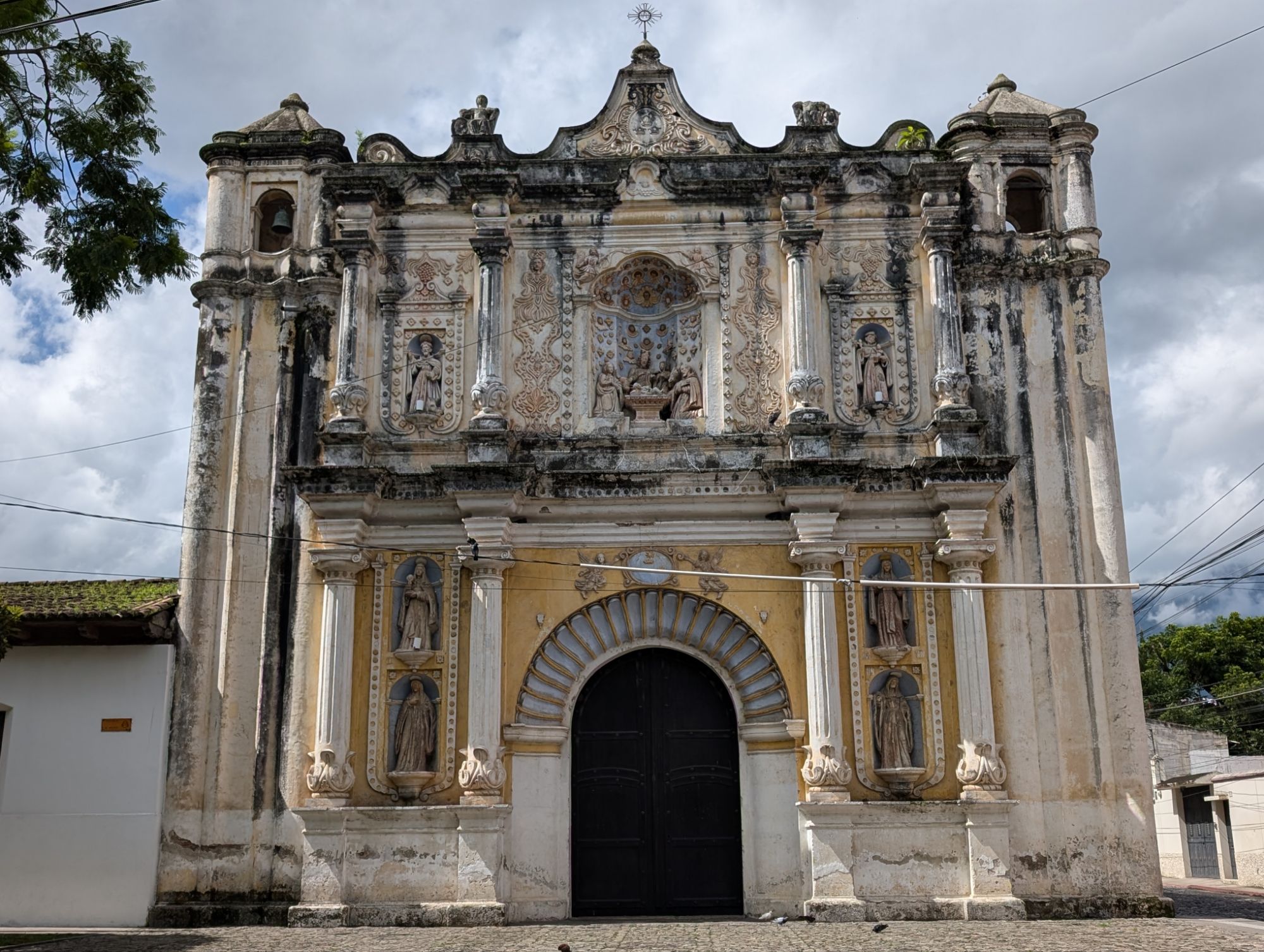
Churches and convents were central to education and taking care of others. Many are in ruins but the ruins still remain as part of other structures like hotels.
Churches and other buildings
Guatemala gained independence from Spain on September 15, 1821.
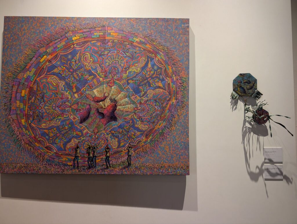
Modern art
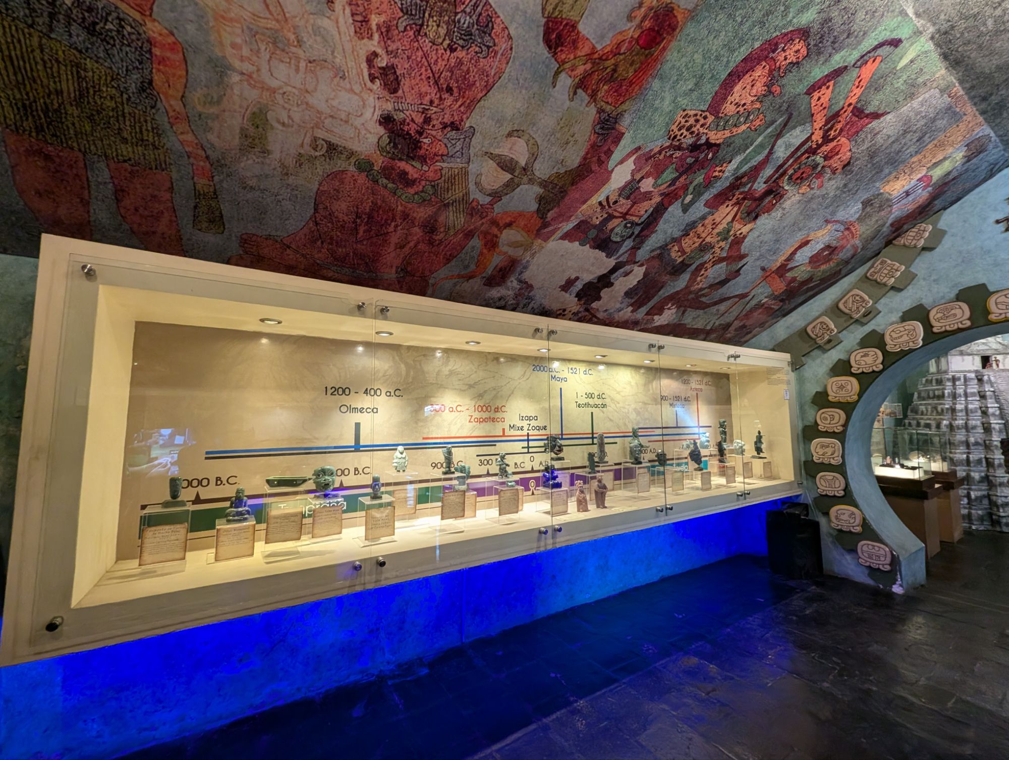
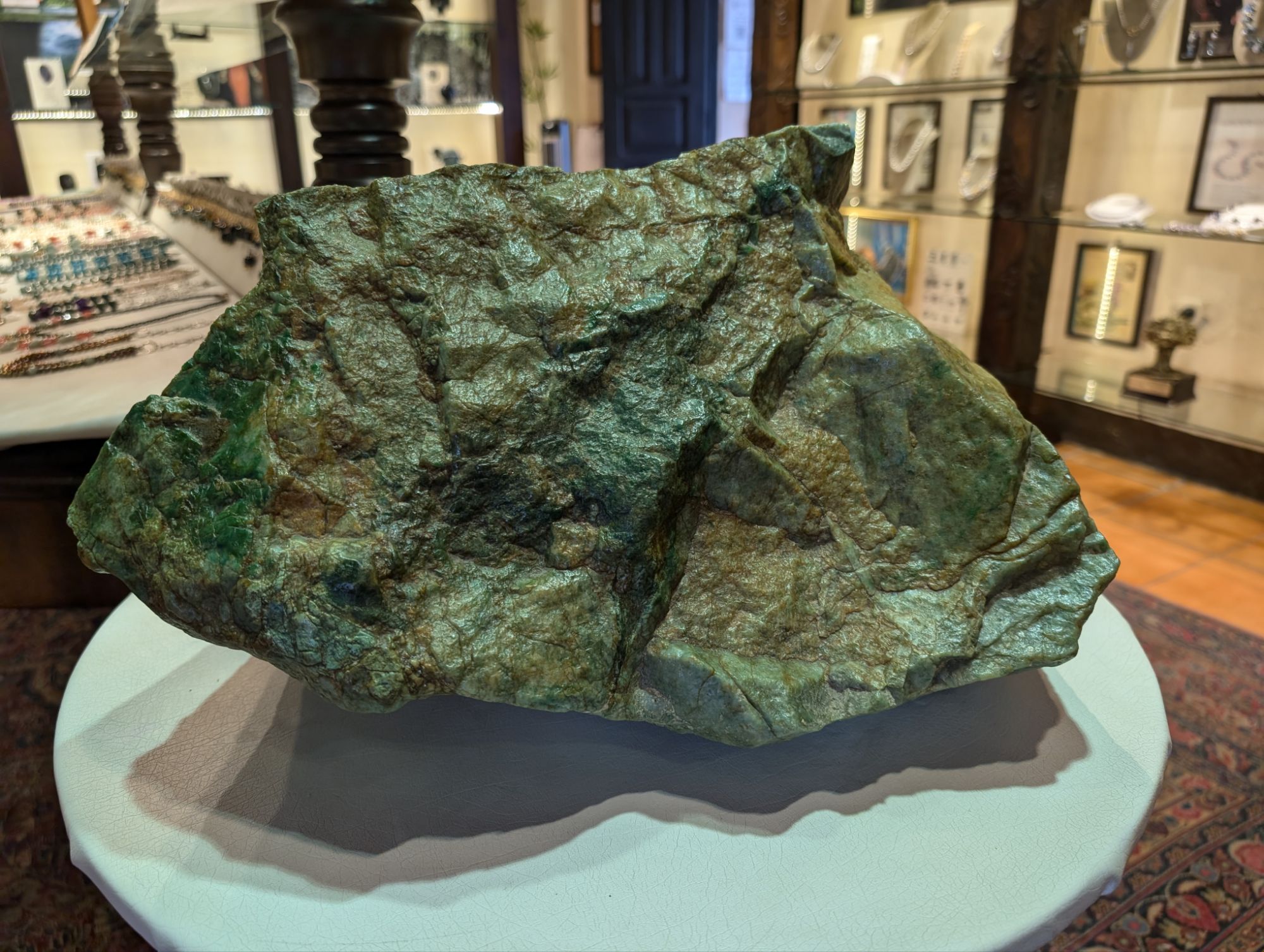
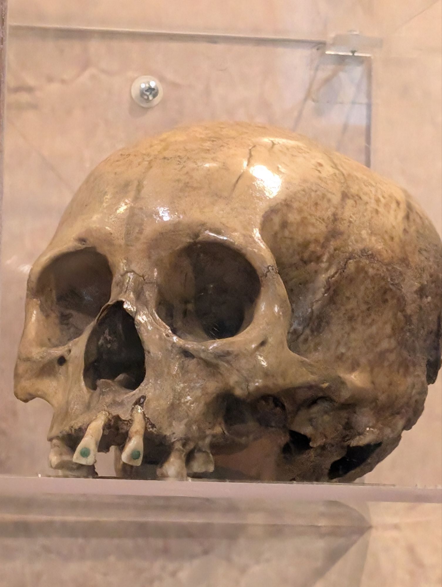
Jade museum
The 20 symbols of Aztec calendarA very large stone of jadeThey found that ancient people used jade to fill cavities.My Aztec symbol
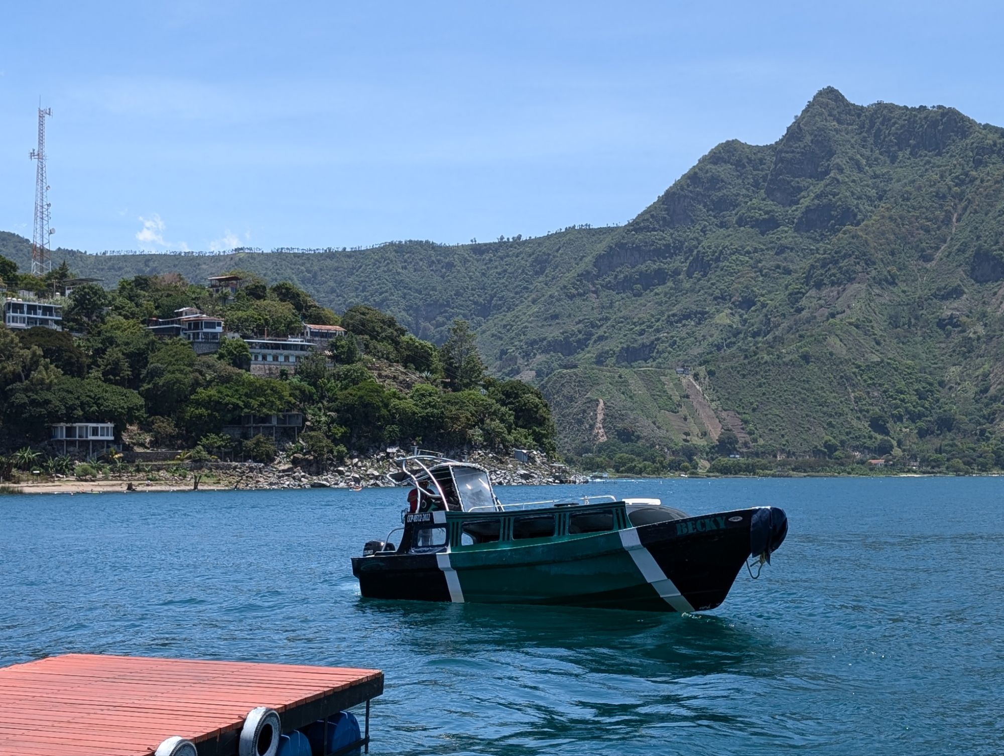
I booked only a day tour to Atitlán (it was a 14 hour tour). Many sirens a night or so there but I didn’t. It would be nice to stay there longer, but I actually liked Antigua better.
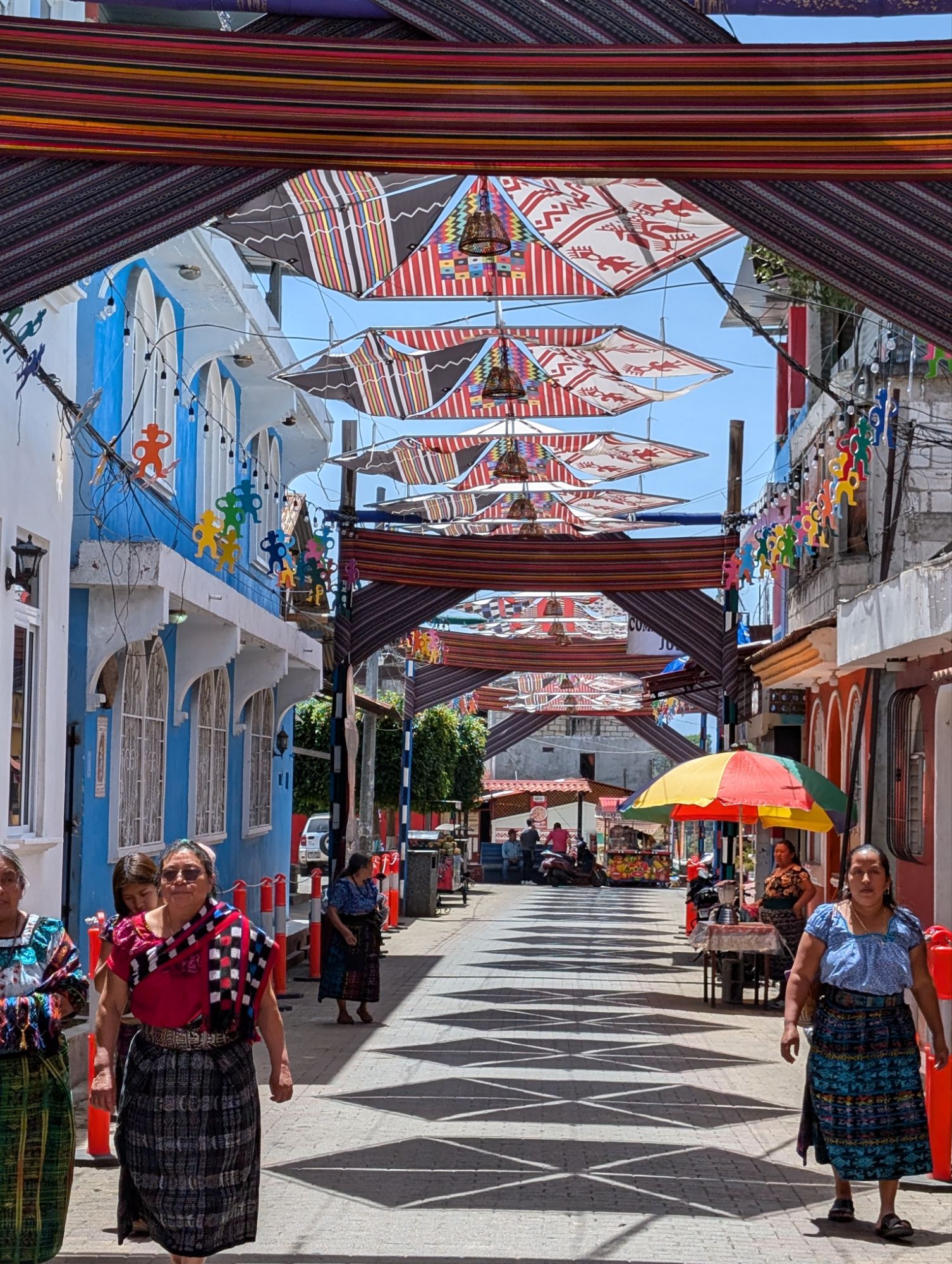
Along the lake are 4 little towns varying in size but touristy.
Penjachel
We arrived first by van in this town and spent an hour talking amongst ourselves. I practiced my Spanish with two couples from Costa Rica
The other towns are across the lake so we hopped on a side boat and set of for the first town.
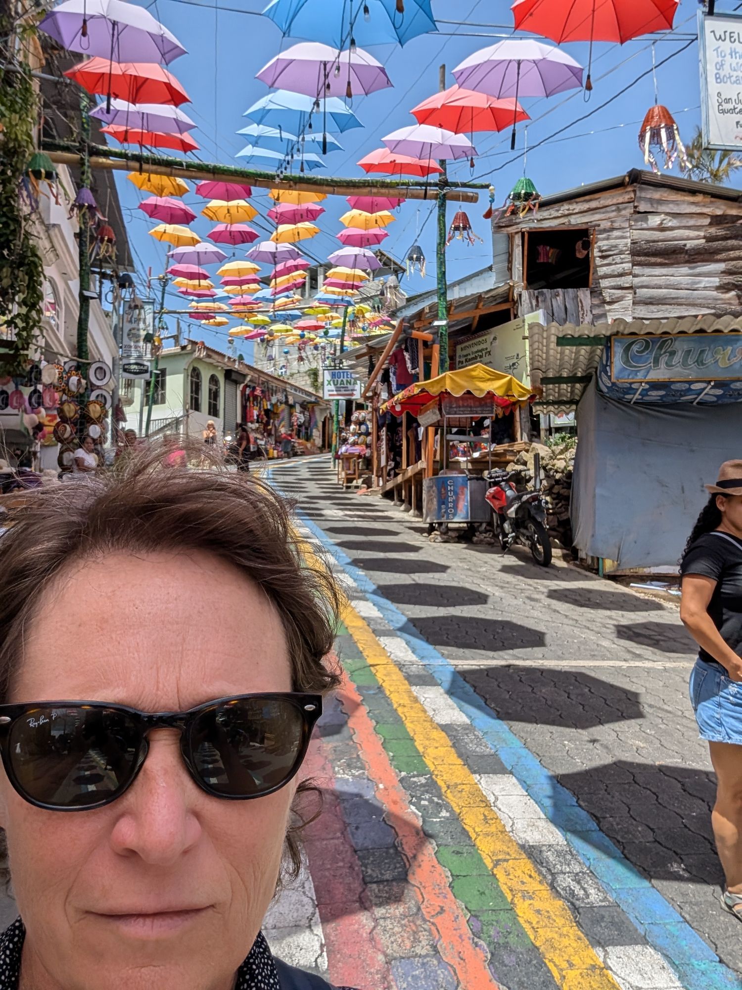
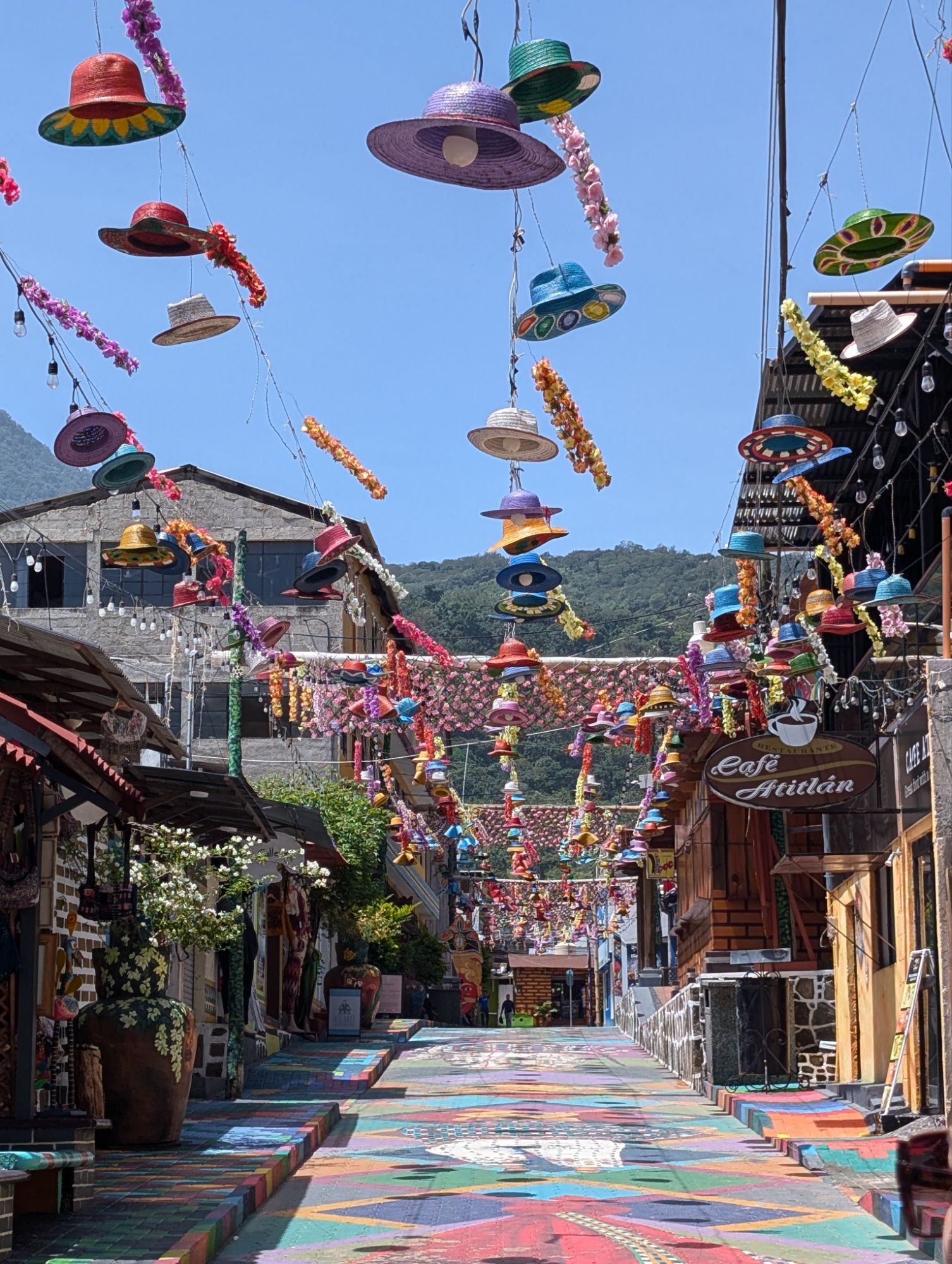
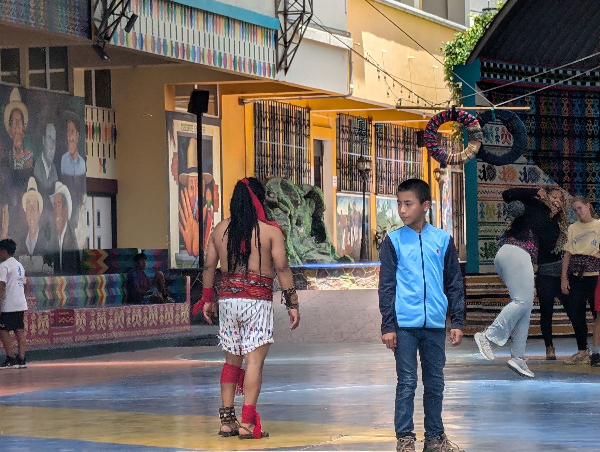
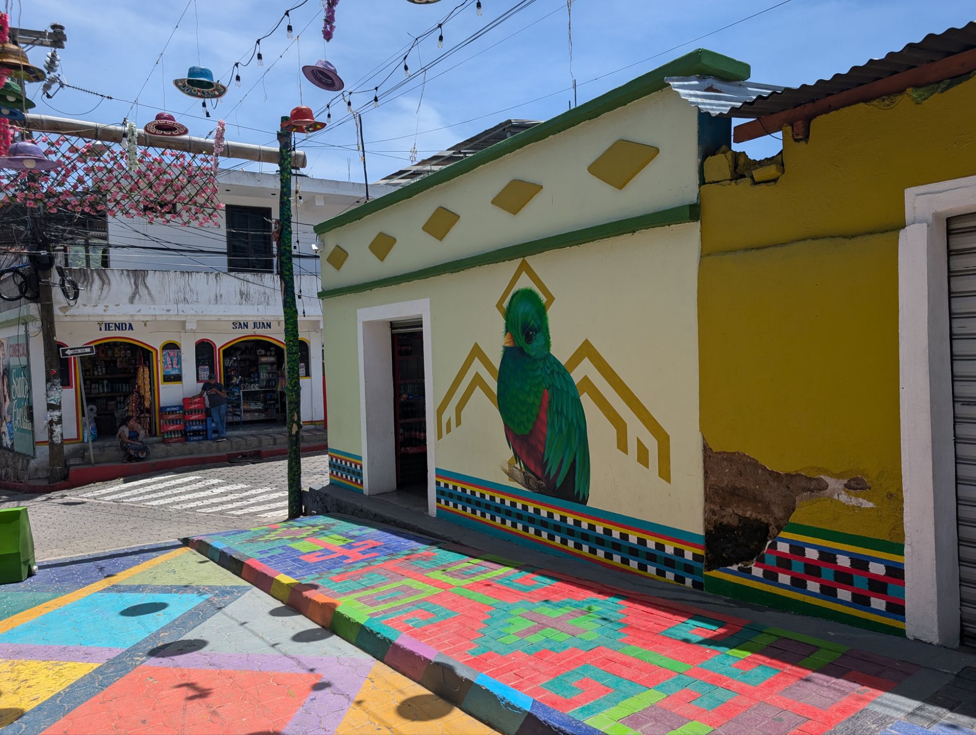
San Juan la Laguna
This town is very picturesque and had a nice vibe. We started with a chocolate tour. Instead of joining the guide with the one in English, I stayed with the Spanish group. I also bought some chocolate for cocoa and a bar with chilis in it.
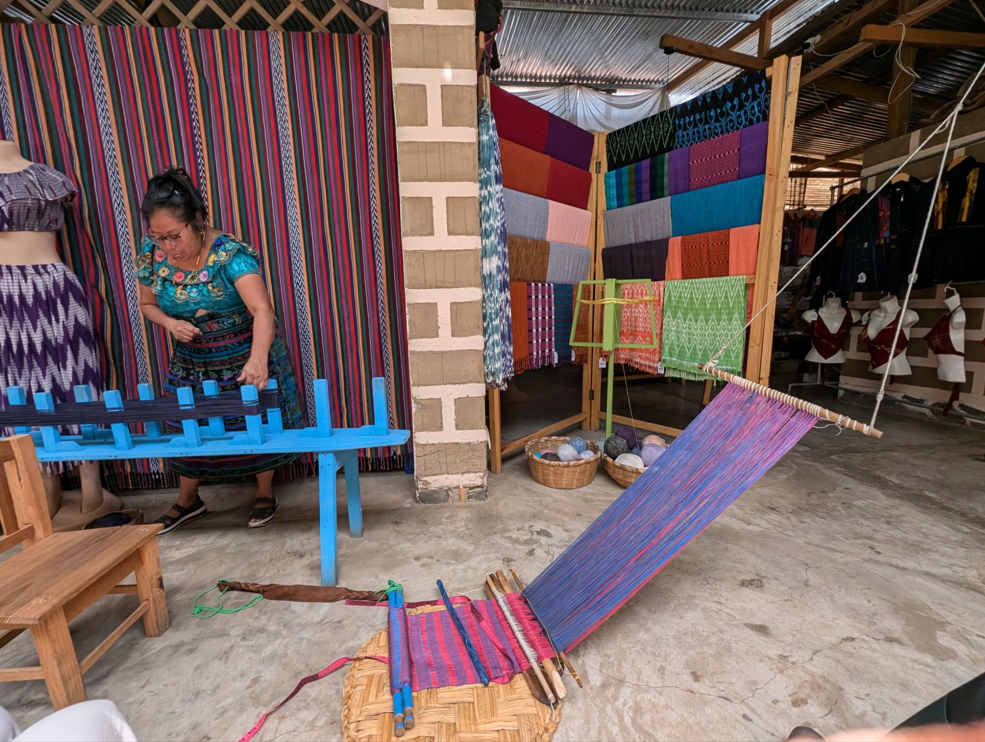
Then we walked to the top of the hill for a weaving demonstration.
I loved the bright colors and how calm the town is.
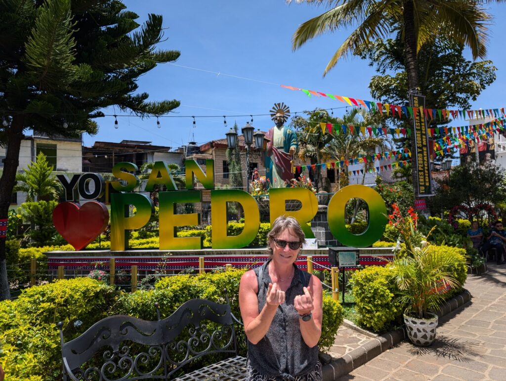
San Pedro
The next town was a little more active and less colorful.
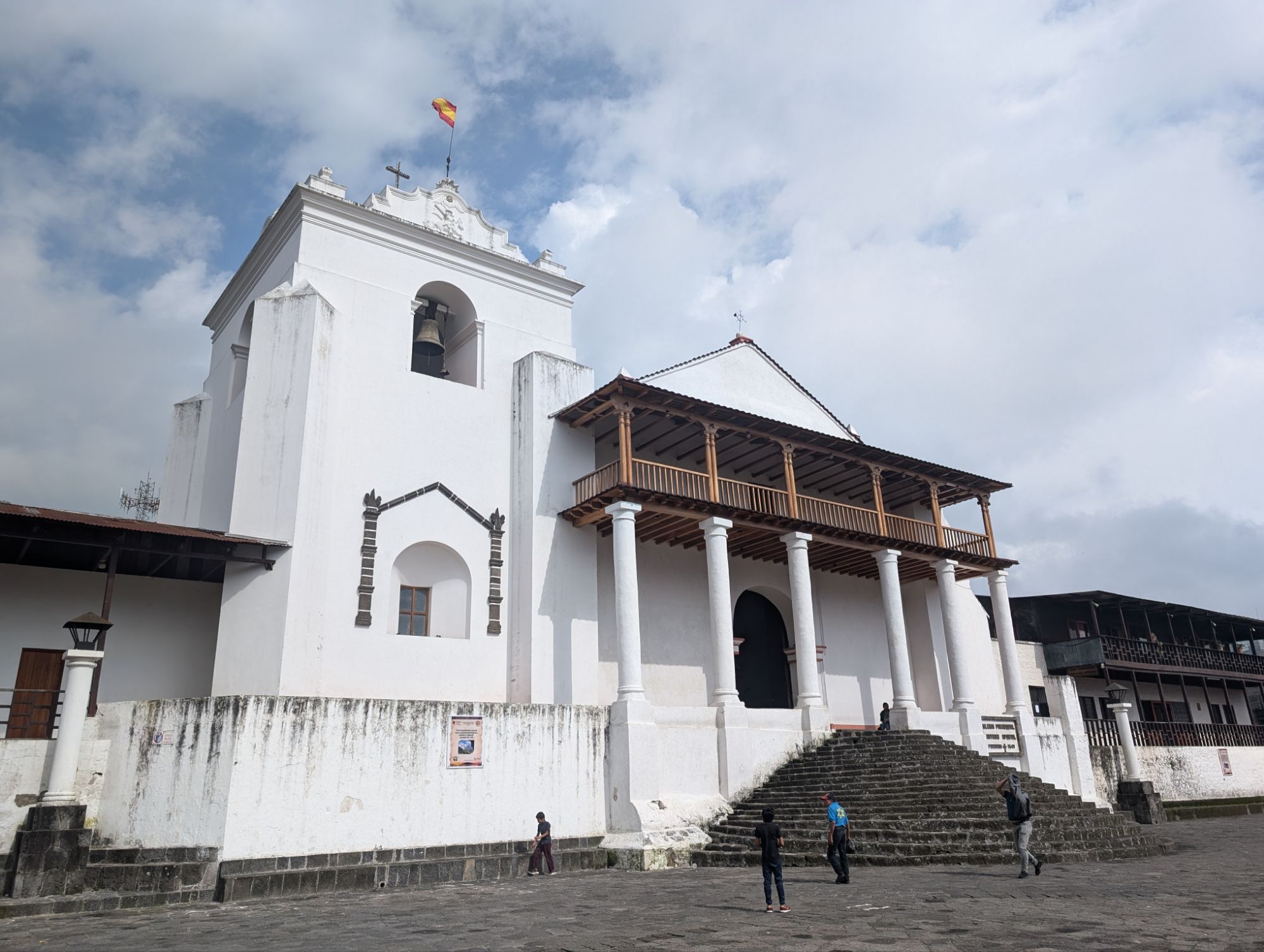
Santiago Atitlán
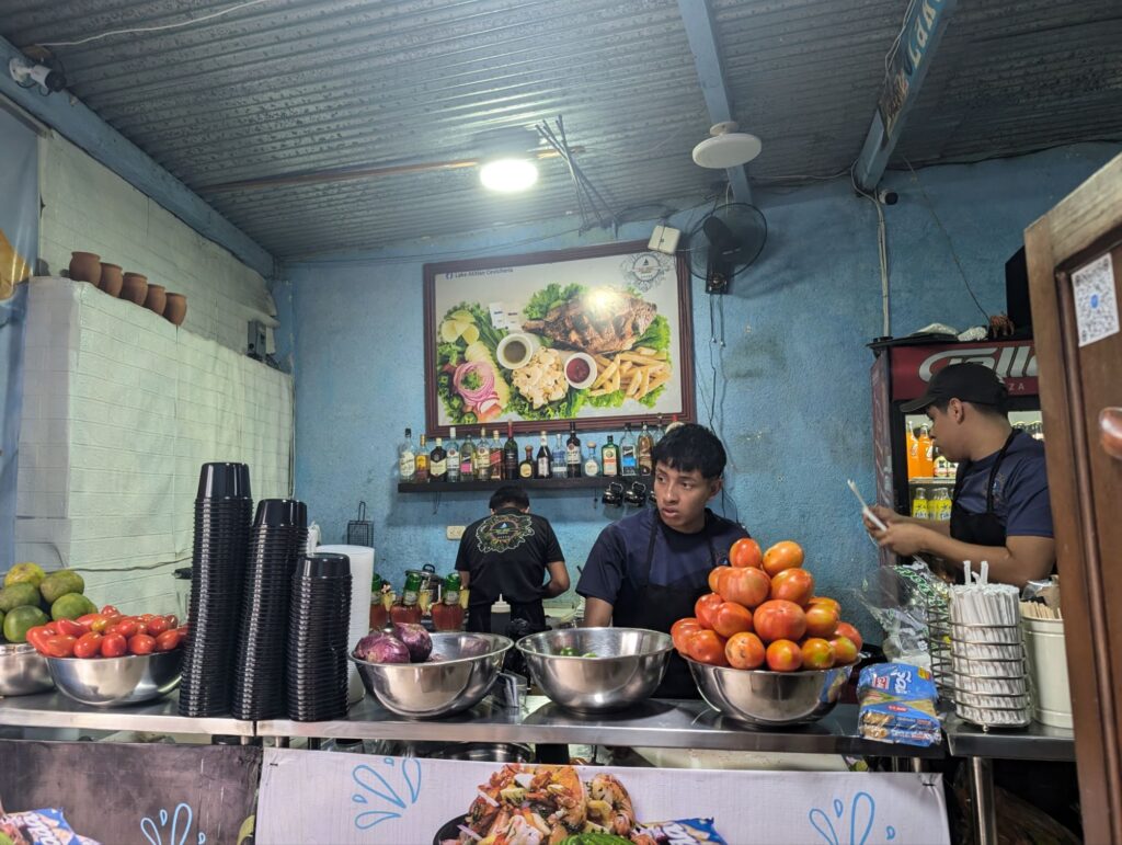
This is the biggest of the towns. Very bustling and not quaint or colorful. We stopped for lunch and I was not inspired by the menu so just ordered chips and guacamole. Another woman on the trip, Paula, was on the Pacaya vulcan trip and we walked around together. We were glad that they decided not to keep everyone together but let us explore on our own. We headed out to find good ceviche.
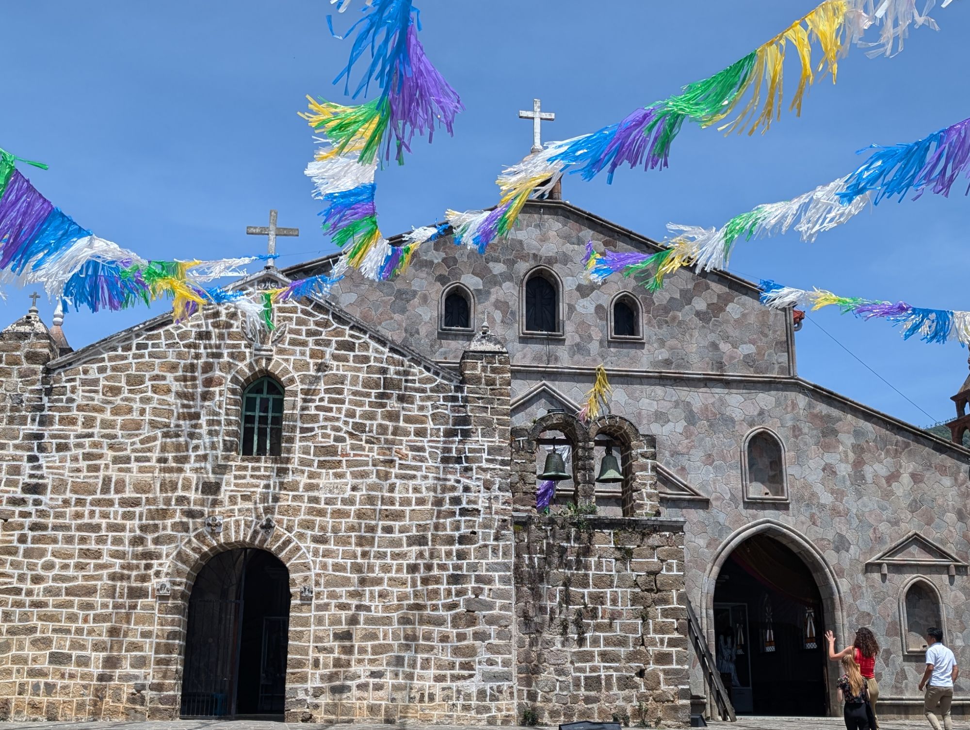
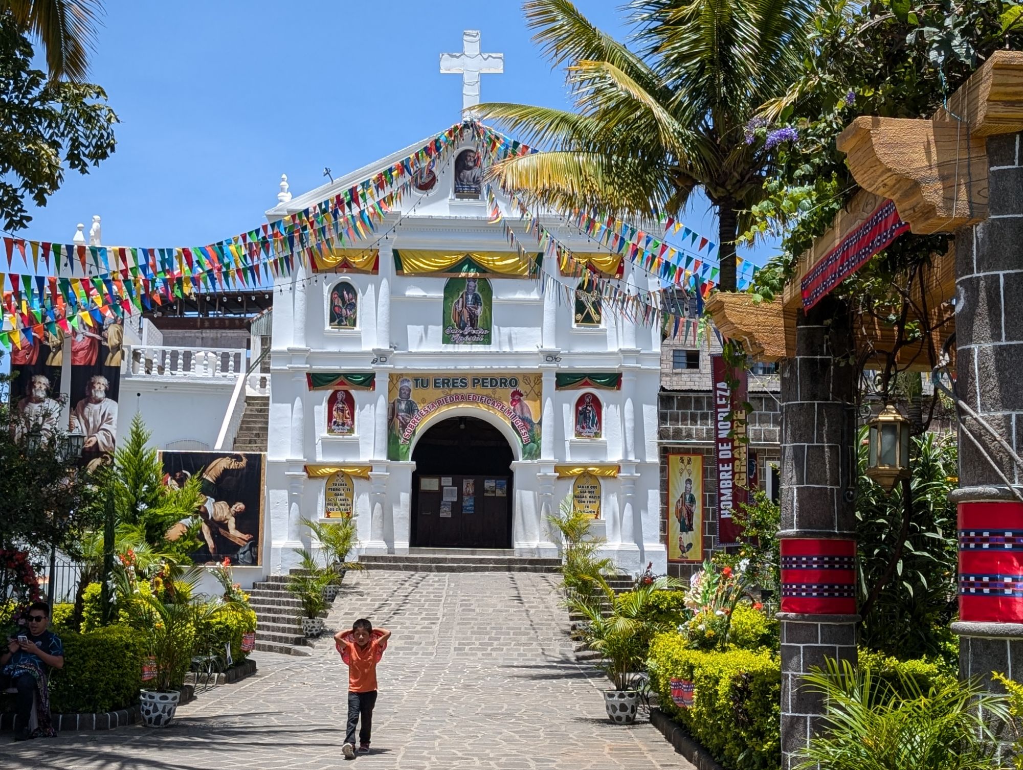
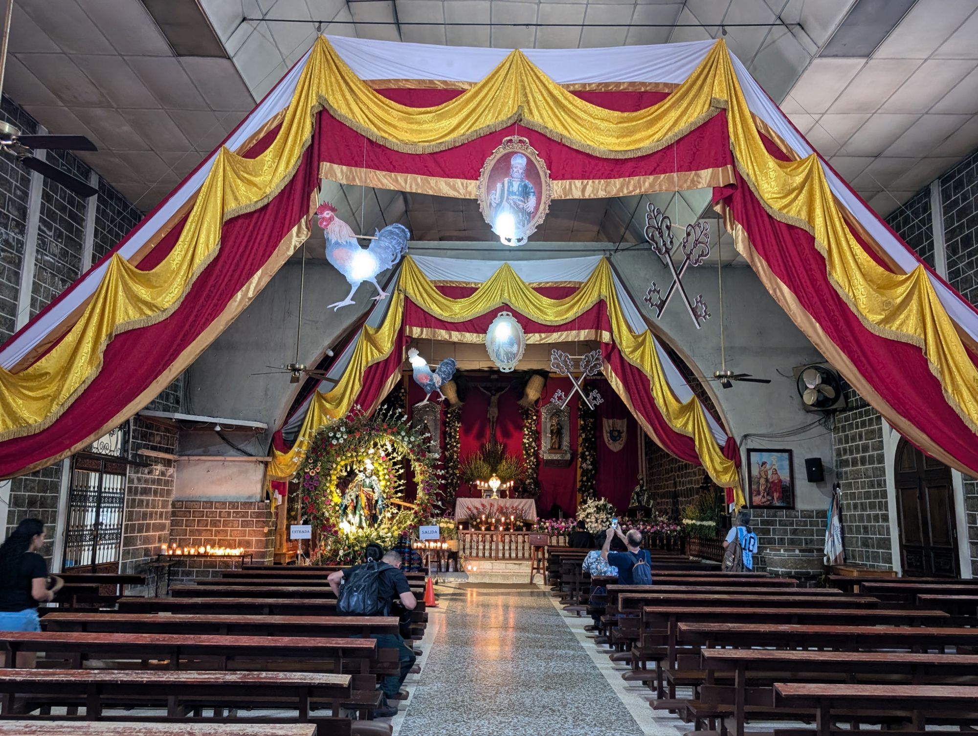
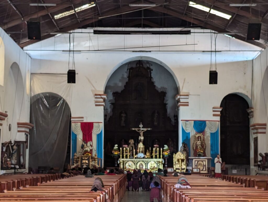
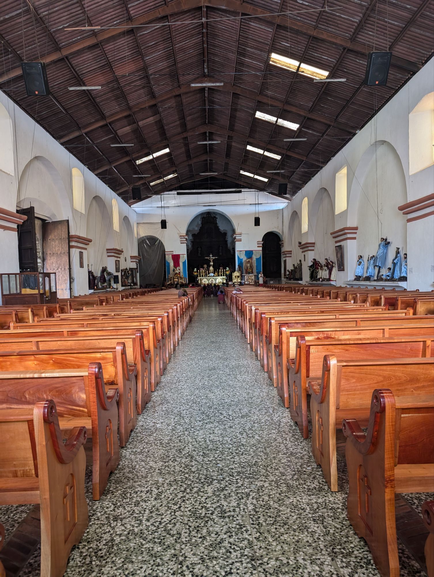
We walked around a little longer to find the church.
After the speed boat ride back it was time for the long van ride back. I think I still made the right choice to spend more time in Antigua and then spend time in Flores.
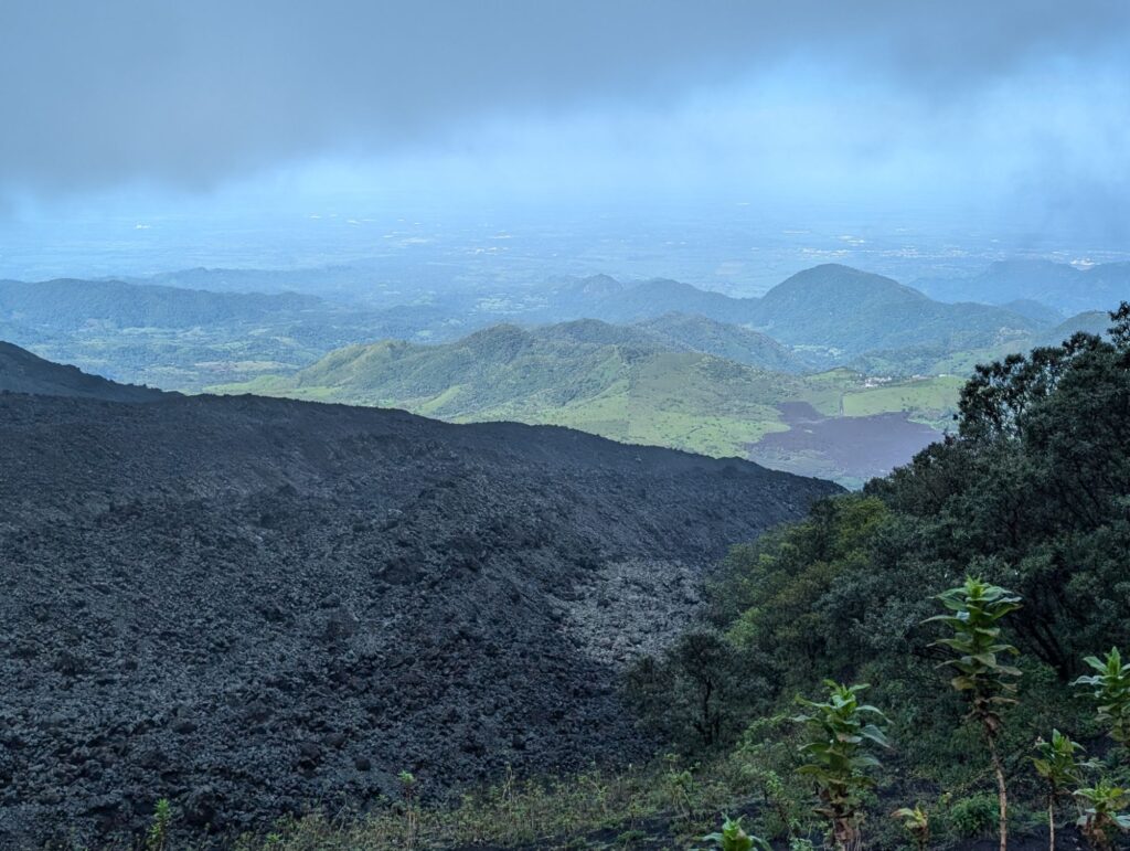
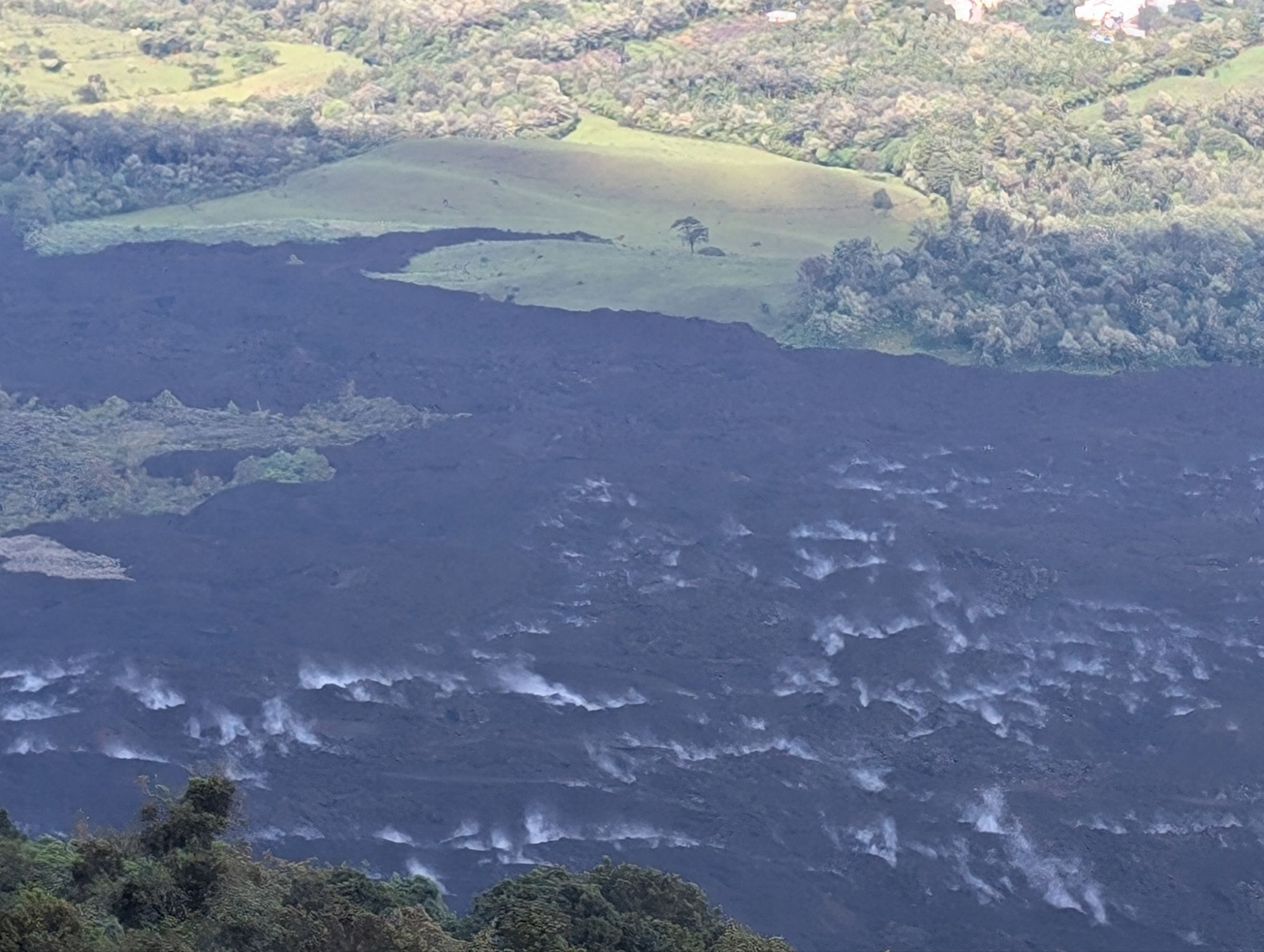
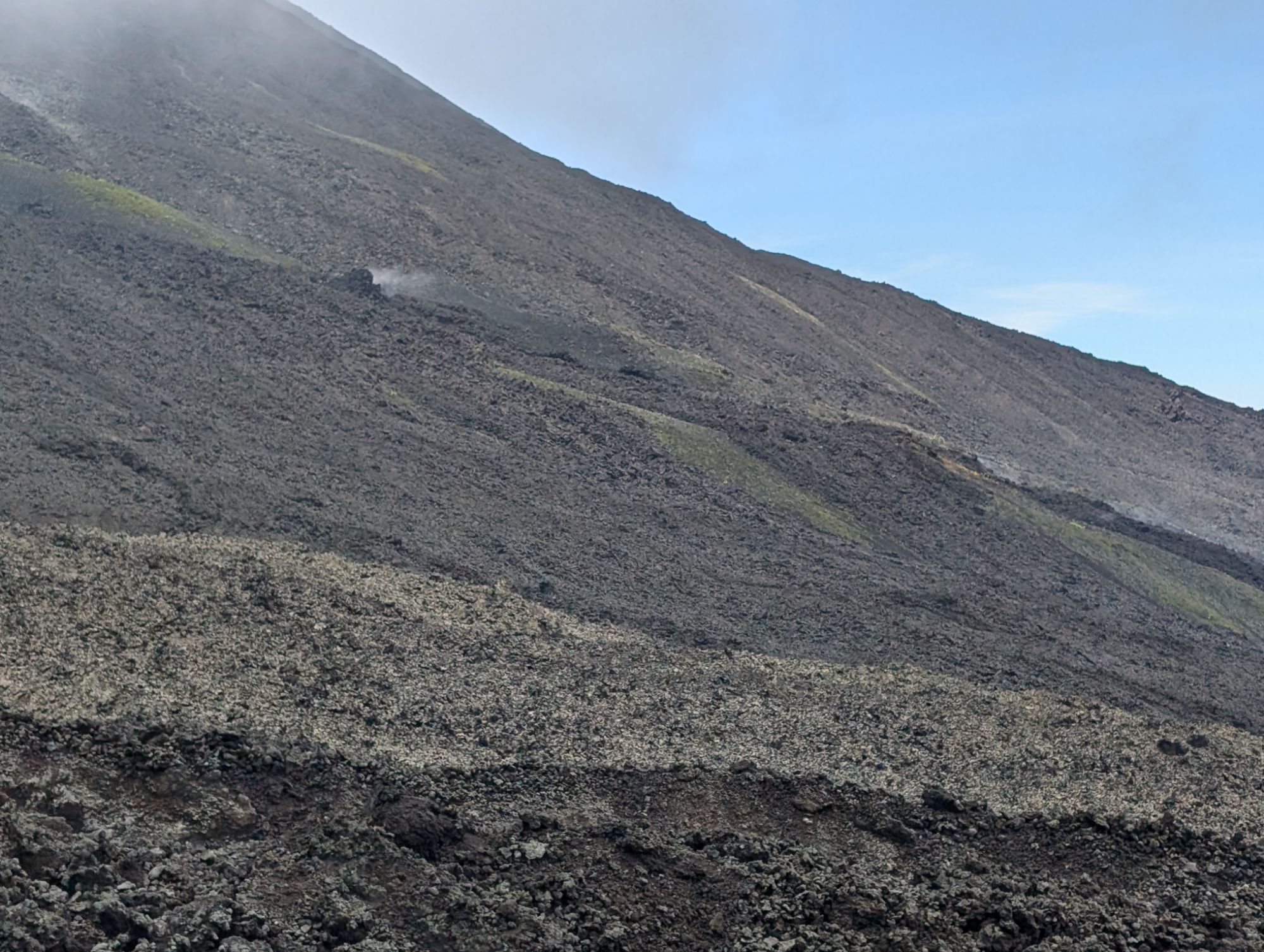
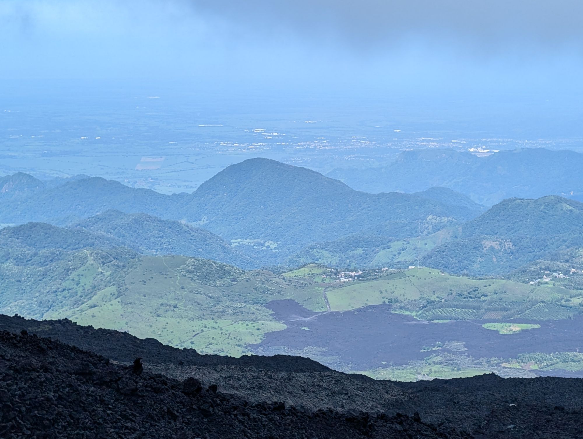
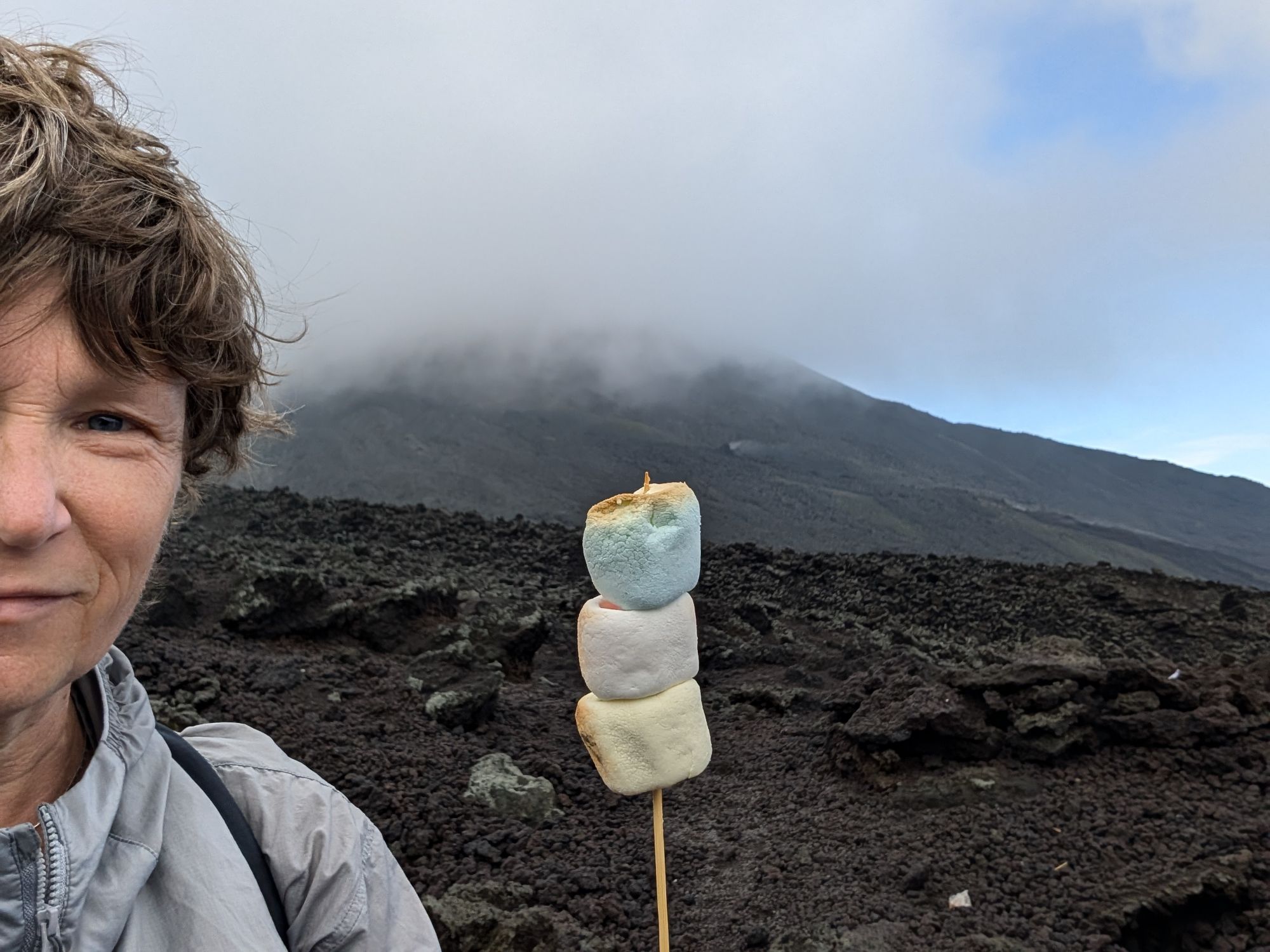
I took a tour to hike the Pacaya volcano. Pacaya is an active volcano. It has been continuously active since 1965 and the last edition was in 2021. It is one of the most active volcanoes in Central America. It is 2,552 meters (8,373 feet) above sea level. Most of its eruptions are lava flows with some ash plumes, but only a few explosions.
The last eruption still has many fumerolesFumeroles which are volcanic ventsYou can see the different lava fields from routine over the years.
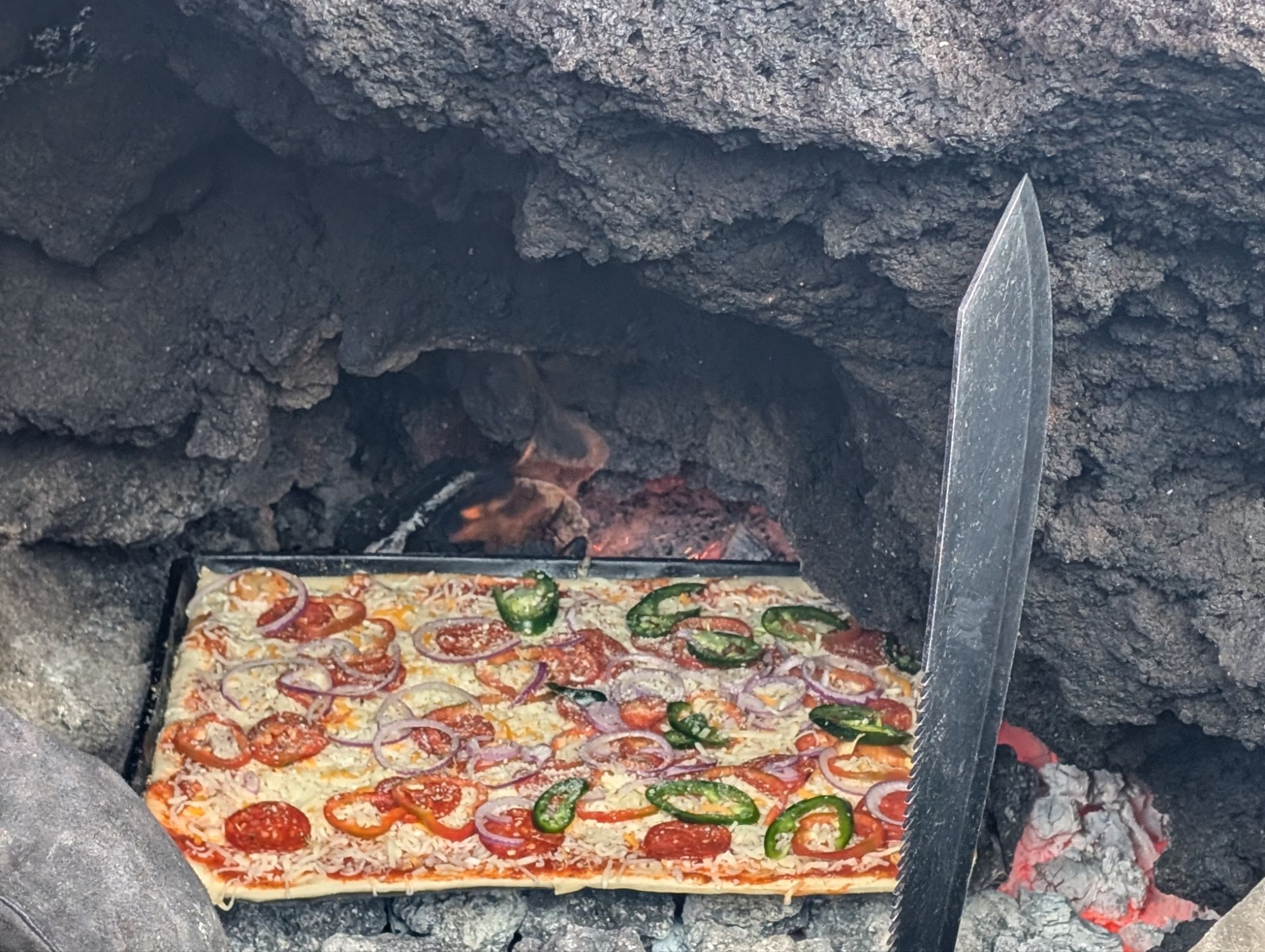
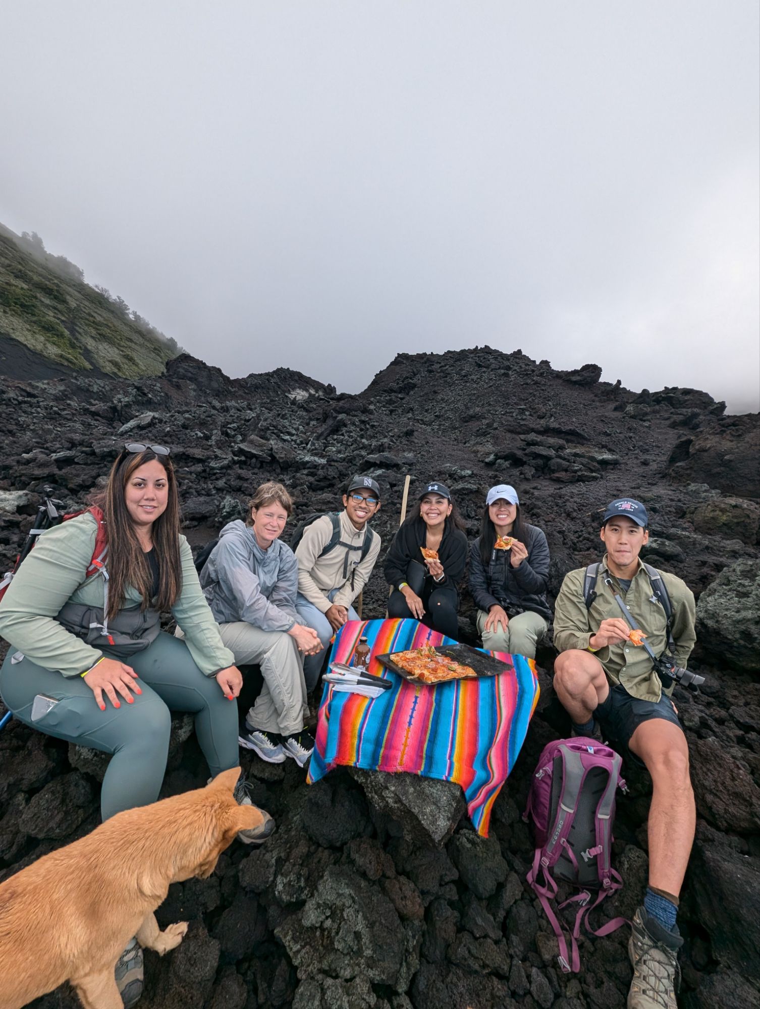
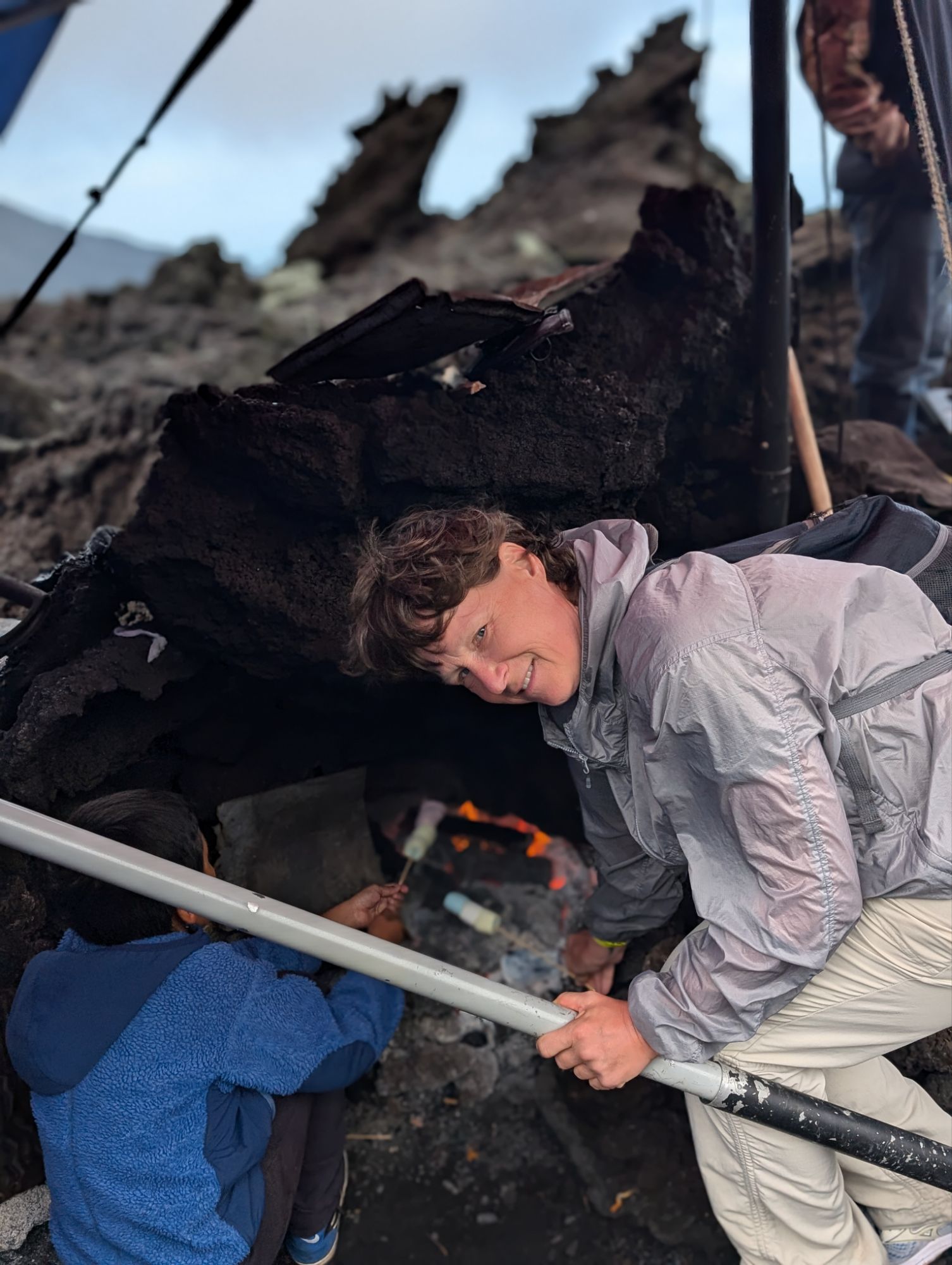
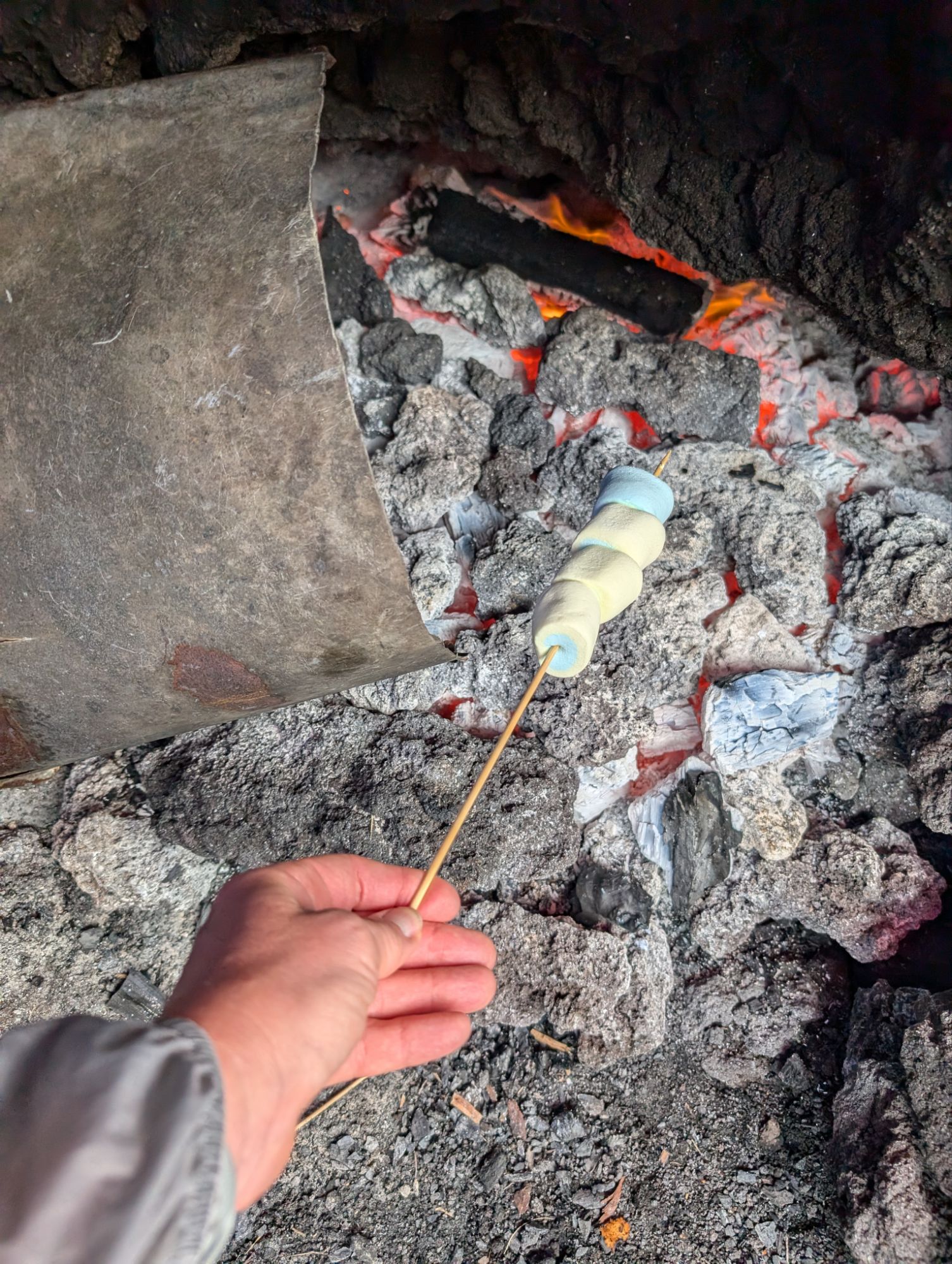
I was intrigued to view another volcano. There is a bigger one here but did not want an extreme hike. On this volcano trip you have the opportunity to roast marshmallows over a vent in the volcano. One person had reserved a pizza made on the vent as well so we all pooled our money together for a large pizza. It took 10 minutes to cook. They do add wood but the volcanic vent is the start of the fire. A bit pricey for pizza (70 quetzals for 2 pieces which is about $9) but they did bring the ingredients as the way to the top and the cool factor.
After pizza we roasted marshmallows.
A nice tour and had fun talking to others and the guide (in Spanish) followed by sitting in the pool at the hotel to cool off.
A day after arriving back in Quito from the Galapagos, I was headed to the airport for a 2 week exploration before making it back to the states. The plan was Guatemala, El Salvador, and Belize. But 10 hours before my flight, I received notification that two of my flights were cancelled. Those were the flights going to El Salvador and on to Belize. A flight would not be available until 5 days later but I had other flights to other countries at that time.
Of concern was needing a flight out of Guatemala before I could board the plane. I showed the original itinerary which was accepted and started researching what I would do next.
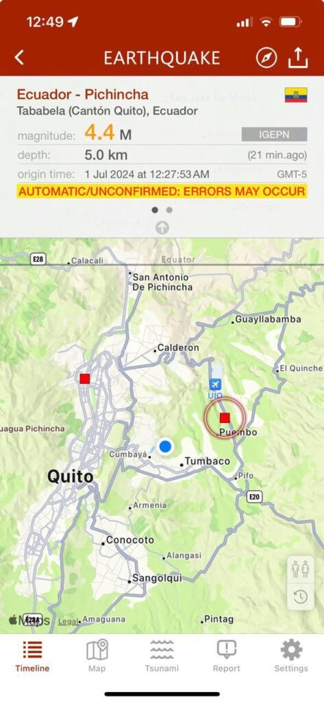
While at immigration in the airport, there was a 4.2 earthquake with the epicenter close to the airport. A second one followed quickly in Puembo. No damage or injuries and the plane took off on time.
In the end, I found land transport from Antigua to Flores in the north and transport into my next town in Belize. I am okay with how it turned out as it gives me more downtime in Belize and seeing more of Guatemala. After I arrived in Antigua, a rainstorm gave me time to search and book transport.
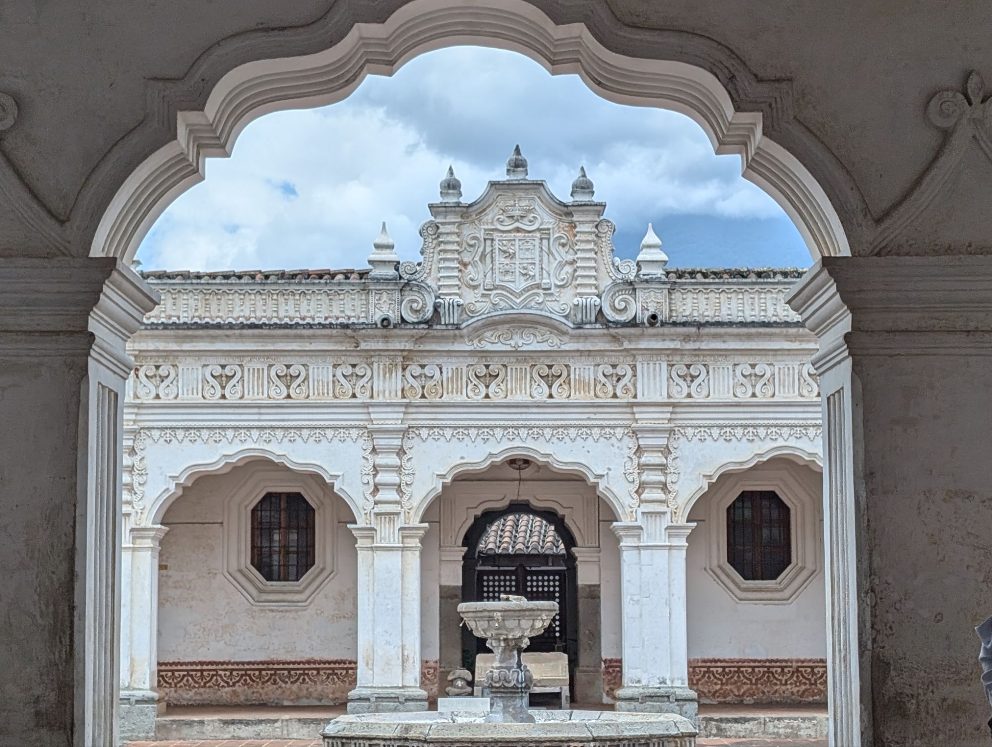
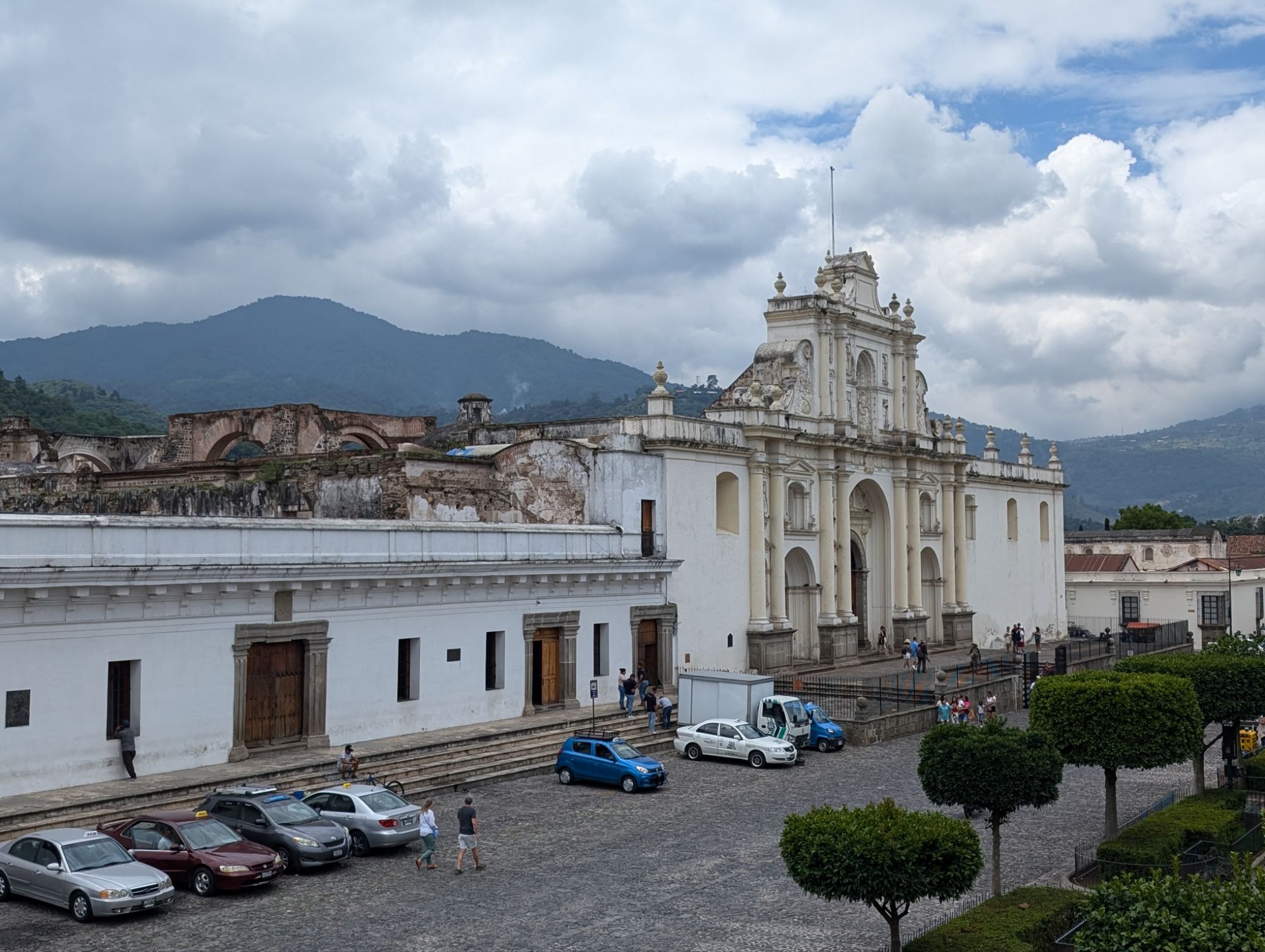
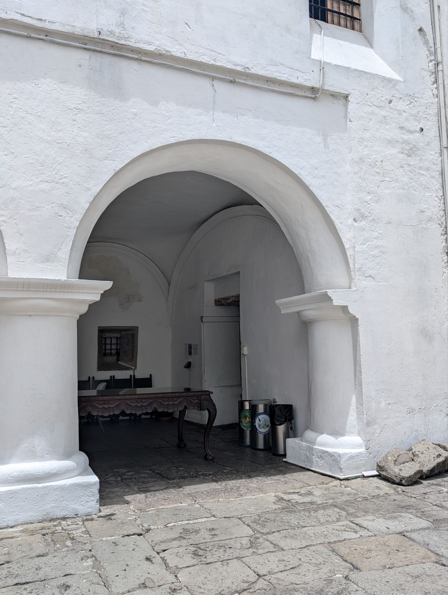
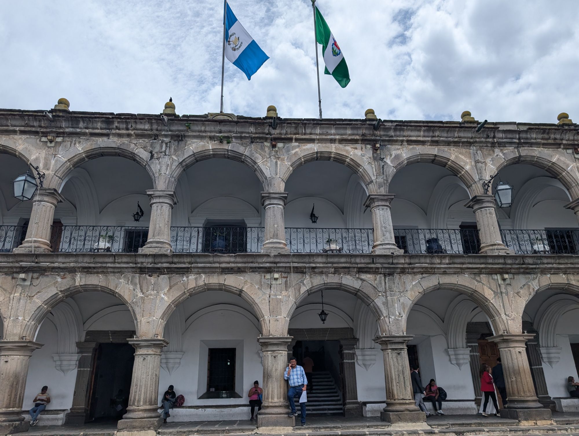
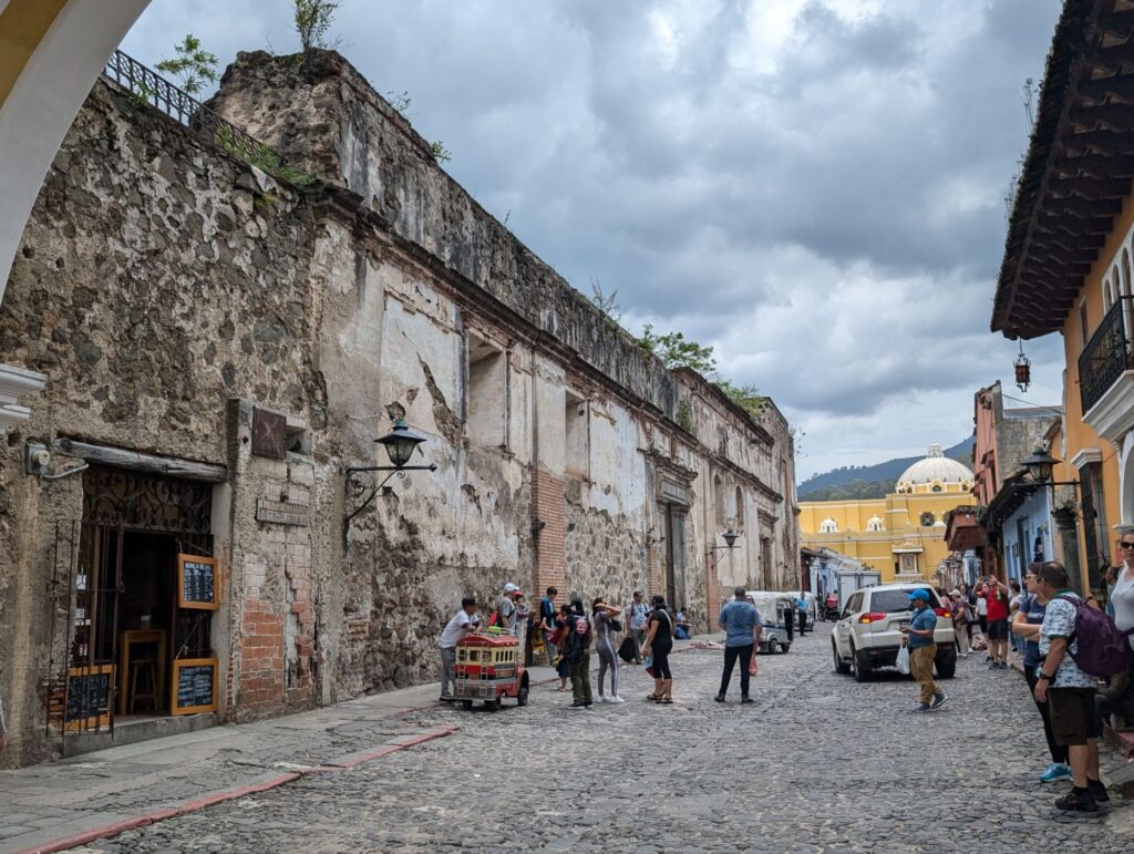
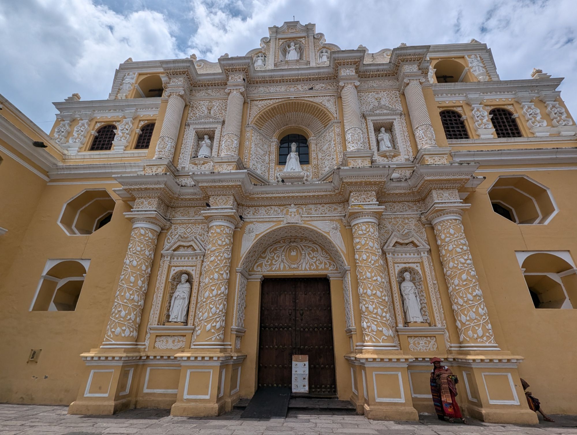
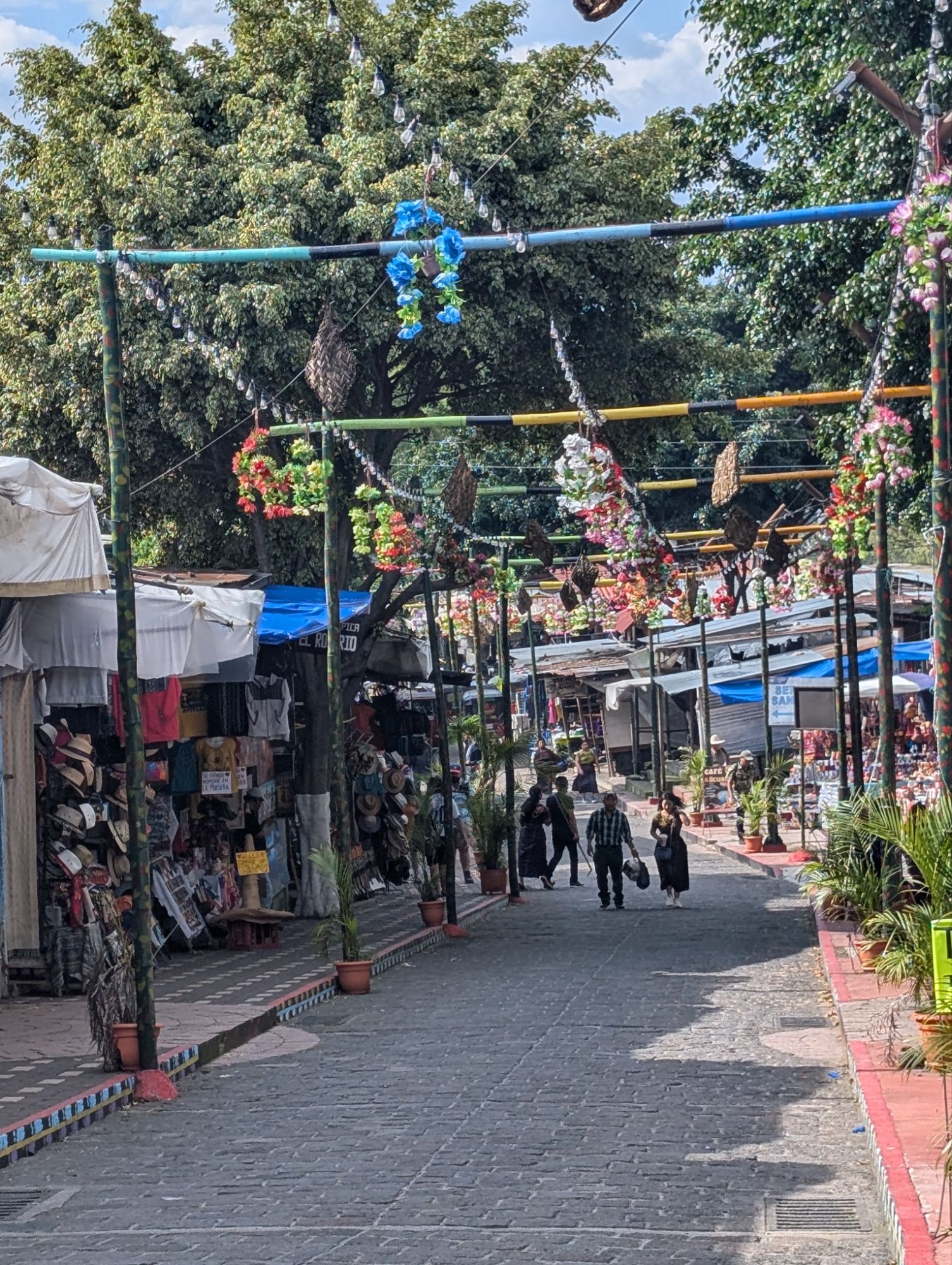
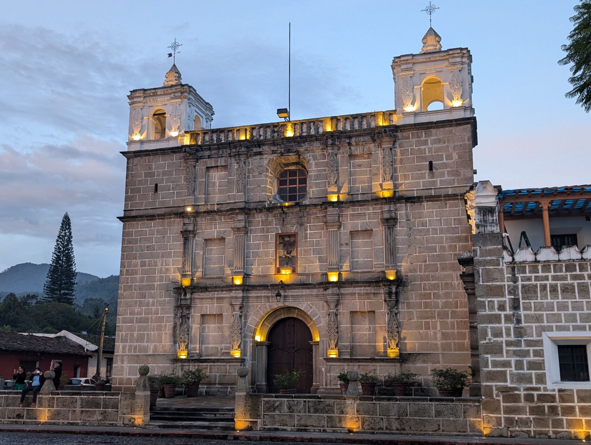
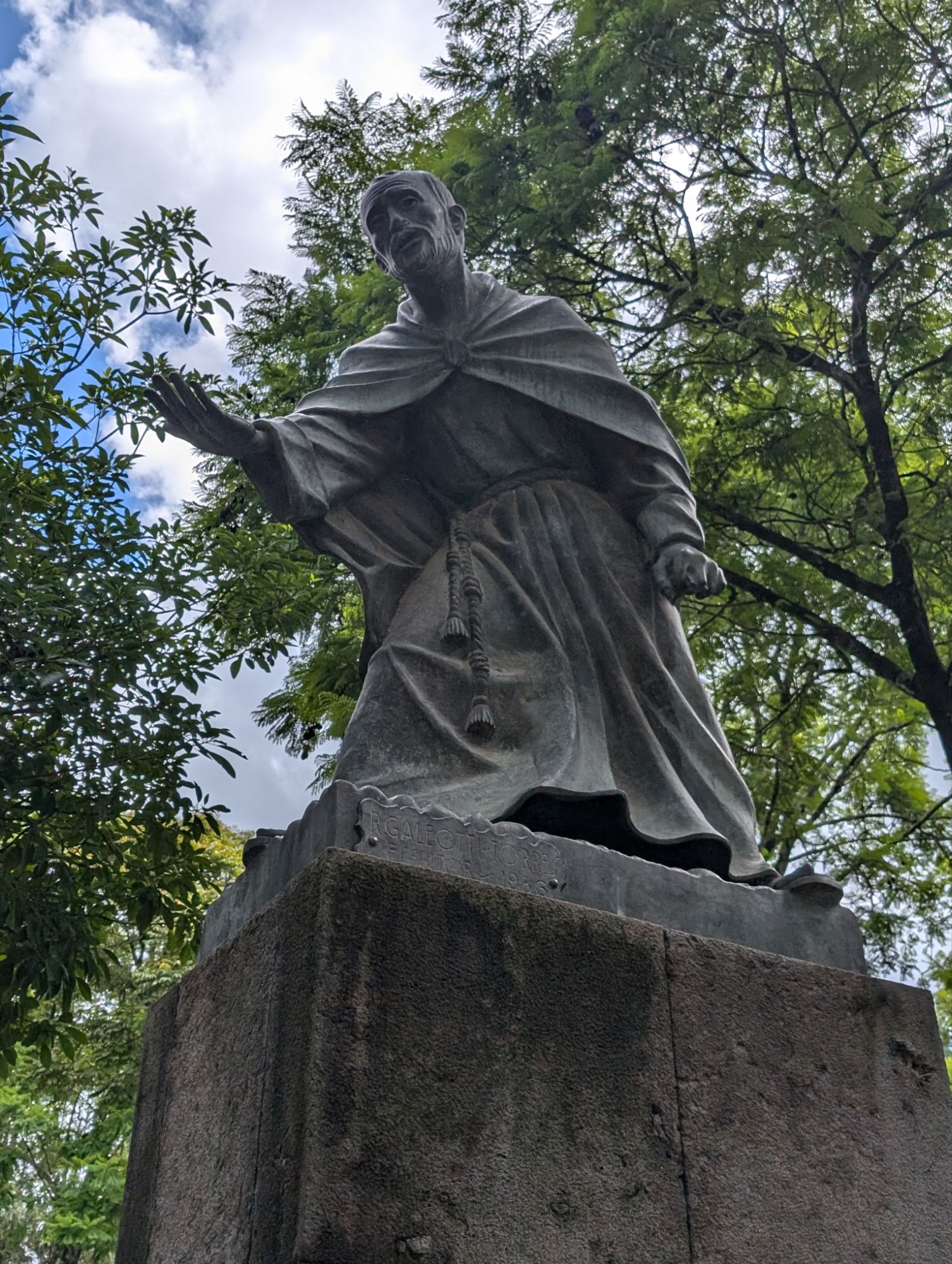
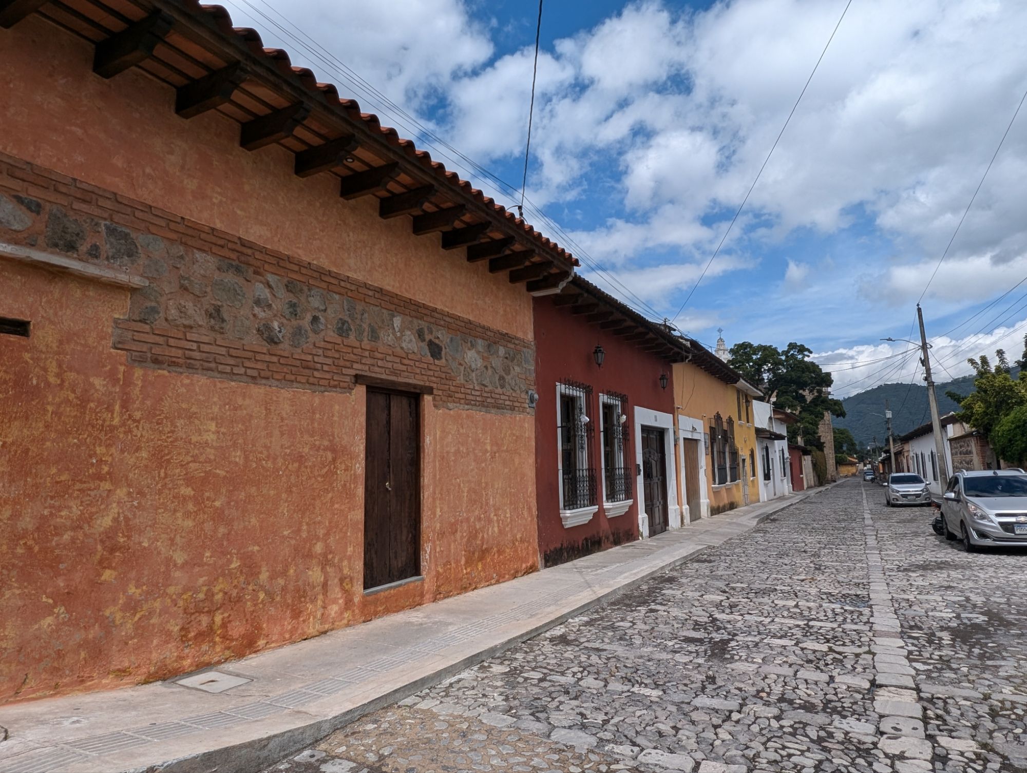
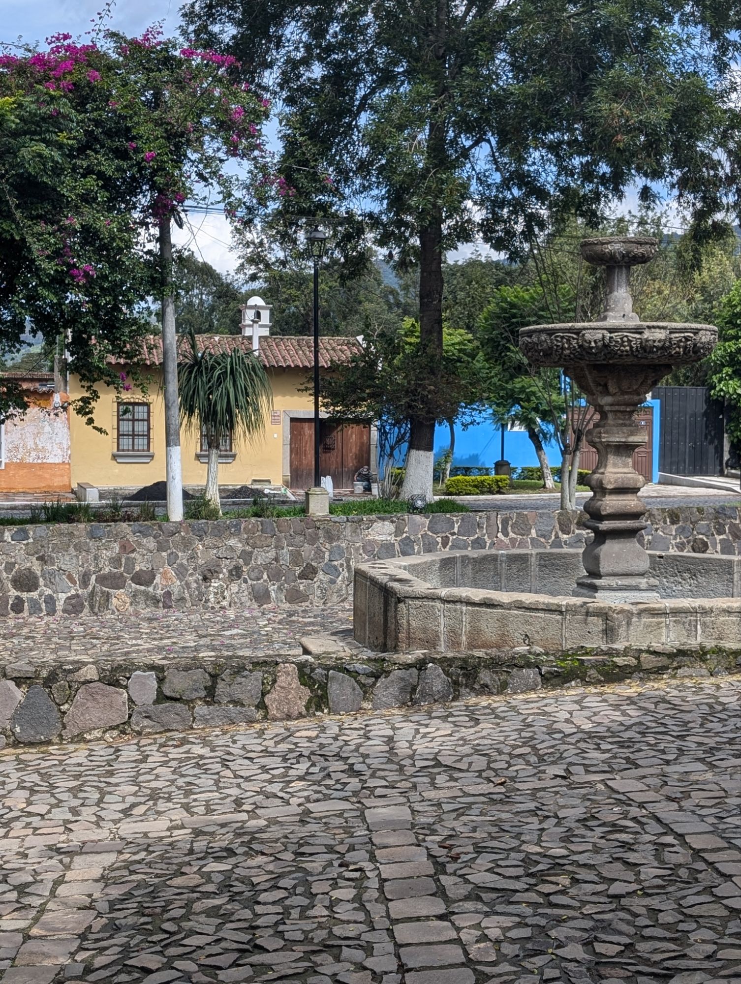
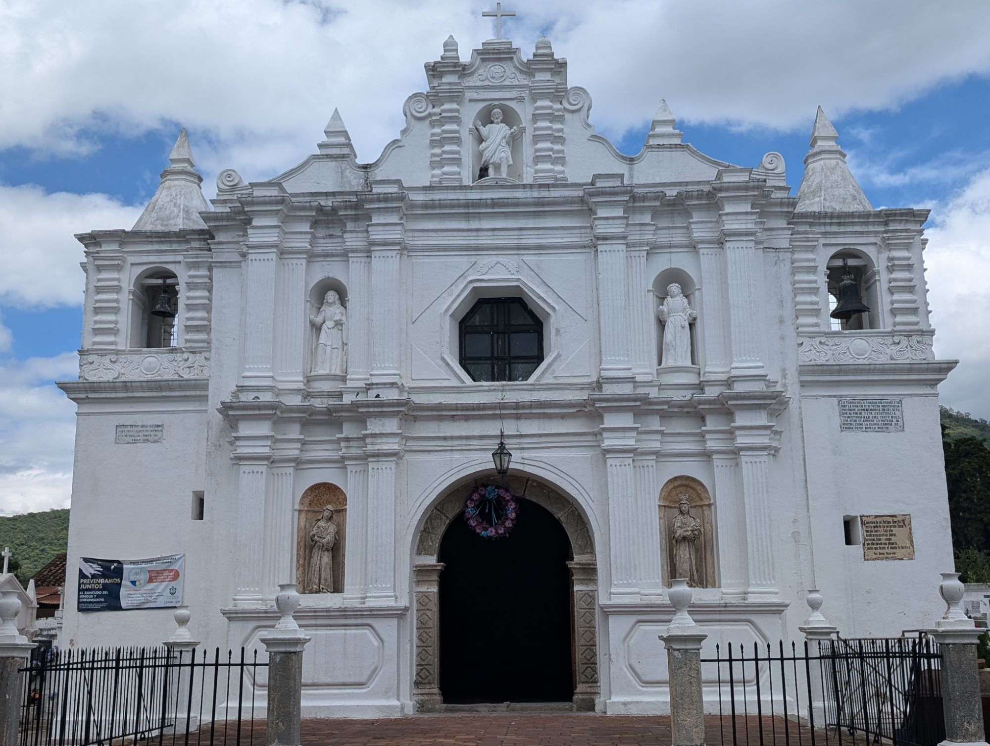
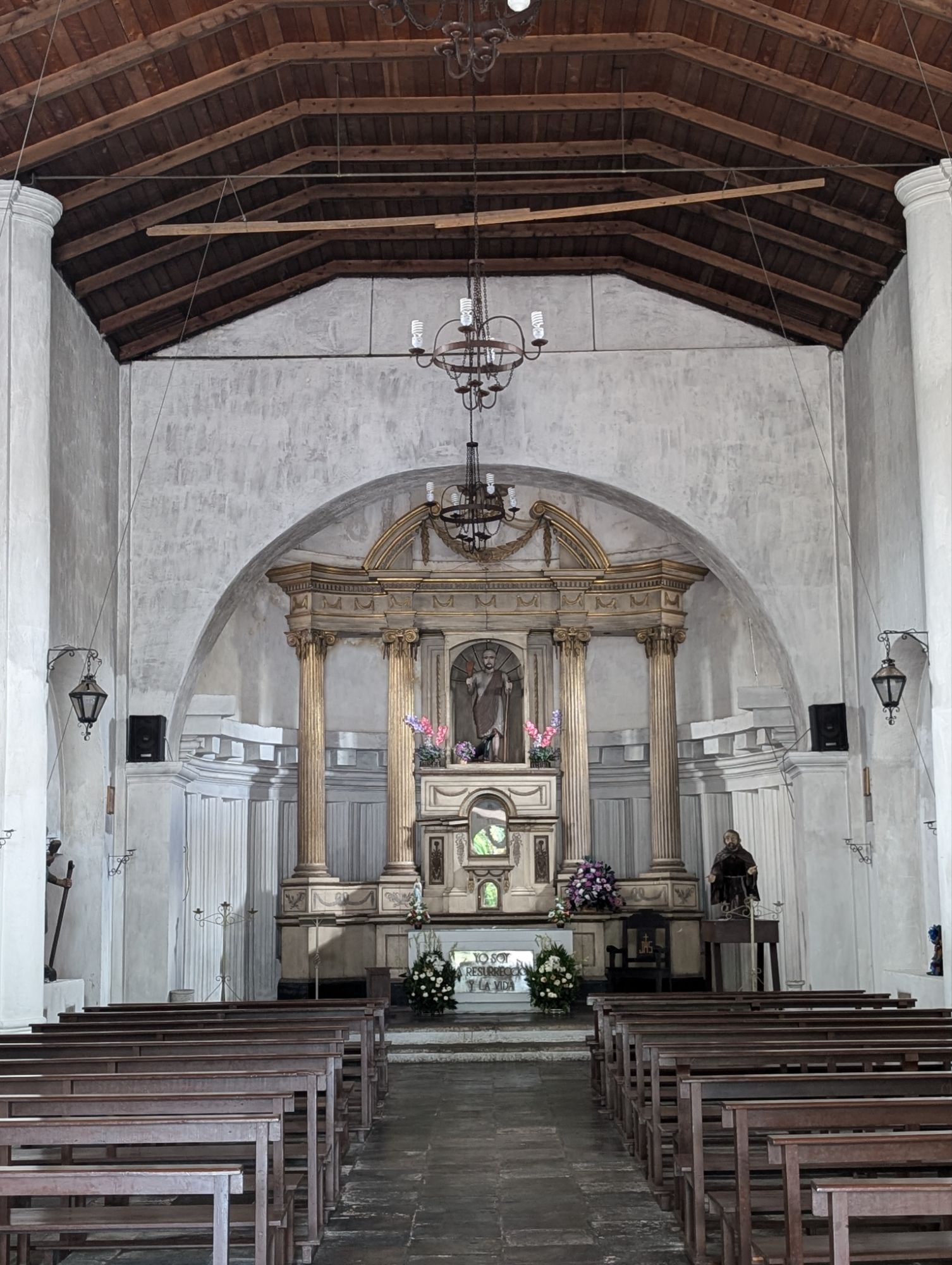
Antigua
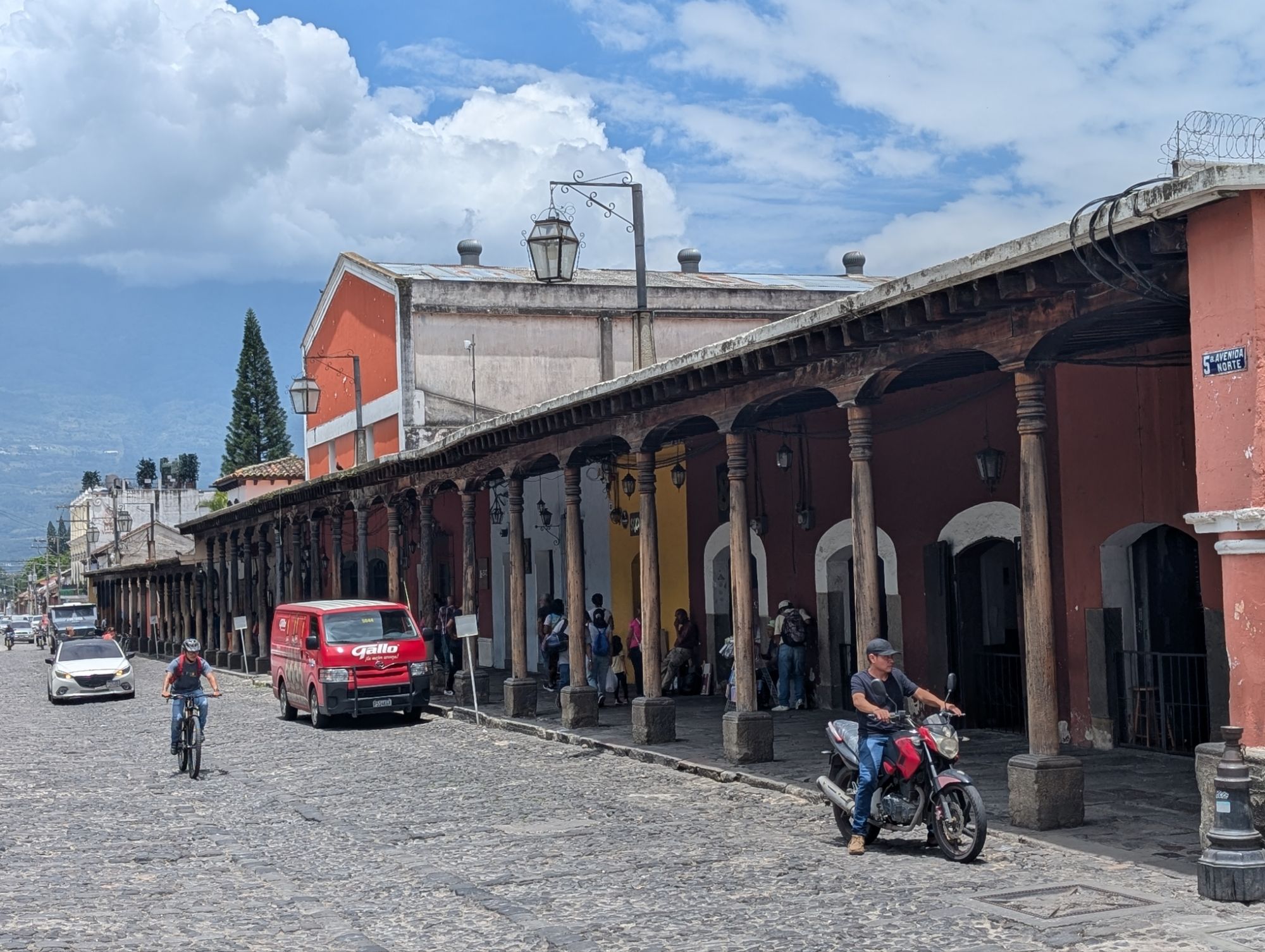
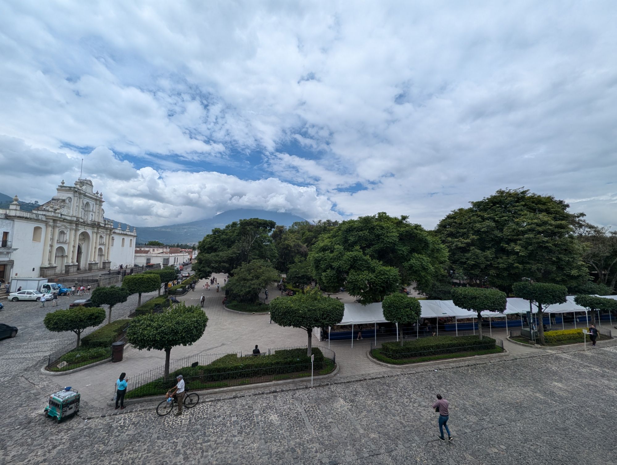
Antigua is a past capital found in the central highlands and surrounded by volcanoes. The architecture is beautiful of both the buildings and the churches. Founded in 1543 it was the capitol until 1773 when there was a damaging earthquake. Many of the buildings were preserved. The buildings are so colorful and the cobblestone streets make the whole city enchanting.
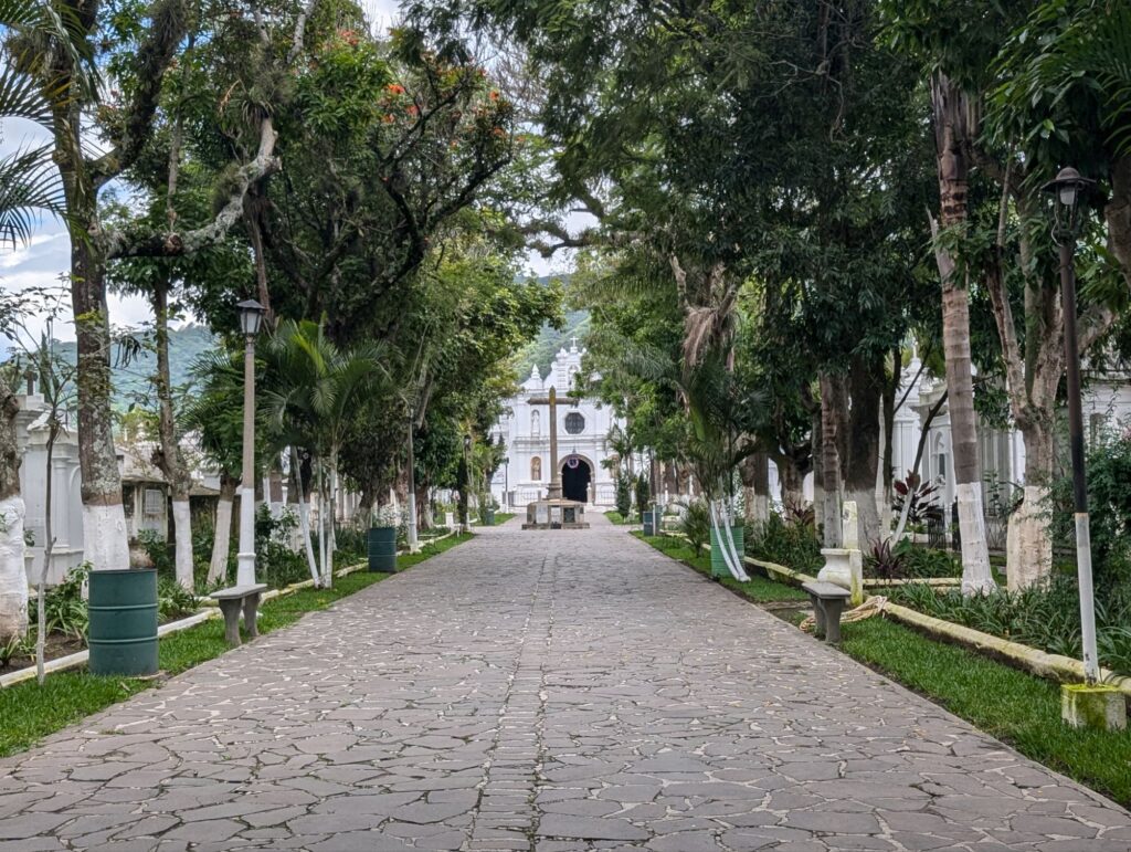
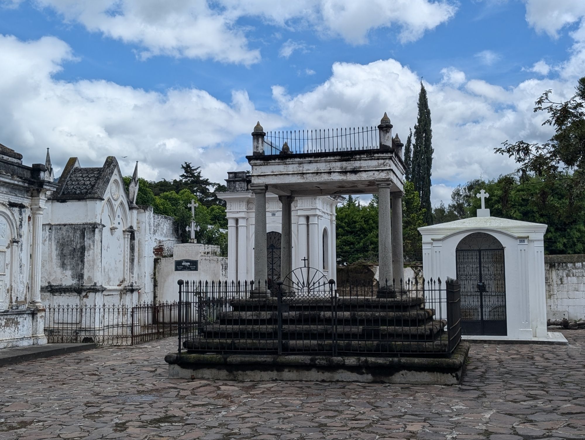
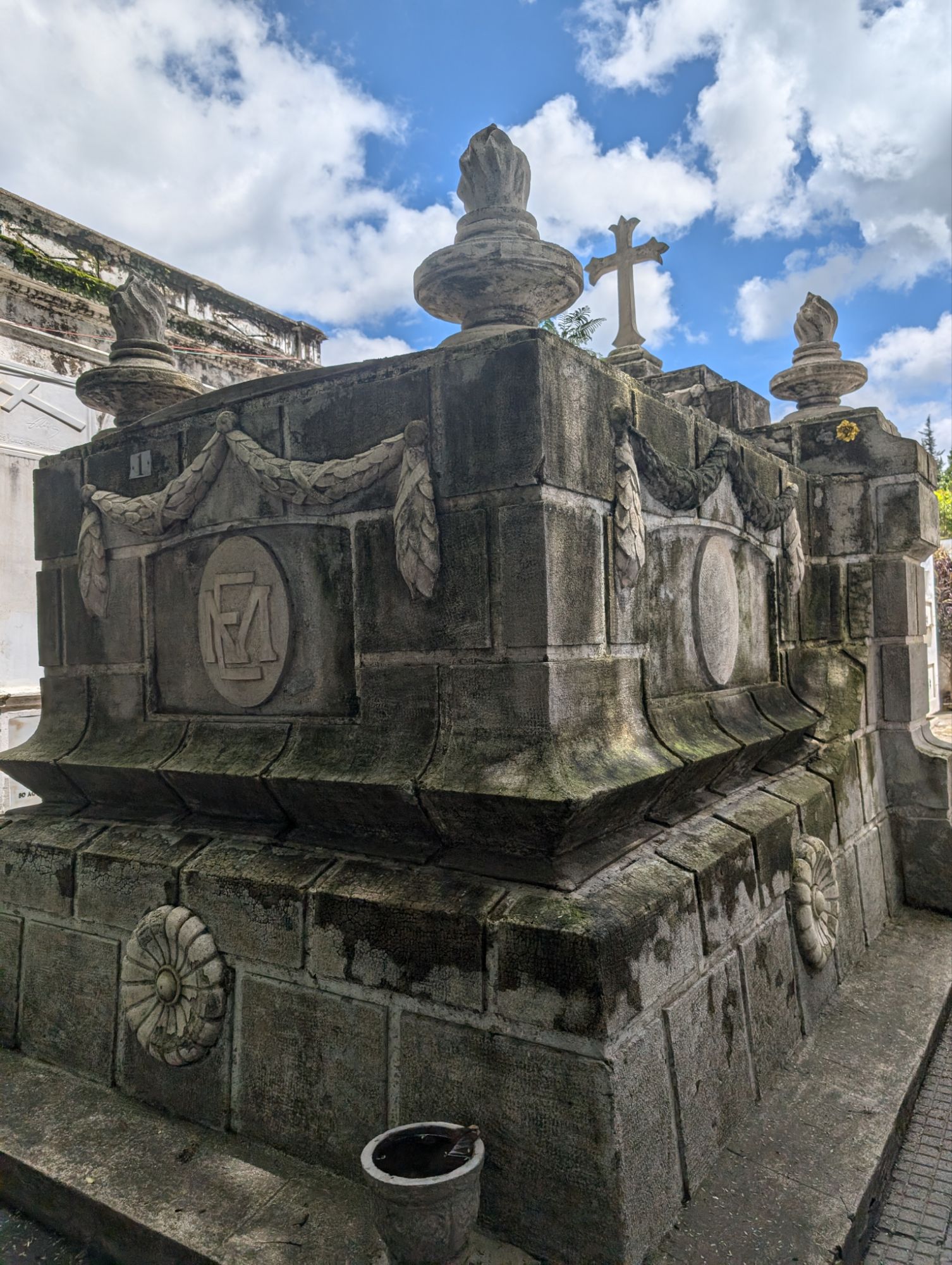
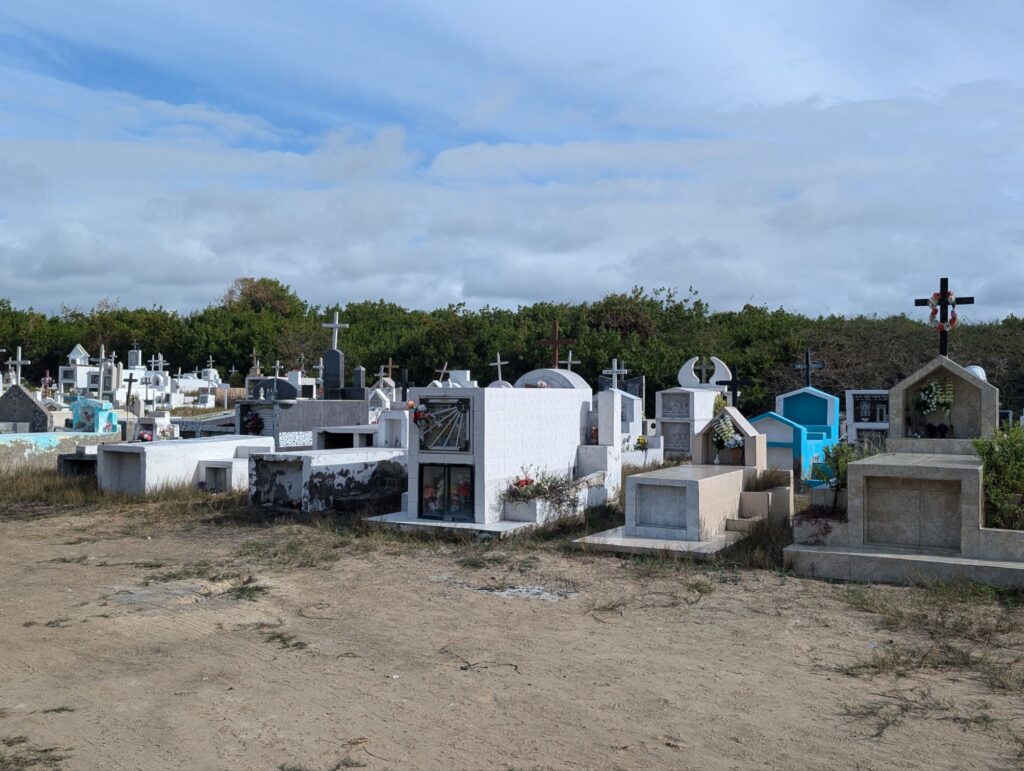
Cemetery (comentario general)
I find cemeteries peaceful and a look into the culture as well.
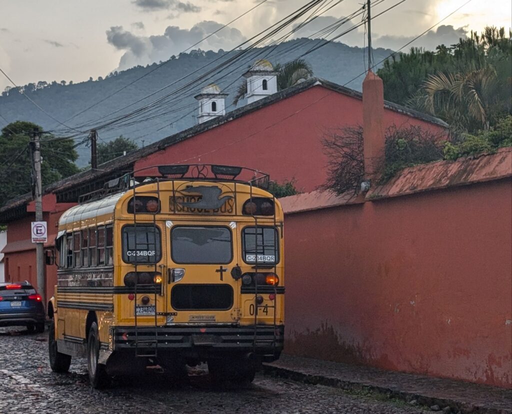
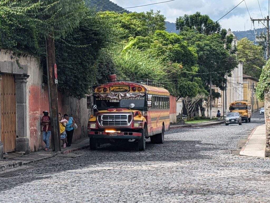
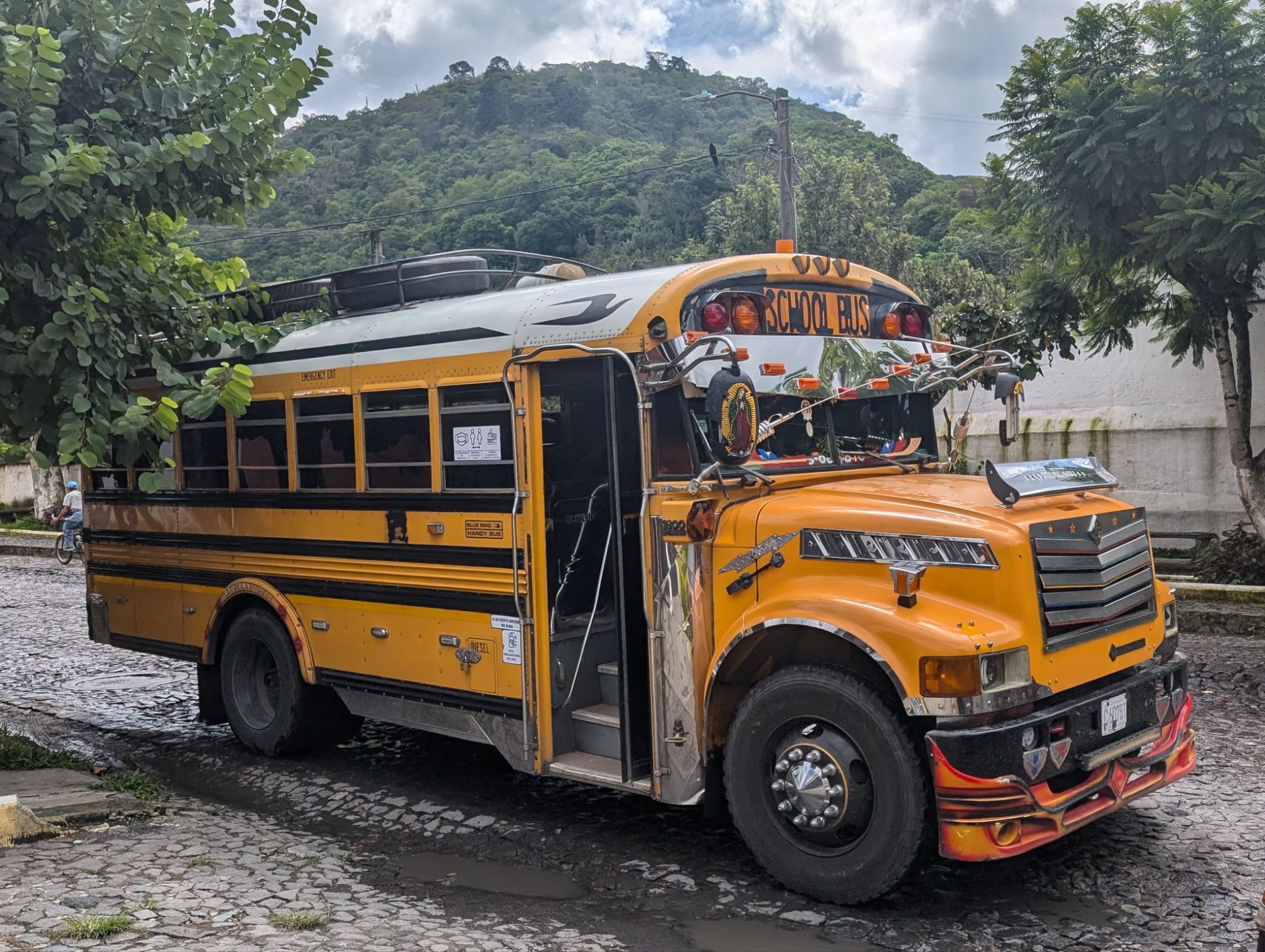
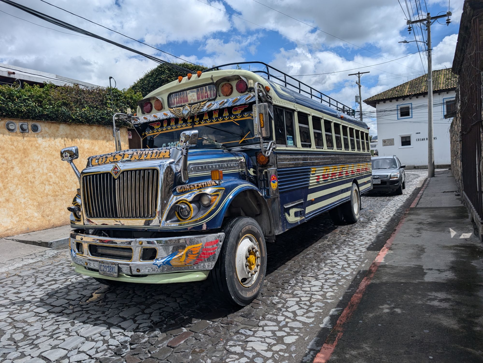
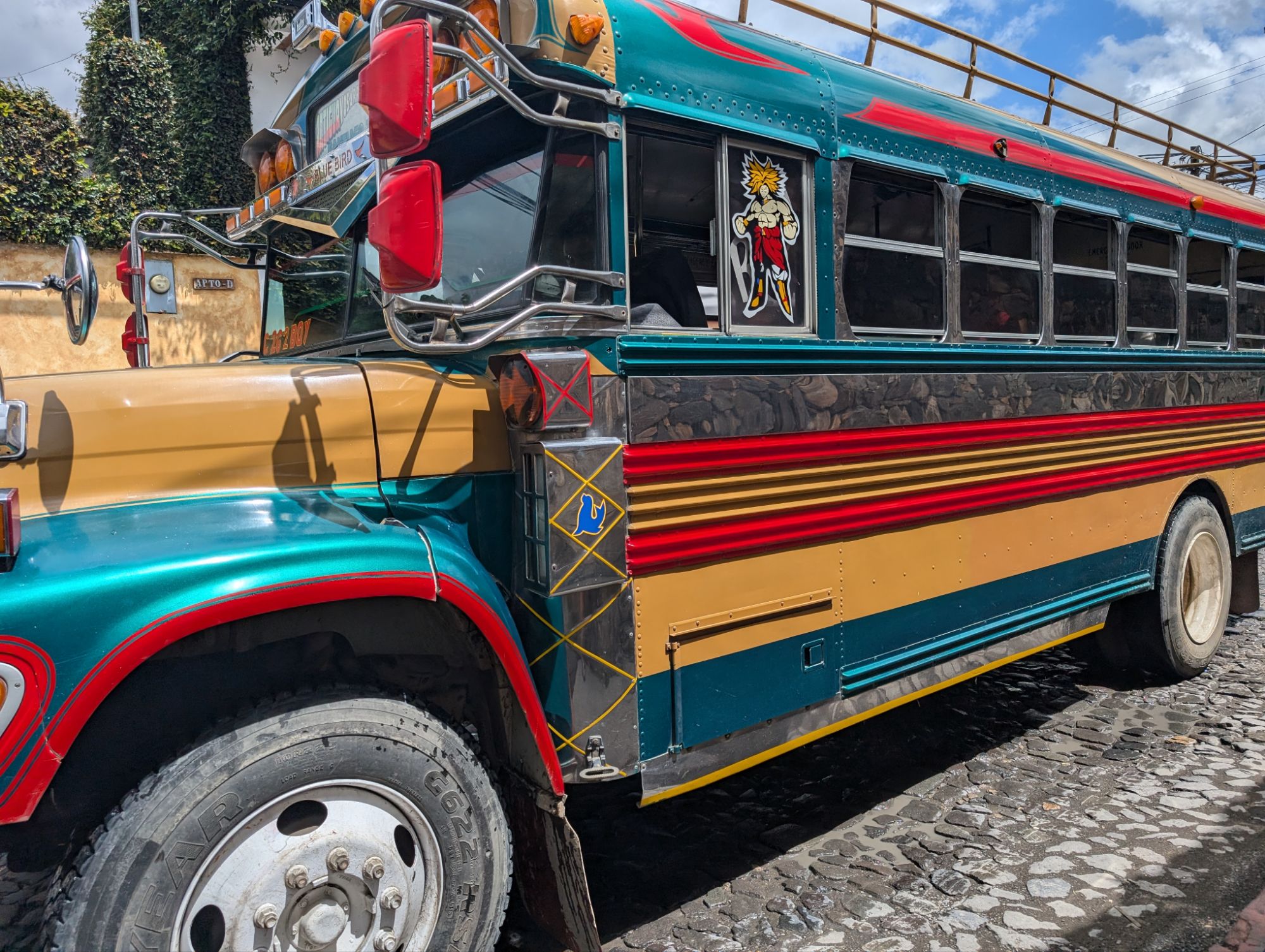
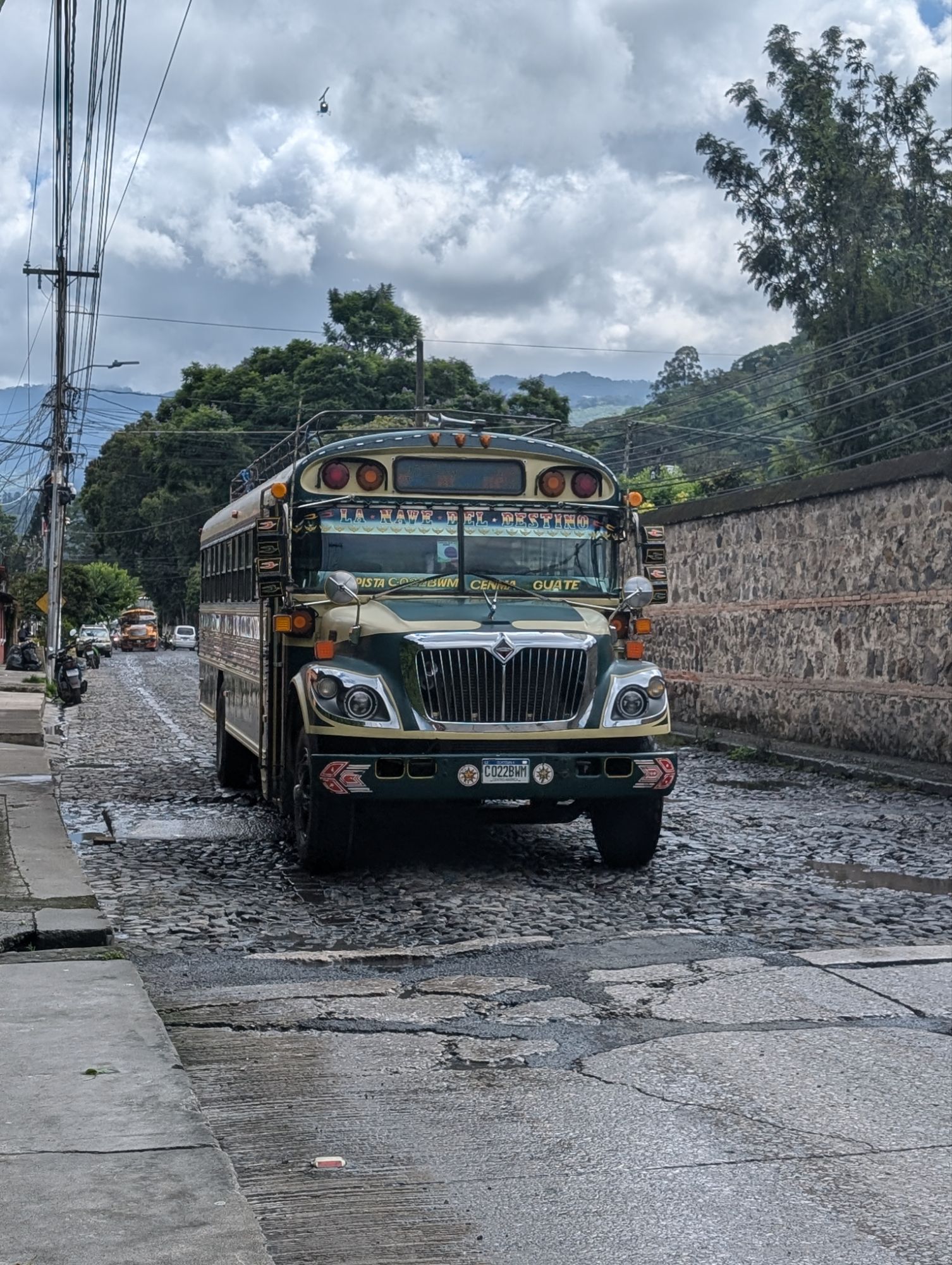
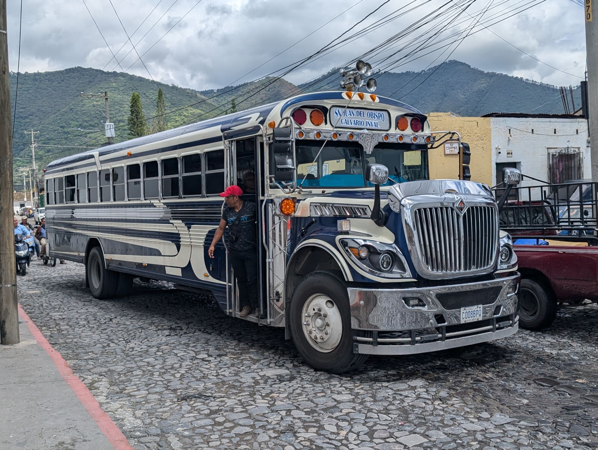
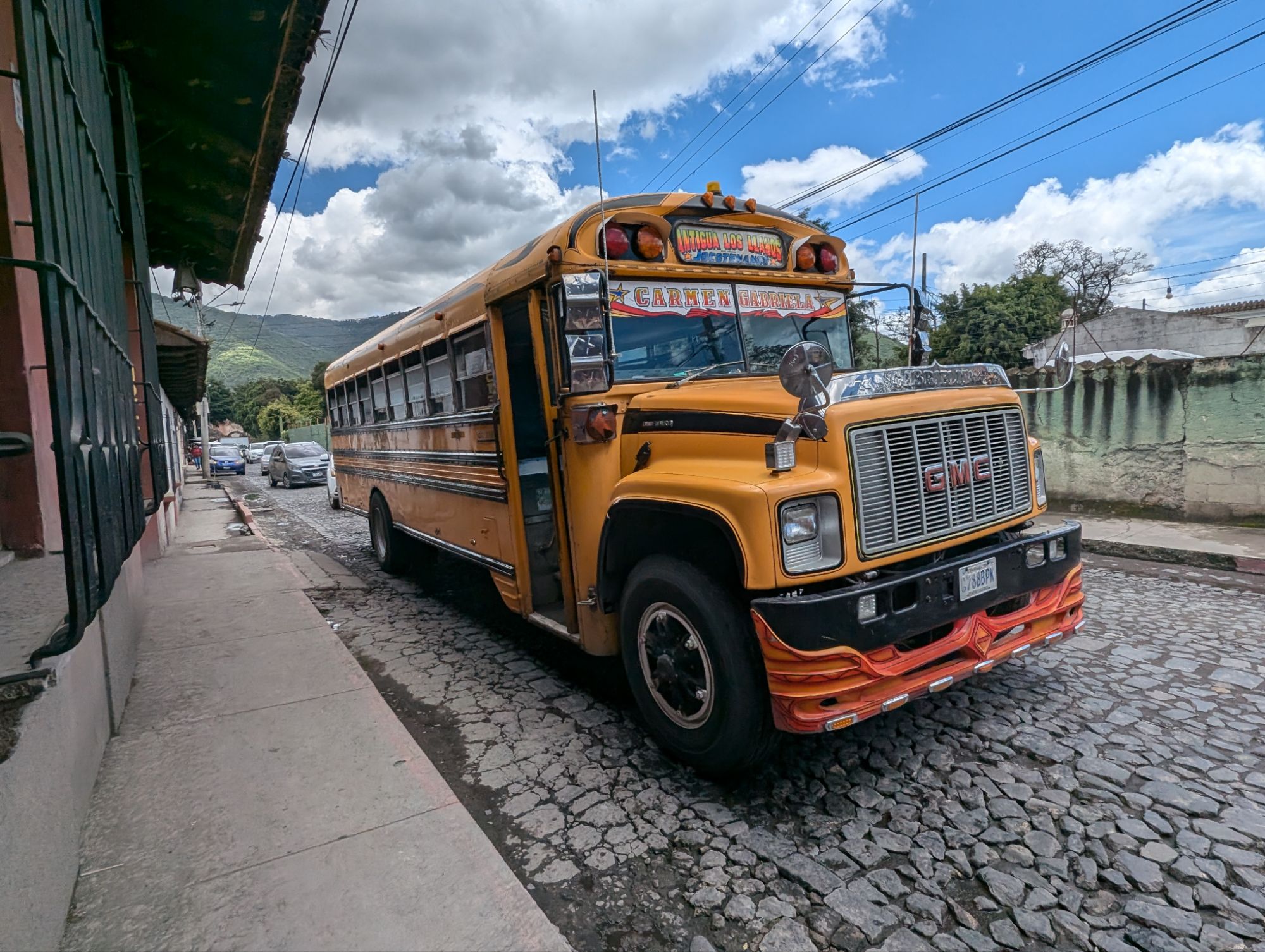
I loved seeing the school buses which are used as public transport. Each bus is decked out differently.
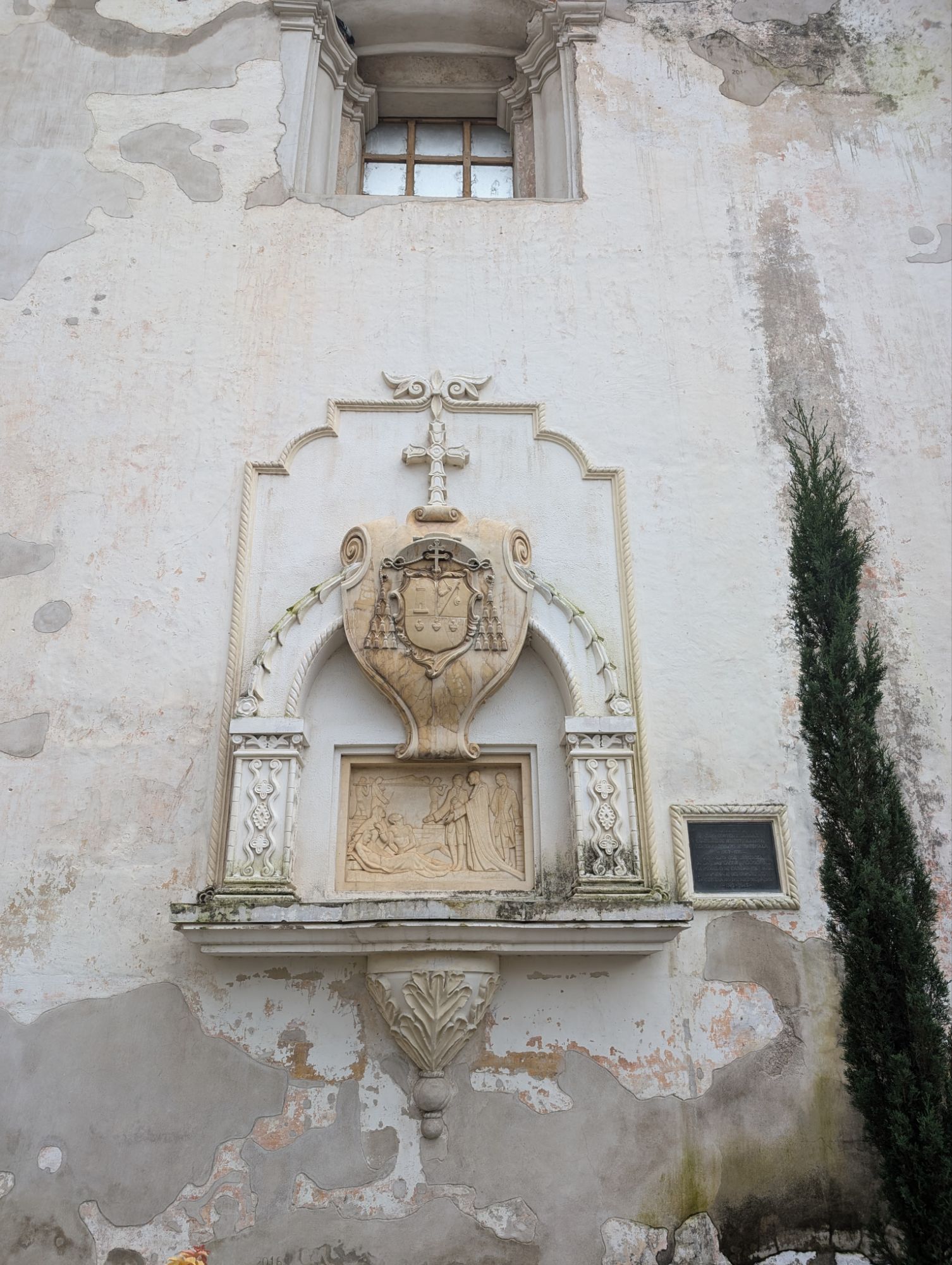
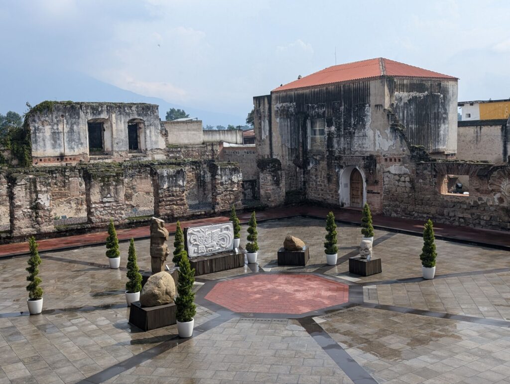
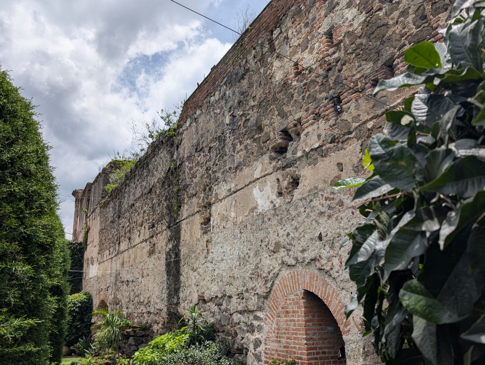
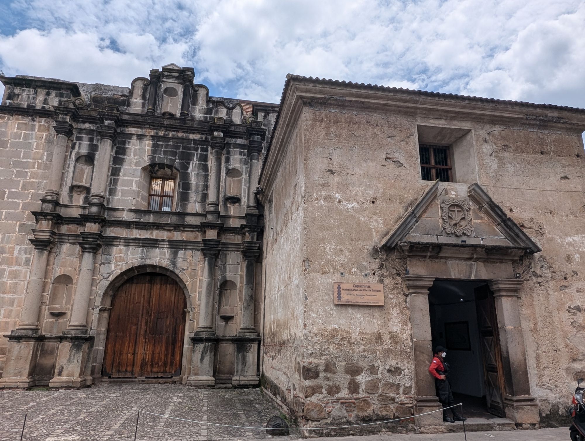
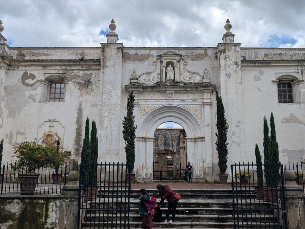
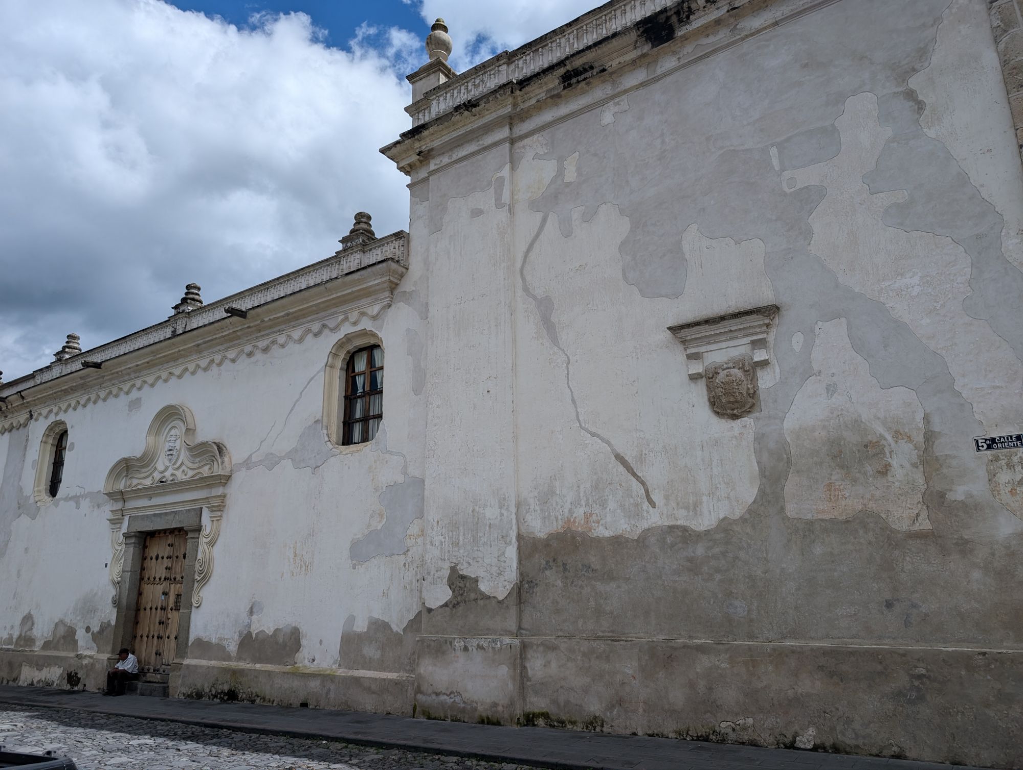
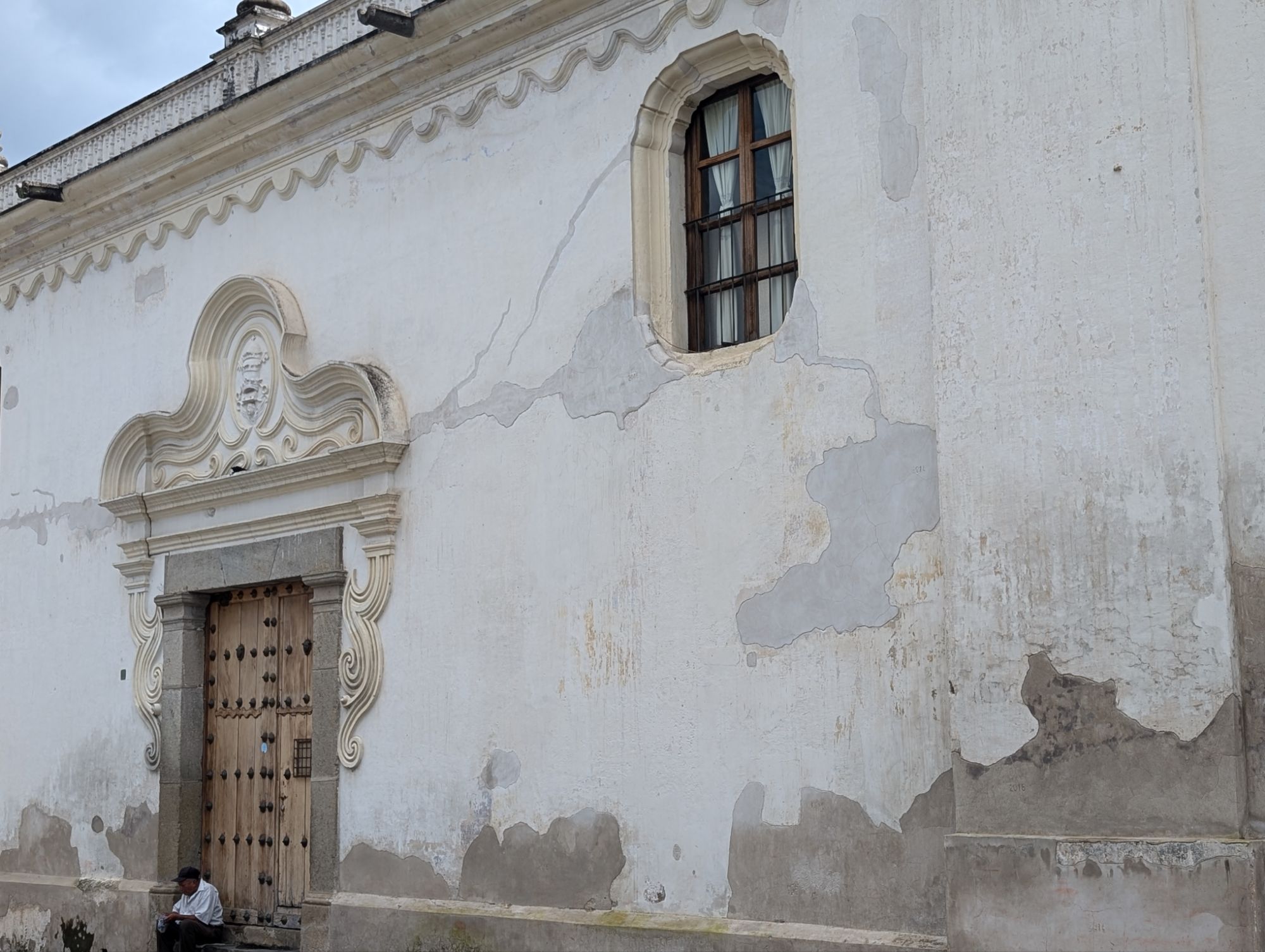
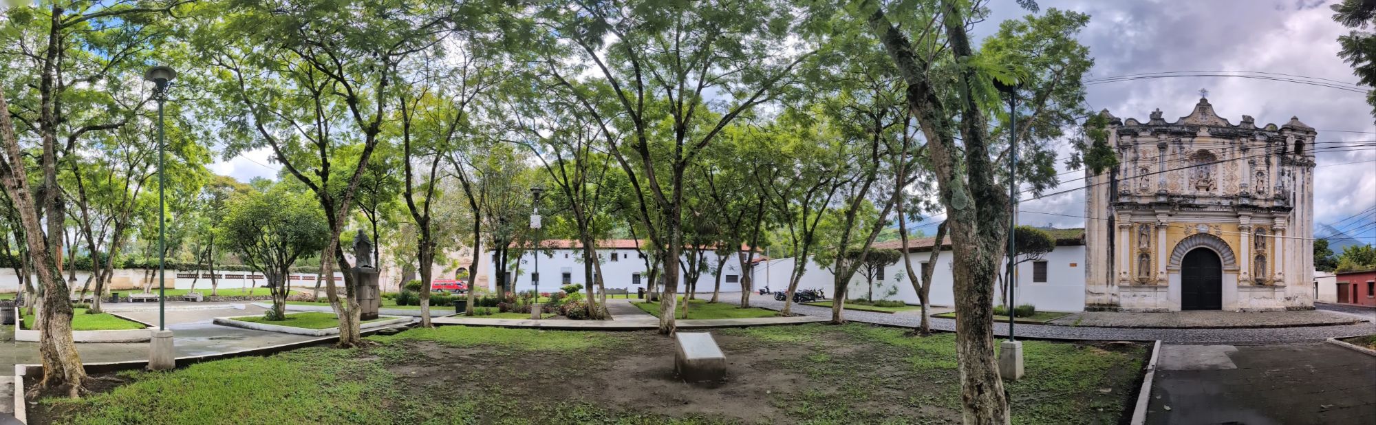
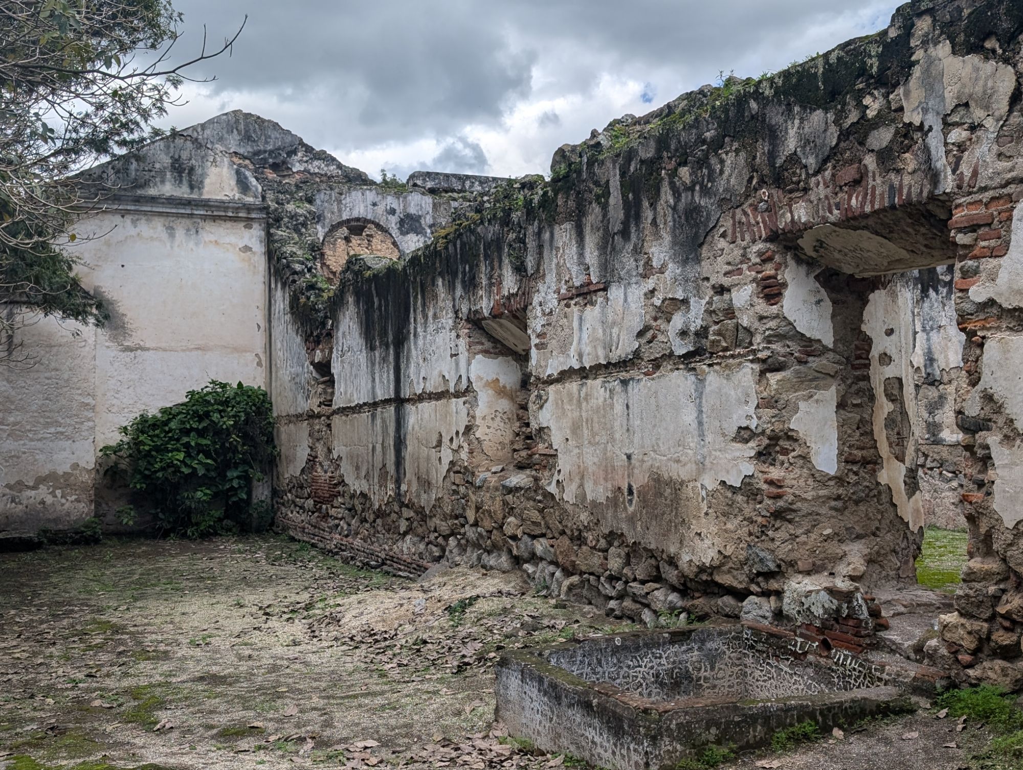
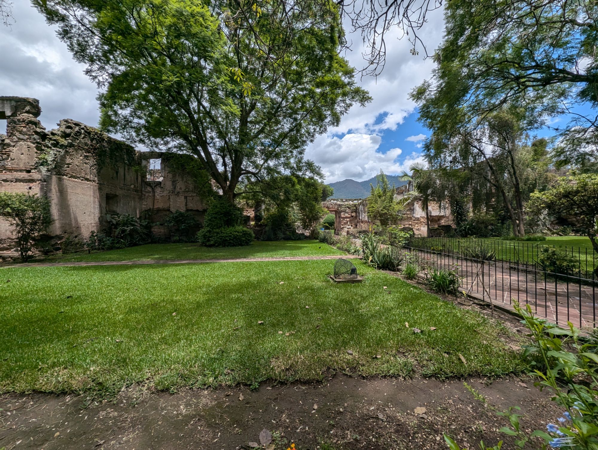
La recolección architectonic complex
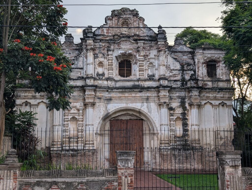
This site was originally a church and convent complex established by the Order of the Recollects in 1701 by the Recollects, a branch of the Franciscan order. The ruins are of the church, convent, and several other buildings there in the Spanish Baroque style.
Like many other buildings in Antigua, the La Recolección complex suffered significant damage from earthquakes especially the one in 1773. Over the years, it was used as a sports center, damaged by people being careless with the structures, and some demolition to prevent unstable walls from collapsing.
At one time a pool was installed in the 20th century. At the center of this pit is tiles that could have been part of the pool.
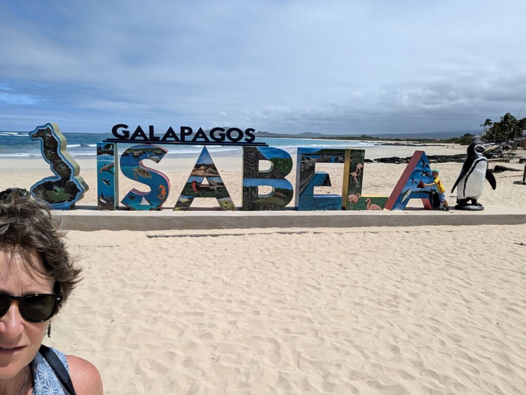
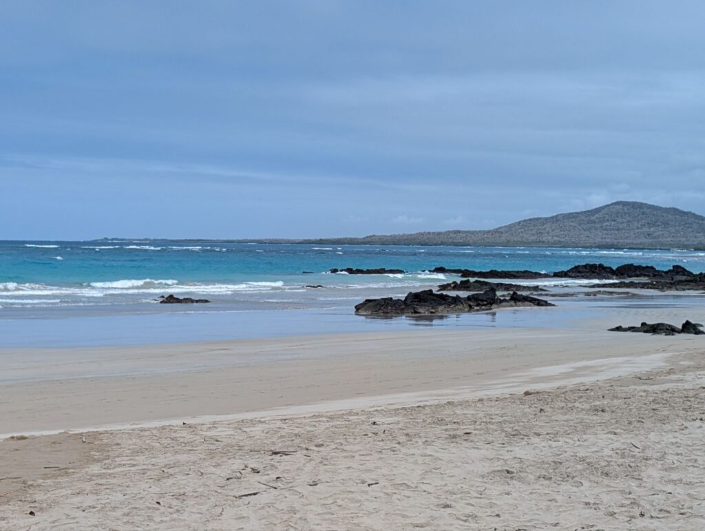
Isabela Island is the largest island in the Galapagos. Isabela was formed by the merging of six large shield volcanoes: Alcedo, Cerro Azul, Darwin, Ecuador, Sierra Negra, and Wolf. It is relatively young with an estimated age of around 1 million years. It was named after Queen Isabela I from Castile.
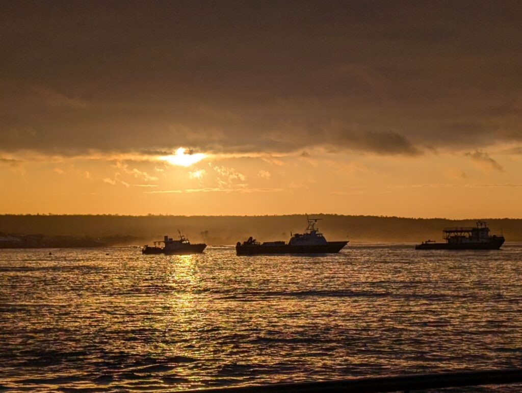
Sunrise on Santa Cruz before leaving for Isabela on the ferry
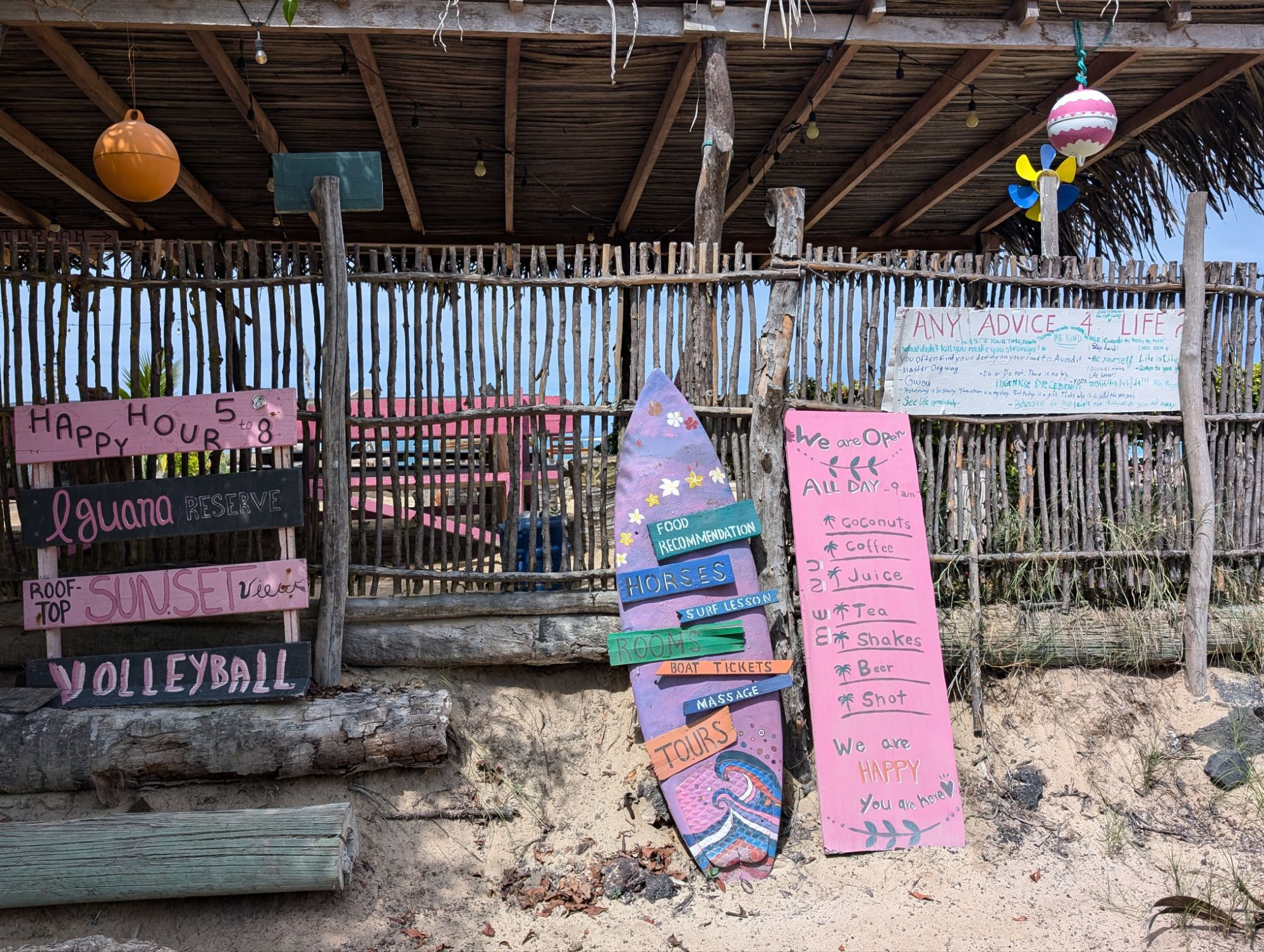
Of the three islands it is pretty chill and a great place to relax.
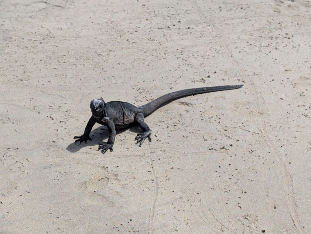
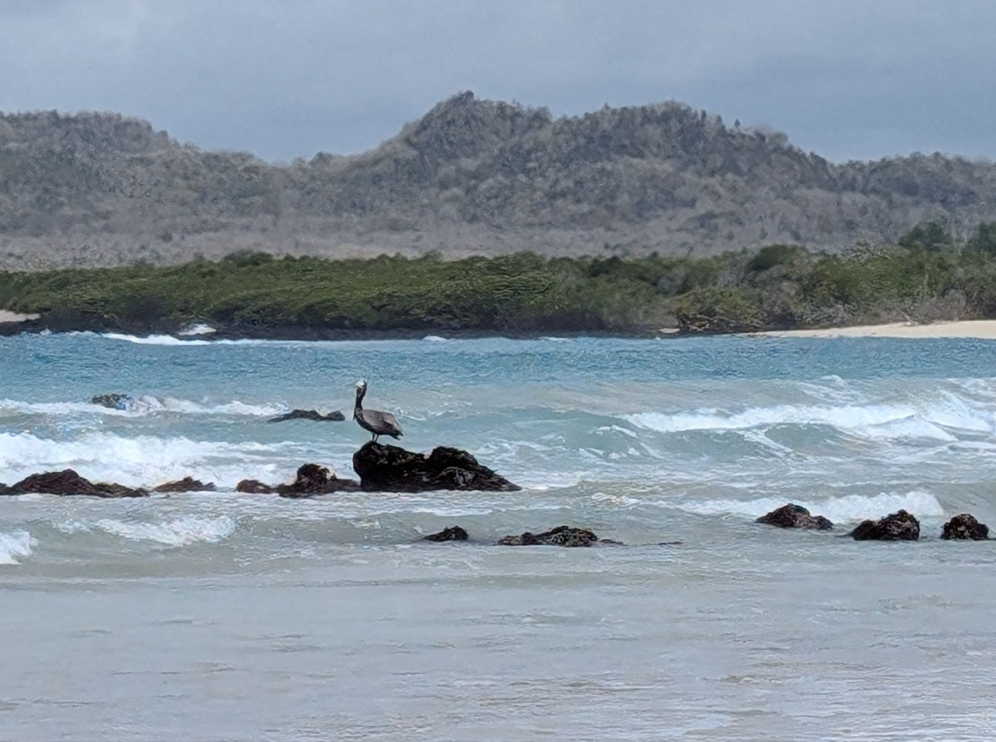
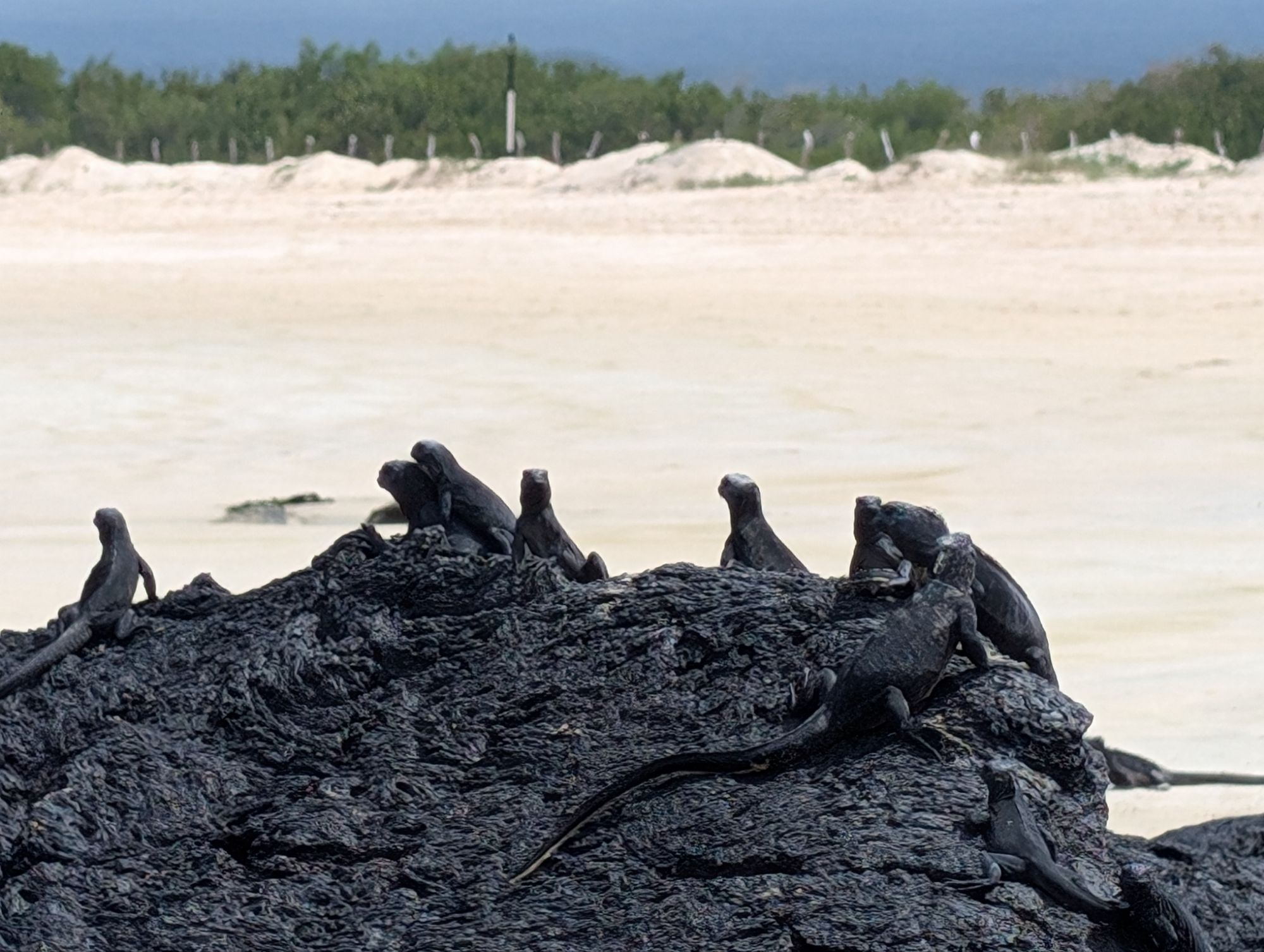
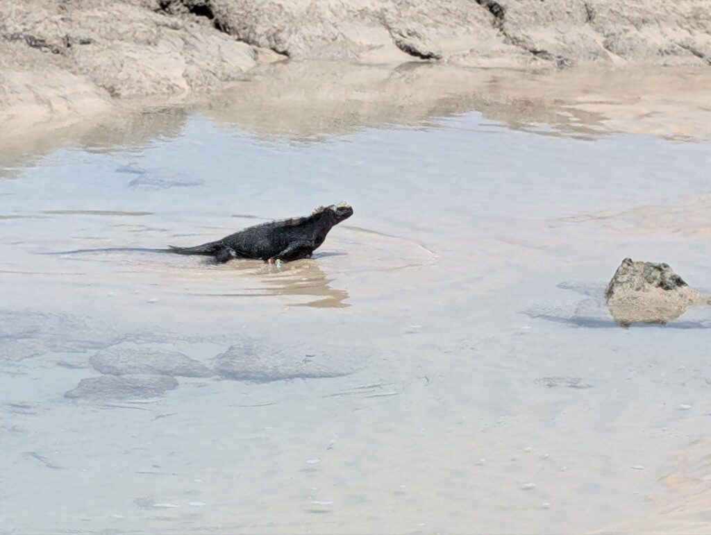
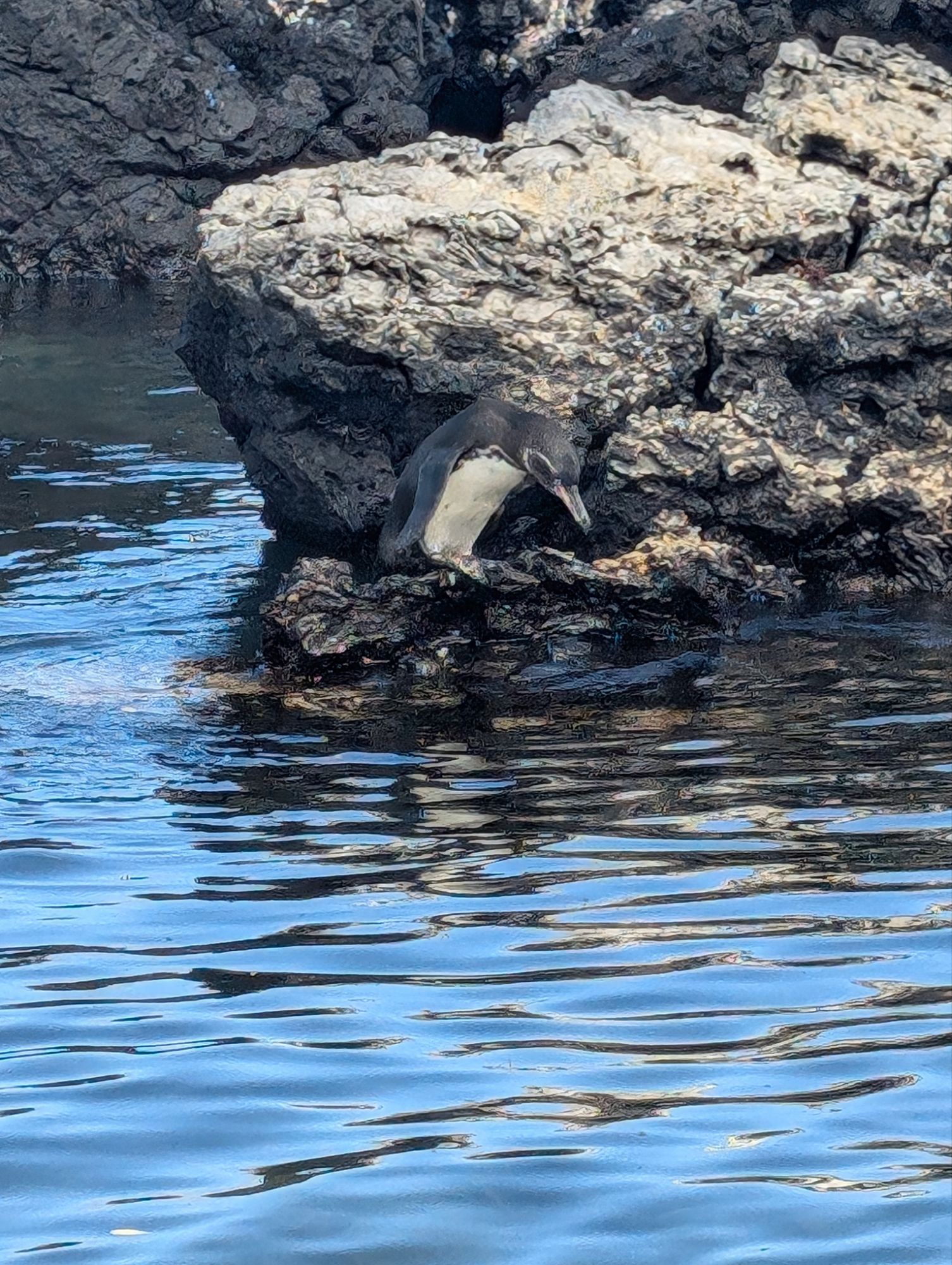
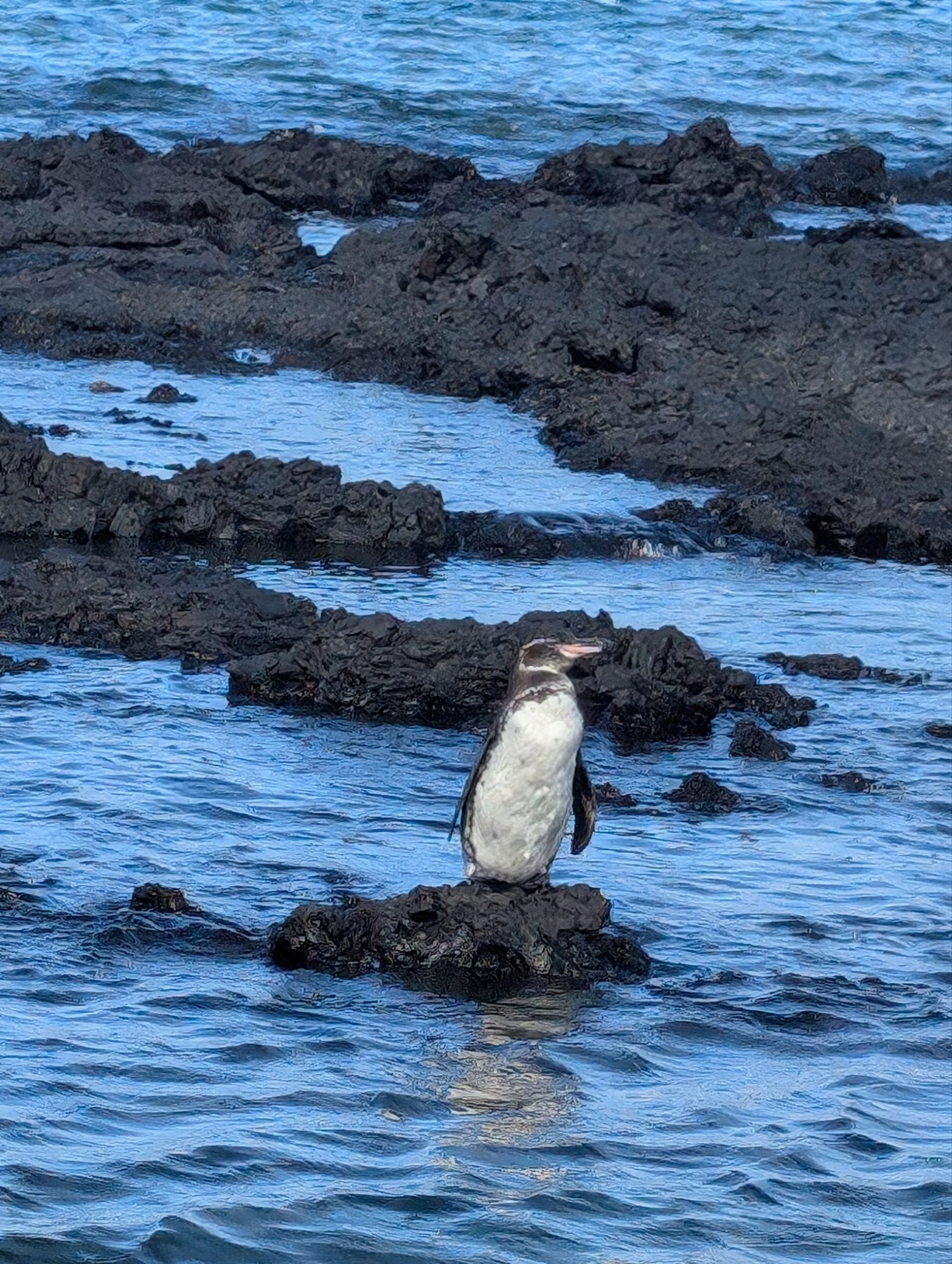
The island is known for its rich biodiversity, including several species of tortoises, iguanas, penguins, and flightless cormorants.
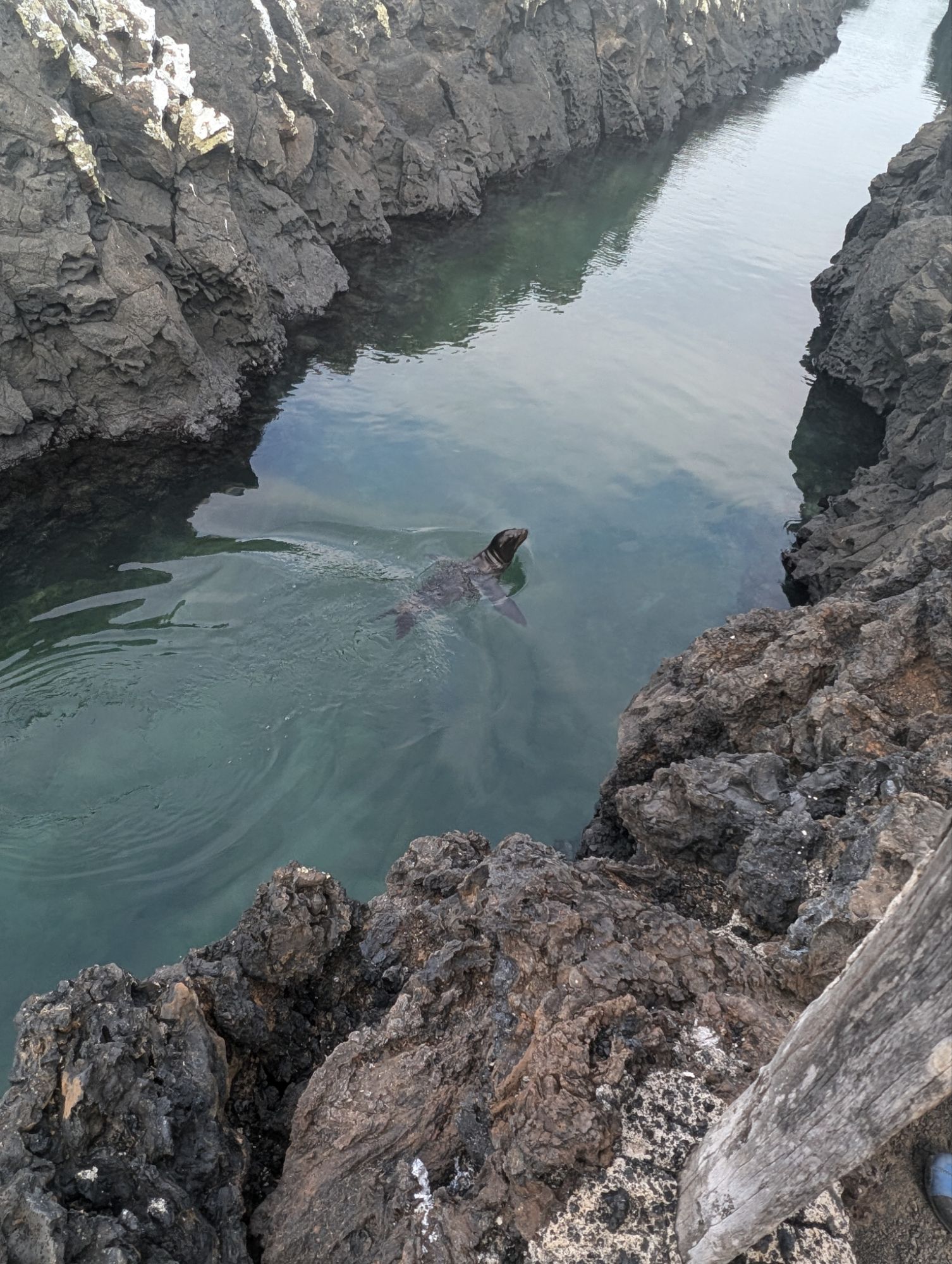
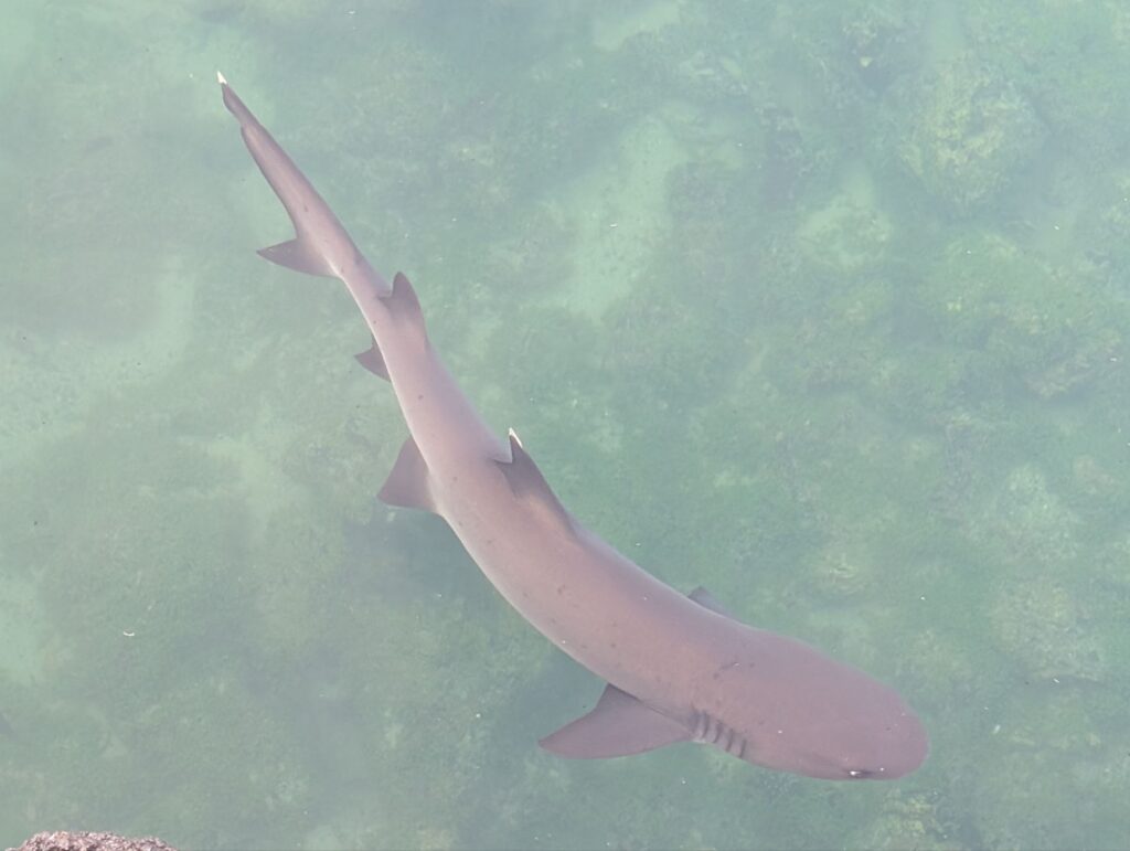
Las Tintoreras tour
Our guide took us on a boat around the harbor, then on a part of the island that is volcanic rock. From here there are underground tunnels or tubes from flows of lava to snorkel in and see turtles, sharks, and penguins.
I didn’t snorkel but did give my camera to the guide. I might have to come back again since I have found how to move around the islands. Here are some videos from the snorkeling.
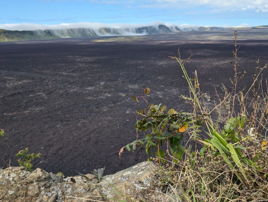
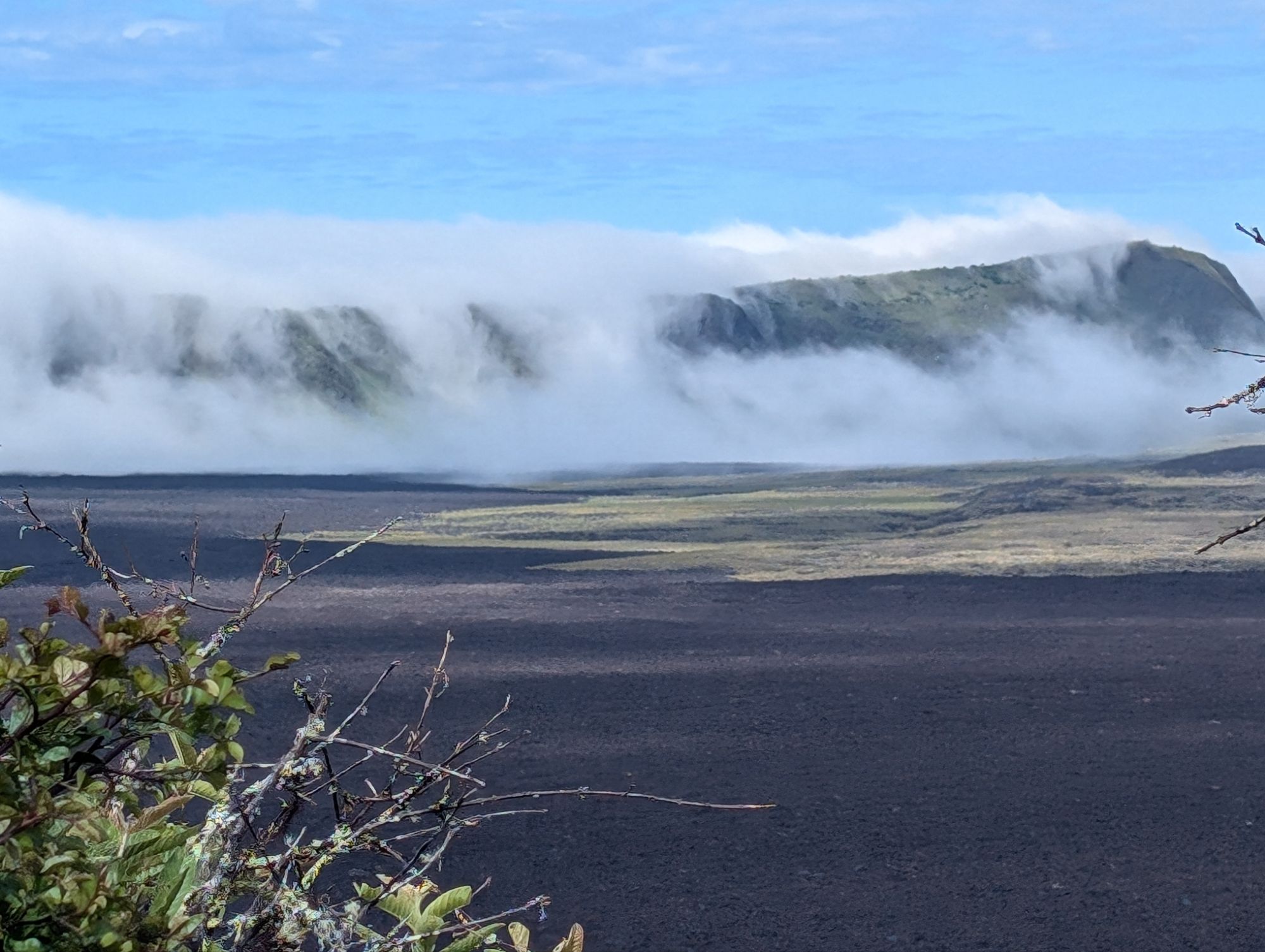
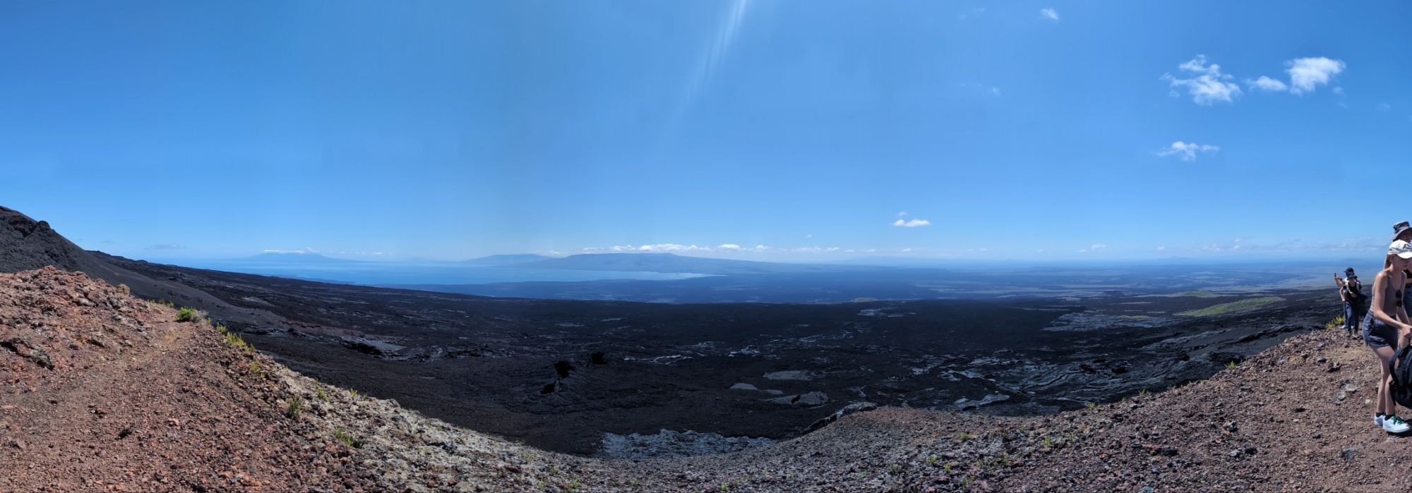
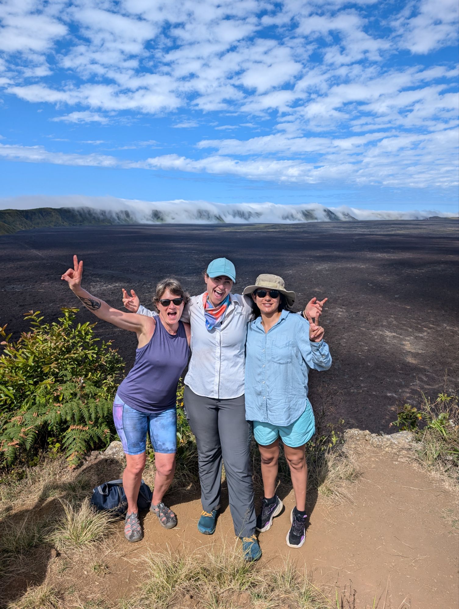
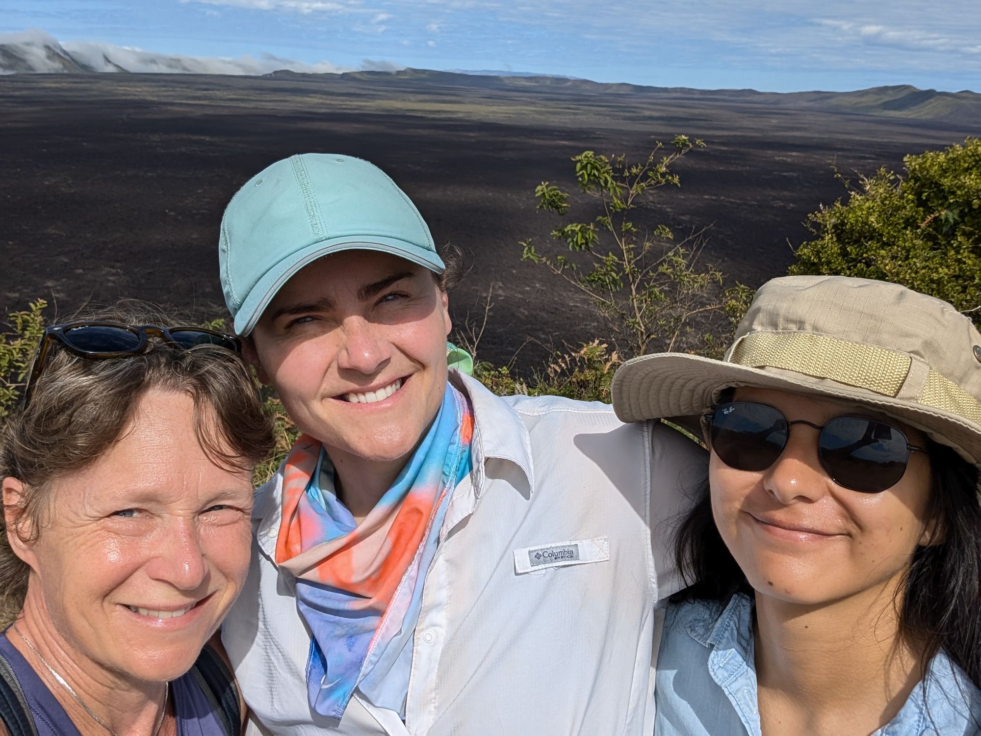
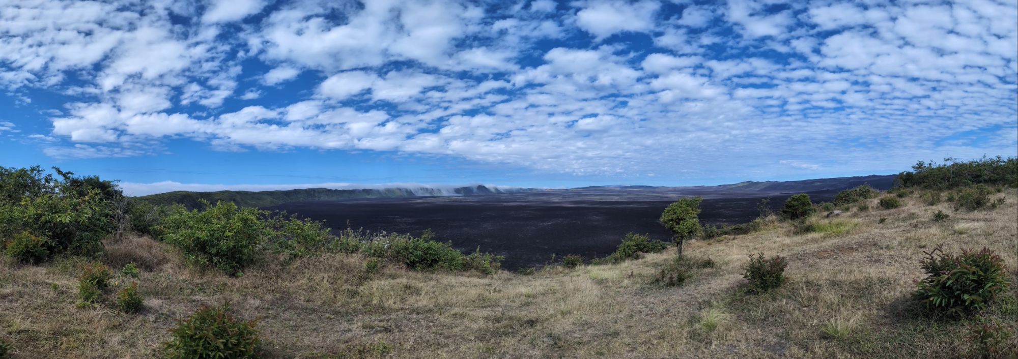
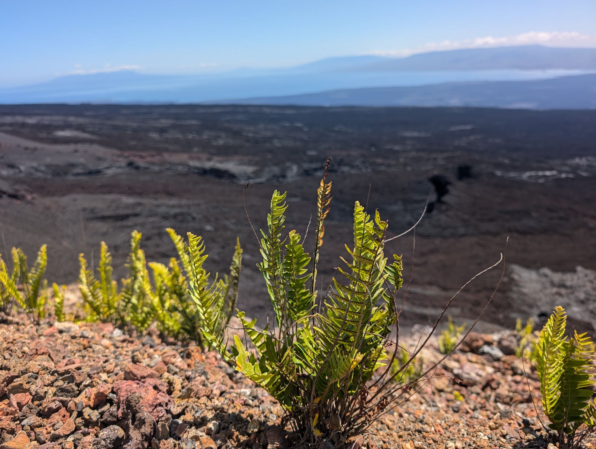
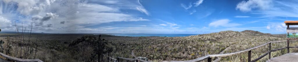
Sierra Negra Volcano, which has one of the world’s largest volcanic craters. Its just eruption was in 2018 and each eruption gives valuable information on impact. It is a shield volcano with broad and slow rising slopes and lava flows with less velocity. The caldera is 10 km wide. The volcano collapsed into the caldera and subsequent lava flows have changed the landscape more.
The hike is 16 km total and goes out then back around part of the rim.
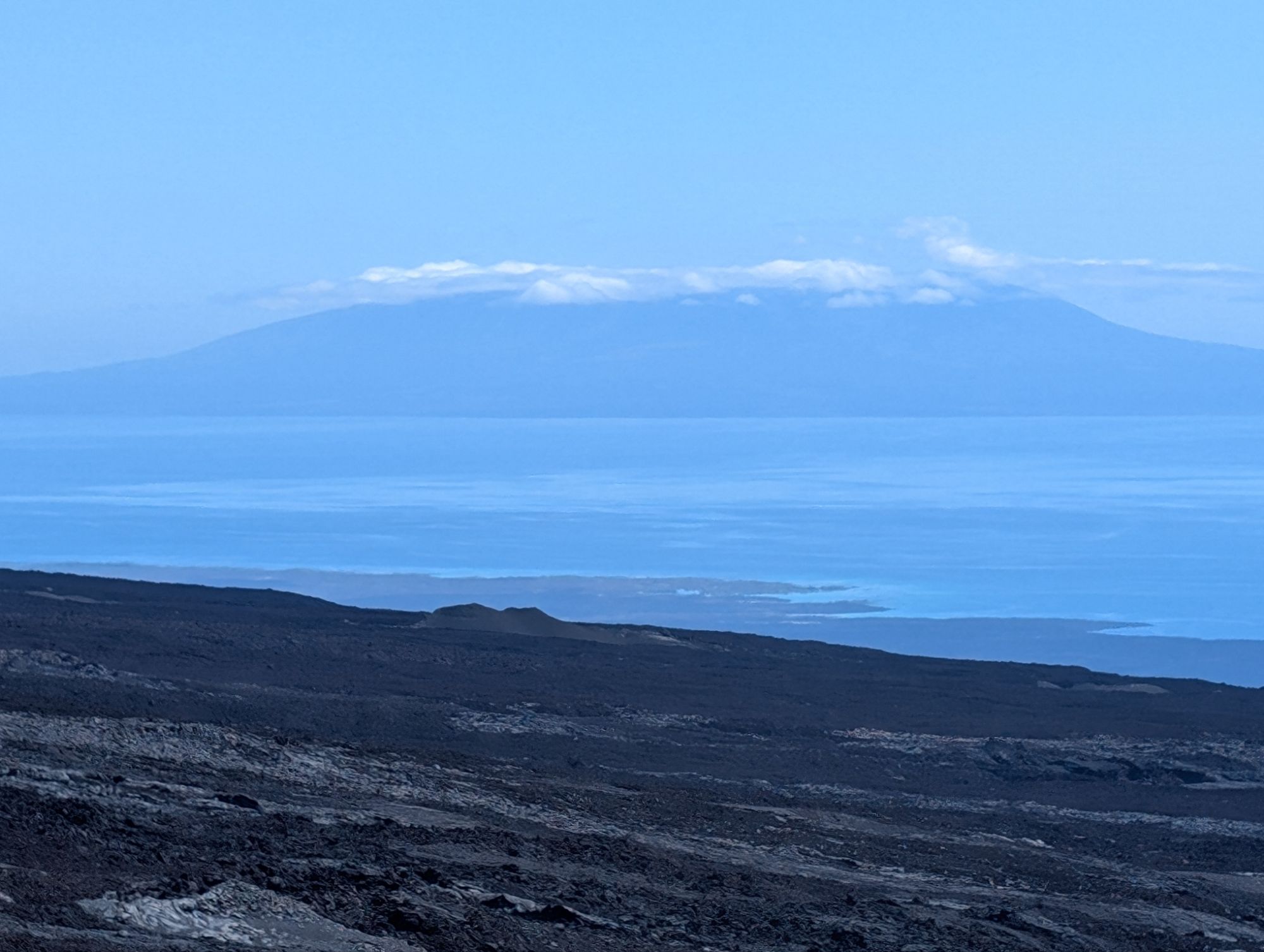
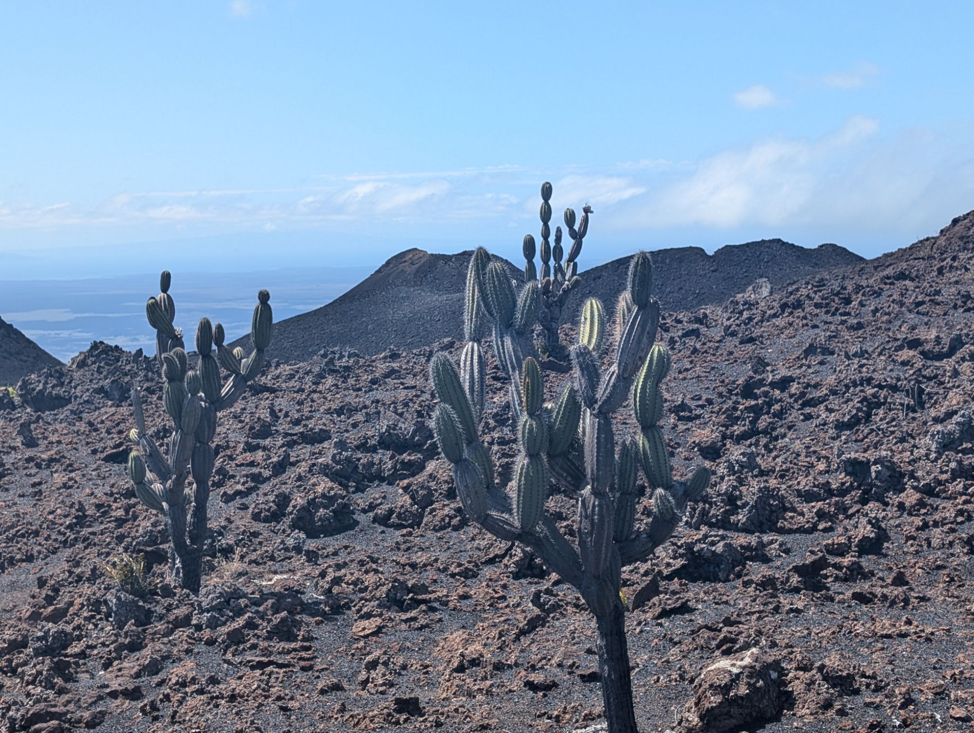
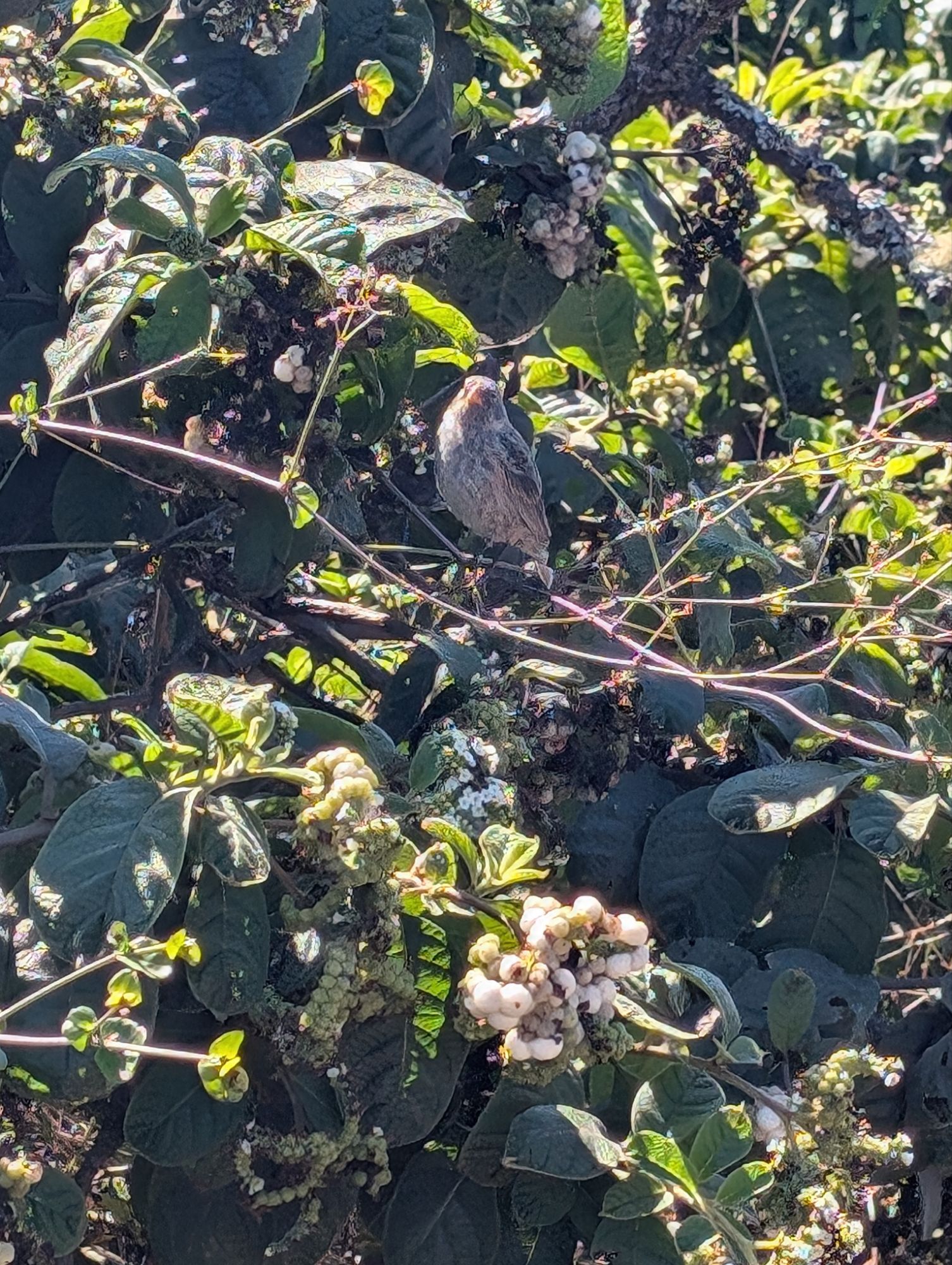
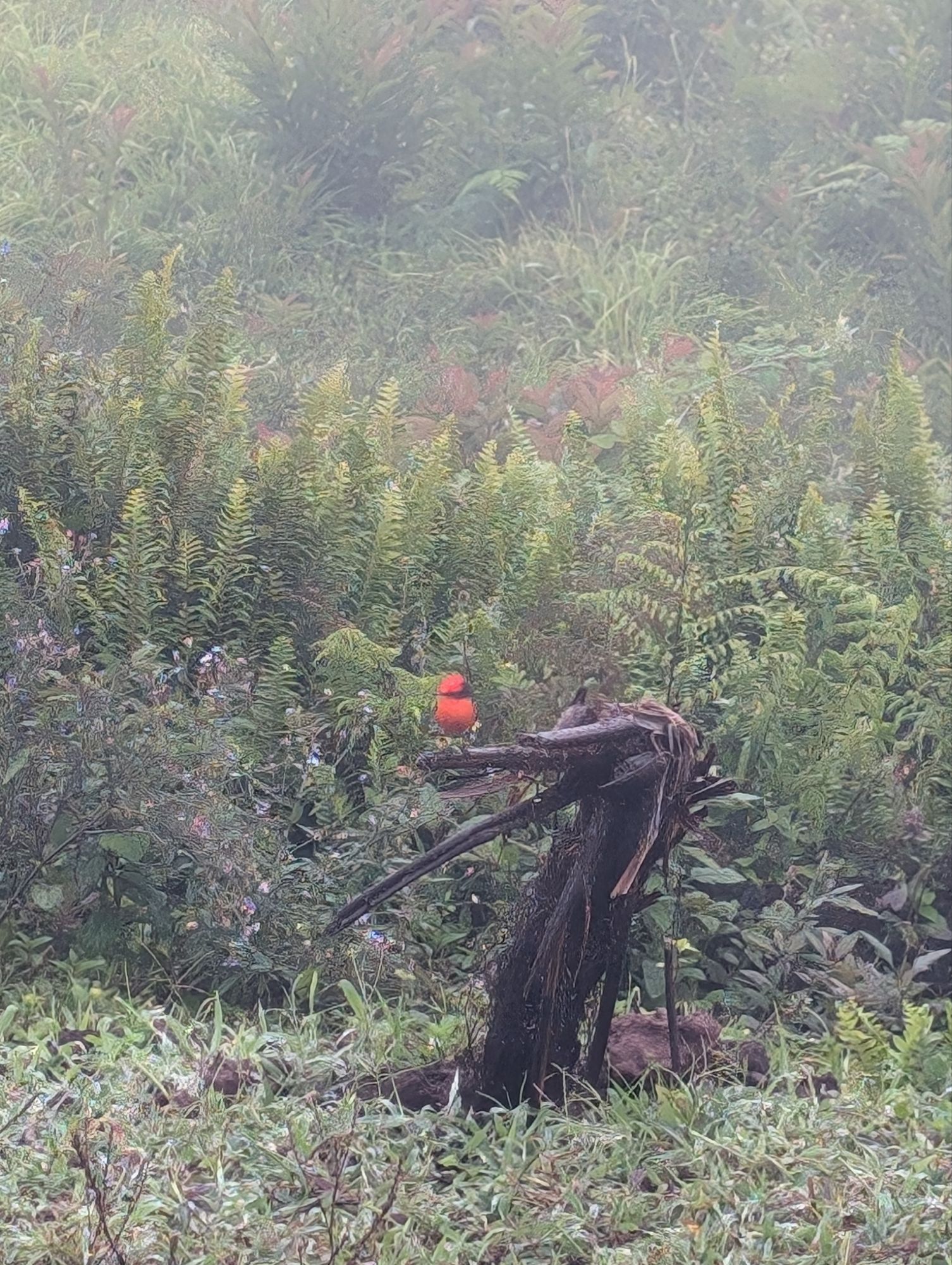
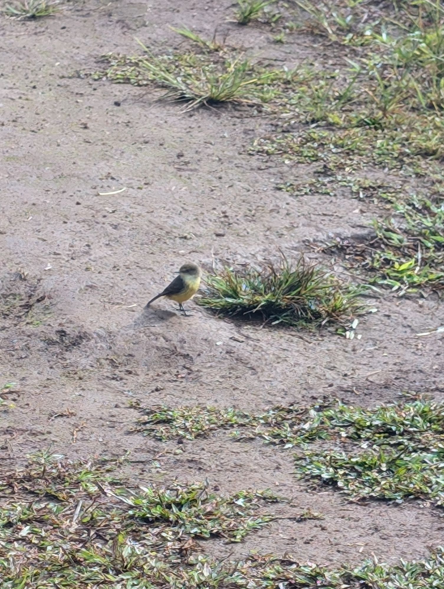
The crater where the dome collapsed and lava flows continued after later eruptionsA couple of friends from Quito were also here in the GalapagosThis is actually one of the youngest islands in the Galapagos. Fernandina is only a few kilometers away from Isabela and is one of the most active volcanoes here.It is amazing to see such different rocks from each kind of lava flow and life here.Darwin finchVermillion flycatcherYellow warblerDarwin finch
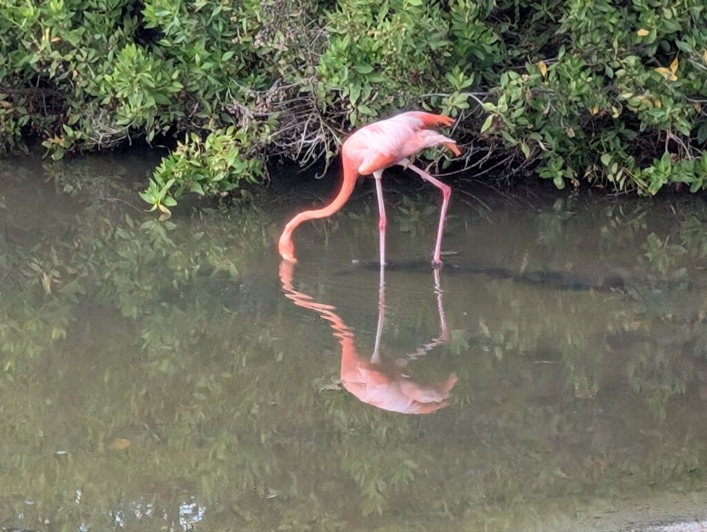
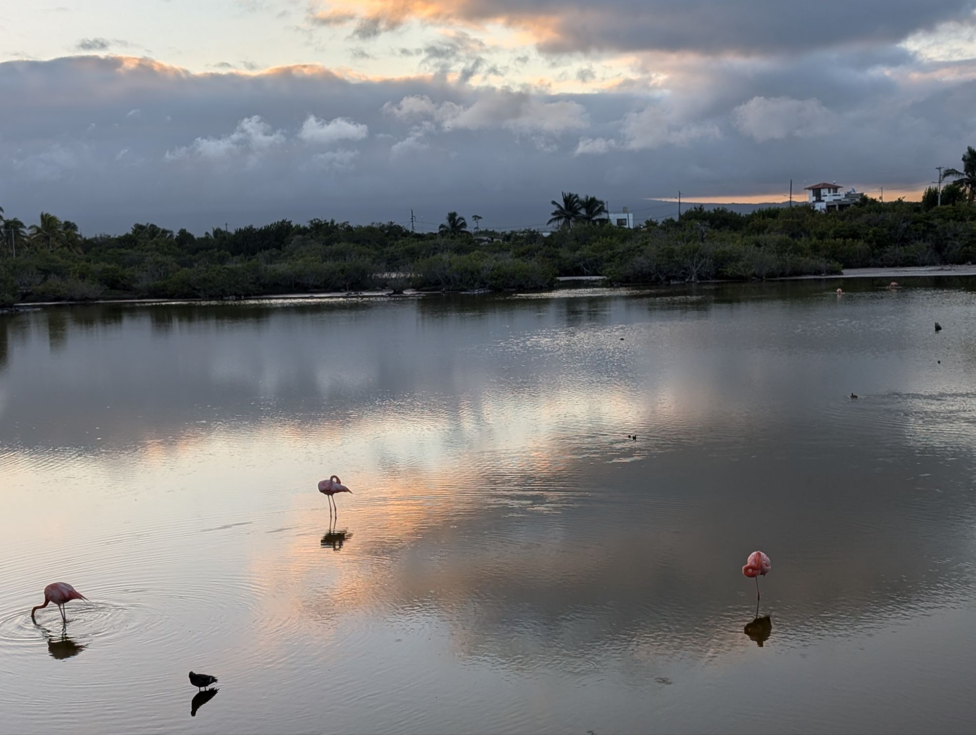
Poza de los flamingos
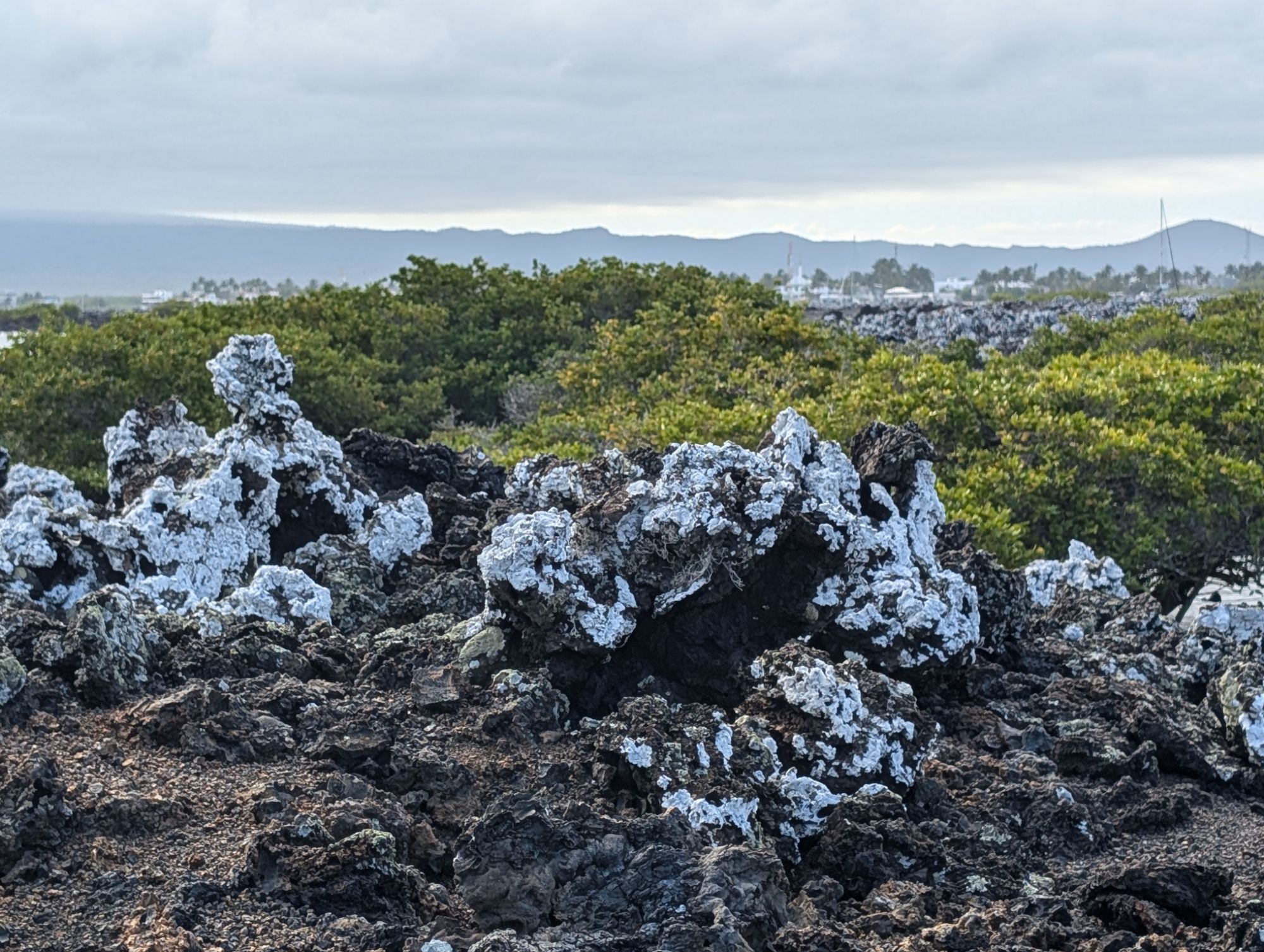
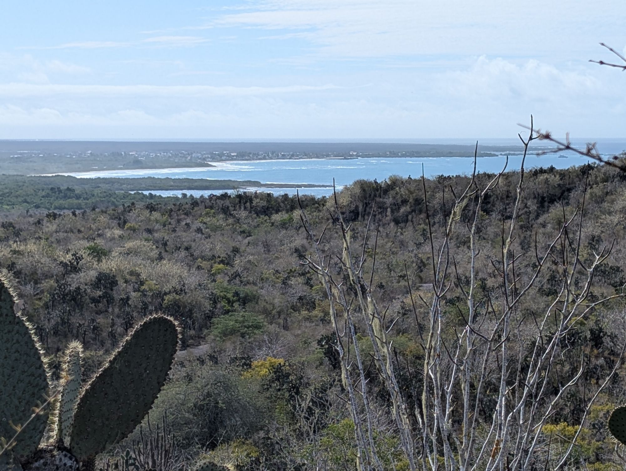
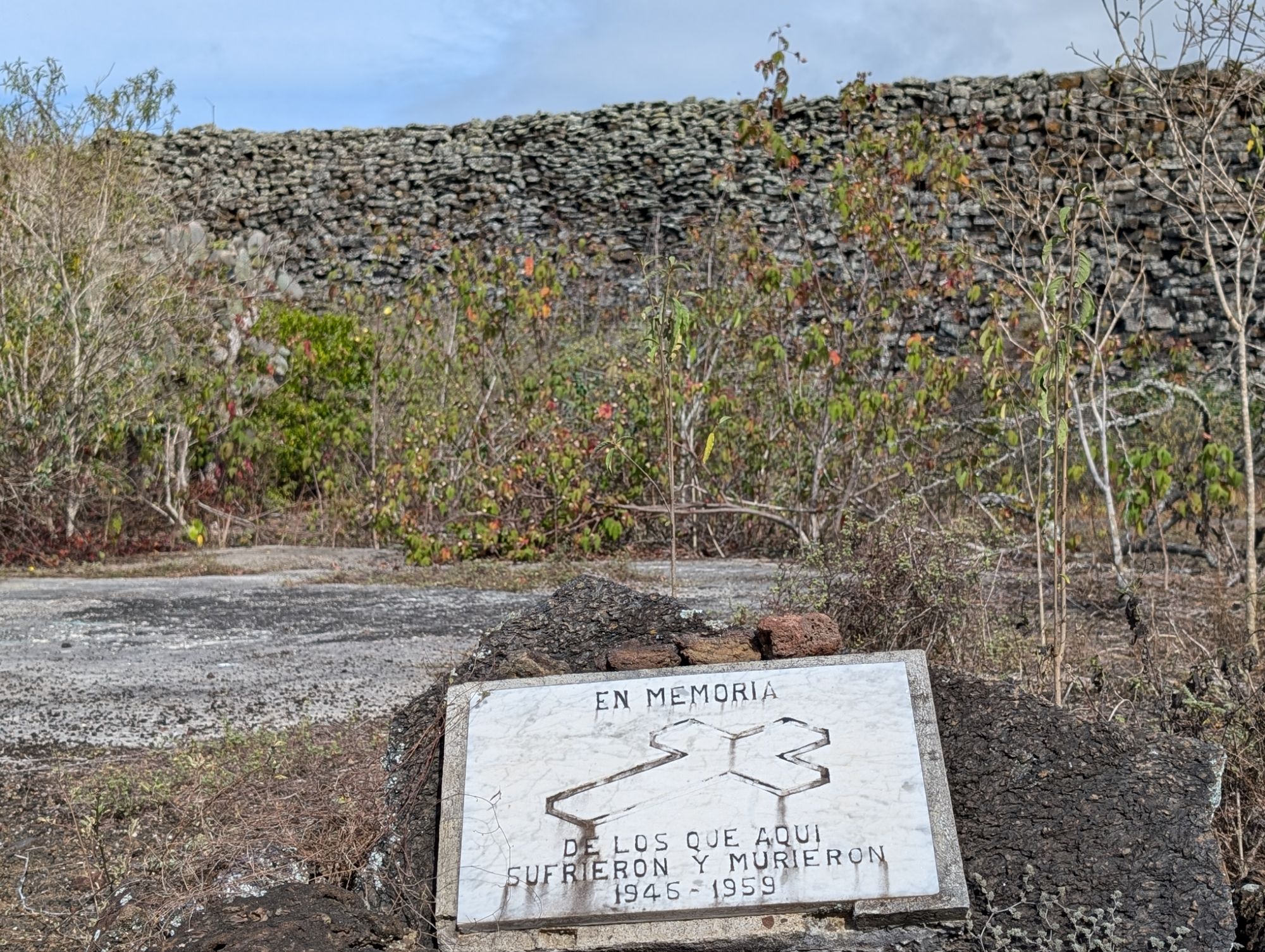
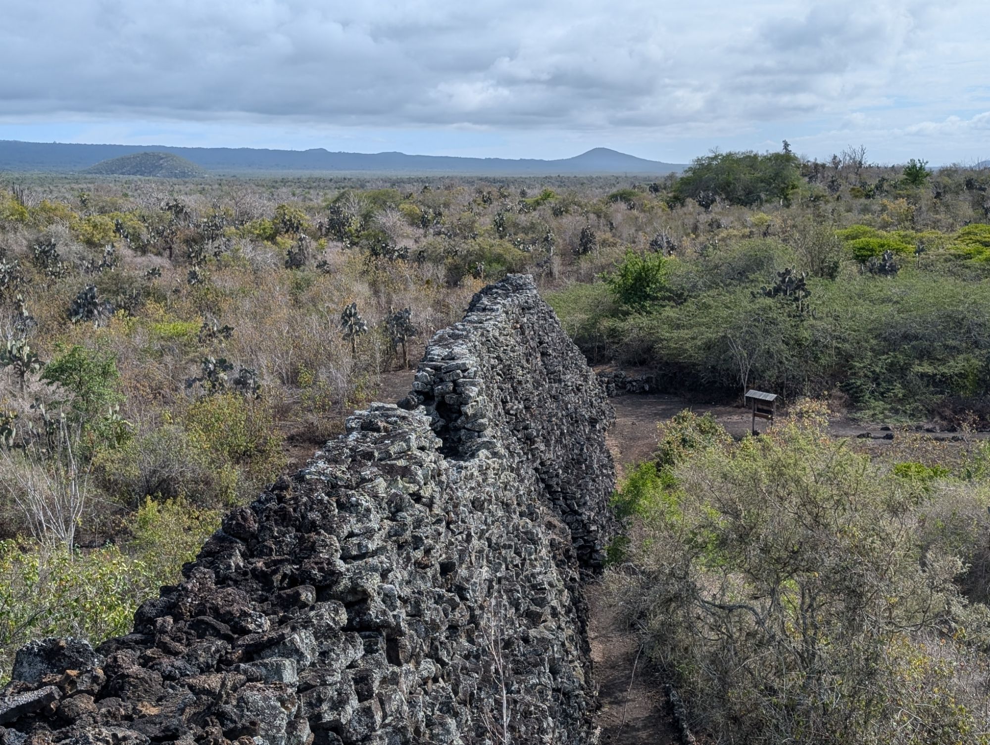
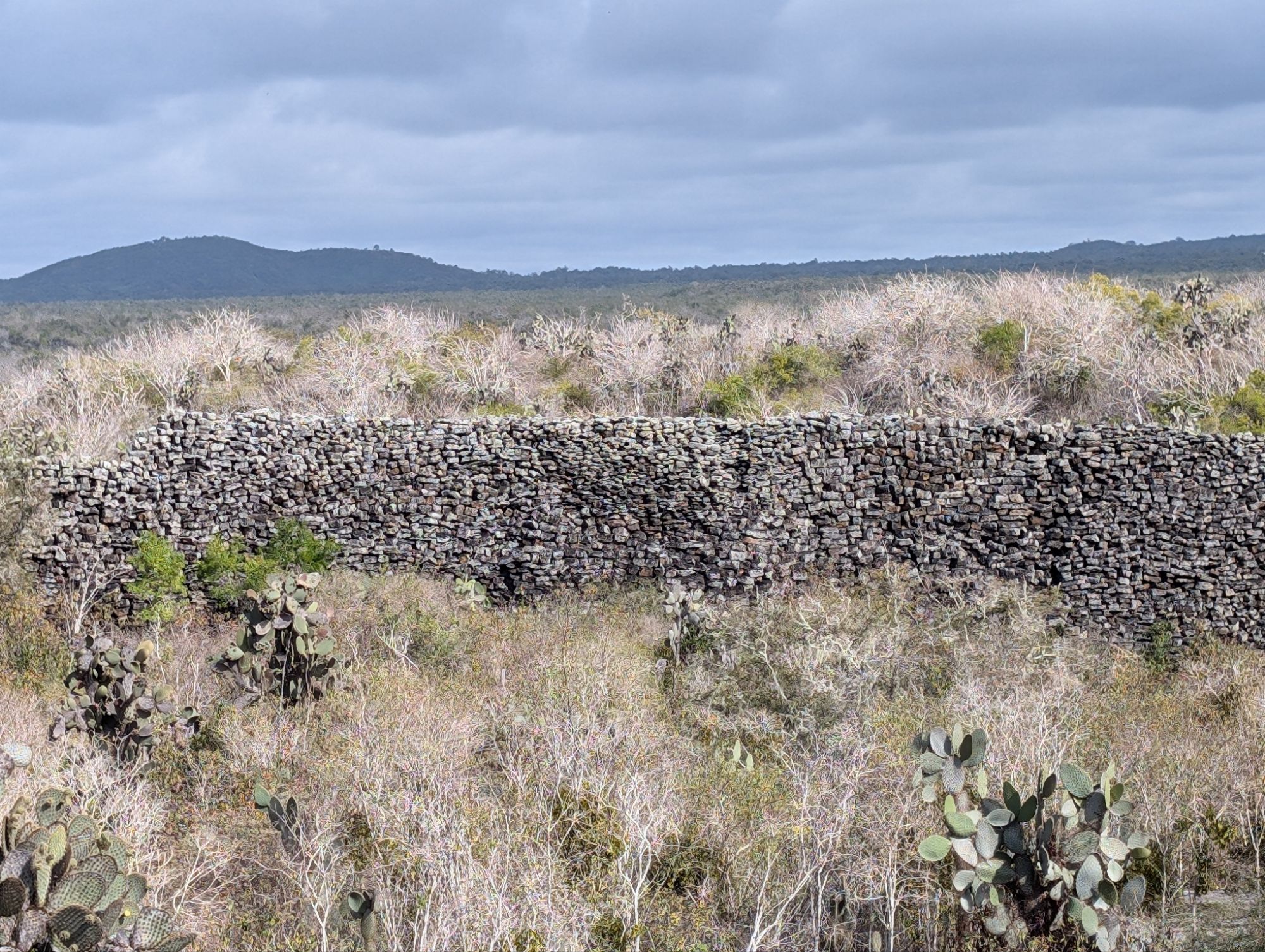
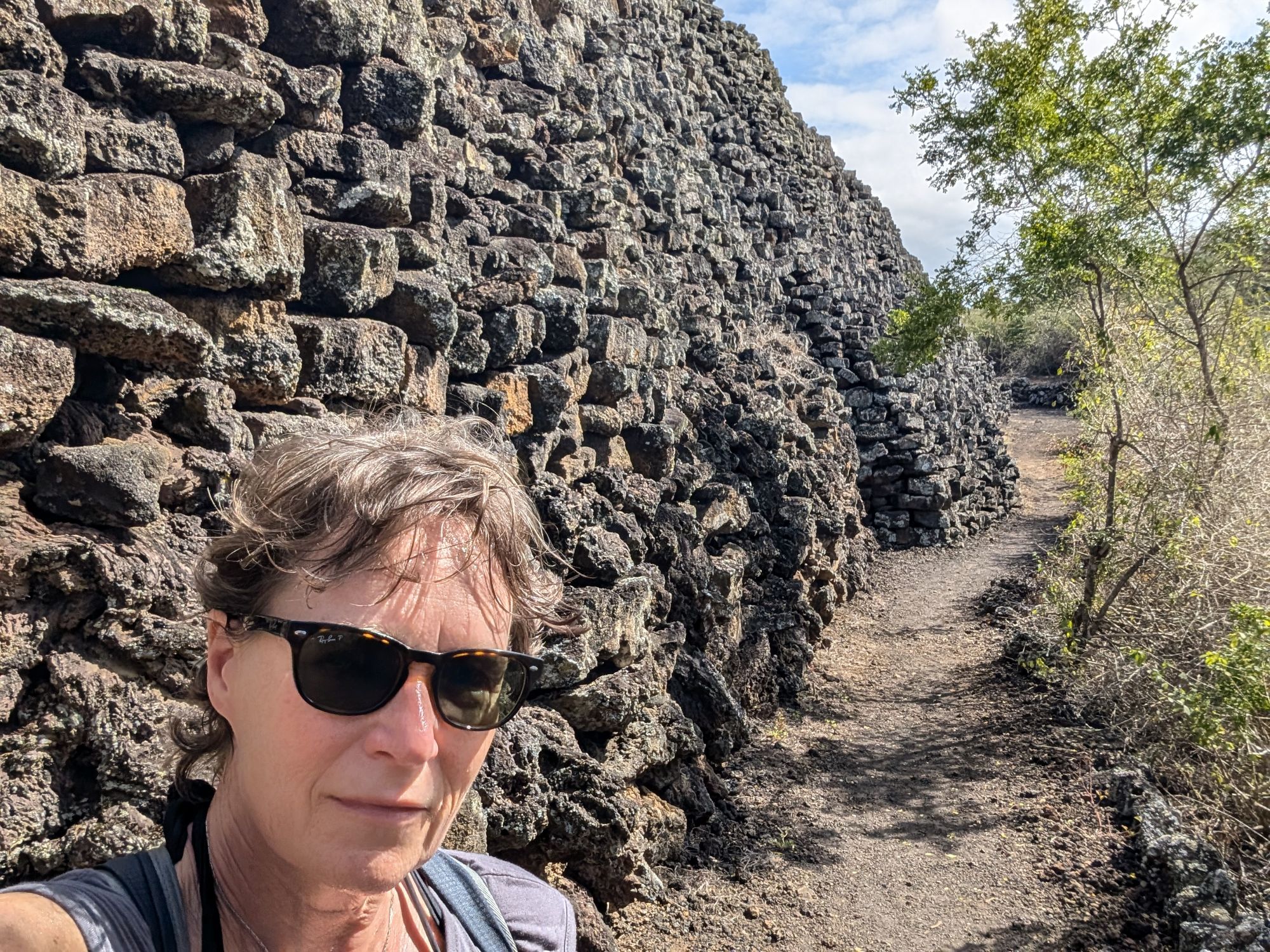
During the early 1900s, the Ecuadorian government used the island as a penal colony, known as Puerto Villamil (the current capital). Prisoners were put to work on various projects, including building the “Wall of Tears,” (Muro de las lágrimas) a large wall constructed from lava rocks. I rented a bike for $10 for the day, brought food with me and had a great 4 hours looking around the area.
It is best to bike all the way out to the wall and then stop at all the other lookouts on the way back.
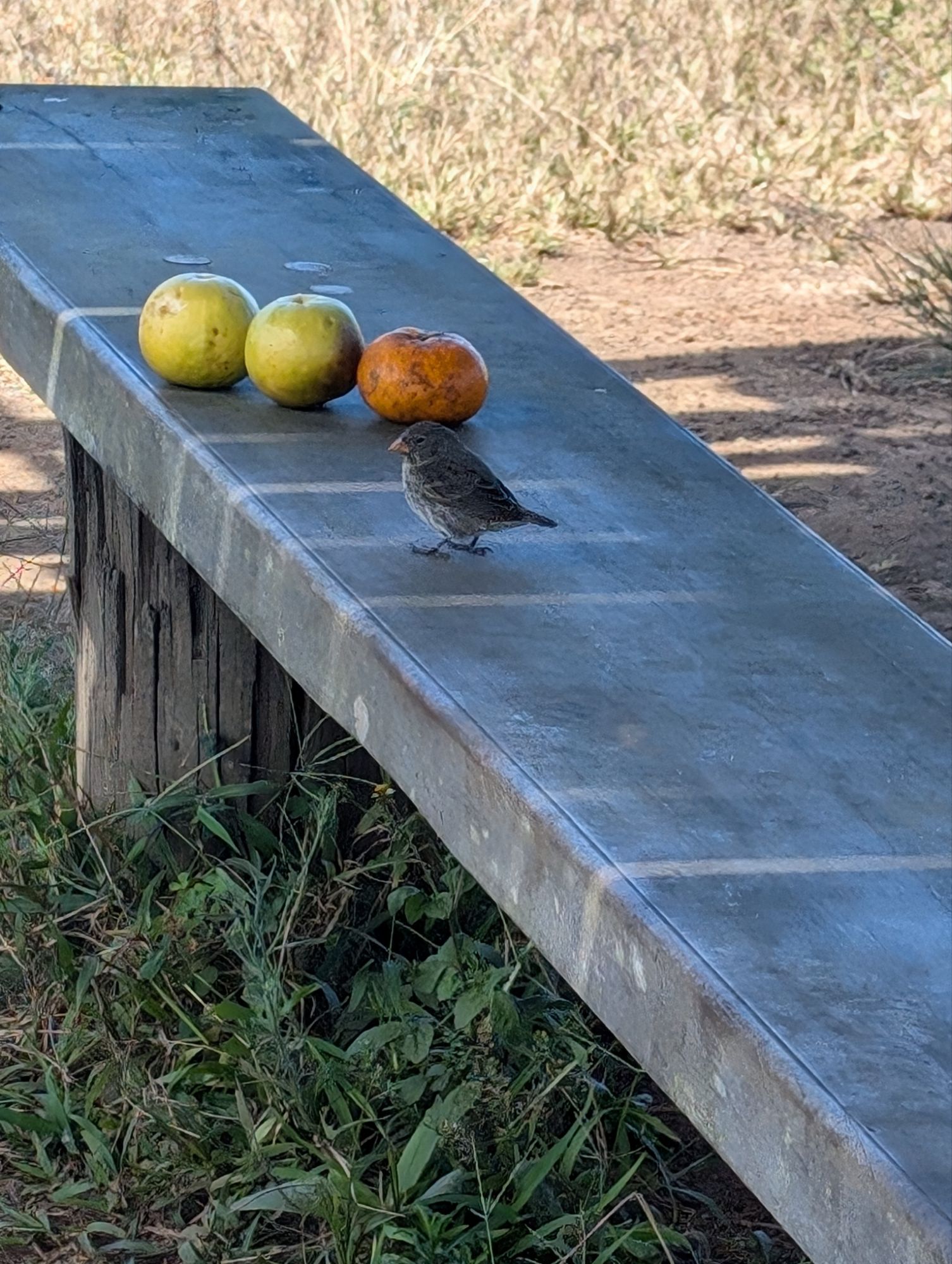
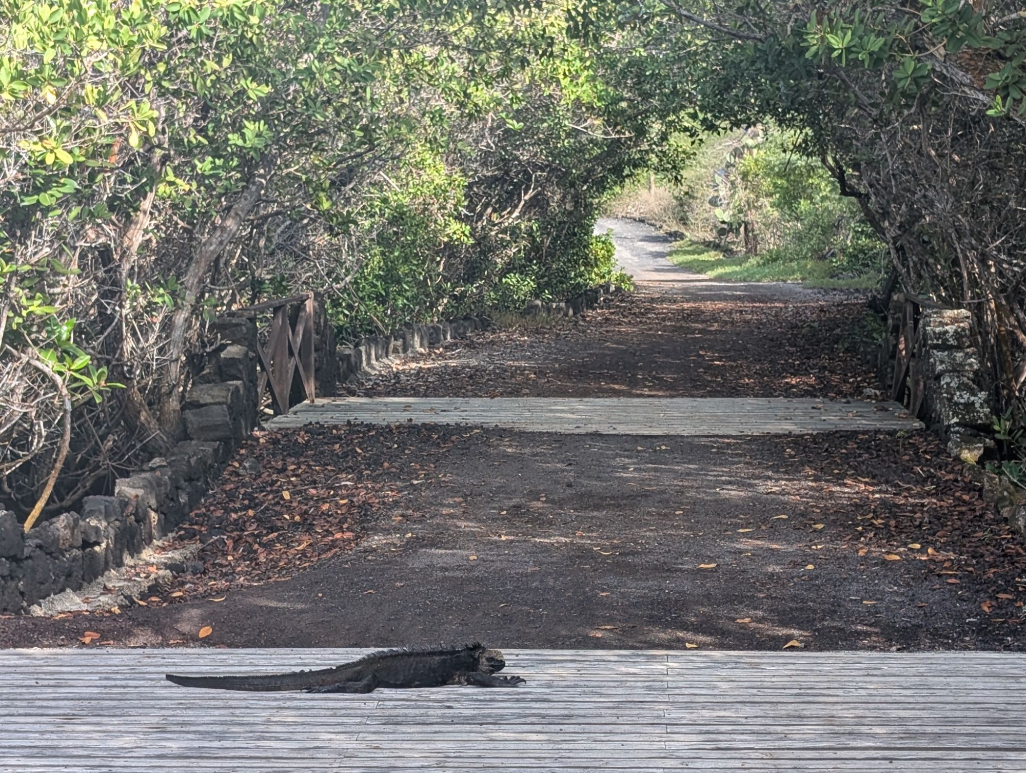
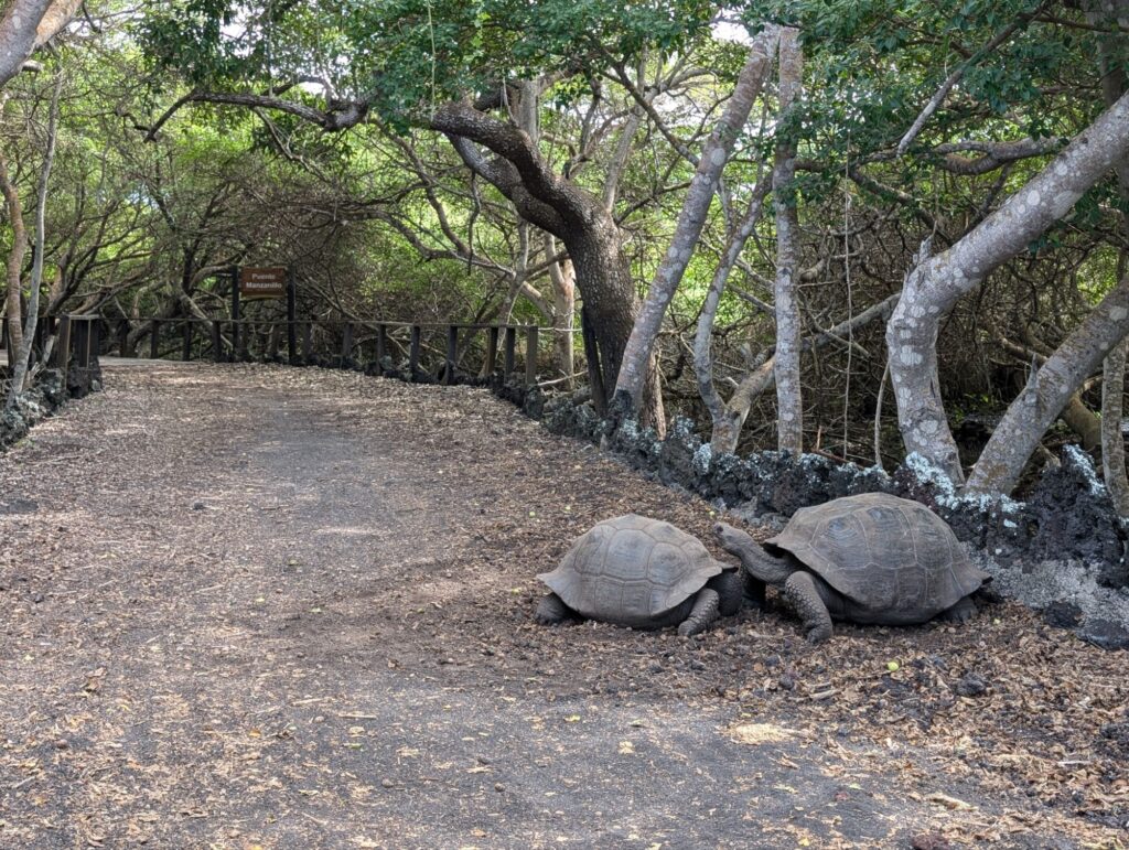
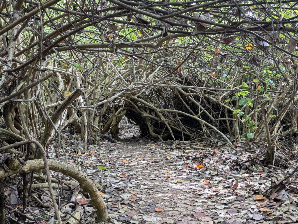
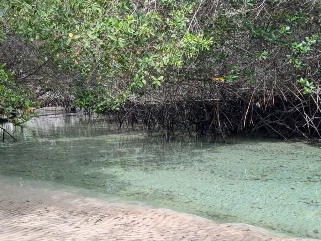
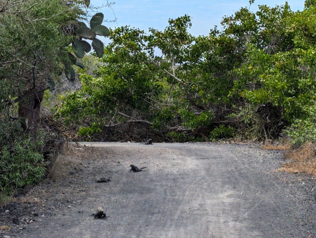
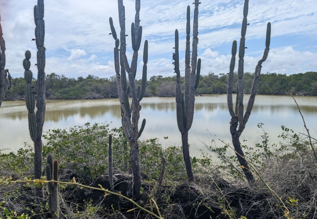
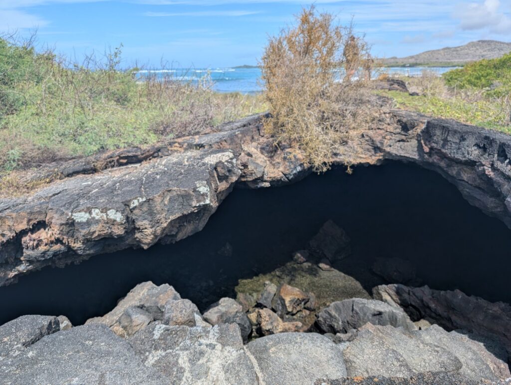
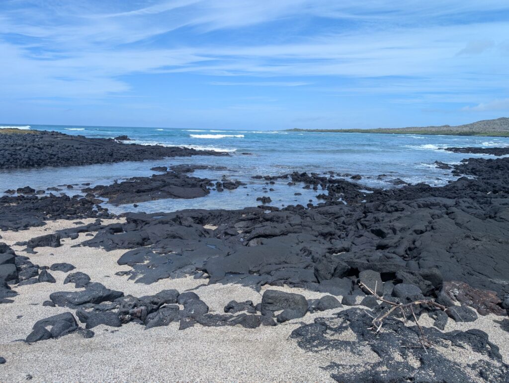
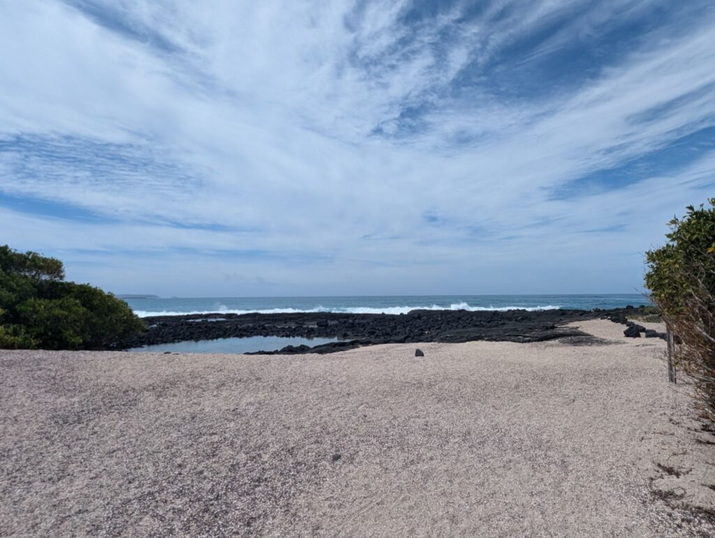
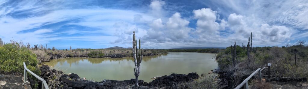
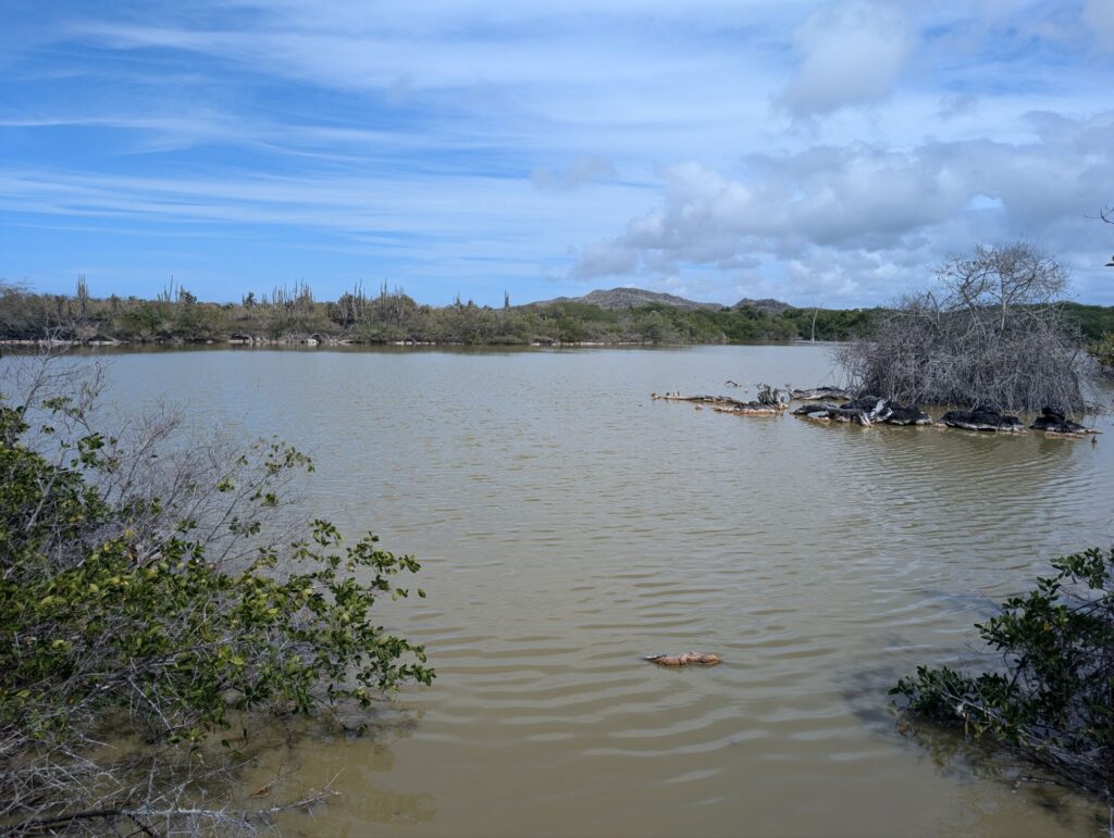
Mirador cerro ochillaCamino de tortugael estero that goes through the mangroveThe mangrove Even the iguanas know how to stay on the right side of the road.At Poza escondida. This finch loved my bike tire. Poza redondaTúnel del estero. Formed when lava flows cooled on the outside to make a tube. The inside lava continued to flow out.Playas del amor, iguana egg laying siteMirador los tunesPozas verdesLa playita
After that I went to pearl concha, where many go to snorkel.
Then a rest at the pink iguana.
Isabela Island is the main focus of conservation efforts in the Galapagos. Programs are in place to protect the endemic species and restore habitats that have been affected by invasive species and human activity.
Goats were one of the most destructive invasive species. They degraded the habitat by overgrazing, which led to soil erosion and the destruction of native vegetation. This impacted native tortoise populations. Donkeys also contributed to this problem.
Pigs, introduced by humans, preyed on the eggs and hatchlings of native reptiles, such as tortoises and iguanas.
Black rats and Norway rats were introduced accidentally by ships. They prey on eggs and hatchlings of birds and reptiles.
Feral cats have been a significant predator of native wildlife, including birds, iguanas, and young tortoises. Their hunting behavior has caused declines in many native species. Dogs likewise are a problem.
An invasive insects, such as the Philornis downsi fly affected birds. The larvae of this fly parasitize the nestlings of many bird species, causing high mortality rates.
Blackberry and guava plants outcompete the native species and grow too thick.
The aggressive eradication of most of these allowed the tortoise population to increase.