Tongariro crossing

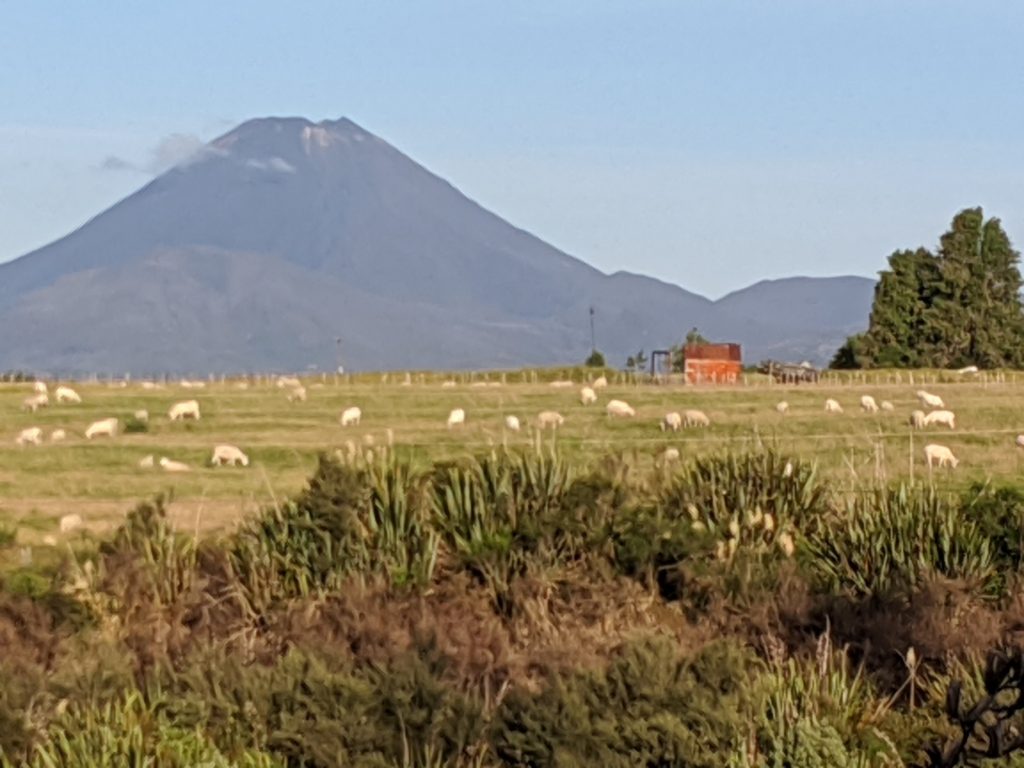
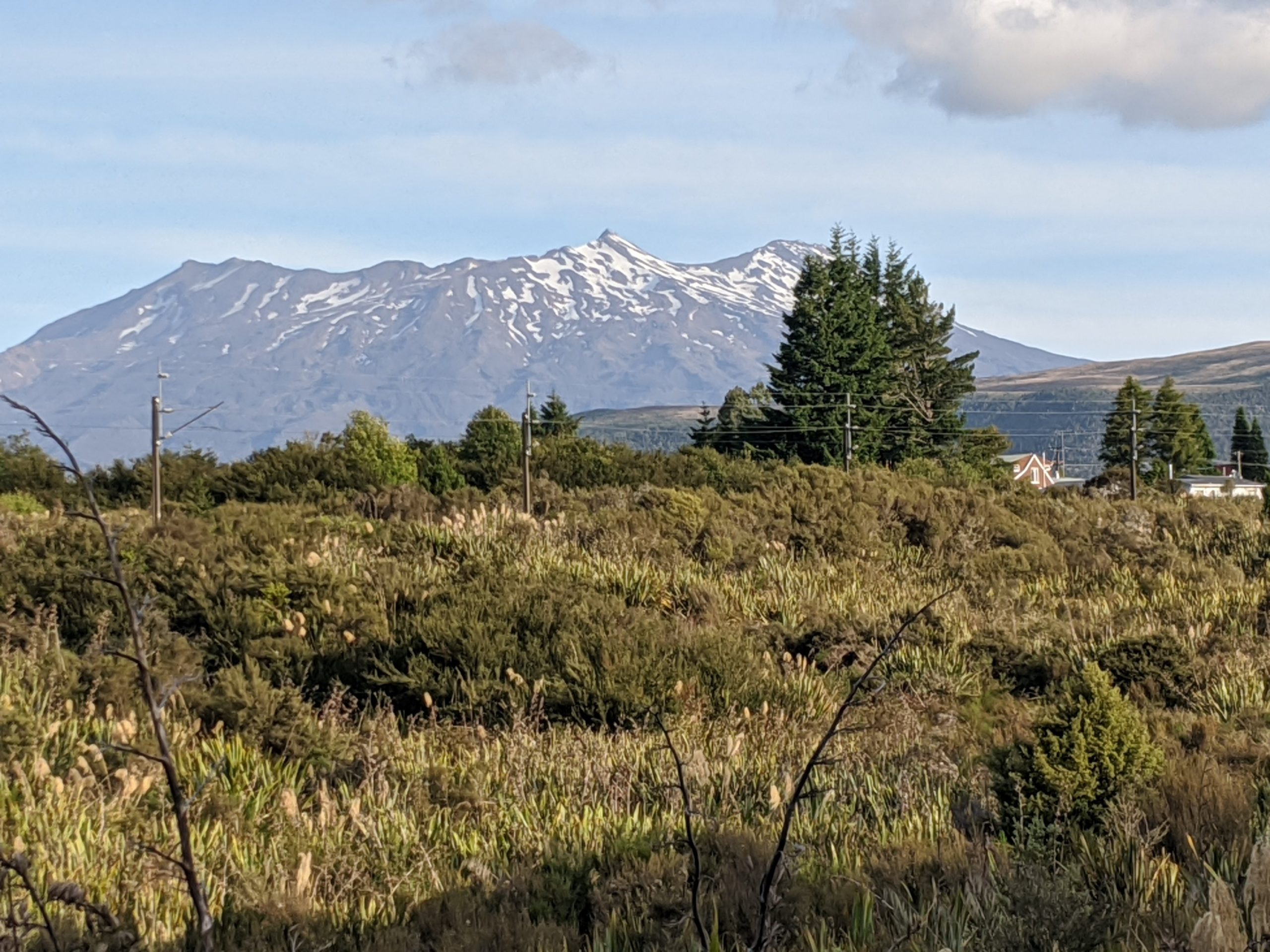
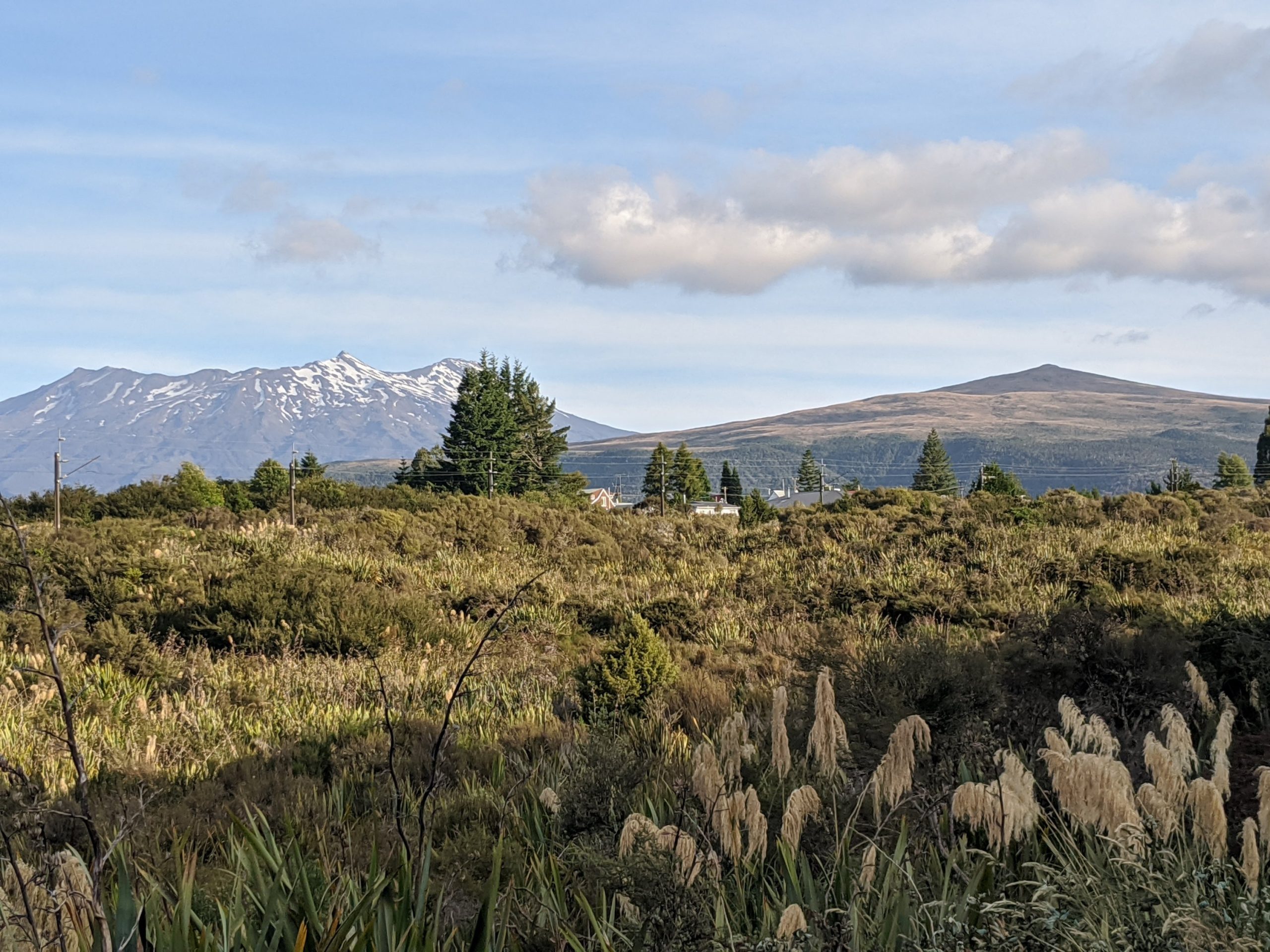
We checked into Piper’s Lodge and went for a run. I found the mountain to beach bike path and saw the mountains we were to be hiking on and between in the distance.

I believe we start somewhere in this mountain and head to the right….
…towards but not on this mountain.

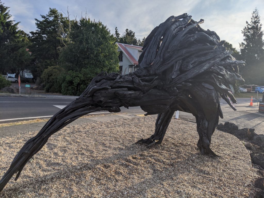
Another kiwi statue… Love it!

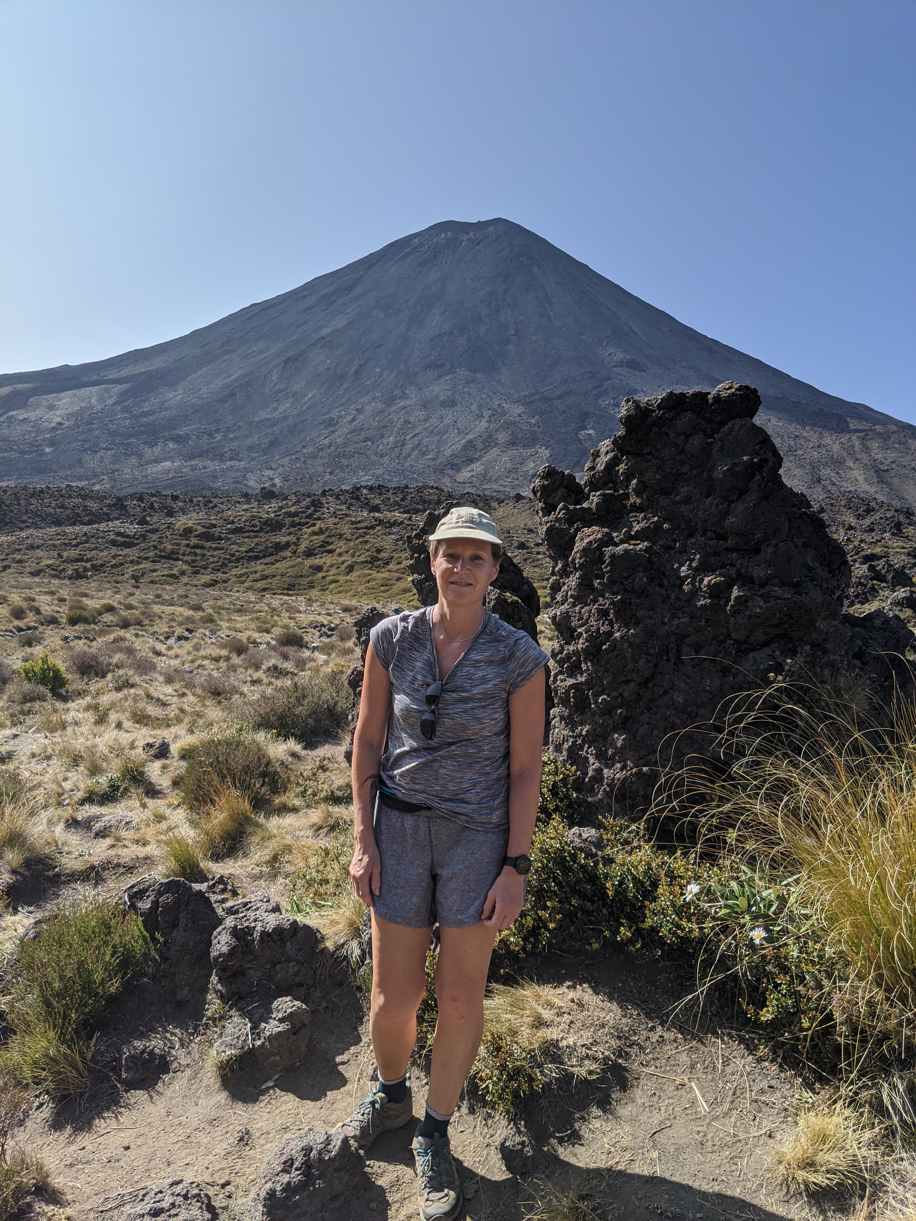
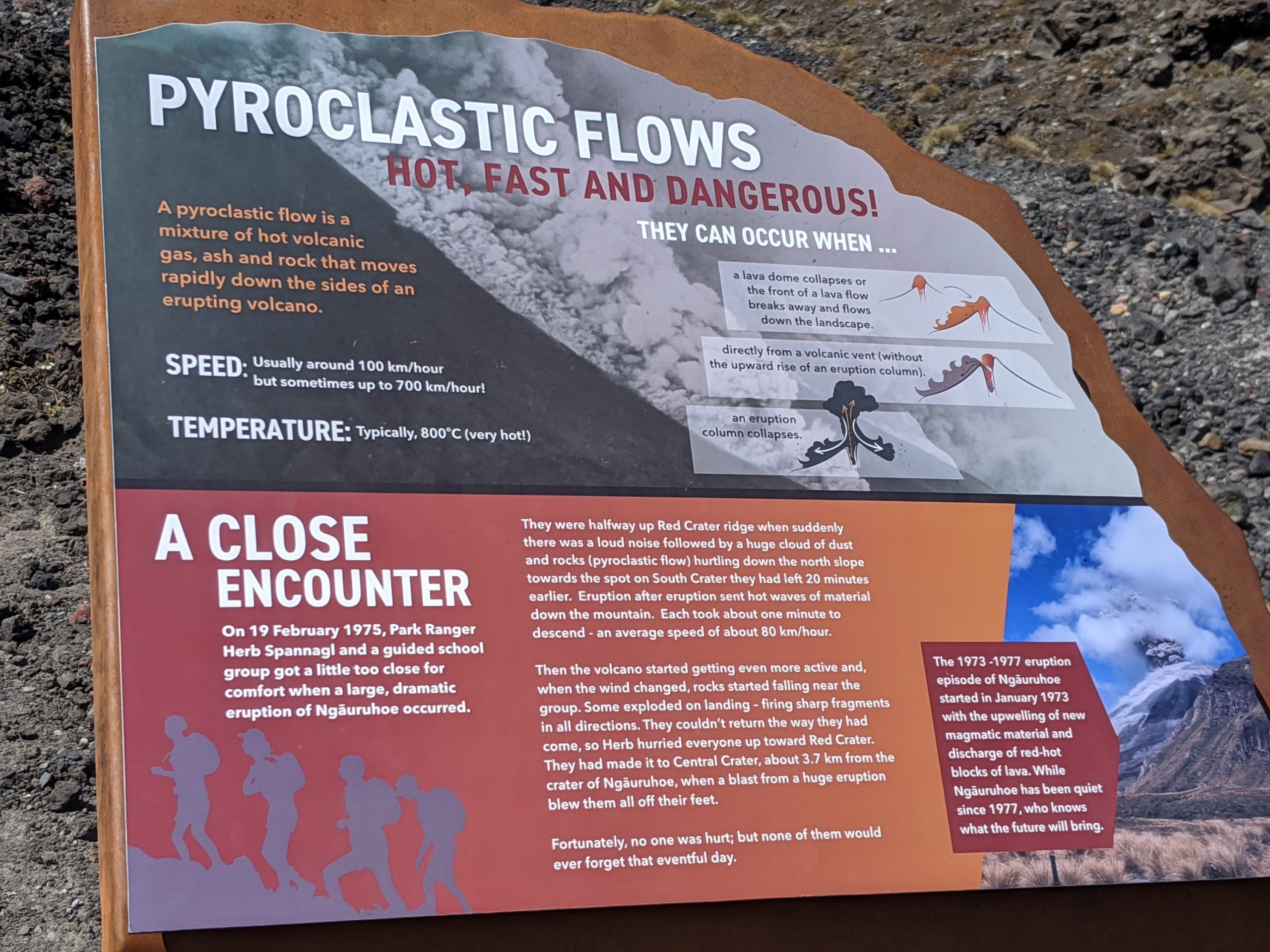
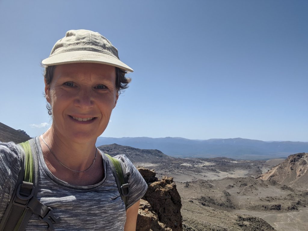
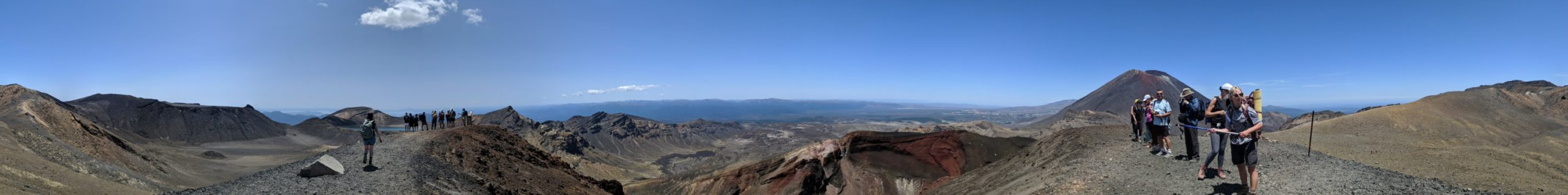
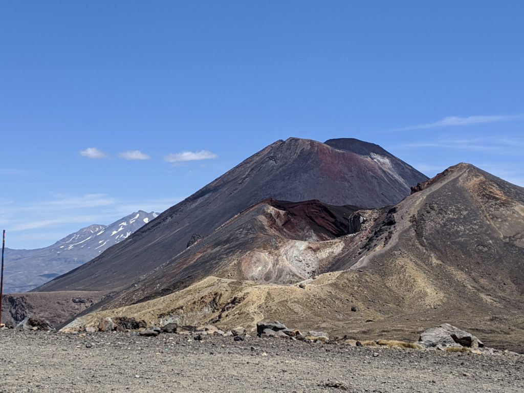
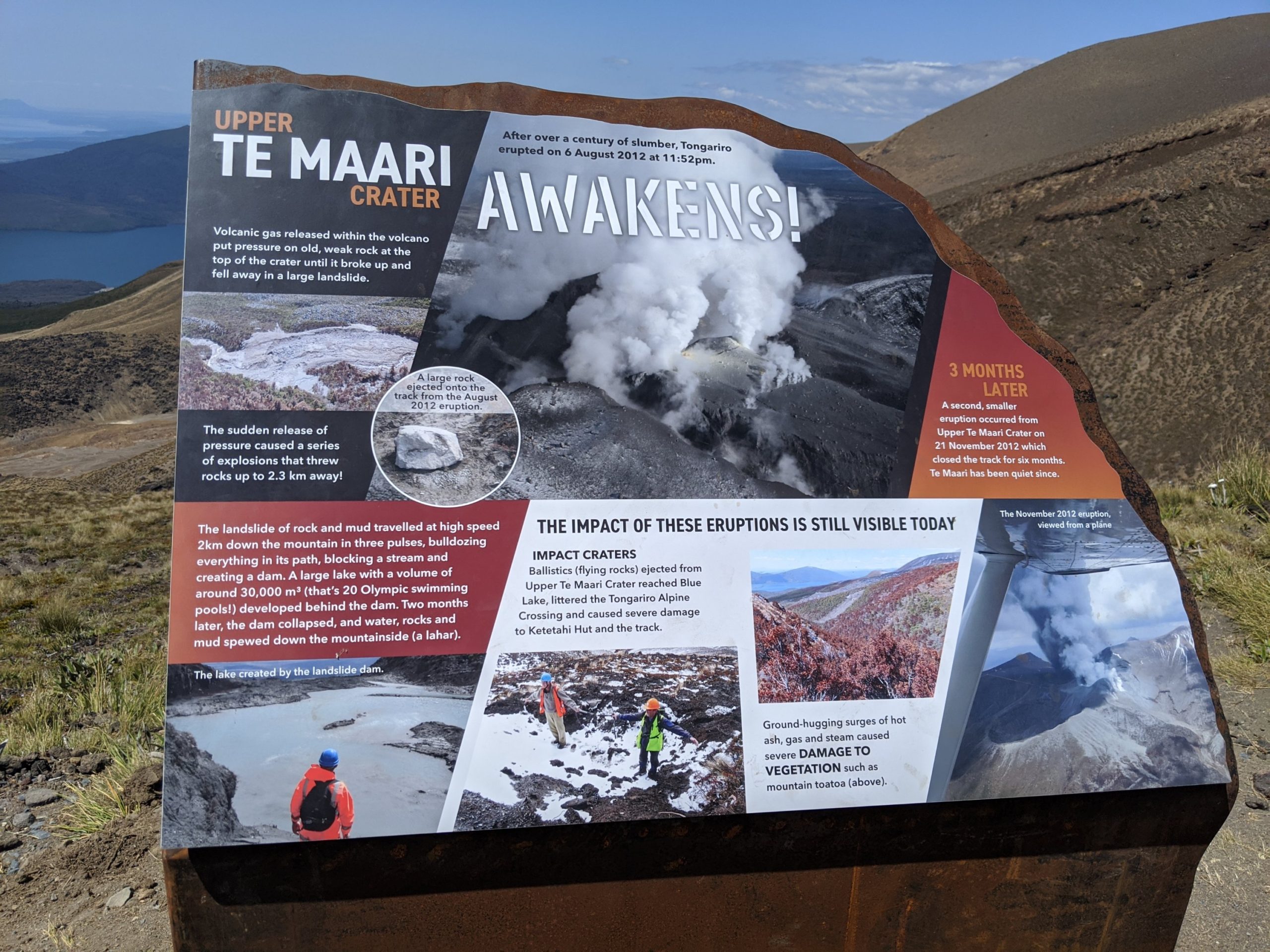
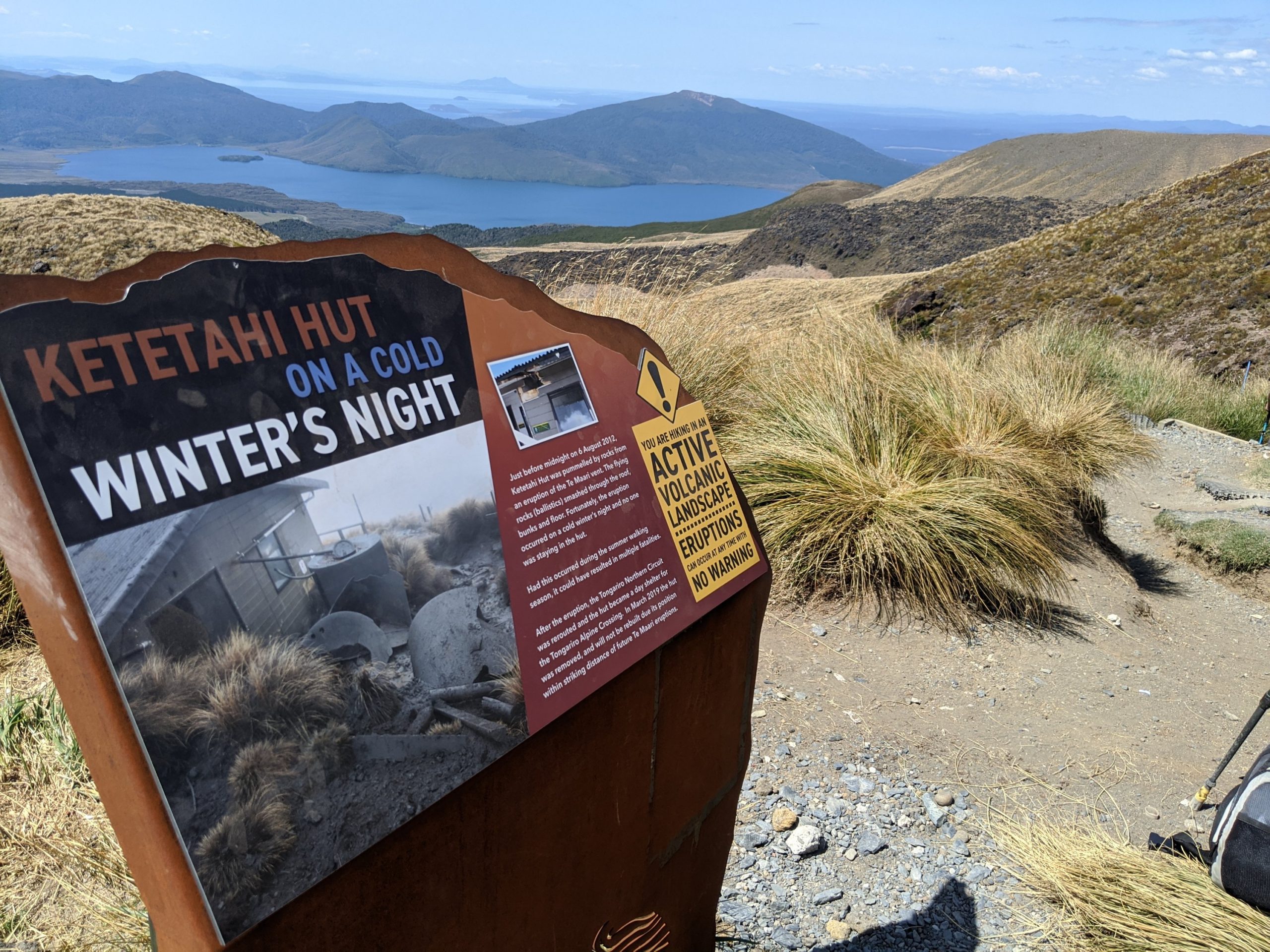
The next morning we were picked up and on our way to the crossing. This is actually an active volcano we are crossing. To be completely accurate all of the North Island is active with volcanoes.

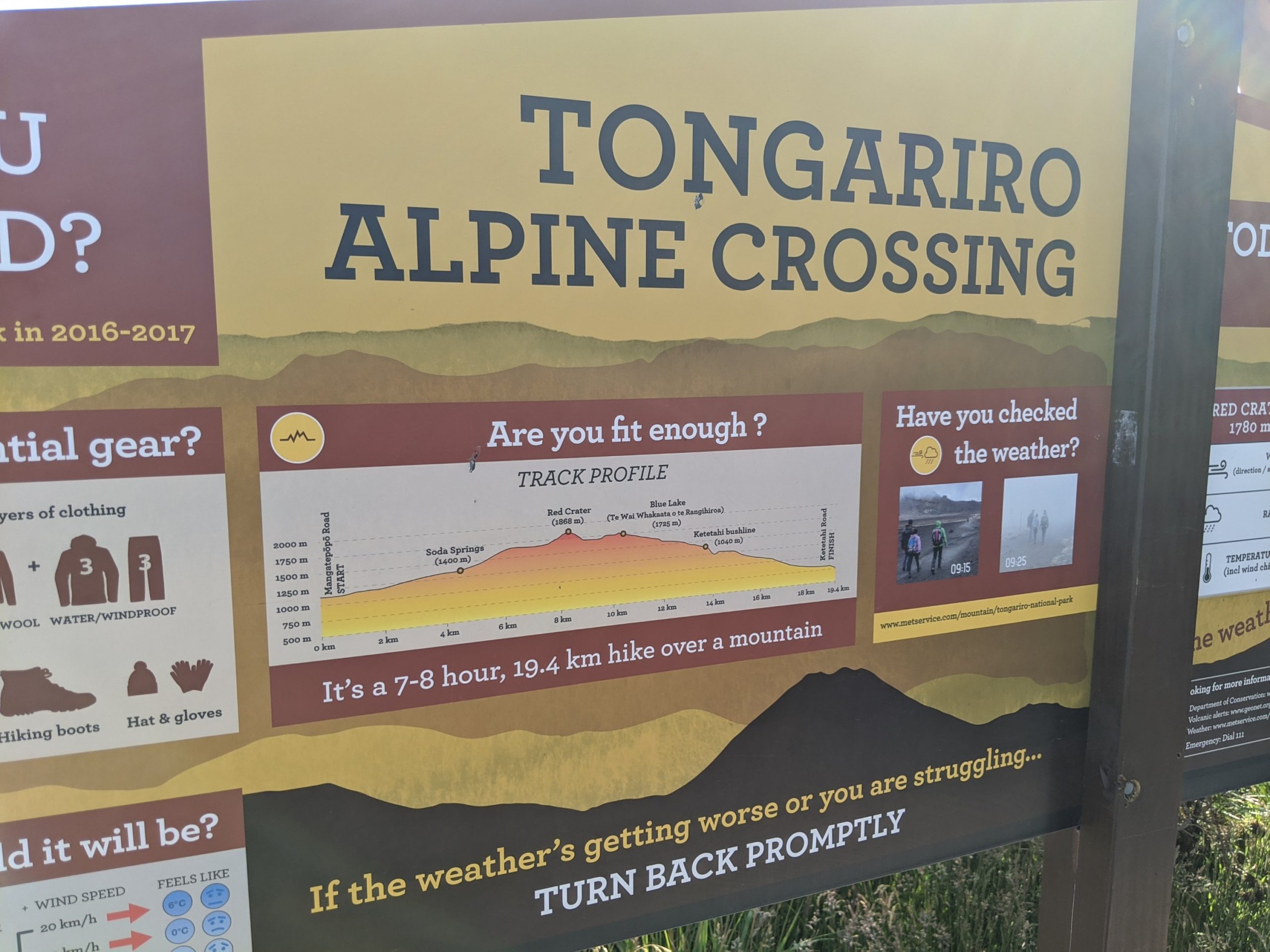
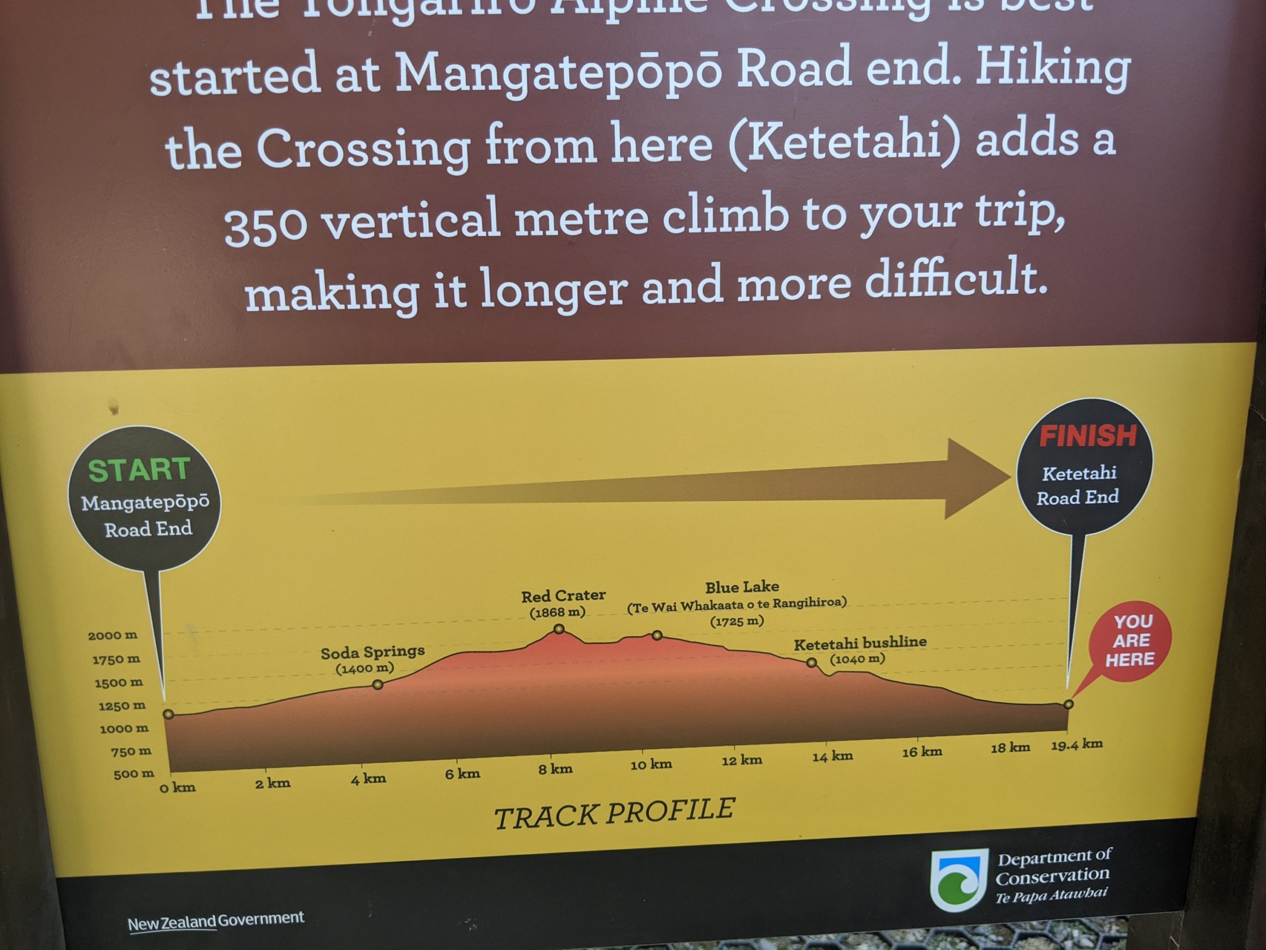
This hike is 19.4 km and not for the faint of heart. It is a lot of up and down mountains with high elevation, including loose rock, and very hot conditions. You have to pack lunch, snacks, and plenty of water. Proper hiking shoes are required as well as extra gear for changing weather that pops up. People die out here often and there are helicopters often to pick up people who fall or have medical conditions.

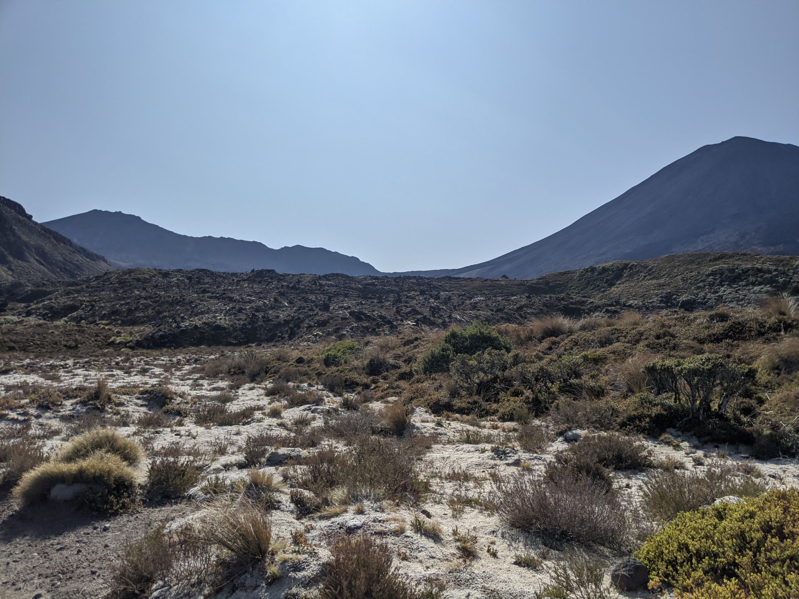
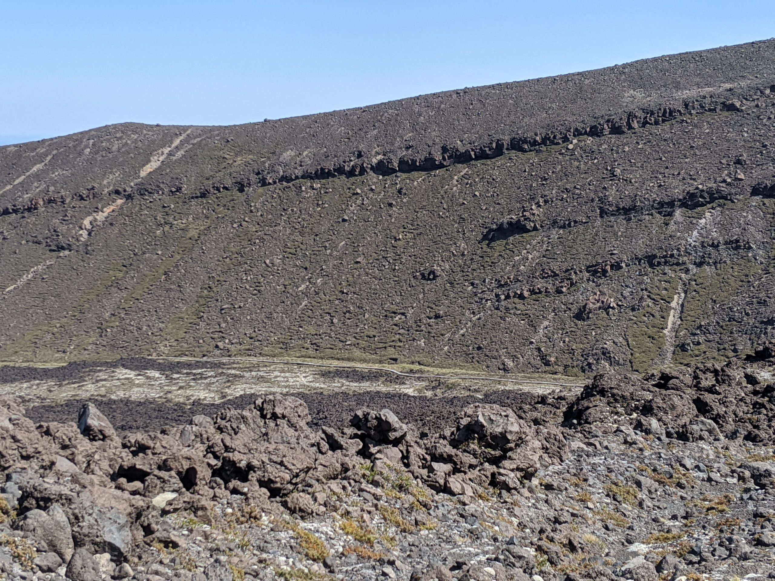
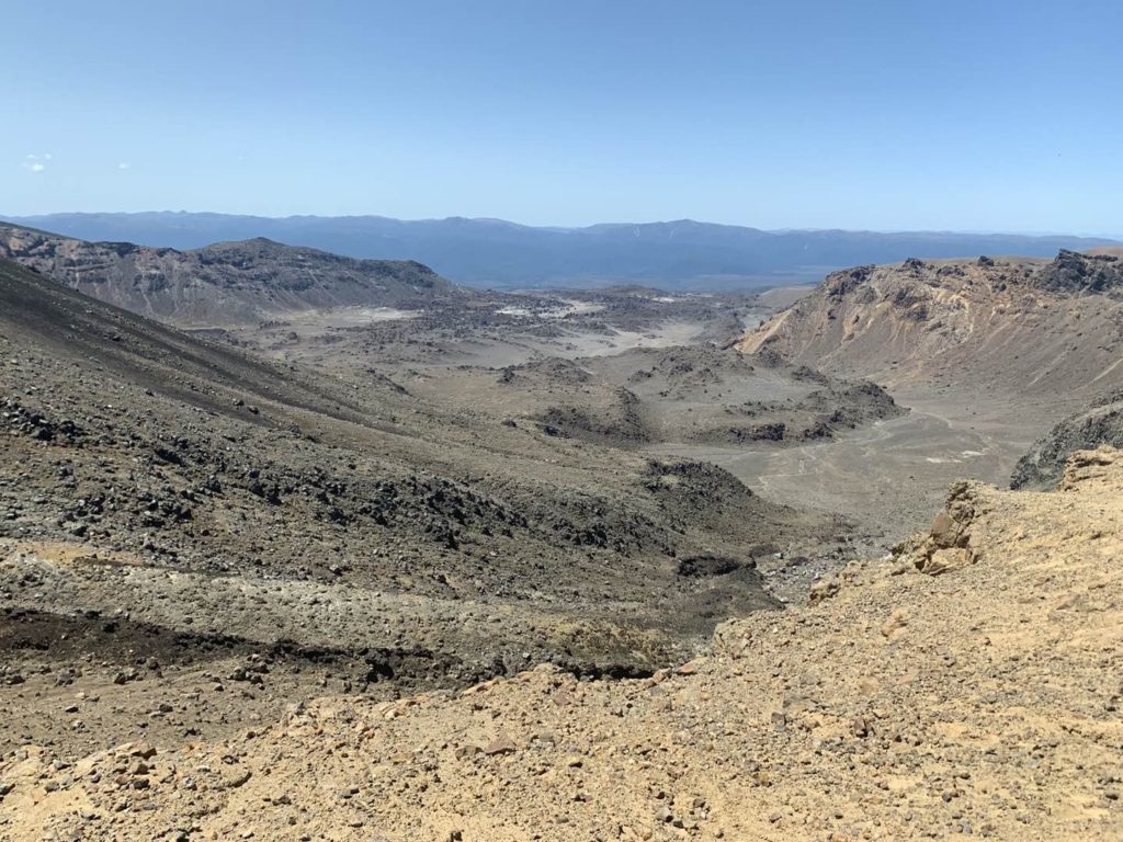
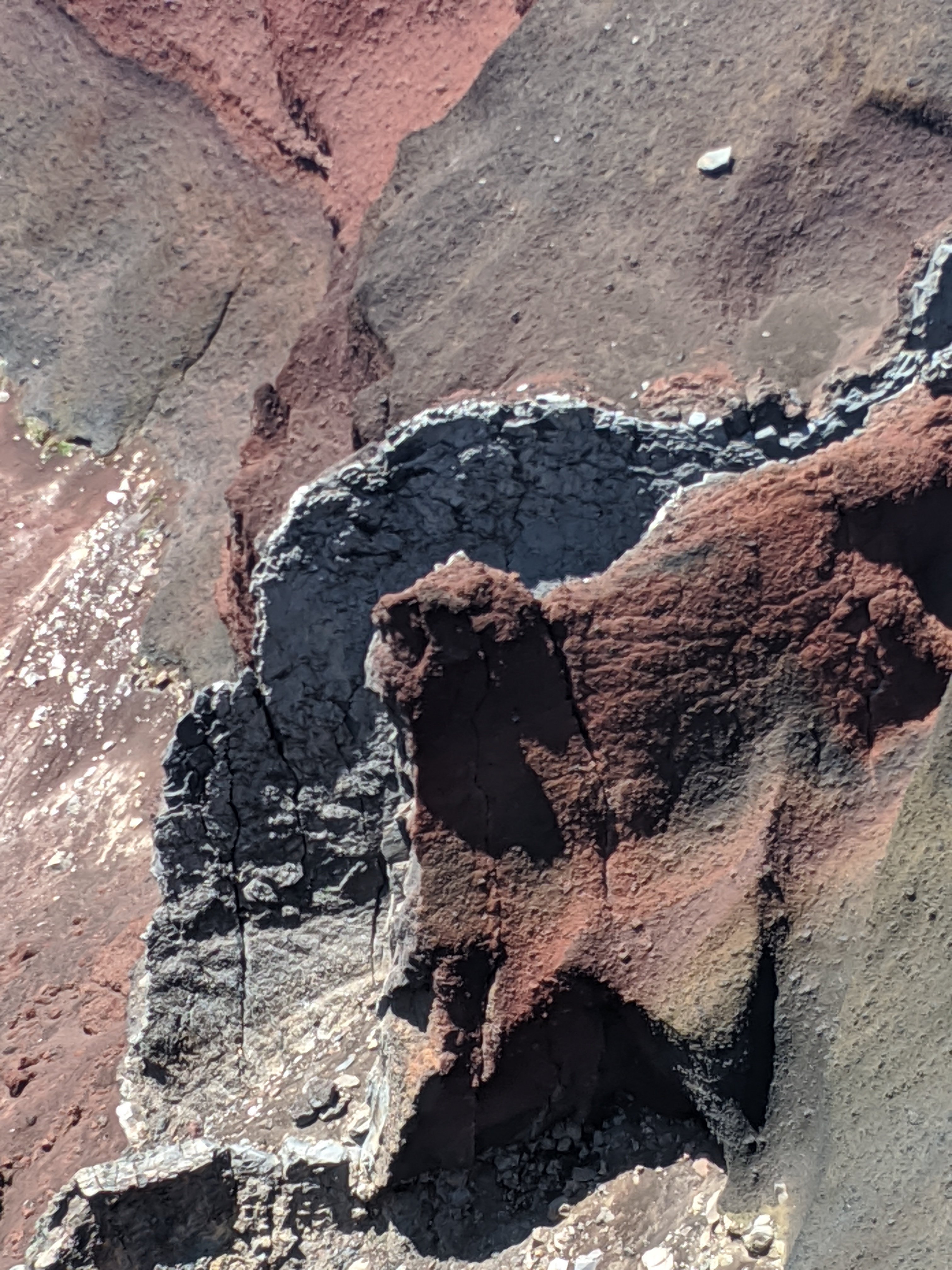
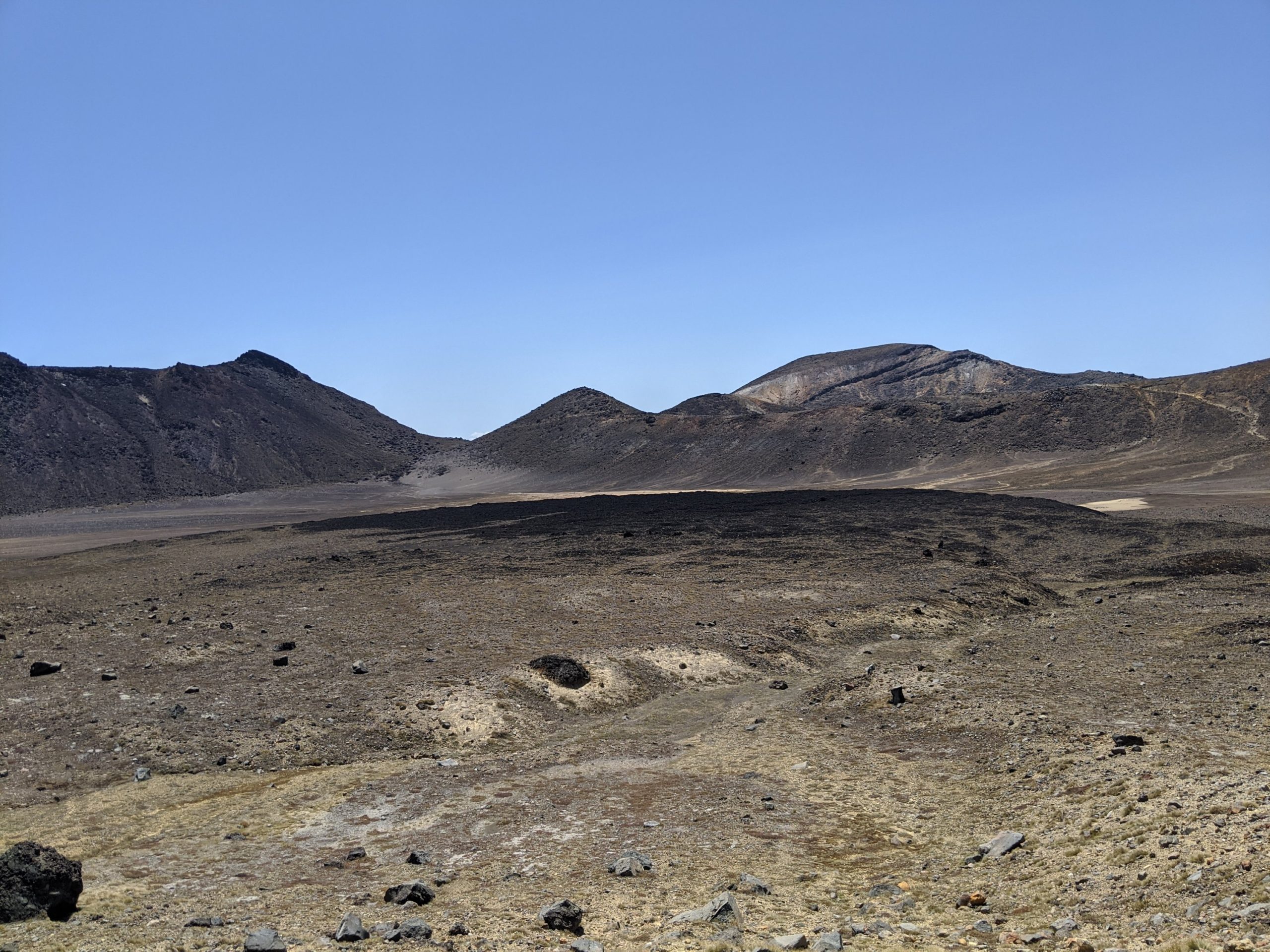
The landscape is littered with pumice. The lava could rapidly leaving pores.

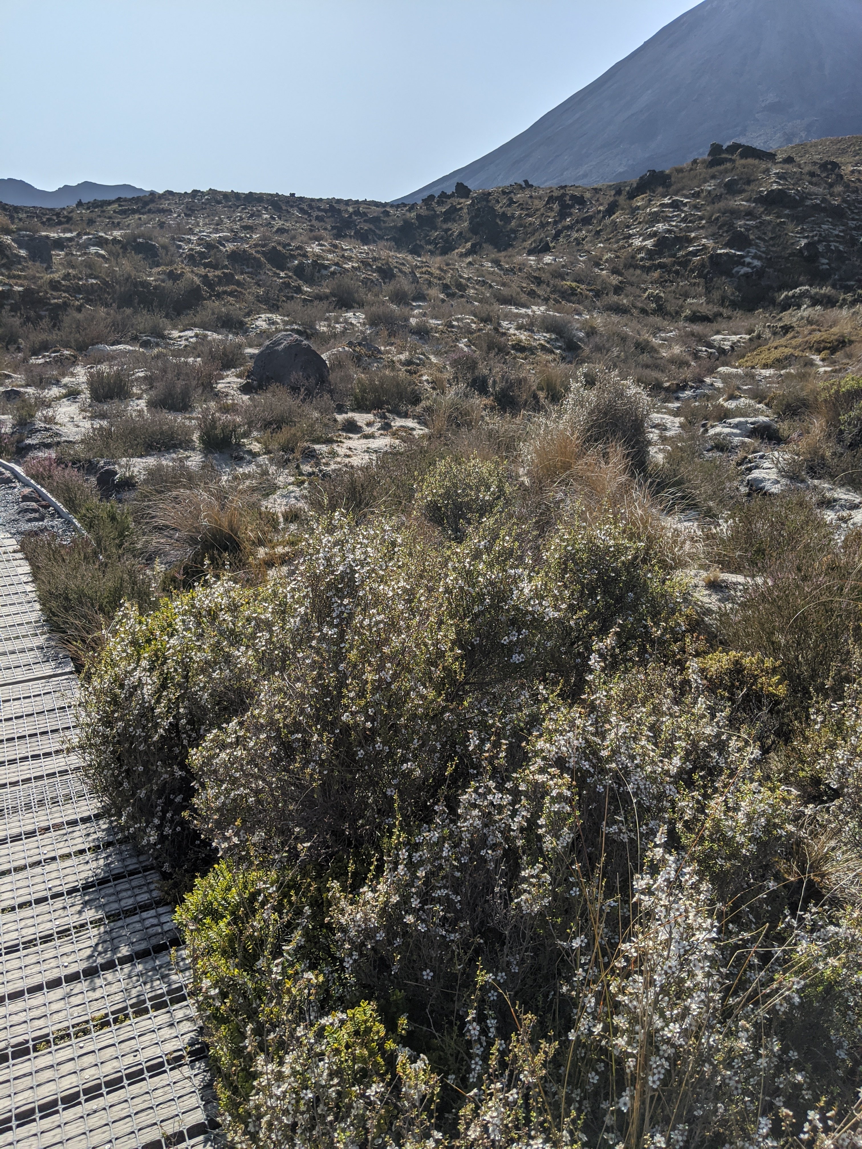
Manuka is a bush that bees love and Manuka honey is made.

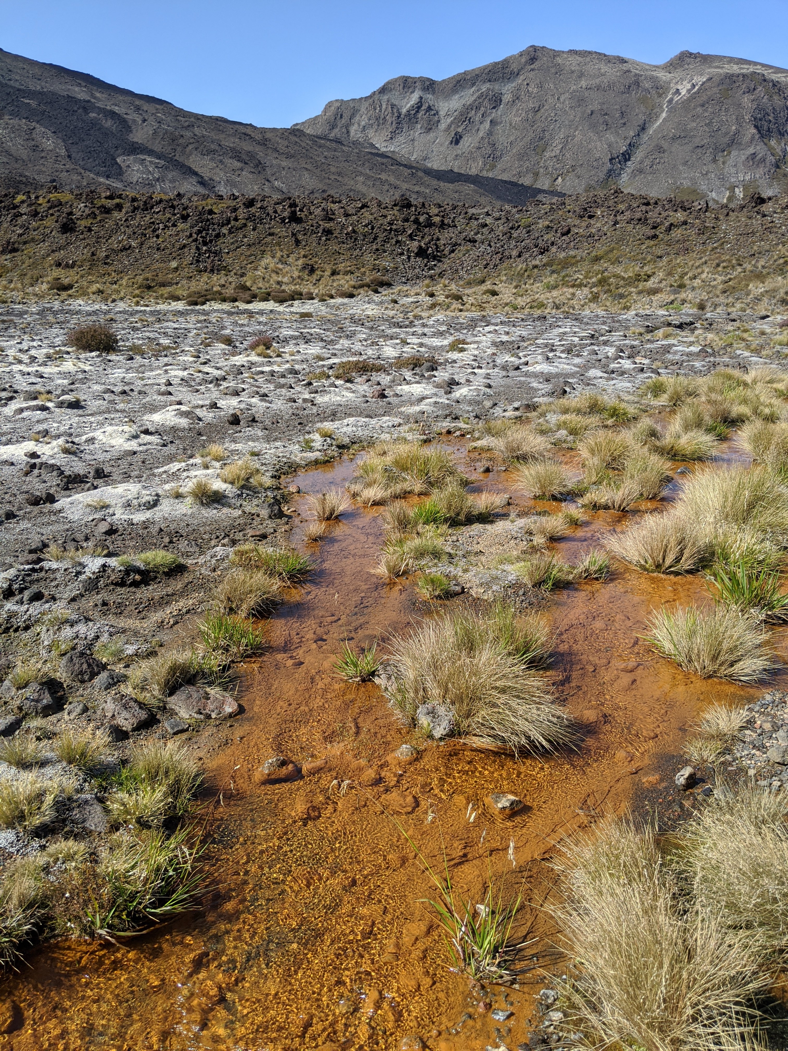
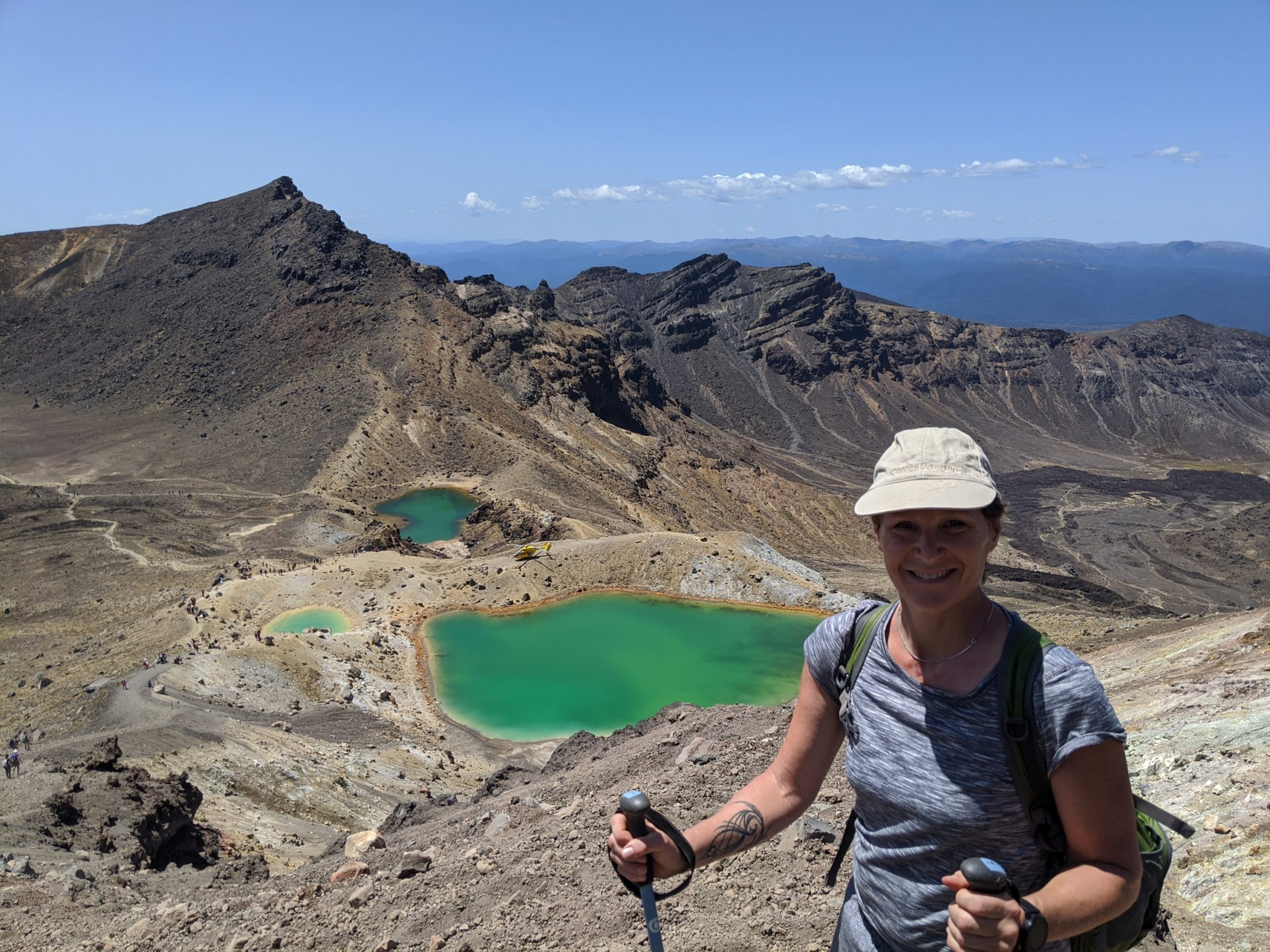
The chemicals in the water cause the algae itself to turn orange.

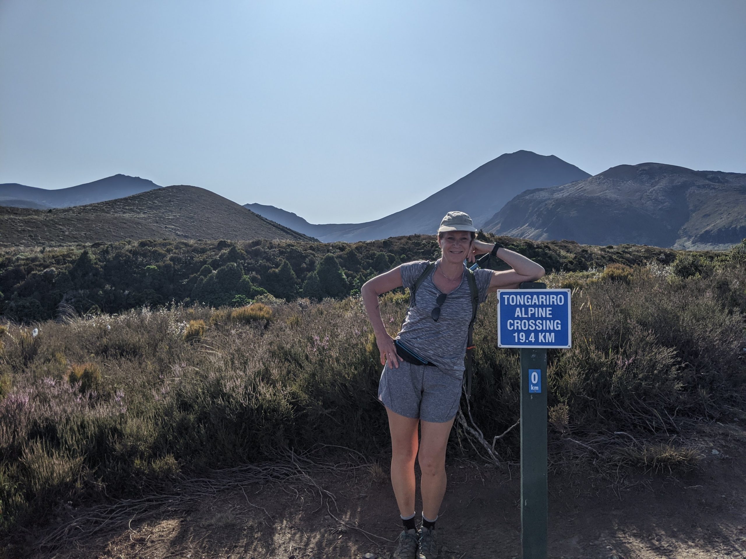
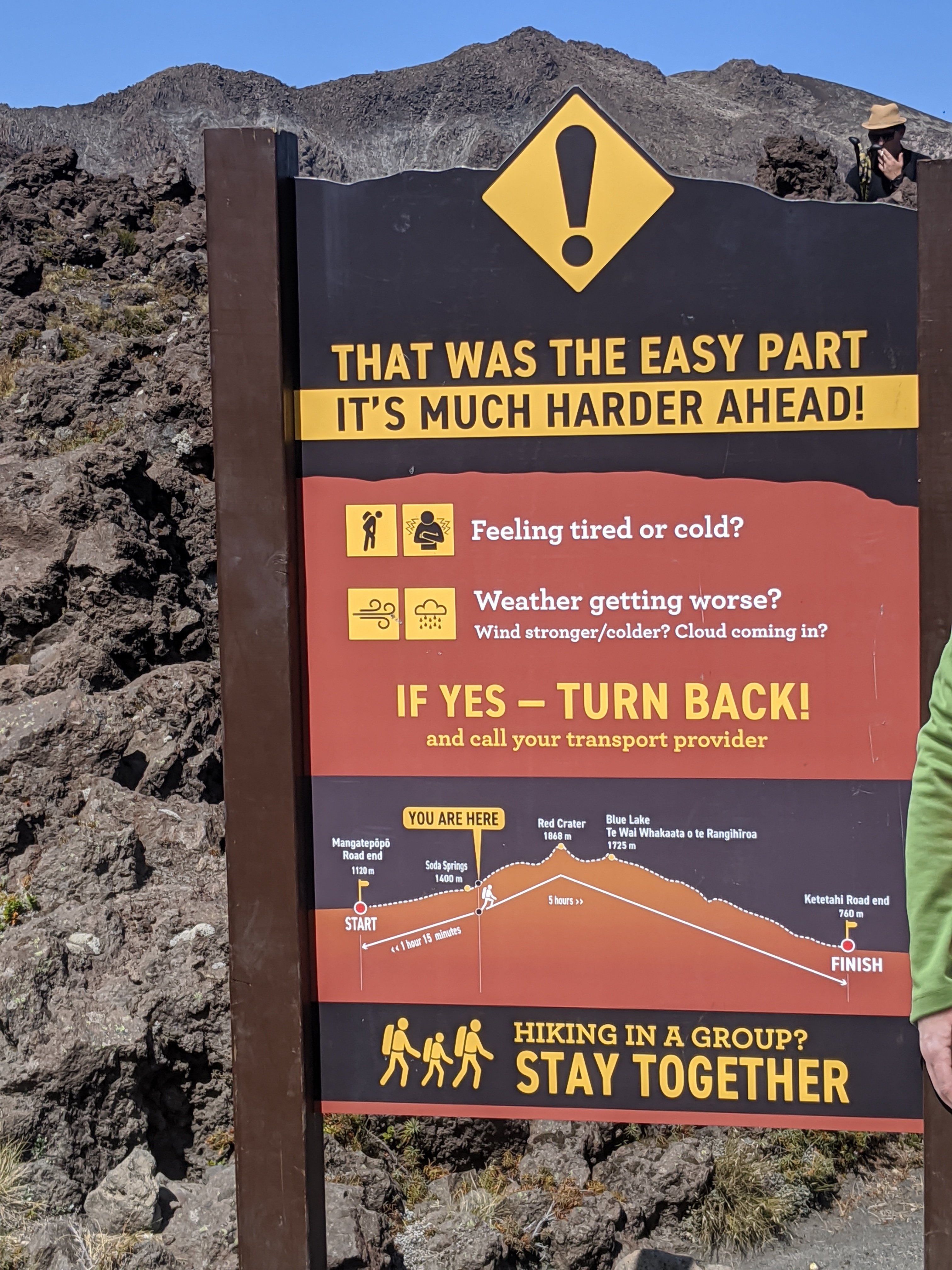
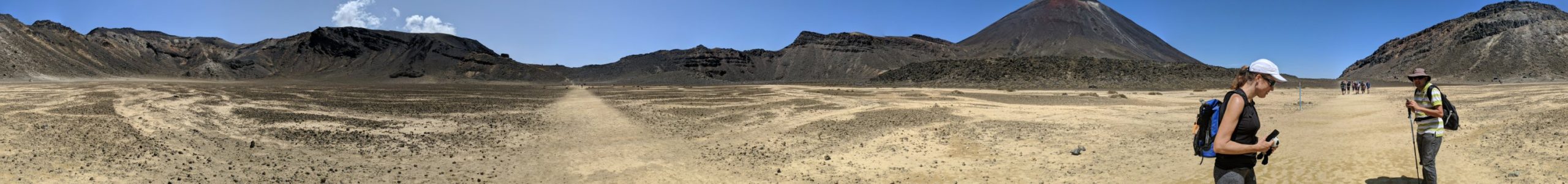
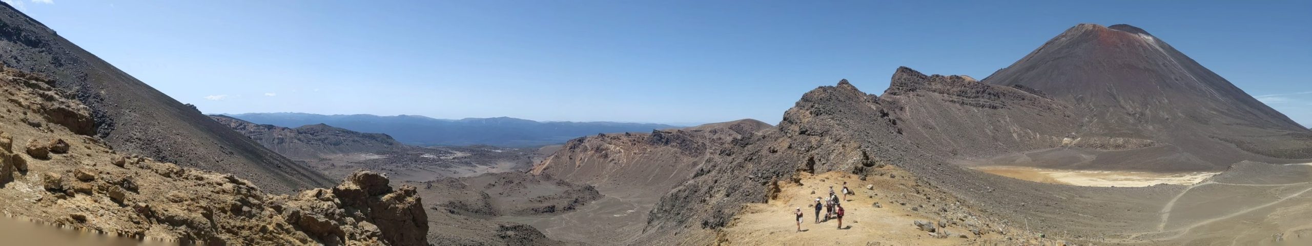
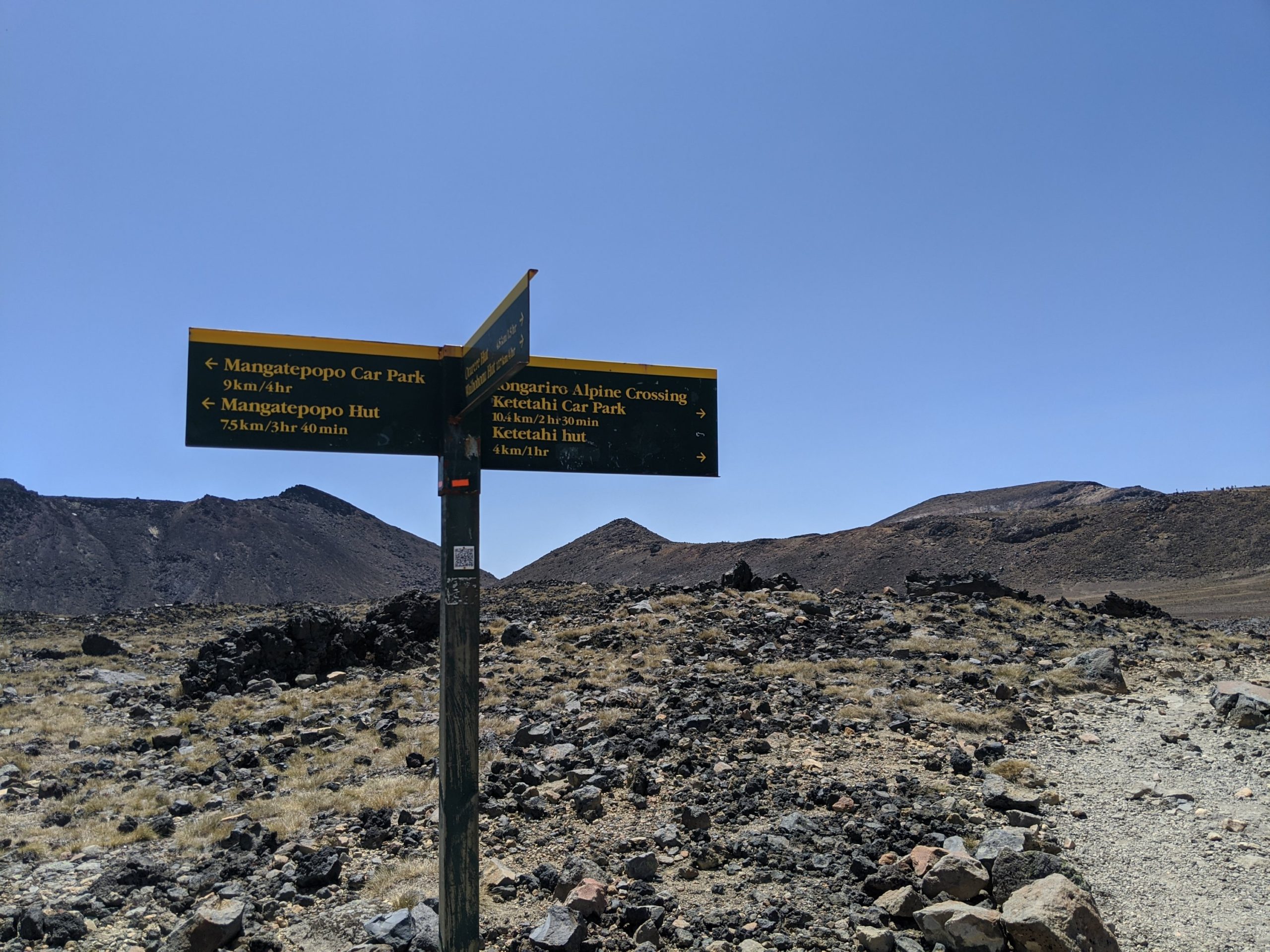
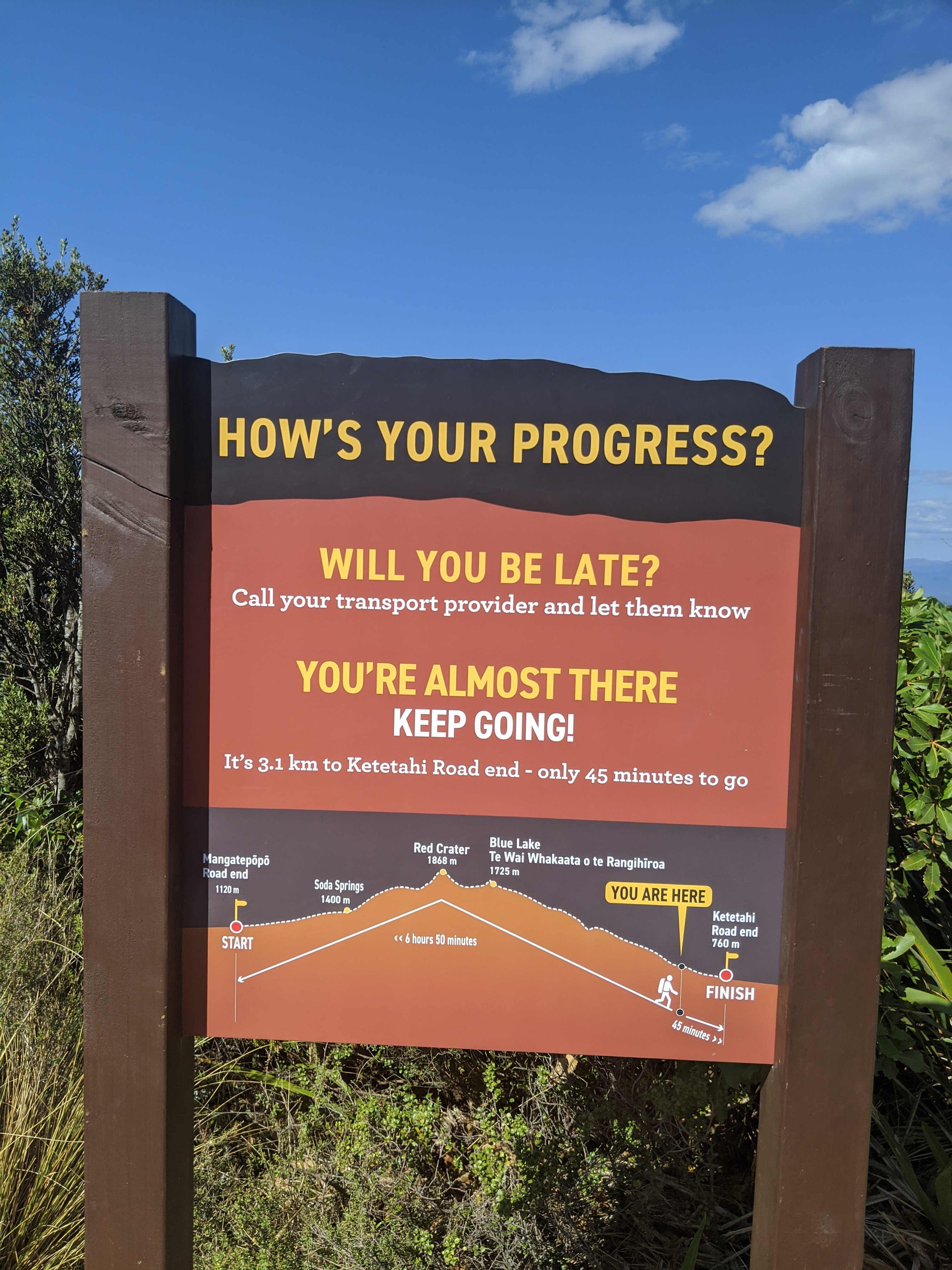
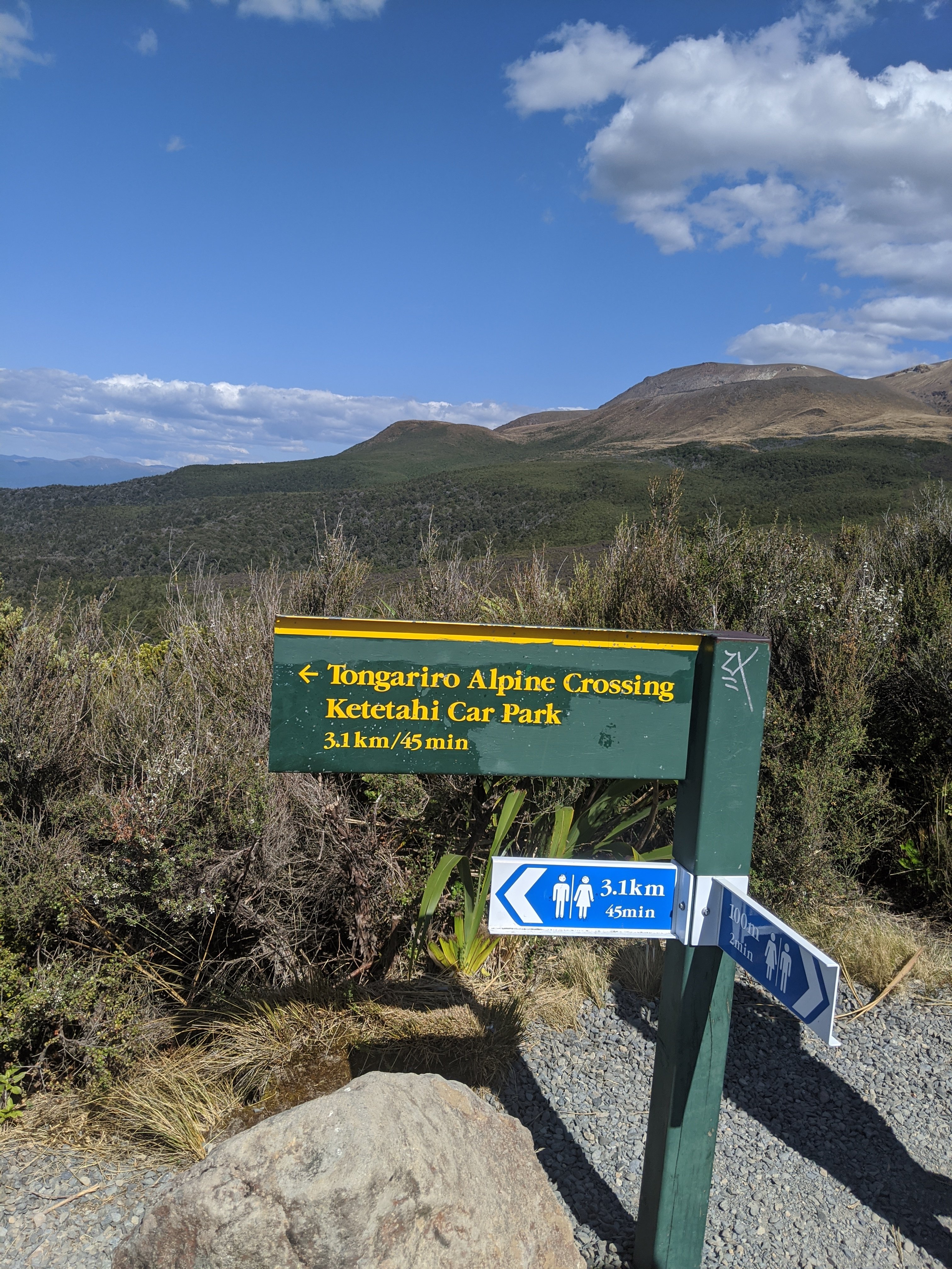
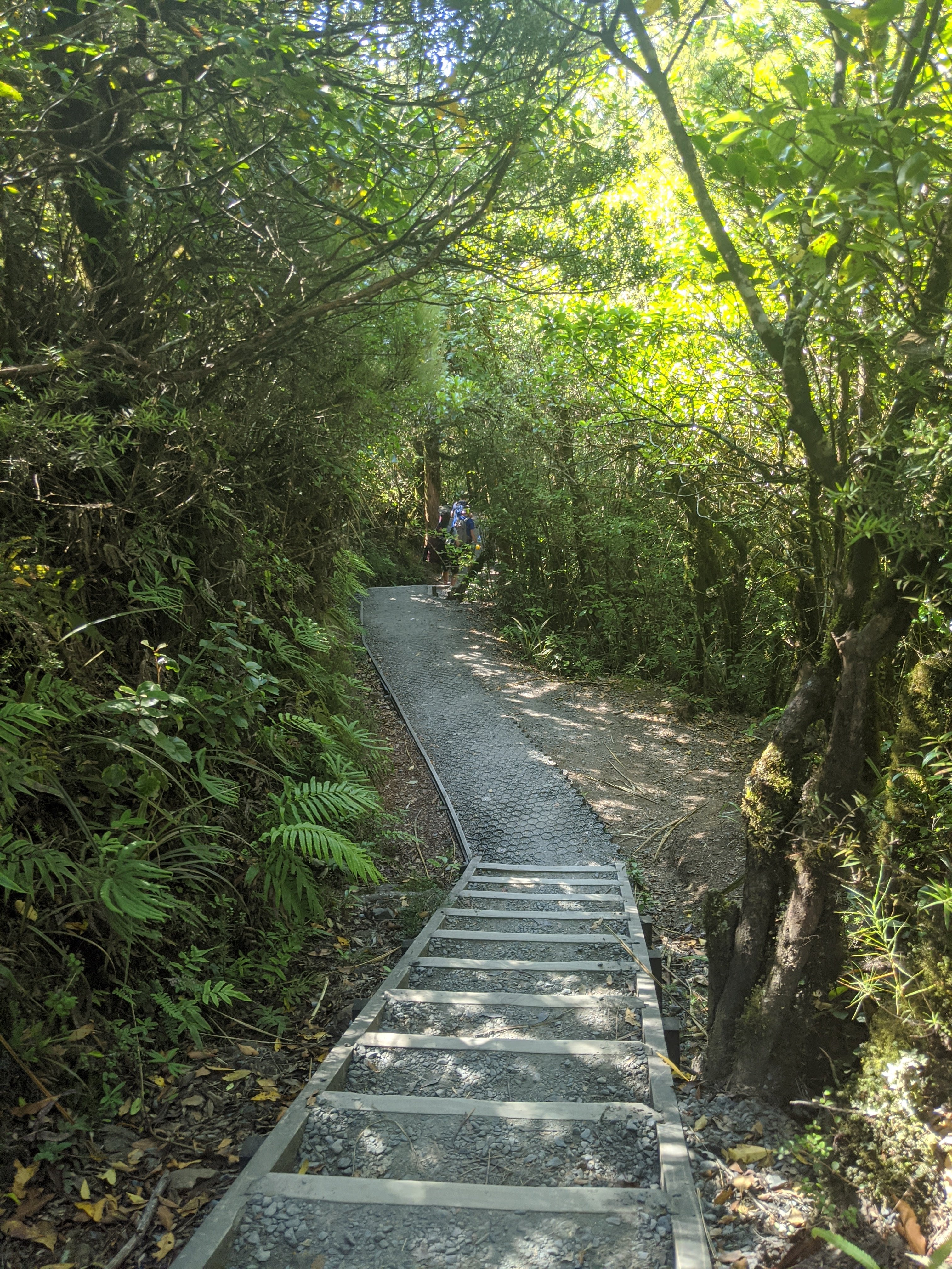
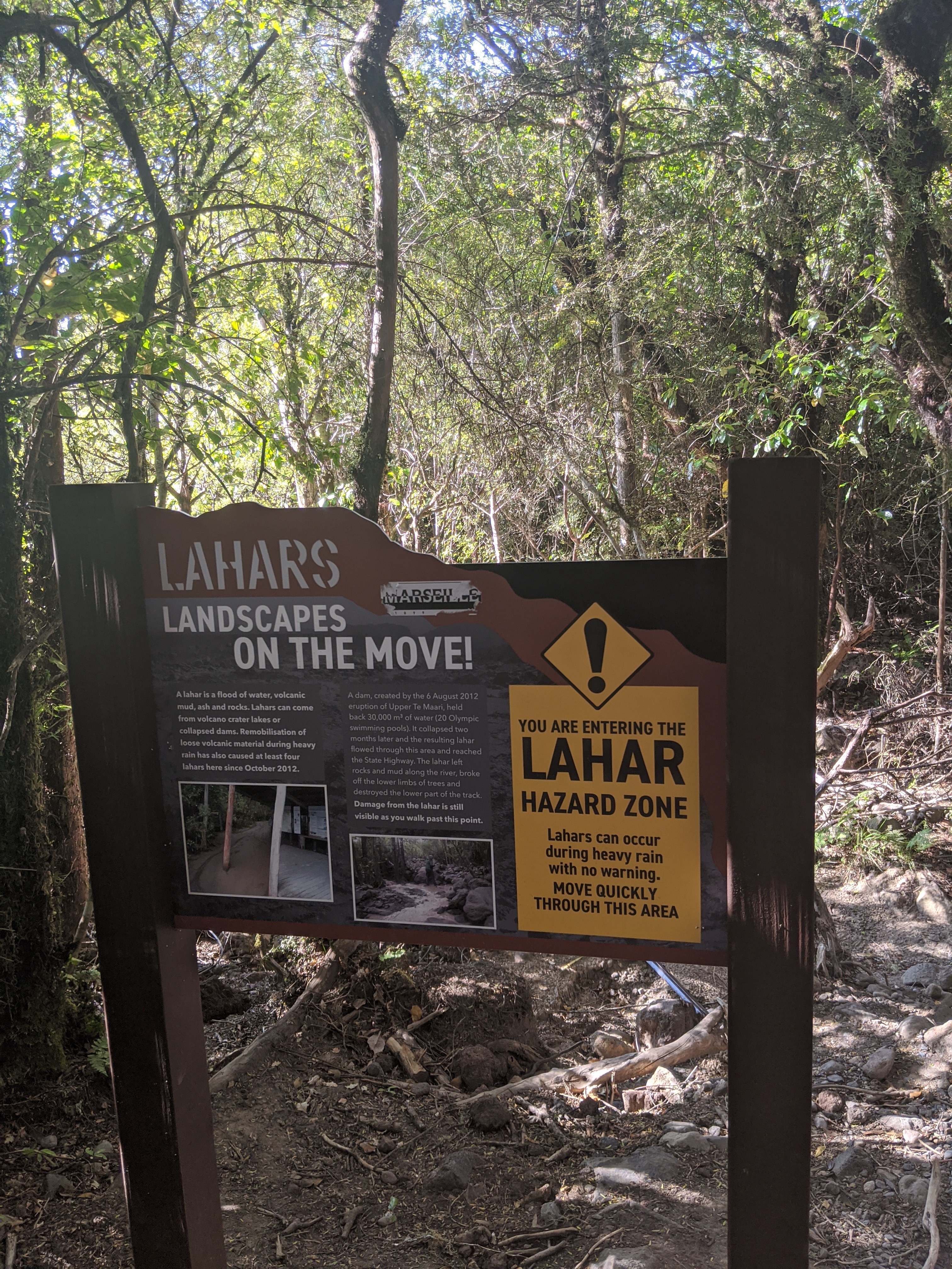
Love the signs. It was not bad at this point but you could see where we need to go.

These formations in front are piles of pumice.
There was an eruption in 2012.
At the top is the red crater. We will be walking right beside that as we get closer.
This is Mordor in the Lord of the Rings.
This is actually taken at the false summit. It was a pretty difficult climb here and of course if you go up you must come down. I found that even more difficult and needed to use poles to help because of the scree which is loose rock and sand. The guide was helpful in strategies to get down. This is how many get injured.
The 2 walls formed above is called a lava dike. This is a close up of the red crater.
The red crater.
A later formed in a crater.

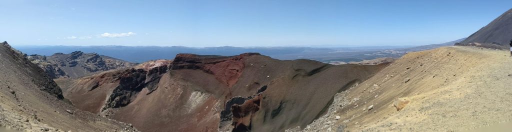
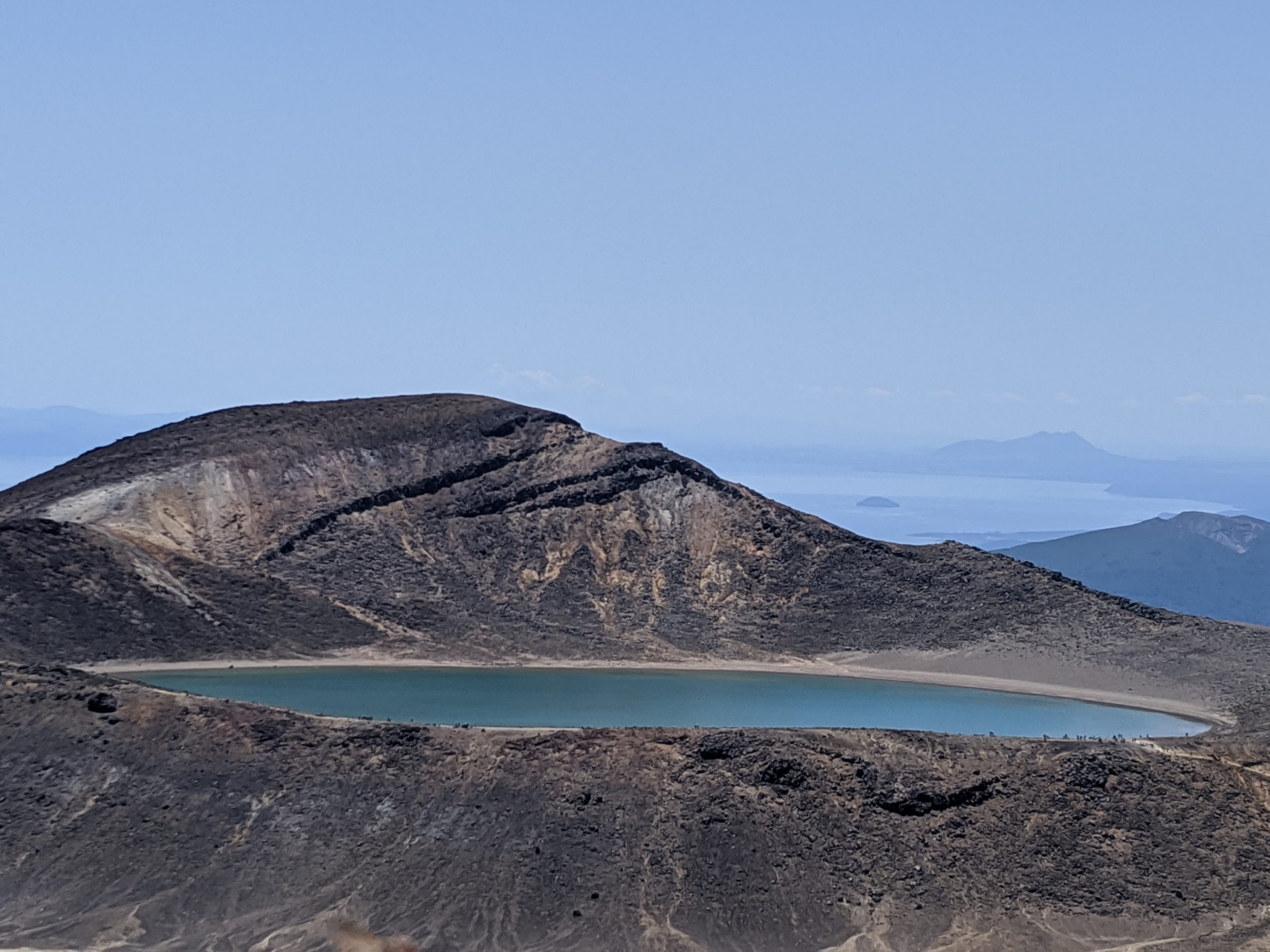
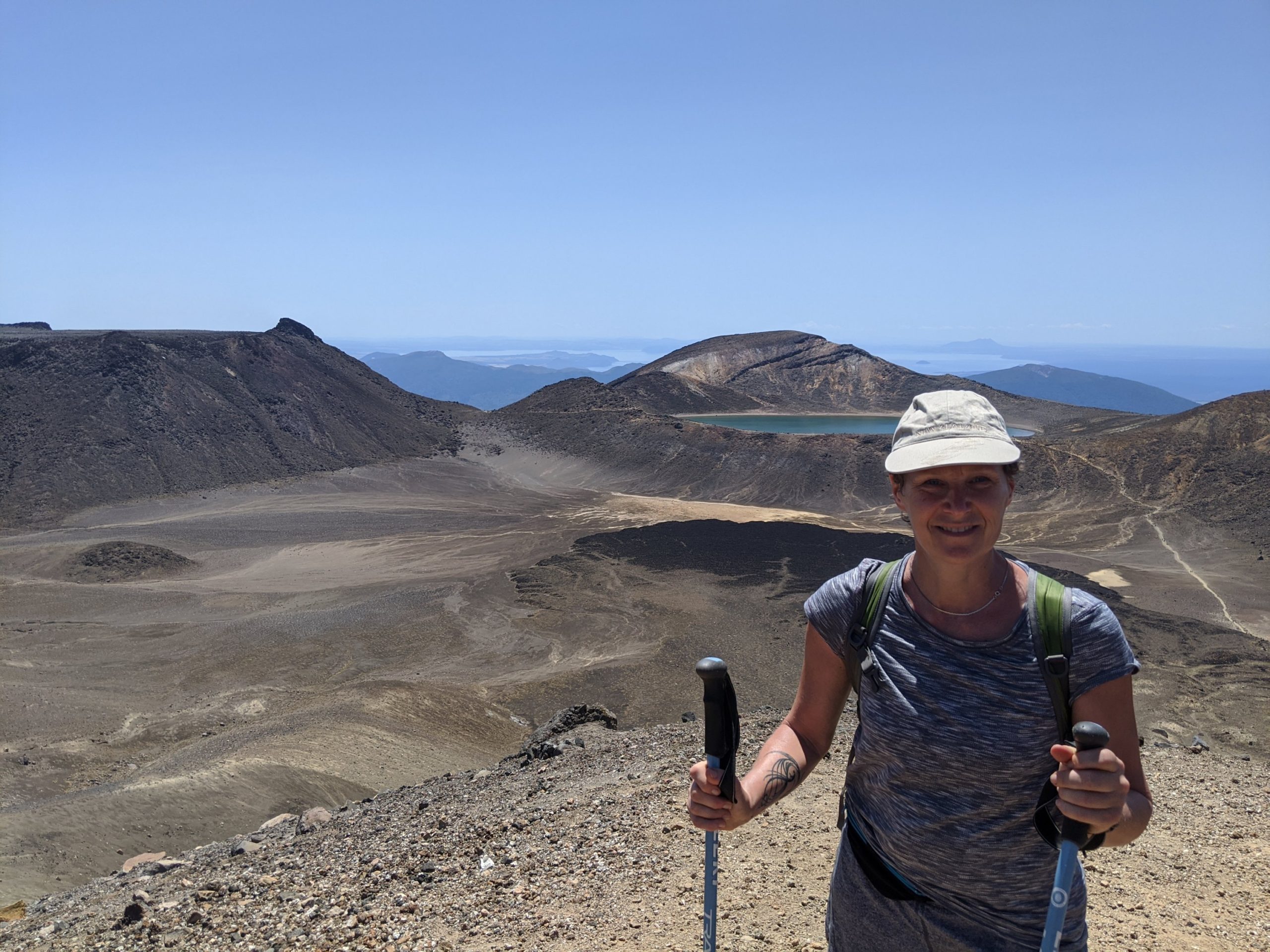
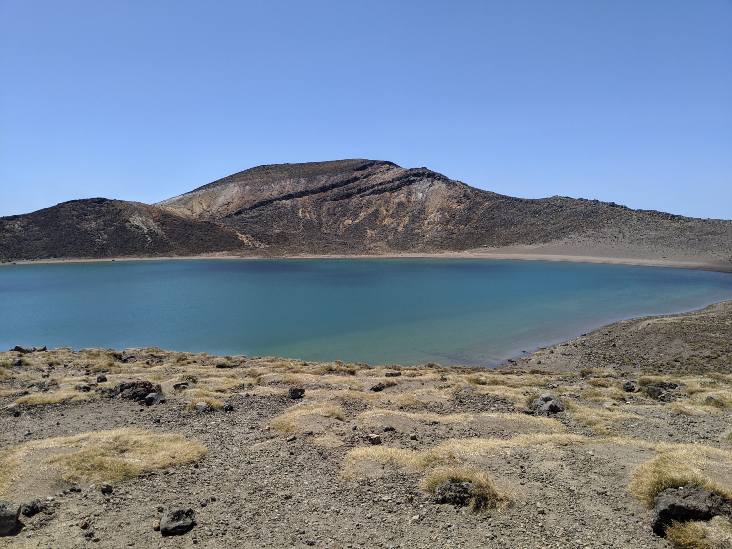
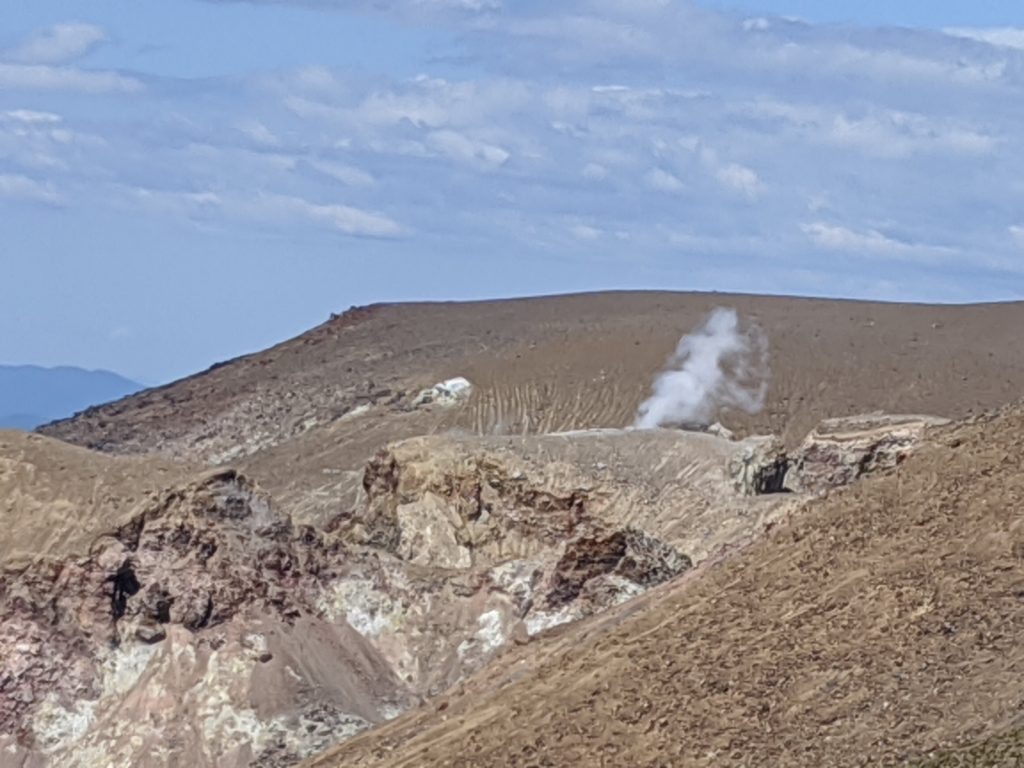
The lakes that form are a brilliant color but you would not want to drink or swim in them. The fumeroles around here are vents from the volcano. The stream that comes out has toxic chemicals in it and they land on the ground. When it rains it is washed into craters and becomes these lakes.

Emerald lakes.
A fumeroles where hot steam is rising from the magma below the ground.

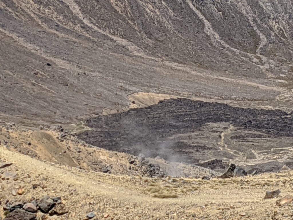
I shot a video of the rising steam:

Central crater. Dark area is lava flow from an eruption 300 years ago.
We now traveled around this crater and are now on the North side.
Blue lake. This is opposite the central crater.
Occasionally there are signs that tell you how far you have come and how far you have left to go. We are 2/3 through this hike. The worst is behind us.
Lake Taupo ahead is actually the size of Singapore. There are trees from China near there that have been planted. They take half the time to grow and are used for paper mostly.
The fumerole from another angle about 45 minutes later on the trail.
A rest hut used to stand near here but in the 2012 eruption a boulder took only 15 seconds to hit the hut. Luckily no one was in it and they never rebuilt it.
I like the signs showing progress along the way. From the summit on there is no turning back but before that point there are plenty of cautions and time to change direction and head back.
So close to the end. It is all downhill from here and in the shade which is very welcome right now!
Lahars are areas that will still get the effects from a volcanic eruption. The landscape here will change and there is danger from debris and gases falling.
It was a beautiful walk through this section. Very quiet. You can hear birds singing.
Finally I was at the end!
How far we traveled to get to the end.

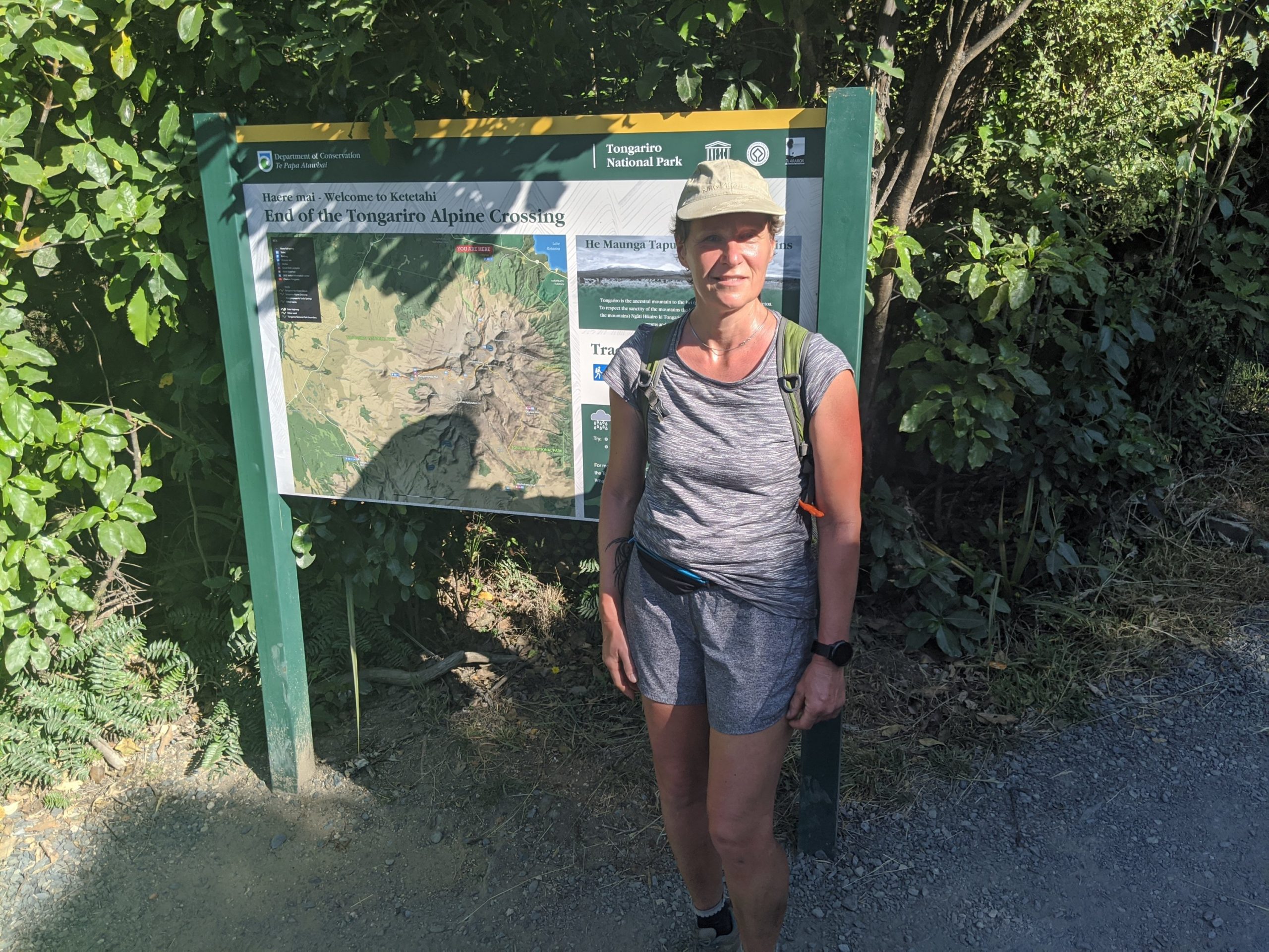
From the Tongariro site:

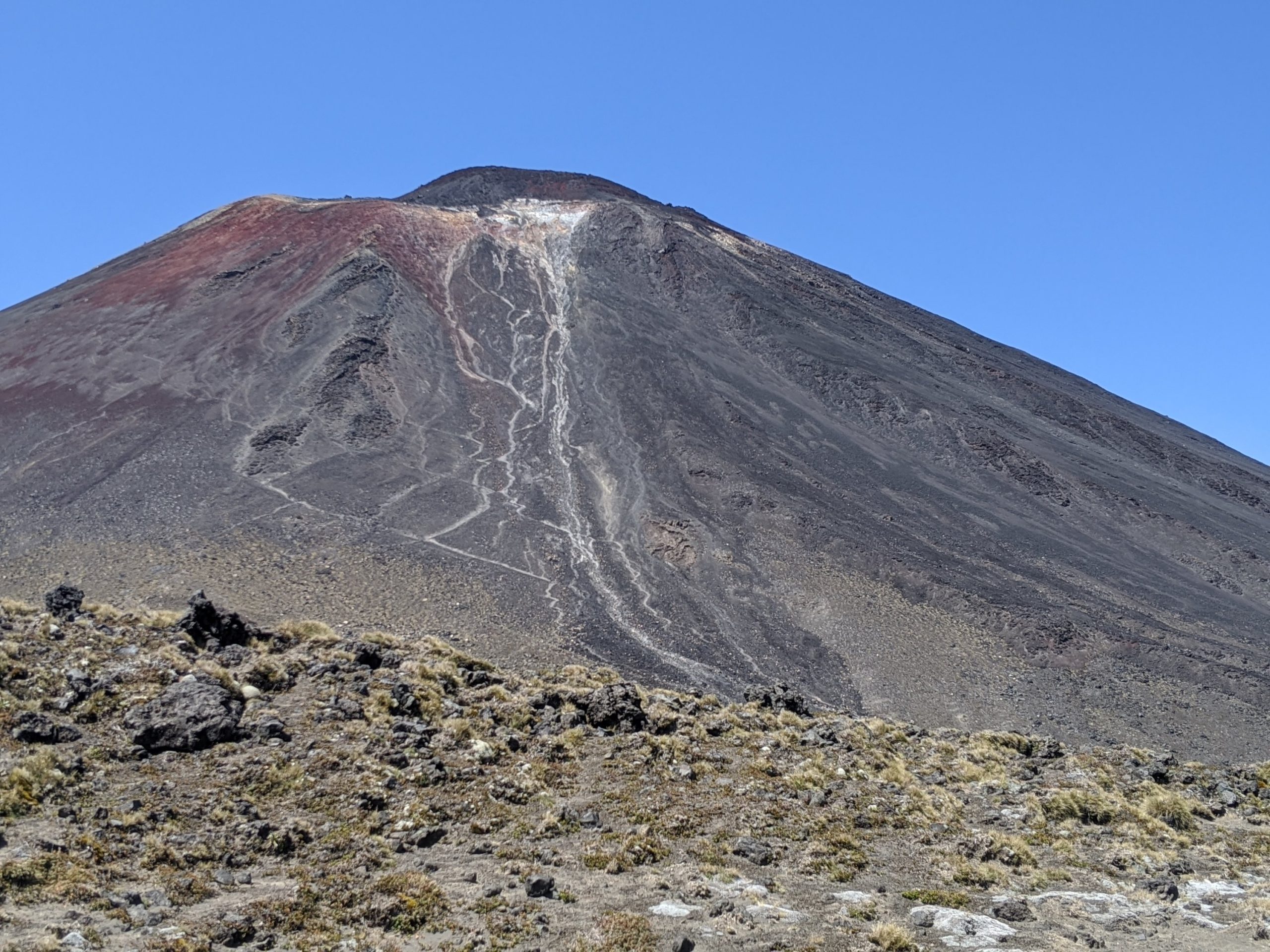
Tongariro National Park is New Zealand’s oldest national park and a dual World Heritage Site.  The Tongariro National Park is rich in both cultural identity and dramatic, awe-inspiring natural scenery.  Unique landforms, including the volcanic peaks of Ngauruhoe, Tongariro and Ruapehu ensure the Tongariro Alpine Crossing is considered a world-renowned trek.